Road cycling route through Hürth and Cologne
A road cycling route starting from Rodenkirchen
Explore Hürth and Cologne on this road cycling route
Map
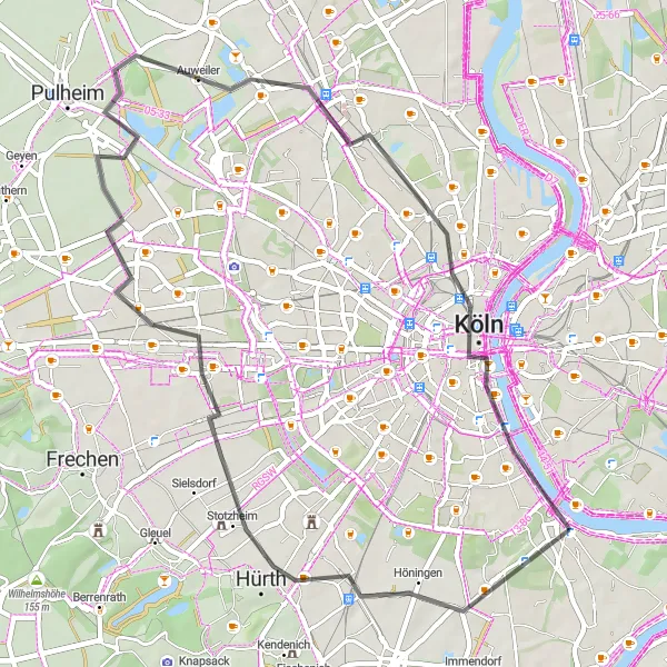
Experience the vibrant cities of Hürth and Cologne on this road cycling route. Covering a distance of 49 km with a gentle elevation gain of 118 meters, it offers a leisurely ride suitable for all skill levels. Highlights along the route include Hürth, Aussichtspunkt Pulheimer See, Orr, Hohenzollernbrücke, and Cologne. Immerse yourself in the bustling urban landscapes and cultural attractions along the way.
road
49 km
118 m
Chill
Route profile
Highlights on the route
0 km
0 km
Start: Locality centerRodenkirchen: Cycling paradise in Köln, Germany.
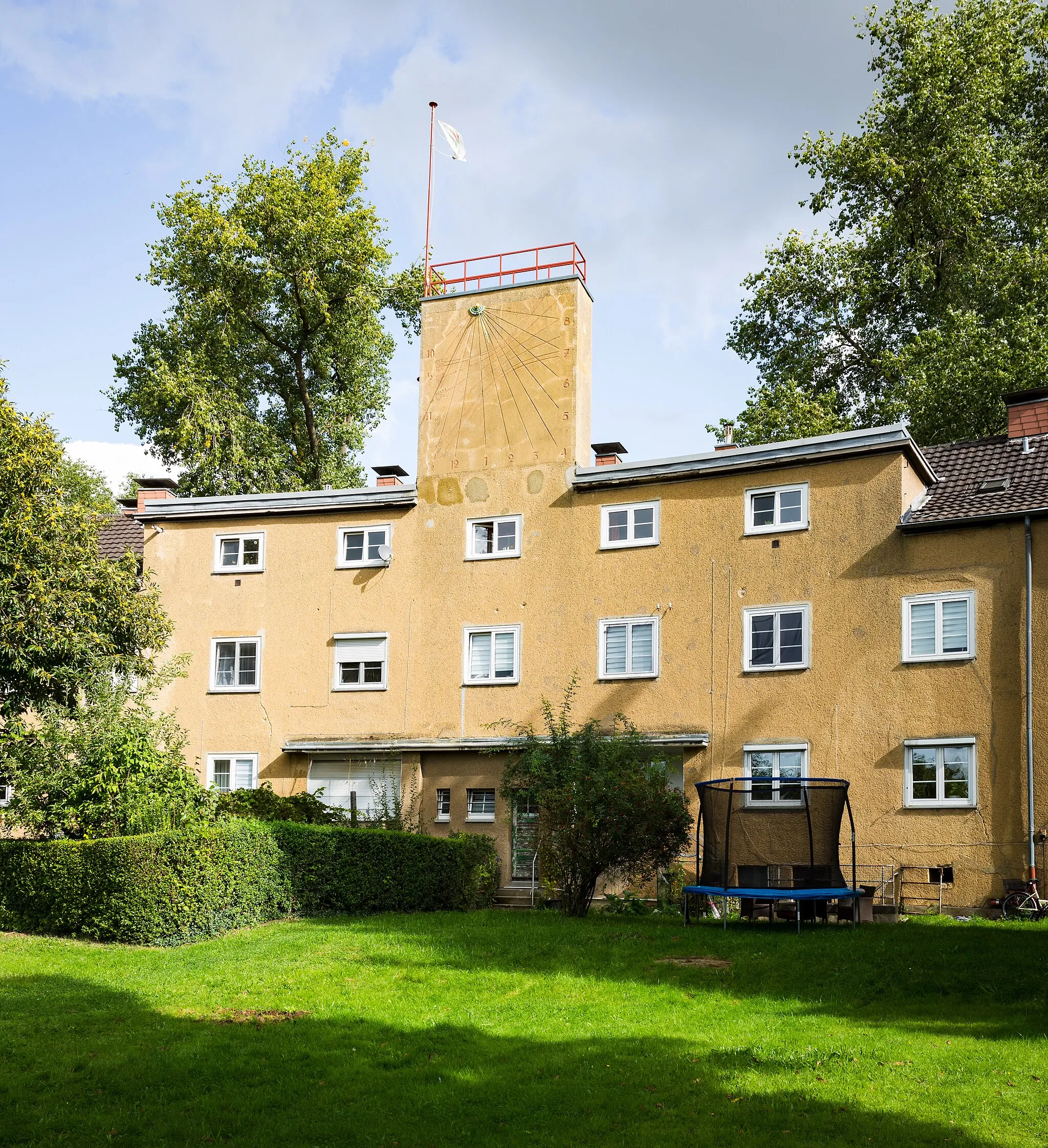
Rodenkirchen, located in Köln, Germany, is a cyclist-friendly area with a mix of urban and rural routes. As a road and gravel cyclist, you can explore the city streets and enjoy the vibrant atmosphere. There are also beautiful rural roads surrounding Rodenkirchen, perfect for longer rides and escaping the hustle and bustle of the city. While there may not be any well-known climbs in the immediate vicinity, the area offers a varied terrain with some challenging hills. Overall, Rodenkirchen is a great destination for cyclists looking for diverse routes and a lively cycling scene.9 km
9 km
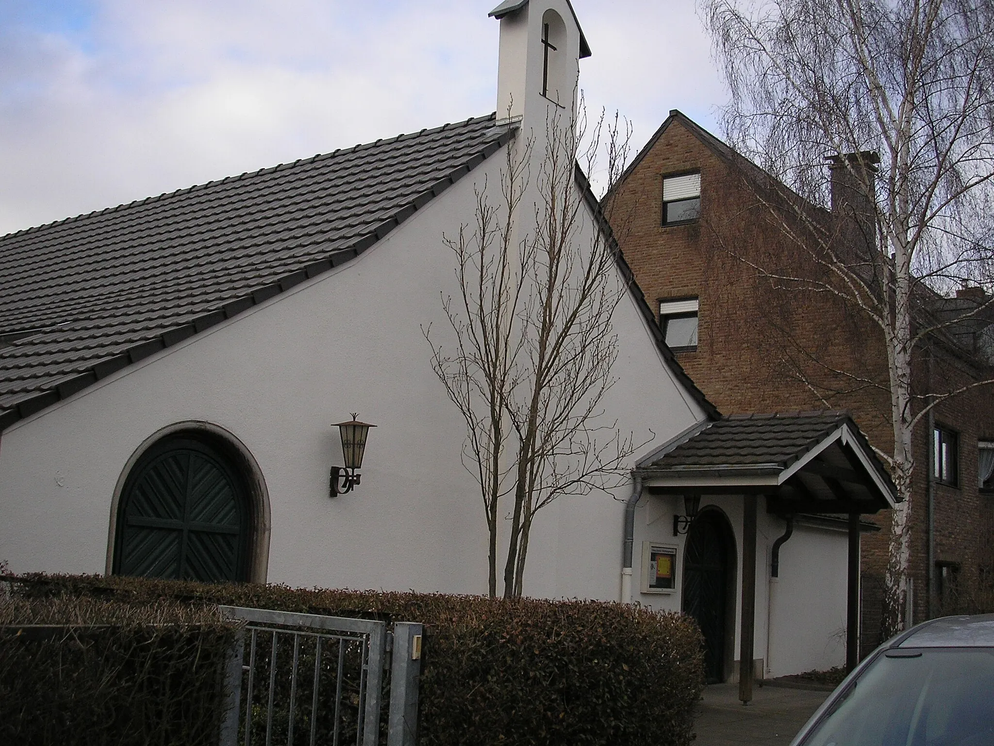
HürthTownExplore the town of Hürth, known for its historical architecture and charming streets.
25 km
25 km
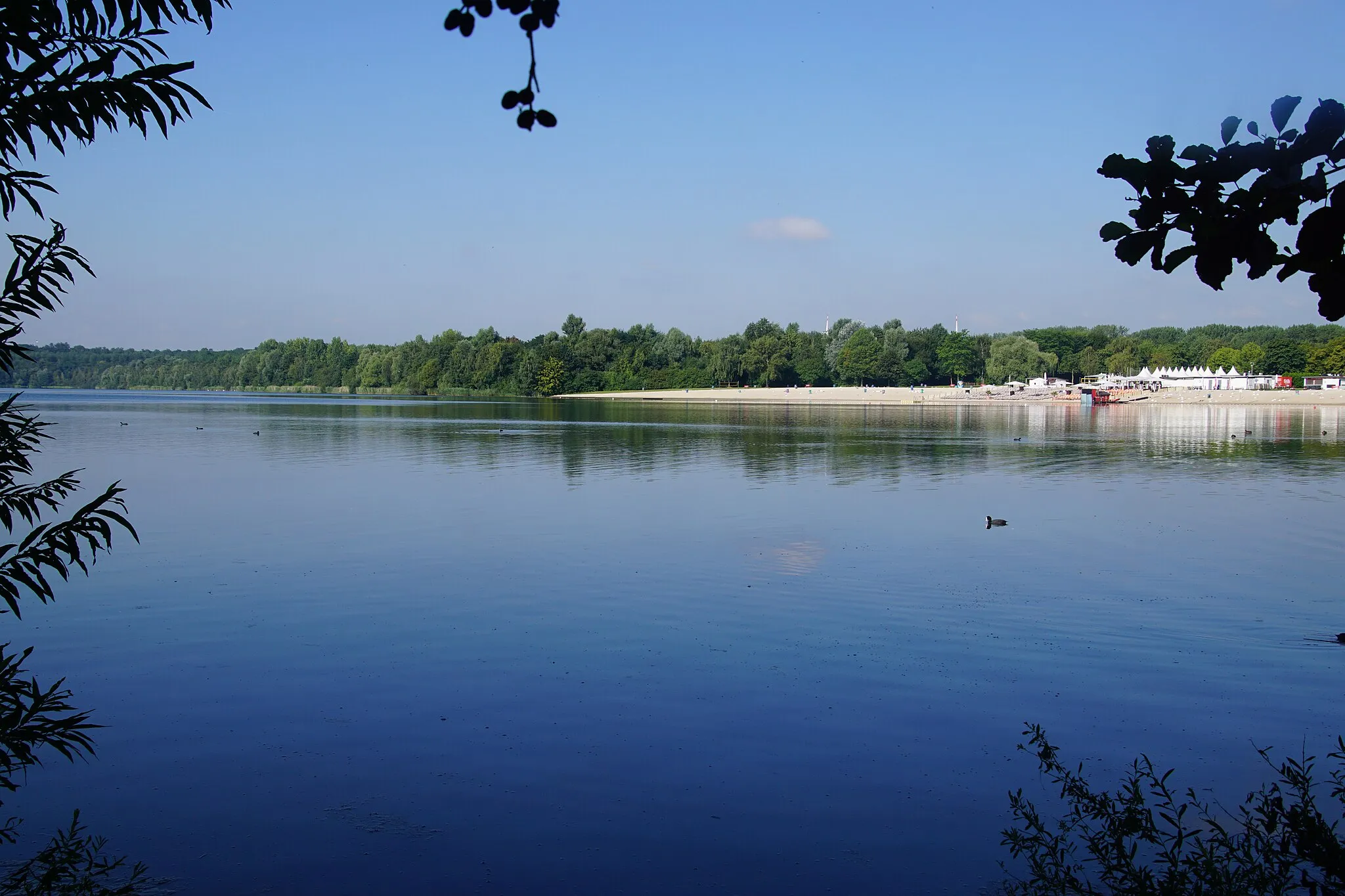
Aussichtspunkt Pulheimer SeeViewpointEnjoy panoramic views of Pulheimer See from Aussichtspunkt Pulheimer See, an elevated viewpoint offering stunning vistas of the lake and surrounding nature.
28 km
28 km
OrrHamletDiscover Orr, a picturesque village with traditional half-timbered houses and a tranquil atmosphere.
42 km
42 km
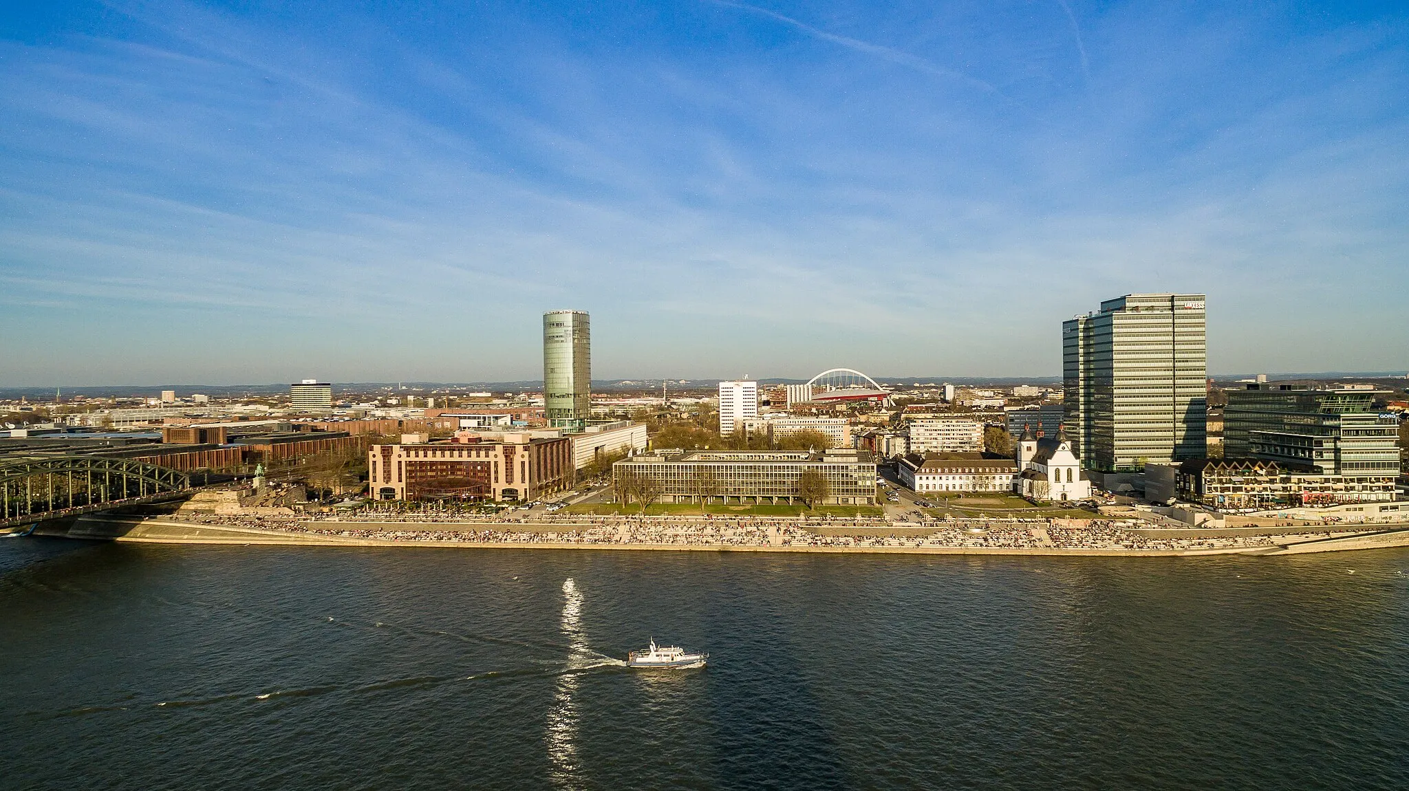
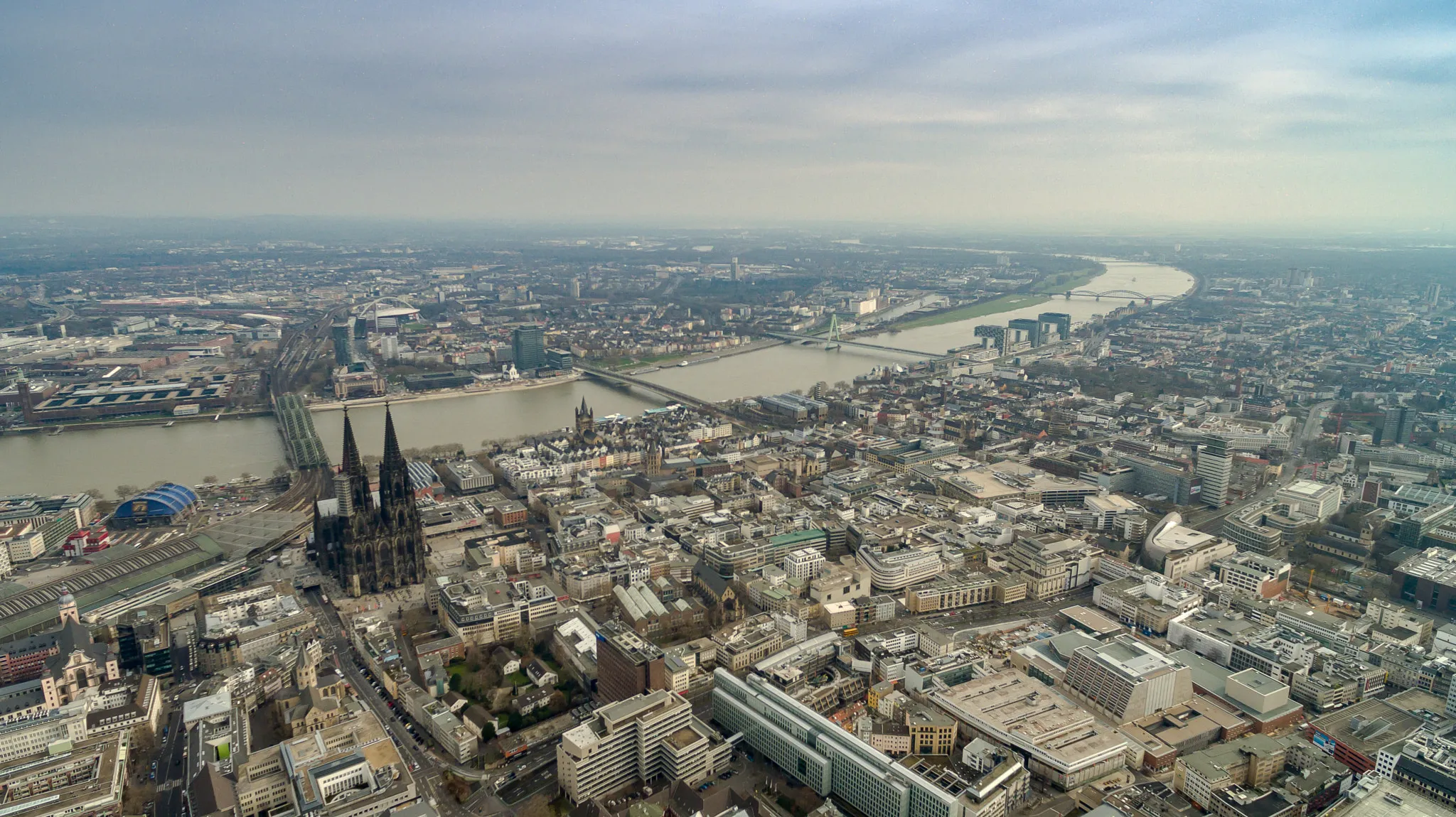
HohenzollernbrückeViewpointCross the iconic Hohenzollernbrücke, a famous bridge at the heart of Cologne with unparalleled views of the city skyline and the Rhine River.
42 km
42 km
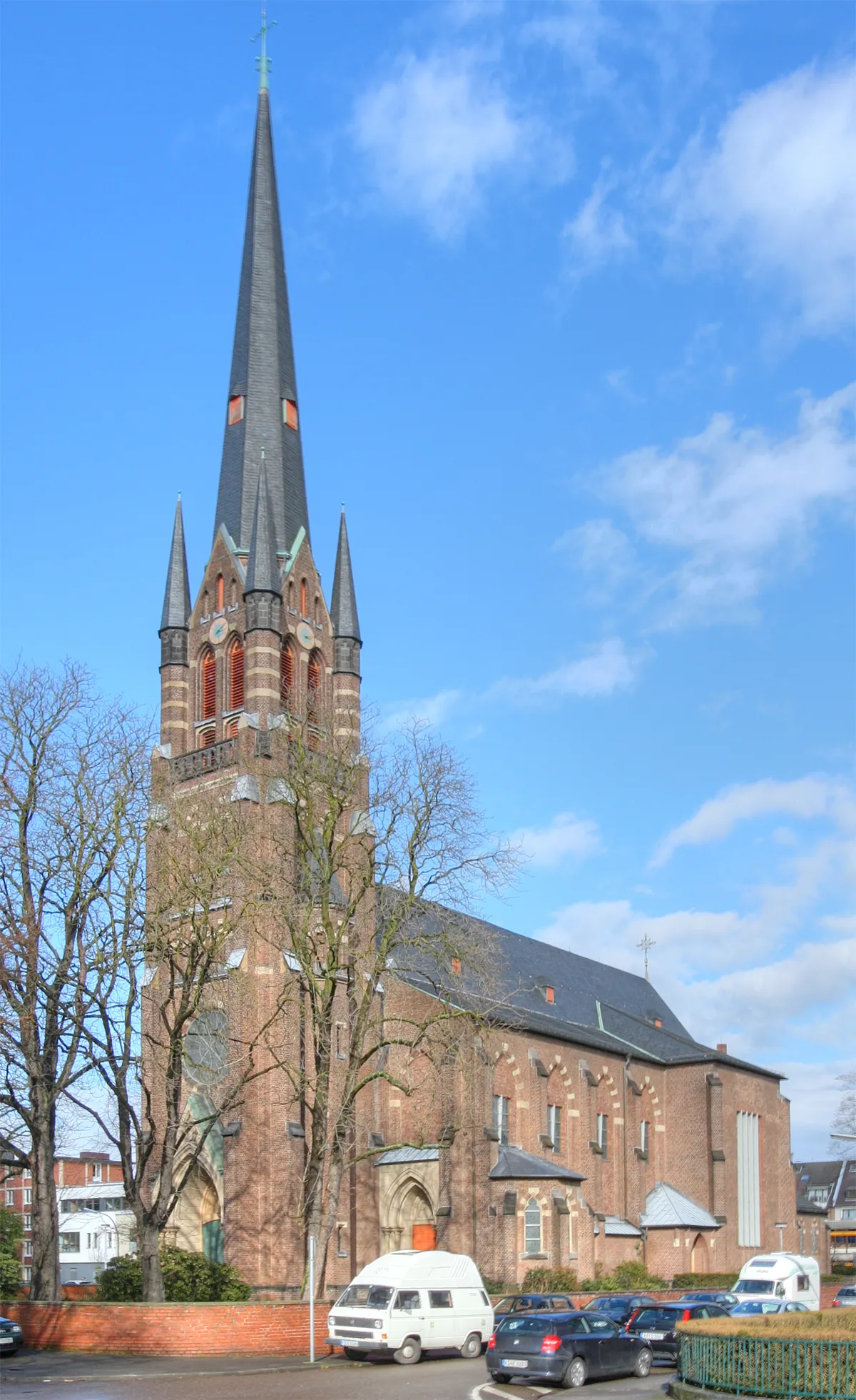
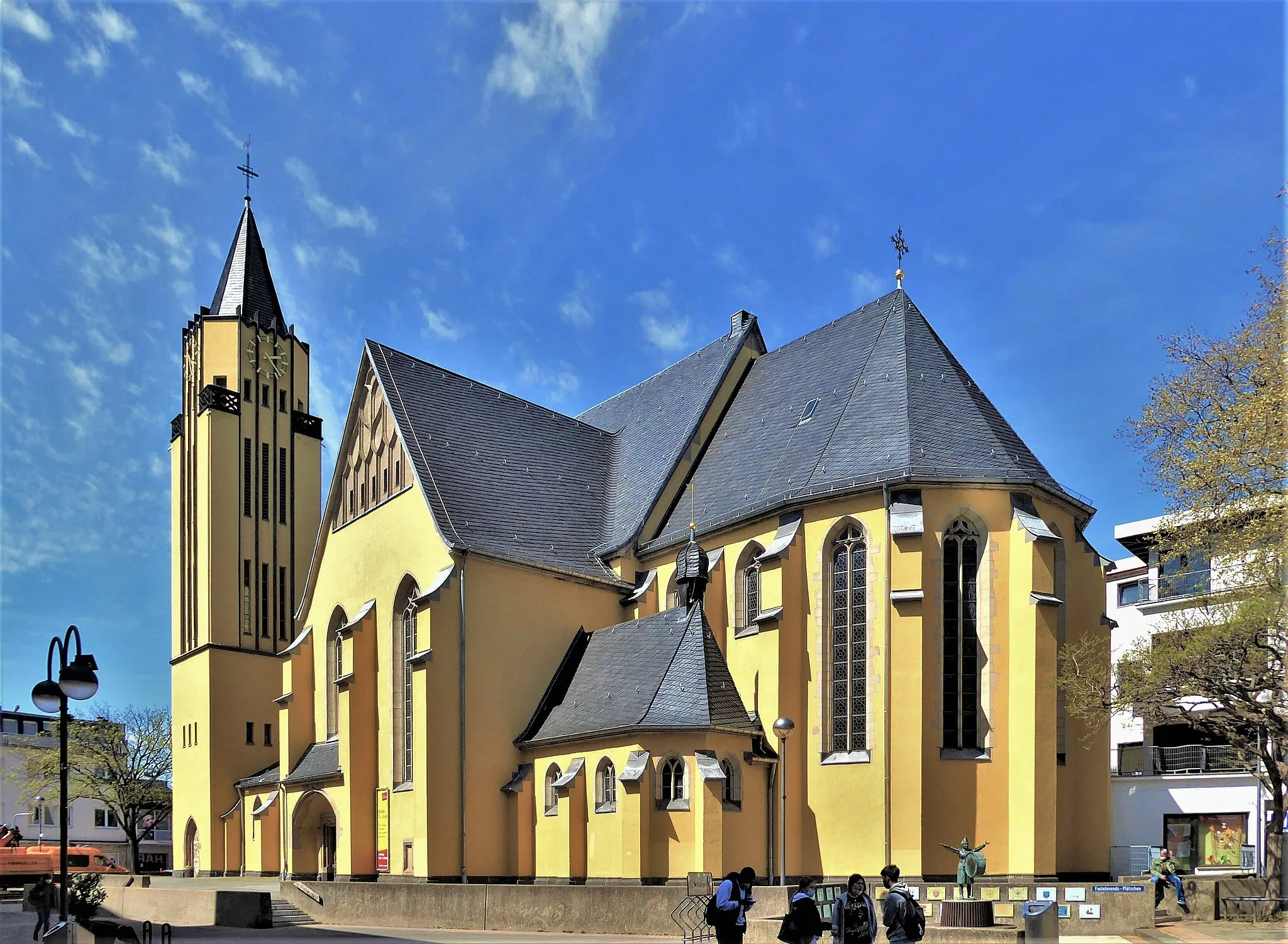
CologneCityExplore Cologne, a metropolis full of cultural attractions including its iconic cathedral, historical sites, and vibrant nightlife.
49 km
49 km
Finish: Locality centerRodenkirchen: Cycling paradise in Köln, Germany.
Cycling routes from Rodenkirchen:
Charming Ride In The Countryside Explore the Rhein River Valley Discover Cologne's Surroundings Challenge Yourself in the Bergisches Land The Rhein Route Gravel through Bayenthal and Westhoven Gravel adventure to Hennef (Sieg) Picturesque gravel route to Zündorf The ultimate gravel challenge to Finkenberg Road cycling route through Hürth and Cologne
Cycling routes nearby: