Gravel through Bayenthal and Westhoven
A gravel cycling route starting from Rodenkirchen
A gravel adventure through Bayenthal and Westhoven
Map
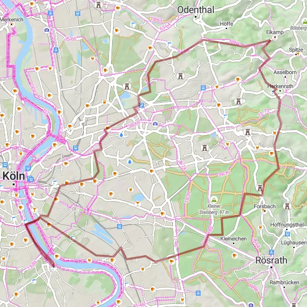
This scenic gravel route takes you through the charming neighborhoods of Bayenthal and Westhoven. With a distance of 62 km and an ascent of 445 meters, it offers a moderate challenge to cyclists. Along the way, you'll pass picturesque highlights such as Südbrücke, Holweide, Oberkäsbach, Moitzfeld, Tütberg, Großer Steinberg, and Westhoven. Explore these attractions while enjoying the beautiful natural landscapes surrounding Rodenkirchen.
gravel
62 km
445 m
Tough
Route profile
Highlights on the route
0 km
0 km
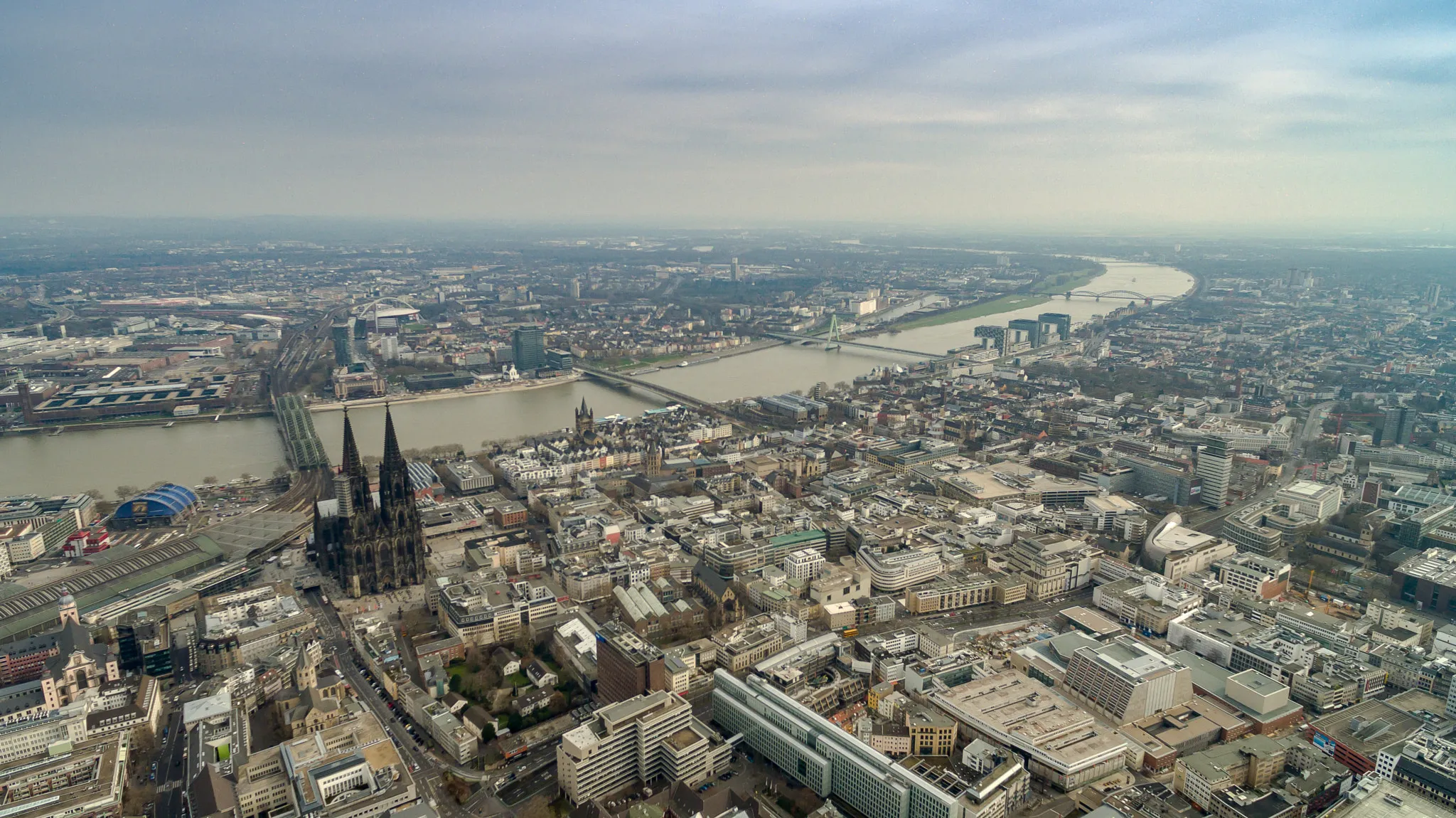
Start: Locality centerRodenkirchen: Cycling paradise in Köln, Germany.
Rodenkirchen, located in Köln, Germany, is a cyclist-friendly area with a mix of urban and rural routes. As a road and gravel cyclist, you can explore the city streets and enjoy the vibrant atmosphere. There are also beautiful rural roads surrounding Rodenkirchen, perfect for longer rides and escaping the hustle and bustle of the city. While there may not be any well-known climbs in the immediate vicinity, the area offers a varied terrain with some challenging hills. Overall, Rodenkirchen is a great destination for cyclists looking for diverse routes and a lively cycling scene.2 km
2 km
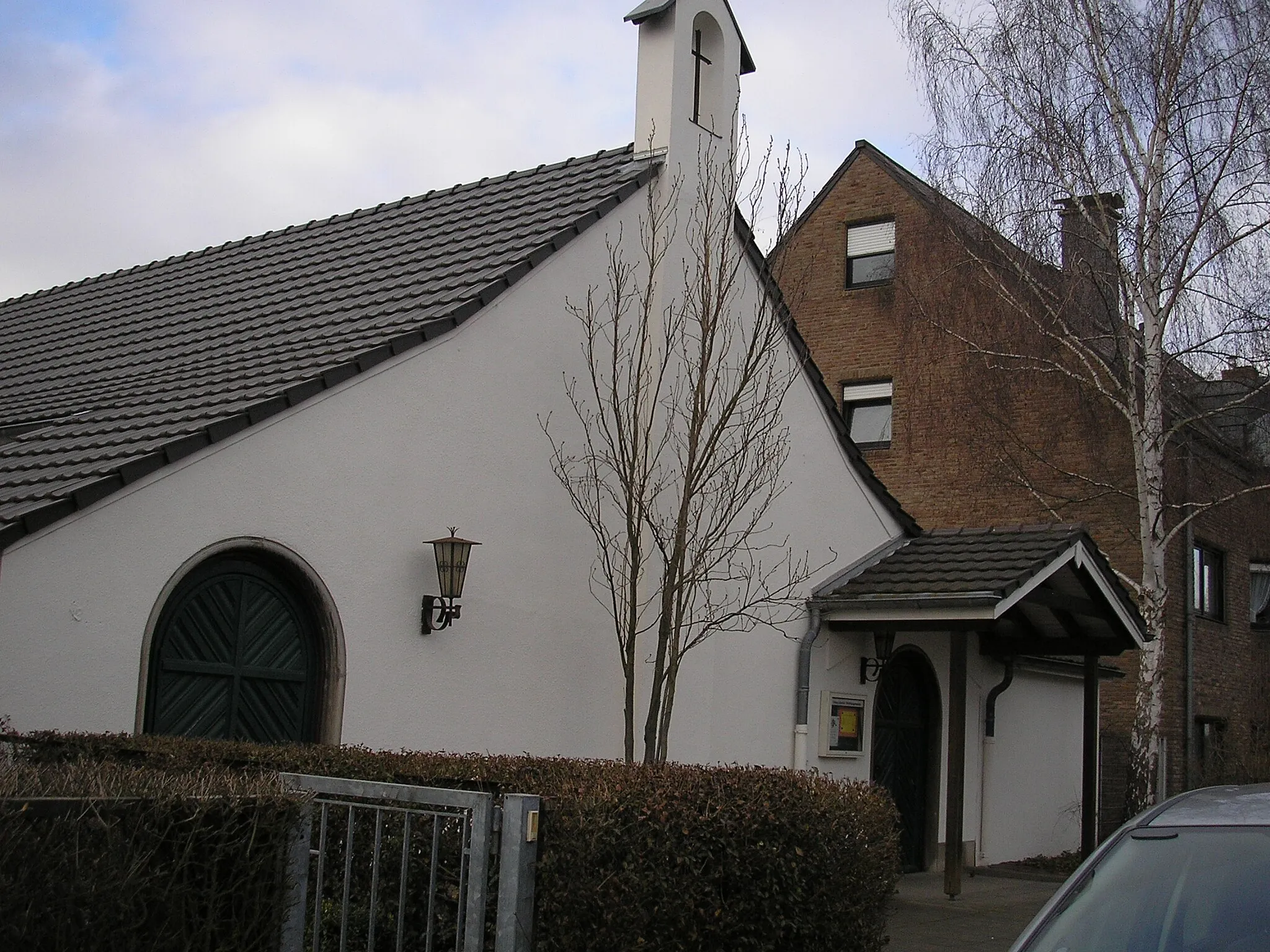
BayenthalSub-urbVisit Bayenthal, a historic neighborhood known for its quaint houses and charming streets.
3 km
3 km
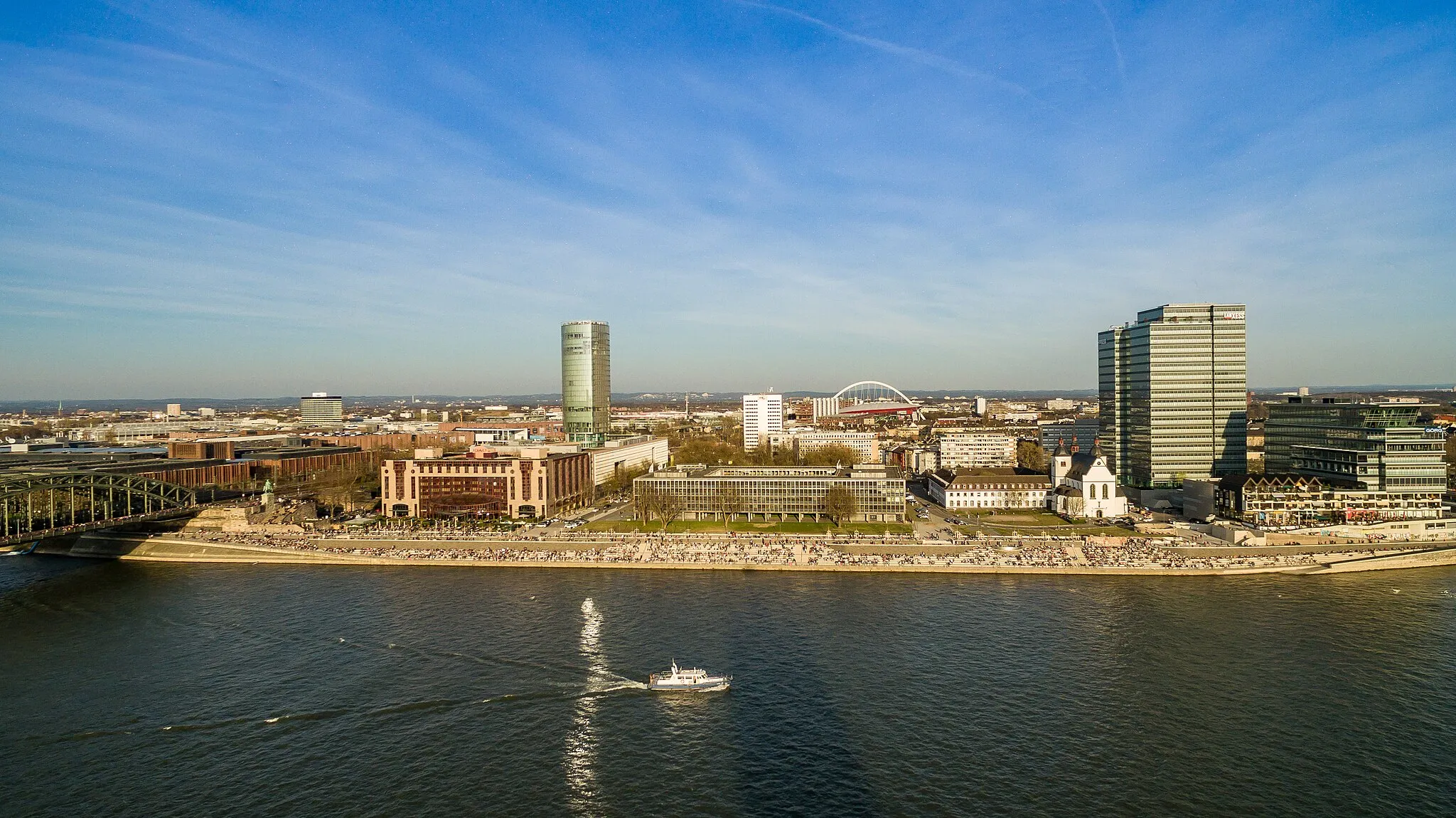
SüdbrückeViewpointExplore Südbrücke, a stunning bridge with panoramic views of the Rhine River.
13 km
13 km
HolweideSub-urbDiscover Holweide, a peaceful suburb with beautiful parks and green spaces.
26 km
26 km
OberkäsbachHamletExperience the rural charm of Oberkäsbach, a small village surrounded by rolling hills.
34 km
34 km
MoitzfeldVillageVisit Moitzfeld, a picturesque town famous for its historic buildings and vibrant atmosphere.
37 km
37 km
Tütberg212 mShelterExplore Tütberg, a scenic hill offering breathtaking views of the surrounding countryside.
42 km
42 km
Großer Steinberg130 mPeakExperience the majestic Großer Steinberg, a large rock formation perfect for hiking and exploration.
54 km
54 km
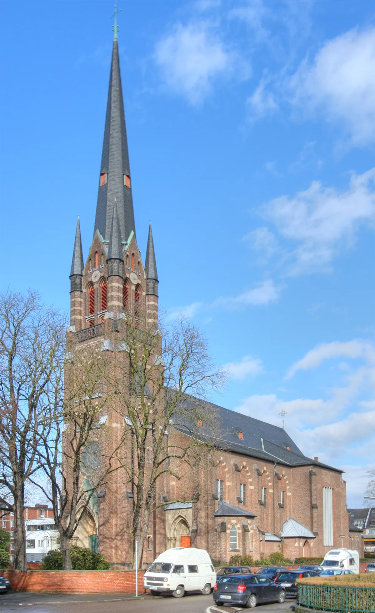
WesthovenSub-urbDiscover the charming neighborhood of Westhoven, known for its historic architecture and vibrant atmosphere.
62 km
62 km
Finish: Locality centerRodenkirchen: Cycling paradise in Köln, Germany.
Cycling routes from Rodenkirchen:
Charming Ride In The Countryside Explore the Rhein River Valley Discover Cologne's Surroundings Challenge Yourself in the Bergisches Land The Rhein Route Gravel through Bayenthal and Westhoven Gravel adventure to Hennef (Sieg) Picturesque gravel route to Zündorf The ultimate gravel challenge to Finkenberg Road cycling route through Hürth and Cologne
Cycling routes nearby: