Discover Cologne's Surroundings
A road cycling route starting from Rodenkirchen
Experience the diverse surroundings of Cologne on this road cycling route.
Map
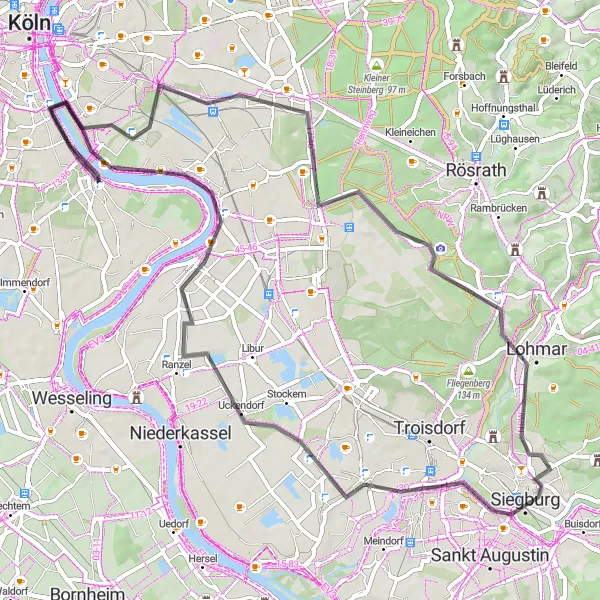
Experience the diverse surroundings of Cologne on this road cycling route. With a total distance of 69 kilometers and an ascent of 244 meters, this route is suitable for intermediate level cyclists. The route takes you through various landscapes, including charming villages, rolling hills, and river views. Along the way, you'll pass by historical landmarks and enjoy scenic viewpoints.
road
69 km
244 m
Tough
Route profile
Highlights on the route
0 km
0 km
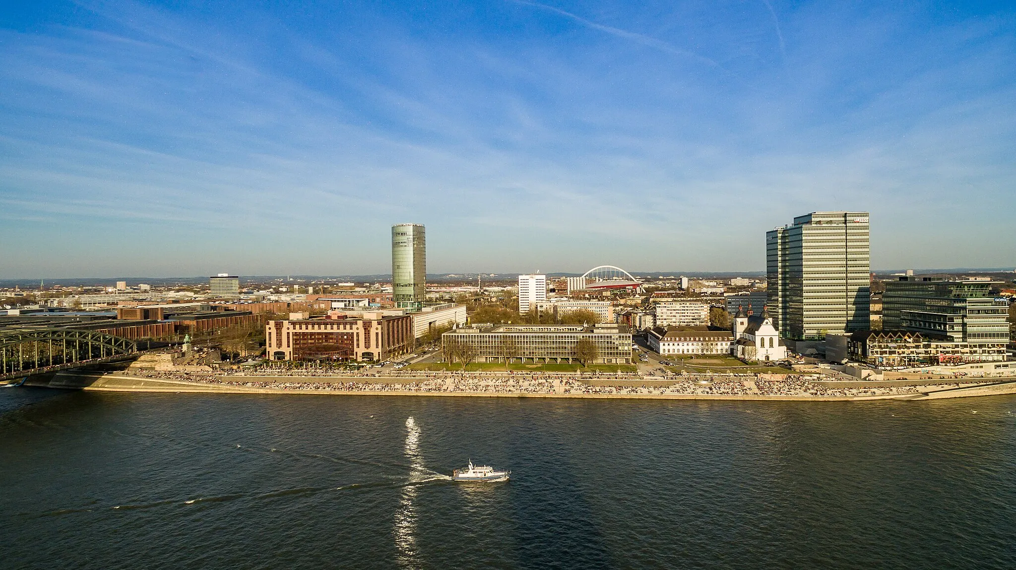
Start: Locality centerRodenkirchen: Cycling paradise in Köln, Germany.
Rodenkirchen, located in Köln, Germany, is a cyclist-friendly area with a mix of urban and rural routes. As a road and gravel cyclist, you can explore the city streets and enjoy the vibrant atmosphere. There are also beautiful rural roads surrounding Rodenkirchen, perfect for longer rides and escaping the hustle and bustle of the city. While there may not be any well-known climbs in the immediate vicinity, the area offers a varied terrain with some challenging hills. Overall, Rodenkirchen is a great destination for cyclists looking for diverse routes and a lively cycling scene.2 km
2 km
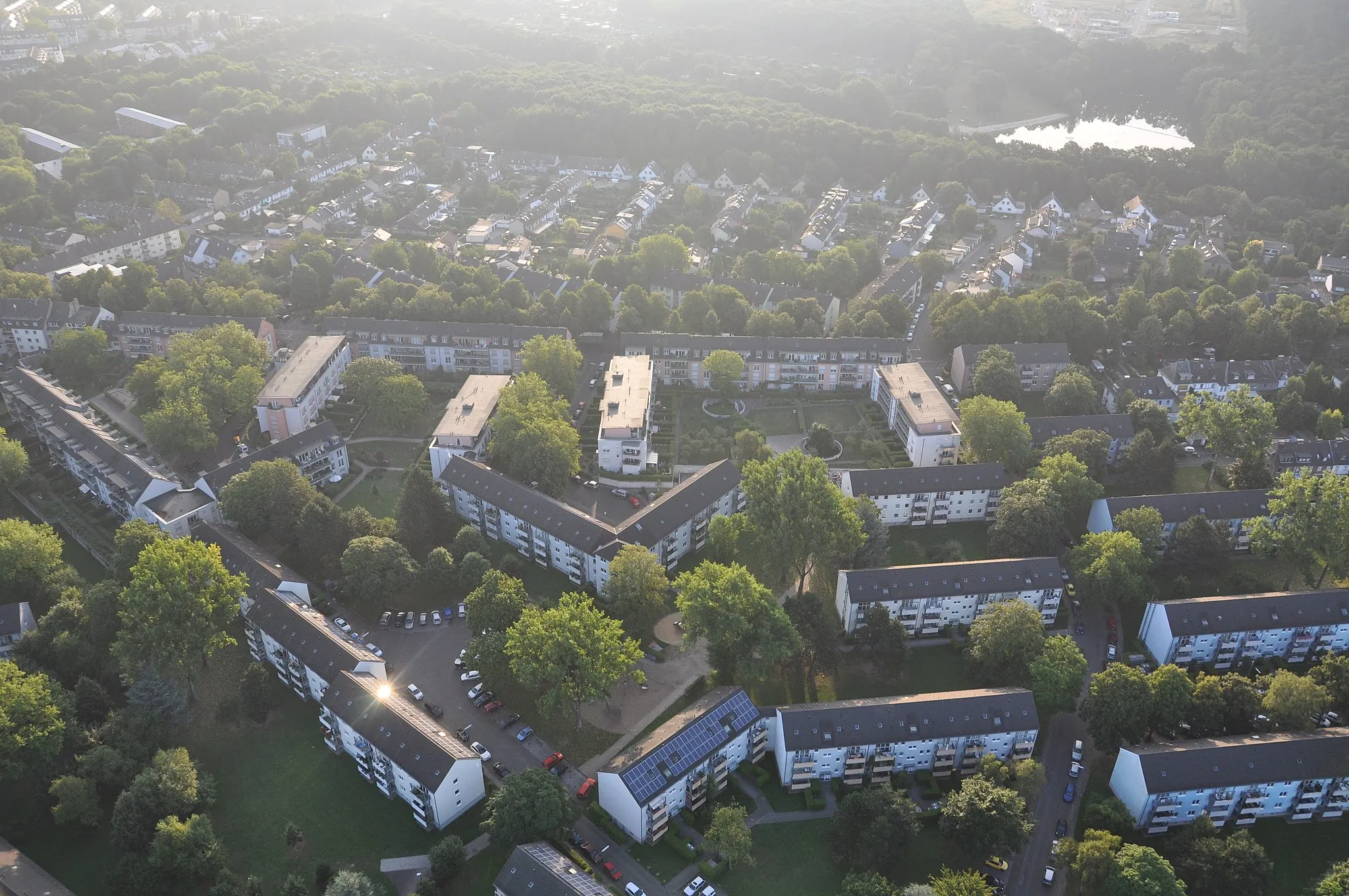
BayenthalSub-urb3 km
3 km
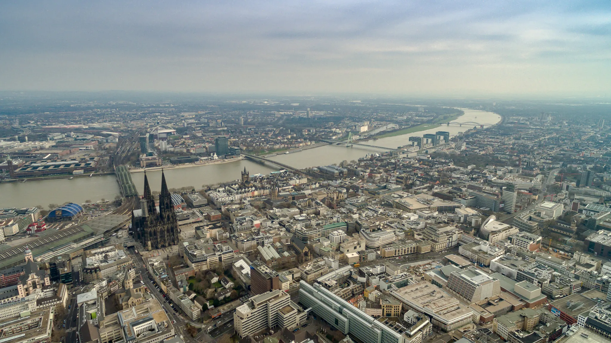
SüdbrückeViewpointMake a stop at Südbrücke, a picturesque bridge offering panoramic views of the surrounding countryside.
9 km
9 km
VingstSub-urbPass through Vingst, a charming village known for its historic buildings and beautiful surroundings.
22 km
22 km
Spotting Point am AnflugradarViewpoint29 km
29 km
LohmarTownEnjoy the scenic views from Lohmar, a charming town located in the rolling hills of the region.
35 km
35 km
Michaelsberg118 mPeakVisit Michaelsberg, a hill offering panoramic views of the surrounding countryside.
42 km
42 km
SieglarSub-urbTake a break at Sieglar and explore this historic village with its traditional half-timbered houses.
55 km
55 km
ZündorfSub-urbPass through Zündorf, a quaint village with a peaceful atmosphere and beautiful river views.
65 km
65 km
BottmühleAttractionDon't miss Bottmühle, an old water mill surrounded by scenic countryside.
69 km
69 km
Finish: Locality centerRodenkirchen: Cycling paradise in Köln, Germany.
Cycling routes from Rodenkirchen:
Charming Ride In The Countryside Explore the Rhein River Valley Discover Cologne's Surroundings Challenge Yourself in the Bergisches Land The Rhein Route Gravel through Bayenthal and Westhoven Gravel adventure to Hennef (Sieg) Picturesque gravel route to Zündorf The ultimate gravel challenge to Finkenberg Road cycling route through Hürth and Cologne
Cycling routes nearby: