Röttgen Loop
A road cycling route starting from Hoehenberg
Explore the scenic Röttgen area on this challenging road cycling route.
Map
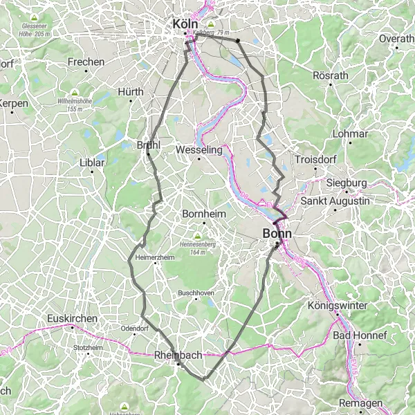
The Röttgen Loop is a challenging road cycling route that takes you through beautiful countryside and picturesque villages in the Höhenberg area. With a total distance of 99 km and an ascent of 354 m, this route is perfect for well-trained amateur cyclists who are looking for a good workout. The highlights of this route include Libur, the historic town of AltZoll, and the serene Niederdrees. Overall, this route offers stunning views and a rewarding cycling experience.
road
99 km
354 m
Tough
Route profile
Highlights on the route
0 km
0 km
Start: Locality centerHöhenberg: Enjoy the best of both worlds – urban amenities and scenic cycling routes – in Höhenberg, Köln.
Höhenberg is a locality located in Köln, Germany. For road and gravel cyclists, Höhenberg offers a range of cycling opportunities within close proximity to urban amenities. The region boasts a mix of flat and hilly terrain, allowing cyclists to choose routes that cater to their preferences. Höhenberg itself may not have any specific famous cycling-related spots, but its location within Köln provides easy access to well-known cycling routes along the Rhine River. Overall, Höhenberg offers a convenient cycling base with access to urban delights and scenic pathways along the Rhine.12 km
12 km
LiburVillageLocated in the heart of the Röttgen, Libur is a charming village known for its traditional half-timbered houses and historical sites.
28 km
28 km
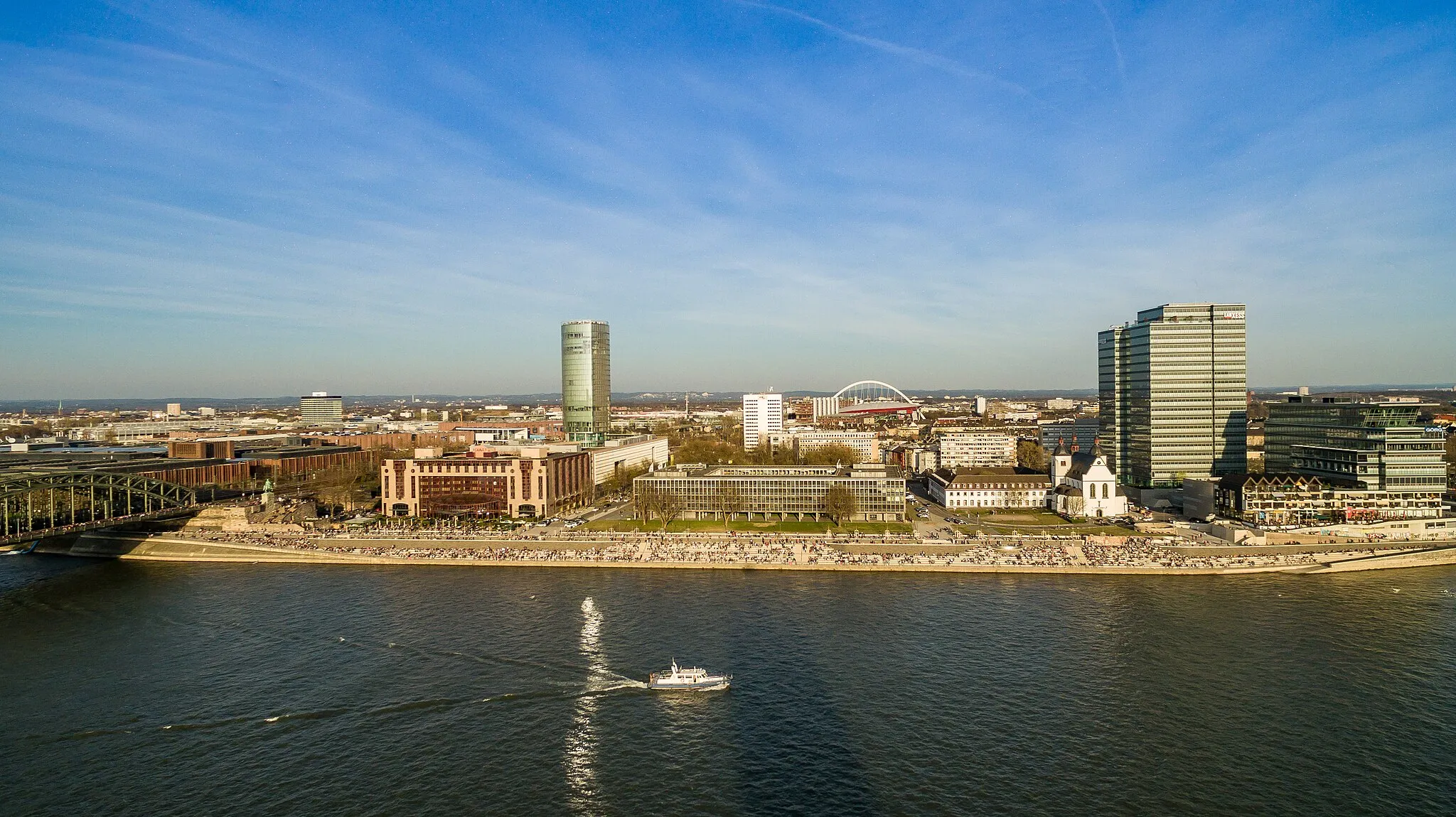
Alter ZollViewpointAltZoll is a historic town that offers stunning views of the surrounding countryside and is home to several notable landmarks, including the Cologne Triangle.
36 km
36 km
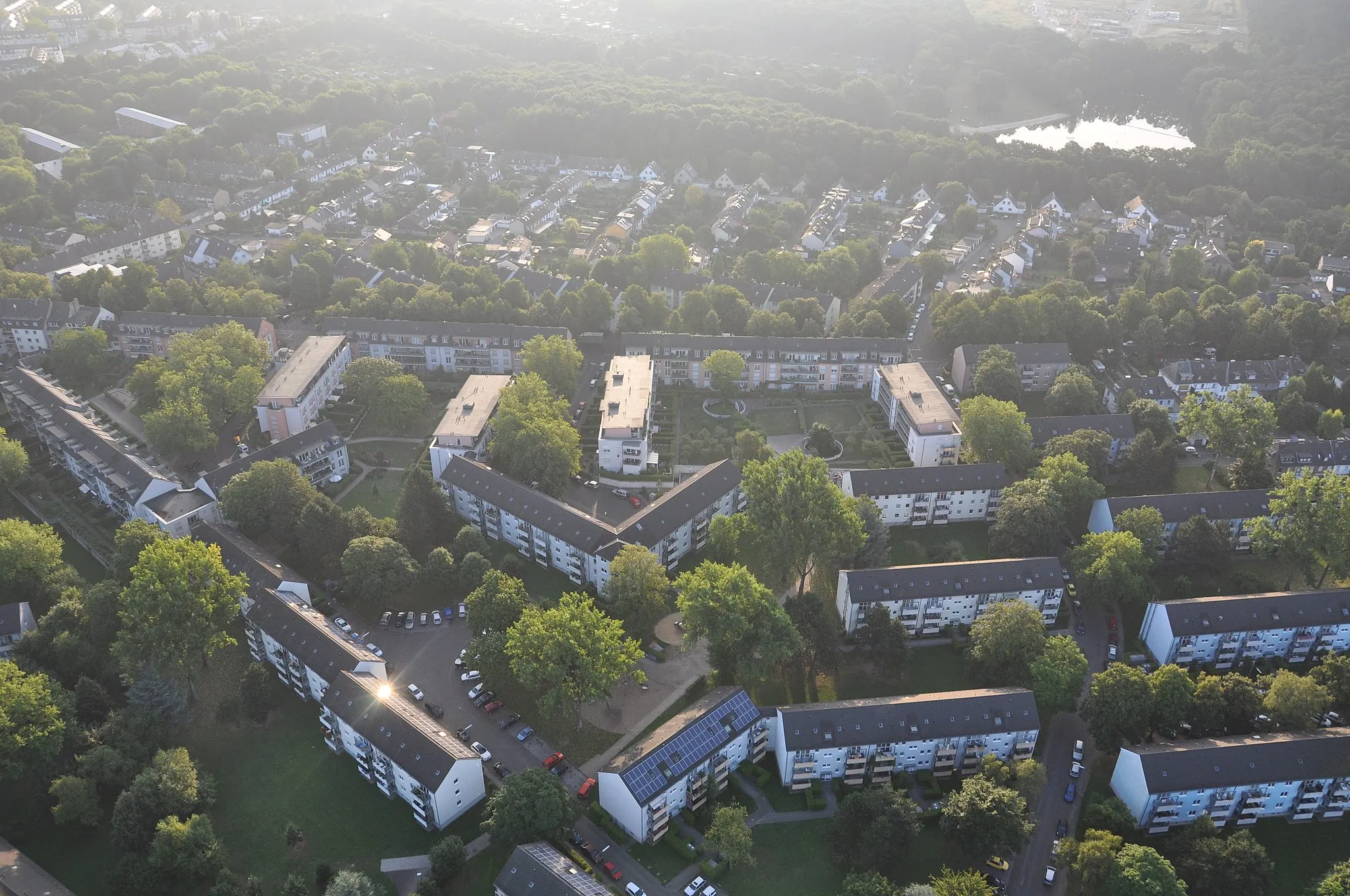
RöttgenVillageRöttgen is a serene village with beautiful countryside views and a peaceful atmosphere, making it the perfect spot to take a break and enjoy the scenery.
55 km
55 km
NiederdreesVillageNiederdrees is a small village with a rich history and a charming rural charm. Take a moment to explore the old streets and admire the traditional architecture.
64 km
64 km
MüggenhausenVillageMüggenhausen is a picturesque village surrounded by lush green landscapes and beautiful fields. Stop by and enjoy the tranquility of the rural area.
86 km
86 km
HöningenVillageHöningen is a quaint village with a charming atmosphere and beautiful views. Enjoy a leisurely stroll through the village and soak in the local culture.
94 km
94 km
Köln TriangleViewpointKöln Triangle is an iconic landmark in the area, offering panoramic views of Cologne and the surrounding region. Don't miss the opportunity to take some great photos.
97 km
97 km
VingstSub-urbVingst is a vibrant neighborhood with a lively atmosphere and a variety of cultural attractions. Take a break and explore the area's unique shops, cafes, and galleries.
99 km
99 km
Finish: Locality centerHöhenberg: Enjoy the best of both worlds – urban amenities and scenic cycling routes – in Höhenberg, Köln.
Cycling routes from Hoehenberg:
Discover the Gravel Wonder: Deutz to Höhenberg Vohwinkel Adventure Alfter Loop Höningen Adventure Escape to Natural Beauty: Enchanting Gravel Loop Röttgen Loop Idyllic Gravel Exploration from Höhenberg The Aggertal Challenge: Thrilling Gravel Adventure The Gravel Adventure: Kleiner Steinberg Loop Road Cycling Bliss: Schildgen to Ostheim The Herrenstrunden Circuit The Bölsberg Loop
Cycling routes nearby: