Gravel Adventure to Wilhelmshöhe
A gravel cycling route starting from Bayenthal
EmbARK ON AN EPIC GRAVEL ADVENTURE
Map

Embark on an epic gravel adventure starting near Bayenthal and covering a distance of 56 kilometers with an elevation gain of 195 meters. This challenging route takes you through Raderthal, Liblar, Lechenich, Wilhelmshöhe, Dreizehn-Linden-Platz, and ends at Ulrepforte. Experience breathtaking natural landscapes and discover cultural gems along the way.
gravel
56 km
195 m
Tough
Route profile
Highlights on the route
0 km
0 km
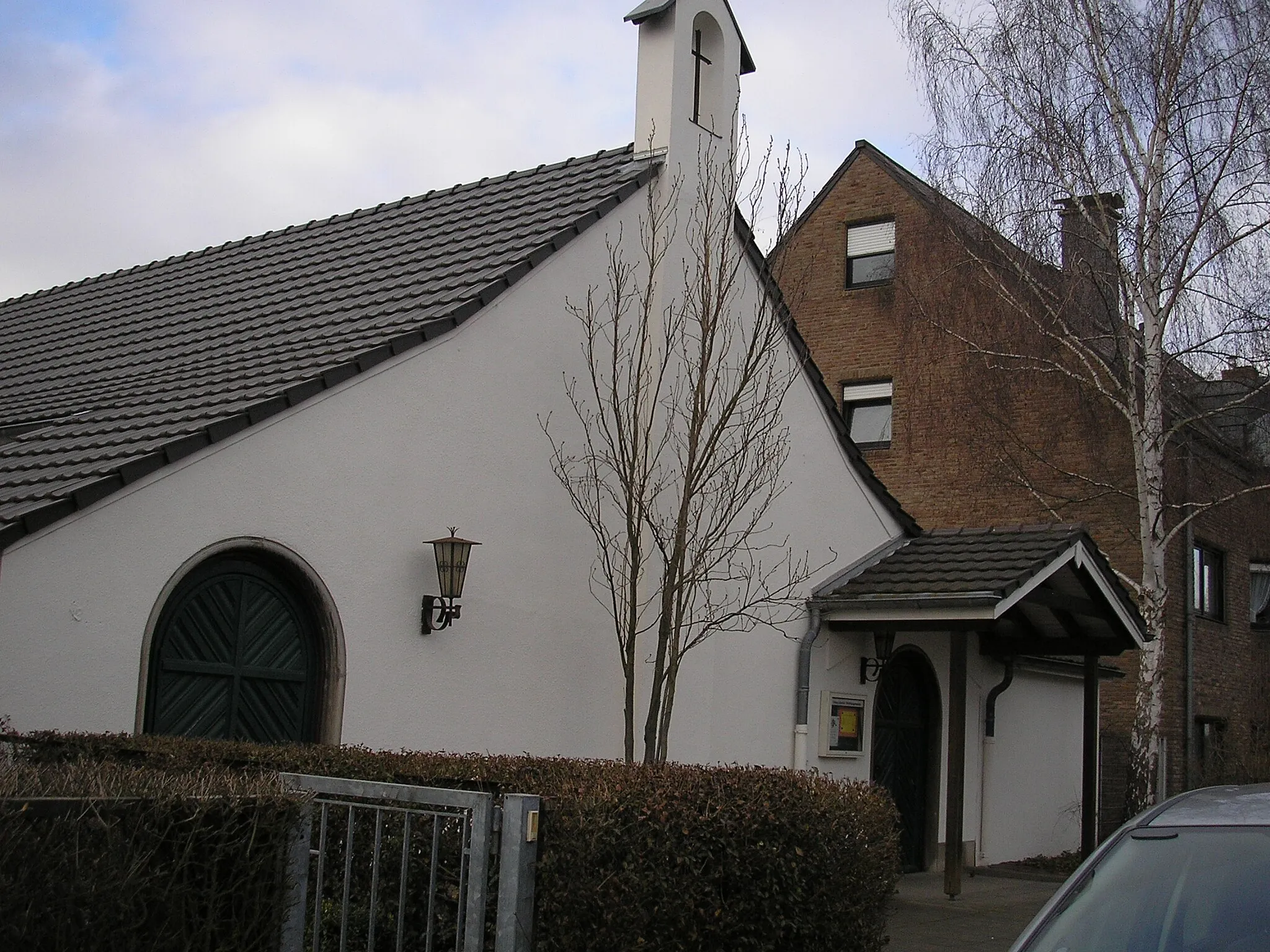
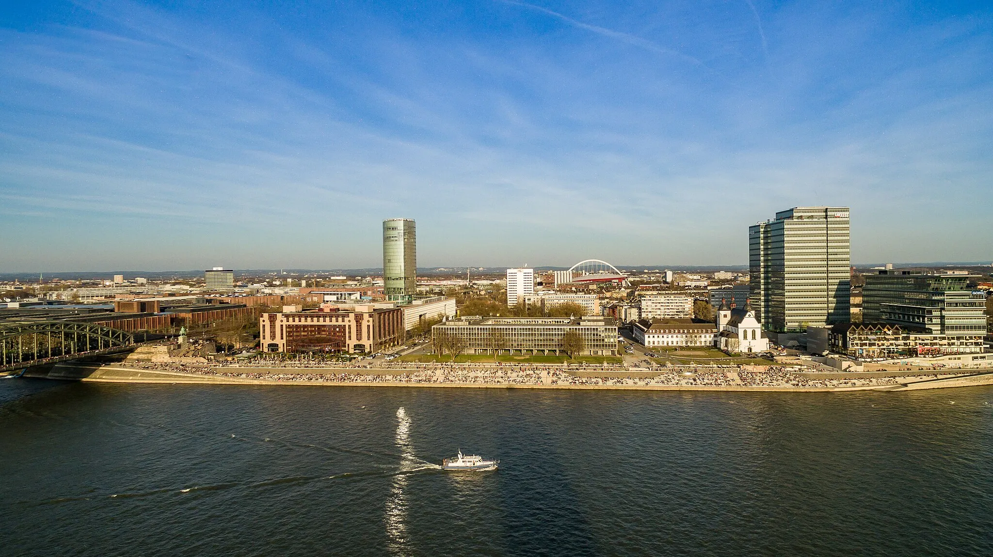
Start: Locality centerBayenthal: Urban and suburban cycling paradise
Bayenthal is a locality in Cologne, Germany. From a cyclist's perspective, Bayenthal offers a mix of urban and suburban cycling routes. There are well-marked bike lanes and paths, making it a safe and accessible area for cyclists. Bayenthal is located near the famous cycling spot of Rheinuferweg, a scenic riverside path perfect for leisurely rides. Overall, Bayenthal provides a convenient and enjoyable cycling experience for both road and gravel cyclists.1 km
1 km
RaderthalSub-urb18 km
18 km
LiblarTownExplore the charming village of Liblar and admire its well-preserved half-timbered houses.
26 km
26 km
LechenichTownDiscover the historic town of Lechenich, rich in architectural and cultural heritage.
38 km
38 km
Wilhelmshöhe155 mPeak ViewpointJourney to Wilhelmshöhe and experience its stunning viewpoints and hidden trails.
48 km
48 km
Dreizehn-Linden-PlatzViewpointPass by Dreizehn-Linden-Platz and be captivated by its serene atmosphere and open green spaces.
54 km
54 km
UlrepforteAttractionVisit Ulrepforte and delve into its remarkable history and enchanting scenery.
56 km
56 km
Finish: Locality centerBayenthal: Urban and suburban cycling paradise
Cycling routes from Bayenthal:
Road Loop through Bayenthal and Beyond Königsdorf Exploration Gravel Adventure to Wilhelmshöhe Gravel Loop Around Bayenthal Bayenthal Loop Explorations Gravel Adventure to Rösrath Scenic Road Journey to Brühl Road Cycling in the Outskirts of Cologne Bayenthal - Köln Round-Trip Cycling Route Southbound Journey to Zollstock
Cycling routes nearby: