Nettersheim Gravel Cycling Route
A gravel cycling route starting from Kall
Explore the beautiful landscapes surrounding Nettersheim on this thrilling gravel cycling route.
Map
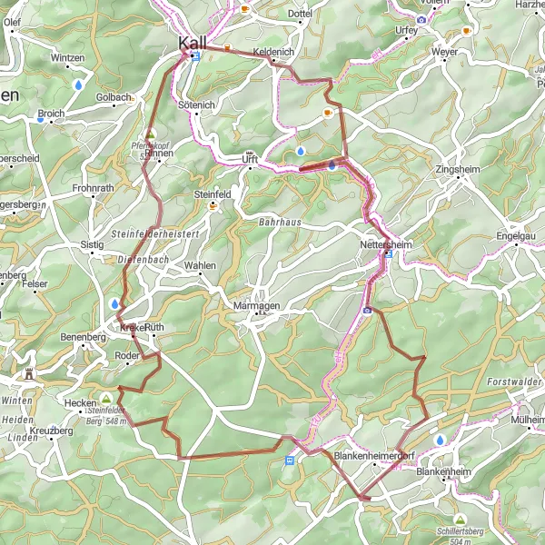
With an ascent of 728 meters and a distance of 45 kilometers, this gravel cycling route offers a challenging and exciting adventure. Explore diverse terrains, including forest tracks and gravel paths, as you wind through the stunning landscapes surrounding Nettersheim. This route is suitable for well-trained amateur cyclists, given its difficulty rating of 2. The epicness factor of this route is 1, providing riders with a more relaxed and enjoyable experience.
gravel
45 km
728 m
Chill
Route profile
Highlights on the route
0 km
0 km
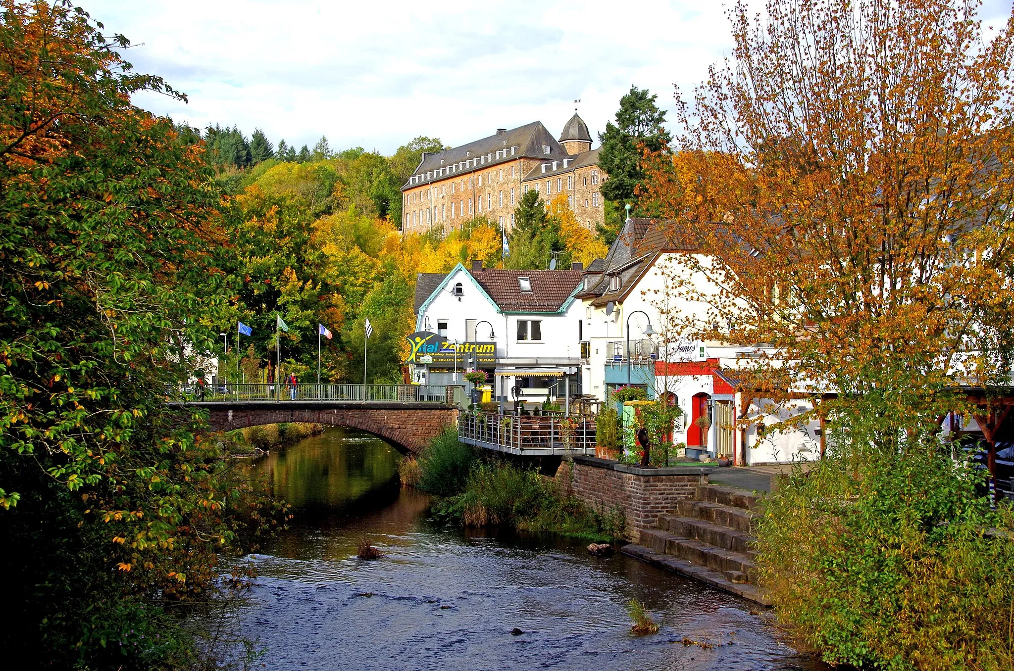
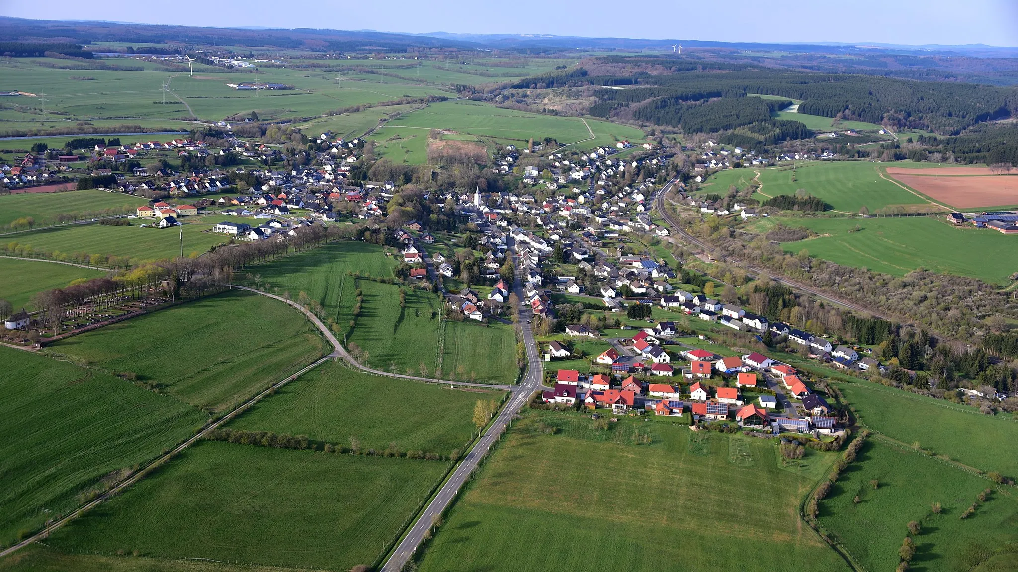
Start: Kall City centerKall: Experience the best of Köln's cycling routes amid the striking landscapes surrounding Kall in Germany.
Kall, located in Köln, Germany, offers an excellent destination for road and gravel cyclists. Nestled amidst the scenic Eifel Nature Park, this locality provides a mix of gentle routes for beginners and thrilling challenges for experienced cyclists. The area showcases breathtaking landscapes, including meandering rivers, lush forests, and captivating hills. Cyclists visiting Kall can conquer iconic climbs such as the famous Nürburg Ring ascent, renowned for its connection to motorsports history. Kall is undoubtedly a great cycling-friendly area, combining natural beauty with exciting rides, receiving a score of 4 out of 5.12 km
12 km
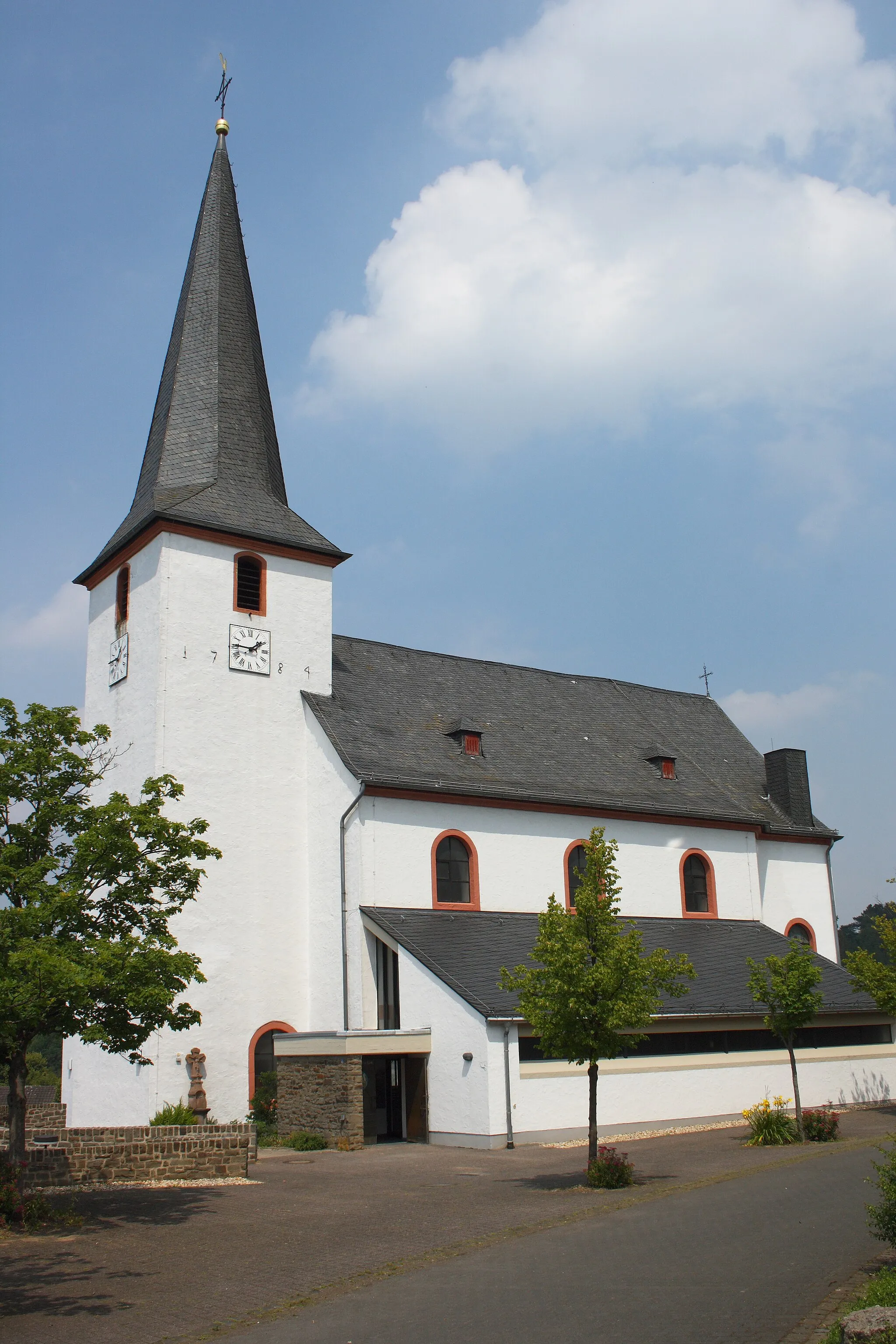
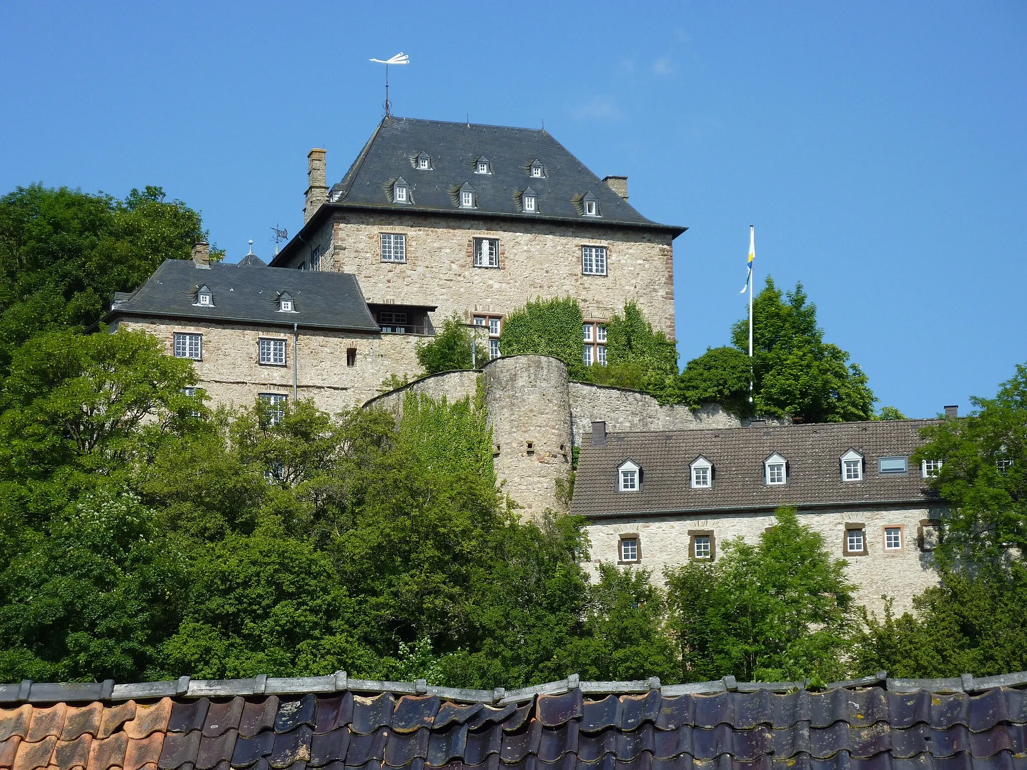
NettersheimVillagePass through Nettersheim, a charming village known for its rich history, traditional buildings, and friendly locals.
13 km
13 km
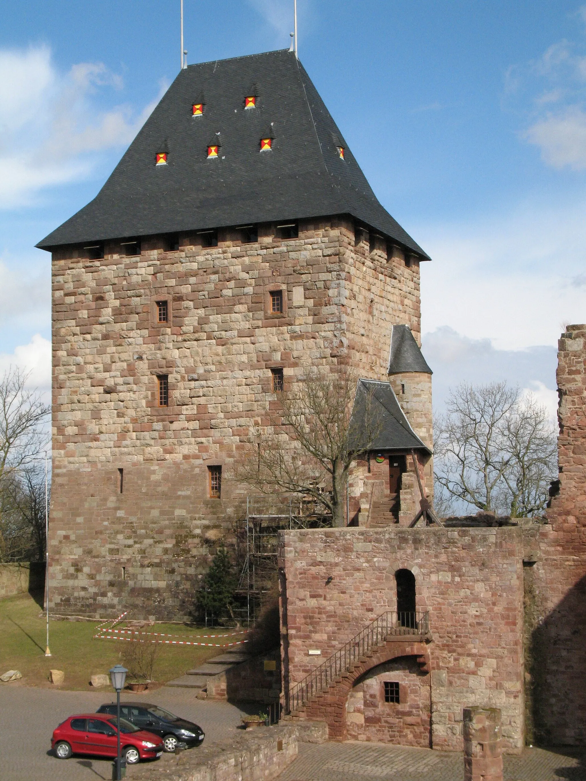
Via AgrippaViewpointExperience the ancient Via Agrippa, a historic road with remnants from Roman times, adding an extra layer of historical interest to your ride.
31 km
31 km
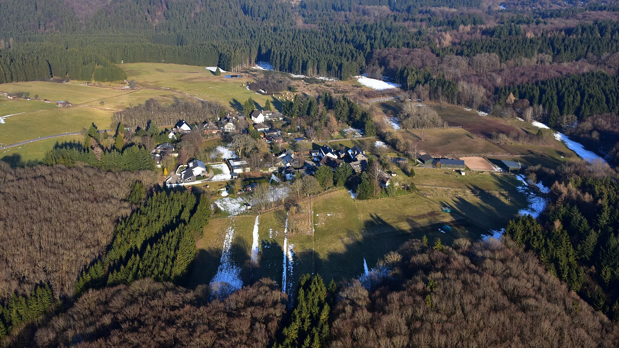
PaulushofHamletStop at Paulushof, a quaint farmstead offering a peaceful and idyllic atmosphere in the heart of nature.
31 km
31 km
Steinfelder Berg548 mPeakConquer the thrilling climb of Steinfelder Berg and enjoy breathtaking views of the surrounding valley from the top.
42 km
42 km
Pferdekopf527 mPeakRide by Pferdekopf, a small hamlet with stunning natural vistas that truly showcase the beauty of the region.
45 km
45 km
KallTownPass through Kall, a tranquil town perfect for a pit stop or a visit to its traditional cafés and restaurants.
45 km
45 km
Finish: Kall City centerKall: Experience the best of Köln's cycling routes amid the striking landscapes surrounding Kall in Germany.
Cycling routes nearby: