Römische Kanalmeisterei Loop
A road cycling route starting from Mechernich
Cycle through historical sites to reach the Römische Kanalmeisterei.
Map
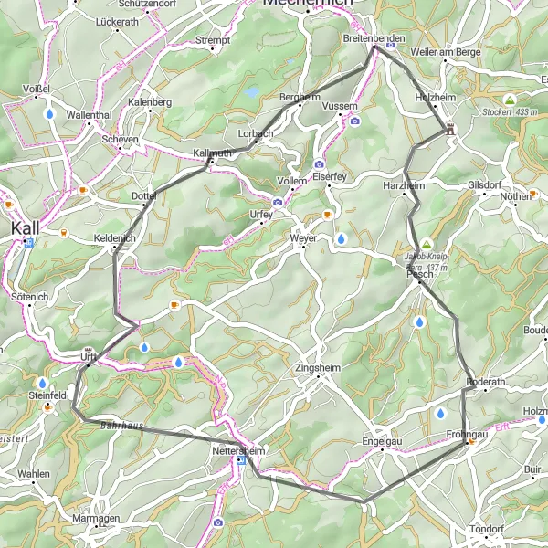
Discover the ancient Roman canal management office on this road cycling route near Mechernich. With a total distance of 38 km and an ascent of 569 m, this route is suitable for well-trained amateurs. Explore highlights such as Halsberg, Nettersheim, and Breitenbenden along the way.
road
38 km
569 m
Tough
Route profile
Highlights on the route
0 km
0 km
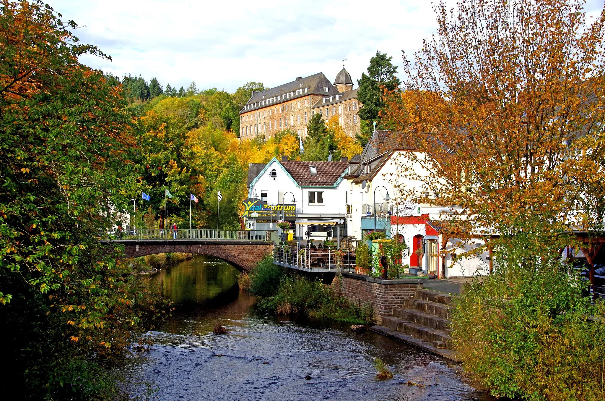
Start: Breitenbenden Village centerMechernich: Cycling paradise in Köln
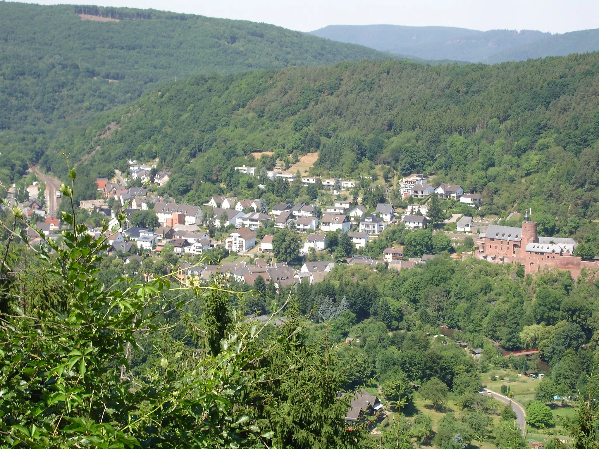
Mechernich is a town located in the Köln region of Germany. It offers a mix of road and gravel cycling routes, making it suitable for both types of cyclists. The surrounding countryside is characterized by rolling hills and picturesque landscapes. Cyclists can enjoy scenic rides through vineyards, forests, and charming villages. One well-known cycling spot in the area is the Eifel National Park, which offers beautiful natural scenery and a variety of cycling routes. Overall, Mechernich is a great destination for cyclists looking to explore the charm of the Köln region.0 km
0 km
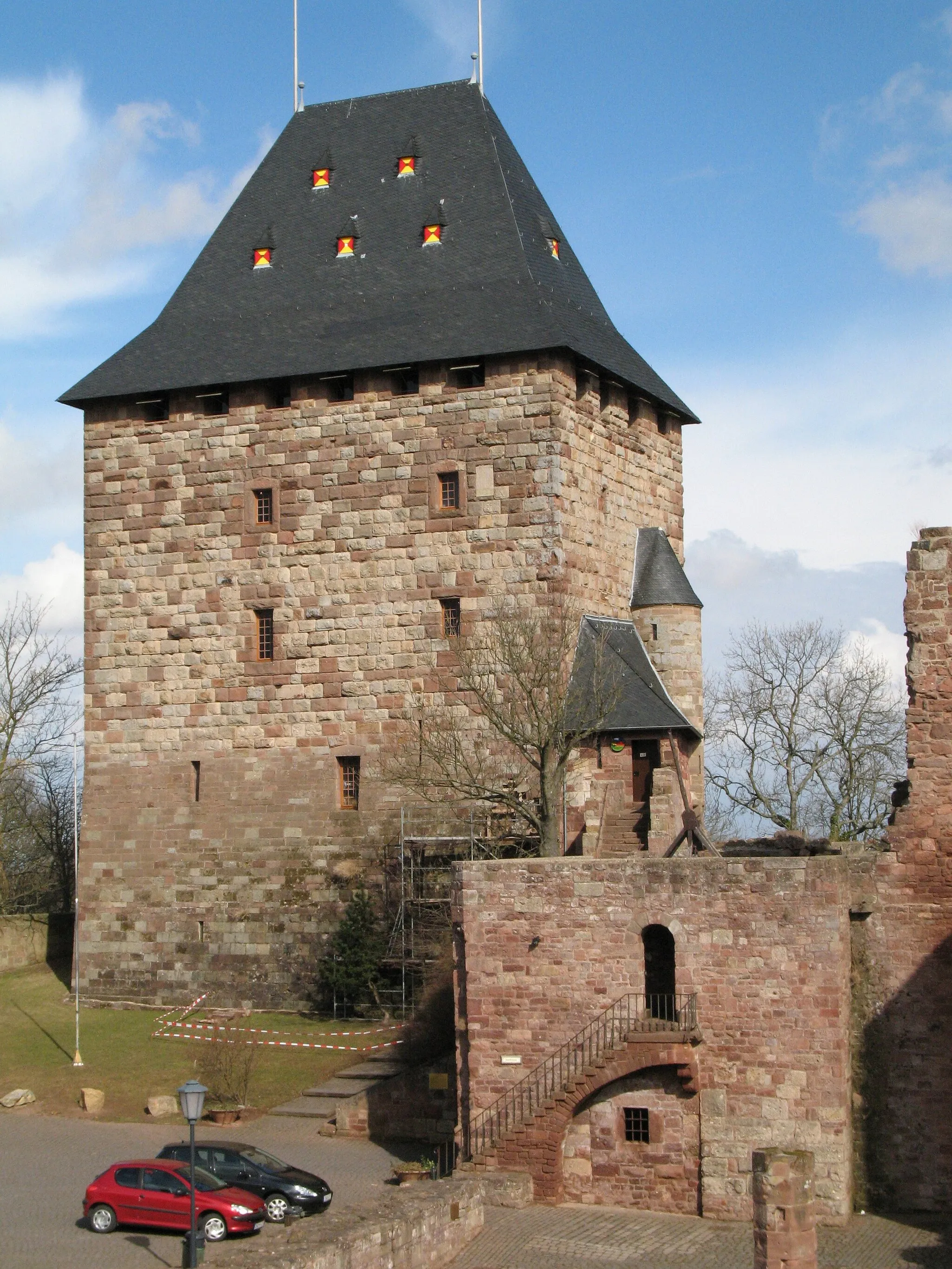
Römische KanalmeistereiAttractionVisit the Römische Kanalmeisterei, the ancient canal management office that dates back to Roman times.
5 km
5 km
Halsberg382 mPeakTake in the stunning views from Halsberg, a popular lookout point along the route.
19 km
19 km
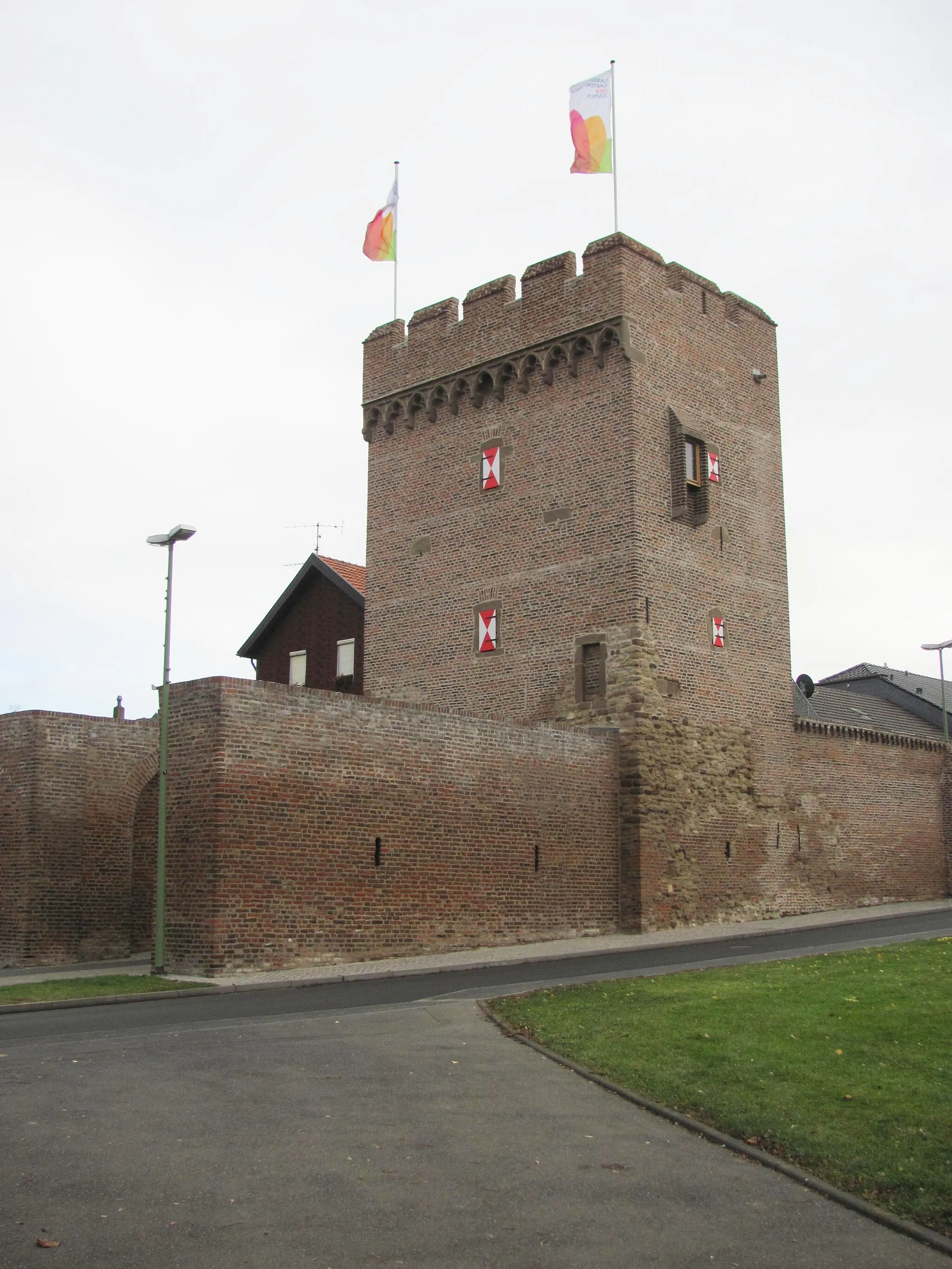
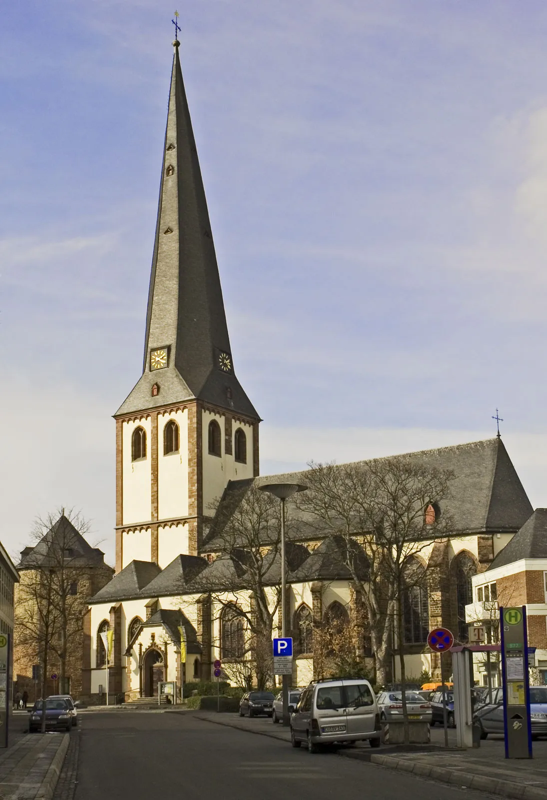
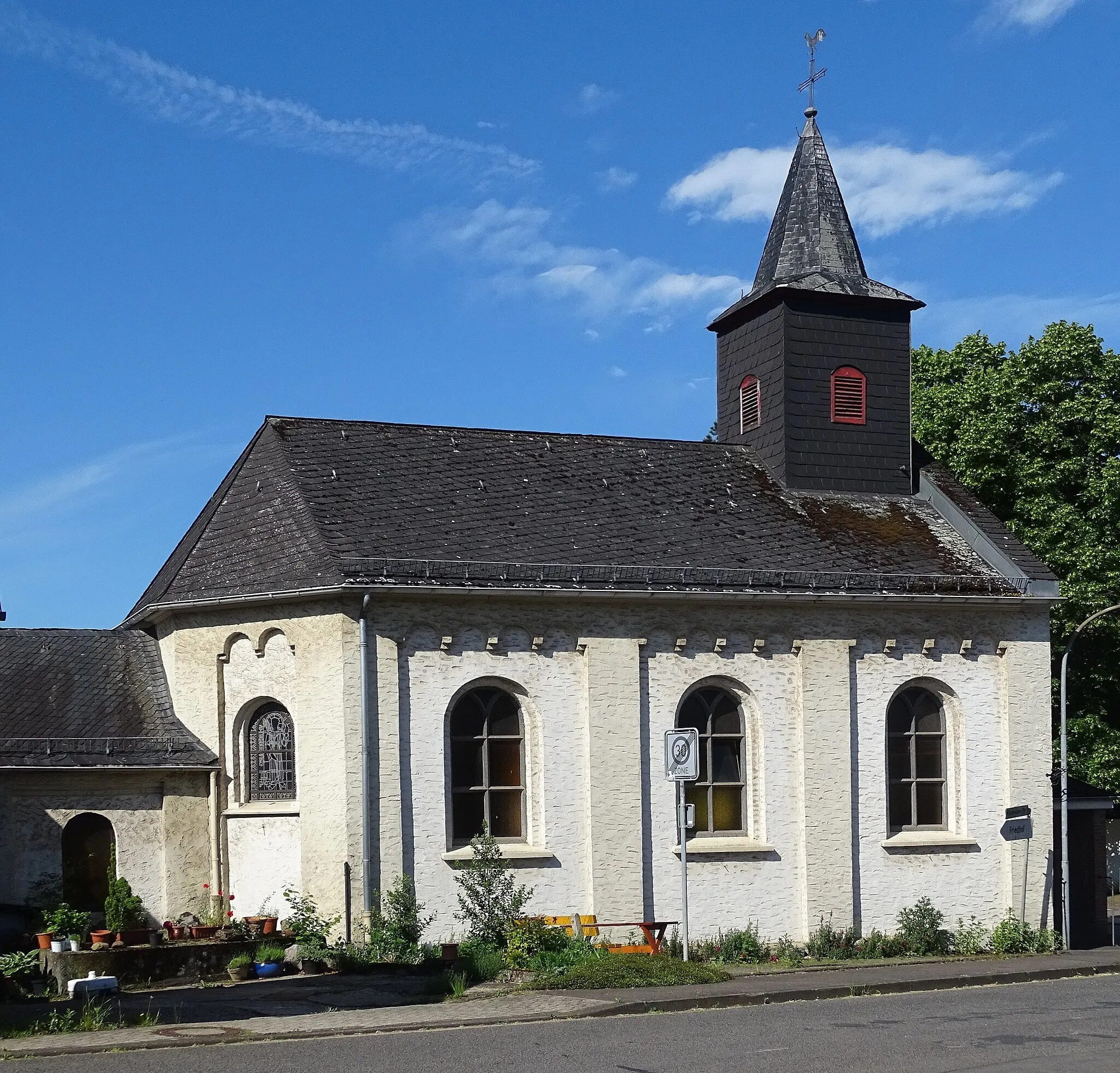
NettersheimVillageExplore the charming town of Nettersheim and its historical buildings.
38 km
38 km
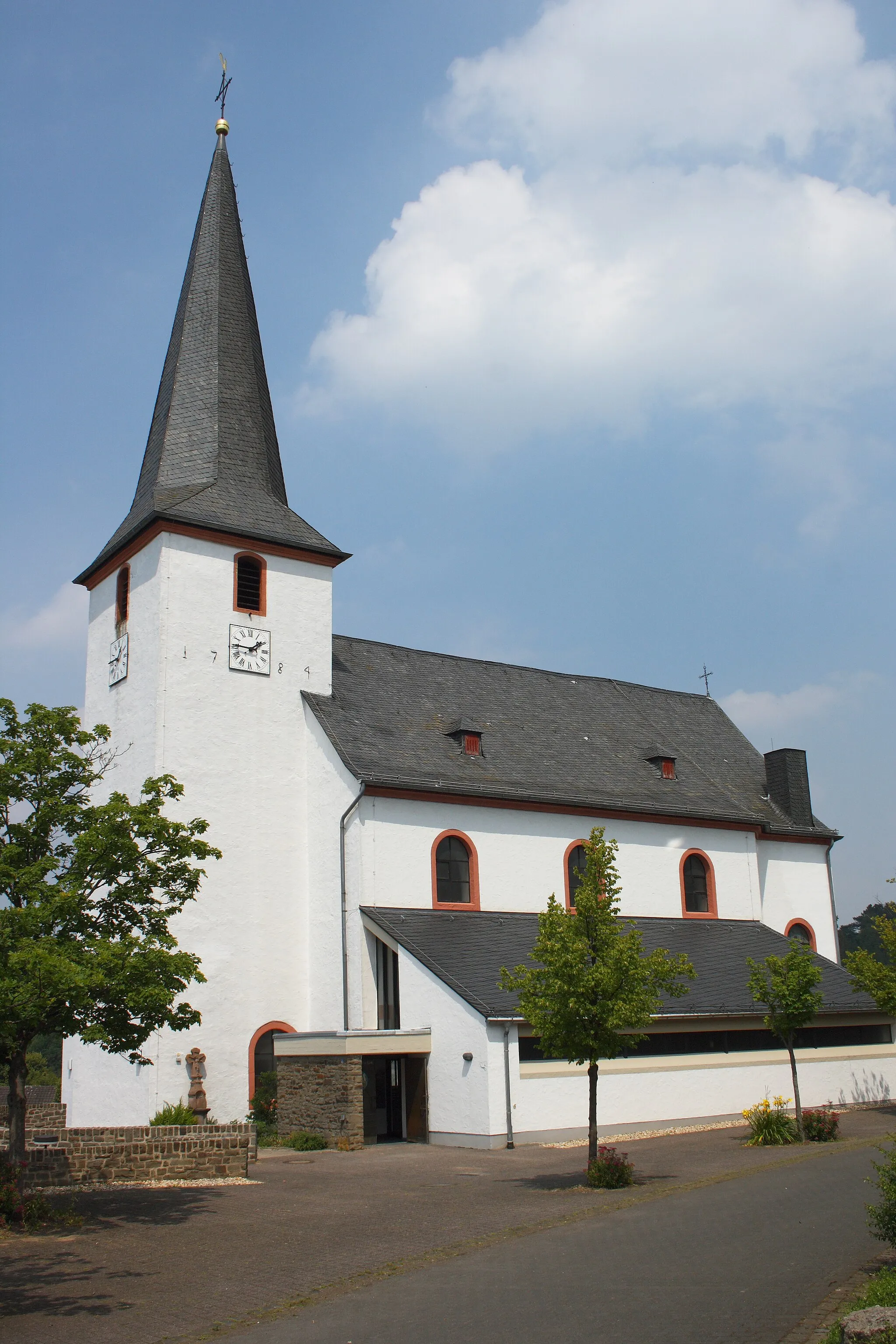
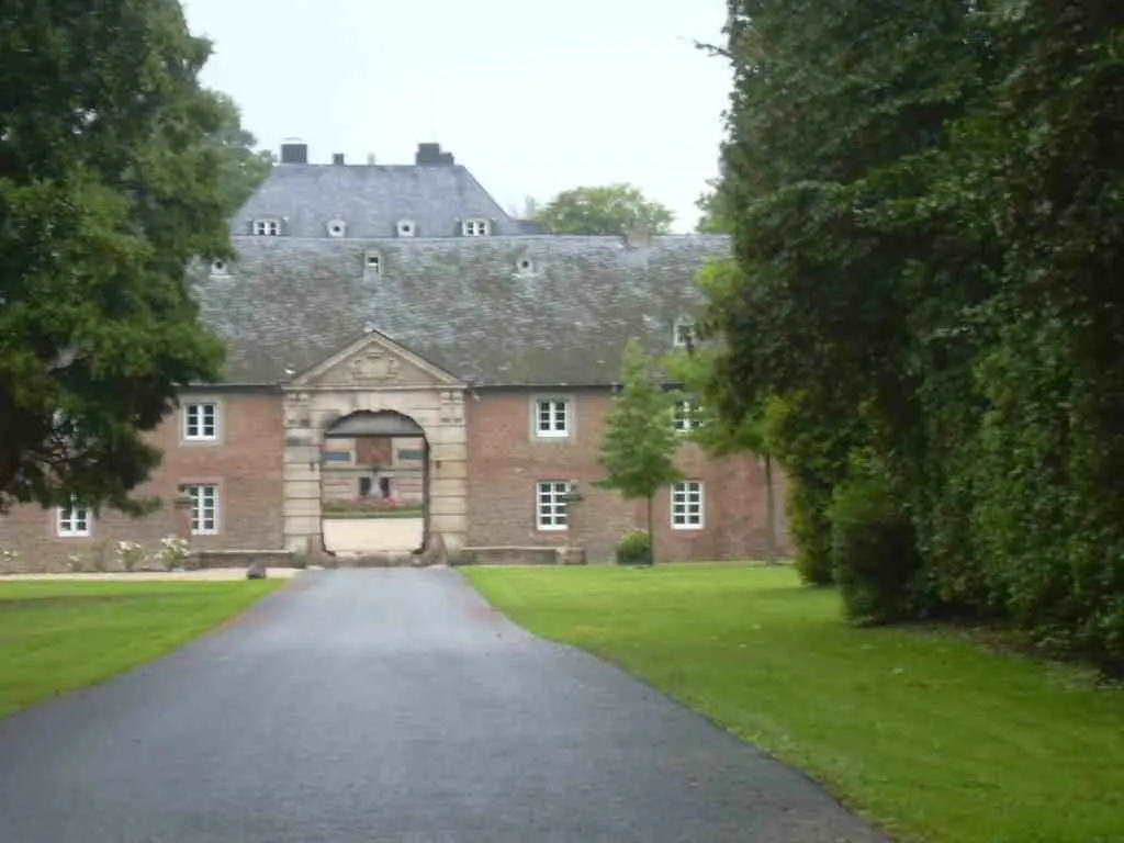
BreitenbendenVillageReach Breitenbenden and enjoy a peaceful stop in this picturesque village.
38 km
38 km
Finish: Breitenbenden Village centerMechernich: Cycling paradise in Köln
Cycling routes nearby: