Much Countryside Road Loop
A road cycling route starting from Much
Discover the picturesque countryside surrounding Much on this road cycling loop
Map
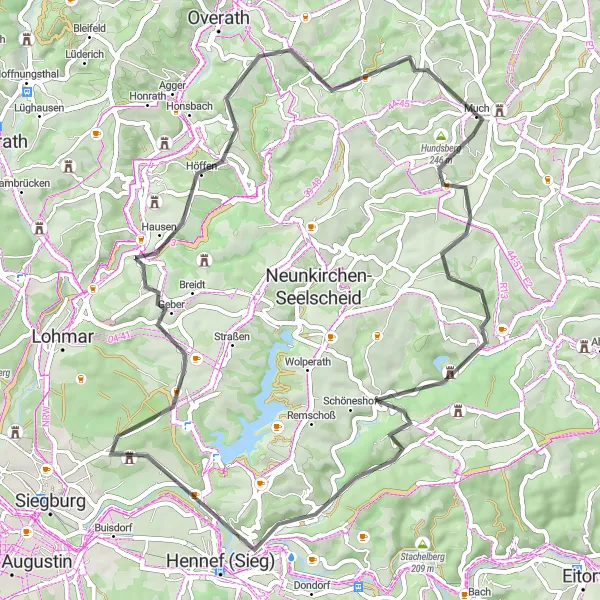
The Much Countryside Road Loop is a picturesque road cycling route that takes you through the idyllic countryside surrounding the town of Much. With an ascent of 843 meters and a distance of 57 kilometers, this route is suitable for cyclists of all levels. Immerse yourself in the tranquility of the rural landscapes as you pedal along charming country roads lined with green fields and traditional farmhouses. One of the highlights of this route is the Burg Herrnstein, a historic castle that dates back to the 14th century. Take a moment to admire the castle's impressive architecture and enjoy the peaceful atmosphere of its surroundings.
road
57 km
843 m
Chill
Route profile
Highlights on the route
0 km
0 km
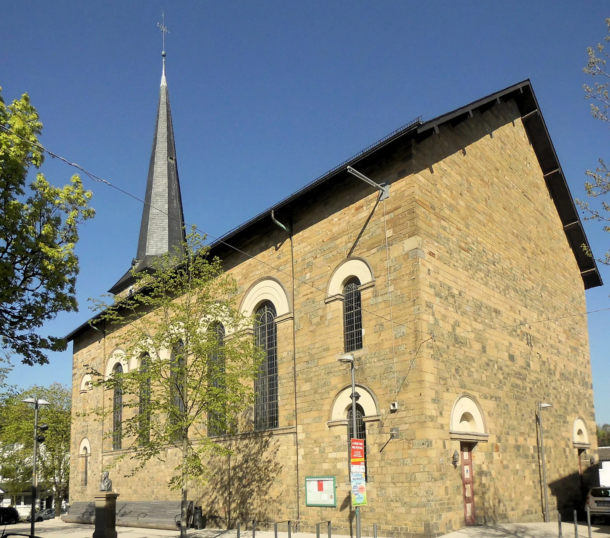
Start: Much Village centerMuch: Idyllic cycling haven in Köln.
Much is a charming town in Köln, Germany. The locality offers excellent cycling routes for both road and gravel cyclists. There are plenty of countryside roads and trails to explore, surrounded by beautiful landscapes. One of the well-known cycling spots in Much is the Windecker Ländchen, which features rolling hills and scenic vistas. Cyclists can also visit the nearby Agger Valley, offering peaceful cycling paths along the river. With its peaceful atmosphere and diverse cycling routes, Much is a cyclist's paradise in Köln.1 km
1 km
Hundsberg246 mPeakHundsberg is a scenic viewpoint that offers sweeping views of the surrounding countryside. Pause to take in the beauty of nature and appreciate the gentle rhythm of rural life.
12 km
12 km
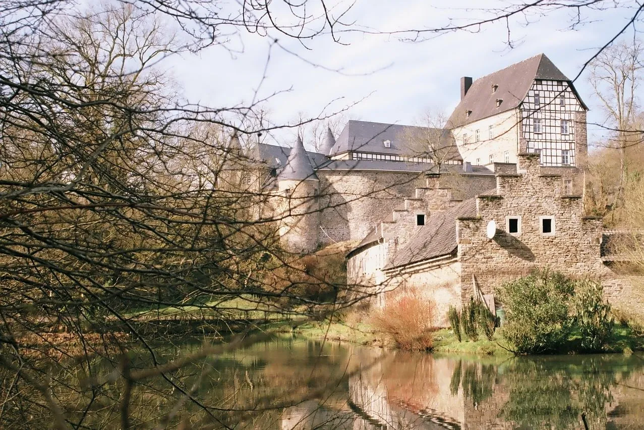
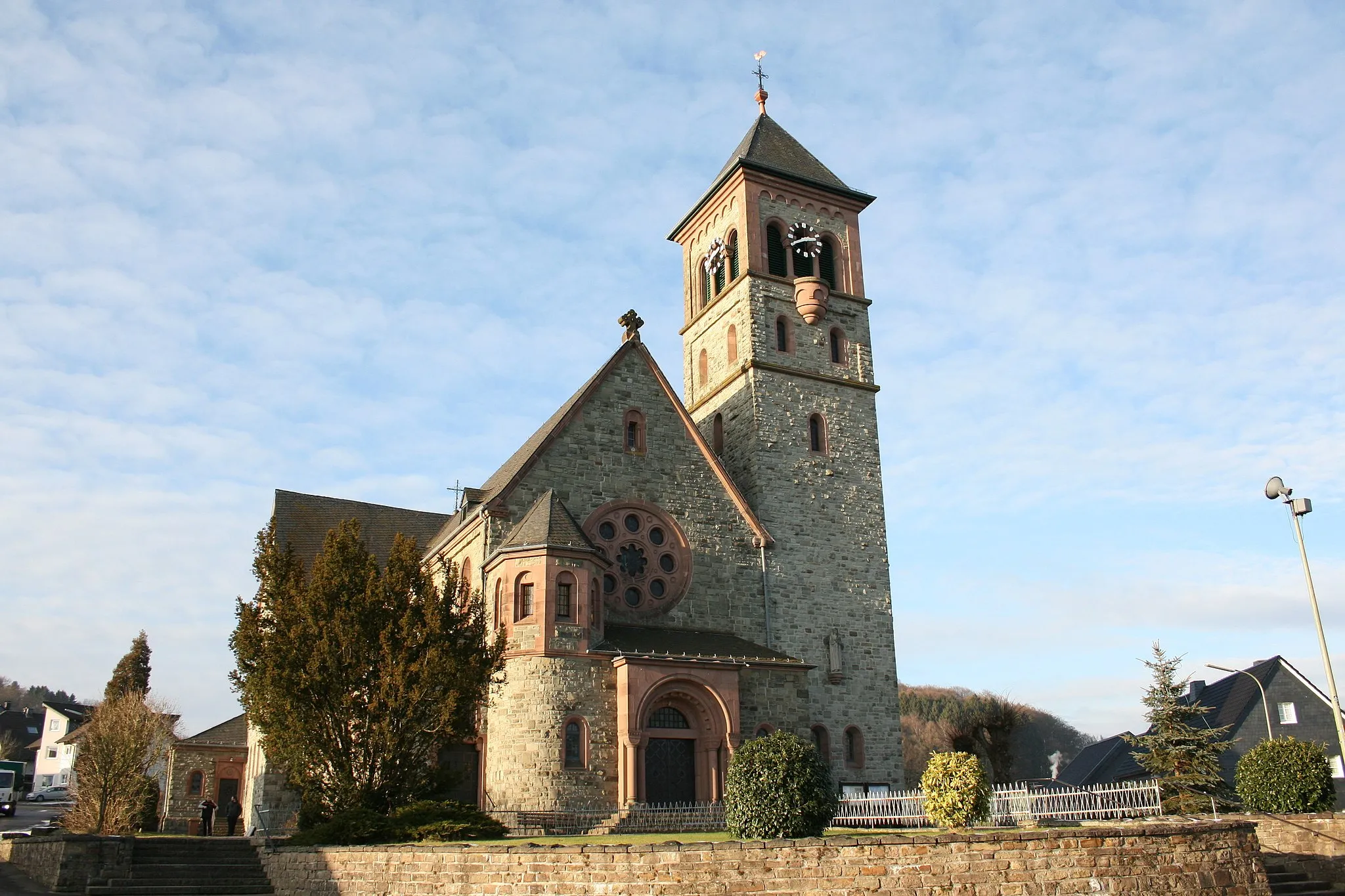
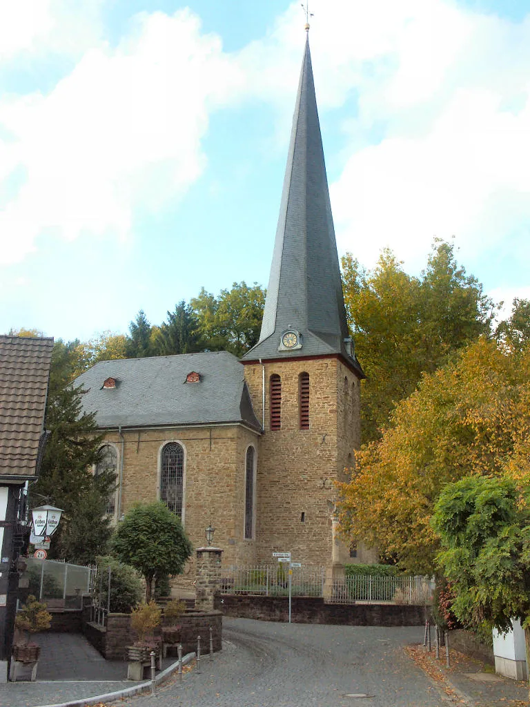
Burg HerrnsteinCastleBurg Herrnstein is a historic castle that provides a glimpse into the region's rich heritage. Explore its ancient walls and picture-perfect courtyards before continuing your cycling journey.
23 km
23 km
Giersberg175 mPeakGiersberg is a renowned cycling spot offering scenic vistas of the rolling hills and green landscapes. Enjoy a stunning panorama as you tackle this exhilarating climb.
24 km
24 km
Schloß AllnerCastleSchloß Allner is a majestic castle situated on a hilltop, providing commanding views of the surroundings. Revel in the sense of history and bask in the beauty of this architectural gem.
44 km
44 km
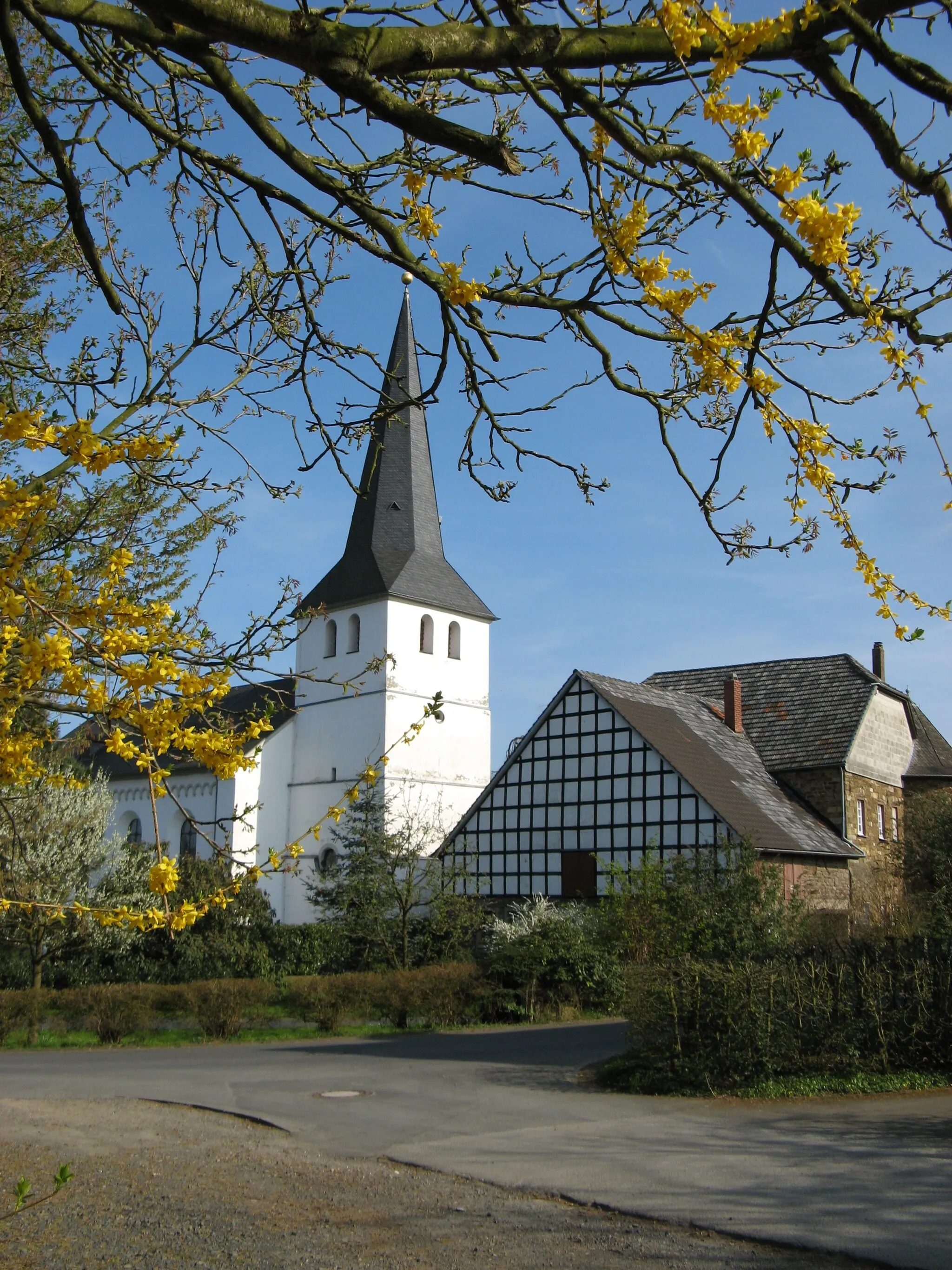
HöffenVillageHöffen is a picturesque village nestled amidst the picturesque countryside. Pedal through its streets and admire the traditional architecture and vibrant flowers lining the paths.
46 km
46 km
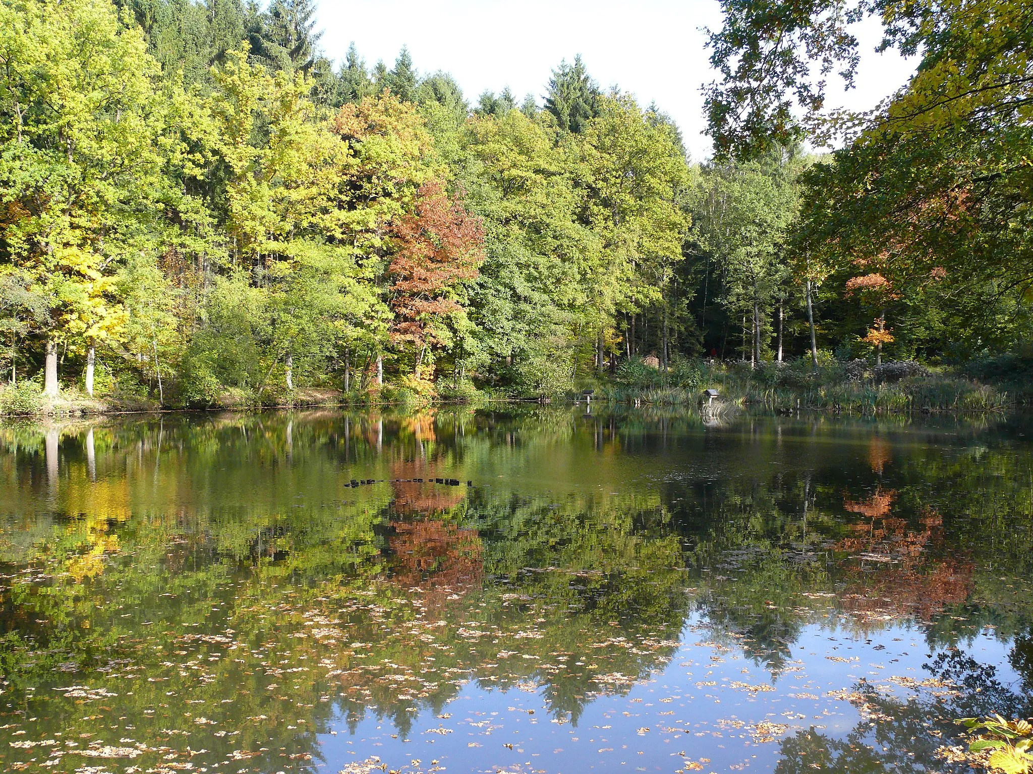
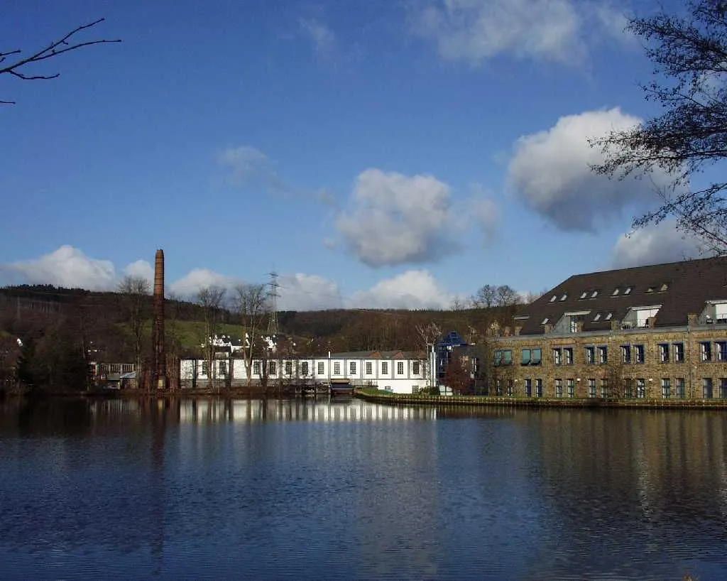
AggertalViewpointAggertal is a beautiful valley renowned for its lush greenery and meandering river. Embrace the tranquility of the surroundings as you cycle alongside the gently flowing waters.
54 km
54 km
Hohnsberg301 mPeakHohnsberg offers panoramic vistas of the rolling hills and expansive landscapes. Take a moment to soak in the beauty of nature and savor the serene atmosphere.
57 km
57 km
MuchVillageLocated in the town of Much, this is where the route concludes. After a satisfying ride, relax and indulge in the charm and hospitality of the town, surrounded by natural beauty.
57 km
57 km
Finish: Much Village centerMuch: Idyllic cycling haven in Köln.
Cycling routes from Much:
Aggertal Gravel Loop Siebengebirge Road Adventure Overath Gravel Adventure Rural Hounds Hill Gravel Ride Much Countryside Road Loop Seelscheid Circular Gravel Route Scenic Road Trip to Meinerzhagen Enjoy the Gravel Trails Around Much Challenging Road Cycling Route to Siebelsberg Climbing Challenge Through Halver and Much Hills and Castles
Cycling routes nearby: