Climbing Challenge Through Halver and Much
A road cycling route starting from Much
A challenging climbing route with diverse landscapes
Map
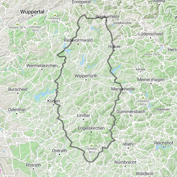
Conquer this demanding road cycling route through Halver and Much. Covering a distance of 124 kilometers with an ascent of 2240 meters, this route is only recommended for experienced cyclists. Experience breathtaking landscapes and challenge yourself with several climbs. Highlights include Hohnsberg, Landwehr, Wiesenberg, Kürten, Forsten, Westenberg, Breckerfeld, Halver, Kahlenberg, Rodt, Lobscheider Berg, and Much.
road
124 km
2240 m
Savage
Route profile
Highlights on the route
0 km
0 km
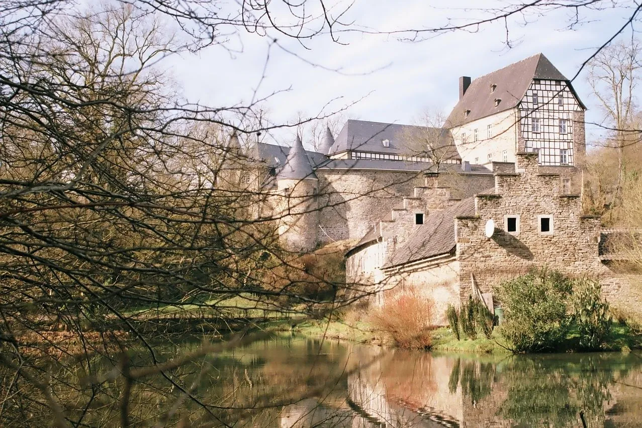
Start: Much Village centerMuch: Idyllic cycling haven in Köln.
Much is a charming town in Köln, Germany. The locality offers excellent cycling routes for both road and gravel cyclists. There are plenty of countryside roads and trails to explore, surrounded by beautiful landscapes. One of the well-known cycling spots in Much is the Windecker Ländchen, which features rolling hills and scenic vistas. Cyclists can also visit the nearby Agger Valley, offering peaceful cycling paths along the river. With its peaceful atmosphere and diverse cycling routes, Much is a cyclist's paradise in Köln.3 km
3 km
Hohnsberg301 mPeakScale the challenging slopes of Hohnsberg, a hill known for its demanding climb and rewarding views.
6 km
6 km
LandwehrHamletRide through Landwehr, an area characterized by rolling hills and scenic beauty.
20 km
20 km
Wiesenberg238 mPeakConquer the steep ascent towards Wiesenberg and enjoy panoramic views from the top.
25 km
25 km
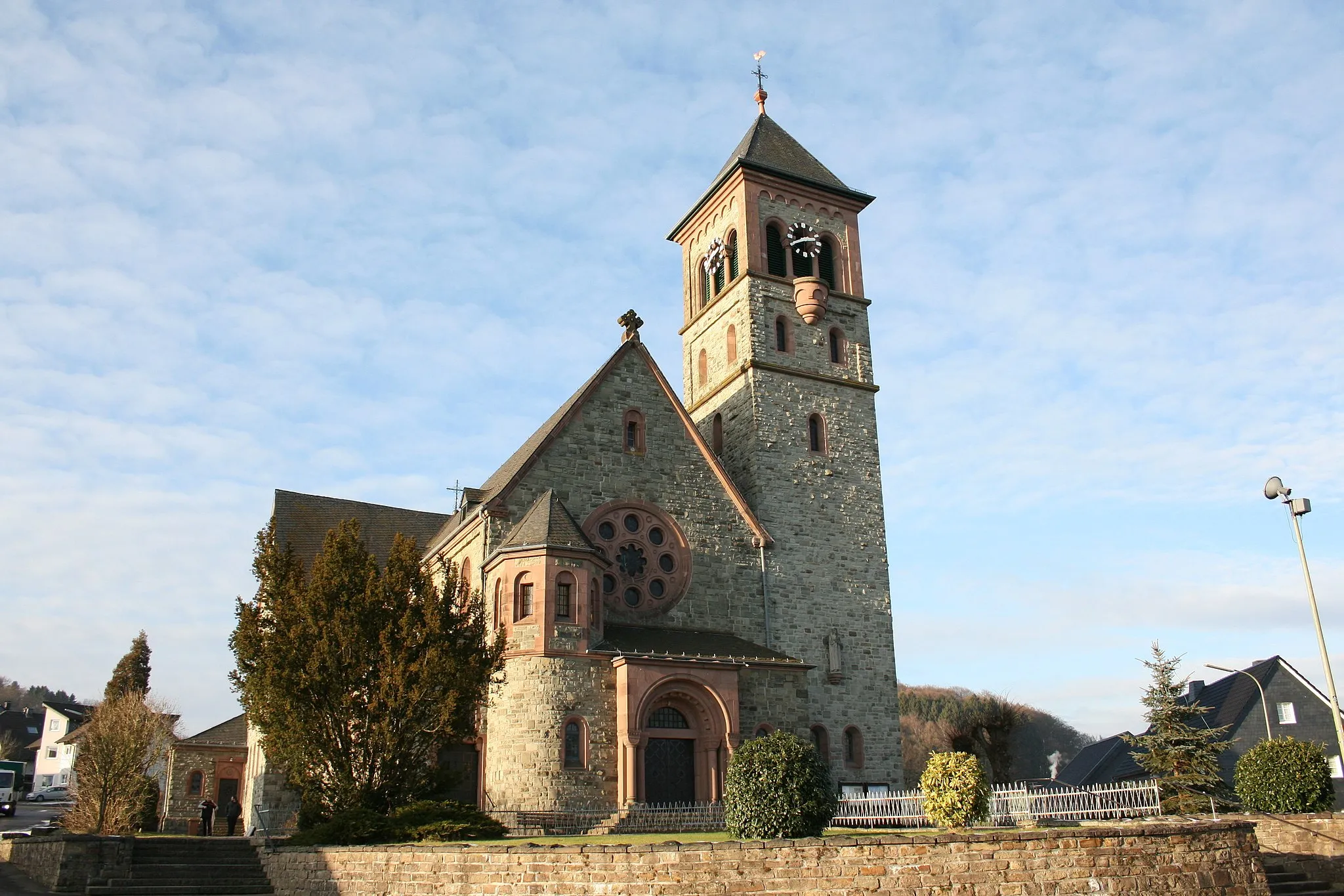
KürtenTownPass through Kürten, a picturesque town with beautiful half-timbered houses and tranquil surroundings.
43 km
43 km
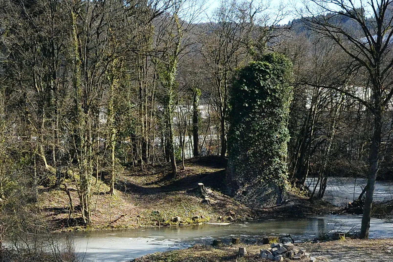
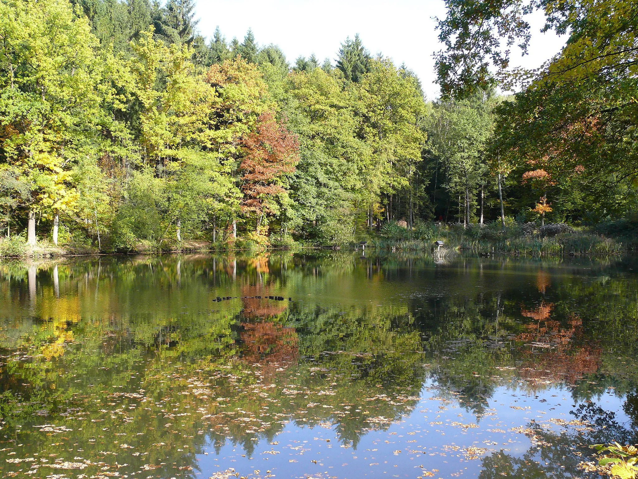
ForstenHamletExplore Forsten, an enchanting forest area known for its diverse flora and fauna.
63 km
63 km
Westenberg341 mPeakEnjoy the stunning views from Westenberg, a viewpoint that overlooks the surrounding countryside.
68 km
68 km
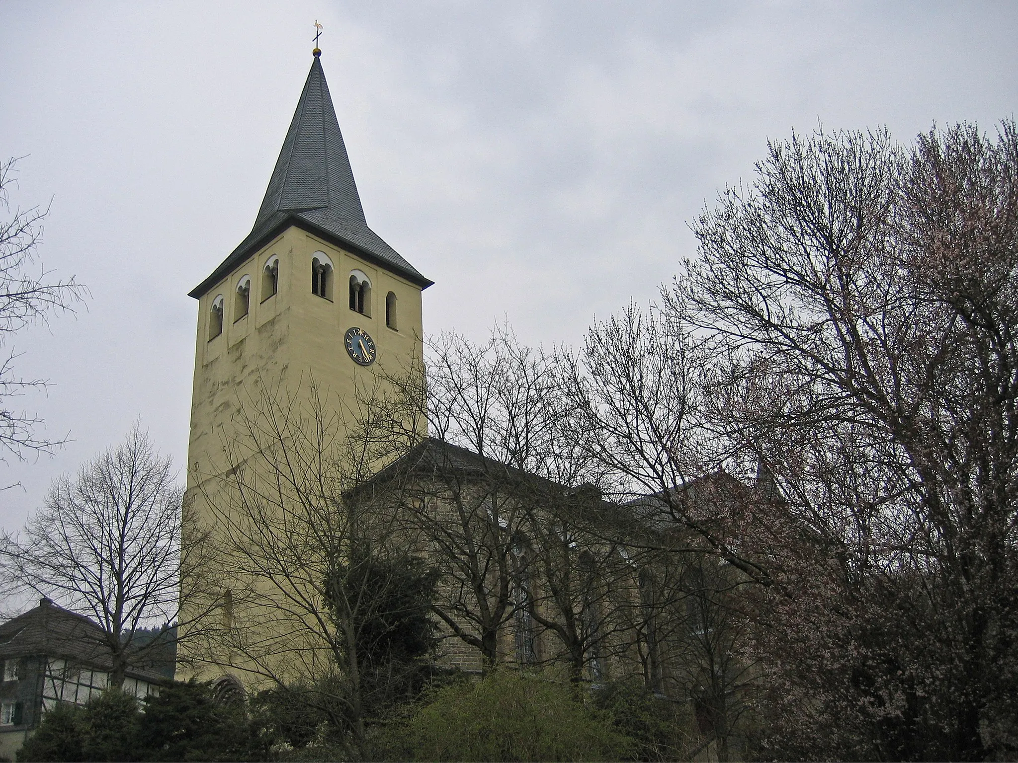
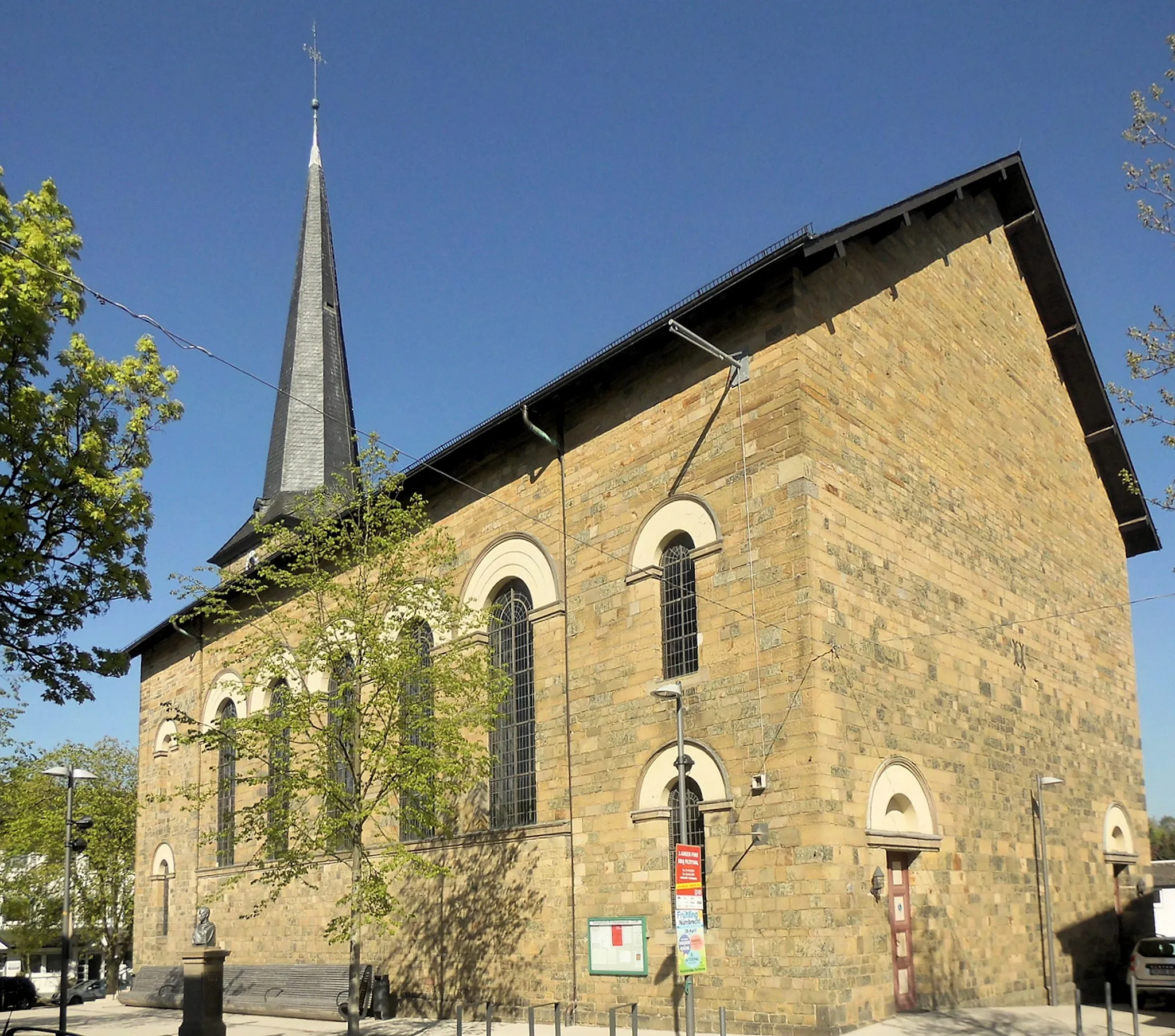
BreckerfeldTownVisit the peaceful town of Breckerfeld, known for its historic buildings and charming ambiance.
77 km
77 km
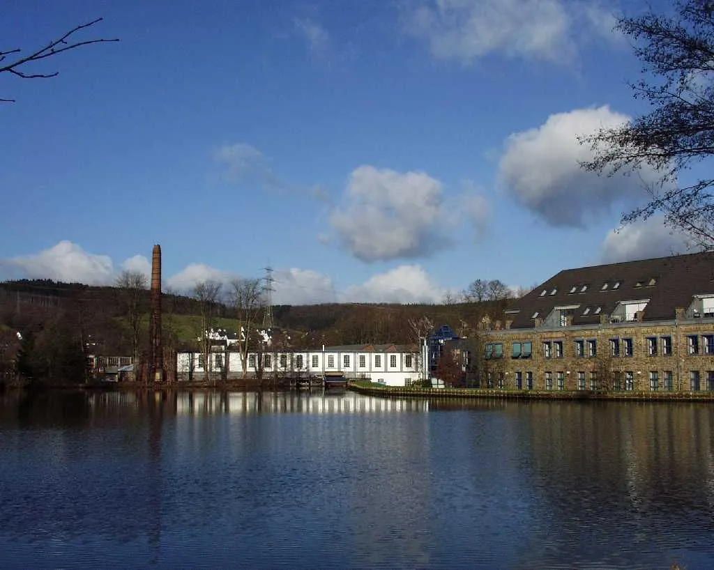
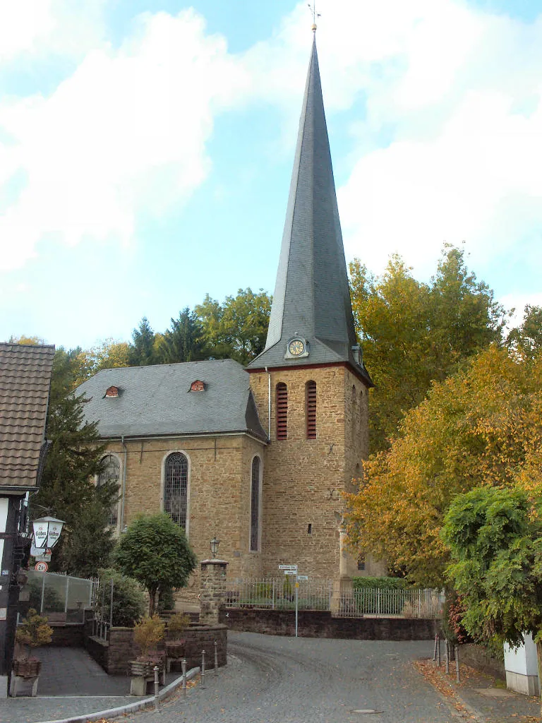
HalverTownPass through Halver, a vibrant town with a rich industrial history and an interesting mix of architectural styles.
93 km
93 km
Kahlenberg374 mPeakConquer the challenging climb up Kahlenberg, a mountain that rewards cyclists with epic views from its peak.
102 km
102 km
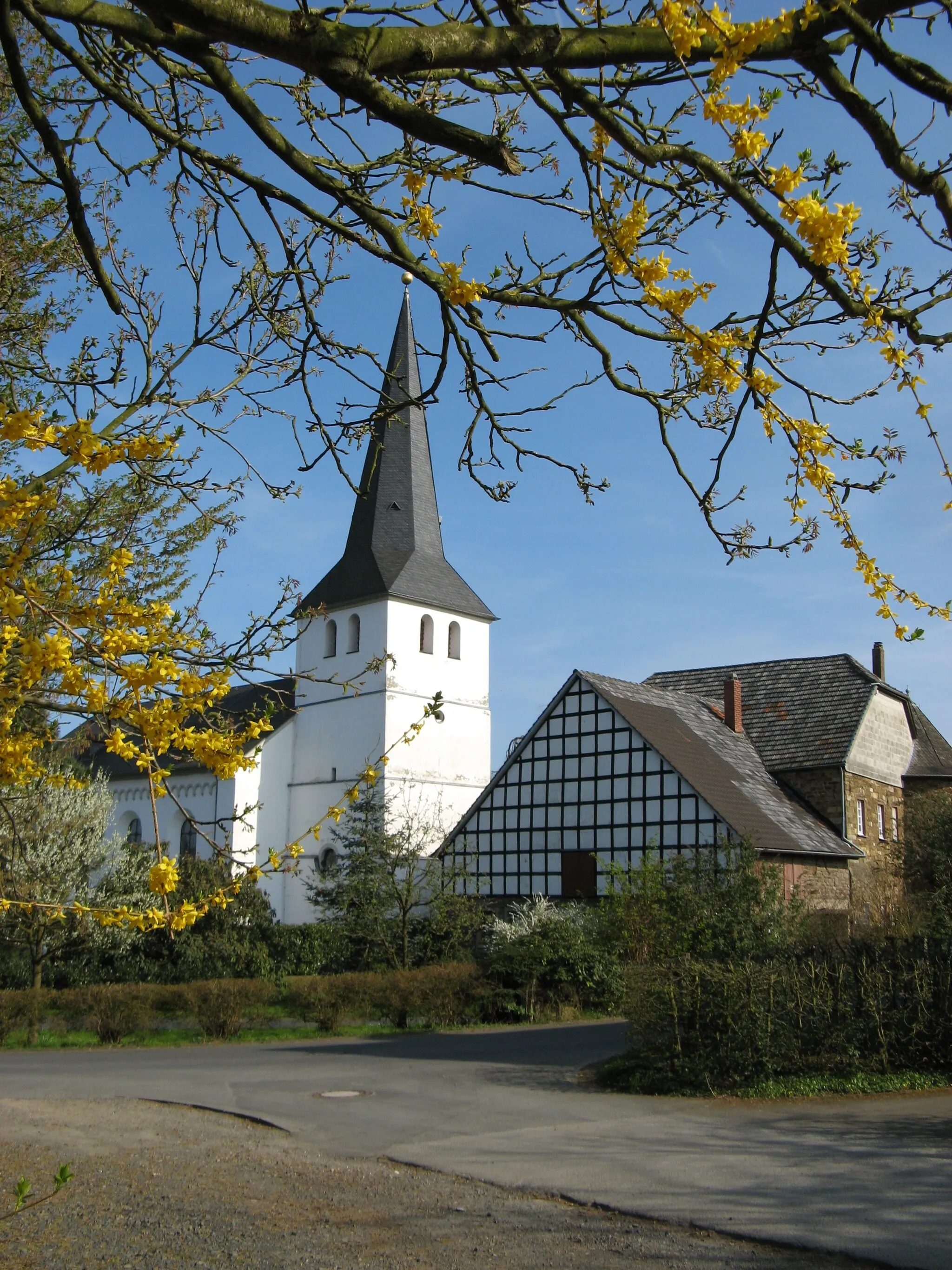
RodtVillageRide through Rodt and enjoy the picturesque landscapes along this scenic stretch of road.
104 km
104 km
Lobscheider Berg303 mPeakChallenge yourself with the demanding ascent of Lobscheider Berg, a legendary climb in the region.
124 km
124 km
MuchVillageFinish your epic cycling journey in Much, a picturesque town renowned for its beautiful trails and cycling routes.
124 km
124 km
Finish: Much Village centerMuch: Idyllic cycling haven in Köln.
Cycling routes from Much:
Aggertal Gravel Loop Siebengebirge Road Adventure Overath Gravel Adventure Rural Hounds Hill Gravel Ride Much Countryside Road Loop Seelscheid Circular Gravel Route Scenic Road Trip to Meinerzhagen Enjoy the Gravel Trails Around Much Challenging Road Cycling Route to Siebelsberg Climbing Challenge Through Halver and Much Hills and Castles
Cycling routes nearby: