Discover the Stockert Region on Gravel
A gravel cycling route starting from Nettersheim
Embark on a gravel adventure and discover the scenic Stockert region.
Map
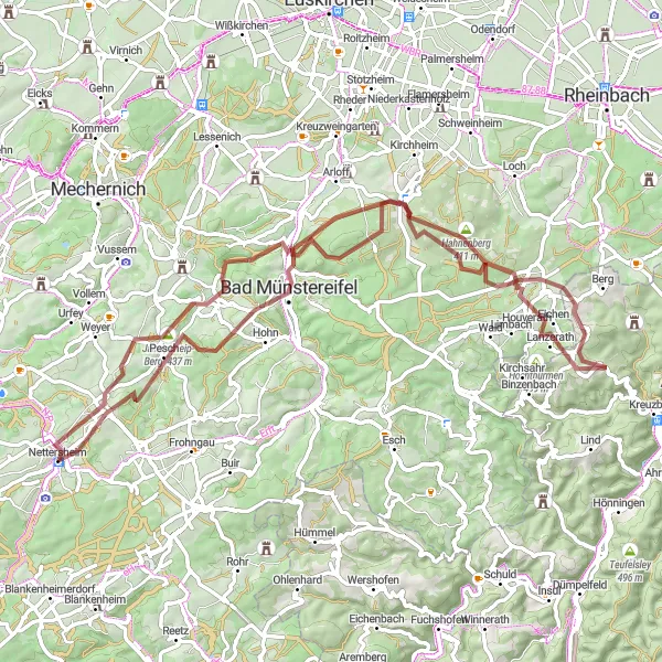
This 75 km gravel cycling route takes you through the scenic Stockert region, known for its captivating landscapes and cultural heritage. With an ascent of 1230 meters, it offers a moderate challenge to cyclists. Highlights along the route include the iconic Nettersheim, a charming town with natural beauty and rich history. Cyclists will also have the opportunity to explore the historic Steinbüchel and the picturesque village of Houverath. The route passes by Maulbach, a tranquil spot surrounded by nature, and Radioteleskop Stockert, a renowned radio telescope that attracts visitors from around the world.
gravel
75 km
1230 m
Tough
Route profile
Highlights on the route
0 km
0 km
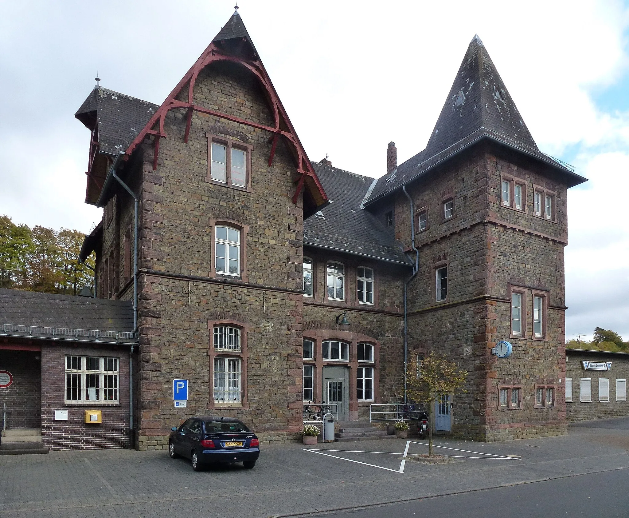
Start: Nettersheim Village centerNettersheim: Cycling and adventure in Köln
Nettersheim is a town located in the Köln region of Germany. It offers a mix of road and gravel cycling routes, suitable for both types of cyclists. The surrounding countryside is characterized by rolling hills and picturesque landscapes. Cyclists can enjoy scenic rides through vineyards, forests, and charming villages. One well-known cycling spot in the area is the Hochseilgarten Nettersheim, which offers an adventurous cycling experience through a treetop ropes course. Nettersheim is a great destination for cyclists looking to enjoy outdoor adventures in the Köln region.0 km
0 km
NettersheimVillageNettersheim, the starting point of this route, is a charming town known for its natural beauty and cultural heritage.
11 km
11 km
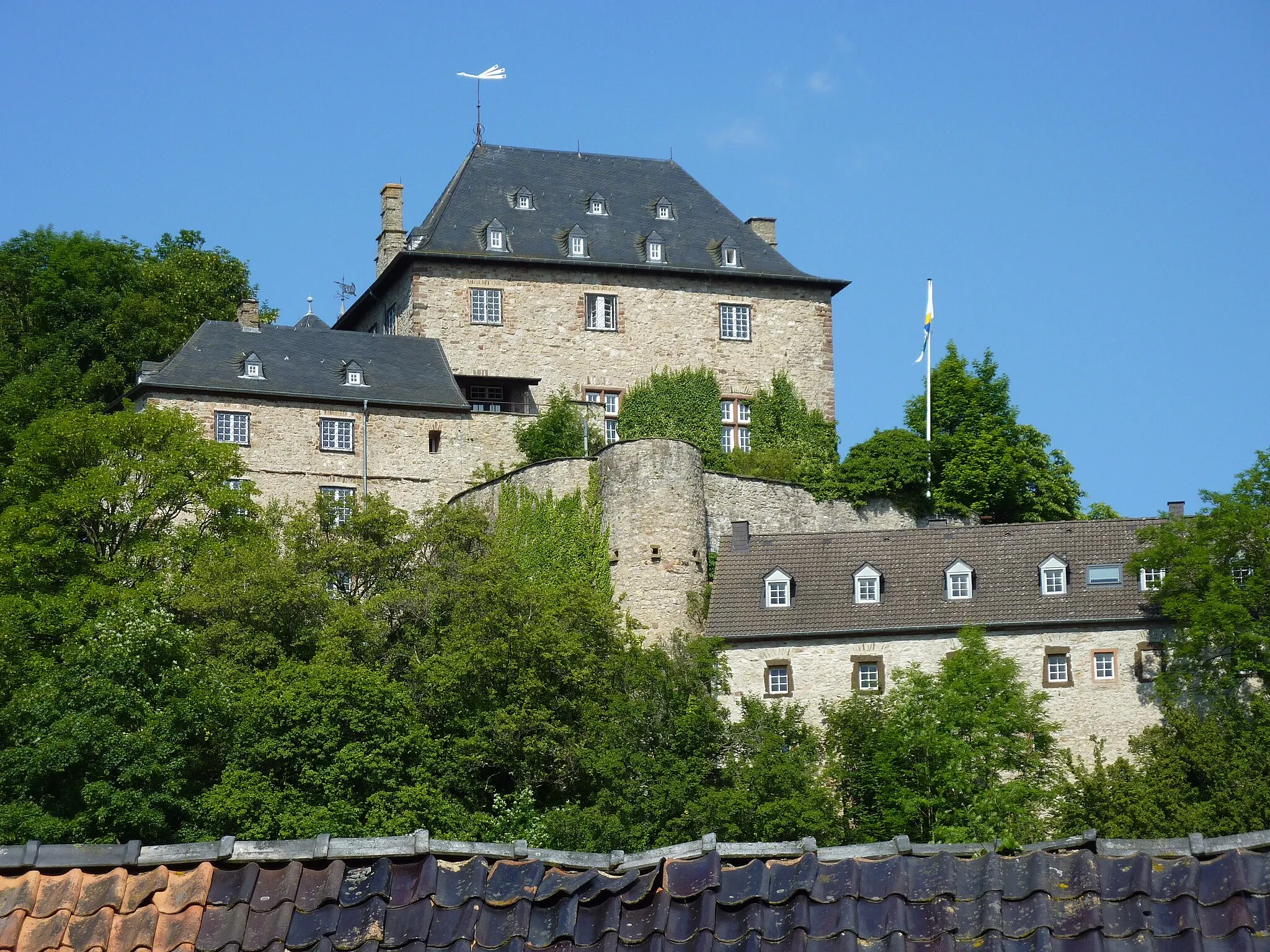
Steinbüchel456 mPeakSteinbüchel, located at 11 km from the start, is a historic village with traditional half-timbered houses and a serene atmosphere.
24 km
24 km
Silberberg363 mPeakSilberberg is a small hill at approximately 24 km from the start. While not a significant highlight, it offers pleasant views of the surrounding area.
30 km
30 km
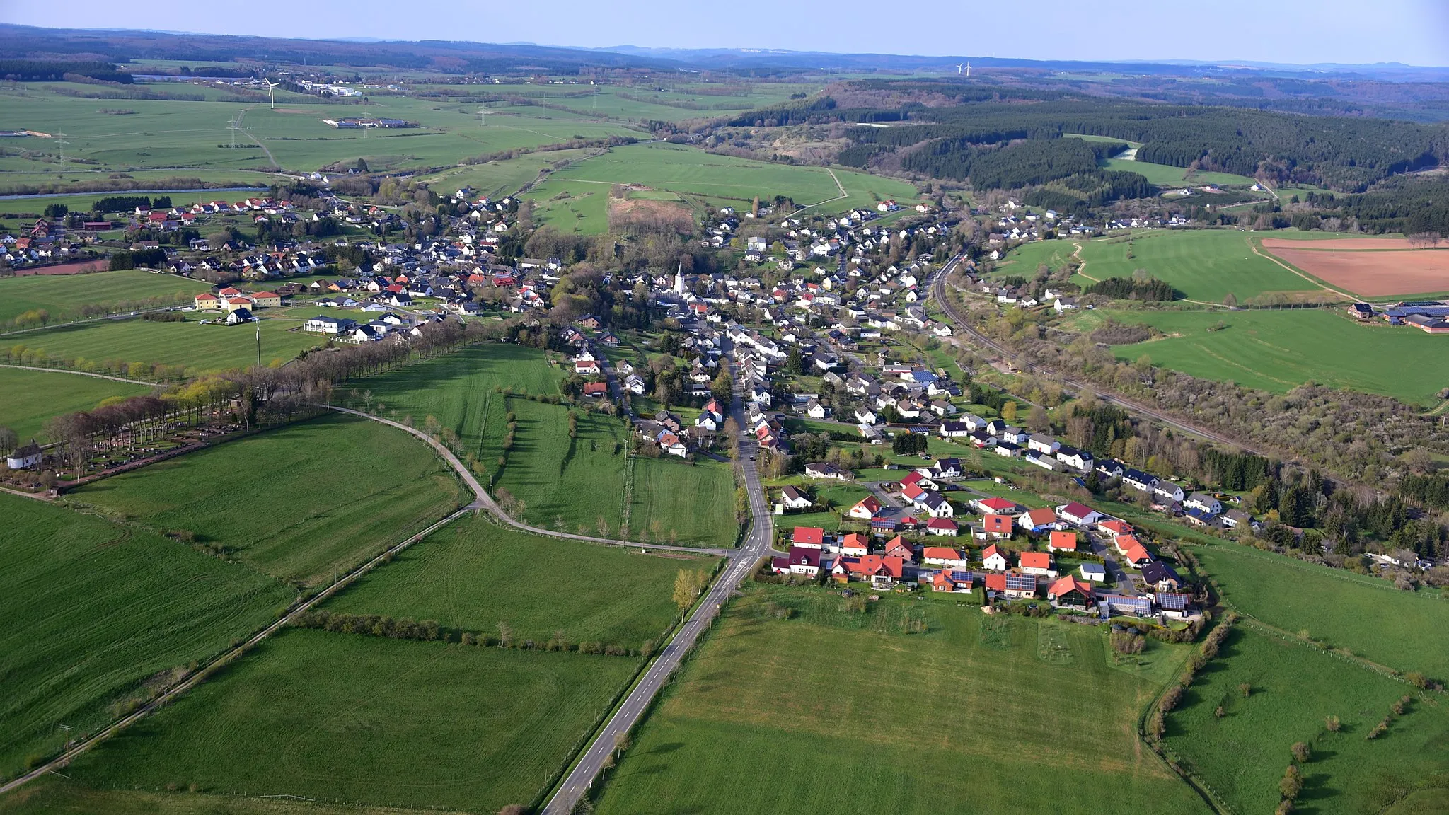
HouverathVillageHouverath, situated at 30 km from the start, is a picturesque village surrounded by rolling hills and enchanting landscapes.
41 km
41 km
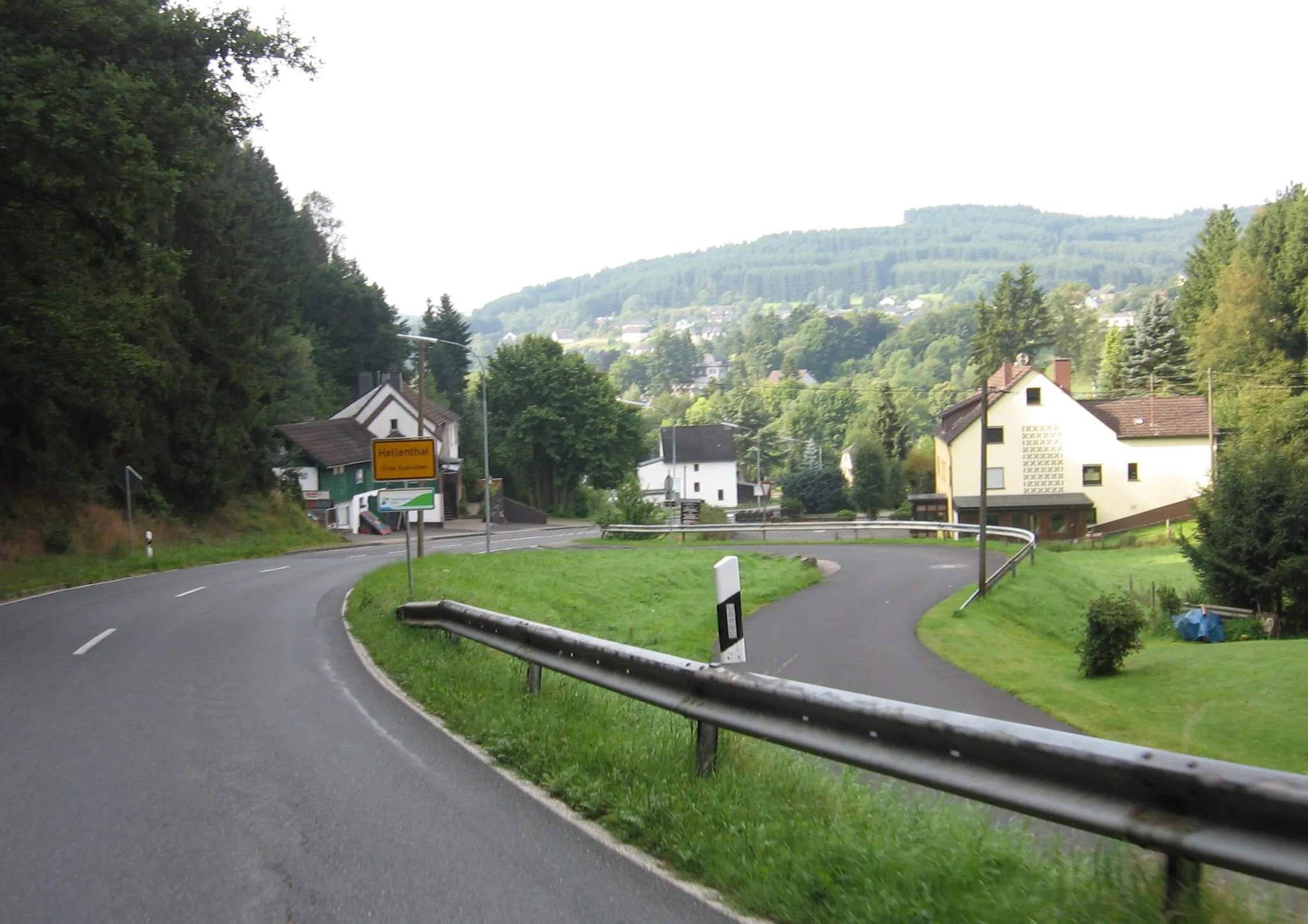
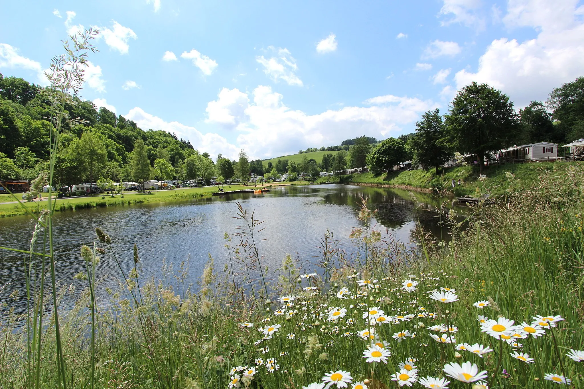
MaulbachVillageMaulbach, at a distance of 41 km from the start, is a tranquil spot surrounded by nature, ideal for relaxation and meditation.
61 km
61 km
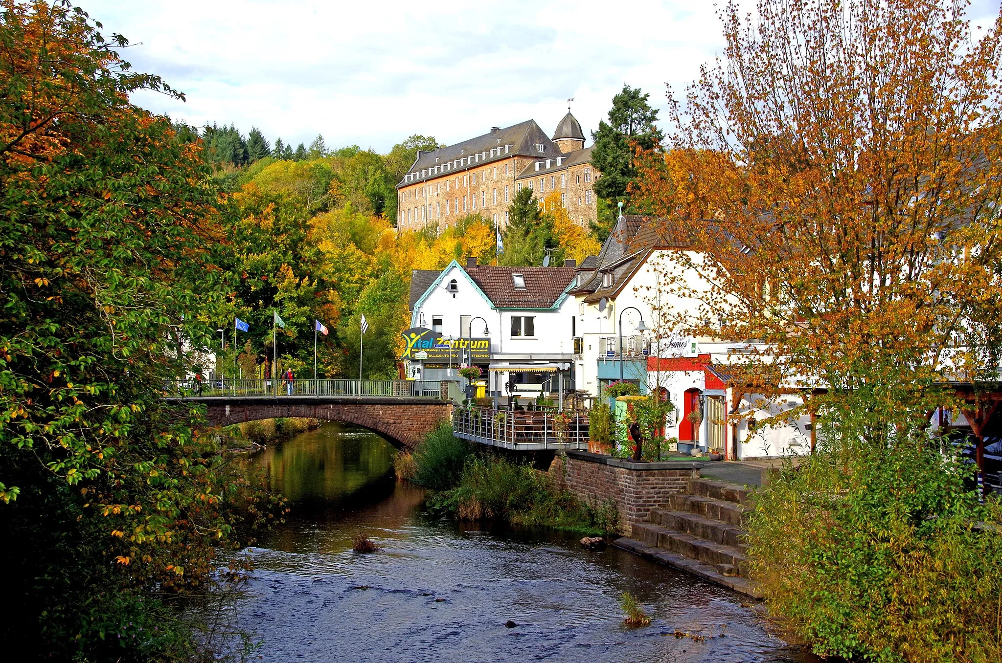
Radioteleskop StockertAttractionRadioteleskop Stockert, located at 61 km from the start, is a prominent radio telescope that attracts astronomers and space enthusiasts.
61 km
61 km
Stockert433 mPeakStockert is a fascinating region renowned for its natural beauty and picturesque landscapes. Explore its rolling hills and authentic charm.
75 km
75 km
Finish: Nettersheim Village centerNettersheim: Cycling and adventure in Köln
Cycling routes from Nettersheim:
Nettersheim to Golbach Loop Road Cycling Route Leisurely Road Cycling to Engelgau Gravel Adventure on Via Agrippa Nettersheim to Wildenburg Gravel Cycling Route Discover the Stockert Region on Gravel Nettersheim to Engelgau Loop Road Cycling Route Nettersheim to Strempt Gravel Cycling Route Nettersheim to Pferdekopf Loop Road Cycling Route Scenic Gravel Route to Tondorf Road Route to Langscheid Nettersheim to Lindweiler Nettersheim to Kalenberg Nettersheim to Dahlem Nettersheim to Marmagen
Cycling routes nearby: