Explore the Natural Beauty of Kreuzau
A gravel cycling route starting from Norvenich
Embark on a challenging gravel ride through Muldenau, Mittelberg, Brück, Eugenienstein, Binsfeld, and Kreuzau to discover the natural beauty of the region.
Map
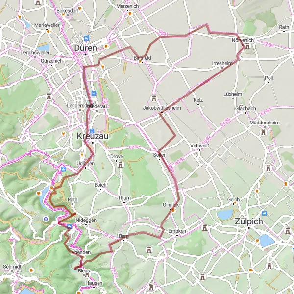
This 65-kilometer gravel route with an ascent of 717 meters will take you through diverse landscapes, ranging from forests to rolling hills. With a difficulty level of 5 and an epicness level of 4, this route offers a challenging adventure for experienced gravel cyclists. Along the way, you can enjoy breathtaking views and explore charming villages with historical landmarks.
gravel
65 km
717 m
Savage
Route profile
Highlights on the route
0 km
0 km
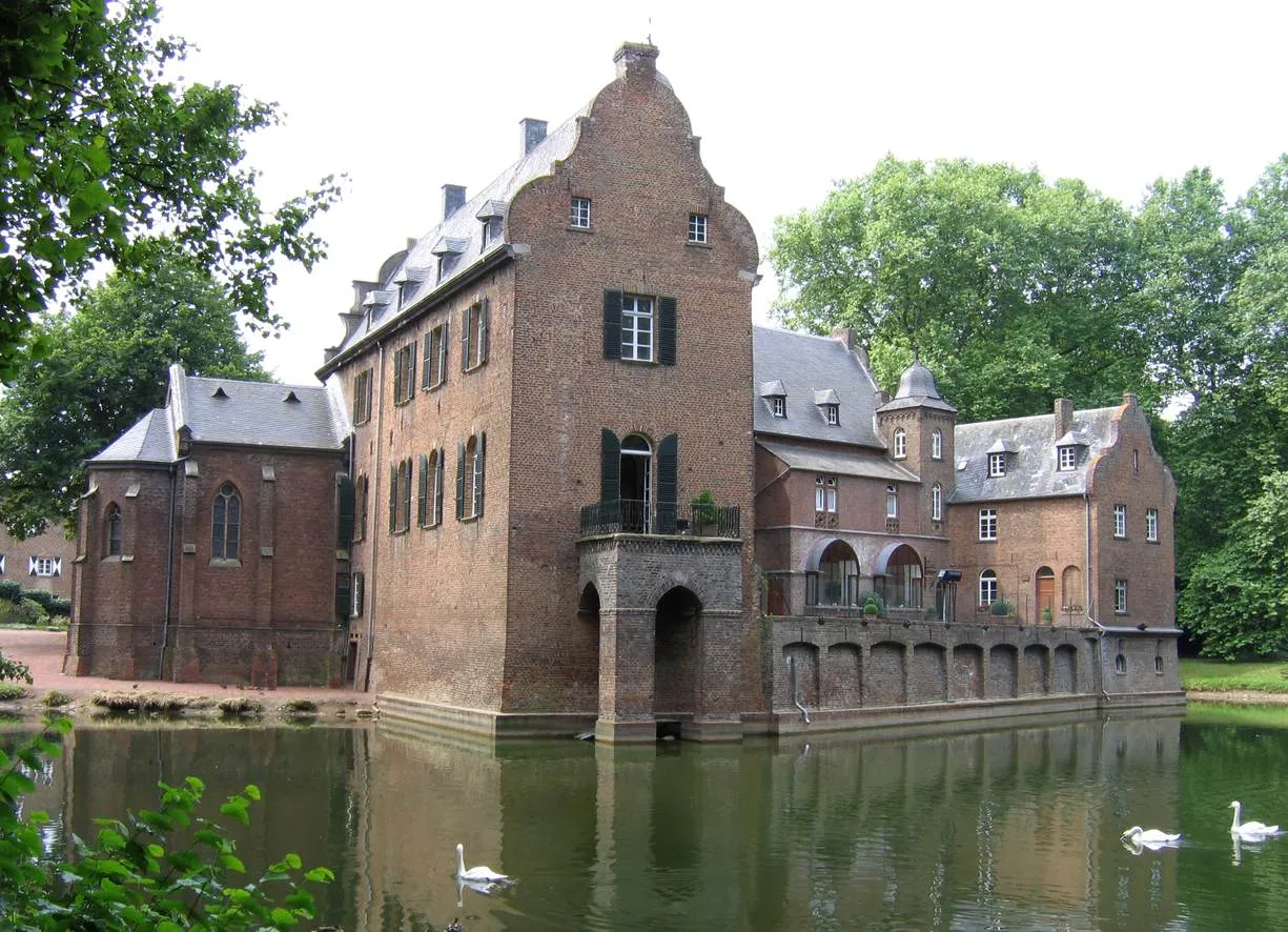
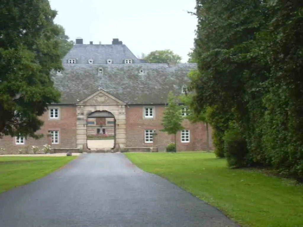
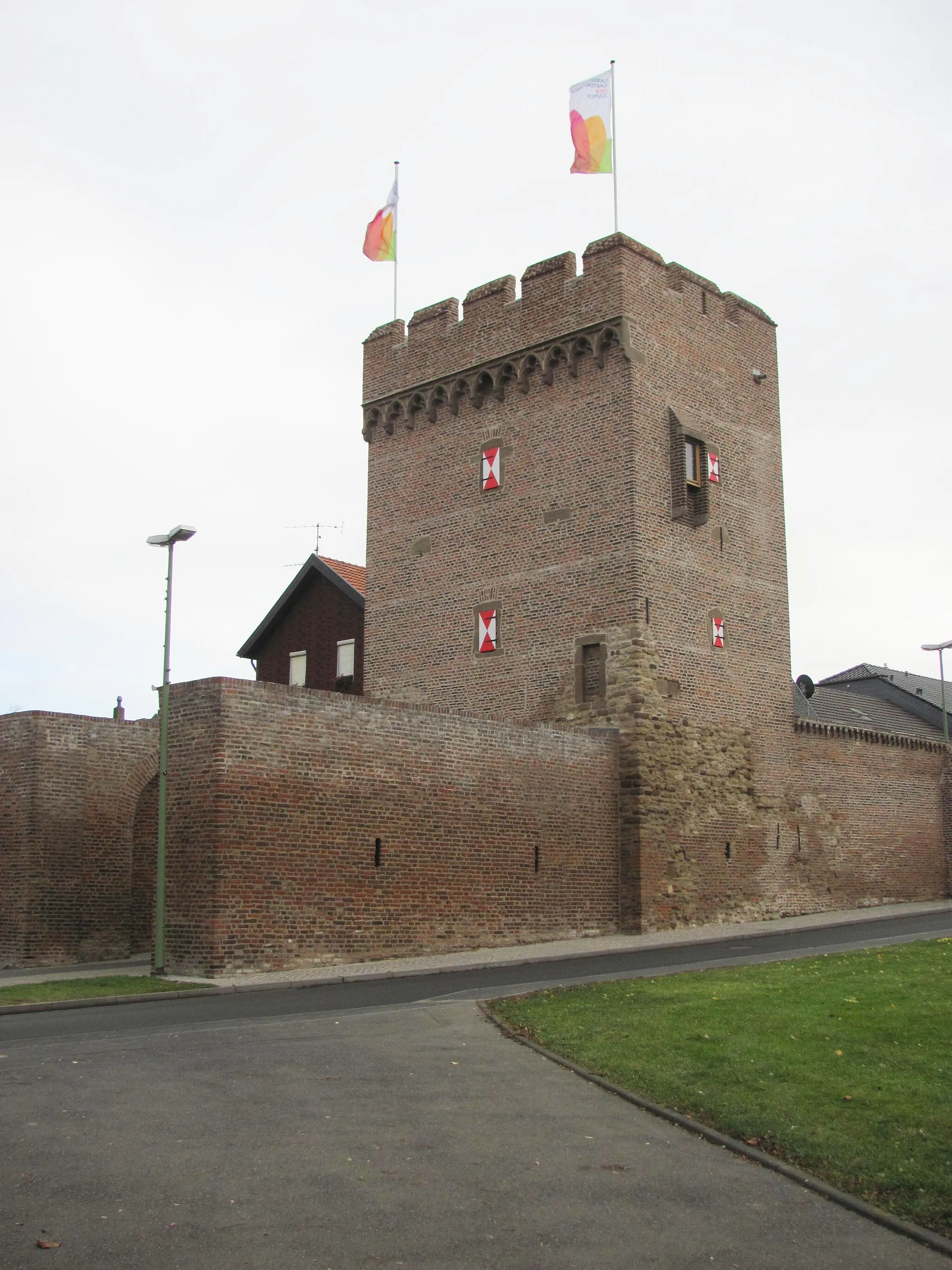
Start: Nörvenich Village centerNörvenich: Pedal through the picturesque landscapes of Nörvenich
Nörvenich in Germany offers a mix of road and gravel cycling routes suitable for various skill levels. The locality boasts a blend of scenic rural landscapes and well-maintained roads, providing enjoyable rides for cyclists. While there might not be any famous cycling spots or legendary climbs nearby, Nörvenich's serene environment and peaceful countryside make it an appealing destination for cyclists seeking tranquility. Explore the scenic beauty of Nörvenich and discover its hidden cycling gems.0 km
0 km
NörvenichVillageStart your journey in Nörvenich, known for its beautiful parks and gardens.
18 km
18 km
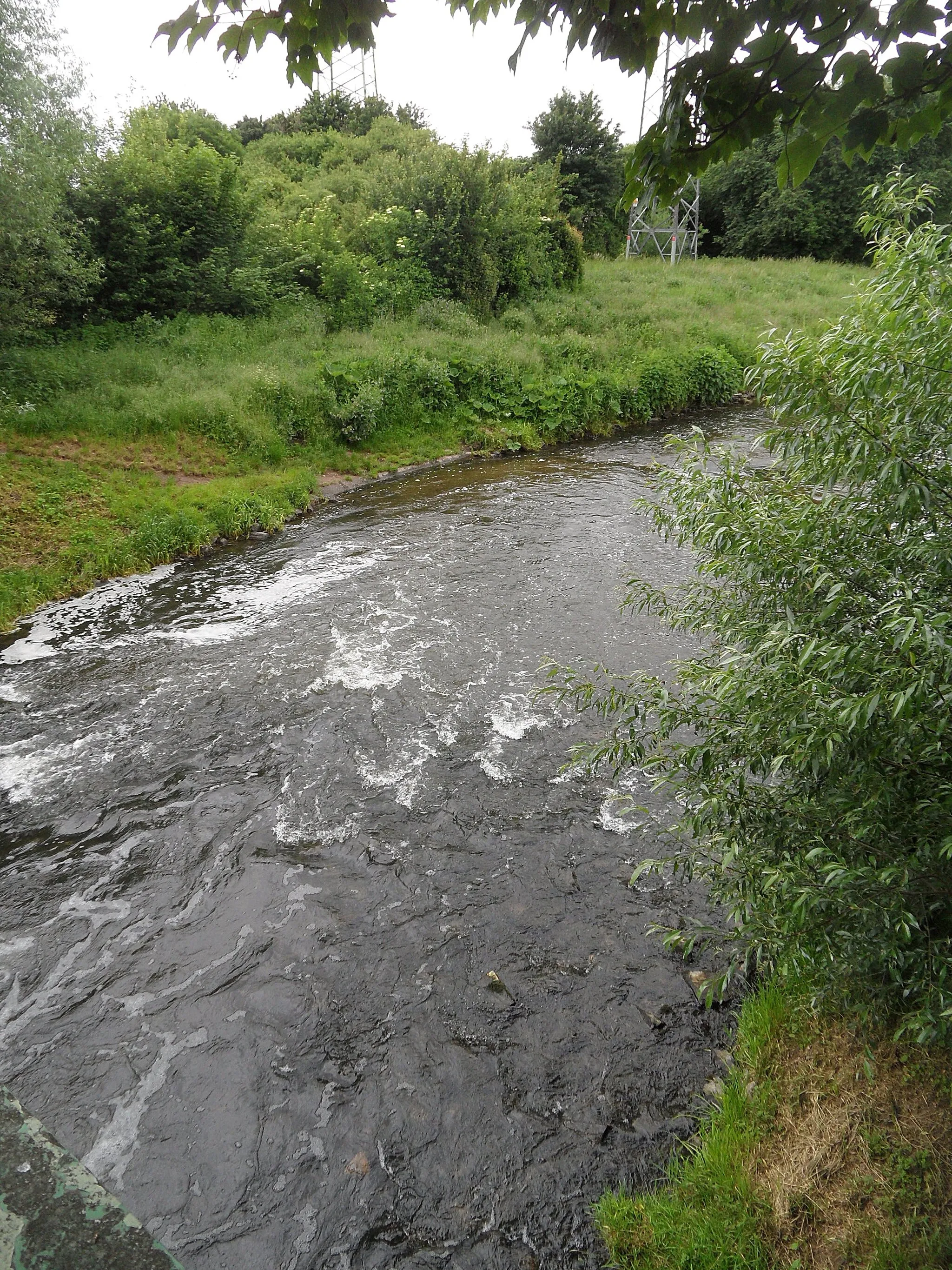
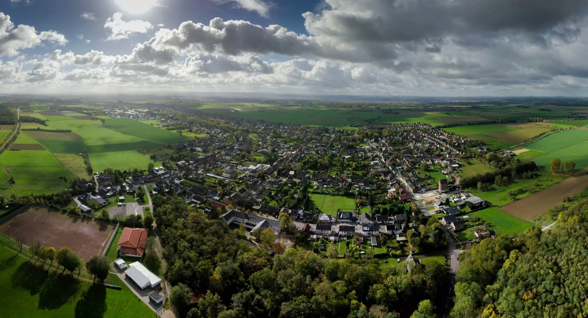
MuldenauVillageThe Muldenau nature reserve is a peaceful sanctuary, home to diverse plant and animal species.
26 km
26 km
MittelbergViewpointVisit Mittelberg, a small village surrounded by picturesque forests and meadows.
32 km
32 km
BrückHamletBrück is located in the Eifel region, known for its volcanic landscapes and hiking trails.
37 km
37 km
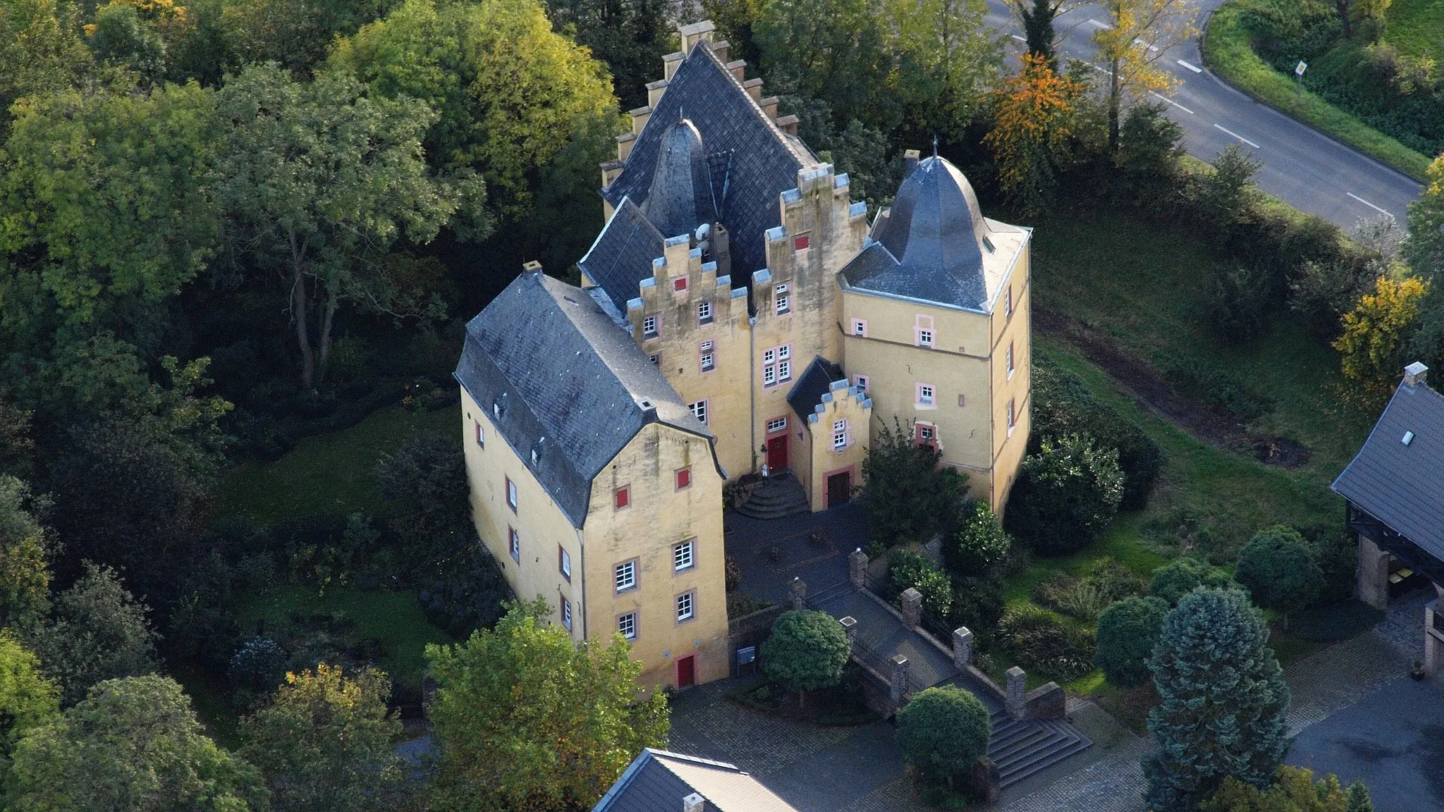
Eugenienstein334 mPeakEugenienstein offers beautiful viewpoints over the valley and the nearby Rurtalsperre dam.
46 km
46 km
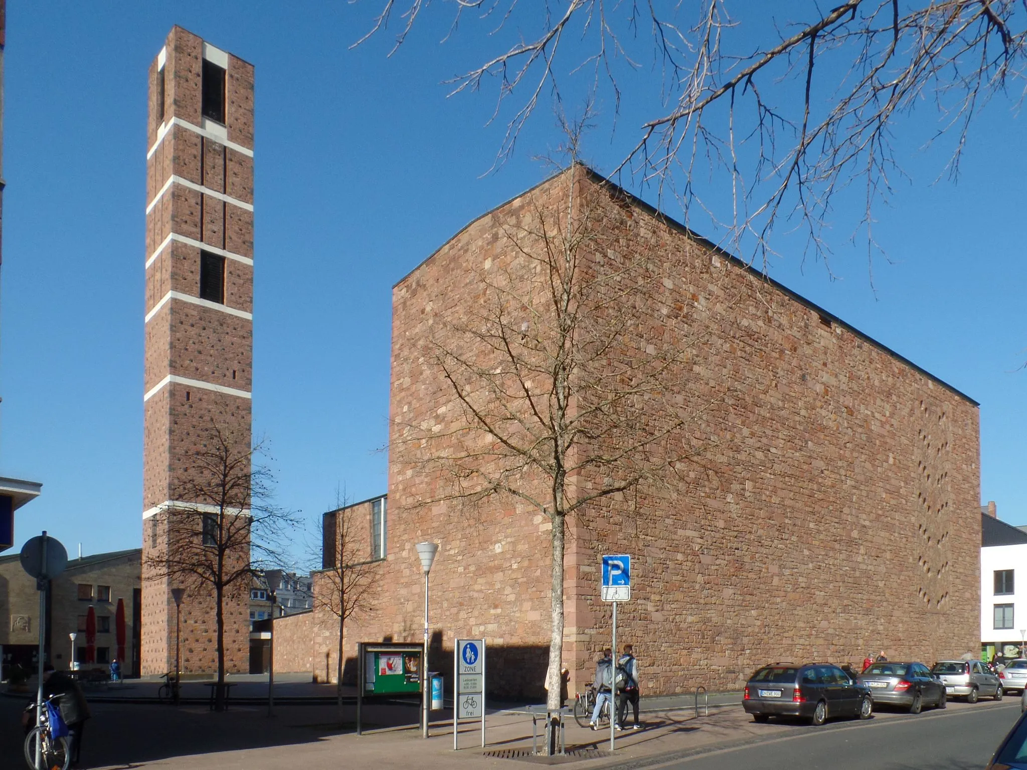
KreuzauTownKreuzau is situated at the foothills of the Eifel National Park, offering opportunities for outdoor activities and exploring nature.
56 km
56 km
BinsfeldVillageBinsfeld is a charming village with traditional architecture and a vibrant local community.
65 km
65 km
Finish: Nörvenich Village centerNörvenich: Pedal through the picturesque landscapes of Nörvenich
Cycling routes from Norvenich:
Cycling routes nearby: