Gravel Route via Quettingen and Opladen
A gravel cycling route starting from Opladen
A scenic gravel ride featuring Quettingen and Opladen
Map
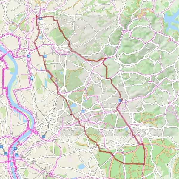
This gravel route is a scenic and enjoyable ride starting near Opladen. With a total distance of 47 km and a moderate ascent of 306 m, it offers a pleasant challenge for amateur cyclists. The route passes through Quettingen and ends in Opladen. Along the way, you can explore various highlights, including Bergisch Gladbach and Lustheide.
gravel
47 km
306 m
Tough
Route profile
Highlights on the route
0 km
0 km
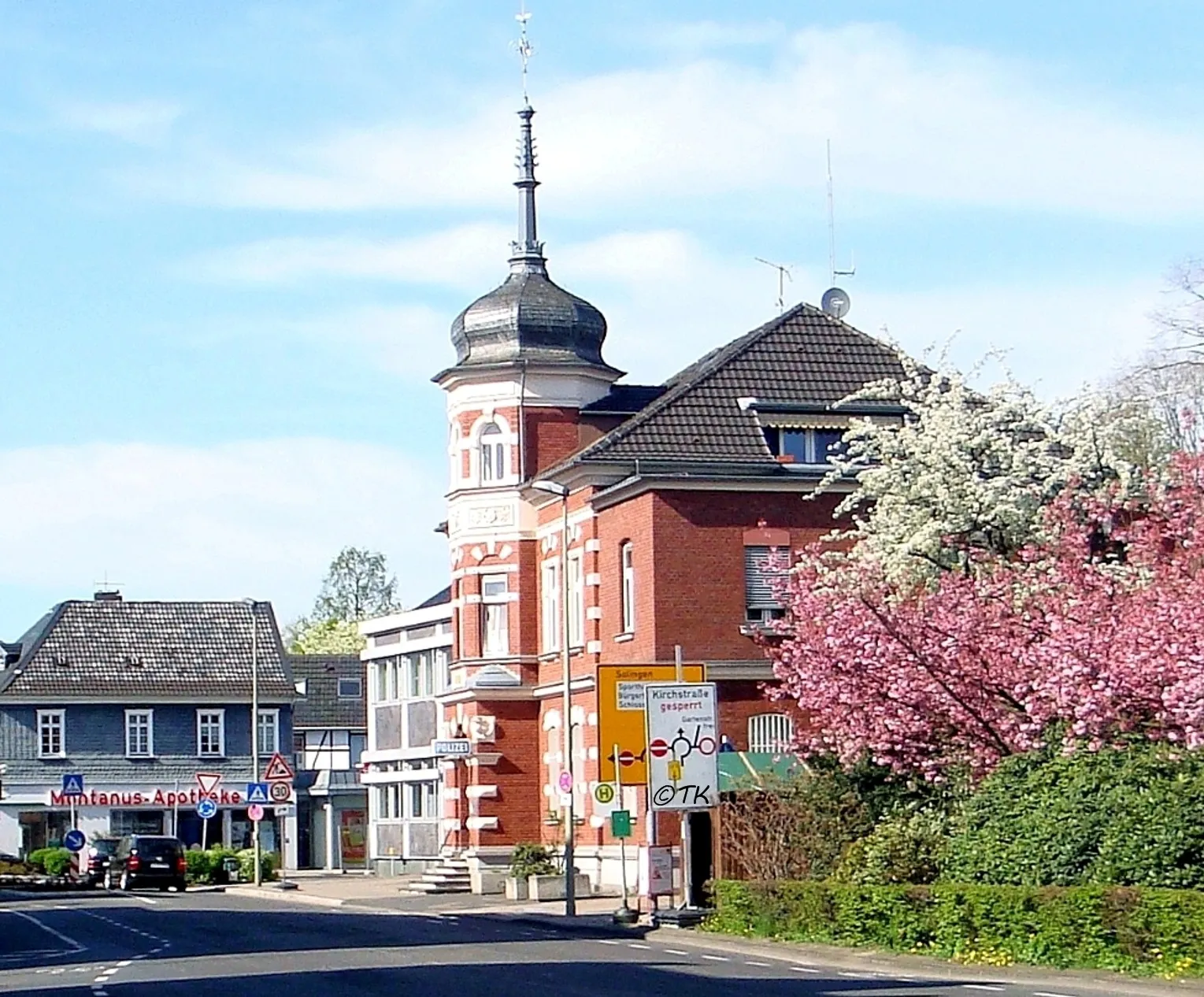
Start: Locality centerOpladen: Exploring the scenic routes of Opladen
Opladen is a locality in Germany, situated in the Köln region. From a cyclist's perspective, Opladen offers a range of cycling routes that vary in difficulty. The roads in the area are well-maintained and there are designated lanes for cyclists, making it a cycling-friendly area. One of the well-known cycling spots nearby is the Cologne Loop, a popular route among local cyclists. With its cycling infrastructure and scenic routes, Opladen provides a pleasant cycling experience for riders of all levels.2 km
2 km
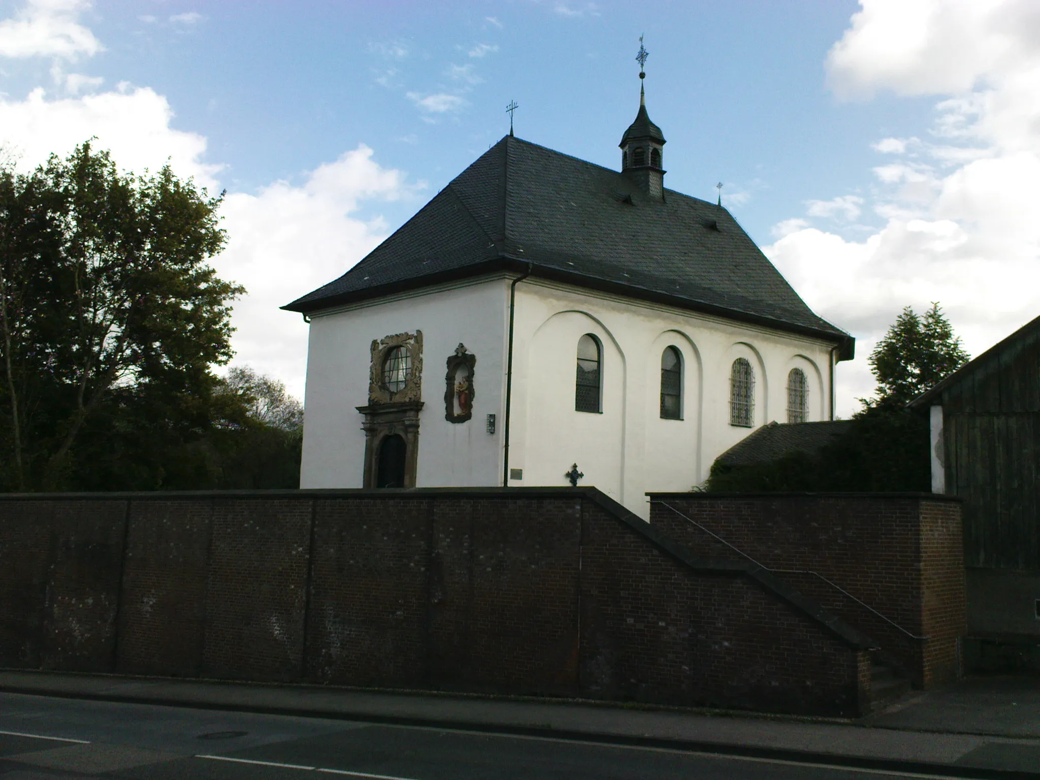
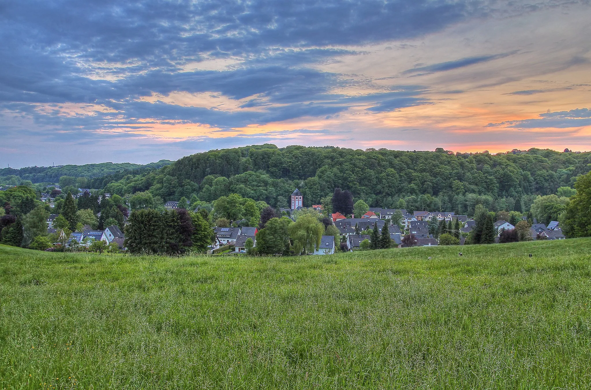
QuettingenSub-urbNear Quettingen, you can stop by charming cafes and enjoy the lovely countryside views of the region.
16 km
16 km
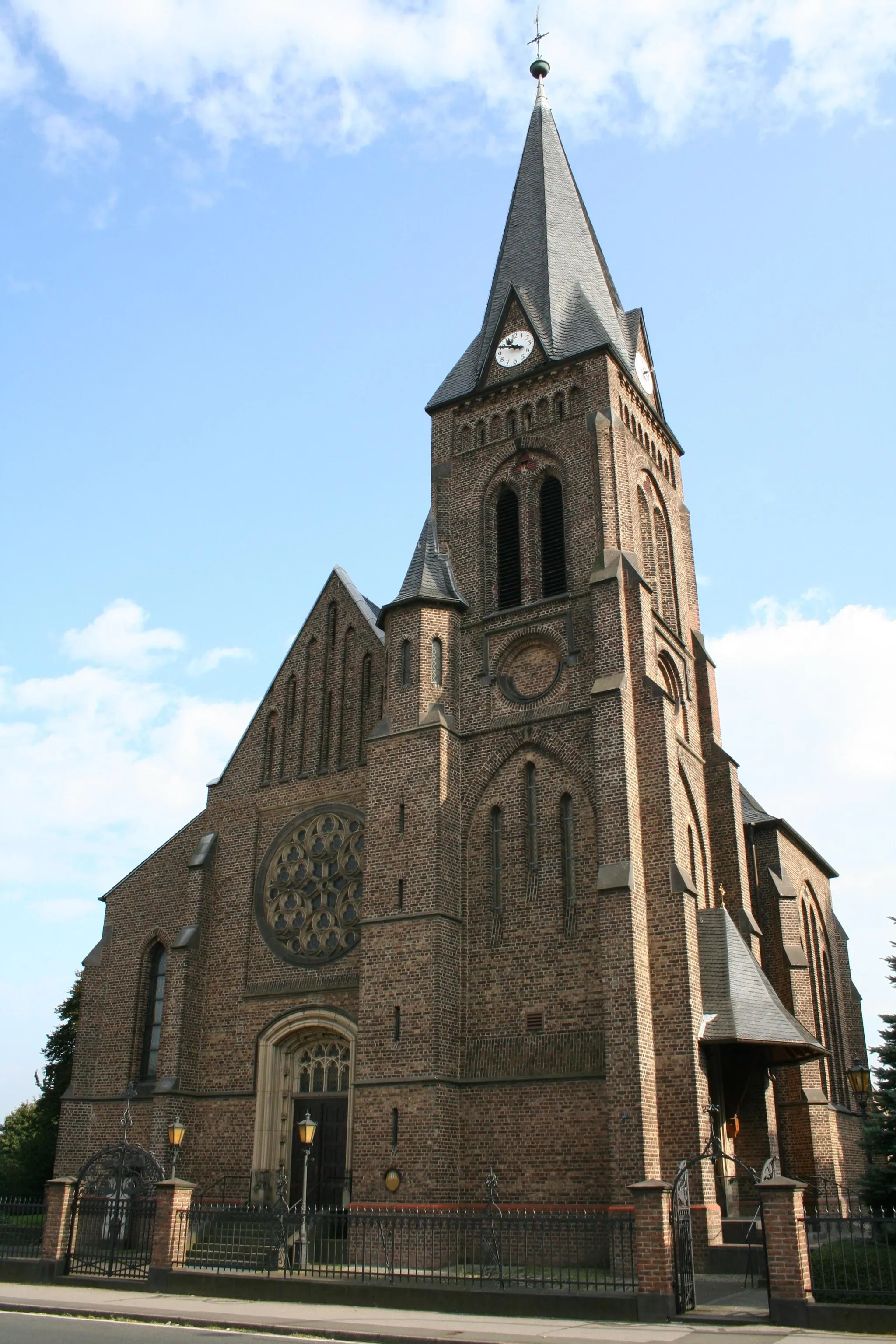
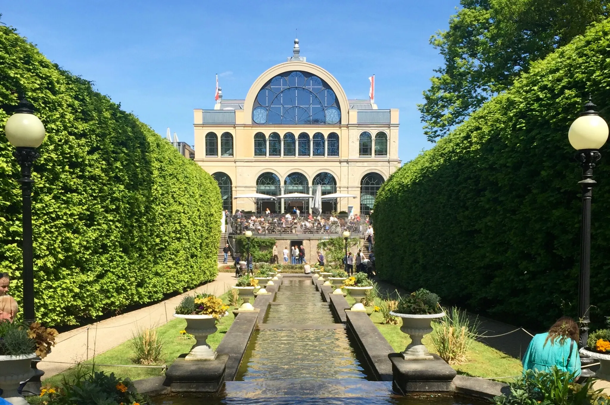
Bergisch GladbachCityBergisch Gladbach offers cultural attractions, including historical architecture and beautiful parks.
26 km
26 km
Kleiner Steinberg97 mPeakKleiner Steinberg is known for its picturesque scenery and tranquil surroundings, perfect for a short rest during the ride.
28 km
28 km
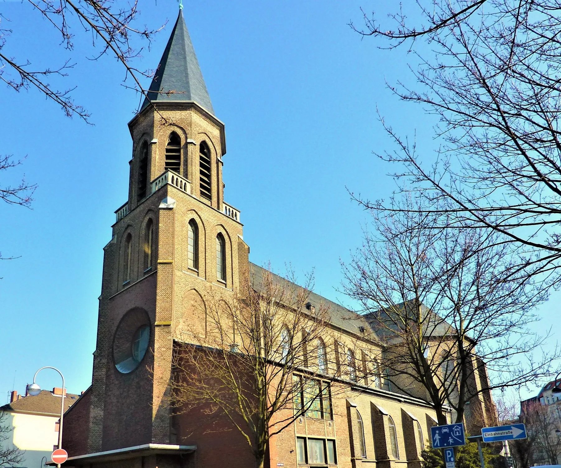
LustheideSub-urbLustheide is a famous cycling spot recognized for its scenic beauty and challenging terrain.
37 km
37 km
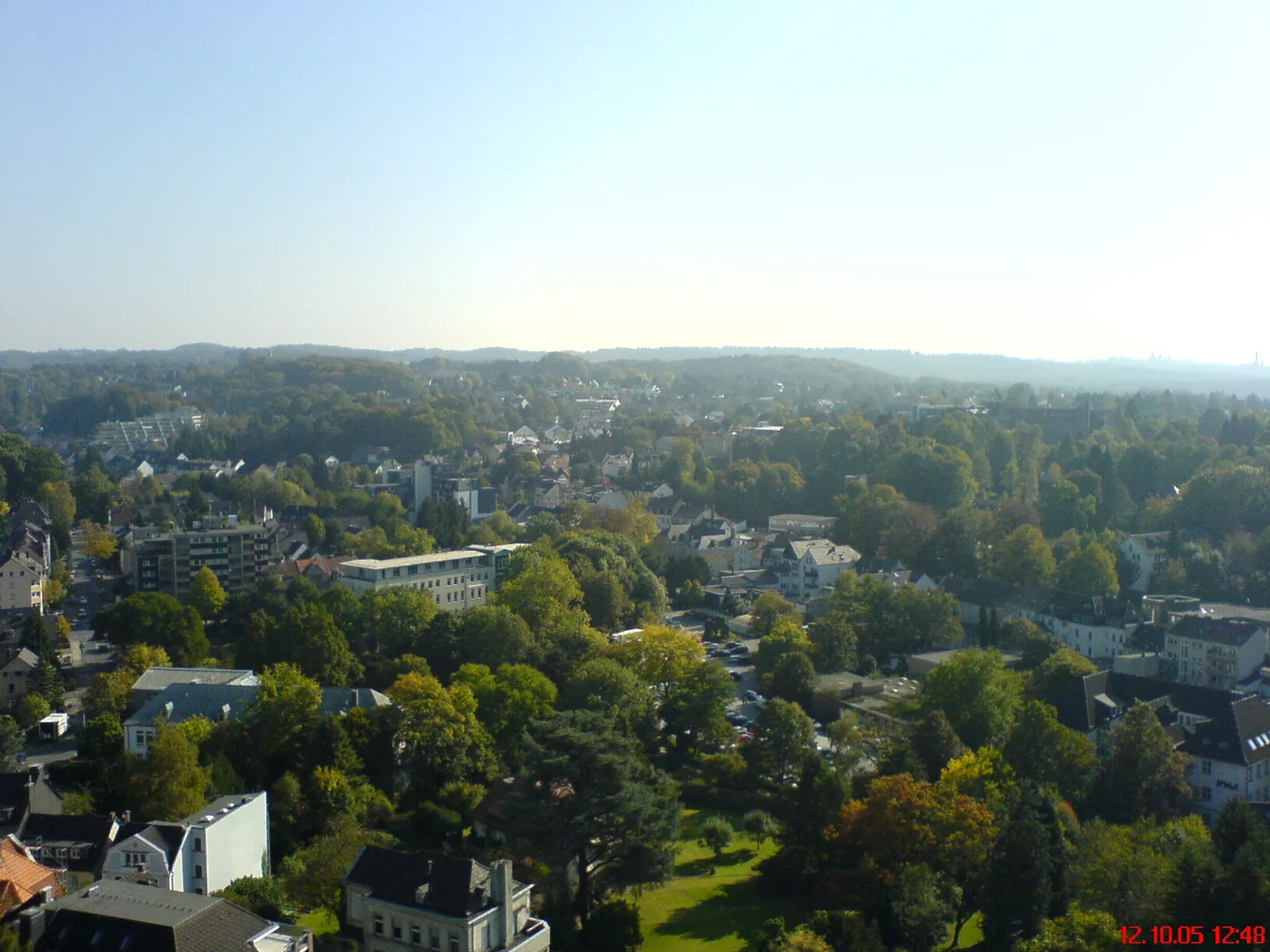
Förster-Schreibweis-KanzelViewpointFörster-Schreibweis-Kanzel is a lookout point that offers breathtaking views of the surrounding landscape.
47 km
47 km
OpladenSub-urbOpladen is the starting and ending point of this route and provides cyclists with several amenities, such as bike shops and cafes.
47 km
47 km
Finish: Locality centerOpladen: Exploring the scenic routes of Opladen
Cycling routes from Opladen:
Gravel Route via Quettingen and Opladen Countryside Escape: Opladen to Köln Triangle Leichlingen and Beyond Hilden and Industrial Landmarks Discovering Bergisches Land Gravel Adventure: Nature's Wonders Gravel Tour Around Opladen Road Cycling Adventure through Aggertal Leisurely Gravel Ride from Opladen to Hilden Challenging Gravel Route to Hilgen
Cycling routes nearby: