The Road Challenge
A road cycling route starting from Wegberg
Conquer the roads near Wegberg
Map
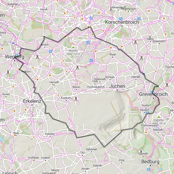
With a distance of 72km and 214m of ascent, this road route near Wegberg is perfect for cyclists looking for a challenge. The route takes you through scenic landscapes and passes highlights such as Wasser.Blick 20 - Holtmühle, Gatzweiler, Giesenkirchen, Grevenbroich, Jackerath, Kückhoven, and Holtum. Prepare to be amazed by the beauty of the region.
road
72 km
214 m
Tough
Route profile
Highlights on the route
0 km
0 km
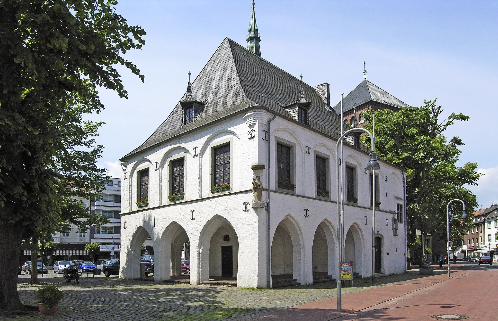
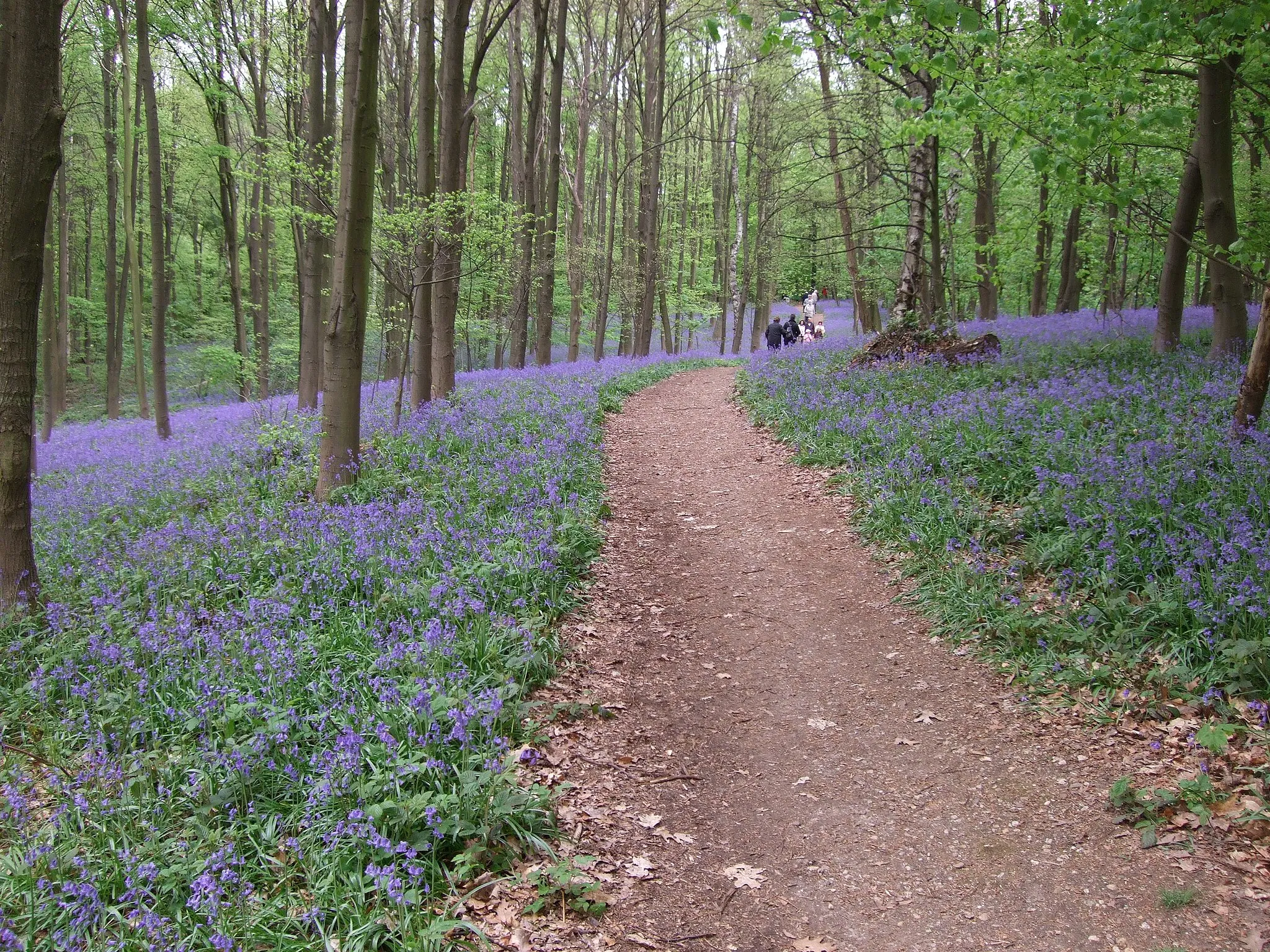
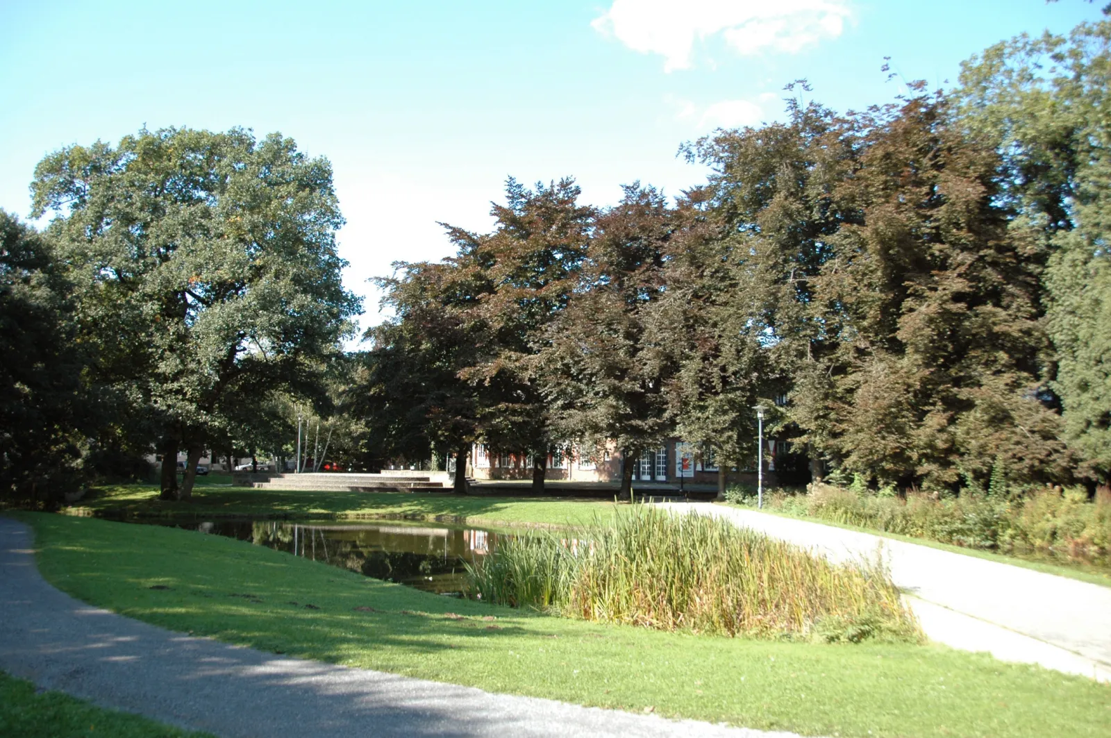
Start: Wegberg City centerWegberg: Peaceful countryside cycling with natural beauty
Wegberg is a locality located in Köln, Germany. As a cyclist, Wegberg offers some pleasant cycling routes through countryside landscapes. While there aren't any famous cycling-related spots or well-known climbs nearby, the region is known for its tranquility and natural beauty. Wegberg is also within close proximity to multiple nature reserves, providing opportunities for outdoor activities. Overall, Wegberg is a decent option for cyclists seeking a peaceful countryside cycling experience.3 km
3 km
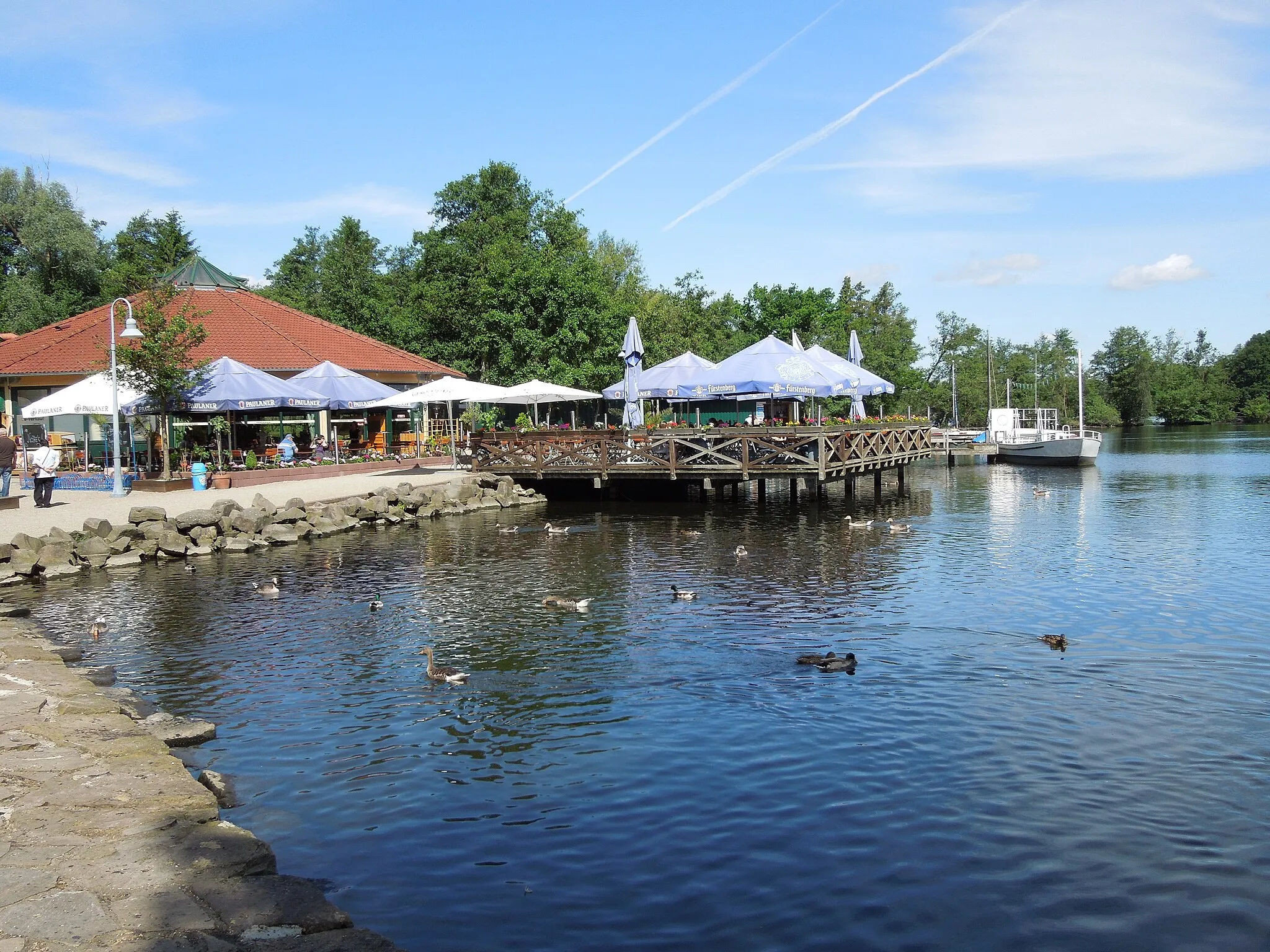
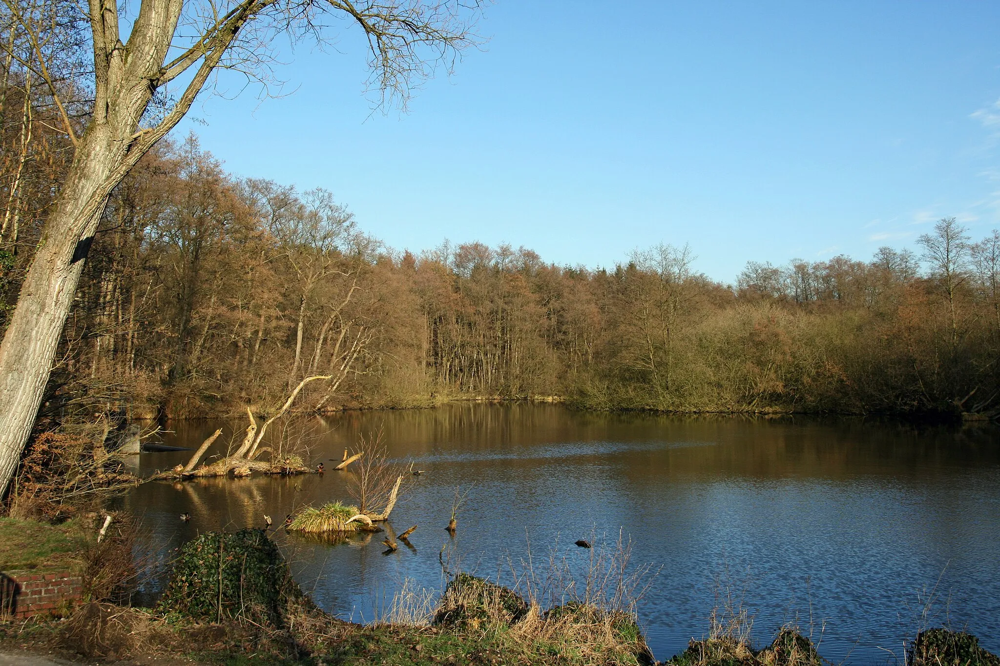
Wasser.Blick 20 - HoltmühleViewpointWasser.Blick 20 - Holtmühle offers stunning views of the Holtmühle lake and its surrounding nature.
4 km
4 km
GatzweilerHamletGatzweiler is a picturesque village known for its traditional architecture and quaint atmosphere.
21 km
21 km
GiesenkirchenSub-urbGiesenkirchen is a charming town with historical sites, lively markets, and a vibrant cultural scene.
34 km
34 km
GrevenbroichTownGrevenbroich is a vibrant city offering a mix of historical landmarks, modern attractions, and beautiful parks.
50 km
50 km
JackerathVillageJackerath is a small village surrounded by lush green fields and scenic countryside.
60 km
60 km
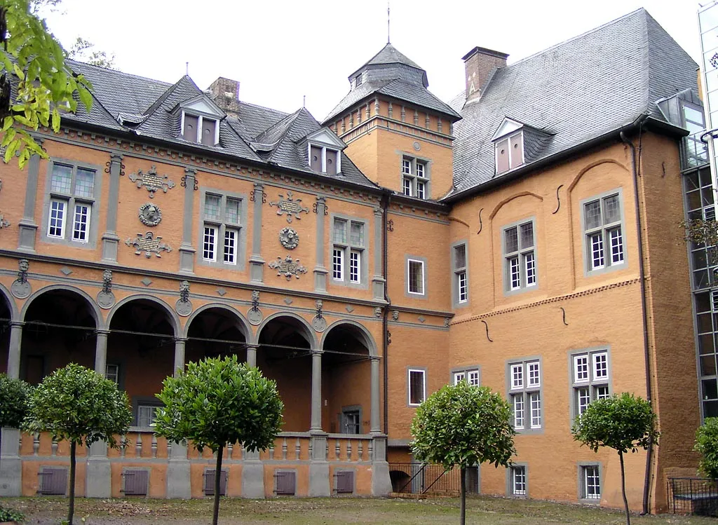
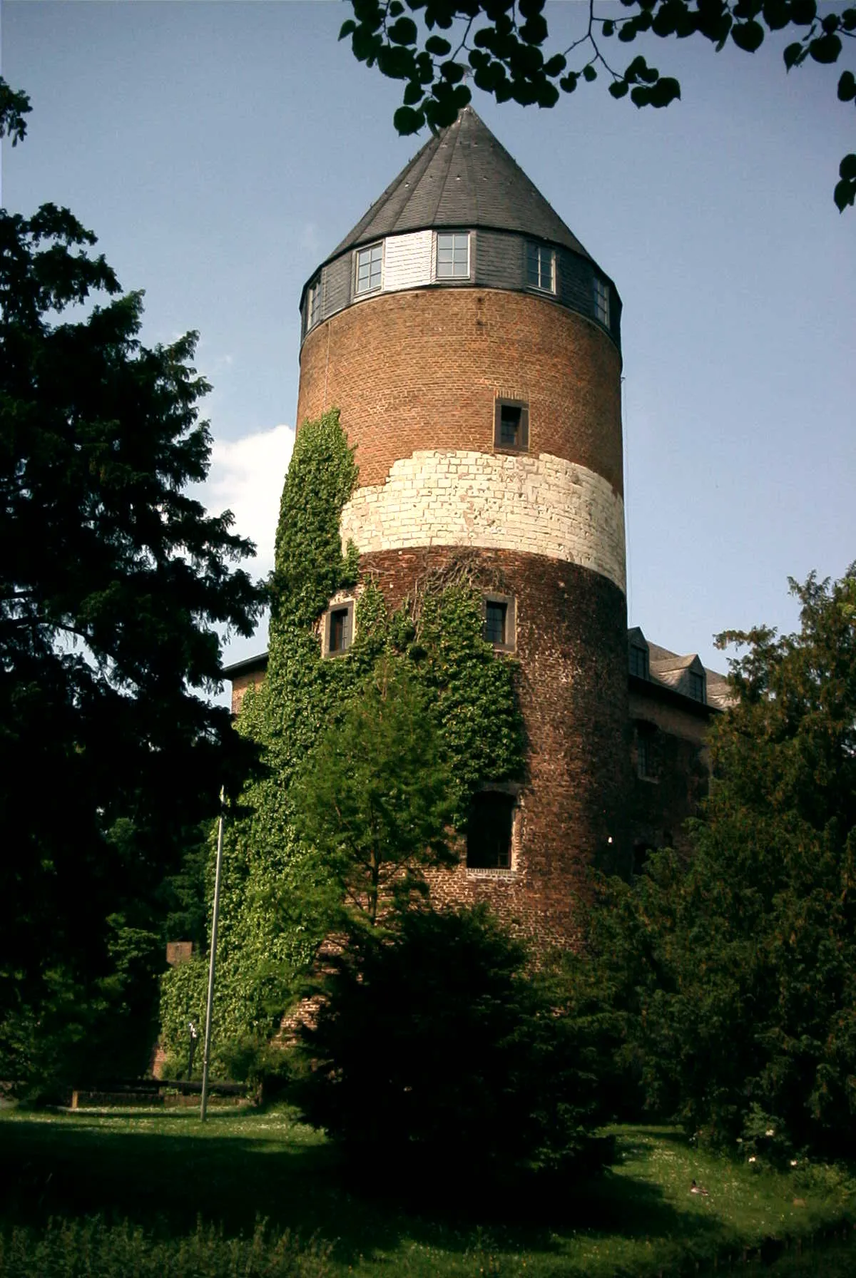
KückhovenVillageKückhoven is a hidden gem with its well-preserved medieval castle.
68 km
68 km
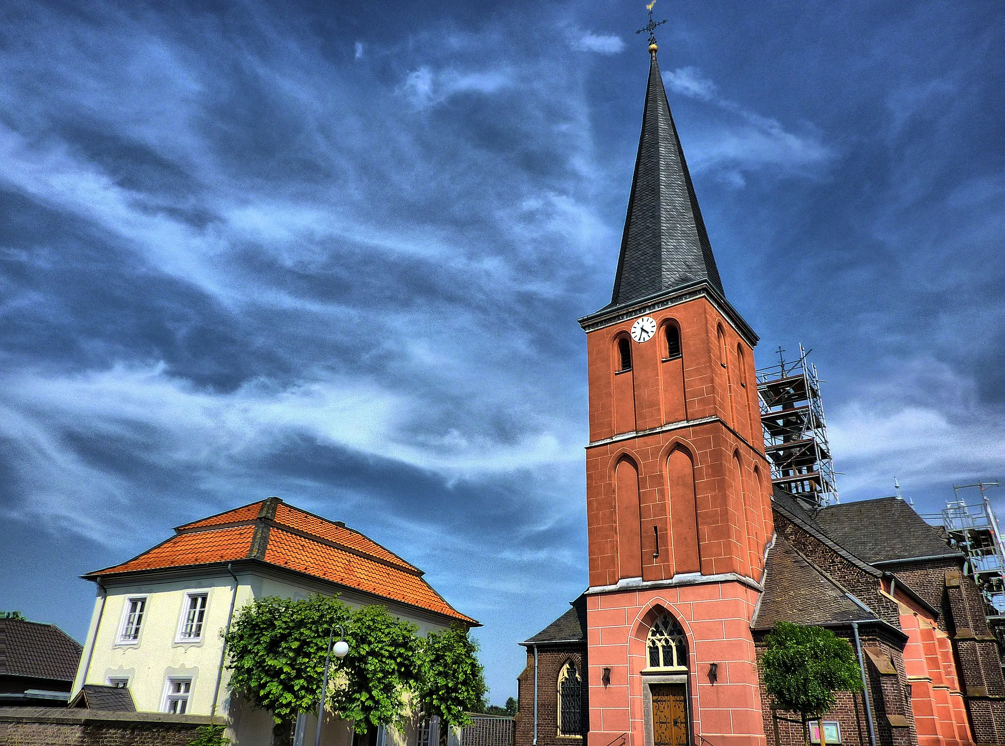
HoltumVillageHoltum is a peaceful village with charming streets and a lovely church.
72 km
72 km
Finish: Wegberg City centerWegberg: Peaceful countryside cycling with natural beauty
Cycling routes nearby: