Nature's cycling paradise in Mittelfranken
Cycling routes from Adelsdorf
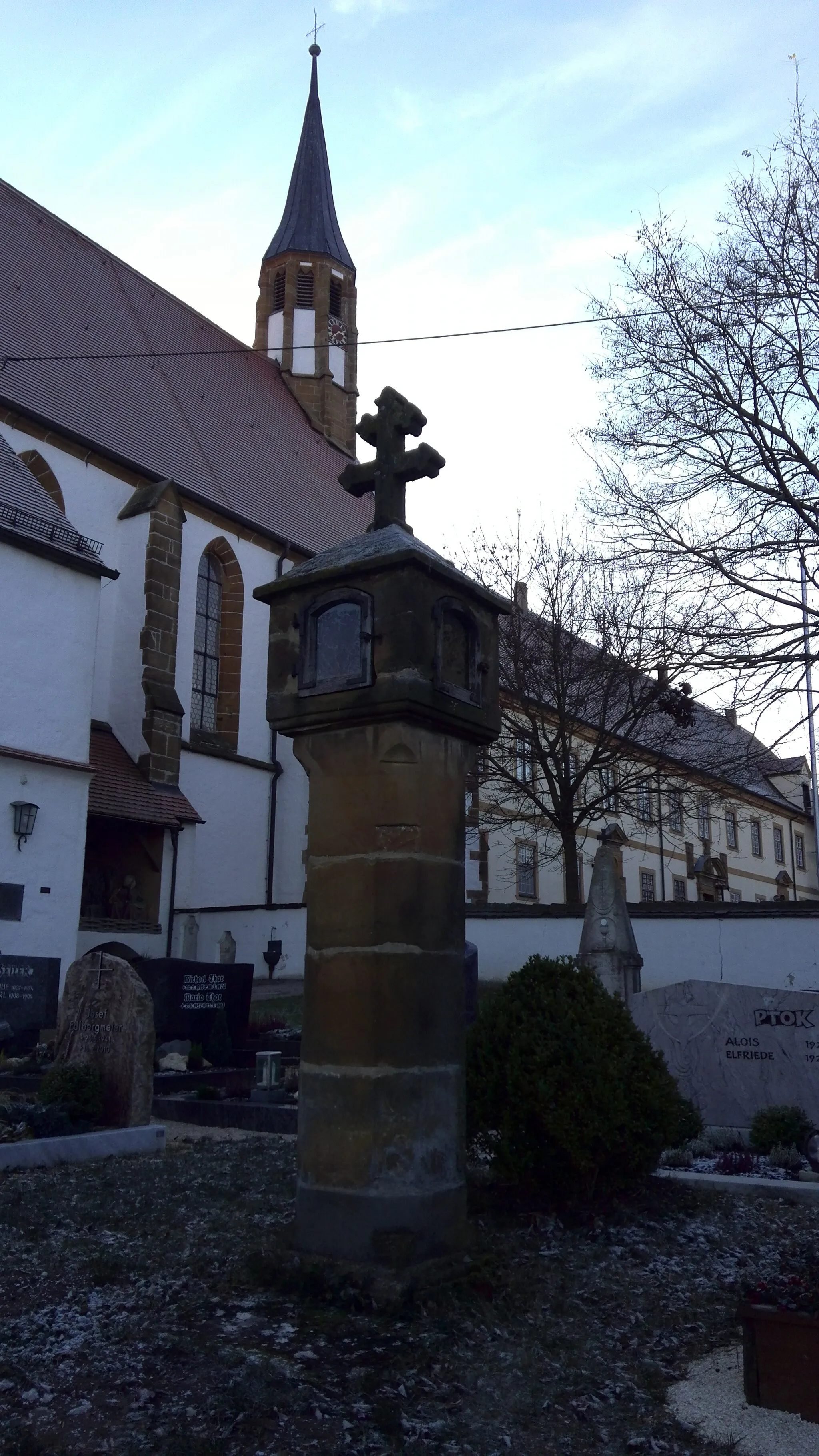
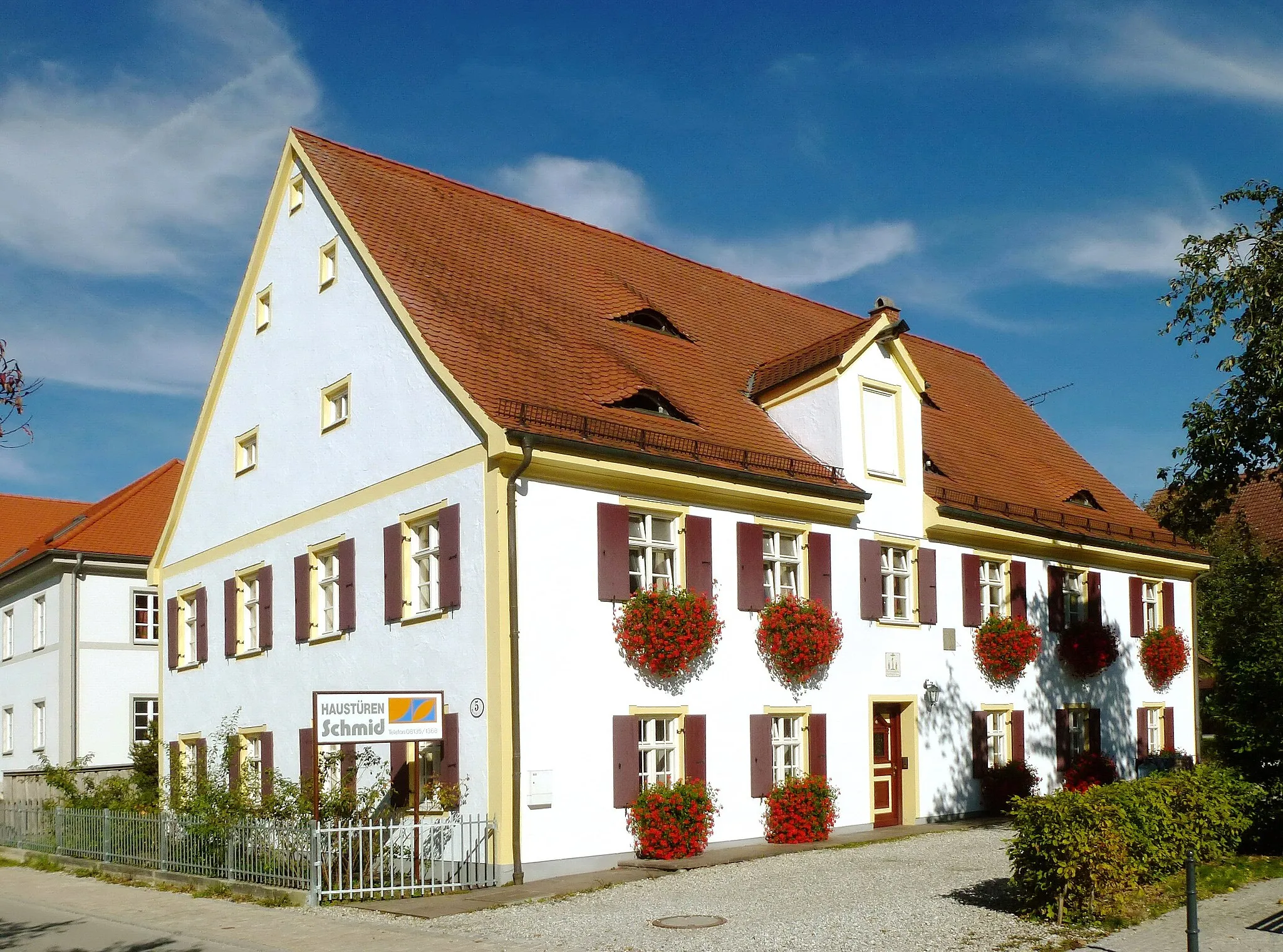
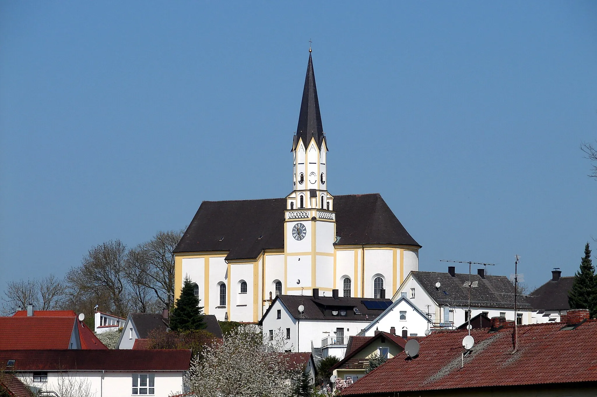
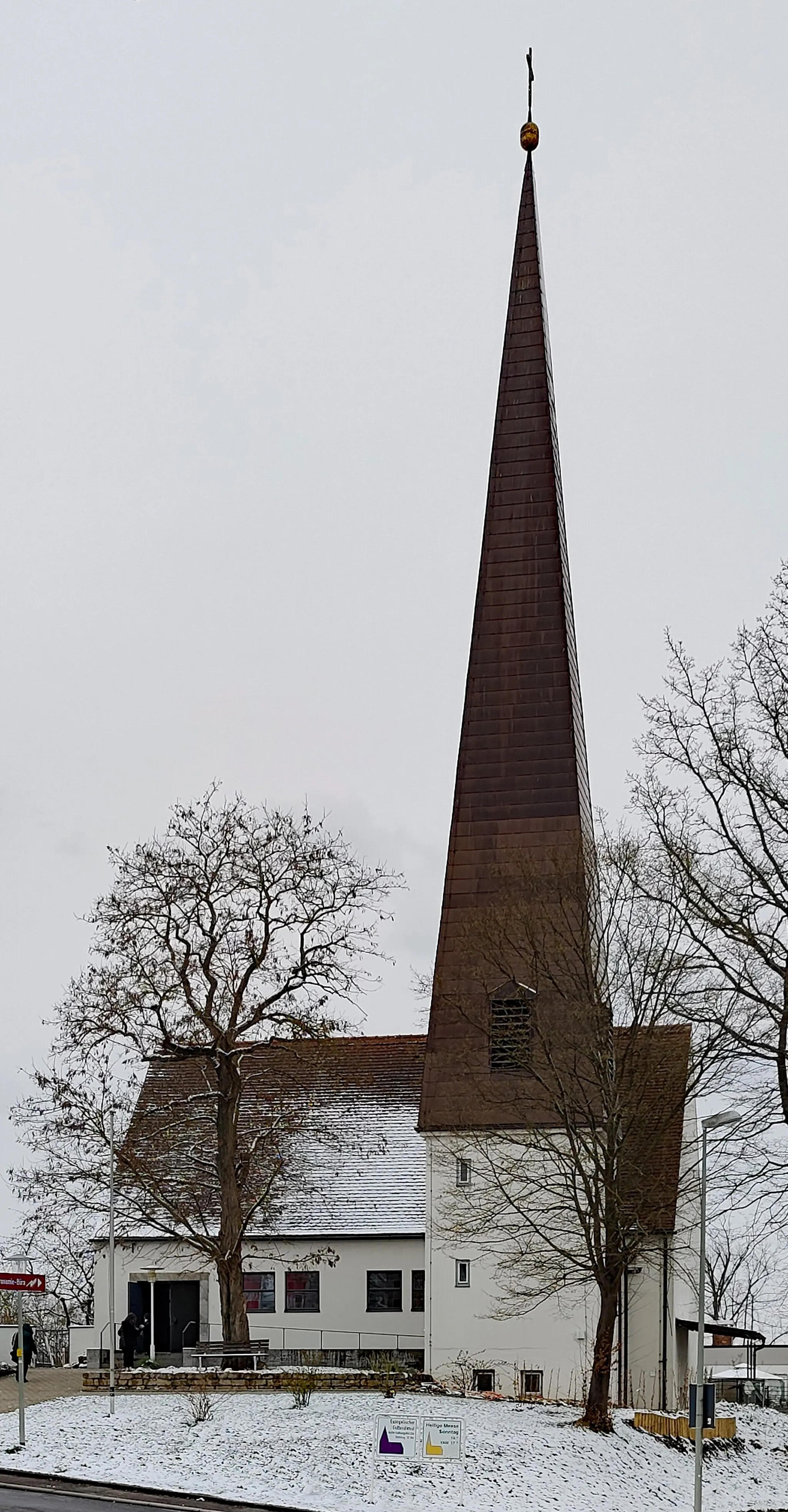
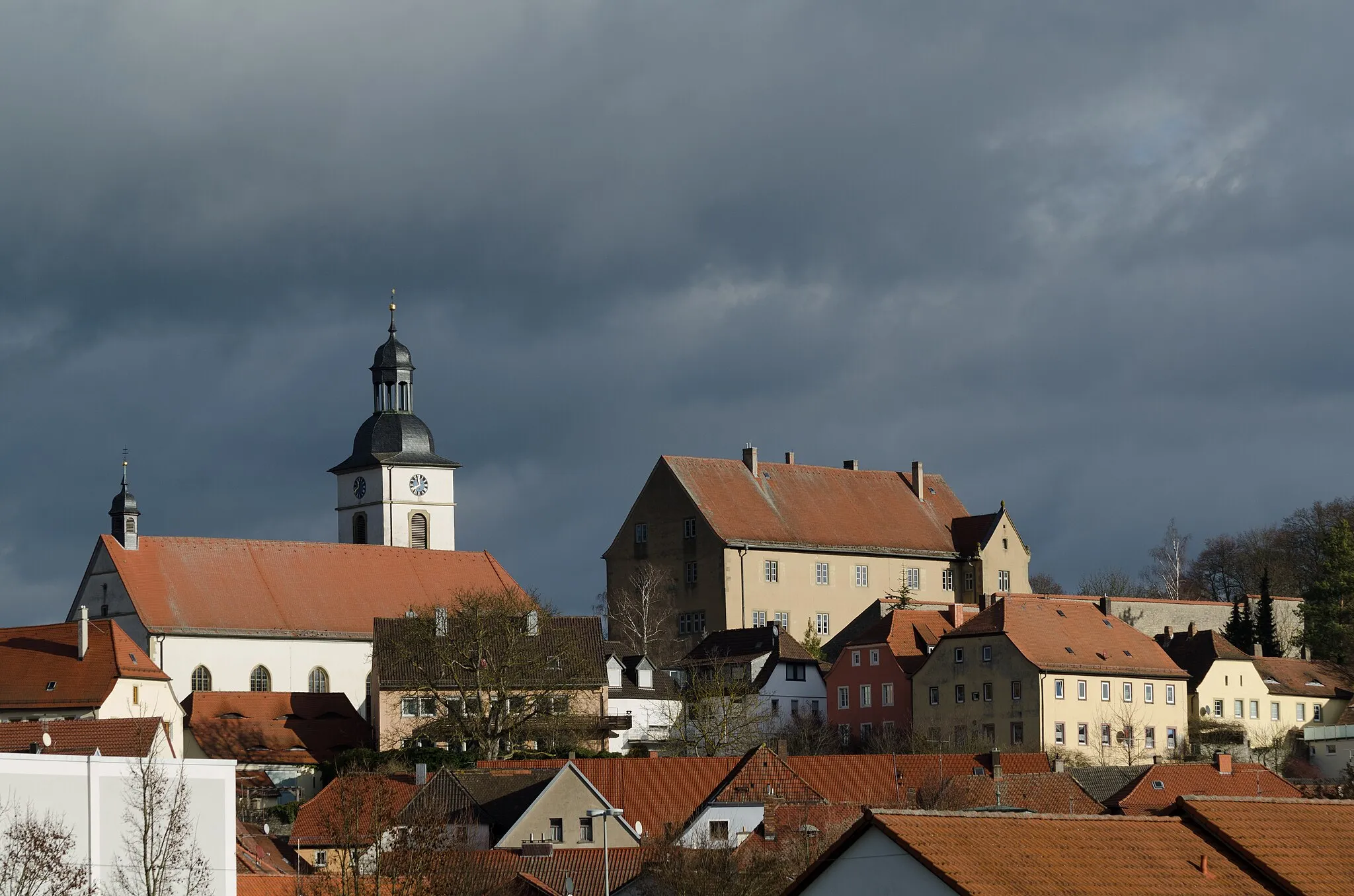
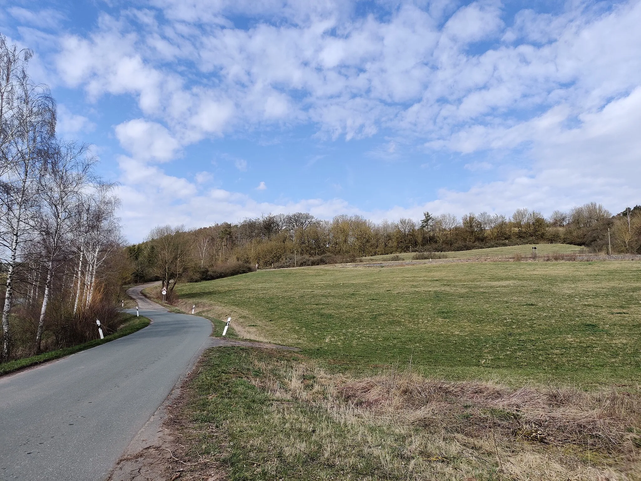
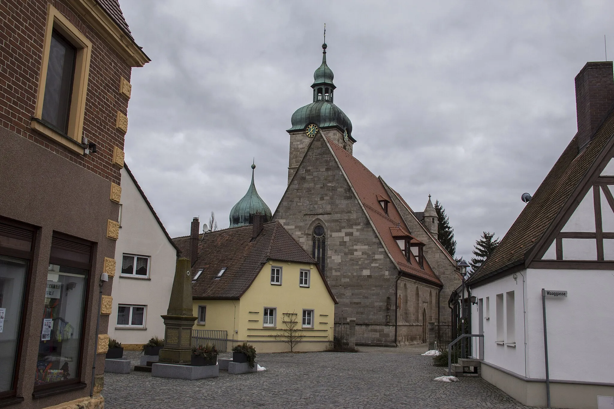
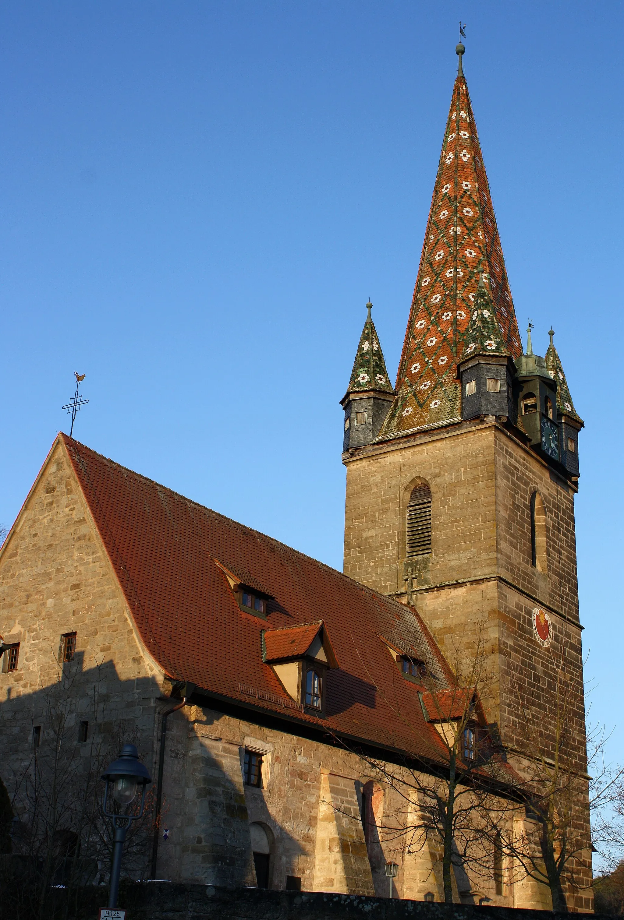
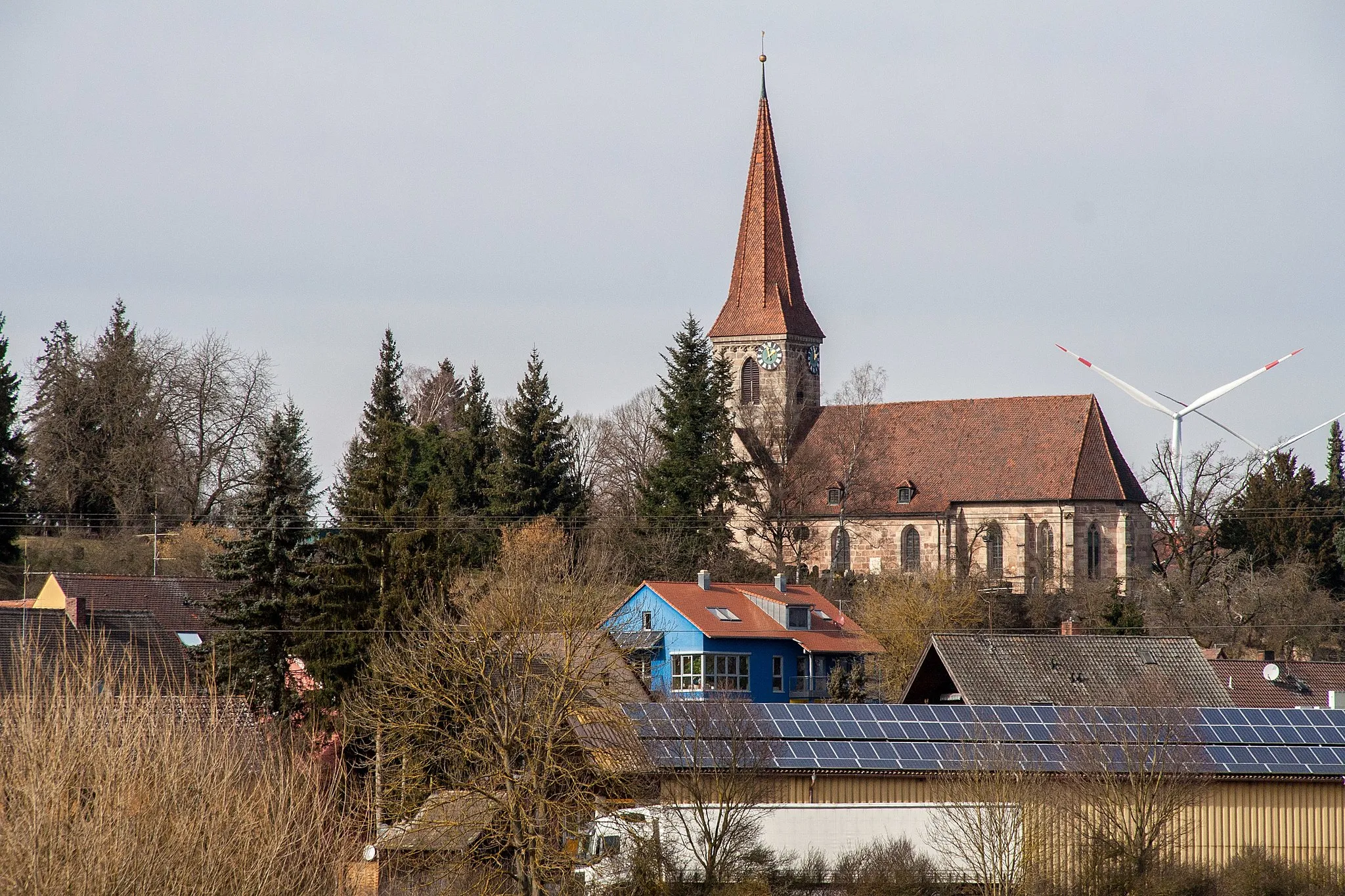
Adelsdorf, located in the Mittelfranken region of Germany, offers diverse cycling routes for road and gravel cyclists. The locality is surrounded by beautiful countryside and forests, providing a peaceful and scenic environment for cycling. Cyclists can explore the Franconian Switzerland Nature Park, which is known for its hilly landscapes and striking rock formations. A notable cycling spot nearby is the Ochsenkopf mountain, offering challenging climbs and stunning views from the top.
Embark on a challenging road cycling route with breathtaking views
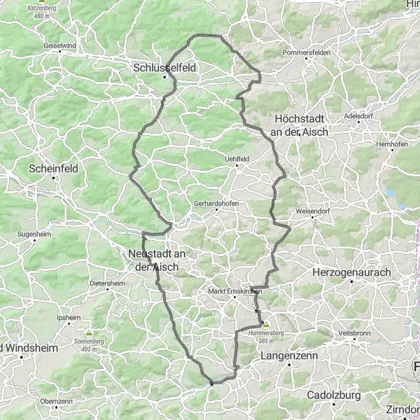
Experience a thrilling road cycling adventure with breathtaking views along this challenging route. With an ascent of 1137 meters and a total distance of 104 kilometers, this ride is suitable for well-trained amateurs seeking a demanding challenge. Explore the beauty of Markt Erlbach, Gutenstetten, Schlüsselfeld, and other spectacular highlights along the way. This route offers an epic cycling experience with its mix of scenic landscapes and exciting climbs.
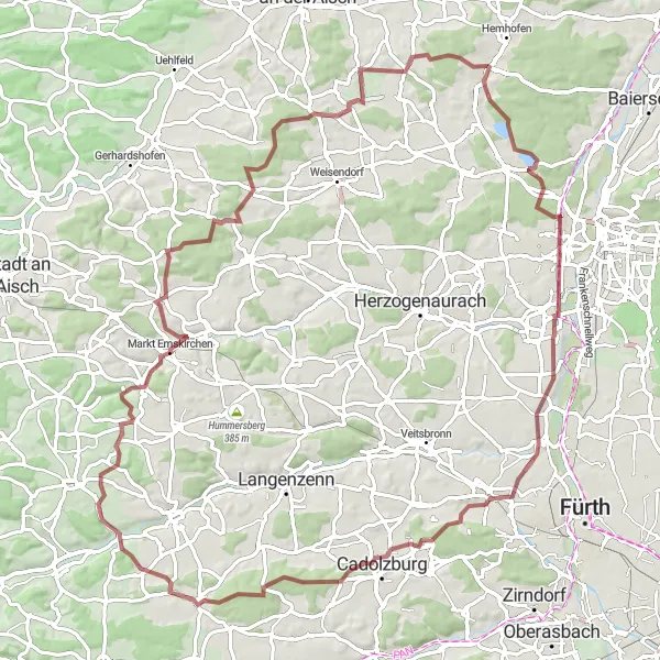
Wilhermsdorf Round
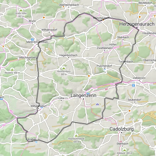
Enjoy a scenic ride through the beautiful landscapes around Adelsdorf, passing through the charming town of Wilhermsdorf.
The Wilhermsdorf Round is a 55-km road cycling route that takes you through picturesque countryside and highlights the natural beauty of the area. With a total ascent of 494 meters, this route offers a moderate challenge for cyclists.
Gravel Adventure
Embark on an off-road gravel adventure through scenic landscapes and charming villages.
The Gravel Adventure is a 44-km cycling route that takes you off the beaten path and onto gravel roads. With an ascent of 459 meters, this route offers a moderate challenge and the opportunity to explore the region's hidden gems.
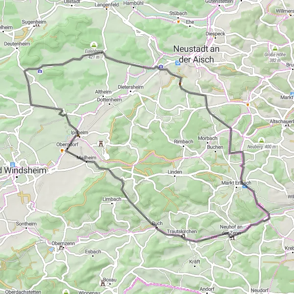
Venture into the picturesque Franconian countryside on gravel terrain
Venture into the picturesque Franconian countryside on this 57-kilometer gravel route. With an ascent of 535 meters, this ride offers a moderate challenge combined with idyllic natural beauty. Explore the highlights of Wilhermsdorf, Ammerndorf, Heilsbronn, and other scenic spots along the way. Immerse yourself in the tranquility of nature and soak up the charm of Franconia.
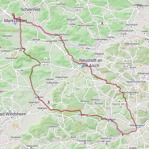
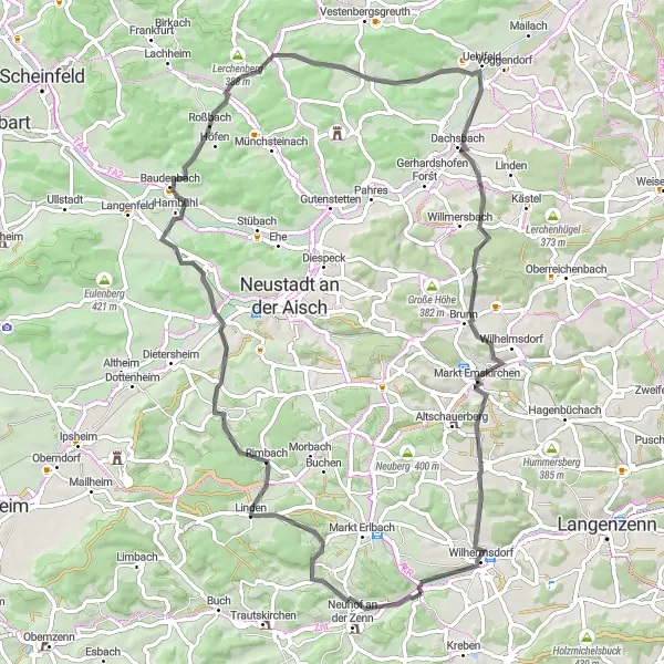
Cycle along picturesque landscapes and charming towns
Embark on a scenic cycling journey through the Franconian region, exploring charming towns and picturesque landscapes. This route offers a mix of gravel and road terrain, making it suitable for both adventure seekers and road cycling enthusiasts. With a total distance of 79 kilometers and an ascent of 715 meters, this ride offers a moderate challenge for well-trained amateurs. Experience the beauty of Markt Erlbach, Sonnenberg, Markt Bibart, and other highlights along the way.
Ansbach Adventure
Embark on an adventurous journey through scenic landscapes and discover the hidden treasures of Ansbach.
The Ansbach Adventure is a 73-km road cycling route that offers a thrilling experience for cyclists. With a challenging ascent of 793 meters, this route is perfect for those seeking a demanding and epic ride.
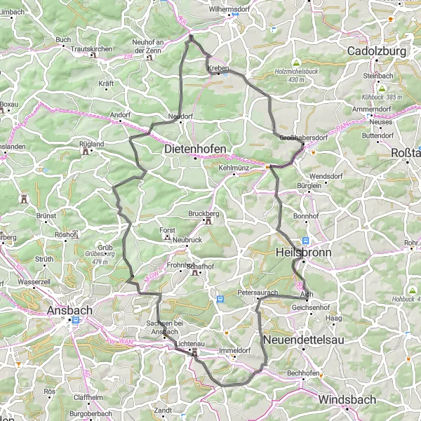
Kolmberg Loop
Take a ride through picturesque landscapes and uncover historical treasures along the way.
The Kolmberg Loop is a 59-km road cycling route that showcases the beauty of the region. With an ascent of 442 meters, this route provides a moderate challenge for cyclists.

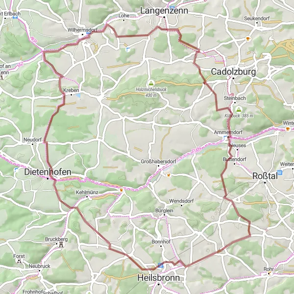
Enjoy a tranquil gravel ride amidst serene natural surroundings
Indulge in a tranquil gravel cycling experience amidst serene natural surroundings. This 50-kilometer route offers a peaceful adventure with an ascent of 489 meters, perfect for riders seeking a relaxed and scenic ride. Discover the beauty of Wilhermsdorf, Cadolzburg, Altkatterbach, and other highlights along the way. Admire the natural beauty and immerse yourself in the tranquility of the Franconian region.
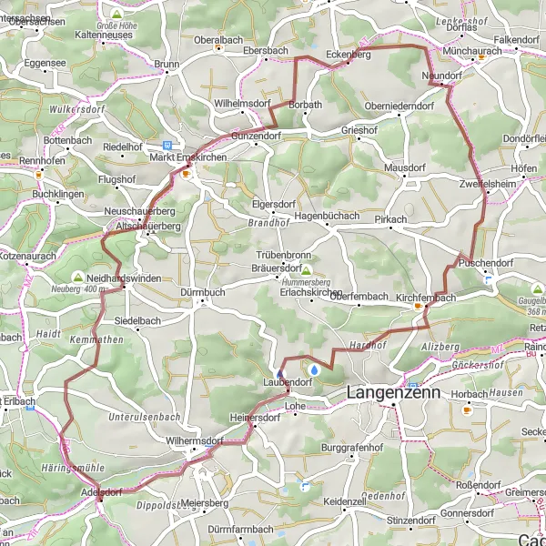
Embark on an off-road gravel adventure through scenic countryside
Embark on an adventure through scenic countryside on this off-road gravel route. Covering a distance of 92 kilometers and with an ascent of 869 meters, this ride offers a thrilling and diverse experience for gravel enthusiasts. Explore unique highlights such as Neuberg, Röttenbach, Cadolzburg, and other hidden gems along the way. This route combines challenging terrain with picturesque landscapes, making it an epic adventure for cyclists.
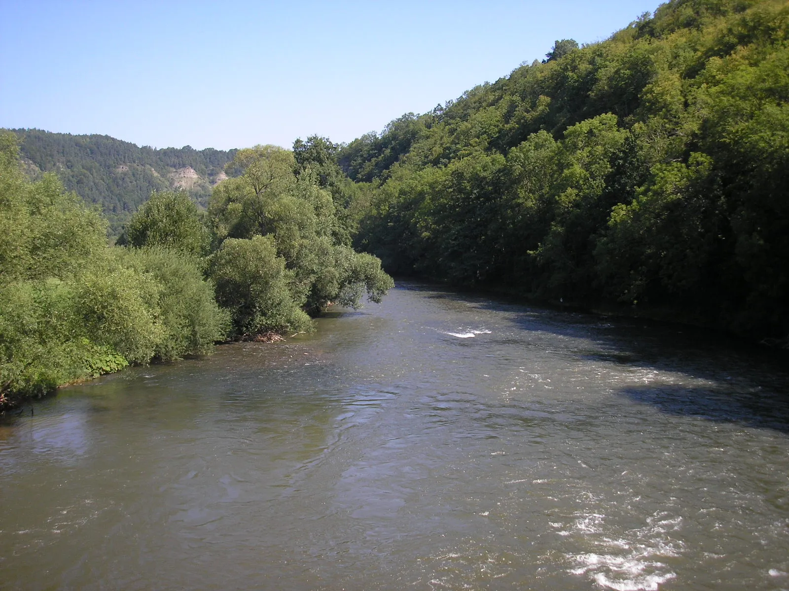
Embark on a scenic journey through the picturesque Zenn Valley, passing through charming towns and quaint villages.
The Zenn Valley Route is a 74-km road cycling adventure that takes you through the beautiful landscapes of Mittelfranken. With a challenging ascent of 722 meters, this route is suitable for experienced cyclists looking for a rewarding challenge.
Cycling routes nearby:
Nearby regions: