Wilhermsdorf Round
A road cycling route starting from Adelsdorf
Enjoy a scenic ride through the beautiful landscapes around Adelsdorf, passing through the charming town of Wilhermsdorf.
Map
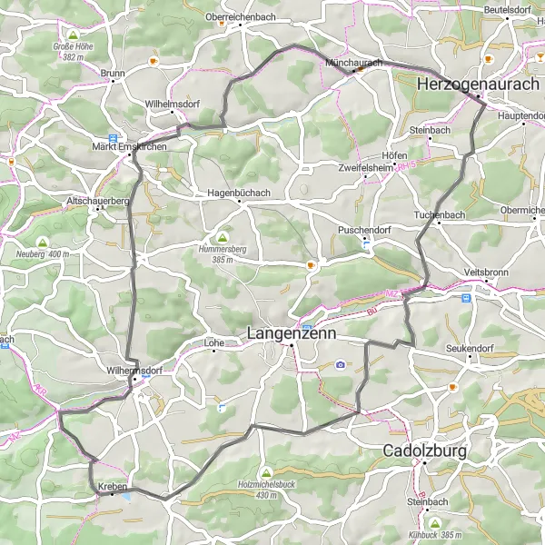
The Wilhermsdorf Round is a 55-km road cycling route that takes you through picturesque countryside and highlights the natural beauty of the area. With a total ascent of 494 meters, this route offers a moderate challenge for cyclists.
road
55 km
494 m
Tough
Route profile
Highlights on the route
0 km
0 km
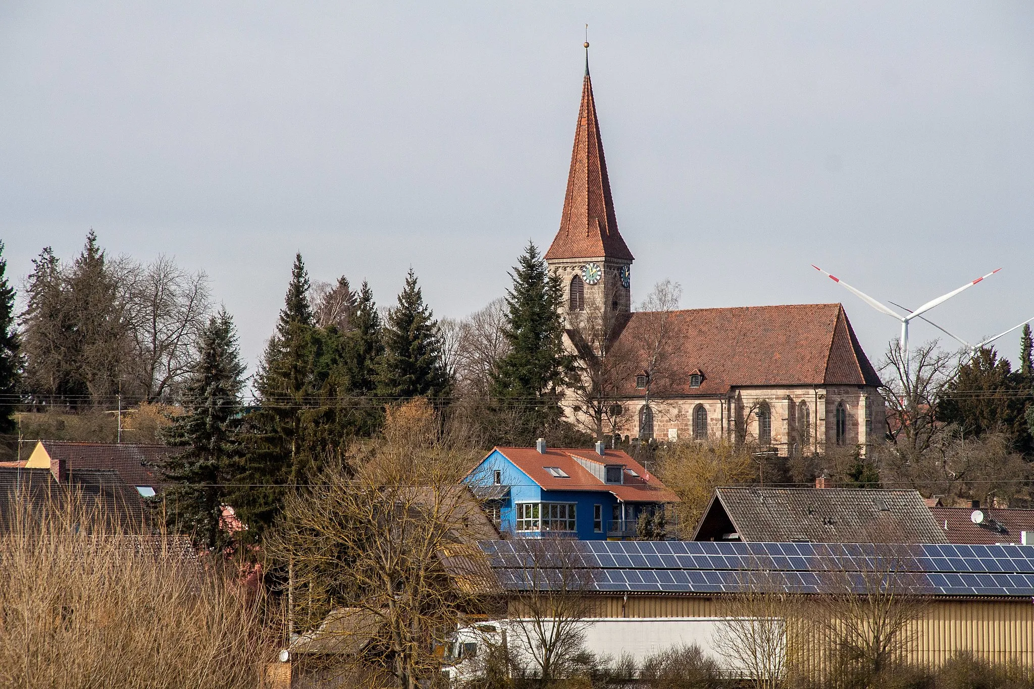
Start: Adelsdorf Village centerAdelsdorf: Nature's cycling paradise in Mittelfranken
Adelsdorf, located in the Mittelfranken region of Germany, offers diverse cycling routes for road and gravel cyclists. The locality is surrounded by beautiful countryside and forests, providing a peaceful and scenic environment for cycling. Cyclists can explore the Franconian Switzerland Nature Park, which is known for its hilly landscapes and striking rock formations. A notable cycling spot nearby is the Ochsenkopf mountain, offering challenging climbs and stunning views from the top.3 km
3 km
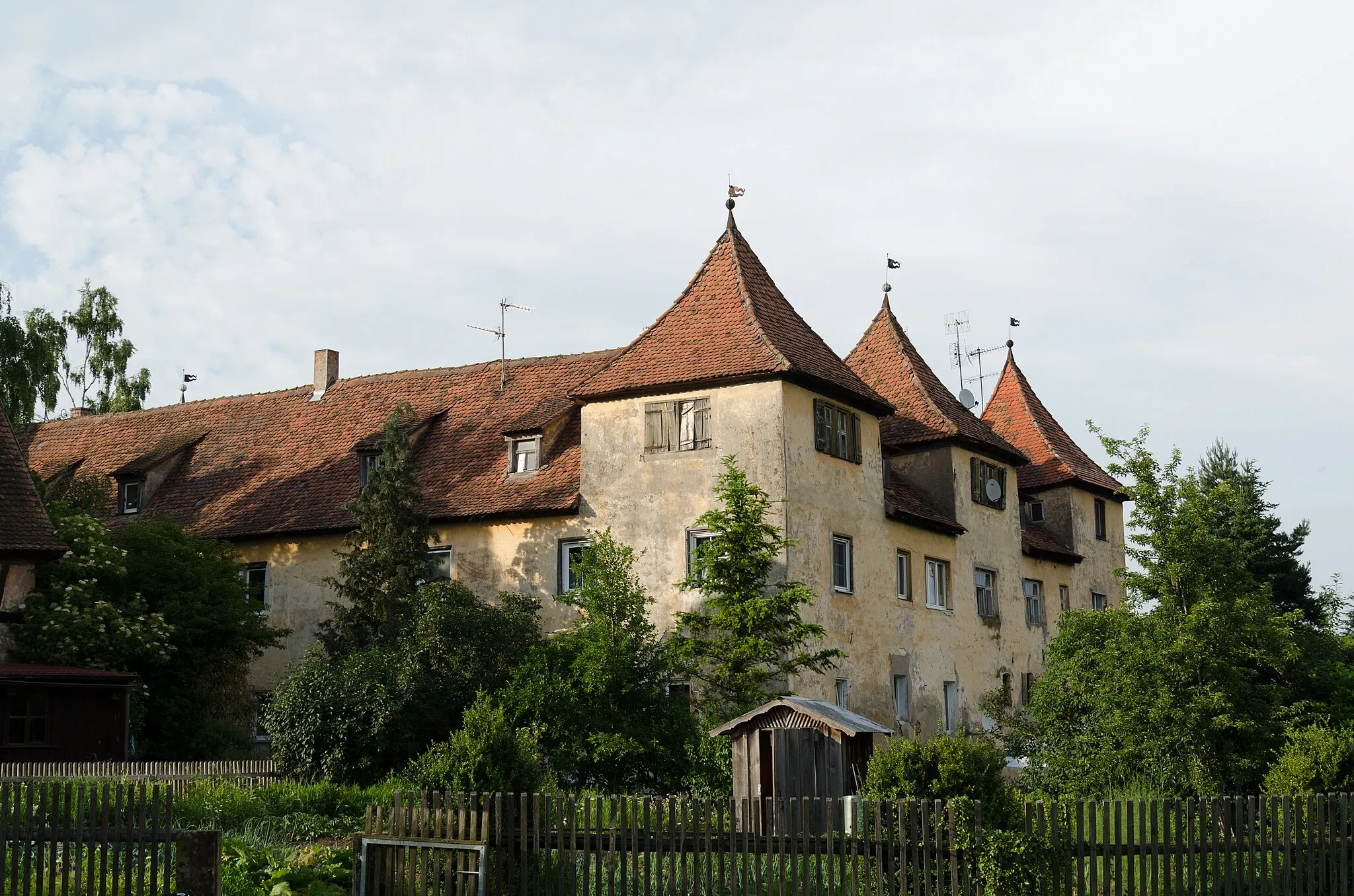
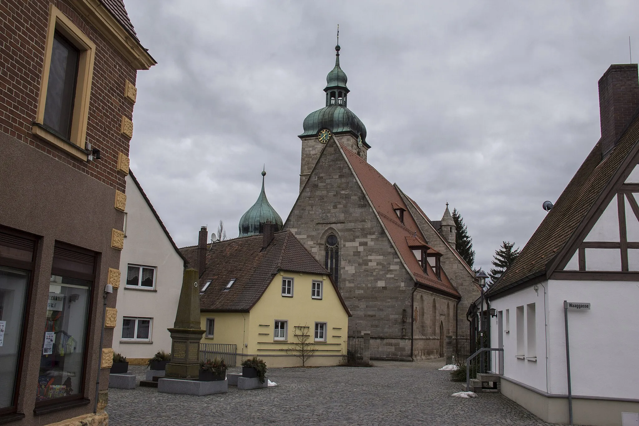
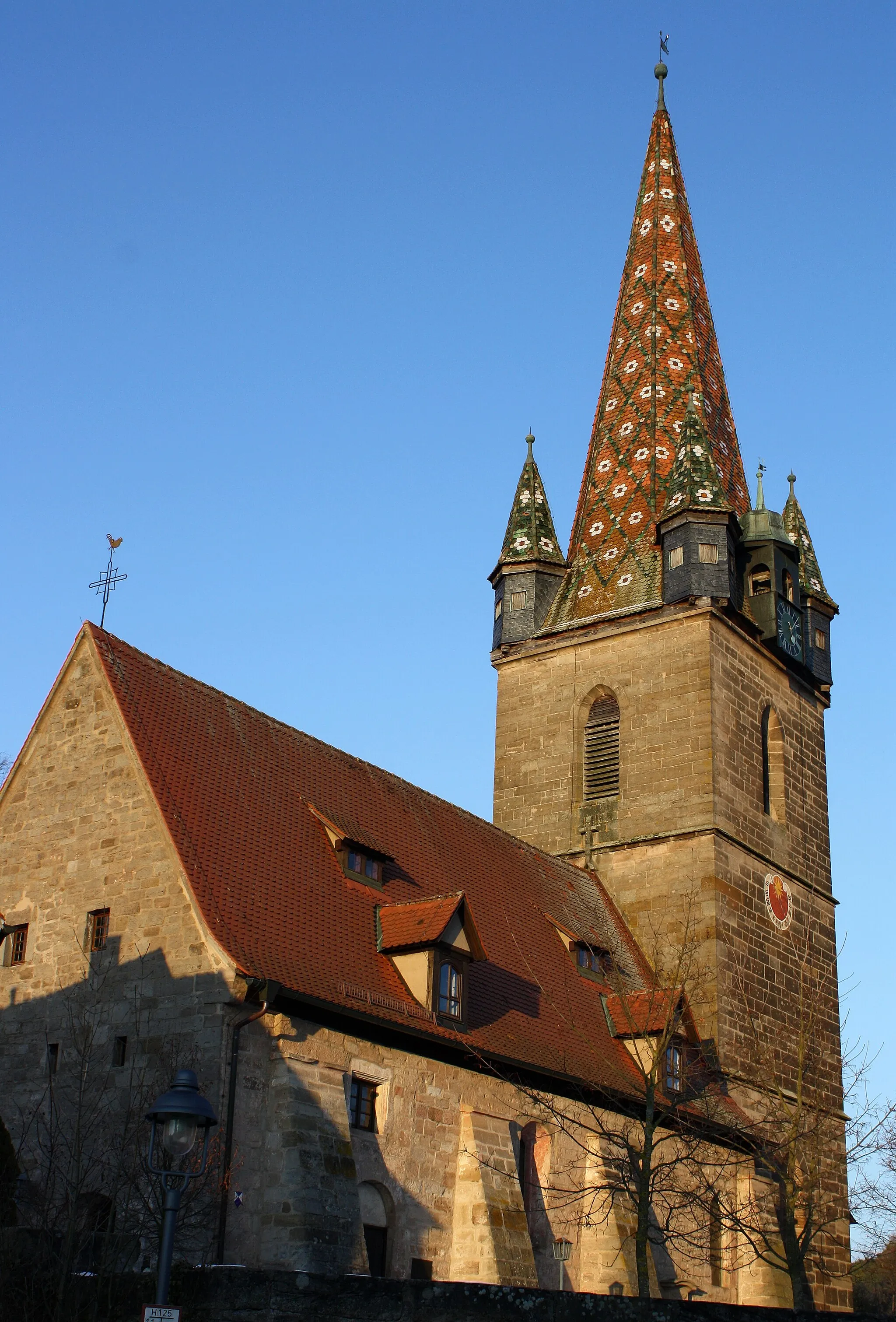
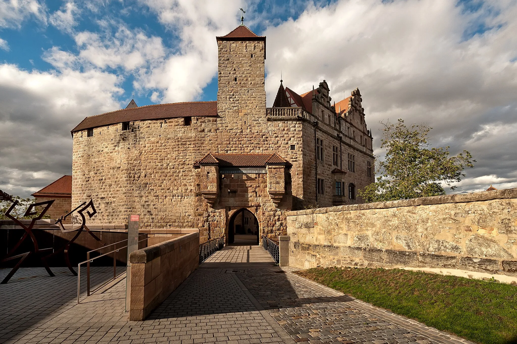
WilhermsdorfVillageExplore the historic town of Wilhermsdorf, known for its well-preserved buildings and quaint atmosphere.
14 km
14 km
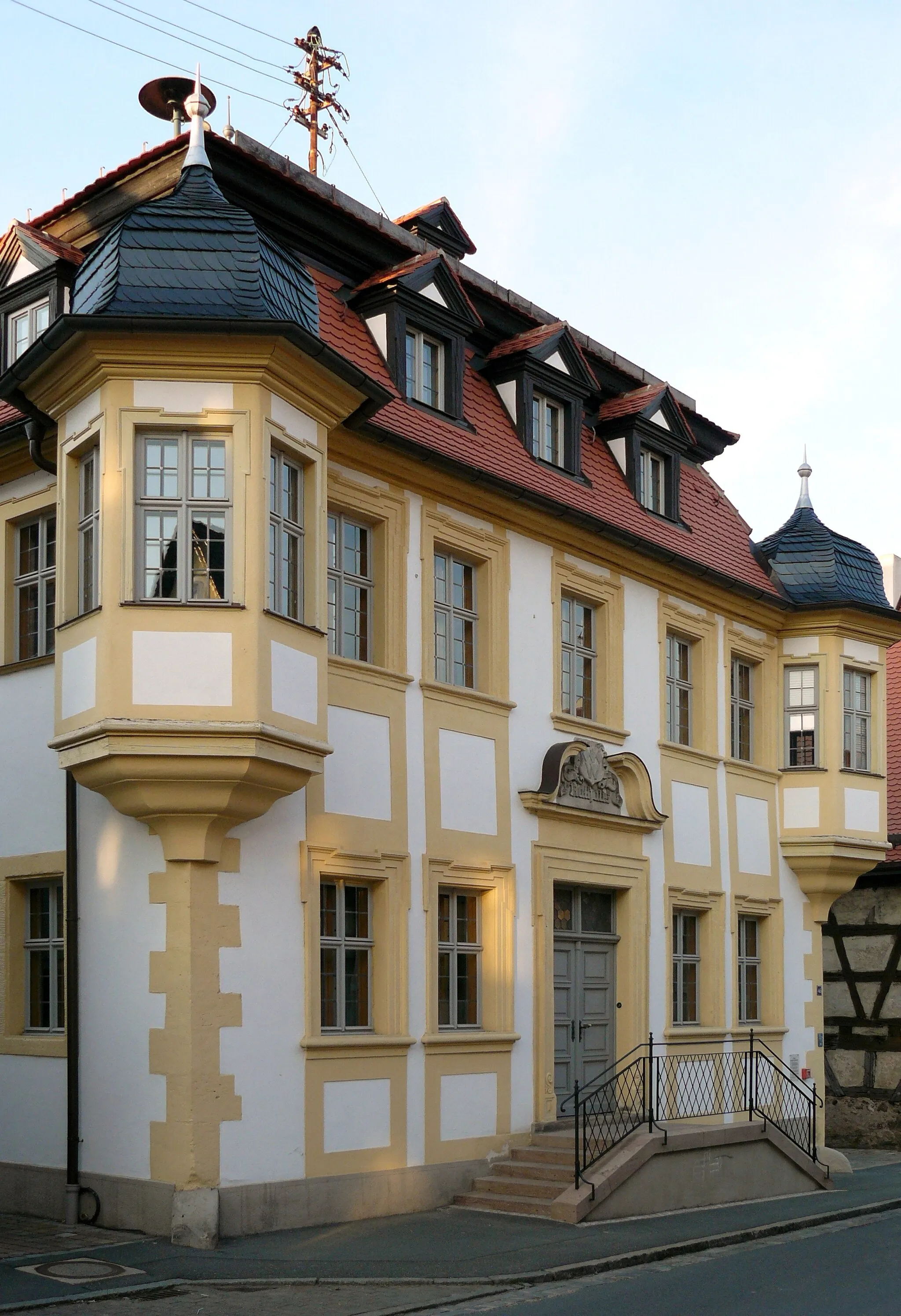
WilhelmsdorfVillageVisit the lovely village of Wilhelmsdorf and take in the beautiful surrounding views.
24 km
24 km
Schwelgenberg327 mPeakClimb the Schwelgenberg and enjoy panoramic views of the surrounding countryside.
31 km
31 km
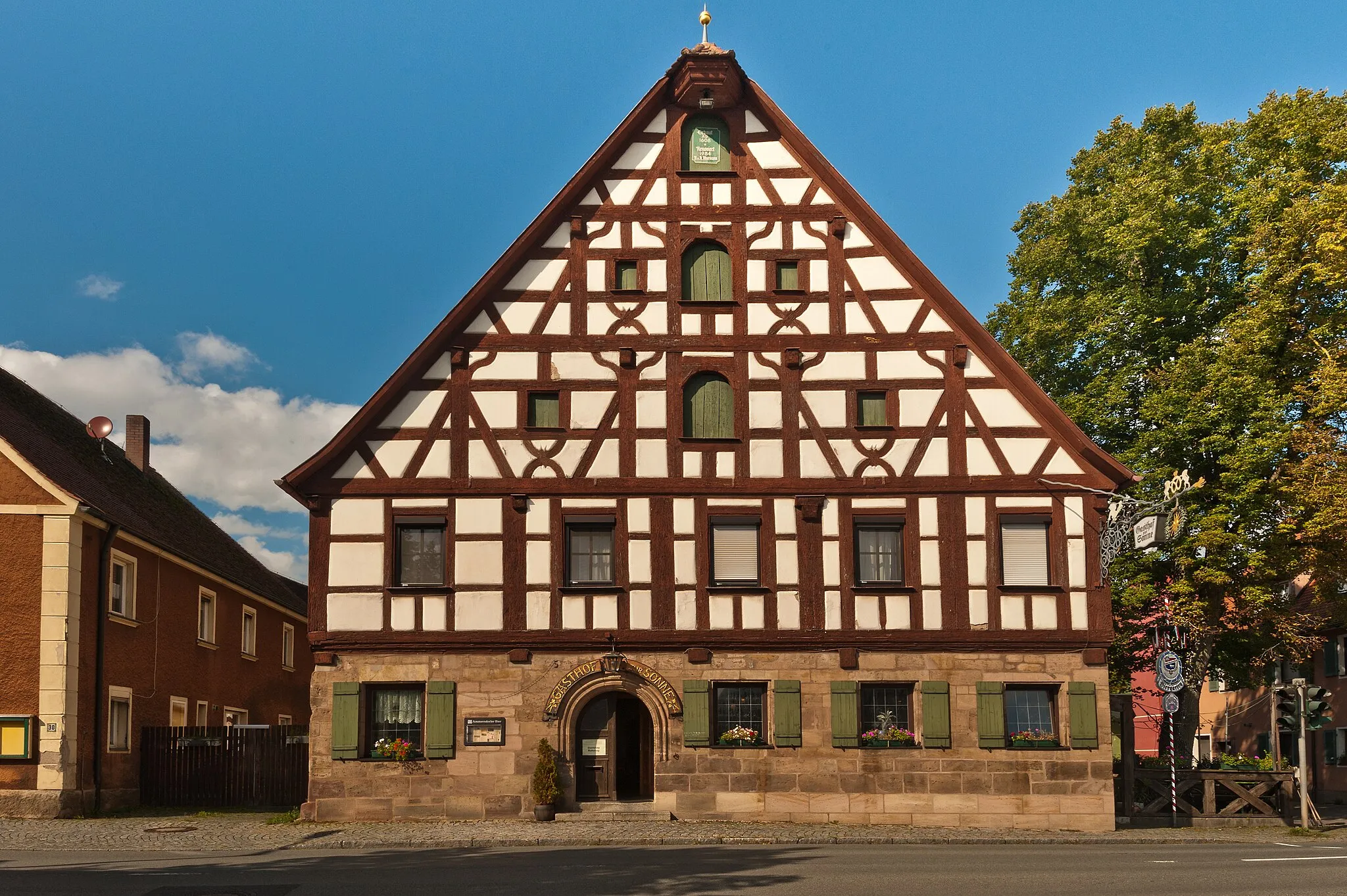
TuchenbachVillagePass through Tuchenbach, a charming village known for its traditional half-timbered houses.
43 km
43 km
Dillenberghöhe am Druidenstein422 mPeakMarvel at the impressive Dillenberghöhe am Druidenstein, a rocky outcrop with ancient mystical associations.
45 km
45 km
KeidenzellVillageDiscover the peaceful village of Keidenzell and enjoy a rest by its picturesque pond.
53 km
53 km
Mauserbuck382 mPeakAdmire the Mauserbuck viewpoint, which offers stunning vistas of the surrounding landscapes.
55 km
55 km
Finish: Adelsdorf Village centerAdelsdorf: Nature's cycling paradise in Mittelfranken
Cycling routes from Adelsdorf:
Cycling routes nearby: