A cycling paradise with stunning lake views and off-road trails.
Cycling routes from Georgensgmund
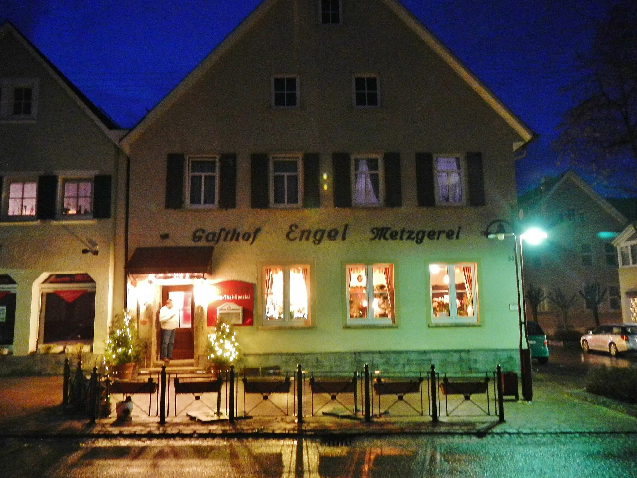
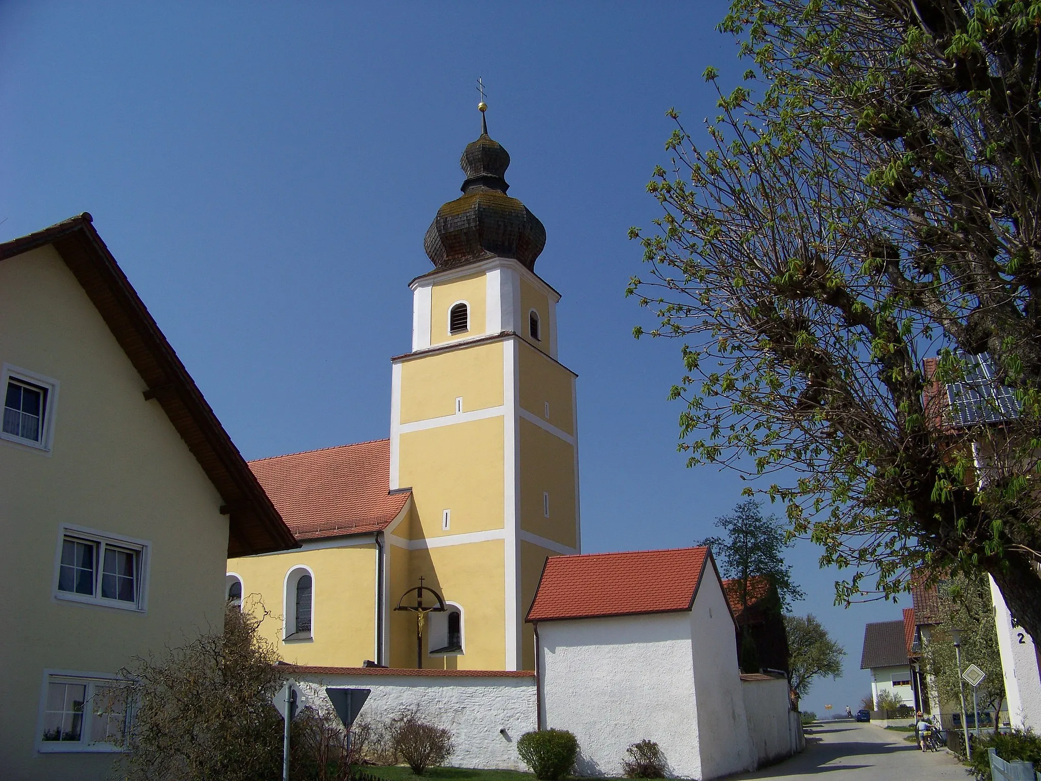
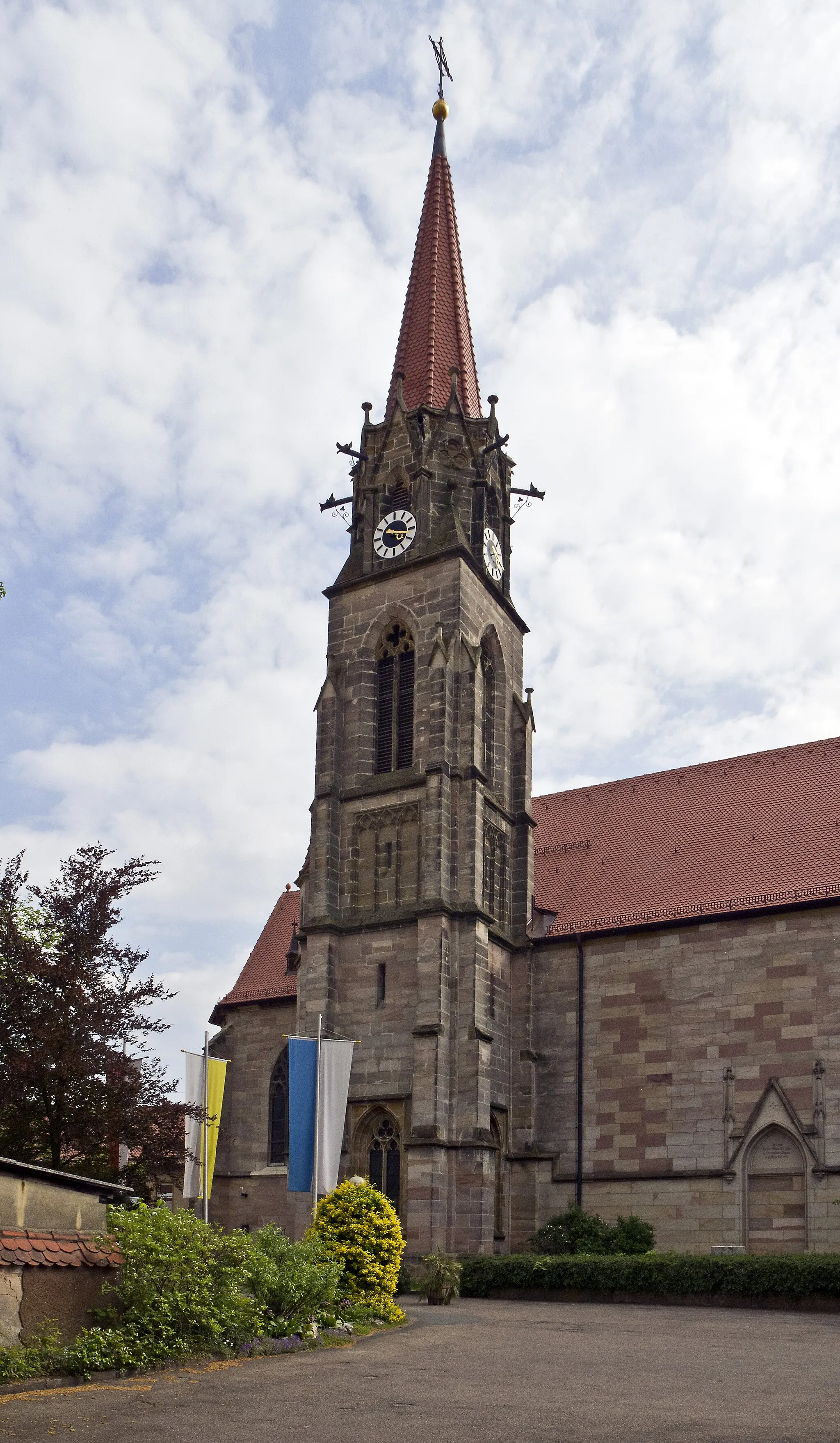
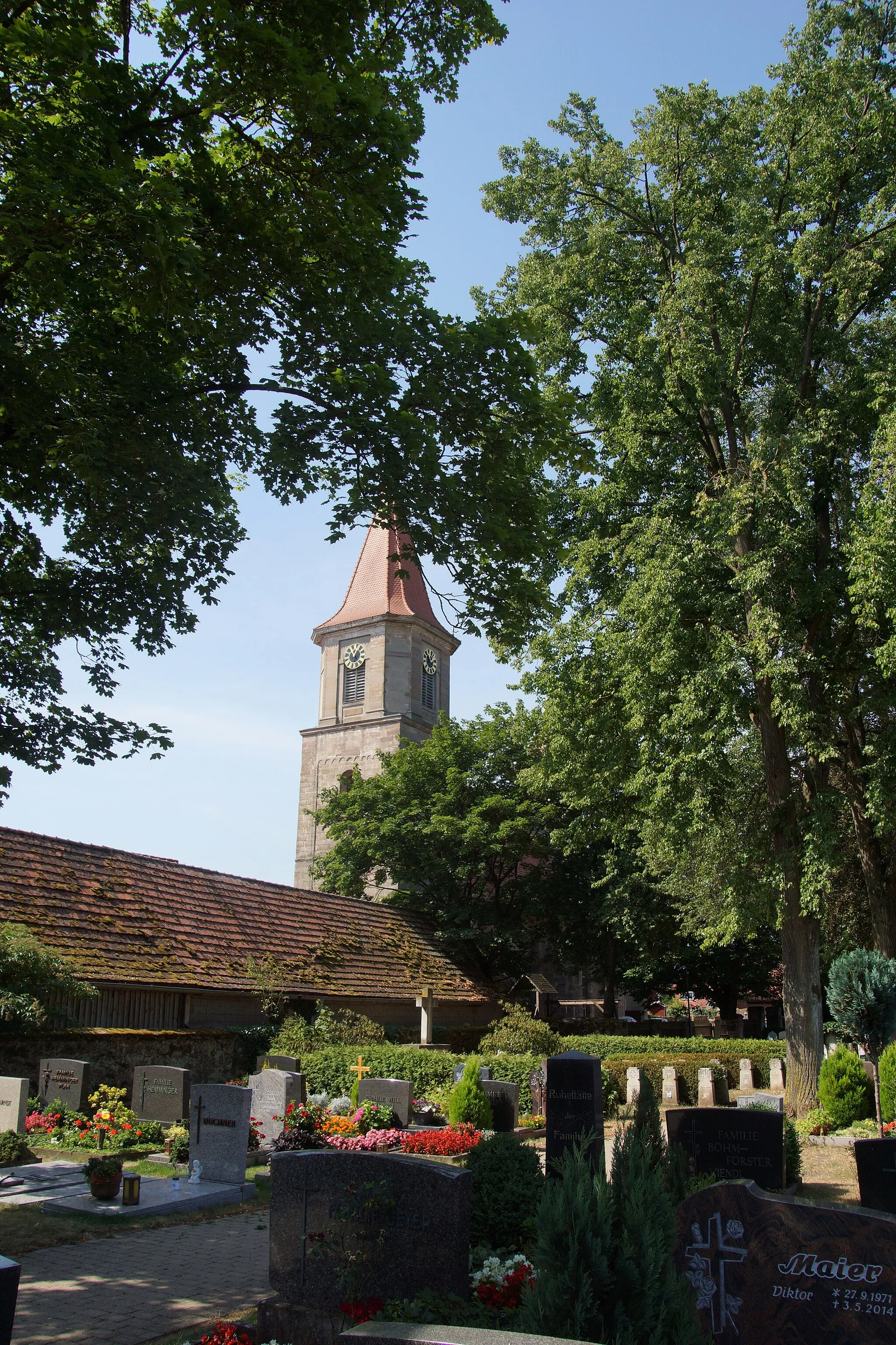
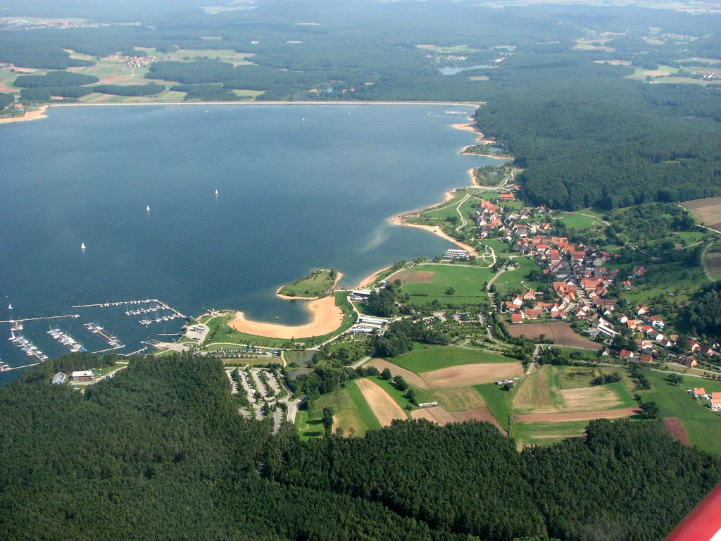
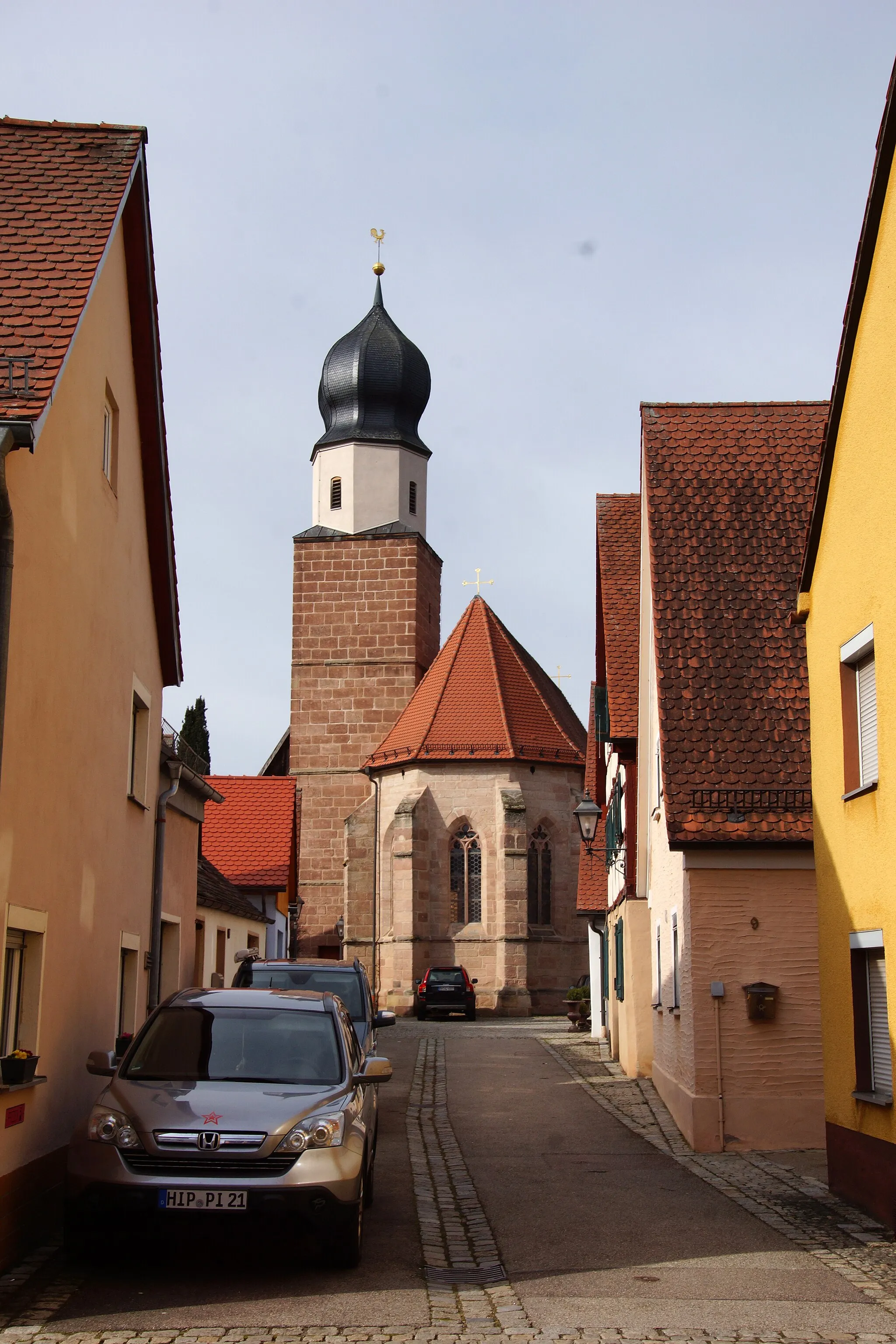
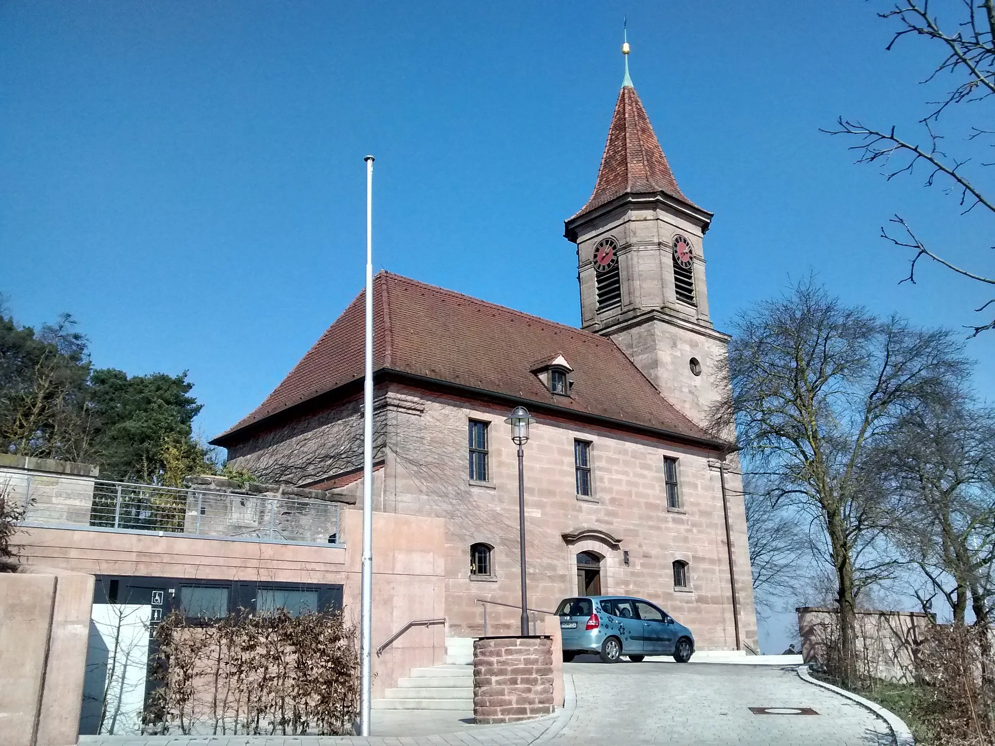
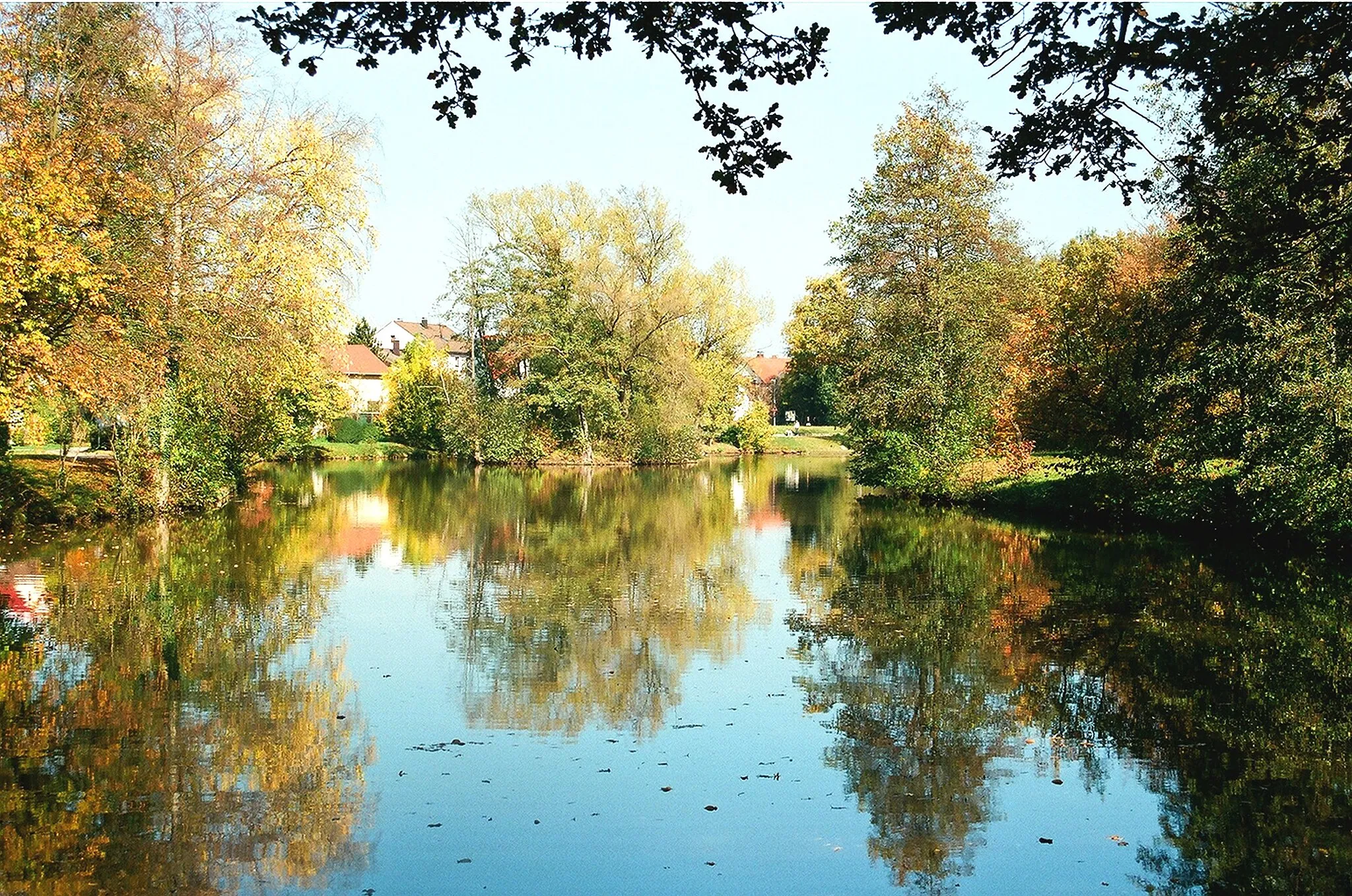
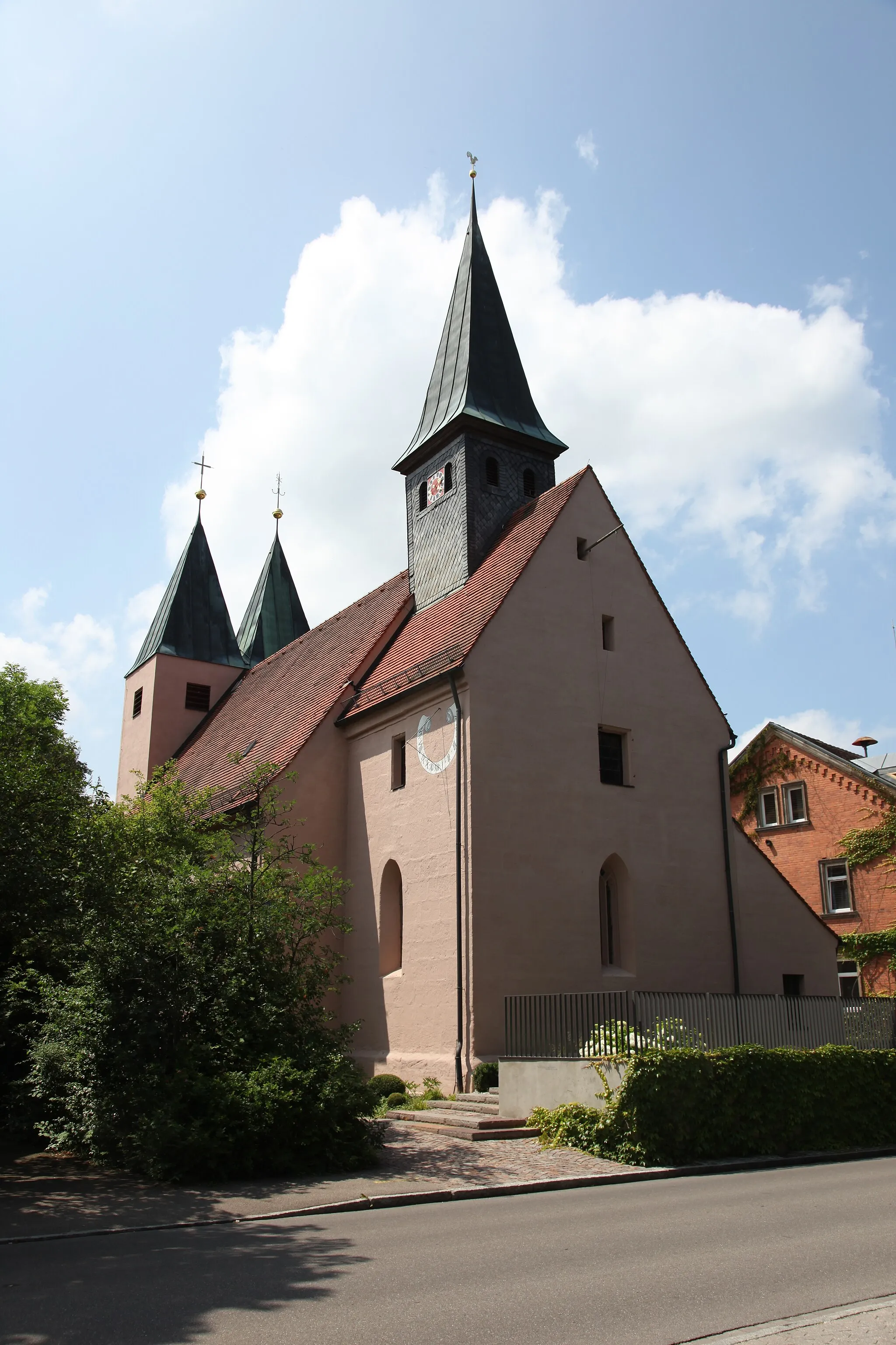
Georgensgmünd in Mittelfranken, Germany is a cyclist-friendly locality with a rich cycling culture. The area offers a well-developed network of cycling paths and routes suitable for both road and gravel cyclists. Cyclists can explore the picturesque Franconian Lake District and enjoy beautiful views of lakes and forests. Notable cycling spots nearby include Altmühltal, offering stunning scenic routes along the river, and the Reichswald Forest, known for its challenging off-road trails. With its well-maintained cycling infrastructure and captivating landscapes, Georgensgmünd is a top destination for cyclists.
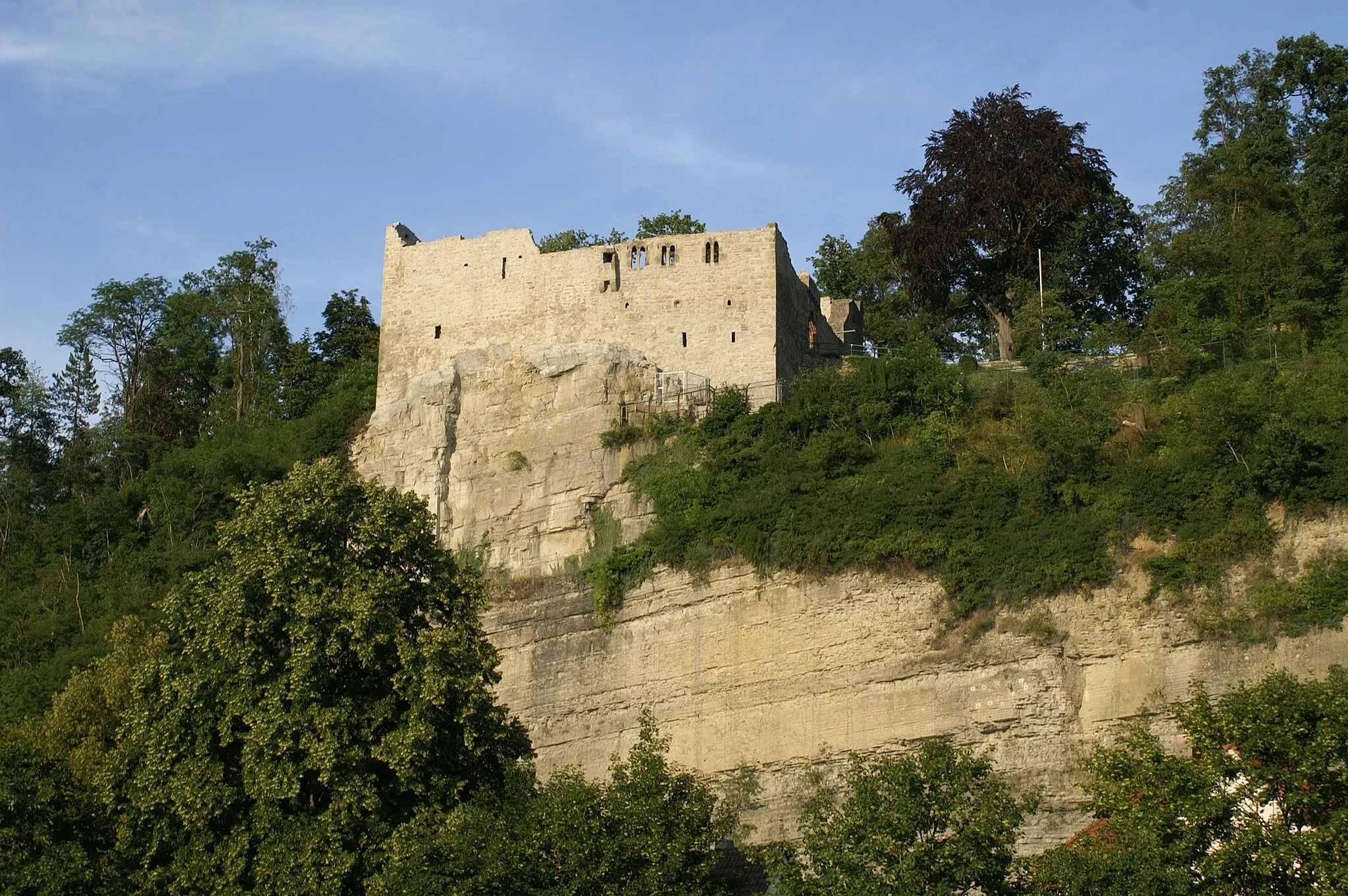
Embark on a gravel adventure to Schloss Ratibor
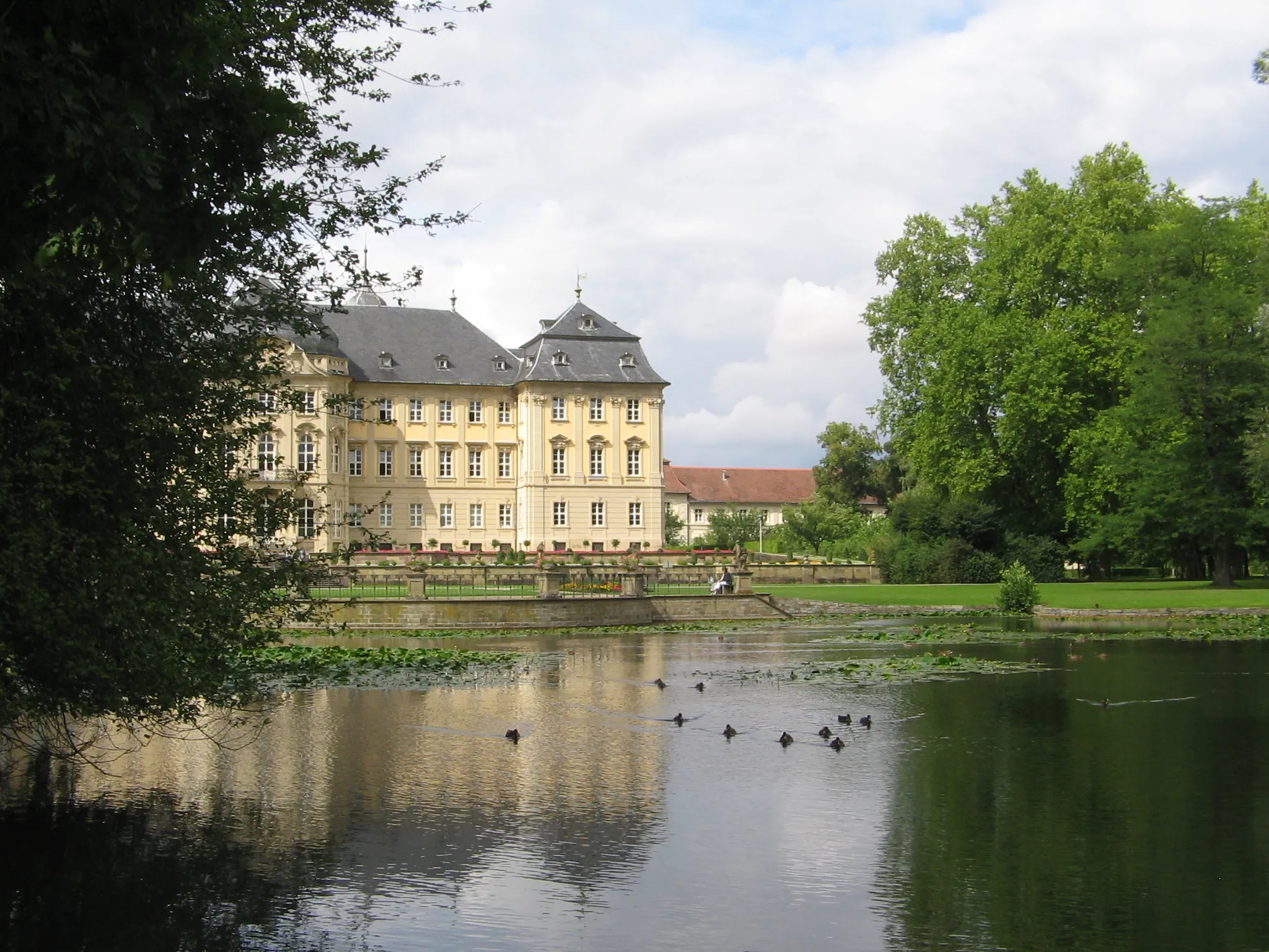
Experience a thrilling gravel adventure as you ride from Georgensgmünd to Schloss Ratibor on this picturesque route. With a moderate level of difficulty, the route is suitable for well-trained amateur cyclists. Along the way, you will pass through the charming village of Bernlohe and enjoy stunning views of the countryside. Highlights include Schloss Ratibor, a majestic castle with a fascinating history, and Petersgmünd, a peaceful town known for its serene atmosphere and historic buildings. With relatively short distance and diverse highlights, this route is perfect for cyclists looking for a memorable day trip.
The Gravel Adventure
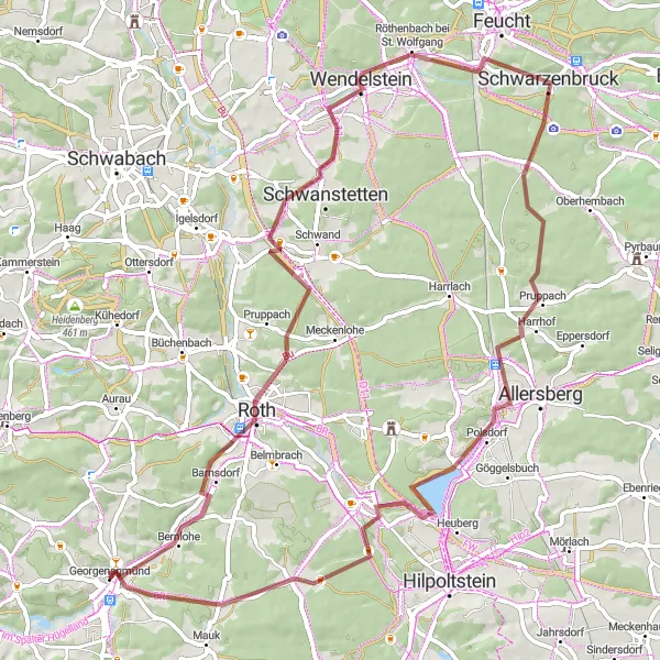
Discover the unexplored gravel roads around Georgensgmünd
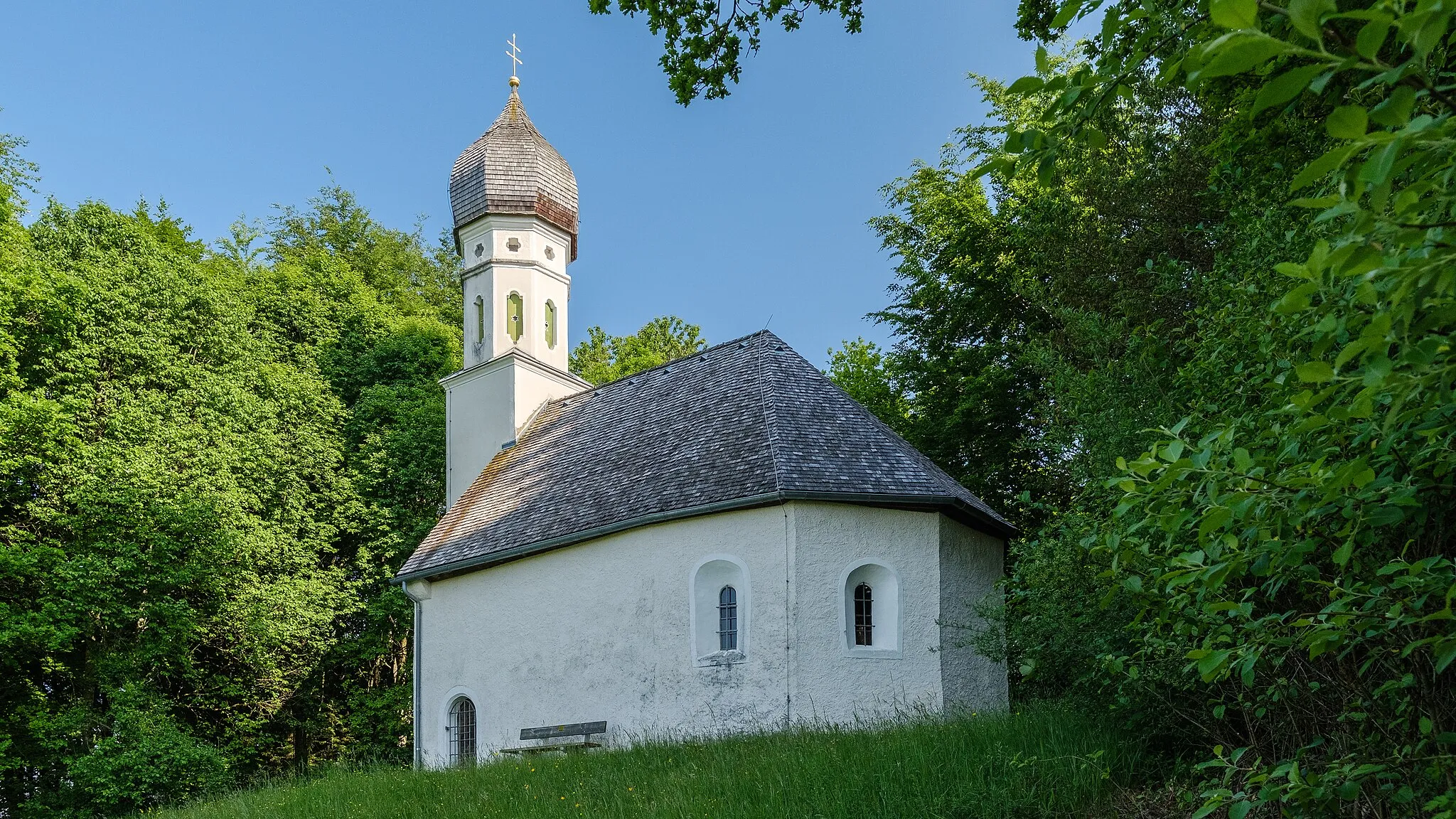
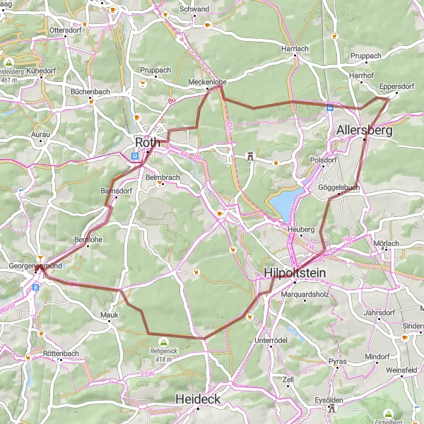
This challenging 60 km gravel route takes you on an adventure through the beautiful countryside near Georgensgmünd. With a total ascent of 668 meters, be prepared for some tough climbs and rewarding descents. Explore hidden gems like Hörlberg, known for its panoramic views, Wasserzell with its picturesque surroundings, and the historical Furthmühle. Make sure to stop by Haundorf and Pfaffenbühl, where you can admire the beautiful architecture and immerse yourself in the local culture. End your journey at Bühl, a country-wide famous spot for its stunning landscapes.
Scenic gravel route with a climb to the Bärenberg mountain
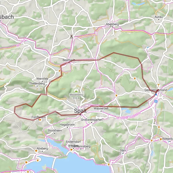
Take a scenic ride on this gravel route that includes a challenging climb to the Bärenberg mountain. With a total ascent of 361m and a distance of 34km, this loop is suitable for intermediate-level riders. Enjoy the beautiful views as you pedal through the picturesque Beerbach area.
Georgensgmünd Road Ride
Discover the Galgenberg hill and the historic town of Ratibor Castle on this road ride
Embark on a 62km road ride starting from Georgensgmünd. This route features a variety of landscapes and includes notable attractions such as Galgenberg hill and Ratibor Castle. With 622m of ascent, this ride is moderately challenging and suitable for experienced cyclists.
Discover the scenic landscapes around Roth on this gravel adventure
Embark on a gravel adventure exploring the scenic landscapes around Roth. With a distance of 46km and an ascent of 400m, this route offers a moderate challenge for gravel enthusiasts. Enjoy the tranquil surroundings and varied terrain as you cycle through the Altenfelden area and take in the panoramic views.
Muhr am See Road Loop
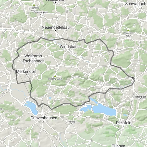
Scenic ride around Muhr am See, passing through Großbreitenbronn and Burg Abenberg
Experience the beauty of Muhr am See and its surroundings on this scenic road loop. With a length of 79km and a total ascent of 627m, this ride is suitable for experienced cyclists. Enjoy scenic countryside views as you pedal through the charming towns of Großbreitenbronn and Burg Abenberg.
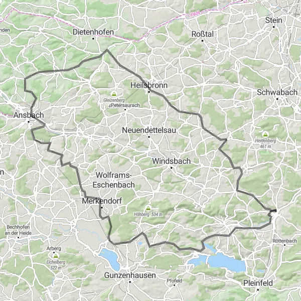
Scenic ride through the Ansbach area, with highlights including Burg Abenberg and Geyersberg
Discover the historical charm of the Ansbach area on this 114km road ride. With an ascent of 953m, this route is suitable for experienced cyclists who enjoy challenging climbs. Explore highlights such as Burg Abenberg and Geyersberg, and experience the rich cultural heritage of this region.
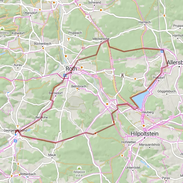
Explore the scenic route towards Ratibor Castle
This round trip takes you through breathtaking landscapes, from Georgensgmünd to Ratibor Castle. Enjoy the gravel paths as you navigate your way through dense forests and beautiful countryside. The route offers a moderate difficulty level, making it suitable for well-trained amateur cyclists. With a series of highlights along the way, including the impressive Schloss Ratibor, this route is perfect for nature enthusiasts and history buffs.

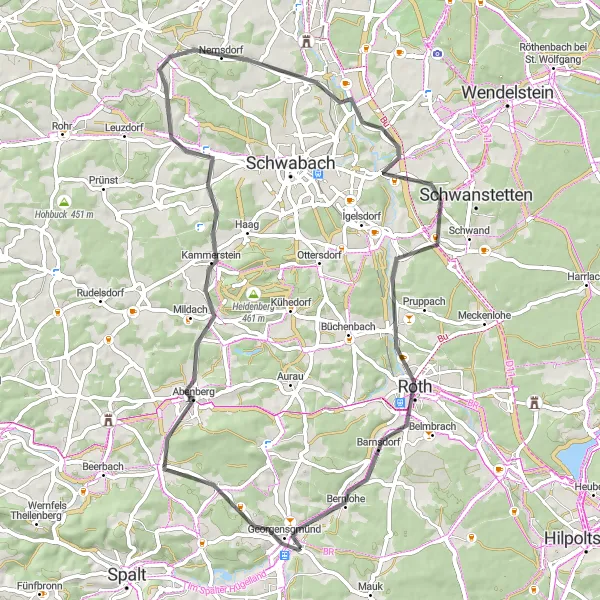
Cycle through picturesque landscapes on this gravel loop
Embark on a thrilling gravel cycling adventure through picturesque landscapes, from Georgensgmünd to Abenberg and Schwabach. This challenging route is suitable for experienced amateur cyclists who enjoy off-road cycling. Highlights include Abenberg, a medieval town with a well-preserved castle, and Aurau, a hidden gem known for its idyllic charm. Experience the rugged beauty of Wolfsbuck, a natural preserve with stunning views, and stop by Schwabach, a historic city famous for its goldsmith tradition. Enjoy the diverse highlights and scenic views along this gravel loop, making it perfect for adventure-seeking cyclists.
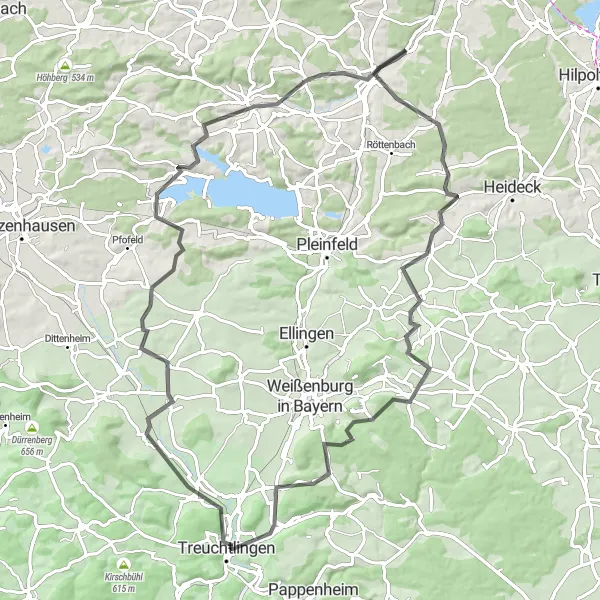
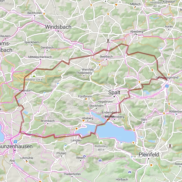
A scenic road cycling route showcasing the historical landmarks and natural beauty of Mittelfranken
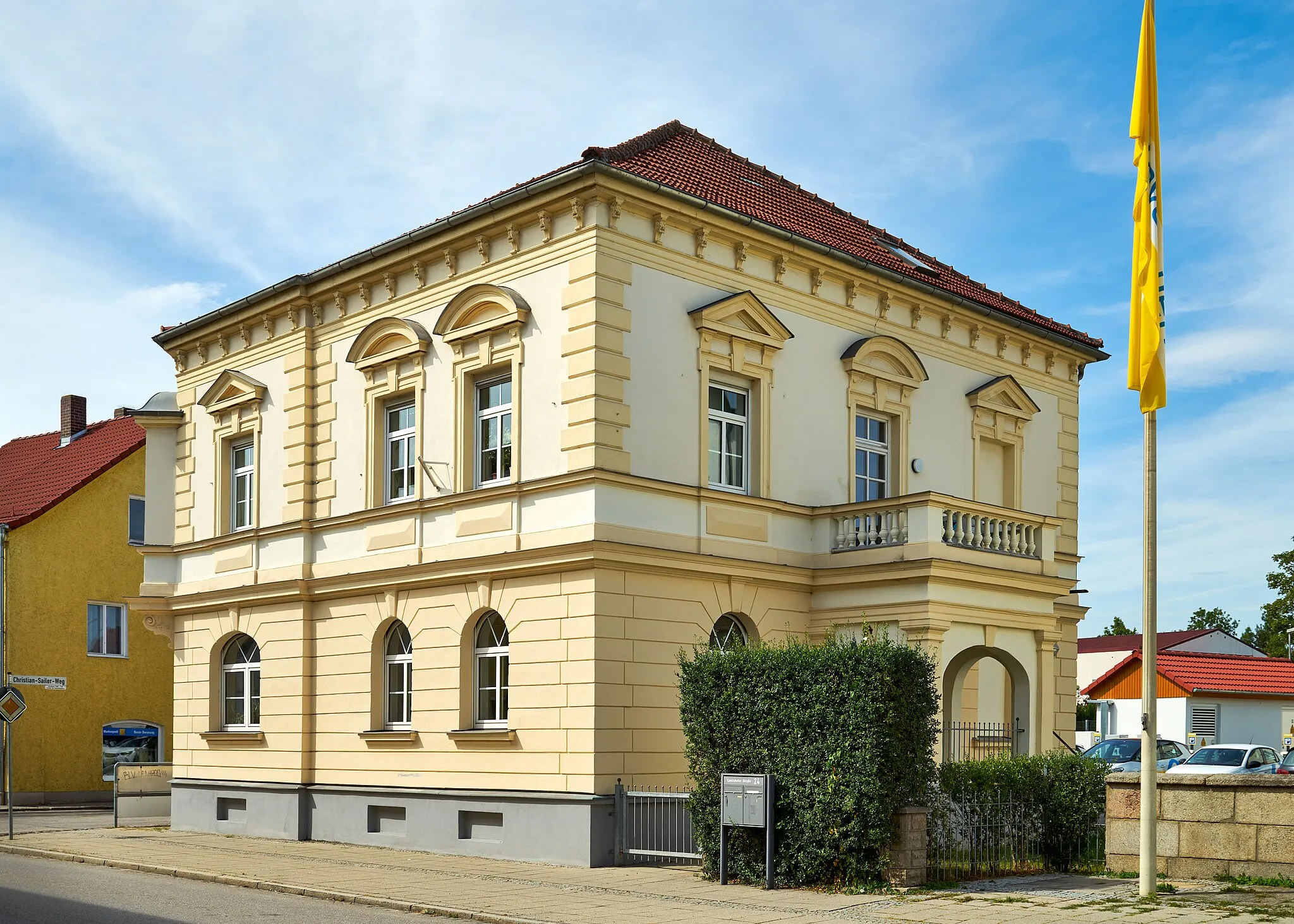
This 89 km road cycling route takes you on a historical journey through the beautiful region of Mittelfranken. Starting from Georgensgmünd and heading towards Oberheckenhofen, you'll pass through tranquil countryside and charming towns. Highlights along the way include the Oberheckenhofen, an idyllic village with traditional half-timbered houses, the Aussichtsplattform offering breathtaking panoramic views of the surrounding hills, and Treuchtlingen, a picturesque town nestled in the Altmühltal Nature Park. With a total ascent of 948 meters, this route offers a moderate challenge for seasoned cyclists. Enjoy the epicness of the route as you discover the rich history and stunning landscapes of Mittelfranken.
Cycling routes nearby:
Nearby regions: