Urban-Rural Blend with Diverse Cycling Opportunities
Cycling routes from Rednitzhembach
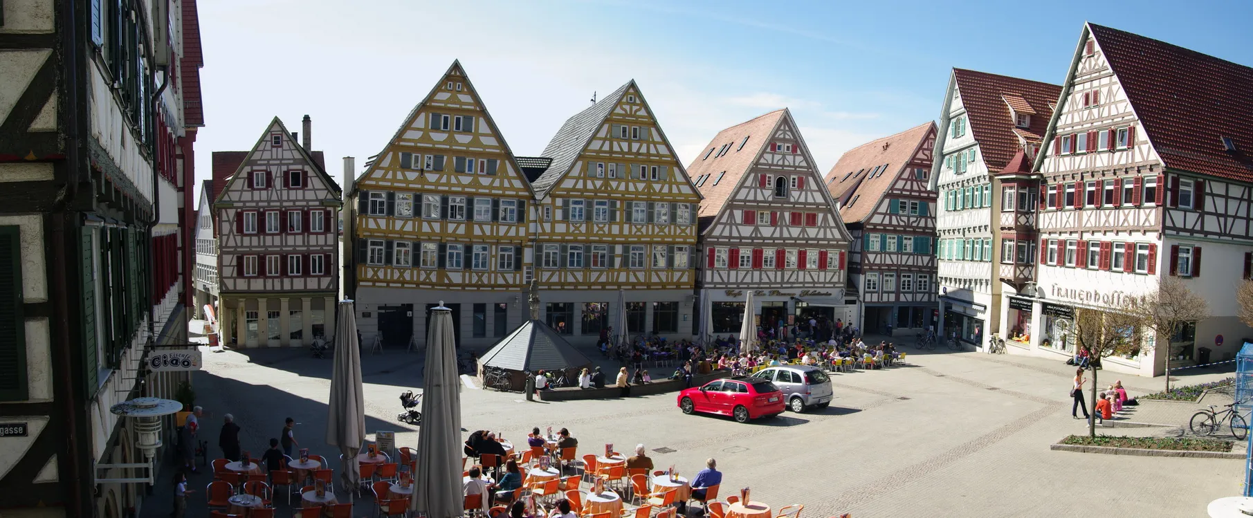
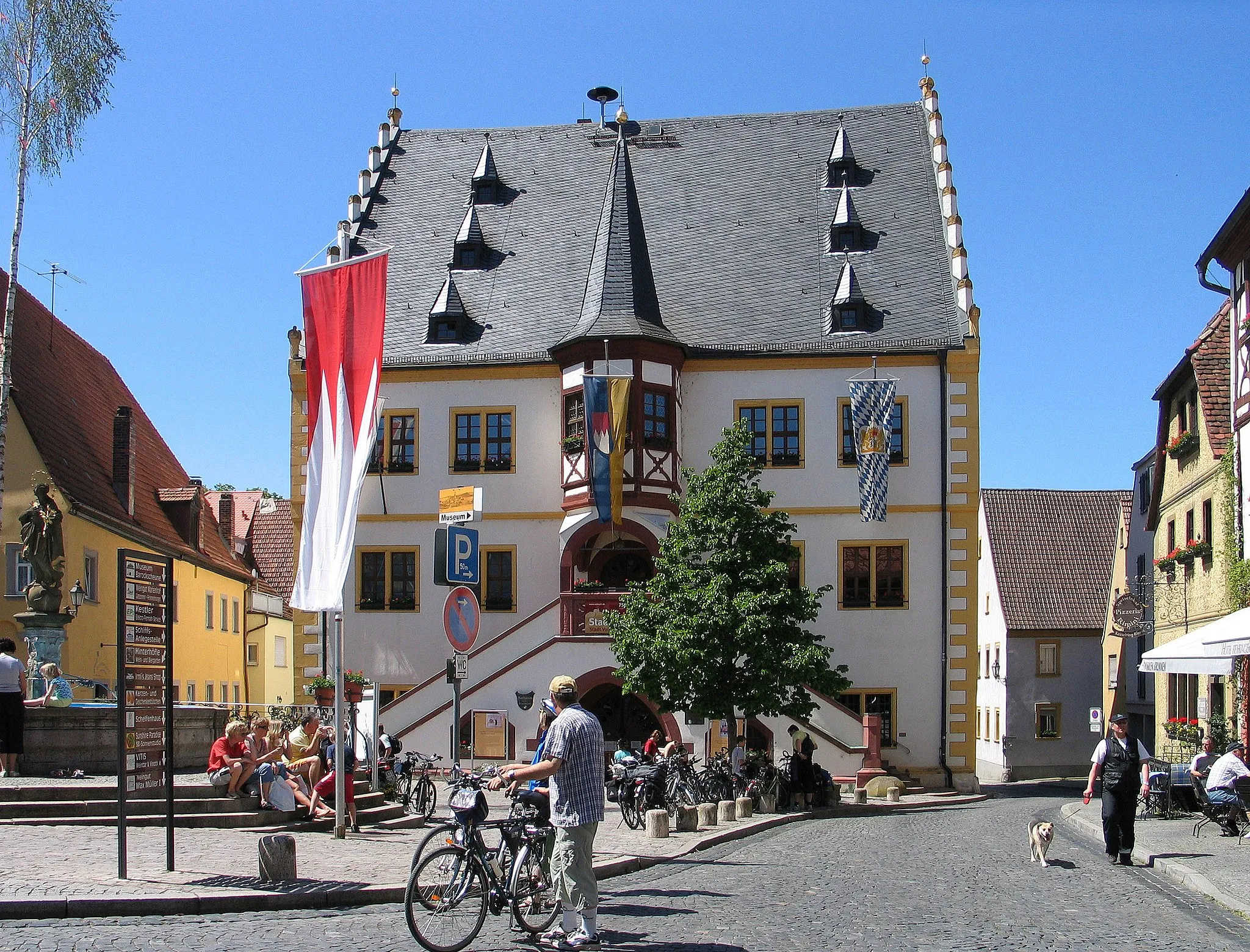
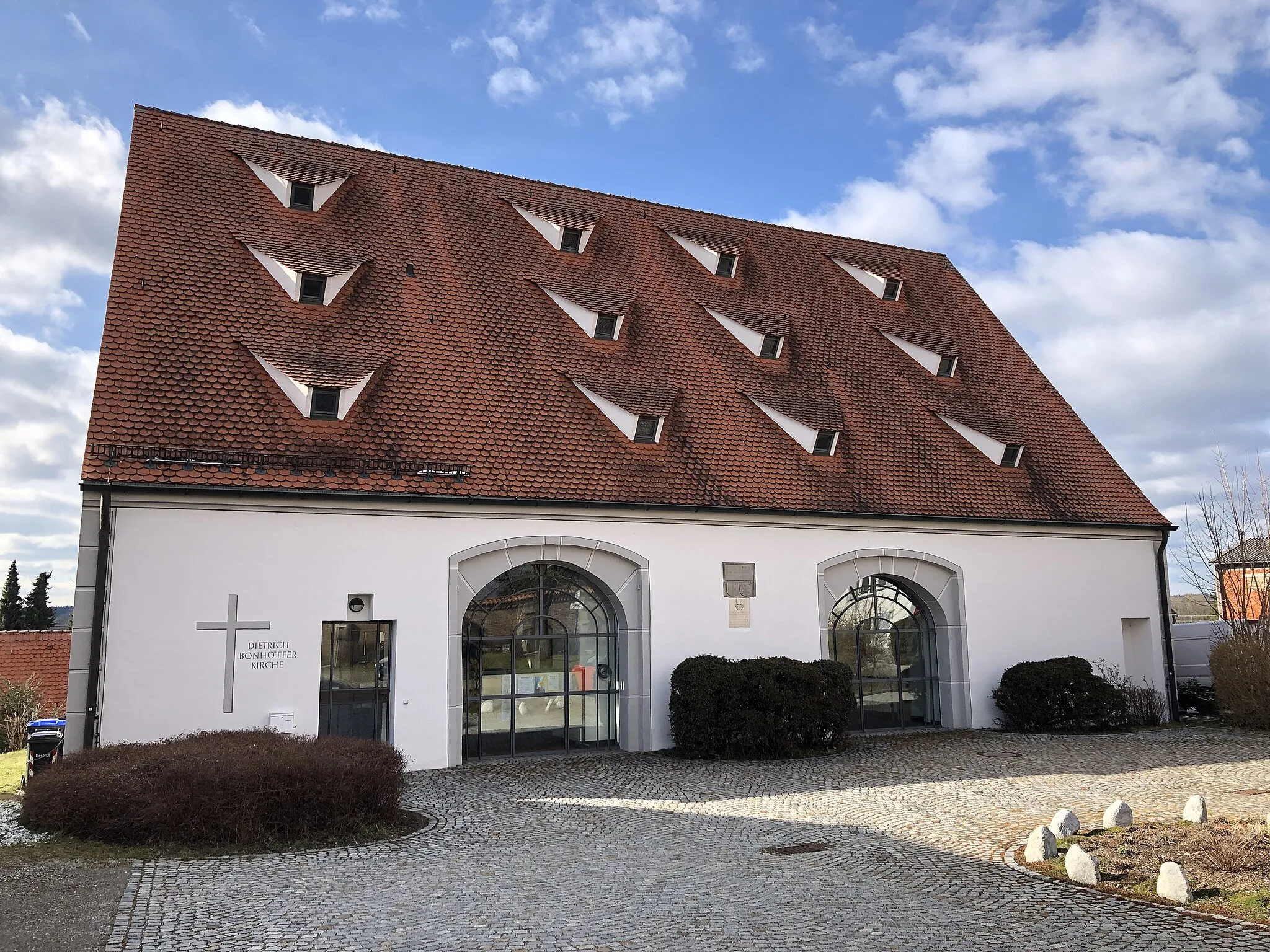
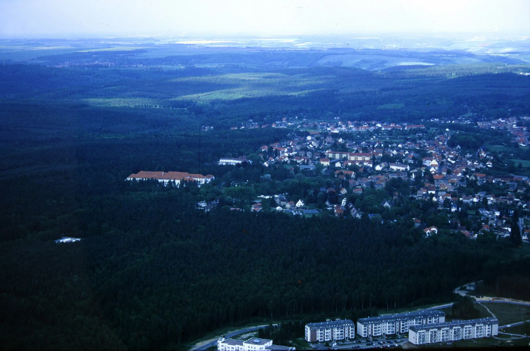
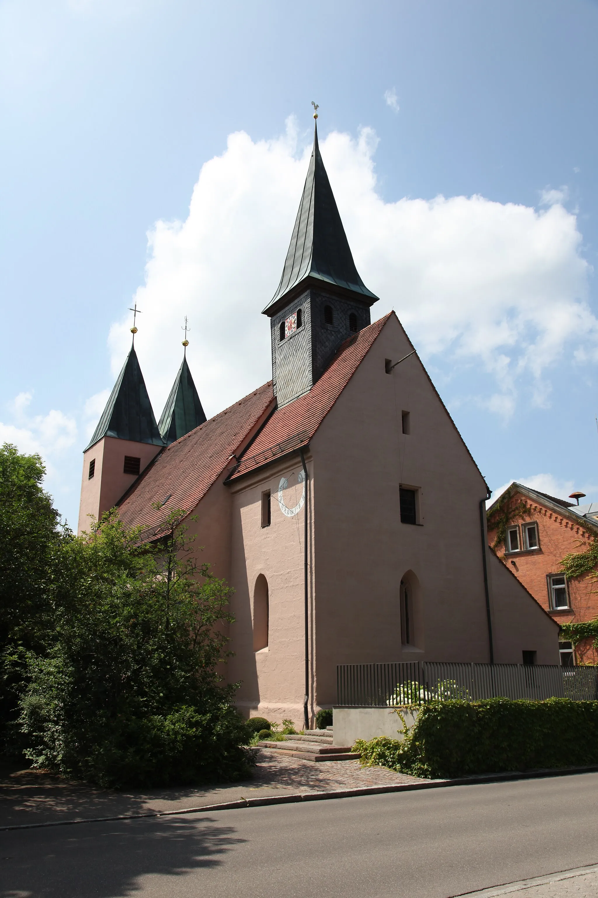
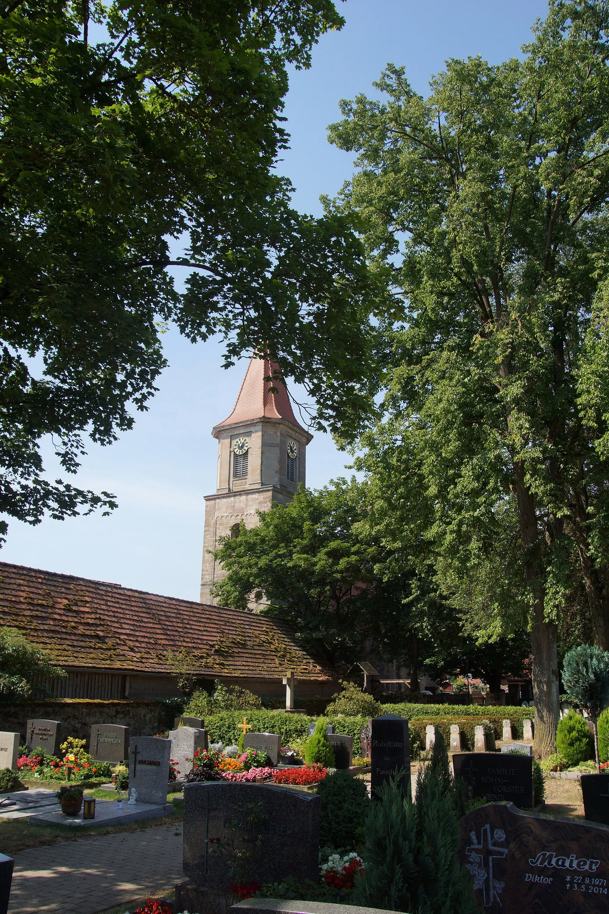
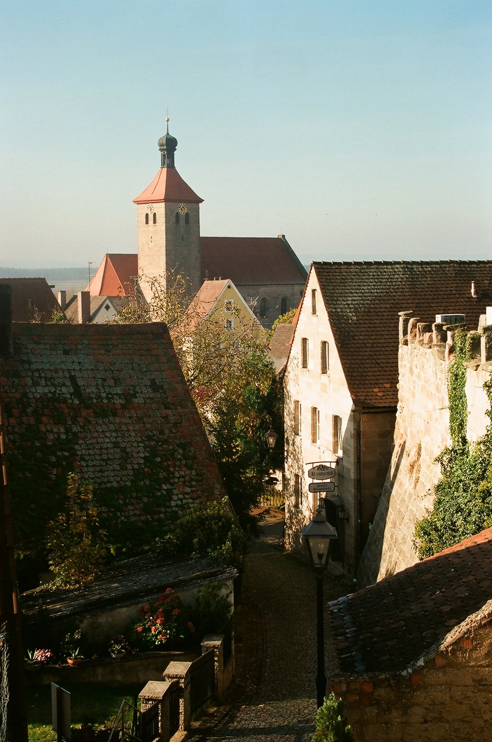
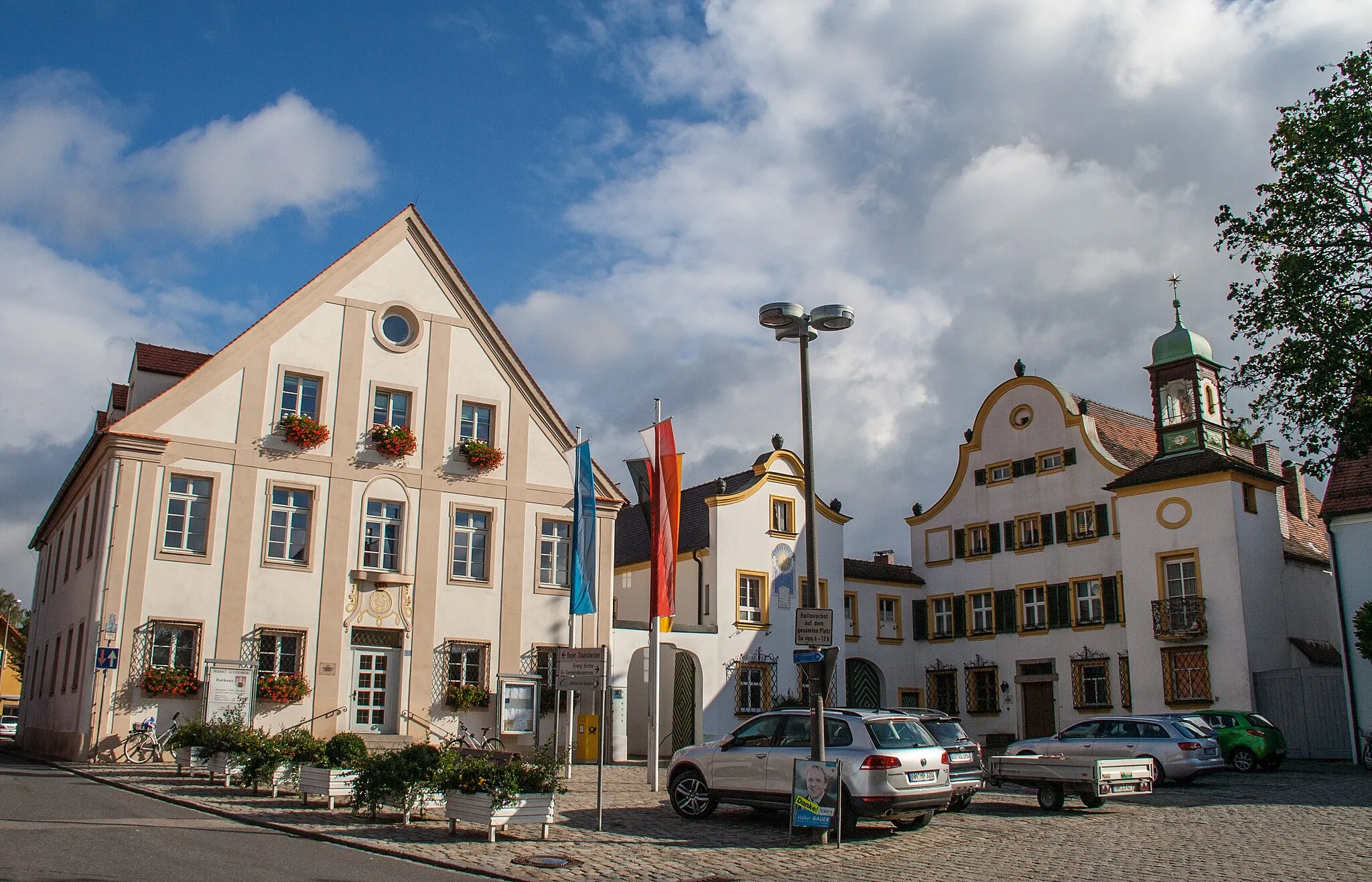
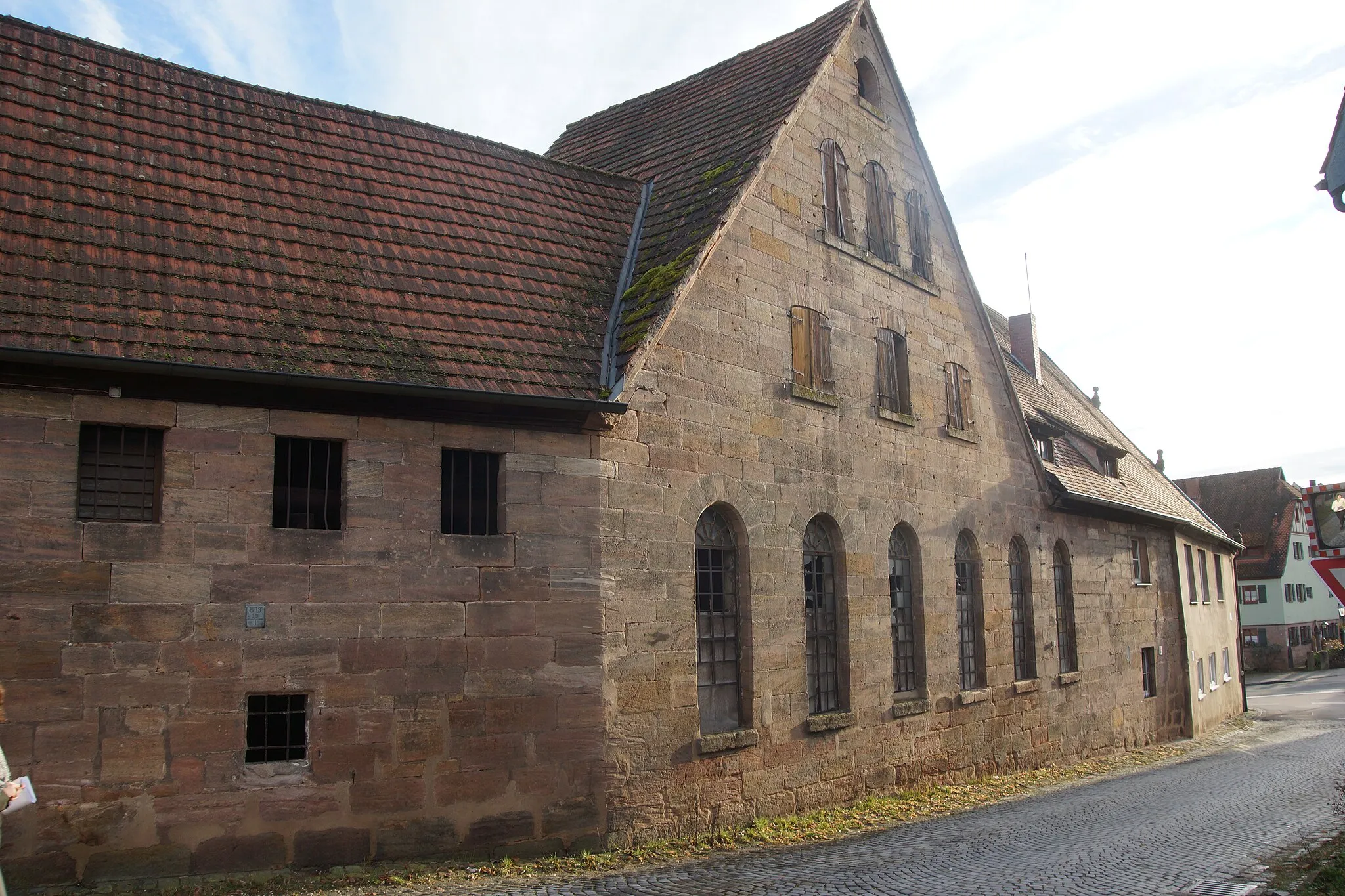
Rednitzhembach, situated in Mittelfranken, Germany, is a cycling-friendly locality with a blend of urban and rural landscapes. The area offers a mix of cycle paths, paved roads, and gravel trails, catering to different cycling preferences. Road cyclists can explore the region's scenic countryside via well-maintained roads, while gravel cyclists can venture off-road to discover hidden gems. Rednitzhembach also offers easy access to the famous Rednitztal and Schwabachtal bike paths, providing a variety of cycling opportunities. With its diverse terrain and cycling infrastructure, Rednitzhembach is an excellent destination for cyclists looking to explore both nature and urban areas.
From Rednitzhembach to Wendelstein and back, with stunning views along the way
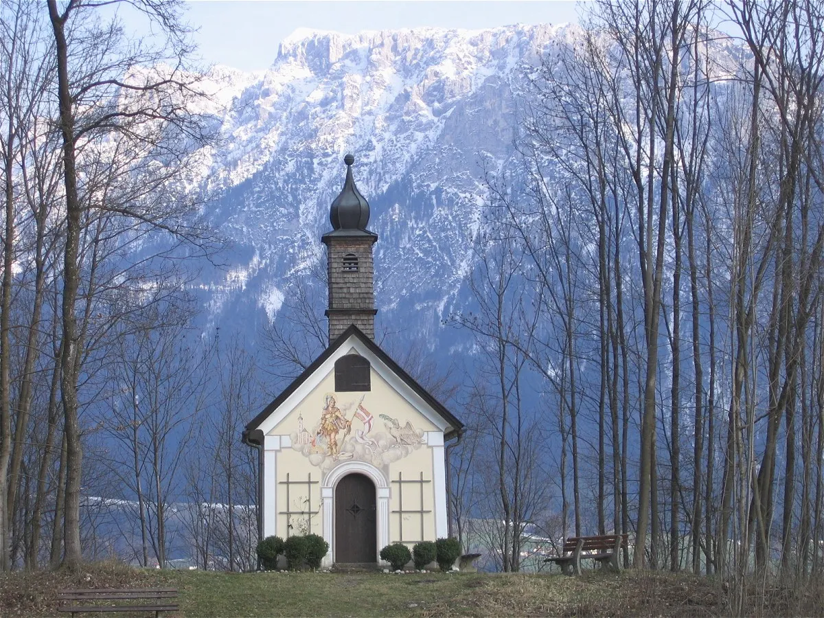
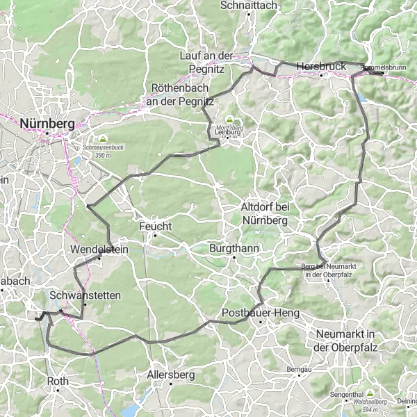
This road cycling route takes you from Rednitzhembach all the way to the majestic peak of Wendelstein. Along the way, you'll be treated to scenic vistas and challenging climbs. With a total ascent of 1515 meters and a distance of 142 kilometers, this route is recommended for experienced cyclists. The epicness rating is 4, as it offers a truly unforgettable ride through the beautiful landscapes of Mittelfranken.
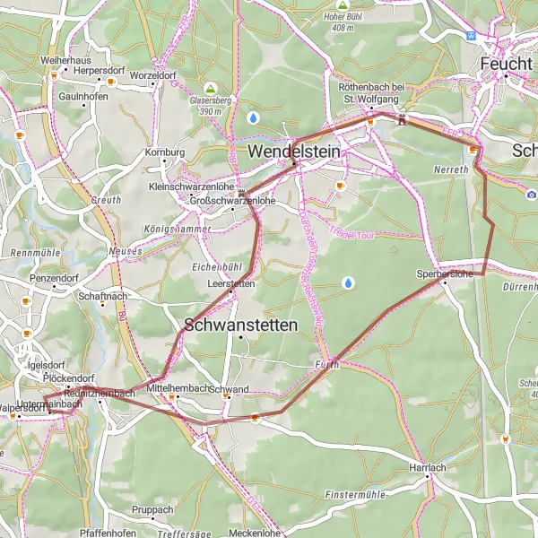
Lost in the Woods
Get lost in the enchanting woods and discover hidden gems near Rednitzhembach
Get ready for an epic journey through forested trails and enchanting landscapes. This gravel route near Rednitzhembach takes you on a thrilling adventure through some of the most fascinating sceneries in the region. Whether you're seeking peace and tranquility or simply testing your limits, this route will exceed your expectations.
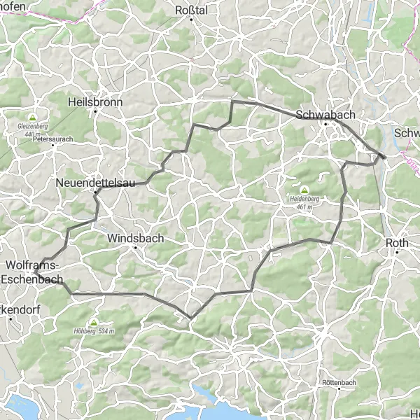
Explore the beautiful Häuselsteiner Heights on this road cycling route near Rednitzhembach
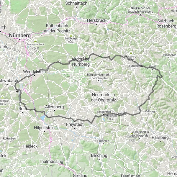
This road cycling route takes you on an unforgettable journey through the scenic landscapes of Juberg and Häuselsteiner Heights. With a total ascent of 908 meters and a distance of 97 kilometers, this route is recommended for intermediate to advanced cyclists. The epicness rating is 4, as it offers challenging climbs and rewarding views.
Scenic Gravel Adventure

A gravel cycling adventure through picturesque landscapes near Rednitzhembach
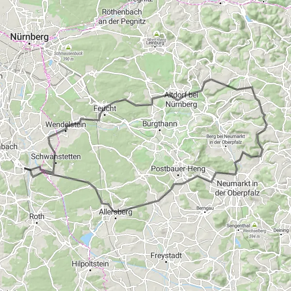
This gravel cycling route offers a unique and adventurous experience through the scenic landscapes surrounding Rednitzhembach. With a total ascent of 448 meters and a distance of 66 kilometers, this route is suitable for intermediate-level cyclists. The epicness rating is 3, as it provides a diverse terrain and beautiful natural surroundings.
Gravel Adventure

A thrilling gravel adventure through the picturesque landscapes near Rednitzhembach
Embark on a gravel adventure through the beautiful countryside near Rednitzhembach. This route offers a perfect mix of challenging terrain, stunning views, and interesting highlights along the way. Whether you're a seasoned cyclist or a gravel newbie, this route promises an unforgettable experience.
Embark on an epic road cycling challenge that will push your limits and reward you with breathtaking views and memorable experiences.
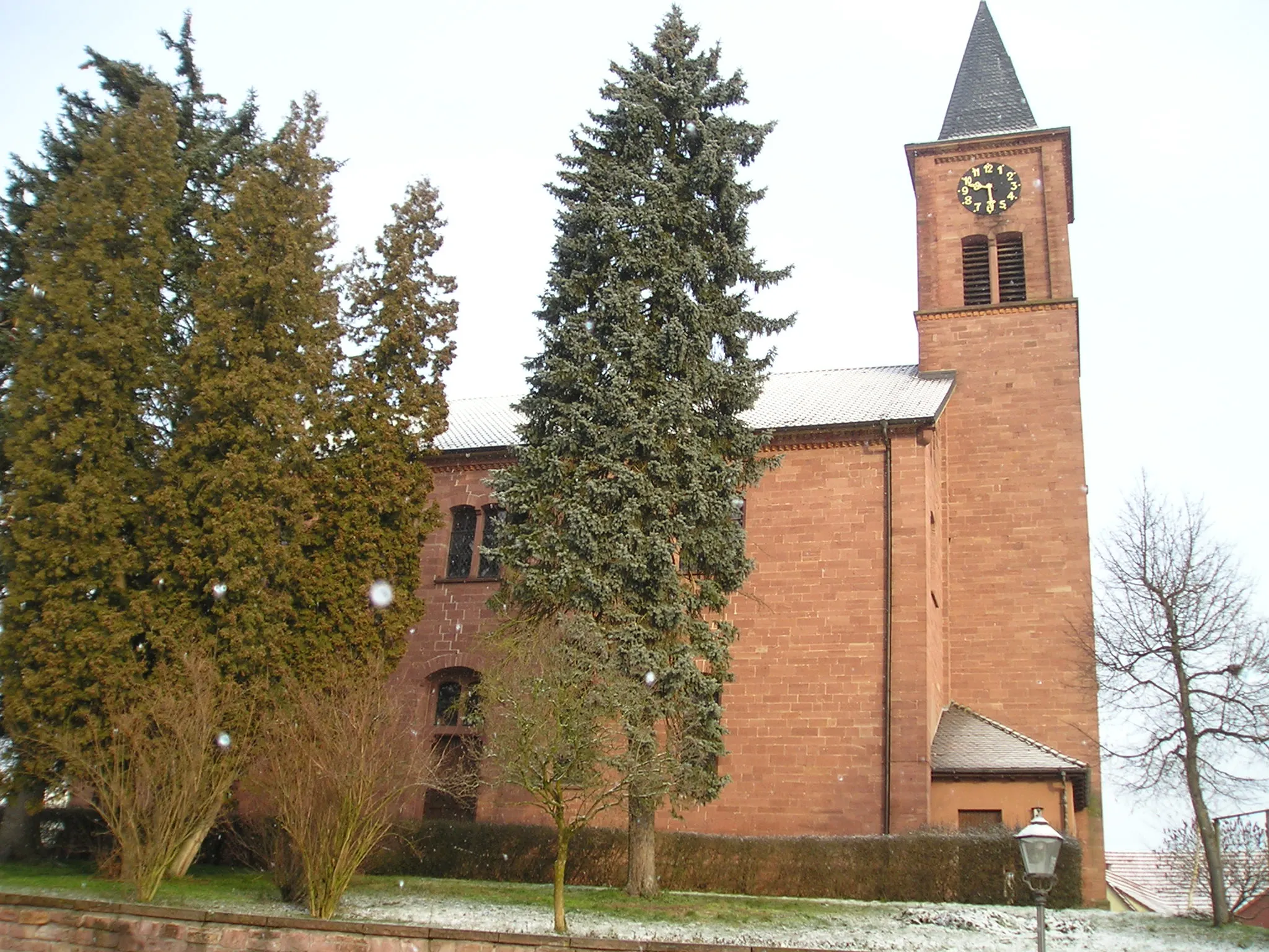
Prepare for an ultimate road cycling adventure near Rednitzhembach that will take you through challenging climbs, exhilarating descents, and stunning landscapes. This route boasts a variety of highlights, including Wendelstein, a notorious climb known for testing even the most seasoned riders, and Ottensoos, home to the picturesque St. Laurentius Church. With a demanding difficulty level and breathtaking scenery, this route is designed for experienced cyclists seeking an unforgettable challenge. Pedal through charming villages, soak up the panoramic views, and feel the adrenaline as you conquer the different stages of this epic road cycling route.
Discover hidden gravel gems near Rednitzhembach on this scenic route
Embark on a short but rewarding gravel cycling route through the hidden gems near Rednitzhembach. With a total ascent of 287 meters and a distance of 33 kilometers, this route is suitable for beginners and offers a taste of the region's natural beauty.
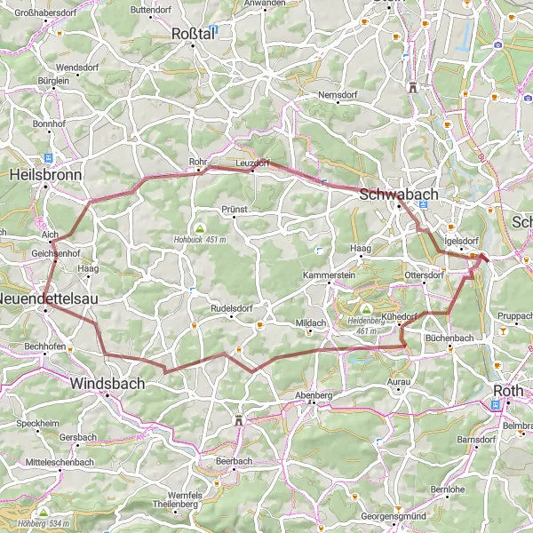
Rednitzhembach Loop
Discover the beautiful countryside near Rednitzhembach
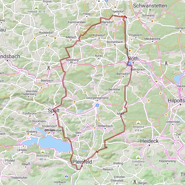
This cycling route near Rednitzhembach takes you through picturesque villages and scenic countryside. With a moderate difficulty level, it is suitable for very well-trained amateurs. The 73 km distance and 676 m ascent make it a satisfying challenge. The highlights along the route include Galgenberg, Bärenberg, Wolframs-Eschenbach, and Neuendettelsau, providing opportunities to explore historical landmarks and enjoy stunning views.
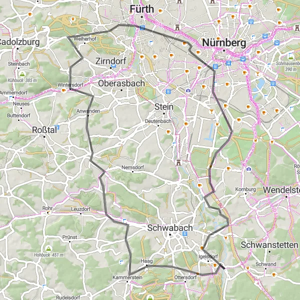
Embark on an exhilarating road cycling journey around Rednitzhembach and be captivated by the scenic landscapes and charming villages.
This road cycling adventure near Rednitzhembach takes you through rolling hills, picturesque vineyards, and historic towns. Along the way, you'll encounter highlights such as Erlberg, renowned for its panoramic views, and Kammerstein, home to a majestic medieval castle. The route offers a good mix of challenging climbs and thrilling descents, making it suitable for experienced riders. Immerse yourself in the rich history and natural beauty of this region as you pedal through charming villages and soak in the stunning scenery.
Gravel Exploration
Explore the gravel roads near Rednitzhembach on this adventurous cycling route
This gravel cycling route takes you on an exciting exploration of the scenic gravel roads near Rednitzhembach. With a total ascent of 452 meters and a distance of 57 kilometers, this route is suitable for intermediate-level cyclists. The epicness rating is 3, as it offers diverse terrain and picturesque landscapes.
Cycling routes nearby:


Nearby regions: