Scenic Gravel Adventure
A gravel cycling route starting from Rednitzhembach
A gravel cycling adventure through picturesque landscapes near Rednitzhembach
Map

This gravel cycling route offers a unique and adventurous experience through the scenic landscapes surrounding Rednitzhembach. With a total ascent of 448 meters and a distance of 66 kilometers, this route is suitable for intermediate-level cyclists. The epicness rating is 3, as it provides a diverse terrain and beautiful natural surroundings.
gravel
66 km
448 m
Tough
Route profile
Highlights on the route
0 km
0 km
Start: Plöckendorf Village centerRednitzhembach: Urban-Rural Blend with Diverse Cycling Opportunities
Rednitzhembach, situated in Mittelfranken, Germany, is a cycling-friendly locality with a blend of urban and rural landscapes. The area offers a mix of cycle paths, paved roads, and gravel trails, catering to different cycling preferences. Road cyclists can explore the region's scenic countryside via well-maintained roads, while gravel cyclists can venture off-road to discover hidden gems. Rednitzhembach also offers easy access to the famous Rednitztal and Schwabachtal bike paths, providing a variety of cycling opportunities. With its diverse terrain and cycling infrastructure, Rednitzhembach is an excellent destination for cyclists looking to explore both nature and urban areas.12 km
12 km
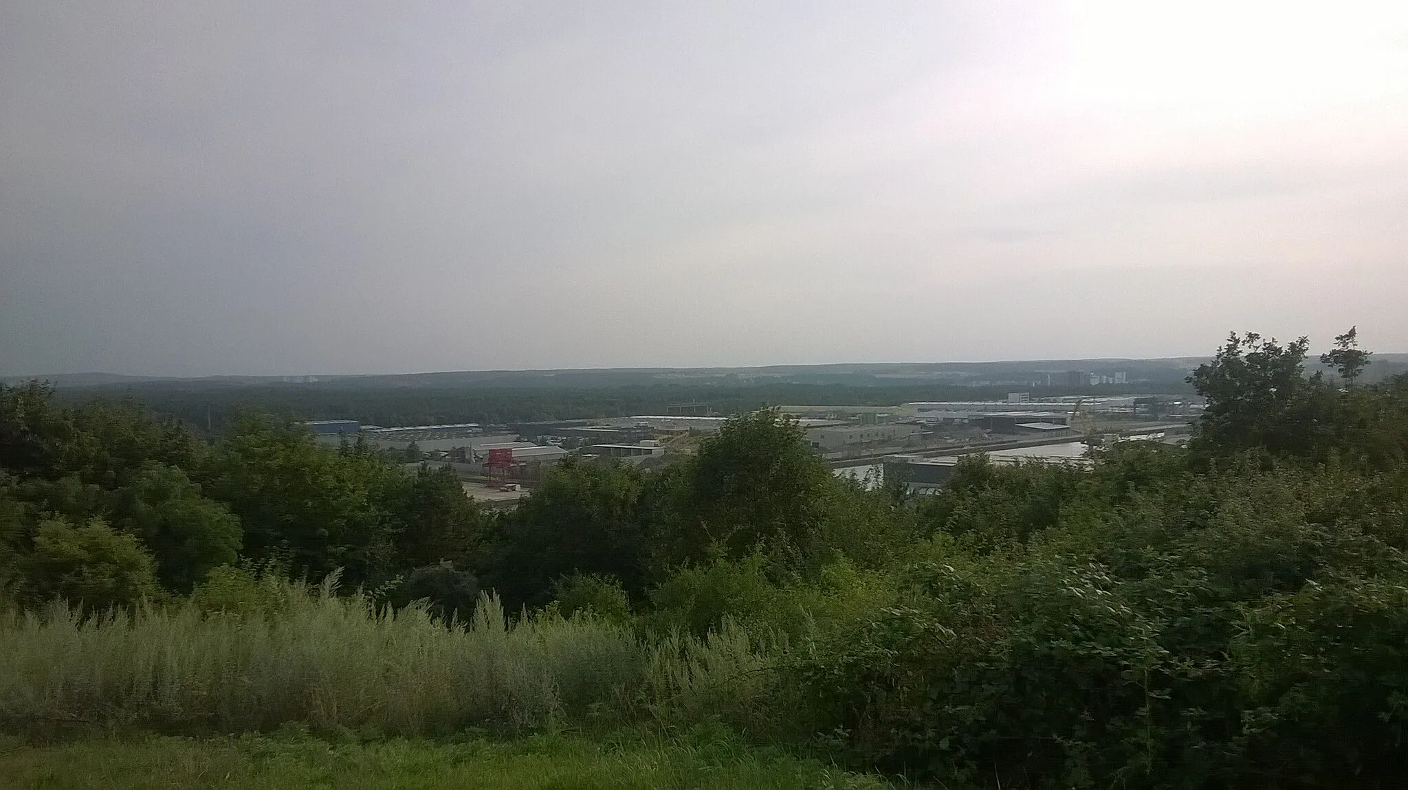
Föhrenbuck368 mPeakExperience the beauty of Föhrenbuck, a small hill covered with pine trees and offering stunning views of the surrounding countryside.
14 km
14 km
FalkenheimSub-urbPass through Falkenheim and enjoy the idyllic countryside, with its rolling hills and peaceful atmosphere.
22 km
22 km
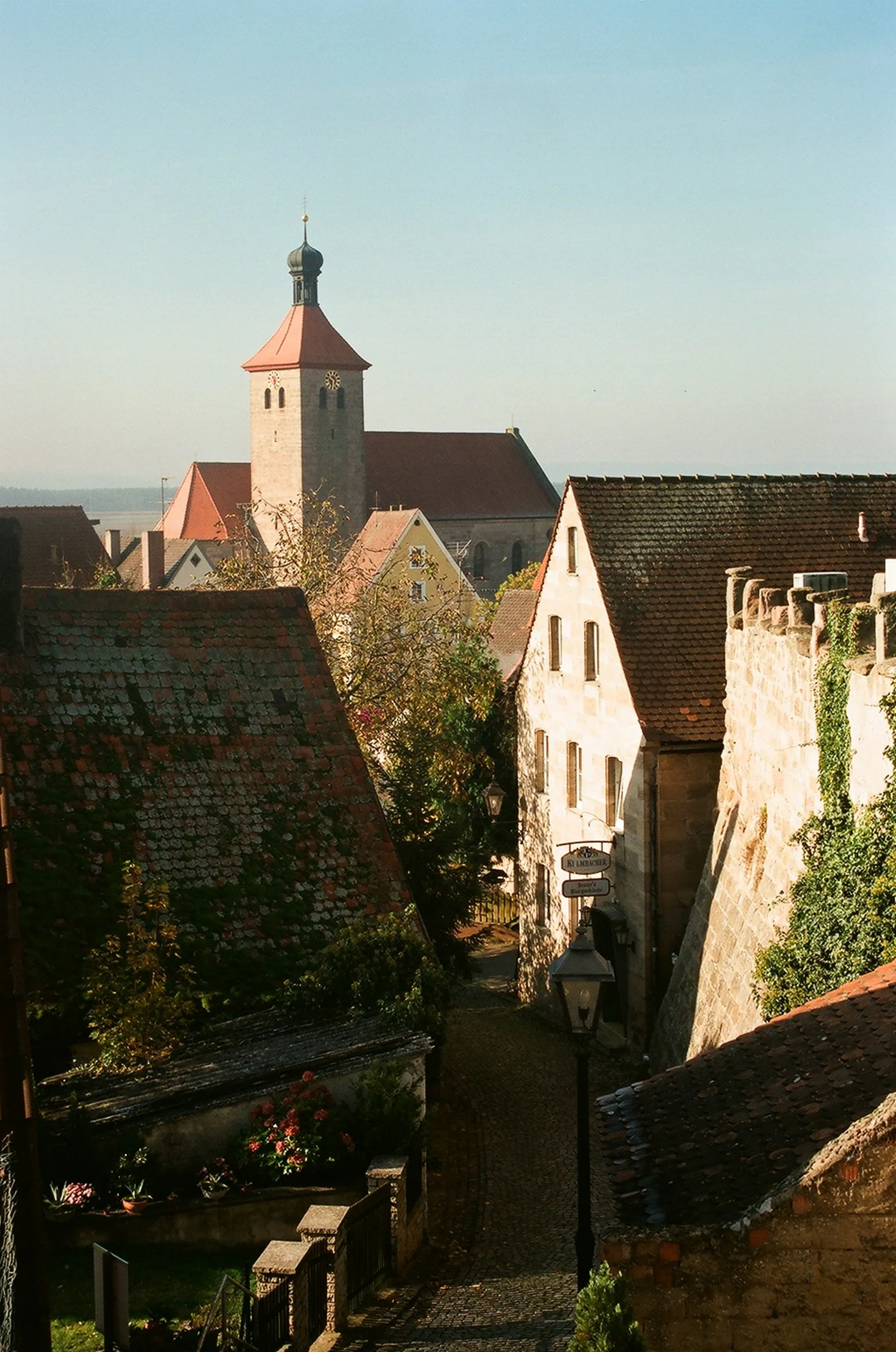
FreiungViewpointFreiung is a small village known for its charming traditional architecture and calm village life. Take a moment to explore its picturesque streets.
34 km
34 km
BehringersdorfSub-urbBehringersdorf is a charming village set amidst beautiful meadows and forests, a perfect spot to take a rest and soak in the tranquil surroundings.
43 km
43 km
Hutberg407 mPeakStop by Hutberg, a small hill with a historical fortification that offers panoramic views of the countryside.
47 km
47 km
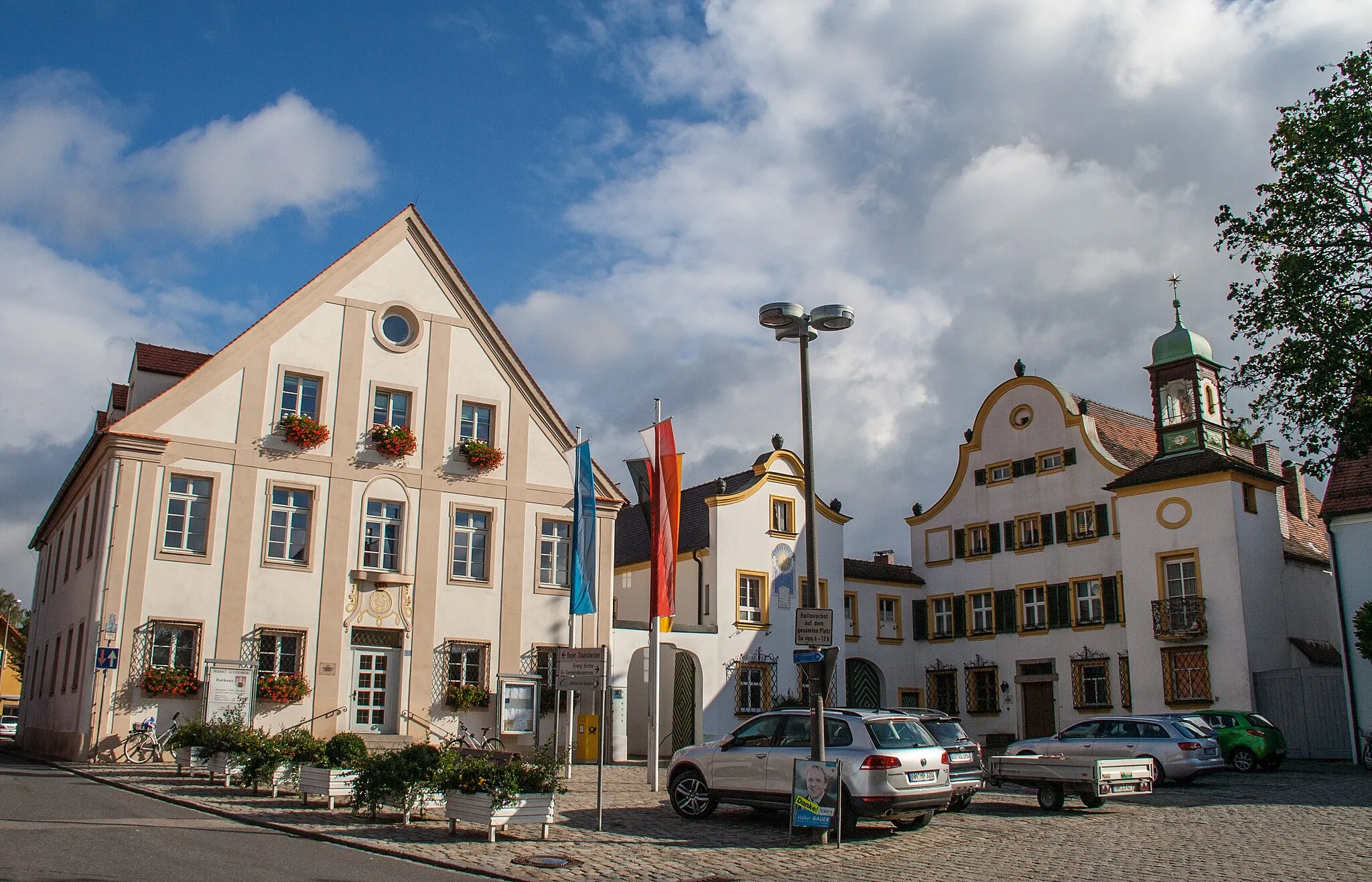
FeuchtTownFeucht, nestled amidst lush green landscapes, is an ideal place to take a break and enjoy its peaceful ambiance.
65 km
65 km
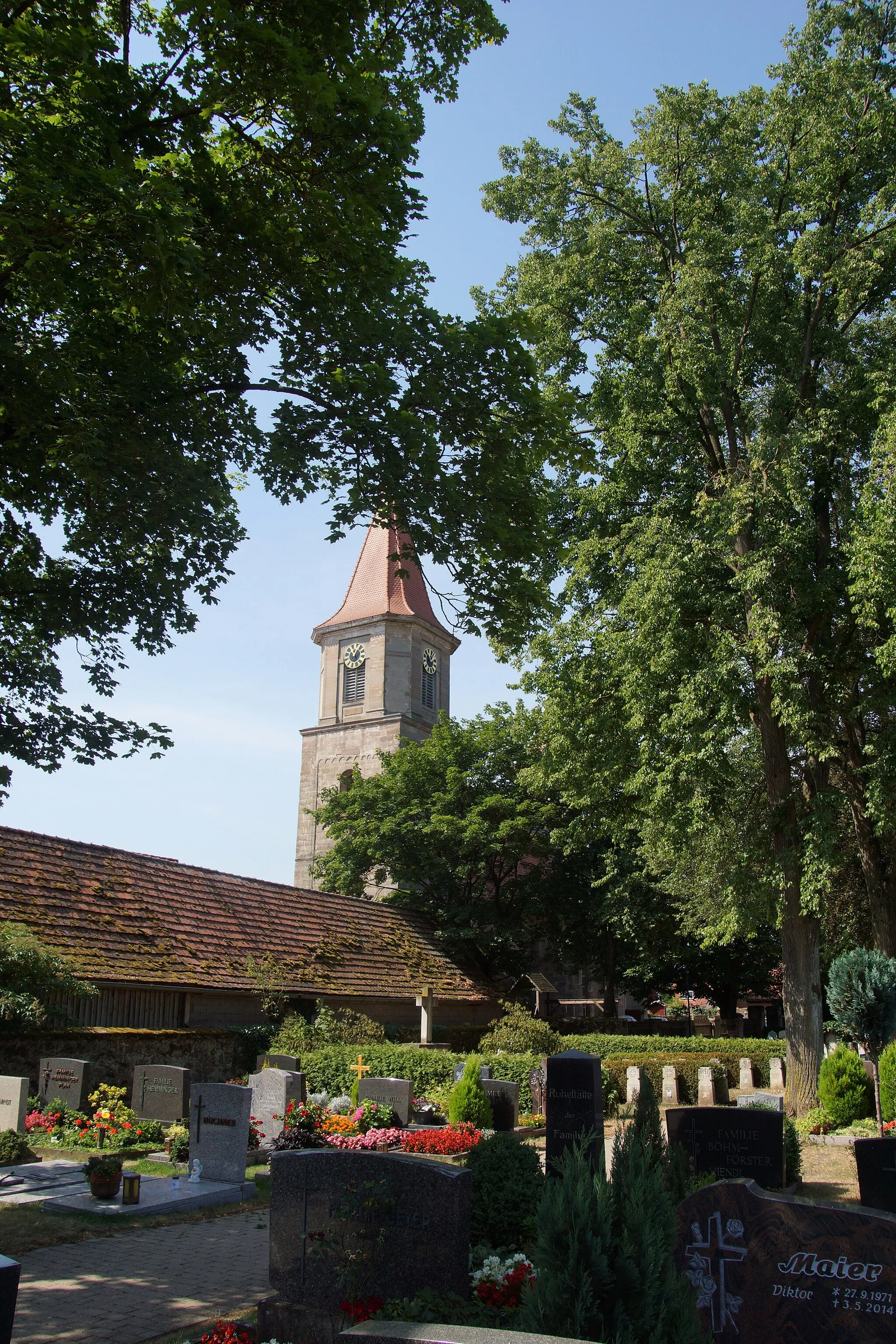
RednitzhembachVillageStart and end your gravel adventure in Rednitzhembach, exploring the diverse terrain and picturesque routes near the Rednitz River.
66 km
66 km
Finish: Plöckendorf Village centerRednitzhembach: Urban-Rural Blend with Diverse Cycling Opportunities
Cycling routes from Rednitzhembach:
Cycling routes nearby: