Pinzberg Challenge
A road cycling route starting from Hemhofen
Take on the challenging Pinzberg route with its scenic landscapes
Map
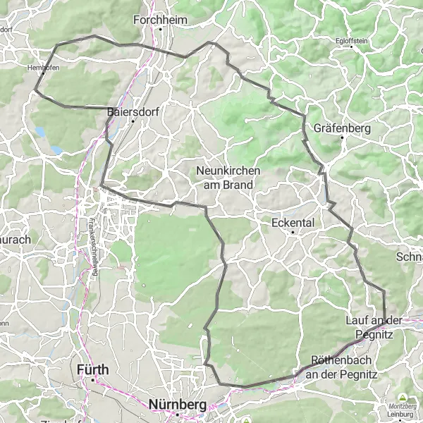
The Pinzberg Challenge is a 100km road cycling route near Hemhofen, Mittelfranken. With a total ascent of 820m, this route offers a mix of flat sections and challenging climbs, making it suitable for well-trained amateur cyclists. The route passes through Pinzberg, Igensdorf, Bug, Behringersdorf, Mistelberg, Kalchreuth, Buckenhof, and Geiersberg, offering scenic views and picturesque landscapes along the way.
road
100 km
820 m
Tough
Route profile
Highlights on the route
0 km
0 km
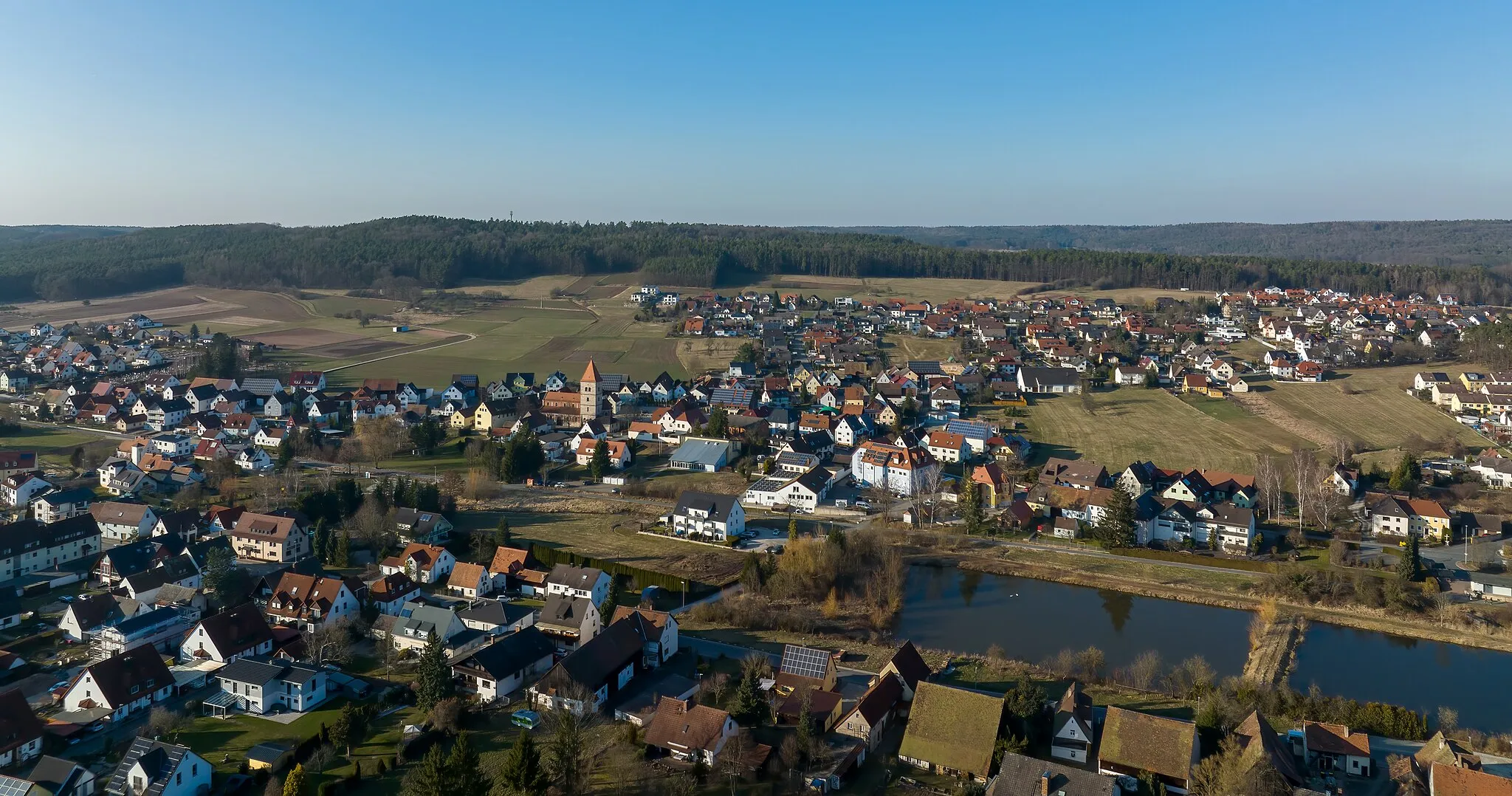
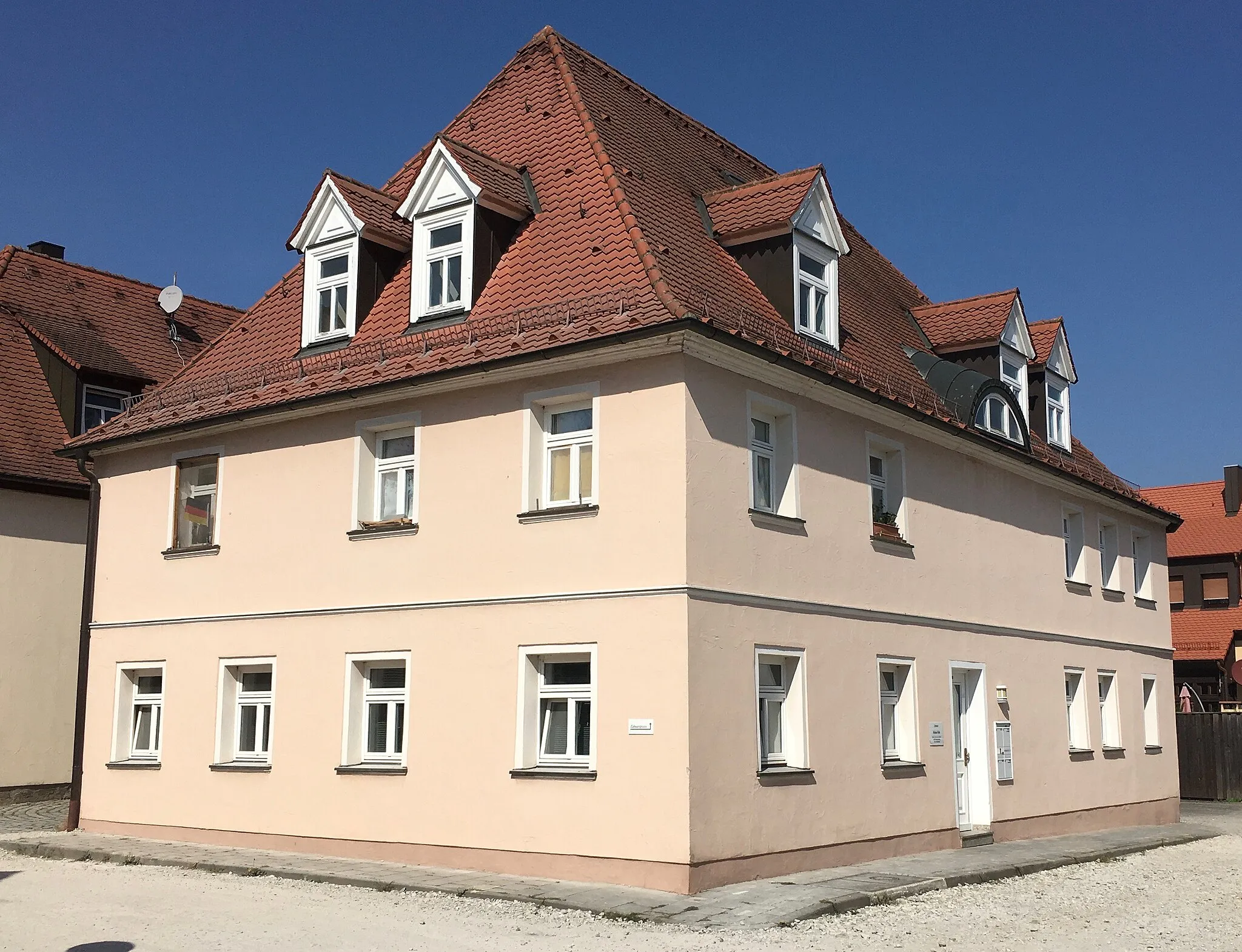
Start: Hemhofen Village centerHemhofen: Explore the tranquil cycling routes of Hemhofen.
Hemhofen is located in Mittelfranken, Germany, and provides excellent cycling opportunities for road and gravel cyclists. The locality features well-maintained roads and quiet country lanes that offer peaceful cycling experiences. Hemhofen is surrounded by picturesque landscapes and charming villages, providing a pleasant atmosphere for cyclists. Gravel cyclists can explore the scenic paths in the Steigerwald forest, which is in proximity. Overall, Hemhofen is a hidden gem for cycling enthusiasts seeking beautiful routes and serene surroundings.14 km
14 km
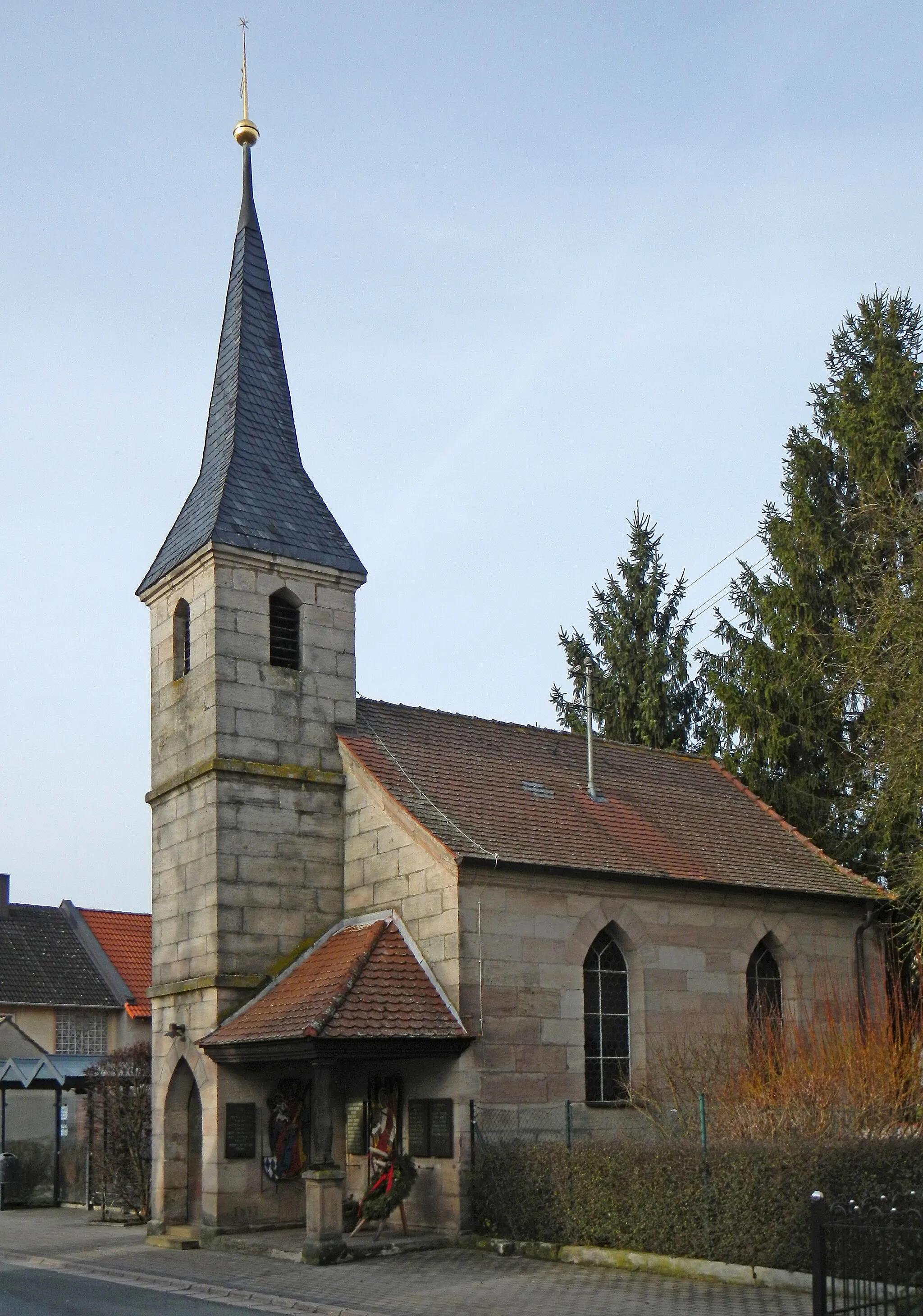
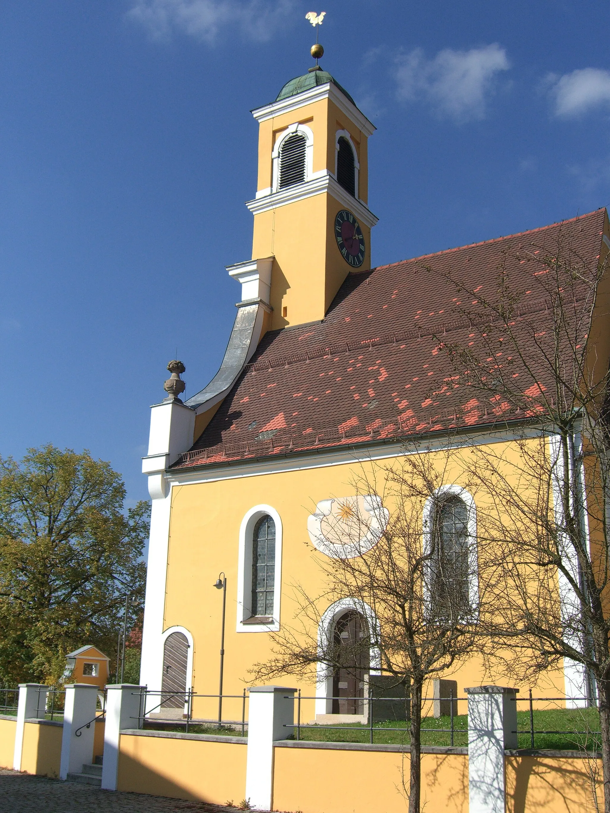
PinzbergVillageDiscover the historical sights of Pinzberg.
30 km
30 km
IgensdorfVillageCycle through the charming town of Igensdorf.
51 km
51 km
Bug356 mPeakTake in the beauty of Bug and its surroundings.
54 km
54 km
BehringersdorfSub-urbExperience the scenic landscapes of Behringersdorf.
71 km
71 km
Mistelberg418 mPeakMarvel at the panoramic viewpoints from Mistelberg.
71 km
71 km
KalchreuthVillageExplore the picturesque village of Kalchreuth.
81 km
81 km
BuckenhofVillageCycle through the beautiful town of Buckenhof.
94 km
94 km
Geiersberg333 mPeakEnjoy the views from Geiersberg.
100 km
100 km
Finish: Hemhofen Village centerHemhofen: Explore the tranquil cycling routes of Hemhofen.
Cycling routes from Hemhofen:
Cycling routes nearby: