Hemhofen to Forchheim
A road cycling route starting from Hemhofen
A road cycling route from Hemhofen to Forchheim.
Map
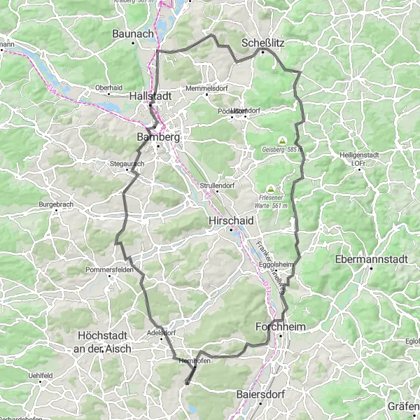
This road cycling route takes you through beautiful Bavarian countryside. Starting in Hemhofen, you will pass by Adelsdorf, Stegaurach, and Breitengüßbach before reaching Forchheim. The highlight of the route is the scenic viewpoint at Hemhofen-Blick, offering panoramic views of the region.
road
108 km
1147 m
Tough
Route profile
Highlights on the route
0 km
0 km
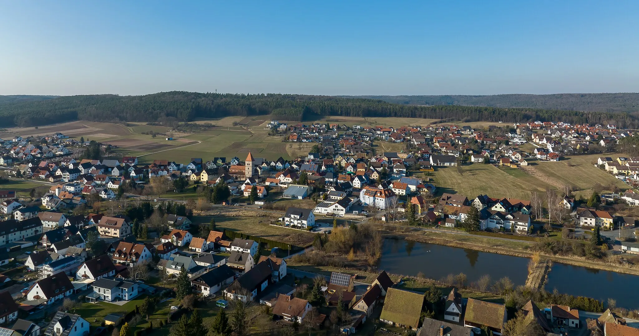
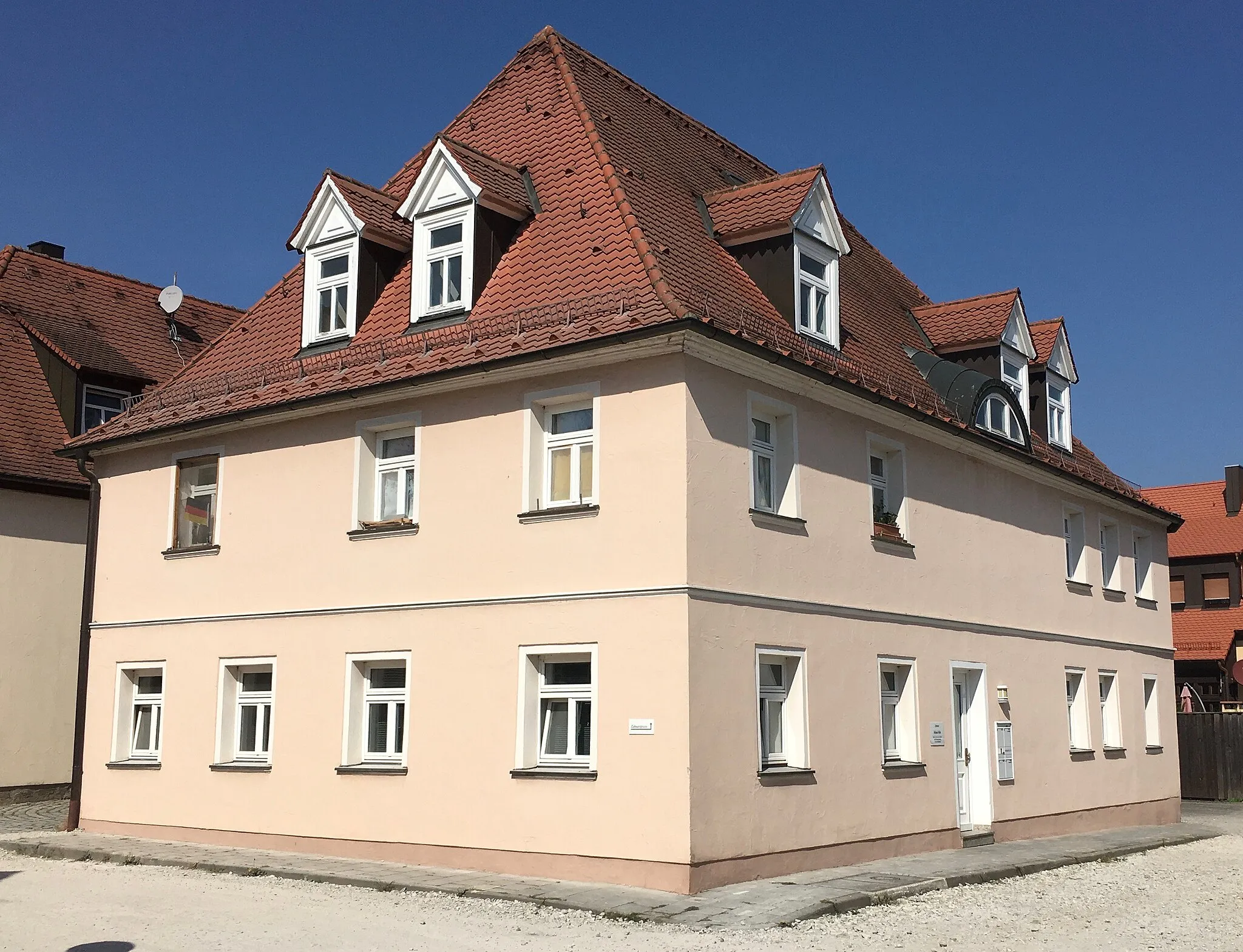
Start: Röttenbach Village centerHemhofen: Explore the tranquil cycling routes of Hemhofen.
Hemhofen is located in Mittelfranken, Germany, and provides excellent cycling opportunities for road and gravel cyclists. The locality features well-maintained roads and quiet country lanes that offer peaceful cycling experiences. Hemhofen is surrounded by picturesque landscapes and charming villages, providing a pleasant atmosphere for cyclists. Gravel cyclists can explore the scenic paths in the Steigerwald forest, which is in proximity. Overall, Hemhofen is a hidden gem for cycling enthusiasts seeking beautiful routes and serene surroundings.3 km
3 km
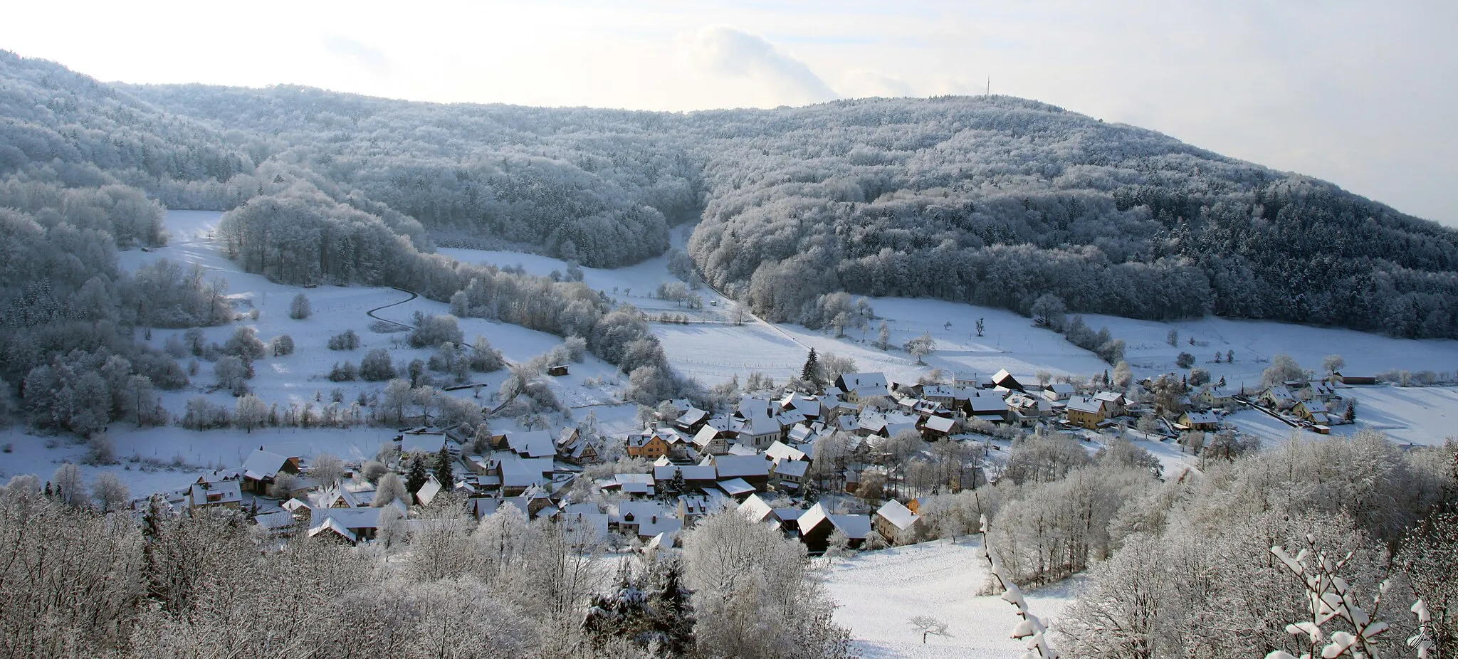
Hemhofen-BlickViewpointHemhofen-Blick is a scenic viewpoint along the route, offering breathtaking views of the surrounding landscape.
7 km
7 km
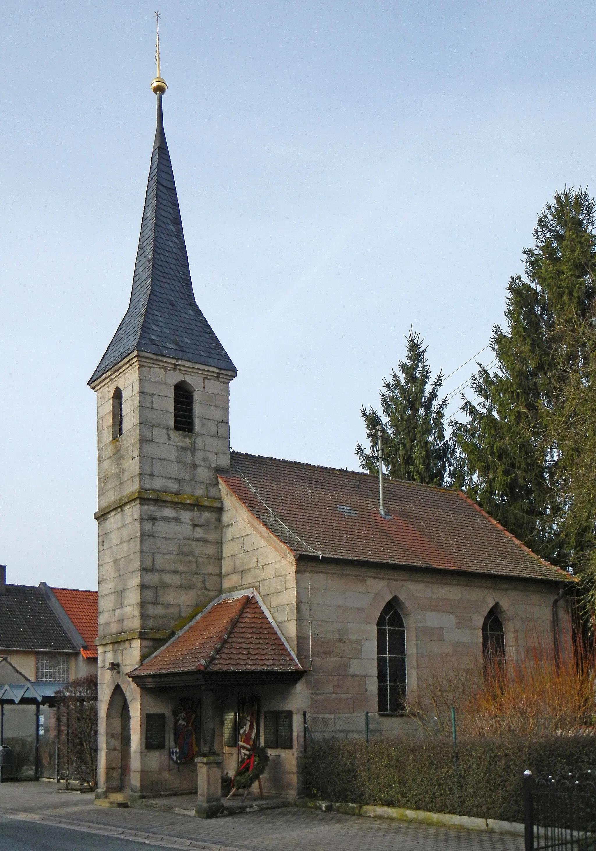
AdelsdorfVillageAdelsdorf is a small village known for its traditional Franconian charm and picturesque streets.
28 km
28 km
StegaurachVillageStegaurach is a historic town with well-preserved buildings, including the Stegaurach Castle.
44 km
44 km
BreitengüßbachVillageBreitengüßbach is a charming village located on the Regnitz River, offering a tranquil atmosphere.
57 km
57 km
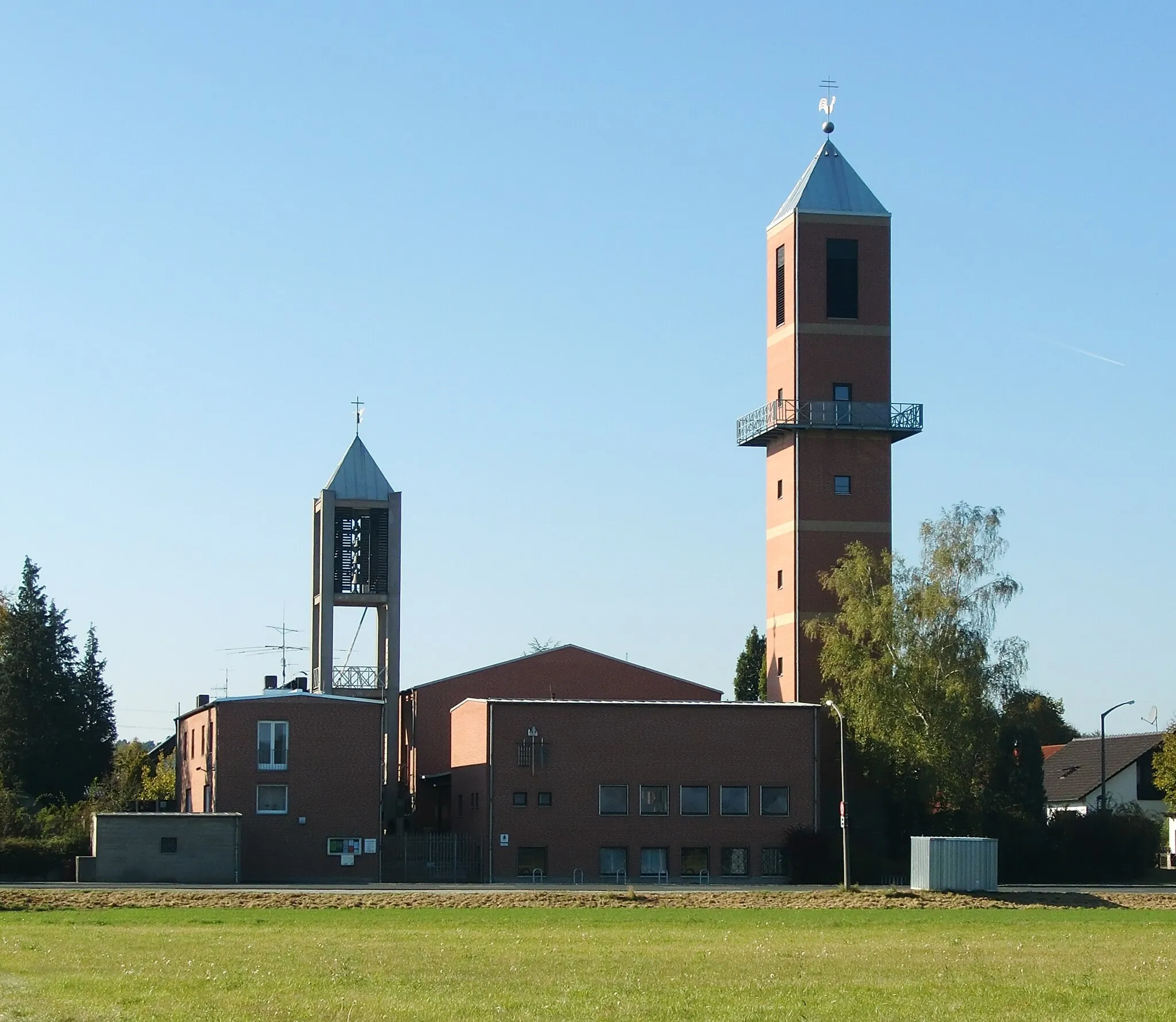
ScheßlitzTownScheßlitz is a quaint town with an impressive medieval fortress, the Altenburg Castle.
61 km
61 km
Heidenstein578 mPeakHeidenstein is a hill along the route that provides spectacular views of the surrounding countryside.
78 km
78 km
DragonerspitzViewpointDragonerspitz is a hill with a towering cross, offering a serene place to rest and admire the scenery.
78 km
78 km
FrankendorfVillageFrankendorf is a small village known for its traditional half-timbered houses and serene rural setting.
93 km
93 km
ForchheimTownForchheim is the endpoint of this route, known for its well-preserved old town and beautiful architecture.
100 km
100 km
WildwasserbahnViewpointThe Wildwasserbahn, located near Forchheim is an exciting water rafting ride on the Regnitz River.
108 km
108 km
EicheShelterEiche is a peaceful village located on the Main River, surrounded by lush greenery and rolling hills.
108 km
108 km
Finish: Röttenbach Village centerHemhofen: Explore the tranquil cycling routes of Hemhofen.
Cycling routes from Hemhofen:
Cycling routes nearby: