Ultimate Road Challenge
A road cycling route starting from Herrieden
Prepare for the ultimate road cycling challenge on this epic route that takes you through some of Mittelfranken's most challenging climbs.
Map
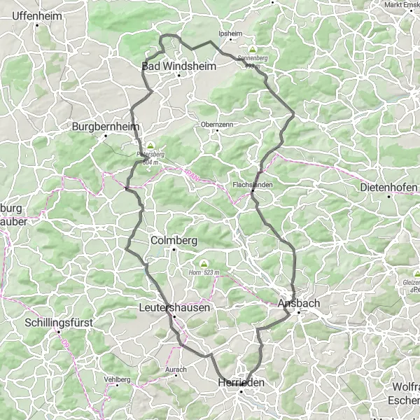
Take your road cycling skills to the limit with this challenging route that will push your limits both mentally and physically. Featuring epic climbs and awe-inspiring scenery, this is a journey for the adventurous souls.
road
96 km
794 m
Savage
Route profile
Highlights on the route
0 km
0 km
Start: Herrieden City centerHerrieden: Cyclist's paradise in Mittelfranken
Herrieden, located in Mittelfranken region of Germany, is a cyclist-friendly locality with well-maintained roads and designated cycle paths. The town itself is charming and offers a variety of amenities and services for cyclists. The surrounding countryside features rolling hills and picturesque landscapes, perfect for road and gravel cycling. Herrieden is also well-connected to the Altmühl Valley Nature Park, a popular cycling destination with scenic routes and historic sites. With its cycling-friendly infrastructure and beautiful surroundings, Herrieden is an ideal base for exploring the best of Mittelfranken on two wheels.12 km
12 km
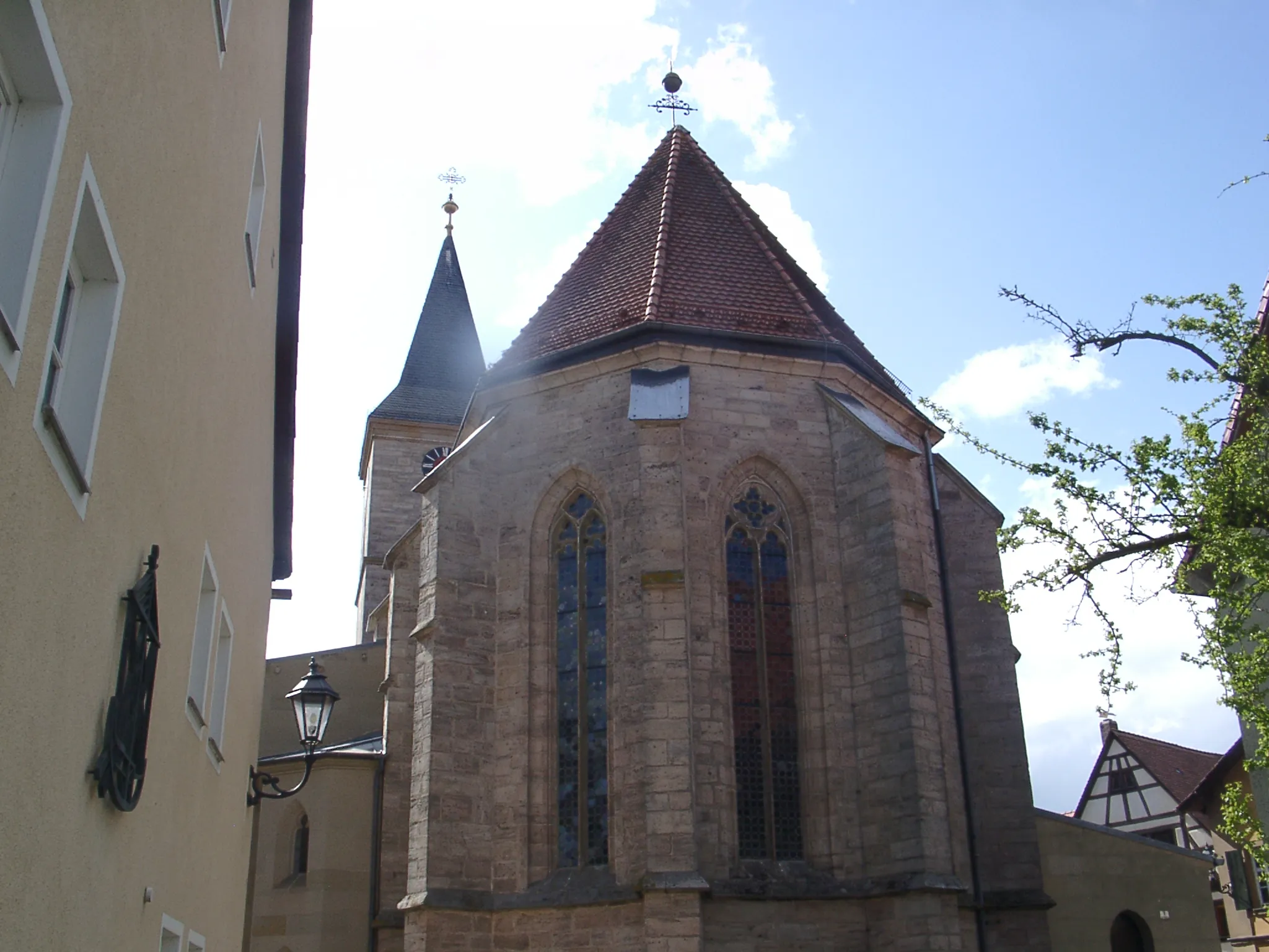
LeutershausenTownConquer the challenging climb of Leutershausen, a steep ascent that will test even the most experienced cyclists.
30 km
30 km
Büttelberg530 mPeakBüttelberg beckons with its awe-inspiring landscape and jaw-dropping views from the top of the climb.
33 km
33 km
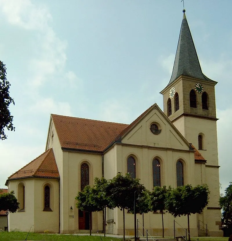
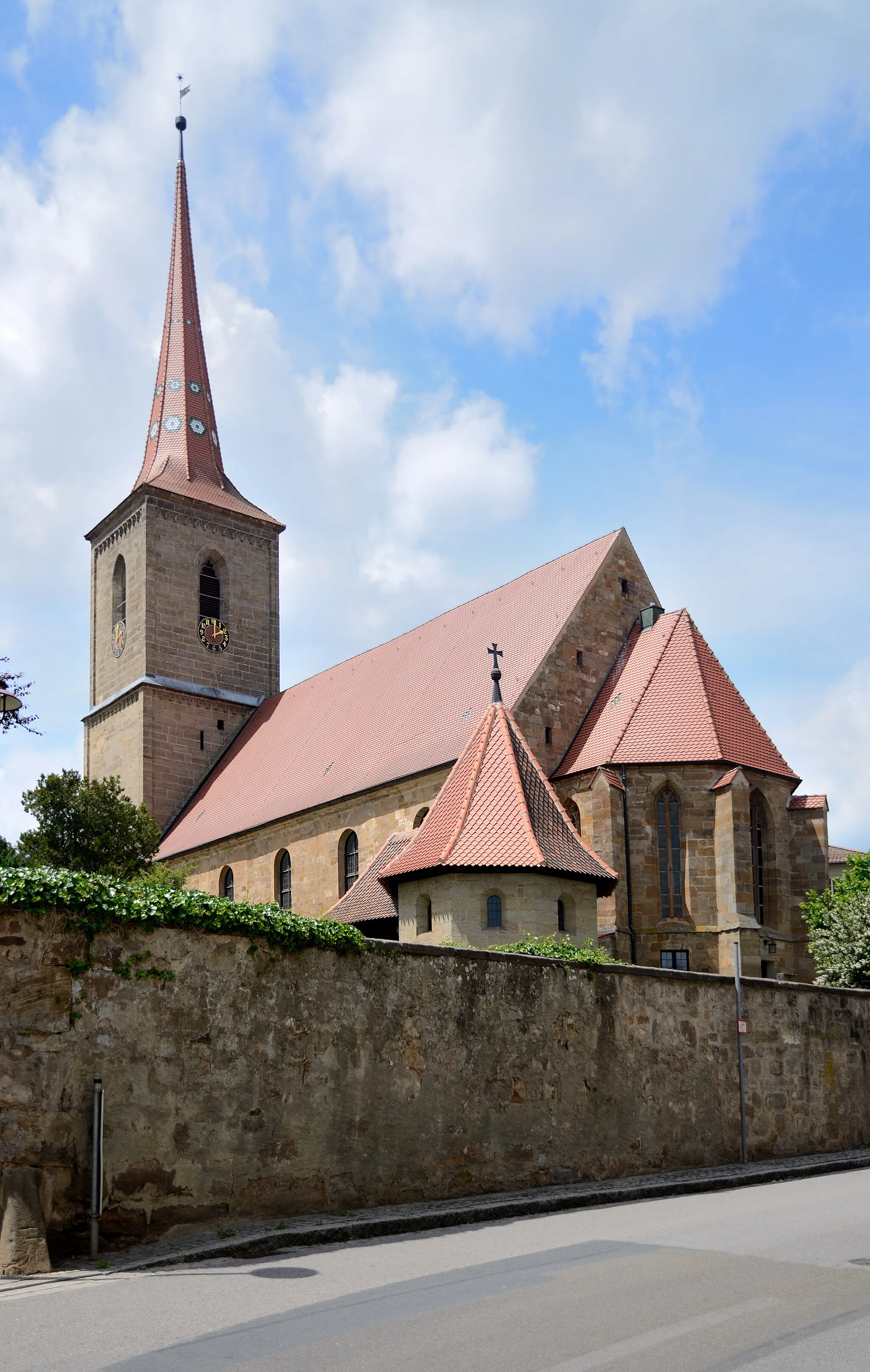
MarktbergelVillageDiscover the hidden gems of Marktbergel, a picturesque village filled with charming architecture and quaint cafes.
50 km
50 km
Geißbuck325 mPeakChallenge yourself on the grueling climb of Geißbuck, a legendary spot for cyclists seeking an adrenaline rush.
67 km
67 km
Plattenhöhe474 mPeakPlattenhöhe offers a challenging but rewarding climb, where the breathtaking views from the summit make it all worth it.
71 km
71 km
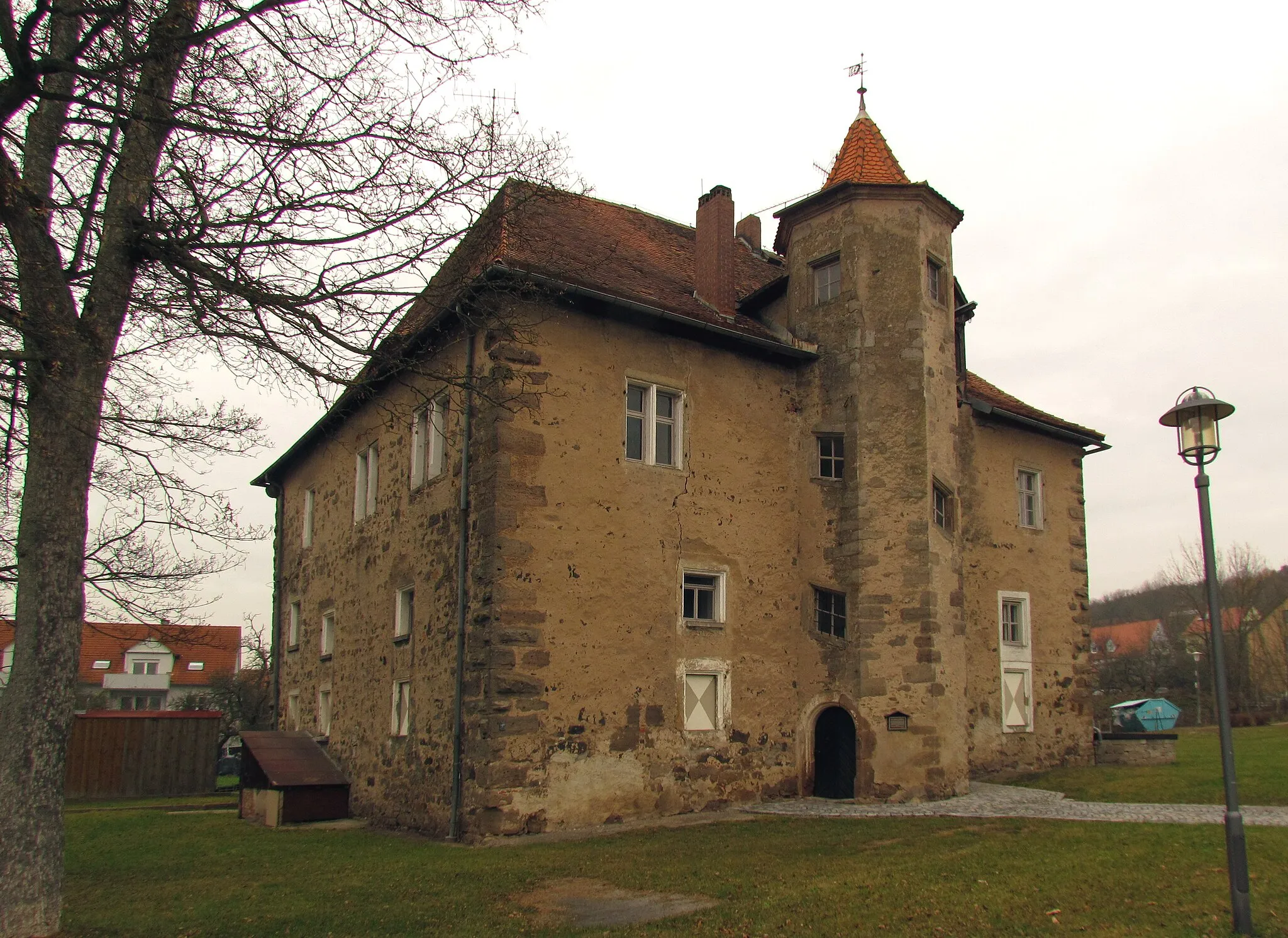
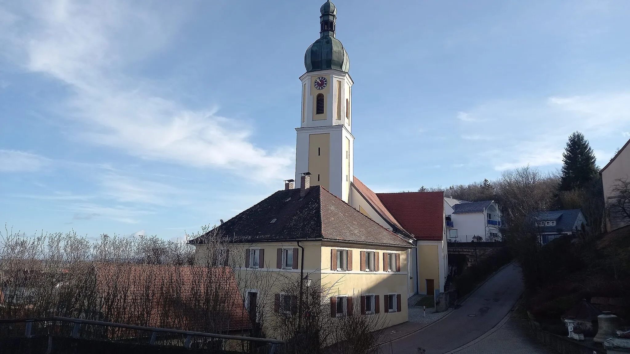
FlachslandenVillageStop by Flachslanden, a quaint village known for its traditional half-timbered houses and friendly atmosphere.
84 km
84 km
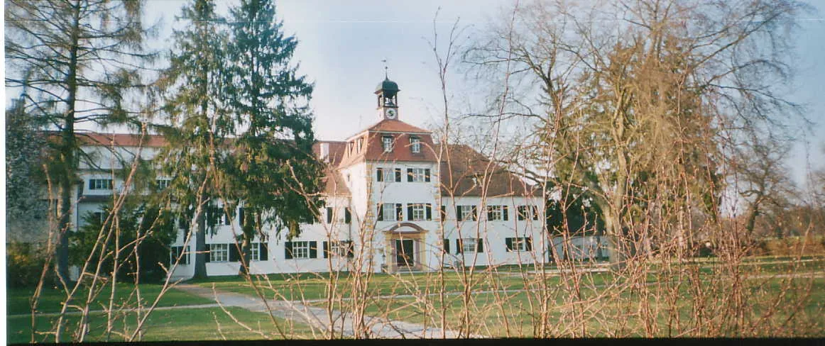
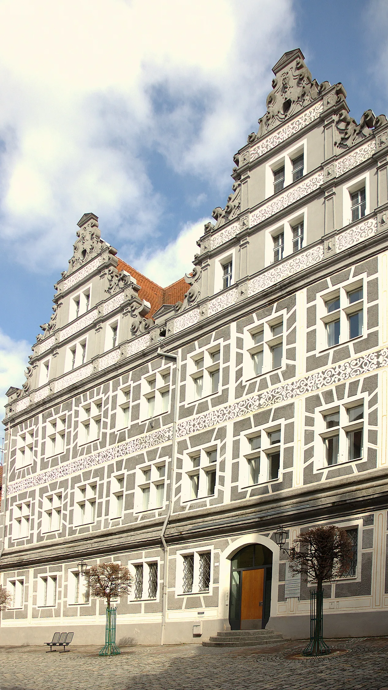
AnsbachTownAnsbach awaits with its historic charm and impressive architecture, including the beautiful Onolzbach Castle.
94 km
94 km
Hohenbuck491 mPeakReach the summit of Hohenbuck and experience panoramic views of the stunning Mittelfranken region.
96 km
96 km
Finish: Herrieden City centerHerrieden: Cyclist's paradise in Mittelfranken
Cycling routes nearby: