Herrieden and Beyond
A road cycling route starting from Herrieden
An exhilarating journey through the landscape surrounding Herrieden
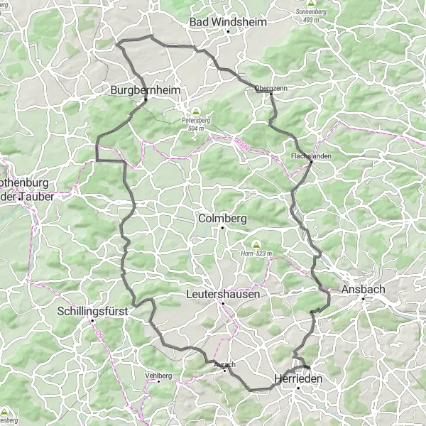
Map
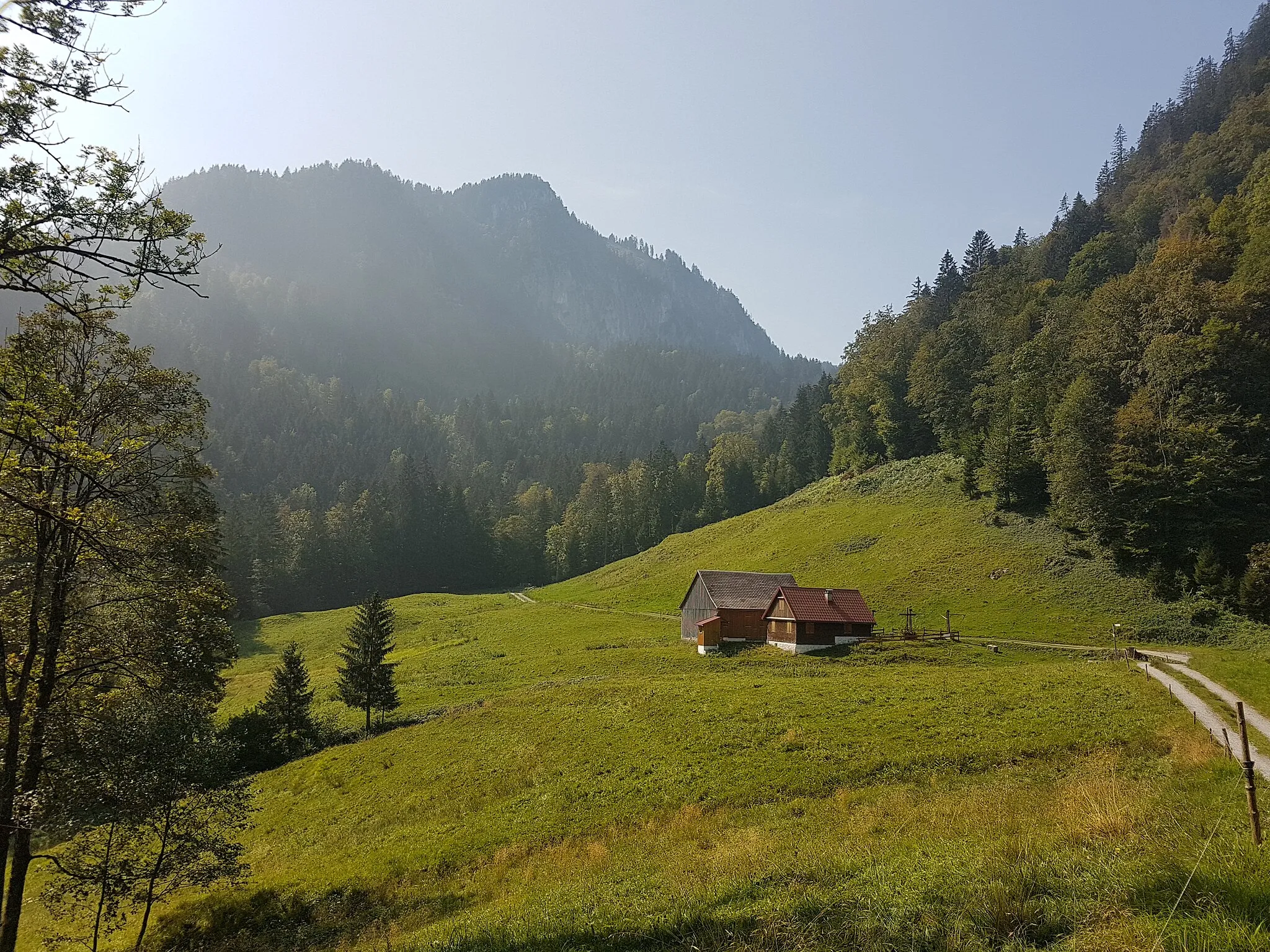
Discover the beauty of the region as you cycle through varied terrain and picturesque landscapes. This route offers a mix of challenging sections and opportunities to enjoy the serene nature. From the enchanting Steckberg to the majestic Hohenbuck, you'll encounter highlights that will leave lasting memories. Experience the thrill of ascent and soak in the breathtaking views that will make each pedal stroke worthwhile.
road
98 km
922 m
Tough
Route profile
Highlights on the route
0 km
0 km
Start: Hohenberg Village centerHerrieden: Cyclist's paradise in Mittelfranken
Herrieden, located in Mittelfranken region of Germany, is a cyclist-friendly locality with well-maintained roads and designated cycle paths. The town itself is charming and offers a variety of amenities and services for cyclists. The surrounding countryside features rolling hills and picturesque landscapes, perfect for road and gravel cycling. Herrieden is also well-connected to the Altmühl Valley Nature Park, a popular cycling destination with scenic routes and historic sites. With its cycling-friendly infrastructure and beautiful surroundings, Herrieden is an ideal base for exploring the best of Mittelfranken on two wheels.1 km
1 km
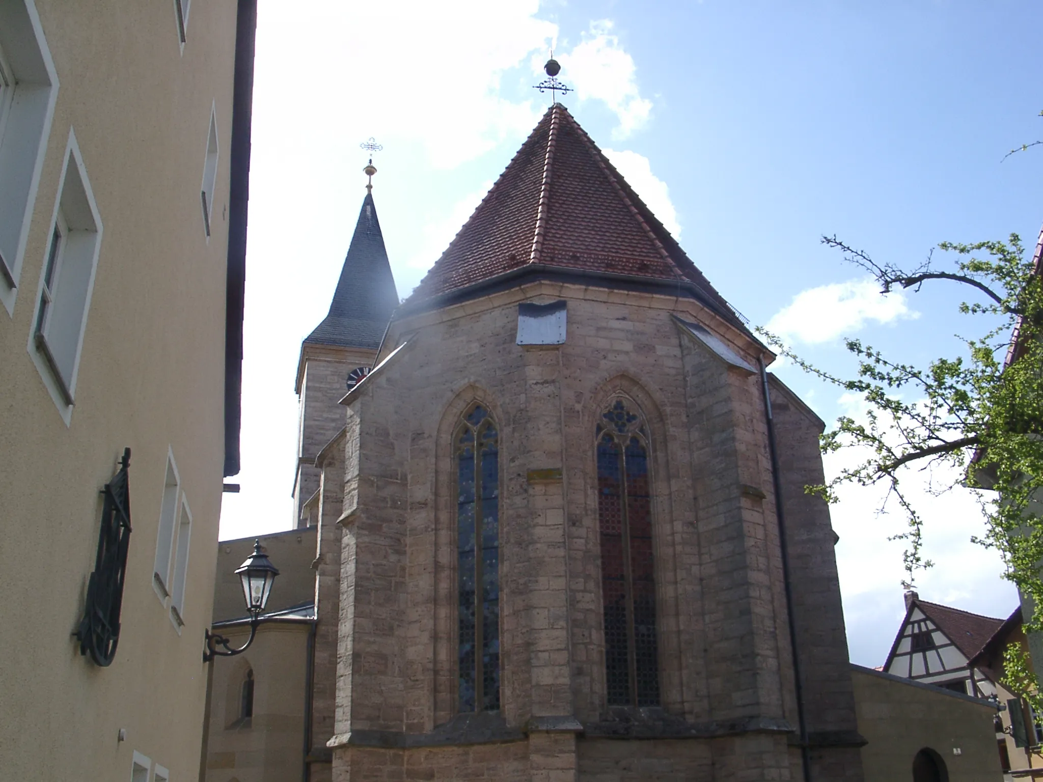
HerriedenTownIn Herrieden, take a moment to explore the charming town and its historical landmarks.
10 km
10 km
Steckberg493 mPeakThe ascent to Steckberg rewards you with stunning panoramic vistas of the surrounding countryside.
22 km
22 km
Münchsberg500 mPeakClimb Münchsberg and be rewarded with magnificent views over the rolling hills.
31 km
31 km
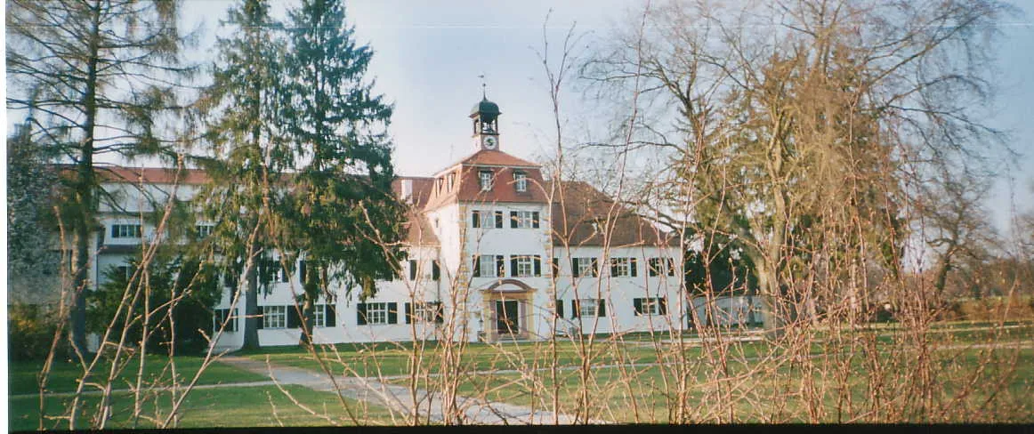
GeslauVillageExplore Geslau and its idyllic landscapes, dotted with quaint villages.
39 km
39 km
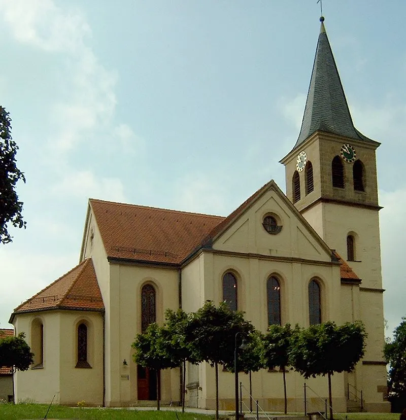
NordenbergVillageNordenberg offers a peaceful refuge amidst nature, perfect for unwinding and appreciating the surroundings.
55 km
55 km
Ersberg343 mPeakErsberg's winding roads take you through beautiful forests and scenic vistas.
66 km
66 km
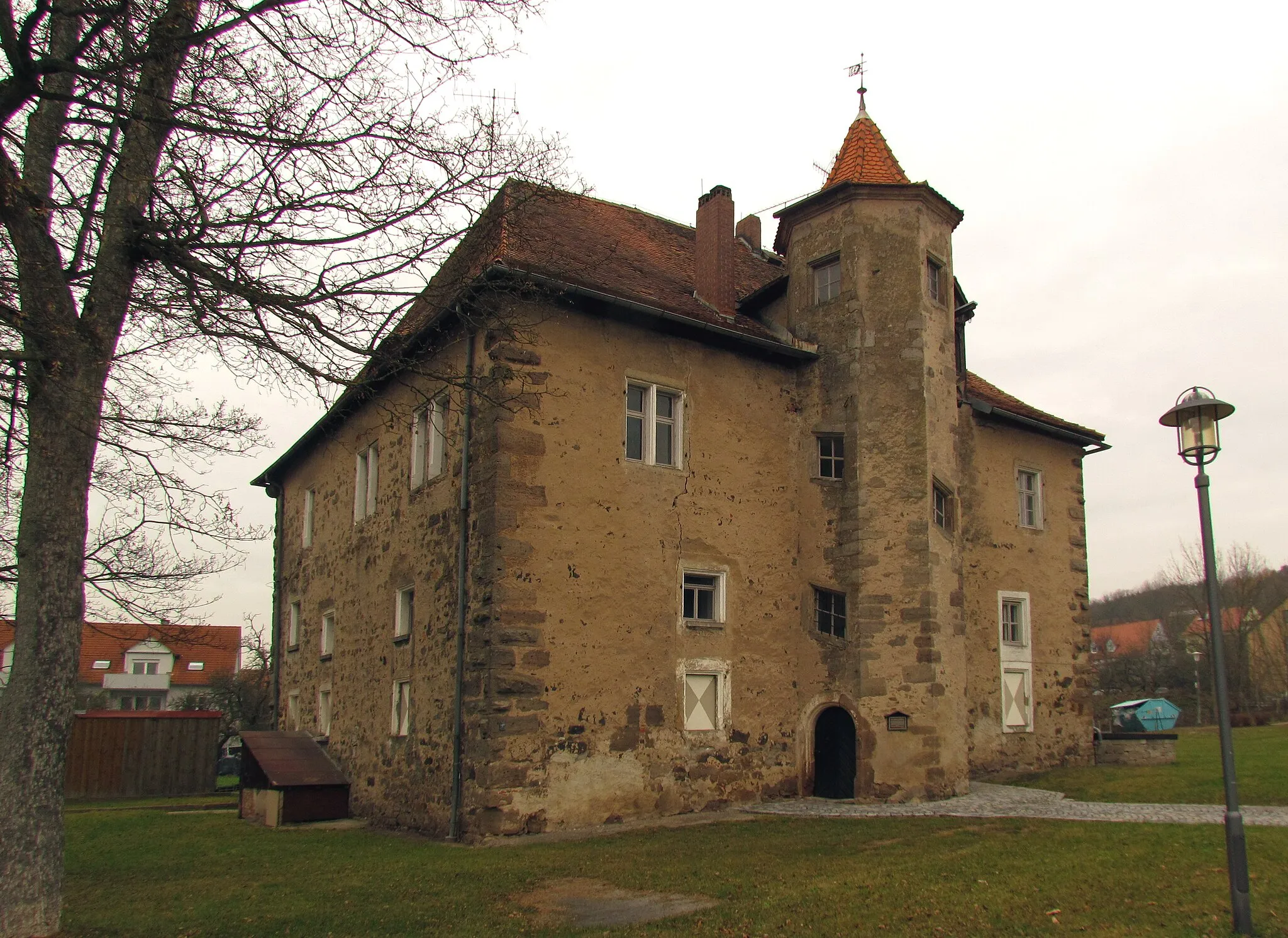
ObernzennVillageReach the heights of Obernzenn and marvel at the breathtaking views of the valley below.
72 km
72 km
Felberg508 mPeakConquer Felberg and enjoy the sense of accomplishment at the top, surrounded by stunning natural beauty.
84 km
84 km
SchmalenbachHamletSchmalenbach offers a picturesque countryside backdrop, perfect for rest and contemplation.
87 km
87 km
Bocksberg480 mPeakBocksberg's unspoiled landscapes invite you to explore the beautiful surroundings.
96 km
96 km
RegmannsdorfVillageRegmannsdorf is a hidden gem, offering tranquility and stunning views of the German countryside.
97 km
97 km
Hohenbuck491 mPeakAt Hohenbuck, savor the thrill of conquering this iconic climb and be rewarded with sweeping panoramic views.
98 km
98 km
Finish: Hohenberg Village centerHerrieden: Cyclist's paradise in Mittelfranken
Cycling routes nearby: