Cycling paradise in Mittelfranken.
Cycling routes from Hochstadt an der Aisch
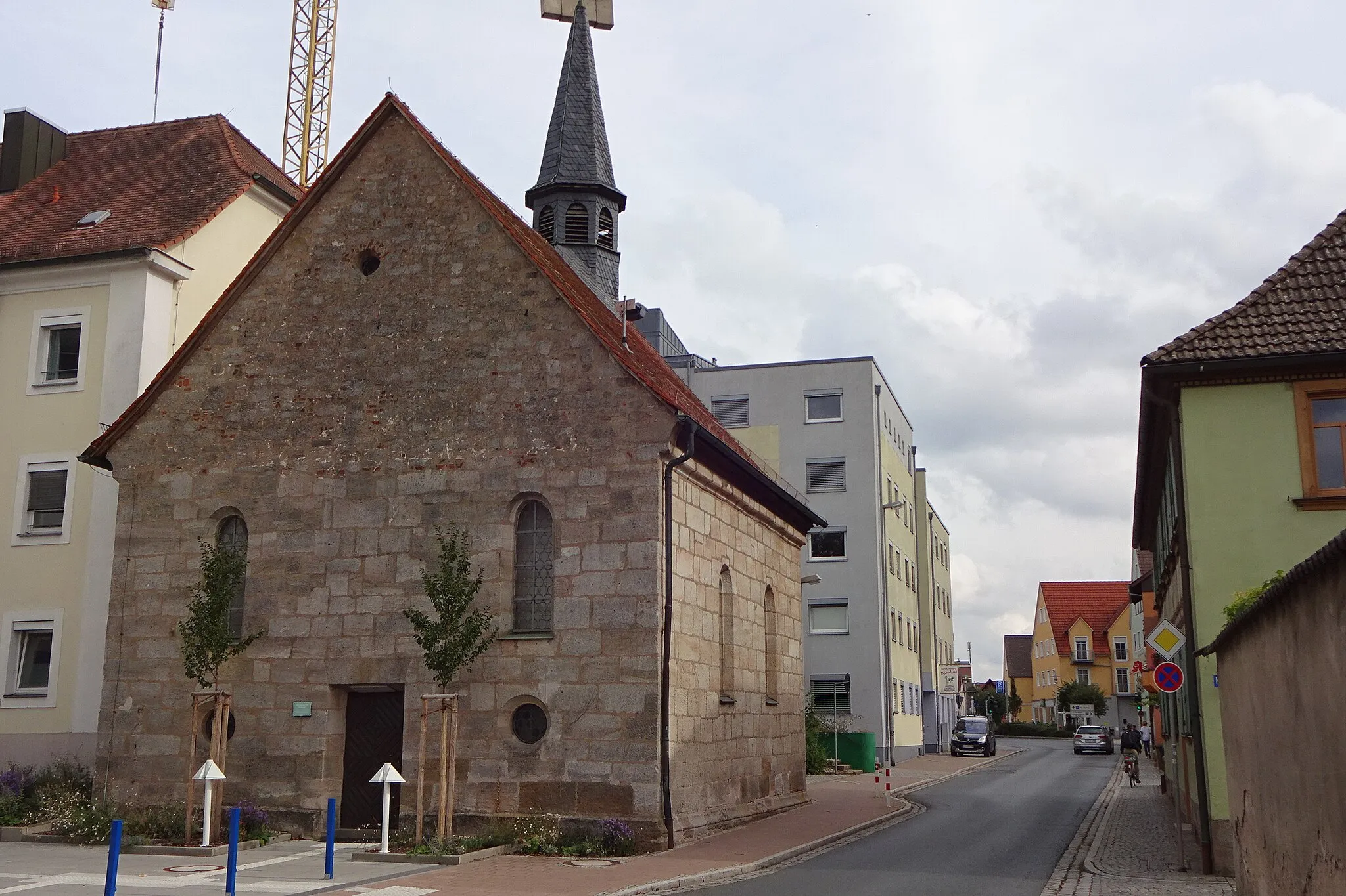
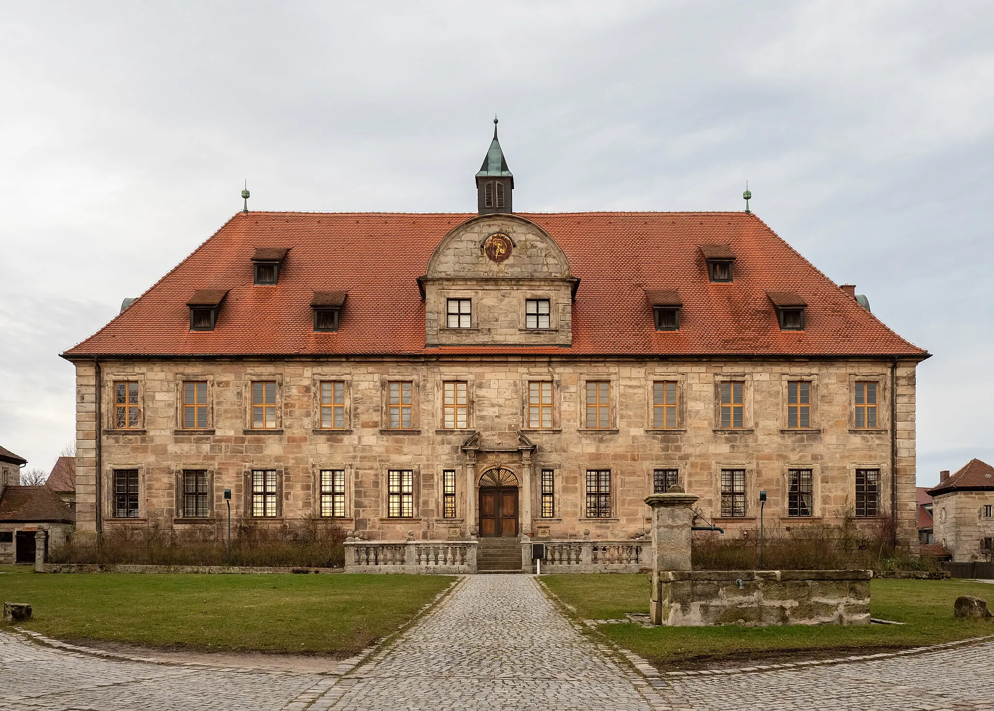
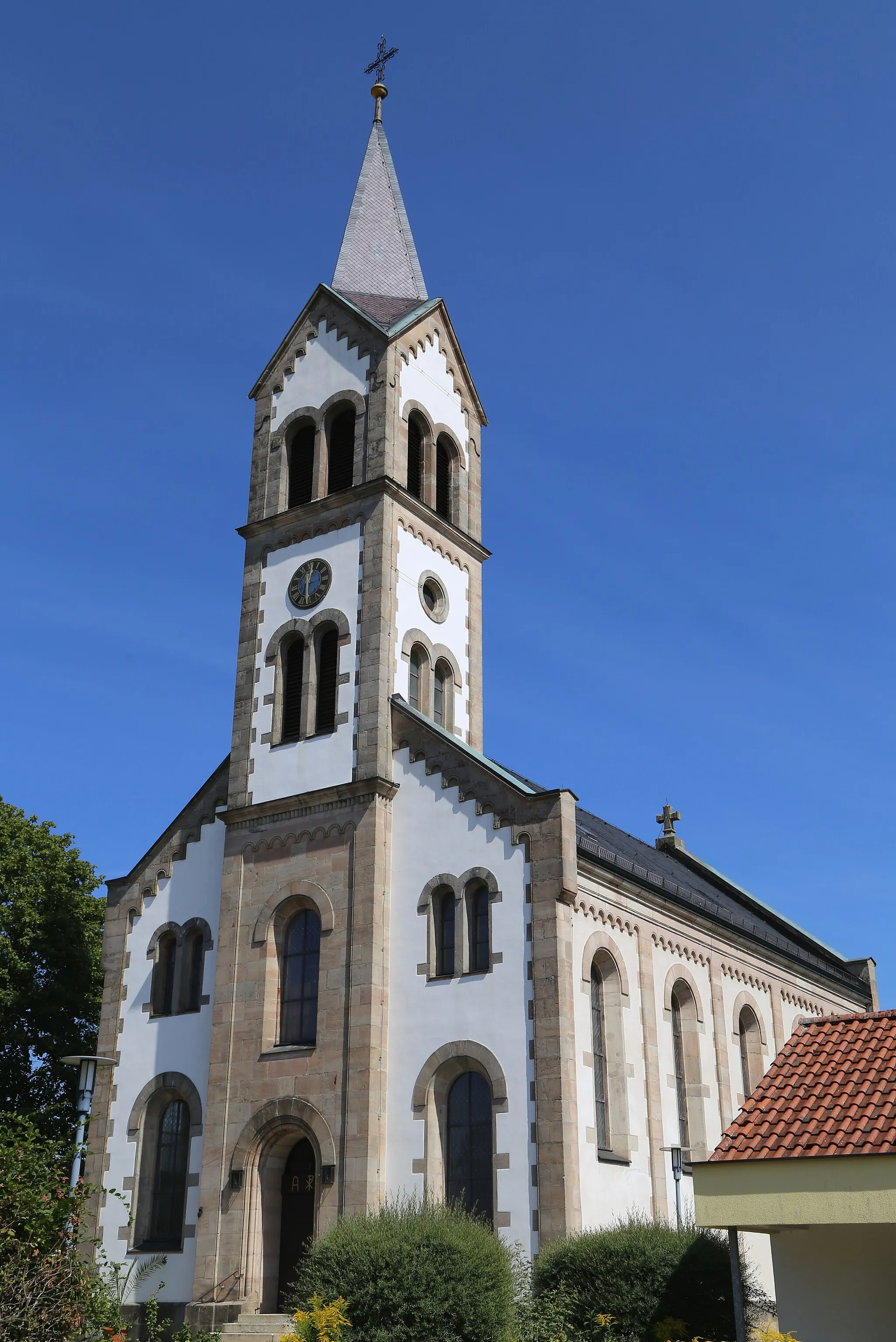
Höchstadt an der Aisch is a cyclist-friendly locality located in the Mittelfranken region of Germany. The area is known for its rolling hills and picturesque landscapes, offering a variety of cycling routes for both road and gravel cyclists. Cyclists can pedal through the Aischgrund region, which is characterized by its charming villages and historic castles. There are also several well-known climbs nearby, such as the Frankenalb, that provide both challenges and stunning views. With its network of well-maintained roads and scenic routes, Höchstadt an der Aisch is a top destination for cyclists of all levels.
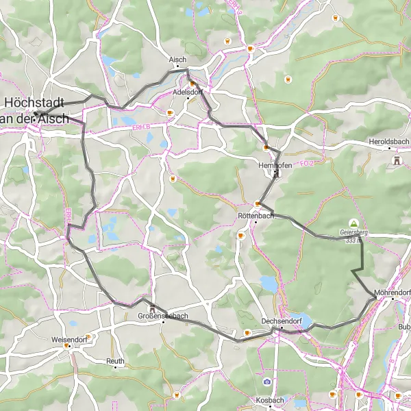
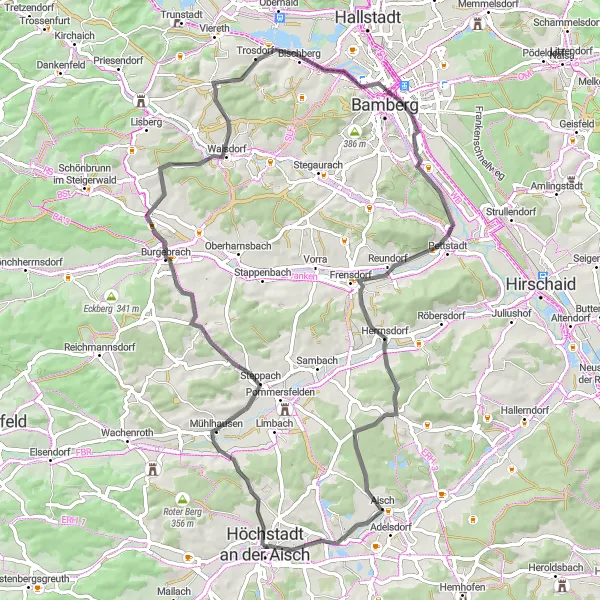
A scenic road cycling route connecting Höchstadt an der Aisch and Erlangen
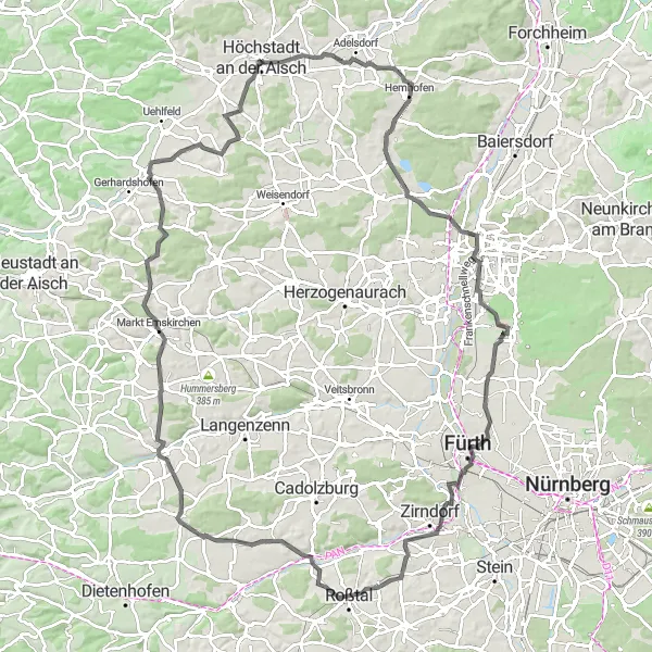
This road cycling route connects Höchstadt an der Aisch with the vibrant city of Erlangen. With a distance of 111 kilometers and an ascent of 834 meters, it provides a moderate to challenging ride for well-trained amateur cyclists. Along the way, you will pass through charming villages such as Hemhofen and Oberasbach, as well as enjoy beautiful landscapes. Highlights include the Zusammenfluss Pegnitz und Rednitz, a point where two rivers meet and create a scenic spot, and the Kapellberg, offering stunning panoramic views of the surrounding countryside. Other notable highlights include Eichelberg, Erlangen, Rehbühl, Herbstbuck, Wilhermsdorf, and Dachsbach.
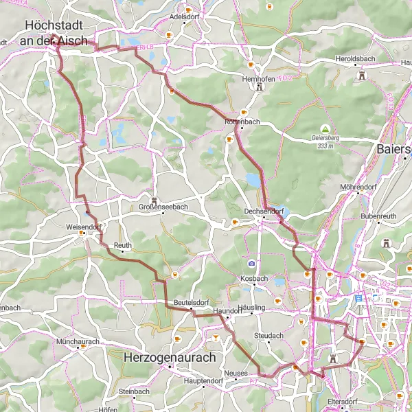
Discover the scenic beauty of Gremsdorf and enjoy birdwatching at Vogelbeobachtungswand.
Embark on a gravel adventure through beautiful landscapes, charming villages, and captivating nature spots. Gremsdorf is a picturesque village known for its traditional architecture and a historic church. Vogelbeobachtungswand is a bird observation wall offering the opportunity to spot various bird species in their natural habitats. With an ascent of 422 meters over a distance of 56 kilometers, this route provides a moderate challenge suitable for gravel enthusiasts.
Discover the charming countryside along the Aischgraben
Embark on a scenic gravel adventure near Höchstadt an der Aisch and explore the idyllic landscapes of Mittelfranken. This route offers a perfect mix of challenging terrains and tranquil settings, allowing you to experience the natural beauty of the region. With a moderate ascent of 474 meters and a distance of 40 kilometers, this ride is suitable for intermediate cyclists who enjoy off-road exploration. Get ready to be captivated by the picturesque town of Burgebrach and the fascinating historical landmarks along the route.
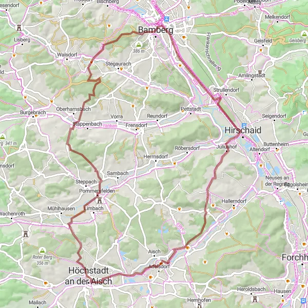
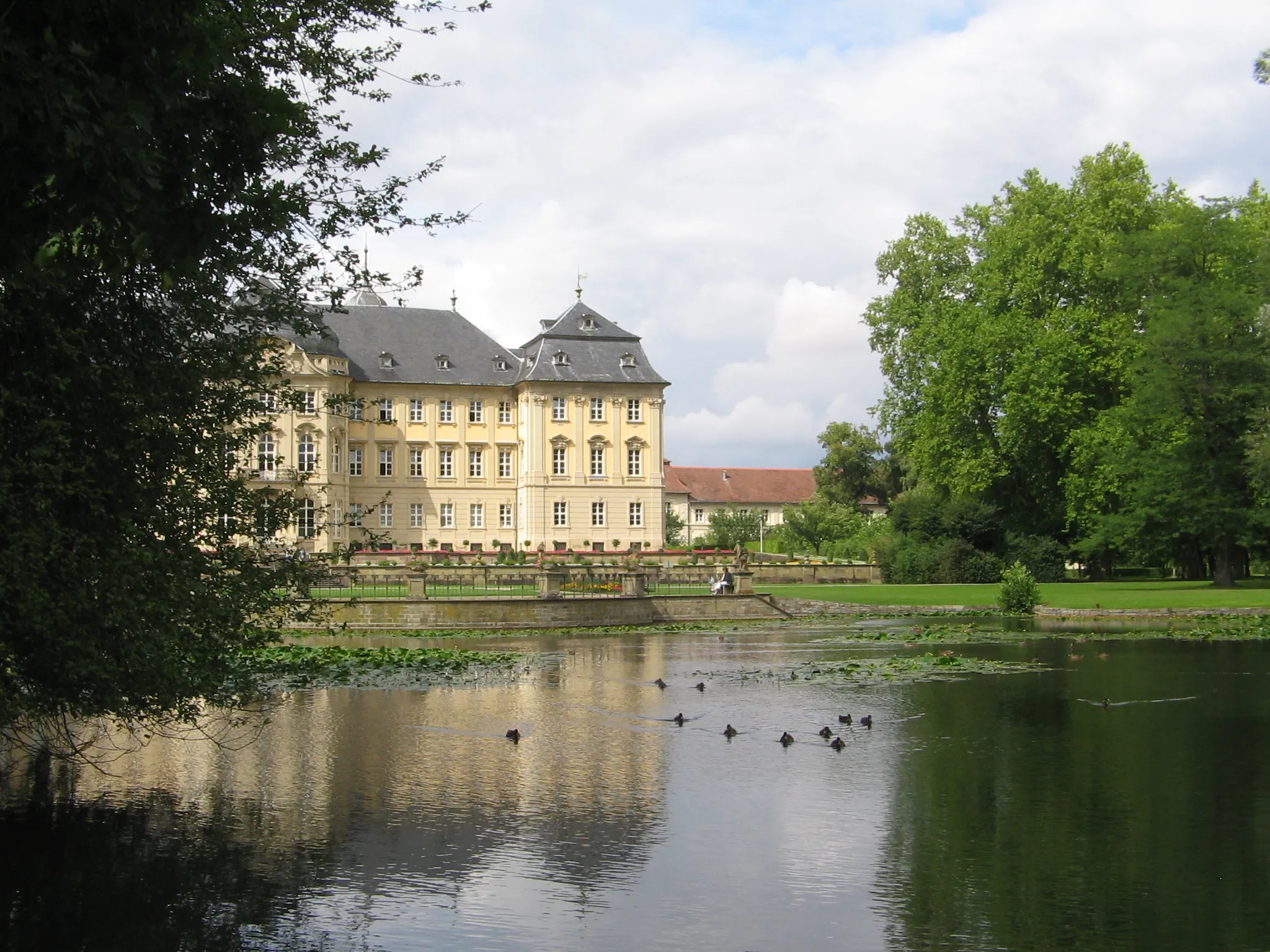
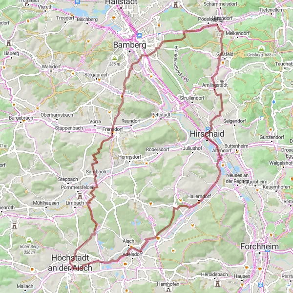
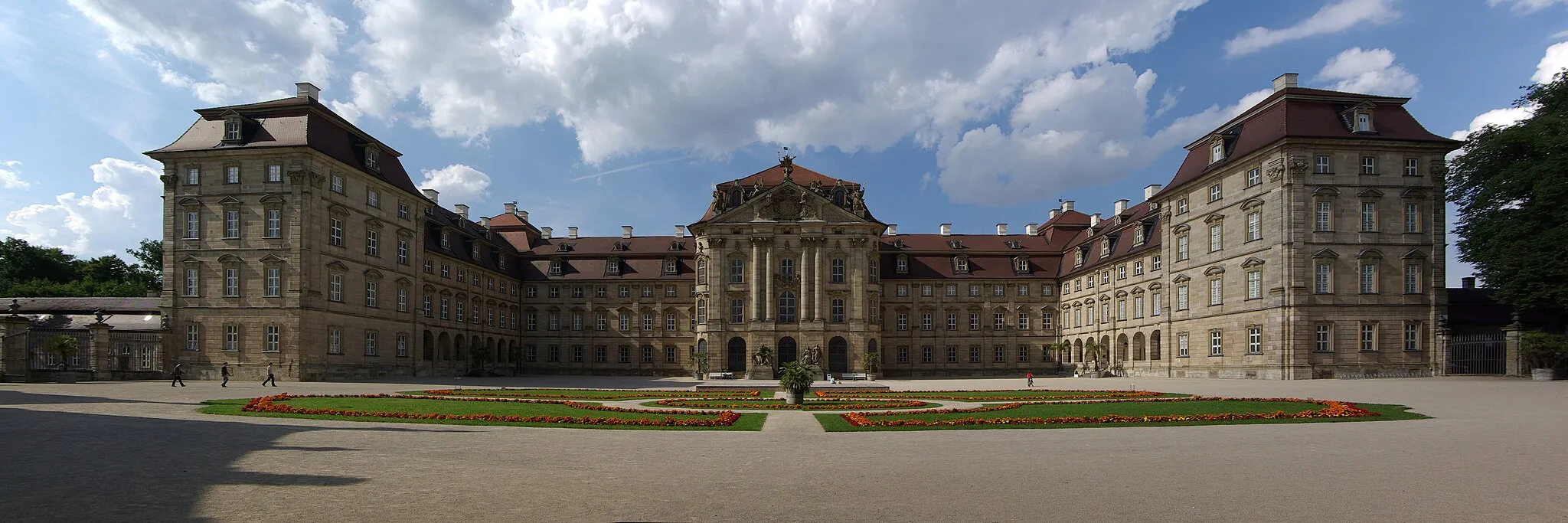
Explore the beauty of Pommersfelden and conquer the famous Kreuzberg.
Experience an adventurous gravel ride through picturesque landscapes and iconic spots. Pommersfelden is a small town that boasts a beautiful palace and stunning gardens. The route takes you to Kreuzberg, a legendary pilgrimage site with breathtaking views from the mountain peak. With an ascent of 647 meters over a distance of 69 kilometers, the route offers a moderate challenge suitable for gravel enthusiasts.

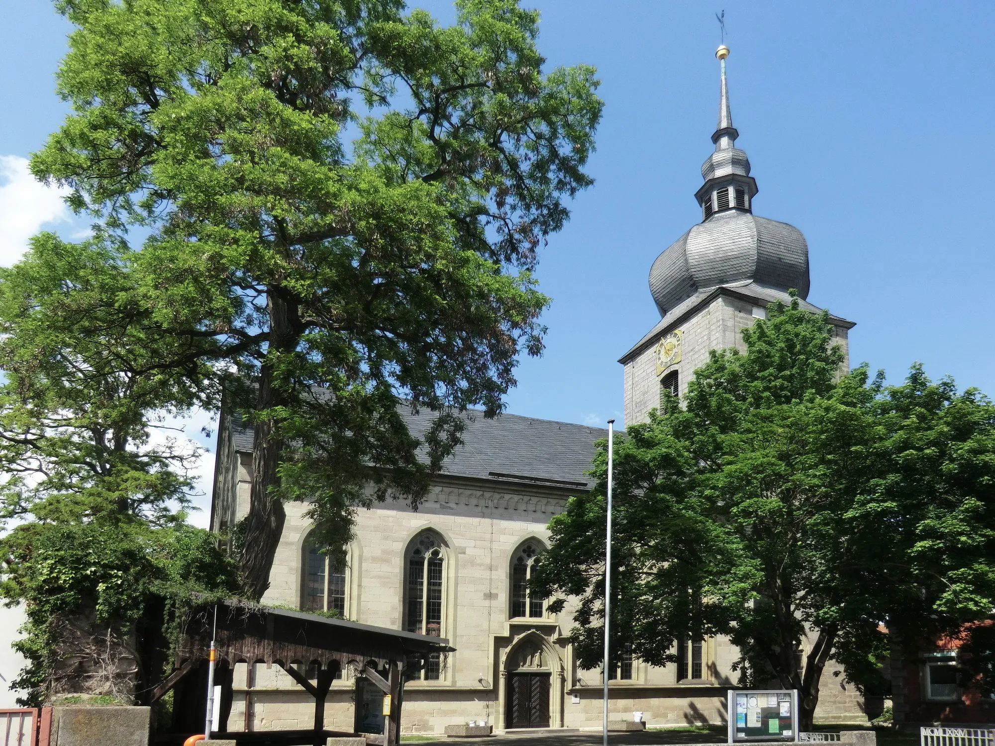
Discover the charm of Lonnerstadt and enjoy panoramic views from Rinsachhöhe.
This road loop takes you through idyllic countryside and scenic villages, with Lonnerstadt and Rinsachhöhe as the main highlights. Lonnerstadt is a charming village known for its traditional Franconian architecture and historic buildings. Rinsachhöhe offers stunning panoramic views of the surrounding landscapes from its hilltop location. The route is suitable for road cycling enthusiasts looking for a moderate challenge, with an ascent of 242 meters over a distance of 30 kilometers.

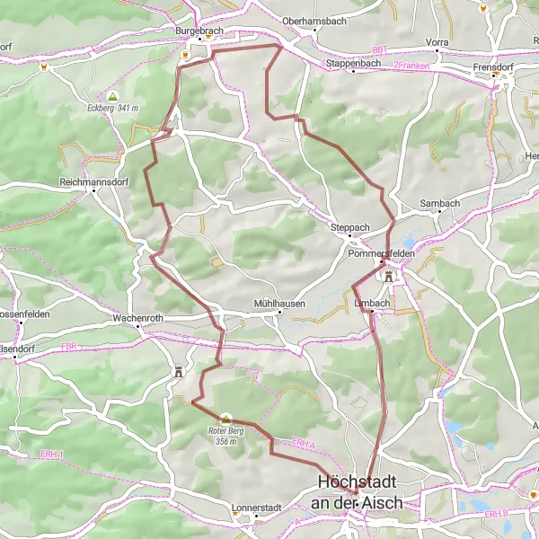
Explore the scenic beauty and historic villages of Höchstadt an der Aisch and Burgebrach.
Immerse yourself in the natural beauty and cultural heritage of Mittelfranken as you embark on this gravel adventure. The route takes you through charming villages and picturesque landscapes, with Höchstadt an der Aisch and Burgebrach as the prominent highlights. Höchstadt an der Aisch offers a captivating old town and rich history, while Burgebrach is known for its picturesque surroundings and a medieval castle. With an ascent of 573 meters over a distance of 51 kilometers, this route provides a moderate challenge for gravel enthusiasts.
Hochstadt Circle Over Hilltops
Experience panoramic views over rolling hills on this road cycling route near Hochstadt an der Aisch
Embark on a picturesque cycling journey through the scenic countryside near Hochstadt an der Aisch. This route offers breathtaking views of rolling hills, charming villages, and peaceful farmlands. With a moderate difficulty level, it is suitable for well-trained amateurs.
The Lonnerstadt Endurance Ride
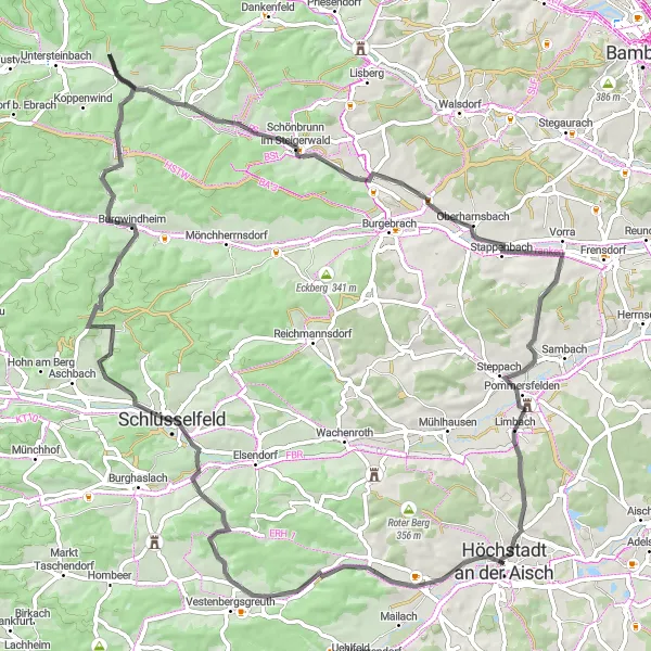
Embark on an endurance road cycling challenge through Lonnerstadt
Prepare to push your limits with this 80-kilometer road cycling route near Höchstadt an der Aisch. The Lonnerstadt Endurance Ride will test your stamina and allow you to discover the scenic beauty of Mittelfranken. With a moderate to high difficulty level and an ascent of 735 meters, this route is recommended for experienced cyclists seeking a challenge. Marvel at the historical landmarks in Burgwindheim and enjoy the enchanting landscapes as you cycle through Schönbrunn im Steigerwald. Immerse yourself in the grandeur of Pommersfelden and soak up the rich culture along the way.
Discover the scenic beauty of Regnitzgrund-Blick on this road cycling adventure
Prepare for a picturesque road cycling adventure near Höchstadt an der Aisch with the Regnitzgrund-Blick Tour. This 73-kilometer route combines stunning landscapes with challenging ascents, making it an ideal choice for experienced cyclists seeking to push their limits. Pedal your way through Stolzenroth and take delight in the surrounding natural beauty. Admire the Baroque charm of Burgebrach before continuing your journey towards Bamberg, where you can explore its UNESCO-listed old town. The route also includes captivating views from the Regnitzgrund-Blick and the serene countryside of Frensdorf. Conclude your adventure in Gremsdorf, known for its picturesque beauty and peaceful atmosphere.
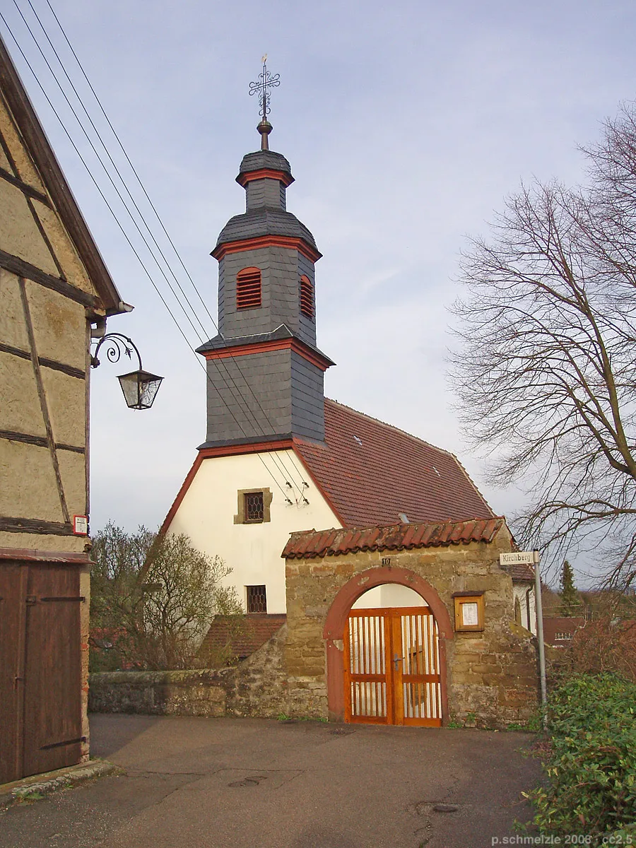
Loop through picturesque countryside with highlights including Kirchberg and Kreuzberg.
This gravel route takes you through scenic landscapes and charming villages, with two noteworthy highlights: Kirchberg and Kreuzberg. Kirchberg is a small village known for its beautiful church and traditional Franconian houses. At the top of Kreuzberg, you'll find a pilgrimage church and a popular beer garden. The route offers a moderate challenge with an ascent of 690 meters over a distance of 74 kilometers.
Cycling routes nearby:


Nearby regions: