Gremsdorf and Vogelbeobachtungswand Adventure (Gravel)
A gravel cycling route starting from Hochstadt an der Aisch
Discover the scenic beauty of Gremsdorf and enjoy birdwatching at Vogelbeobachtungswand.
Map
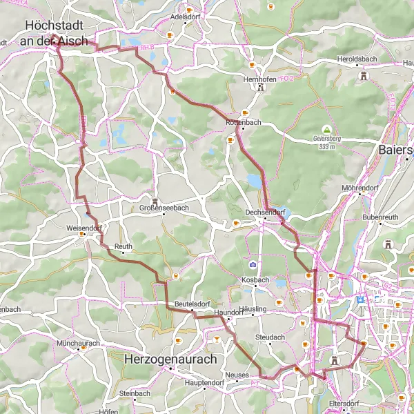
Embark on a gravel adventure through beautiful landscapes, charming villages, and captivating nature spots. Gremsdorf is a picturesque village known for its traditional architecture and a historic church. Vogelbeobachtungswand is a bird observation wall offering the opportunity to spot various bird species in their natural habitats. With an ascent of 422 meters over a distance of 56 kilometers, this route provides a moderate challenge suitable for gravel enthusiasts.
gravel
56 km
422 m
Tough
Route profile
Highlights on the route
0 km
0 km
Start: Höchstadt an der Aisch City centerHöchstadt an der Aisch: Cycling paradise in Mittelfranken.
Höchstadt an der Aisch is a cyclist-friendly locality located in the Mittelfranken region of Germany. The area is known for its rolling hills and picturesque landscapes, offering a variety of cycling routes for both road and gravel cyclists. Cyclists can pedal through the Aischgrund region, which is characterized by its charming villages and historic castles. There are also several well-known climbs nearby, such as the Frankenalb, that provide both challenges and stunning views. With its network of well-maintained roads and scenic routes, Höchstadt an der Aisch is a top destination for cyclists of all levels.3 km
3 km
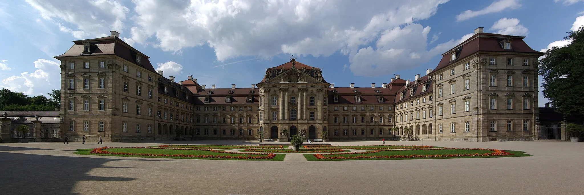
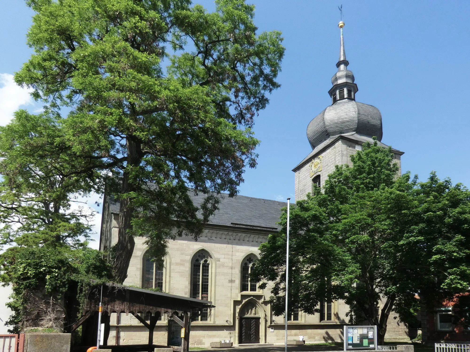
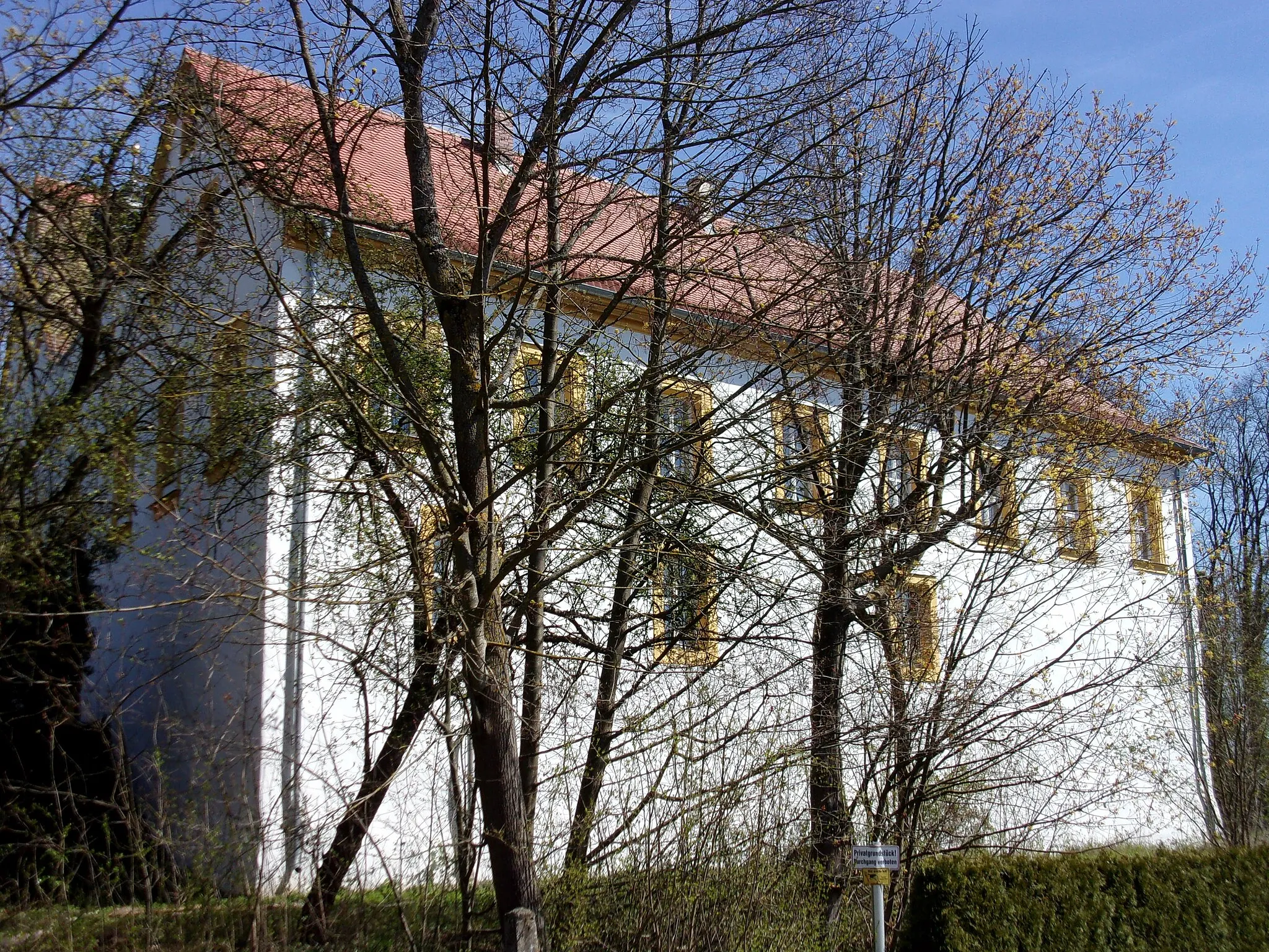
GremsdorfVillageGremsdorf is a quaint village with charming architecture and a historic church, perfect for a picturesque stop.
10 km
10 km
Erlangen-BlickViewpointErlangen-Blick is a viewpoint offering stunning panoramic views of the city of Erlangen and its surroundings.
15 km
15 km
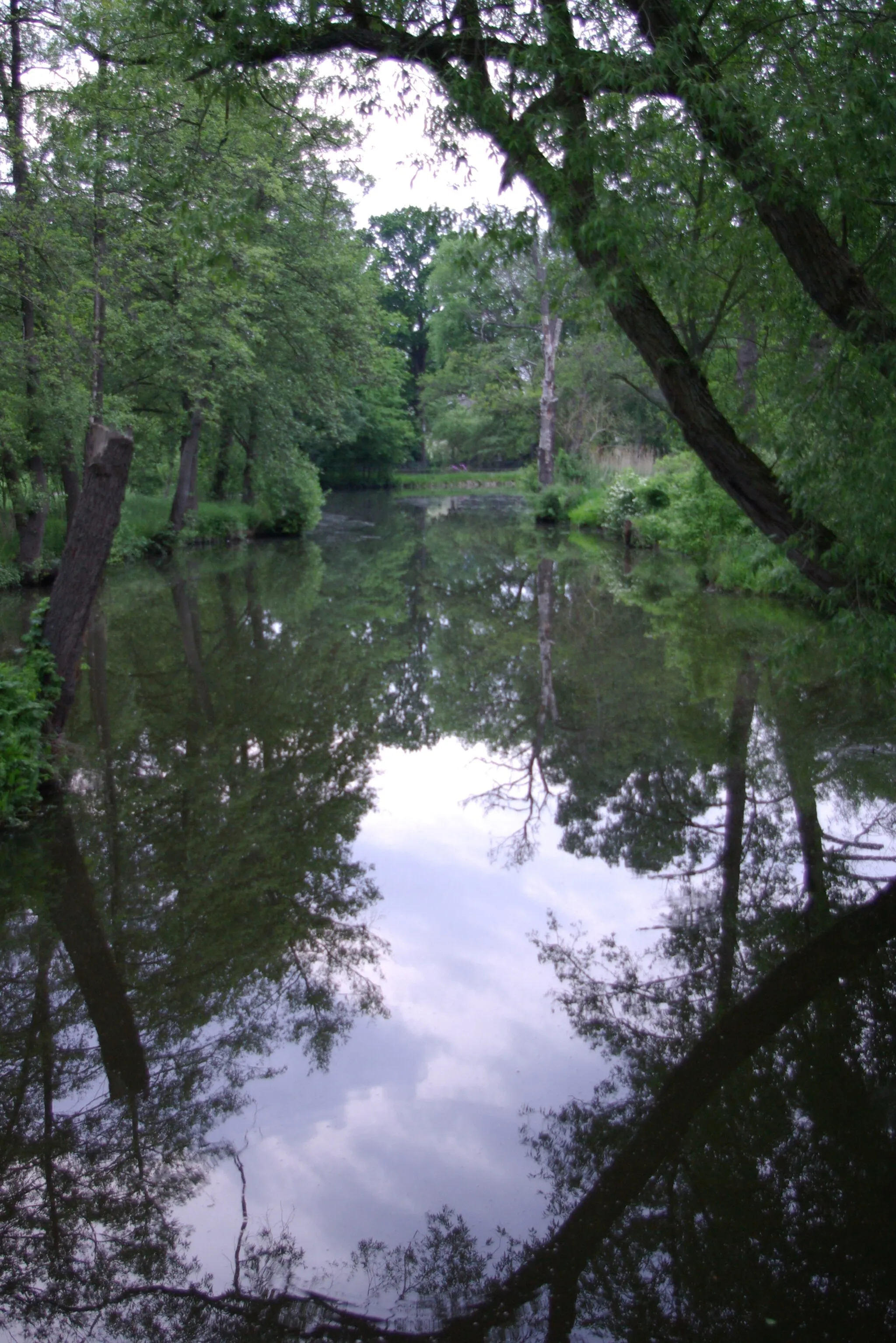
VogelbeobachtungswandViewpointVogelbeobachtungswand is a bird observation wall where nature enthusiasts can enjoy watching various bird species.
21 km
21 km
AlterlangenSub-urbAlterlangen is a leafy suburb of Erlangen, famous for its green spaces and biking trails.
30 km
30 km
FrauenaurachSub-urbFrauenaurach is a charming village with idyllic surroundings, perfect for a leisurely break along the route.
32 km
32 km
Wagnersberg297 mPeakWagnersberg is a scenic hill with panoramic views over the surrounding landscapes.
45 km
45 km
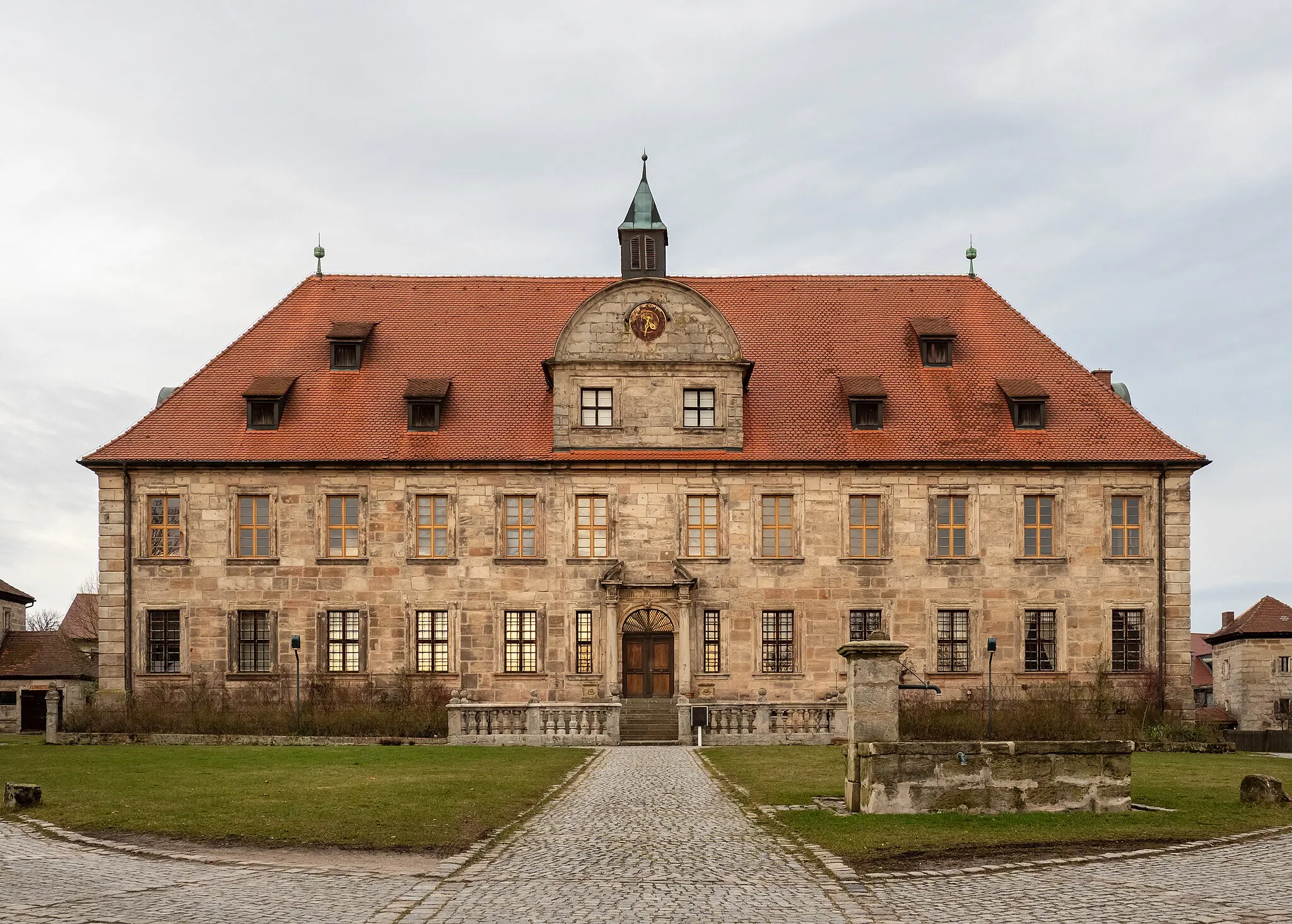
WeisendorfVillageWeisendorf is a traditional Franconian village known for its well-preserved historic buildings and picturesque countryside.
52 km
52 km
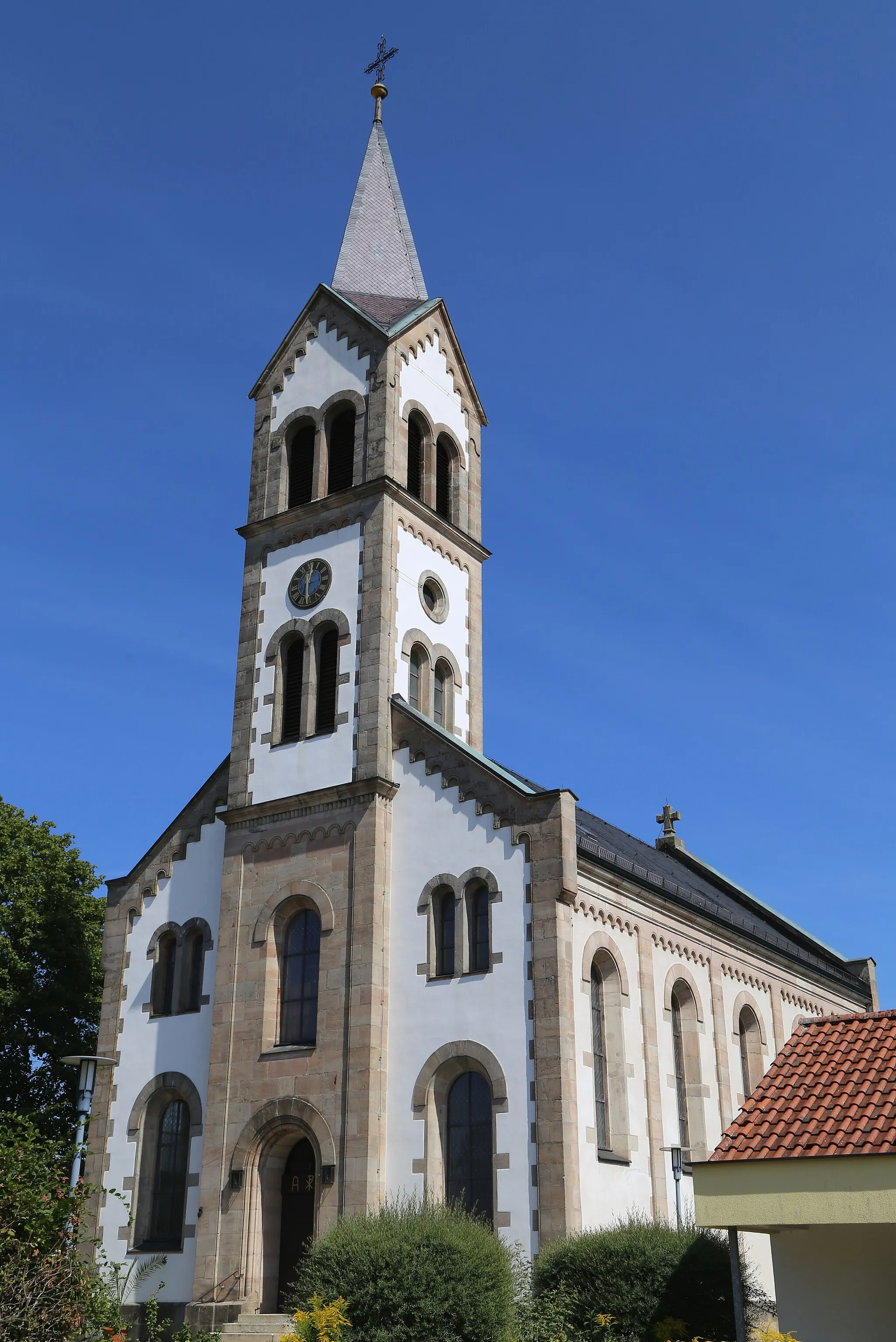
Pfaffenberg328 mPeakPfaffenberg is a small village with a medieval castle and beautiful landscapes, offering a glimpse into the region's history.
56 km
56 km
Finish: Höchstadt an der Aisch City centerHöchstadt an der Aisch: Cycling paradise in Mittelfranken.
Cycling routes from Hochstadt an der Aisch:
Höchstadt an der Aisch and Burgebrach Adventure (Gravel) The Aischgraben Gravel Adventure Lonnerstadt and Rinsachhöhe Loop (Road) Kirchberg and Kreuzberg Loop (Gravel) The Lonnerstadt Endurance Ride Pommersfelden and Kreuzberg Adventure (Gravel) The Reichmannsdorf Road Loop Gremsdorf and Vogelbeobachtungswand Adventure (Gravel) Hochstadt Circle Over Hilltops The Regnitzgrund-Blick Tour Höchstadt Circular Road Cycling Route Höchstadt and Erlangen Road Cycling Route
Cycling routes nearby: