Charming locality with picturesque countryside routes and annual cycling festival.
Cycling routes from Uehlfeld
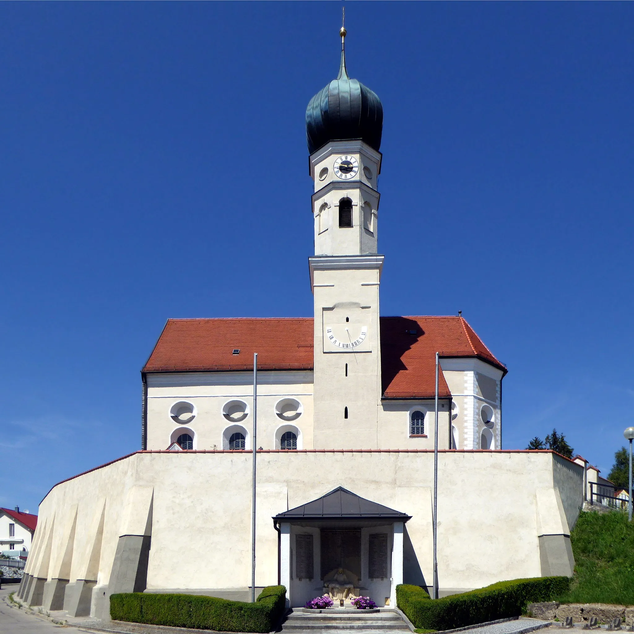
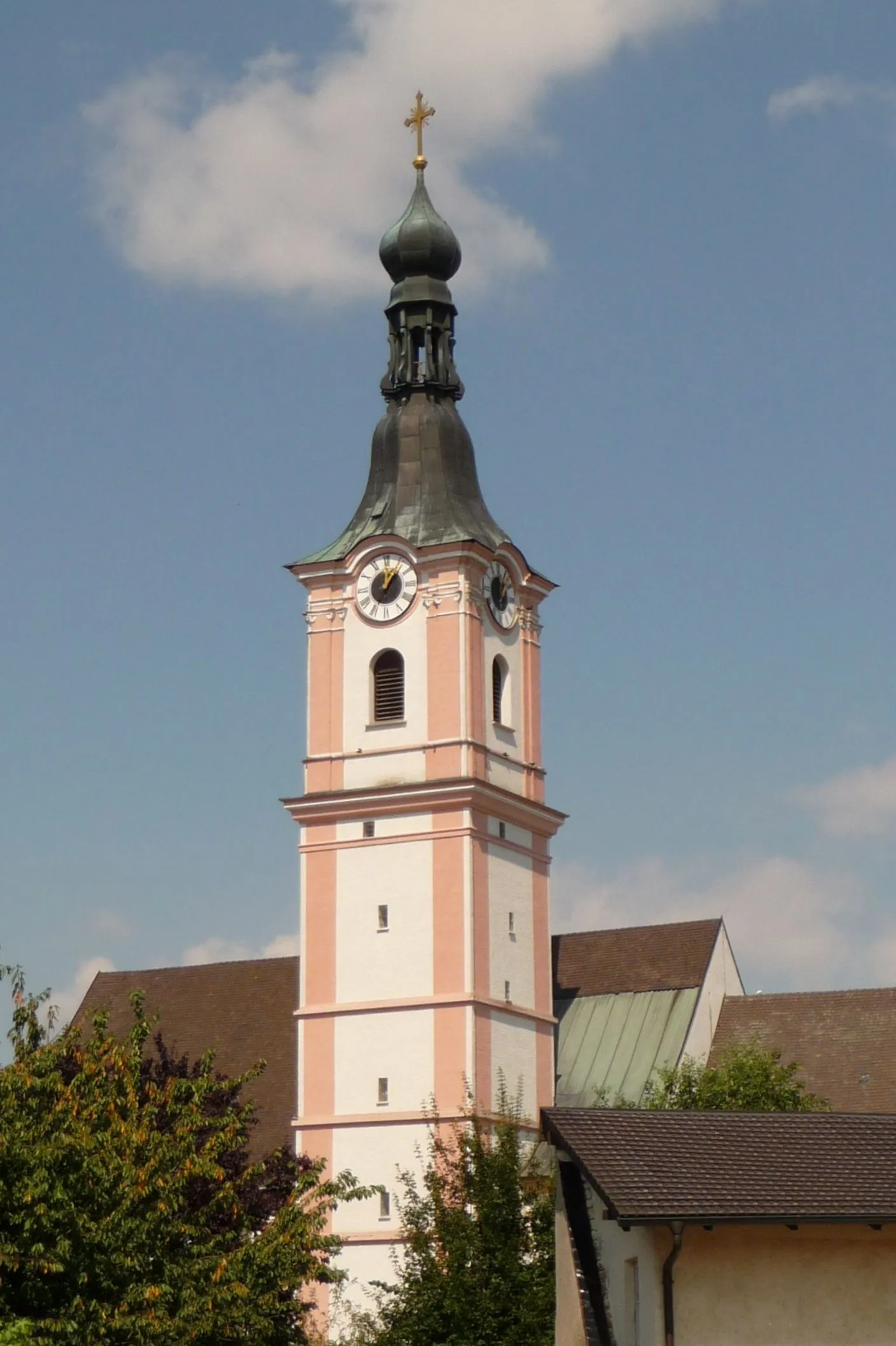
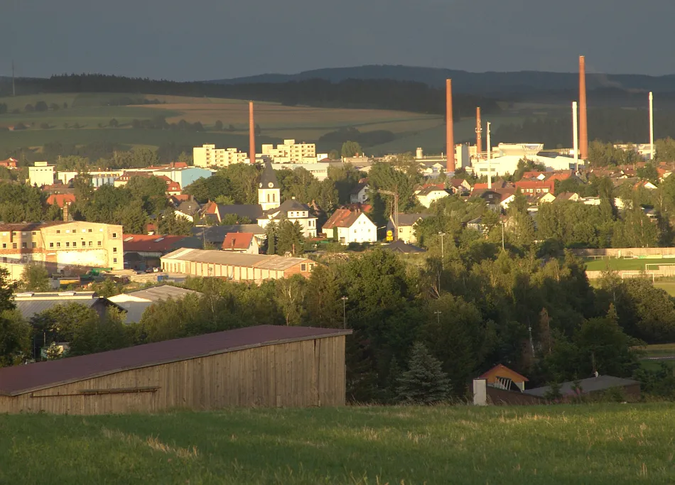
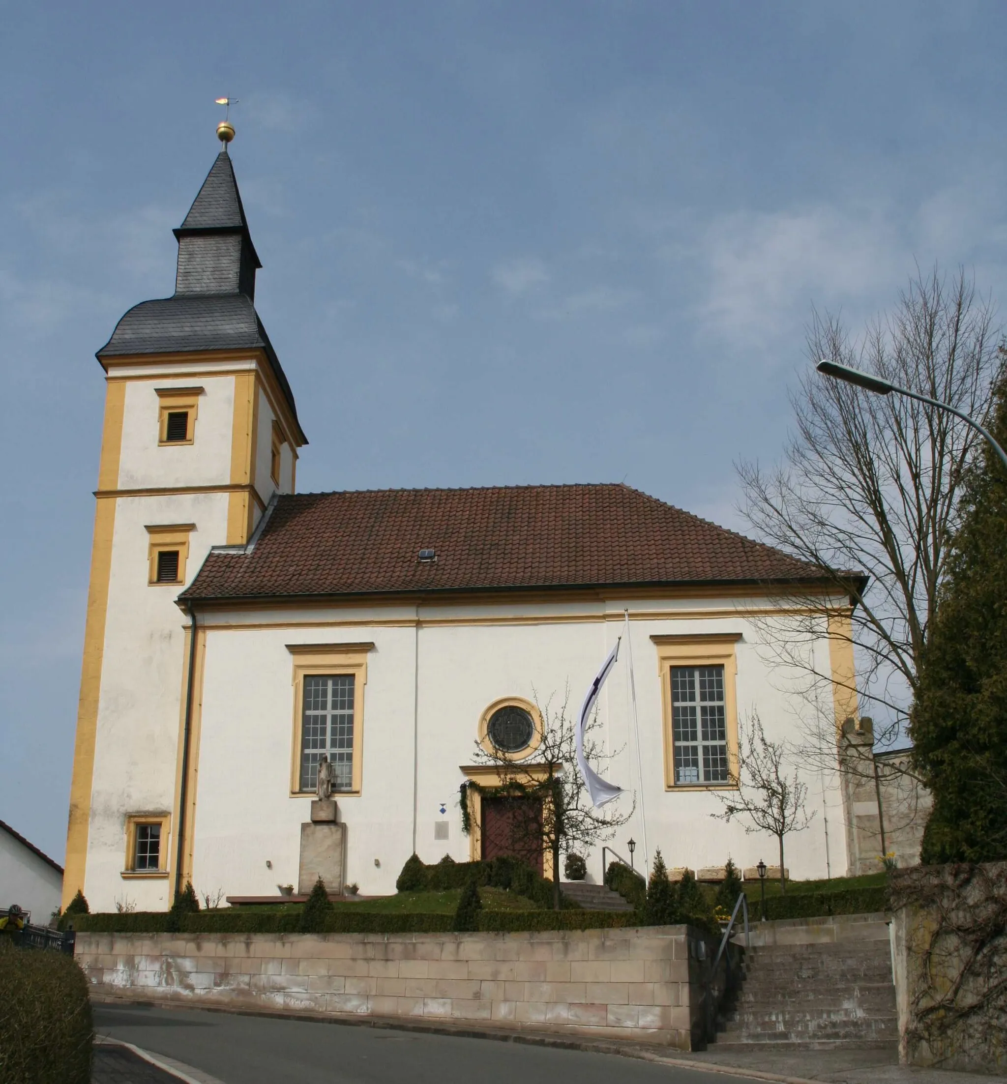
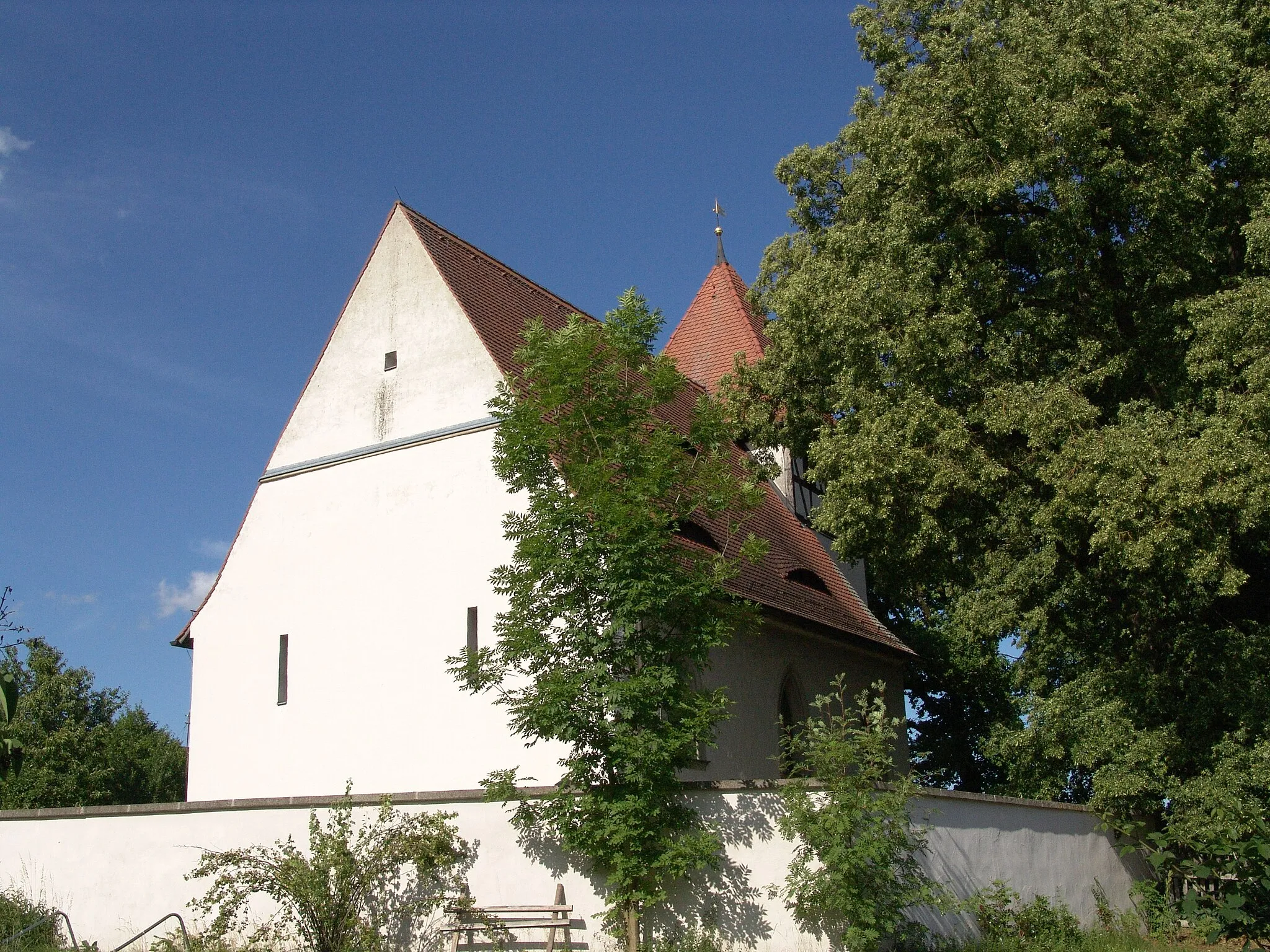
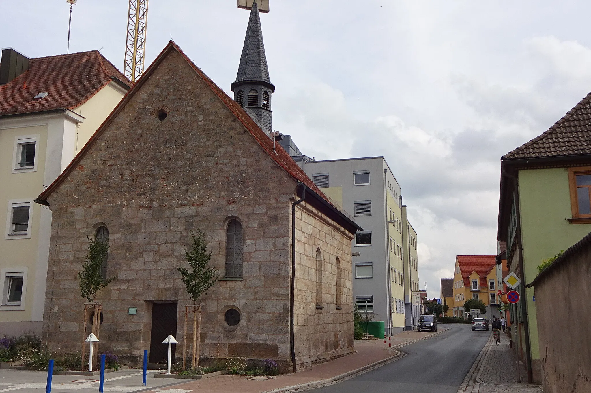
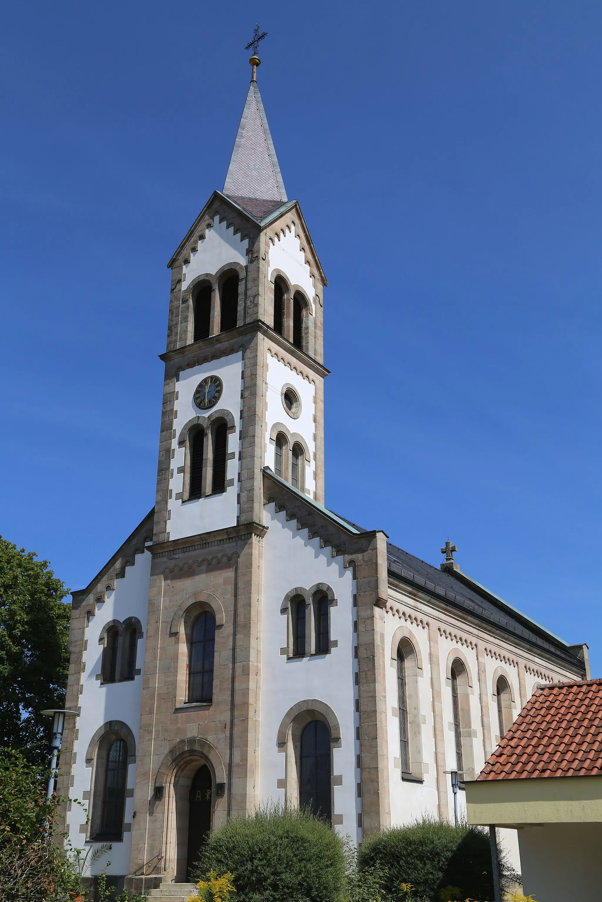
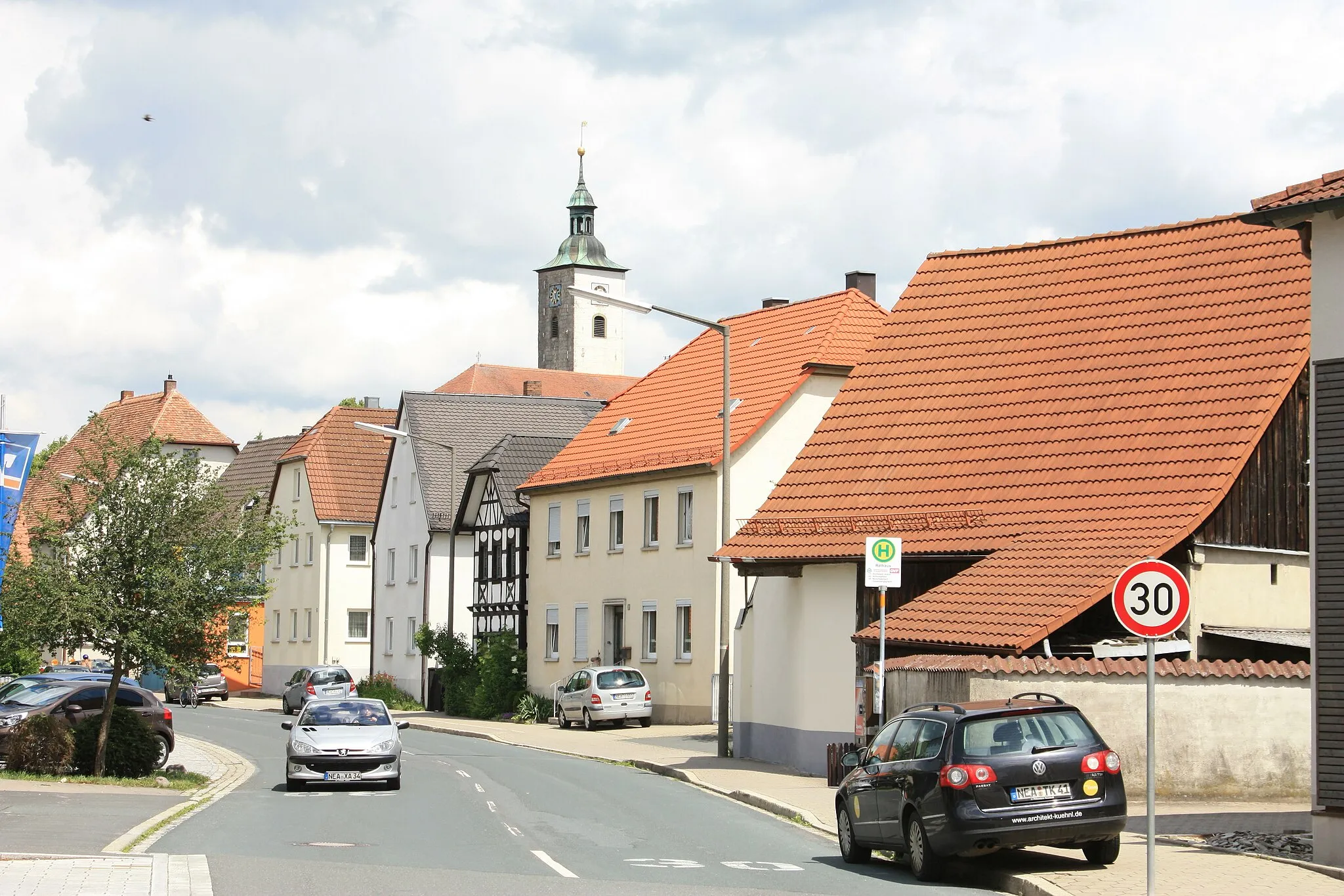
Uehlfeld is a locality located in Mittelfranken, Germany. Cycling in Uehlfeld is a pleasant experience, with numerous well-marked cycling paths and quiet country roads to explore. The surrounding region boasts beautiful countryside scenery, dotted with charming villages and historical landmarks. Road cyclists and gravel cyclists will find suitable routes for all levels of difficulty. Uehlfeld is also known for hosting the annual Schneider Bike Festival, attracting cycling enthusiasts from all over the region. Overall, Uehlfeld provides a welcoming atmosphere for cyclists and offers a wealth of opportunities to explore the scenic surroundings on two wheels.
Enjoy a scenic gravel ride through the picturesque countryside.
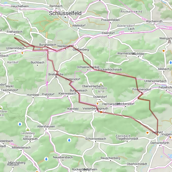
This 35 km gravel route is perfect for beginners or those looking for a shorter adventure. With an ascent of 461 meters, this ride offers a moderate challenge with rewarding views along the way. Start your journey in Uehlfeld and explore the surrounding countryside. Pass through Breitenlohe and Freihaslach before returning to Uehlfeld. Take a moment to admire the views from the top of Düllberg, and soak in the tranquility of the rural landscape. This route is a great way to experience the beauty of Mittelfranken in a shorter timeframe.
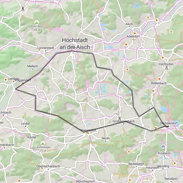
A scenic road ride with diverse highlights
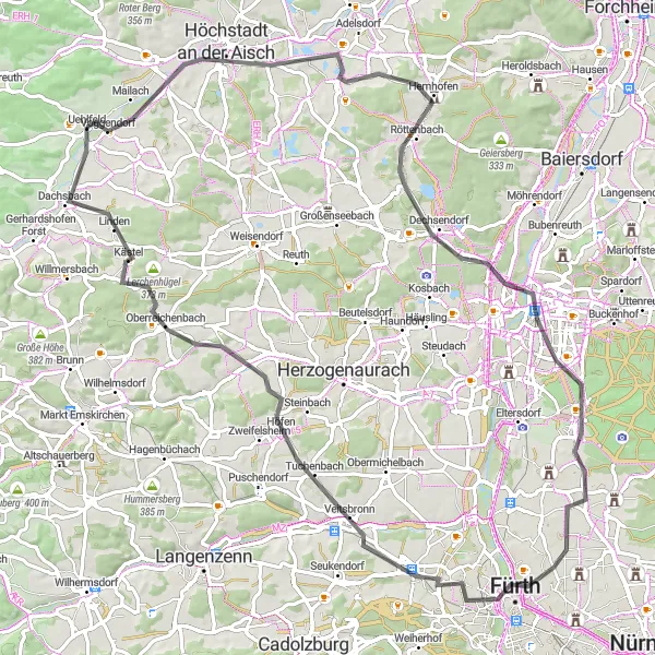
This scenic road route starting near Uehlfeld takes cyclists through stunning countryside and charming towns. With a total of 502 meters of ascent over a distance of 86 kilometers, it provides a moderate challenge for well-trained amateur riders. The highlights of this route include Lauberberg, Höchstadt an der Aisch, Erlangen, and Steinberg. These places offer diverse attractions, ranging from picturesque panoramic views to historical landmarks. The route also passes through Lerchenbühl, Veitsbronn, and Dachsbach, where riders can experience the local culture and enjoy a relaxing break. The difficulty of this route is rated 3 out of 5 due to the moderate ascent, while its epicness is rated 2 out of 5 for its scenic beauty and cultural attractions.
The Gravel Adventure

Experience the beauty of hidden trails and discover picturesque villages.
Get ready for an exhilarating gravel ride through the scenic countryside of Mittelfranken. This route offers a variety of landscapes, from rolling hills to dense forests and charming villages. With a total distance of 63 km and an ascent of 631 meters, this route is suitable for experienced gravel bikers. Take in the stunning views from Gerhardshofen and enjoy the thrill of riding through the challenging Rennersberg. Explore the historic Dietersheim and the enchanting Marberg. Don't miss the opportunity to visit Münchsteinach and Tragelhöchstädt, two iconic highlights along the way.
A short but challenging gravel ride through hilly terrain
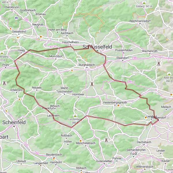
This challenging gravel route starting near Uehlfeld offers a thrilling adventure to cycling enthusiasts. With 689 meters of ascent over a distance of 57 kilometers, it is ideal for experienced amateur riders. The highlights of this route include Tragelhöchstädt, Prühler Berg and Uehlfeld. These spots showcase stunning natural scenery, including hills and forests. The route also passes through Lerchenberg, Schlüsselfeld, and other charming villages with unique local character. The difficulty of this route is rated 3 out of 5 due to the significant but manageable ascent, while its epicness is rated 2 out of 5 for its scenic beauty and challenging terrain.
Gravel Route 1
An adventurous gravel ride with nature highlights
This gravel route starting near Uehlfeld takes cyclists on an adventurous journey through nature. With 475 meters of ascent over a distance of 72 kilometers, it is suitable for well-trained amateur cyclists. The highlights of this route include the Höchstadt-Blick, Vogelbeobachtungswand, and Hirtenberg. These spots offer unique opportunities for bird watching, breathtaking views, and rugged natural beauty. The route also passes through charming villages like Obermichelbach and Peppenhöchstädt, where riders can take a break and explore the local culture. The difficulty of this route is rated 2 out of 5 due to the moderate ascent, while its epicness is rated 3 out of 5 for its adventurous nature and scenic landscapes.
The Road to Adventure

Embark on a memorable road cycling journey through scenic landscapes.
Get ready for a 70 km road cycling adventure that will take you through some of the most beautiful landscapes in Mittelfranken. With an ascent of 458 meters, this route offers a moderate challenge suitable for intermediate riders. Start your journey in Uehlfeld and pass through Lauberberg before continuing on to Höchstadt an der Aisch. Explore the charming village of Hemhofen and take in the views from Geiersberg. Cycle through Bubenreuth and Wagnersberg before reaching Herzogenaurach. Don't miss the opportunity to visit Schwelgenberg and Storchennest before returning to Uehlfeld. This route combines scenic beauty with cultural highlights that are sure to make your journey unforgettable.
Conquer the toughest gravel routes and reach new heights.
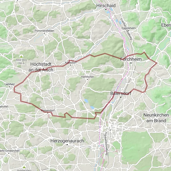
Prepare for the ultimate gravel challenge with this 80 km route that will take you through diverse landscapes and push your skills to the limit. With an ascent of 658 meters, this route is designed for experienced gravel bikers looking for an adrenaline rush. Take on the Lauberberg ascent and experience the thrill of conquering Adelsdorf and Forchheim. Marvel at the views from Kellerberg and Pinzberg before reaching Möhrendorf and Dreiberg. As you near the end of the route, don't miss the opportunity to visit the picturesque villages of Weisendorf and Peppenhöchstädt.
Embark on a thrilling road cycling journey through picturesque landscapes.
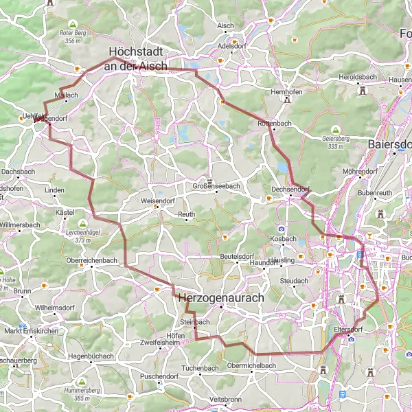
Discover the beauty of Mittelfranken on this 42 km road cycling adventure. With a moderate ascent of 218 meters, this route is suitable for both beginner and intermediate riders. Start your journey in Uehlfeld and cycle through scenic countryside, passing through charming villages along the way. Enjoy the views from Lauberberg and challenge yourself with the ascent to Eichelberg. Visit Großenseebach and Arnshöchstädt before returning to Uehlfeld. This route offers a perfect blend of natural beauty and cultural highlights.
Road Route 3
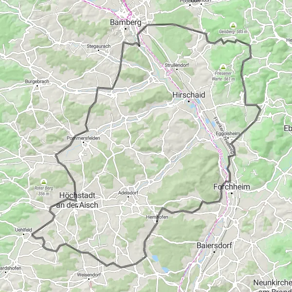
A challenging road ride with historic highlights
This challenging road route starting near Uehlfeld takes cyclists on a journey through history and picturesque landscapes. With 961 meters of ascent over a distance of 109 kilometers, it is suitable for experienced amateur riders. The highlights of this route include Lauberberg, Höchstadt an der Aisch, Bamberg-Blick, and Forchheim. These places offer an opportunity to explore historical sites, such as the impressive Bamberg-Blick and the charming town of Forchheim. The route also passes through Erlangen, Heroldsbach, and Wildwasserbahn, where riders can enjoy scenic views and experience the local culture. The difficulty of this route is rated 4 out of 5 due to the challenging ascent, while its epicness is rated 4 out of 5 for its historical significance and remarkable landmarks.
Road Route 1
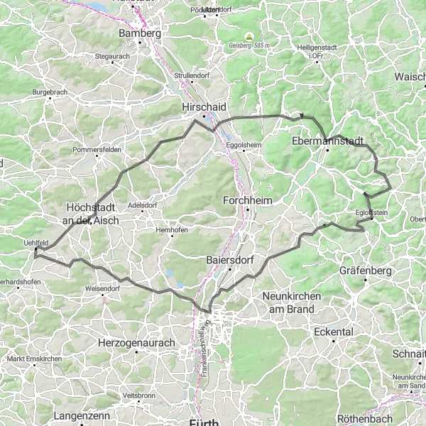
A challenging road ride with stunning views
This scenic road route starting near Uehlfeld takes you through picturesque landscapes and charming villages. With a total of 1,397 meters of ascent over a distance of 120 kilometers, it offers a good challenge for well-trained amateur cyclists. The route passes through highlights such as the Lauberberg, Höchstadt an der Aisch, Altendorf, Ebermannstadt, and Almersberg. These places offer unique sights and interesting history, providing an enriching experience for riders. The difficulty of this route is rated 4 out of 5 due to the significant ascent, while its epicness is rated 3 out of 5 for its scenic beauty and cultural attractions.
Cycling routes nearby:


Nearby regions: