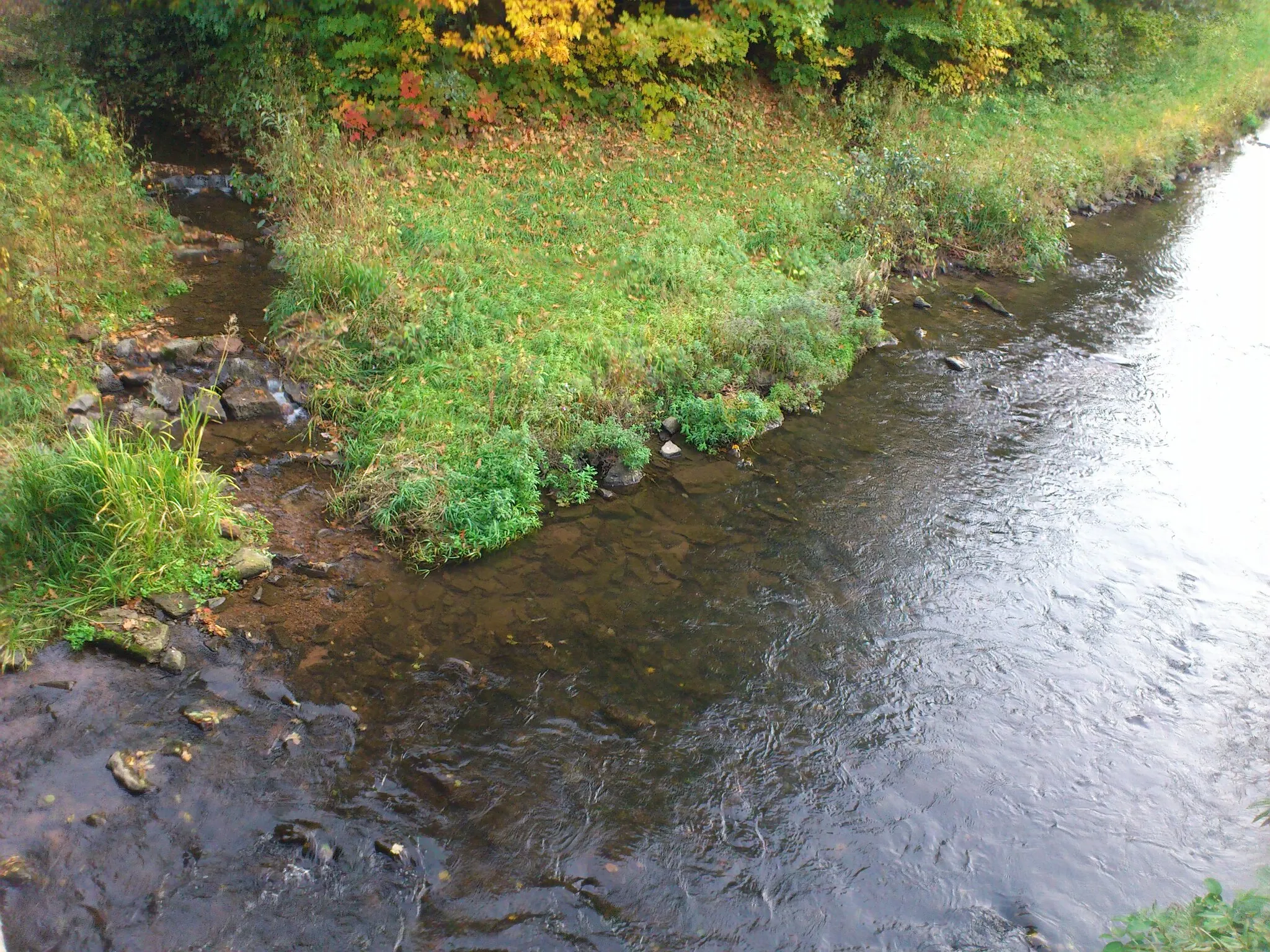
Meander through the picturesque Franconian countryside.
Cycling routes from Vestenbergsgreuth
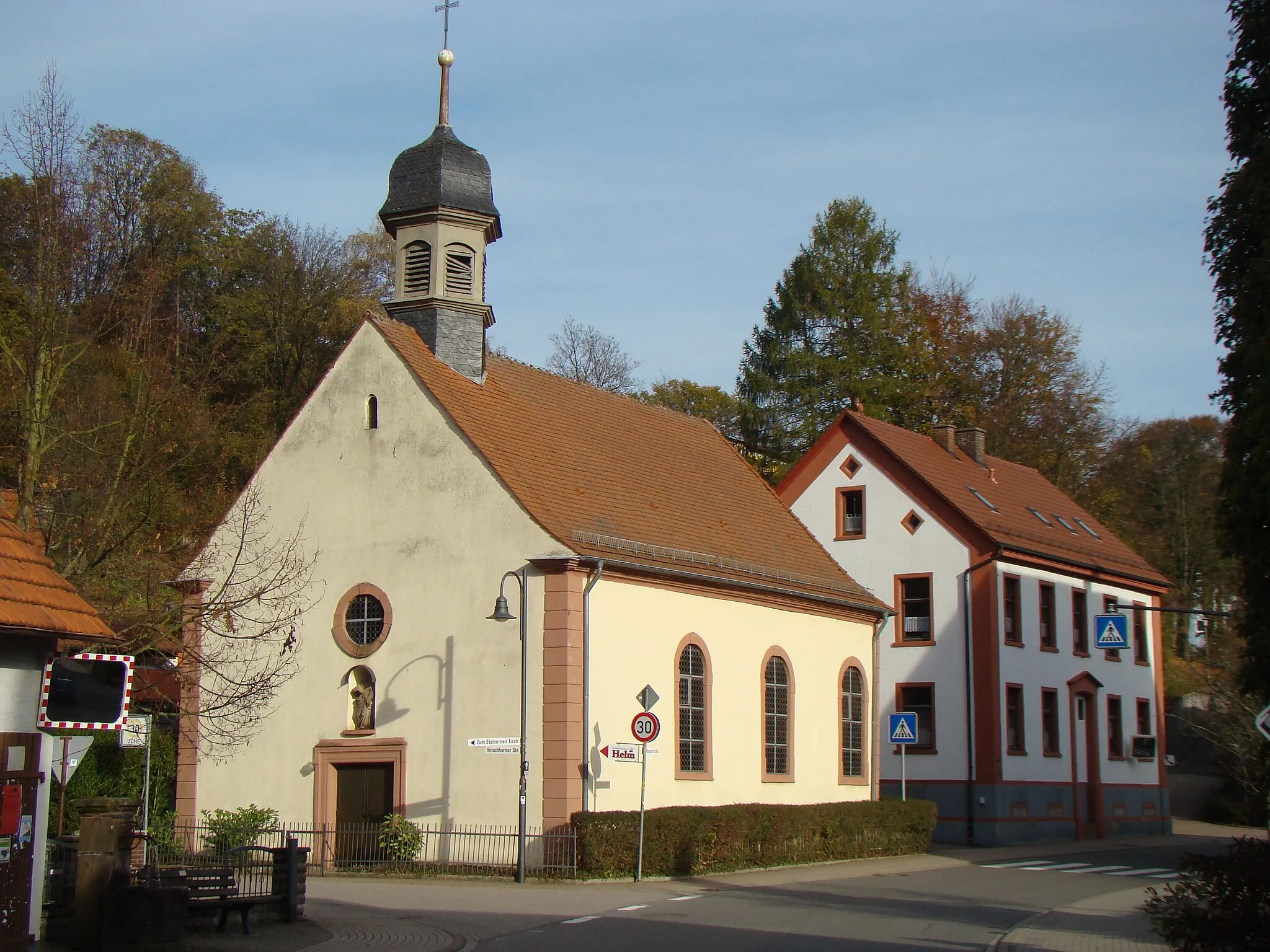
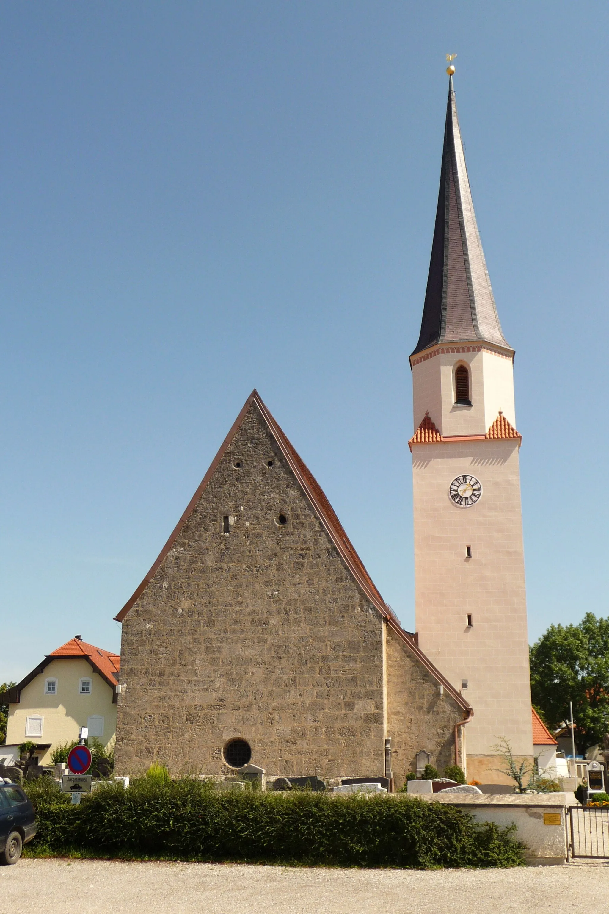
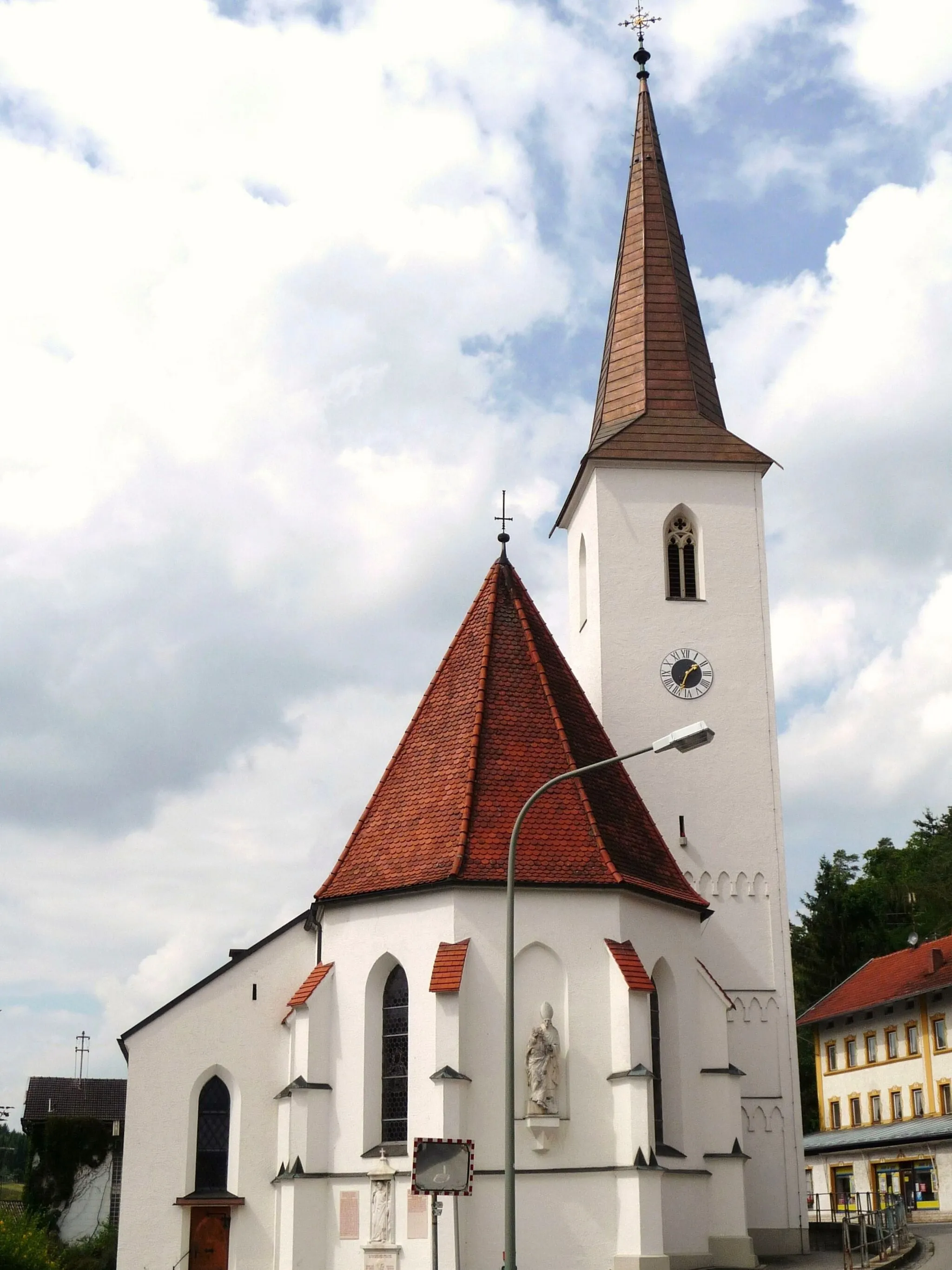
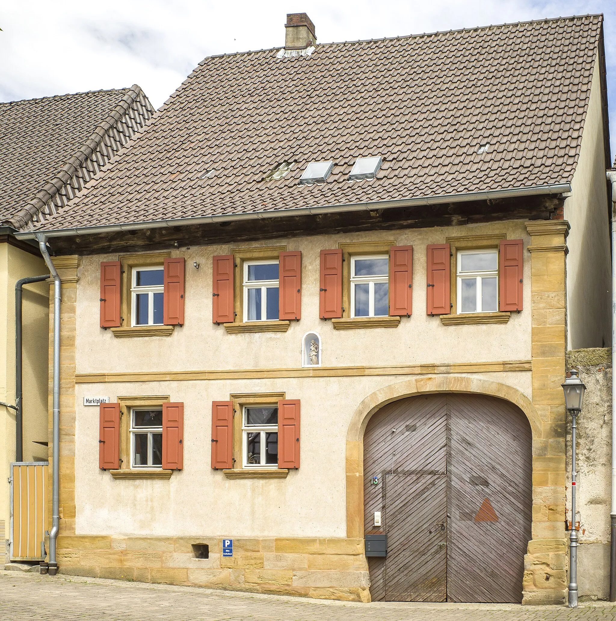
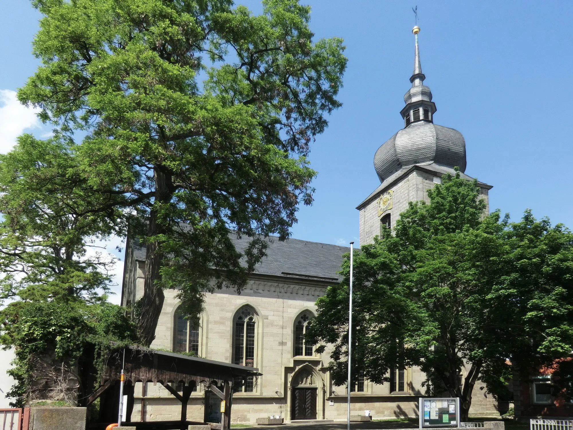
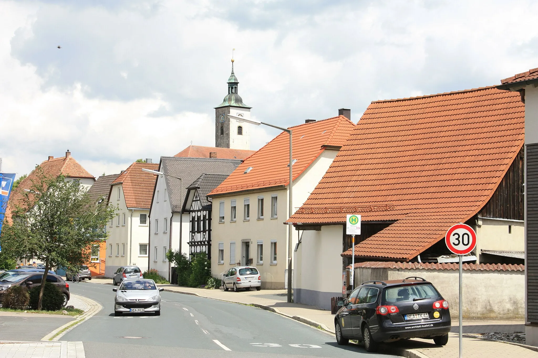
Vestenbergsgreuth is a locality located in Mittelfranken, Germany. From a cyclist's perspective, Vestenbergsgreuth offers scenic routes through the Franconian countryside. Cyclists can enjoy picturesque landscapes with rolling hills and quaint villages. The region is renowned for its well-maintained roads and bike paths, making it safe and enjoyable for riders of all levels. Notably, the nearby vineyards of Franconia offer opportunities for wine tasting, allowing cyclists to relax and indulge in local delicacies after a rewarding ride. Vestenbergsgreuth is a cycling-friendly area that caters to the diverse interests of both local and visiting cyclists.
The Uehlfeld Adventure
A thrilling gravel ride through scenic routes of Uehlfeld
This gravel ride takes you through the stunning routes of Uehlfeld in Mittelfranken. With a total distance of 57 km and 698 meters of ascent, this adventure offers a unique and exhilarating experience. The rough terrain and picturesque landscapes make it a perfect choice for gravel enthusiasts. The route is challenging but accessible for well-trained amateurs, with varied terrain and some technical sections. Highlights along the route include the charming town of Uehlfeld, the scenic Steinberg, the historic Hagenbüchach, and the vibrant Neustadt an der Aisch. Overall, this route promises excitement and beauty, making it a must-try for gravel riders seeking an unforgettable journey.
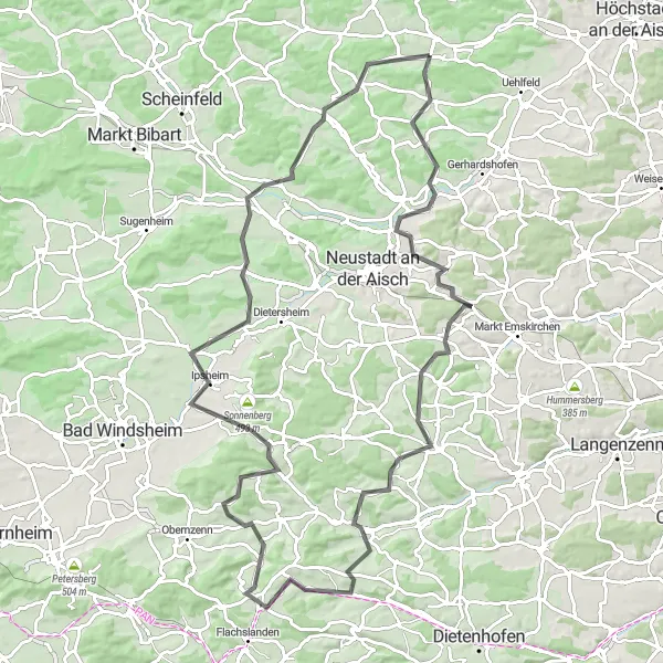
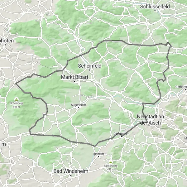
Embark on a challenging road cycling adventure filled with scenic vistas and historic landmarks
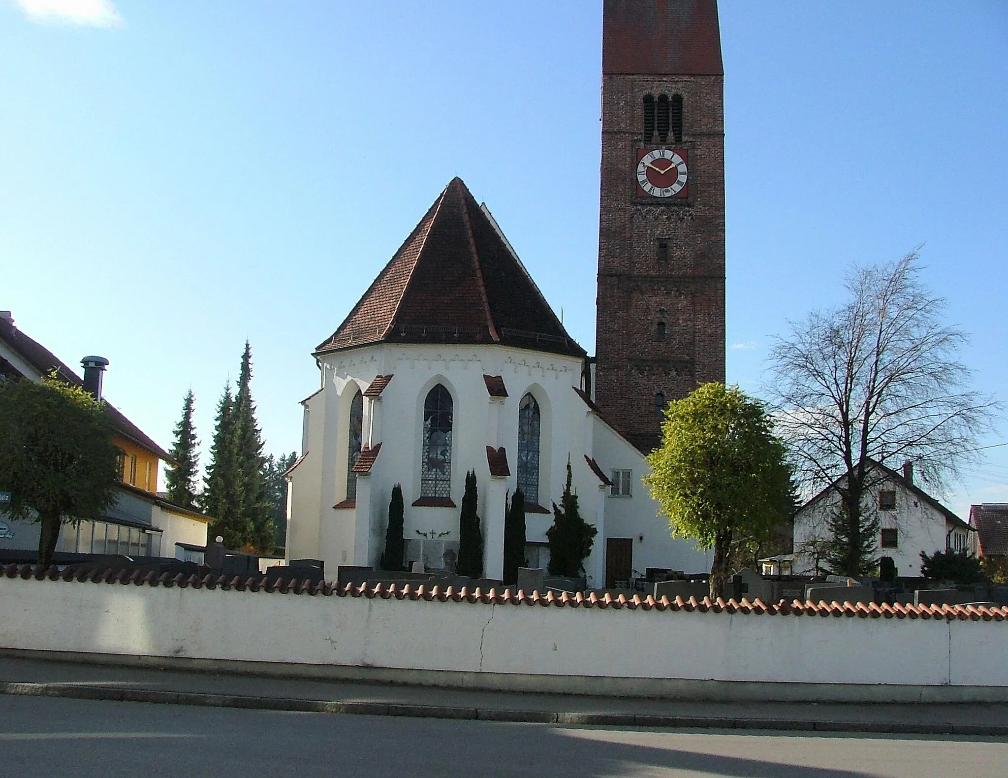
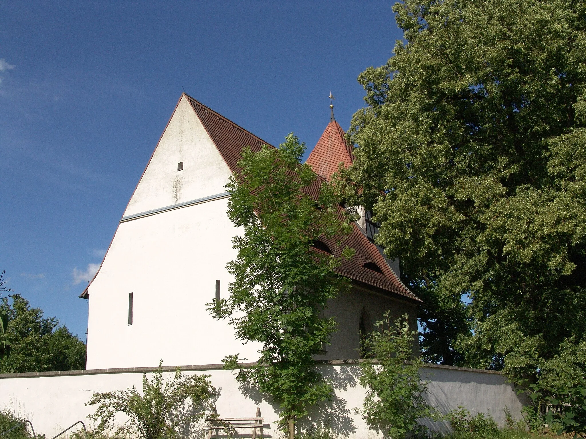
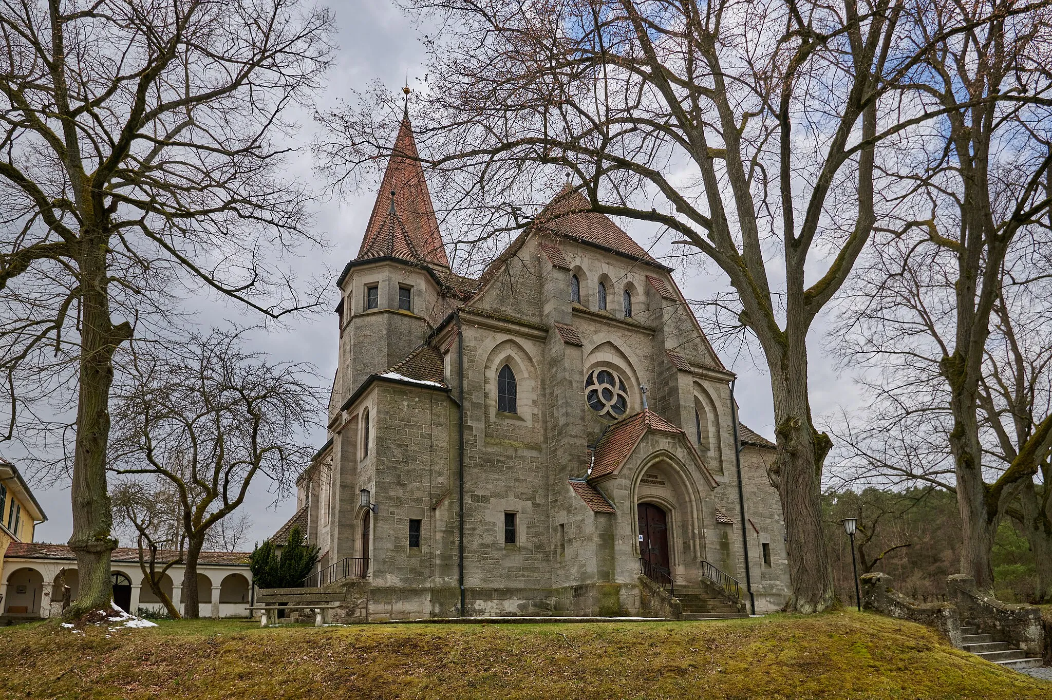
Gear up for an exhilarating 97-kilometer journey from Roßkopf to Horn. As you conquer the steep ascents and thrilling descents of this route, marvel at the beauty of Gutenstetten, Markt Erlbach, Ipsheim, and more. En route, catch panoramic views from Gutenstetten, visit the impressive Markt Erlbach church, and recharge at the charming village of Horn. With a difficulty rating of 4, this route is perfect for experienced riders seeking a challenge.
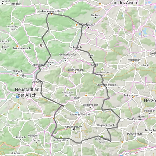
Explore the scenic road routes starting near Vestenbergsgreuth
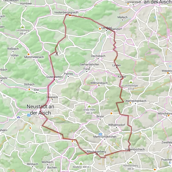
If you're searching for scenic road routes near Vestenbergsgreuth, this cycling itinerary is perfect for a memorable adventure. With a total distance of 67 km and an ascent of 703 meters, this road cycling experience offers breathtaking views and a mix of challenging terrain. The route takes you through picturesque landscapes, charming towns, and cultural highlights. Highlights along the way include Uehlfeld, Steinberg, Hagenbüchach, Neidhardswinden, Neuberg, Gutenstetten, and Schornweisach. With an overall difficulty rating of 4, this route is suitable for well-trained amateurs who enjoy road cycling with occasional challenges and varied terrain.
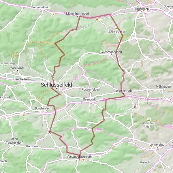
Experience the charm of gravel cycling near Vestenbergsgreuth
Embark on a captivating gravel cycling adventure near Vestenbergsgreuth, featuring beautiful landscapes and cultural highlights. With a total distance of 47 km and an ascent of 731 meters, this route offers an exciting journey through varied terrain. Highlights along the way include the tranquil Düllberg, the peaceful Schlüsselfeld, the scenic Eckberg, the picturesque Reichmannsdorf, the vibrant Wachenroth, and the enchanting Hirschberg. This route is suitable for well-trained amateurs seeking an enjoyable gravel riding experience that combines moderate challenges with captivating scenery.
Roam through picturesque landscapes on this scenic road cycling loop
Embark on this 37-kilometer road cycling loop that takes you through some of Mittelfranken's most charming villages and scenic landscapes. Start in Gutenstetten and ride through Roßkopf, Gutenstetten, Mittelsteinach, Lerchenberg, and finally return to Vestenbergsgreuth. With moderate ascents and descents, the route offers a delightful cycling experience suitable for riders of varying skill levels. Admire the panoramic views from Roßkopf, soak in the idyllic atmosphere of Gutenstetten, and enjoy the scenic countryside along the way.
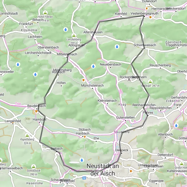
Embark on an adventurous gravel cycling journey through the natural landscapes of Mittelfranken
Experience the rugged beauty of Mittelfranken's countryside with this 55-kilometer gravel cycling adventure. This route, suitable for gravel and all-road bikes, will take you through Gutenstetten, Marberg, Dietersheim, Roter Berg, Langenfeld, Mittelsteinach, Lerchenberg, and finally return to Vestenbergsgreuth. With gravel tracks and scenic trails, this route provides a thrilling off-road experience. Marvel at the panoramic views from Gutenstetten, explore the peaceful Marberg, and conquer challenging terrain as you ride through Roter Berg.
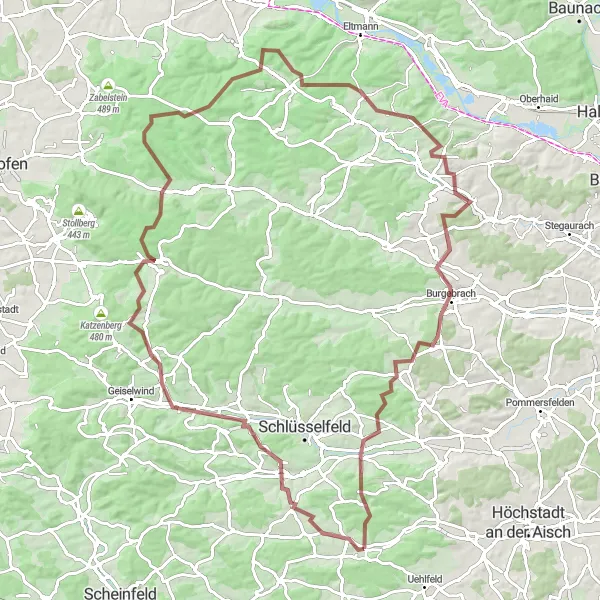
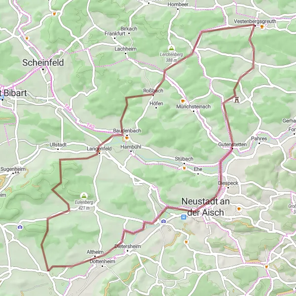
Embark on an epic gravel ride through scenic landscapes and historic landmarks
Prepare for the ultimate gravel adventure through the stunning landscapes of Mittelfranken. This route offers a 99 km long journey with a challenging ascent of 1485 meters, making it ideal for experienced gravel riders seeking an exhilarating challenge. The diverse terrain includes rough sections, hilly landscapes, and beautiful riverside trails. Highlights along the way include the scenic Düllberg, the historic Breitenlohe, the impressive Kloster Ebrach, the majestic Beerberg, the breathtaking Loundon, the tranquil Kolmsdorf, the charming Burgebrach, and the picturesque Reichmannsdorf. With an intensity rating of 5, this route guarantees an unforgettable experience that will test your skills and leave you in awe of the region's natural and cultural wonders.
Discovering Münchsteinach

Embark on an exciting gravel adventure in Münchsteinach
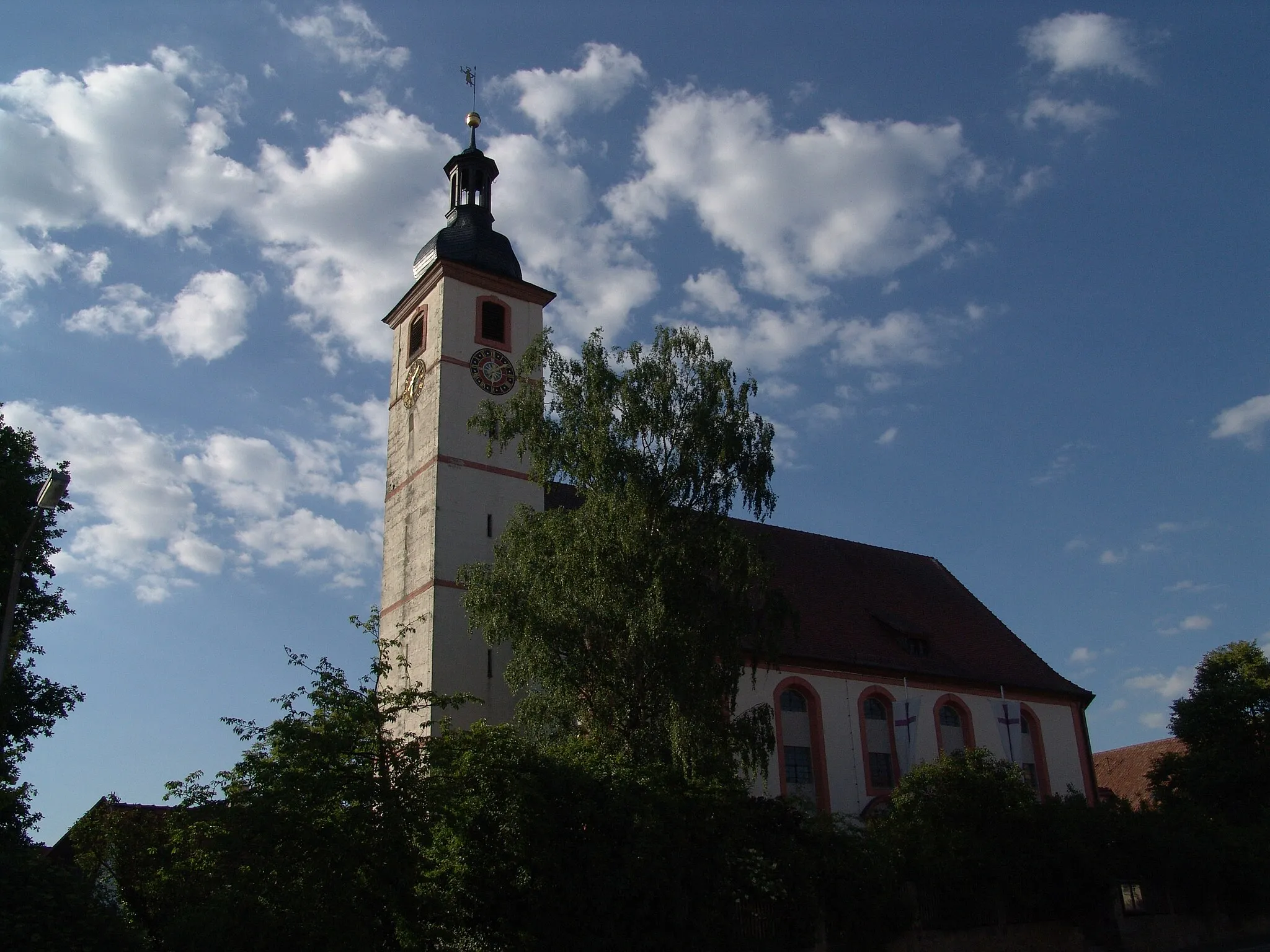
For gravel enthusiasts seeking a thrilling outdoor adventure, this route in Münchsteinach is not to be missed. With a distance of 52 km and a challenging ascent of 668 meters, this ride offers a mix of rugged terrain, scenic landscapes, and cultural highlights. The off-road sections provide an exhilarating experience, while the charming town of Münchsteinach awaits with its distinctive architecture and welcoming atmosphere. Other highlights include the picturesque Langenfeld, the panoramic views from Grubsberg, the serene Leerberg, and the picturesque town of Scheinfeld. With an overall difficulty rating of 3, this route is suitable for well-trained amateur cyclists looking for a memorable gravel adventure.
Discover the rolling hills and charming villages along this scenic road cycling route
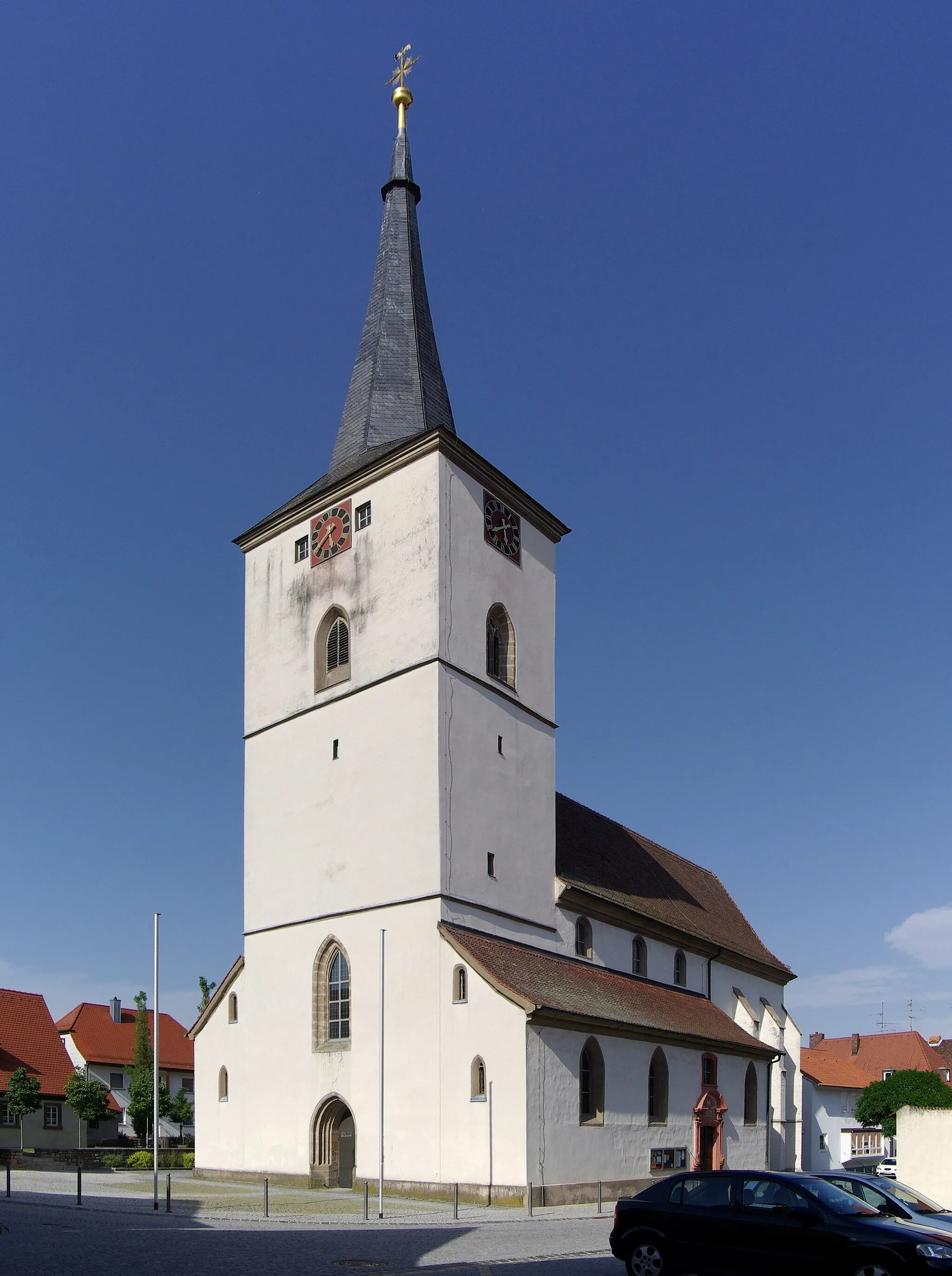
Embark on a memorable journey through the picturesque landscapes of Mittelfranken, as you ride through Gutenstetten, Neustadt an der Aisch, Rosenberg, and more. This 89-kilometer loop offers a balanced mix of challenging ascents and rewarding descents, making it suitable for riders of moderate skill levels. Marvel at the panoramic views atop the Iffigheimer Berg and Nenzenheim, then descend into the Seitenbucher Ranken vineyards before concluding the ride in Markt Taschendorf.
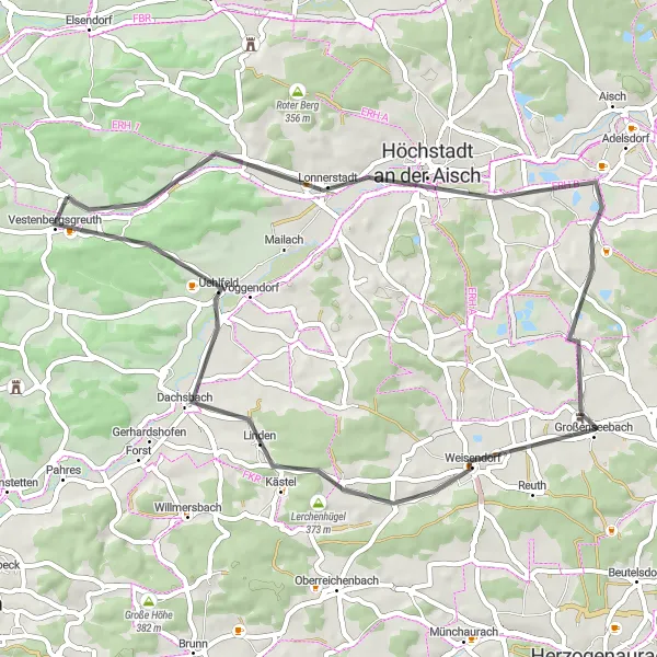
Embark on a scenic cycling journey to explore the idyllic hillside villages of the region
Immerse yourself in the picturesque landscapes and charming hillside villages of Mittelfranken with this 51-kilometer road cycling route. Begin in Vestenbergsgreuth and ride through Rinsachhöhe, Höchstadt an der Aisch, Großenseebach, Dachsbach, and finally return to Vestenbergsgreuth. Moderate ascents and descents make this route suitable for riders of various skill levels. Take in the panoramic views from Rinsachhöhe, explore the historic town center of Höchstadt an der Aisch, and savor the tranquility of the surrounding countryside.
Cycling routes nearby:


Nearby regions: