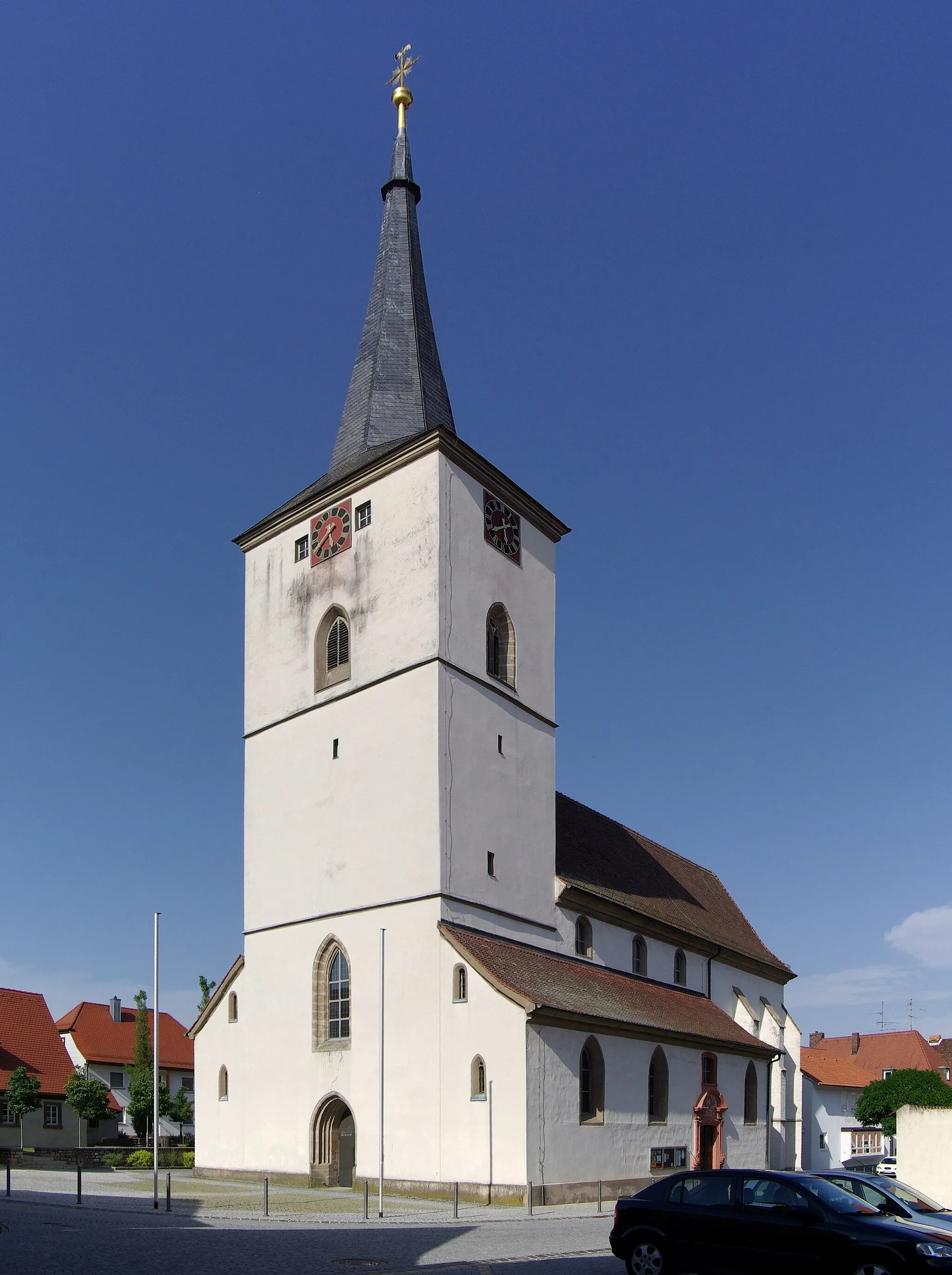
Exploring the picturesque Bavarian countryside from Schlüsselfeld.
Cycling routes from Schlusselfeld
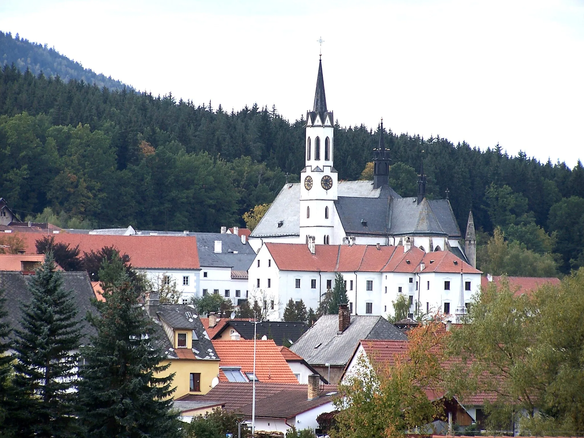
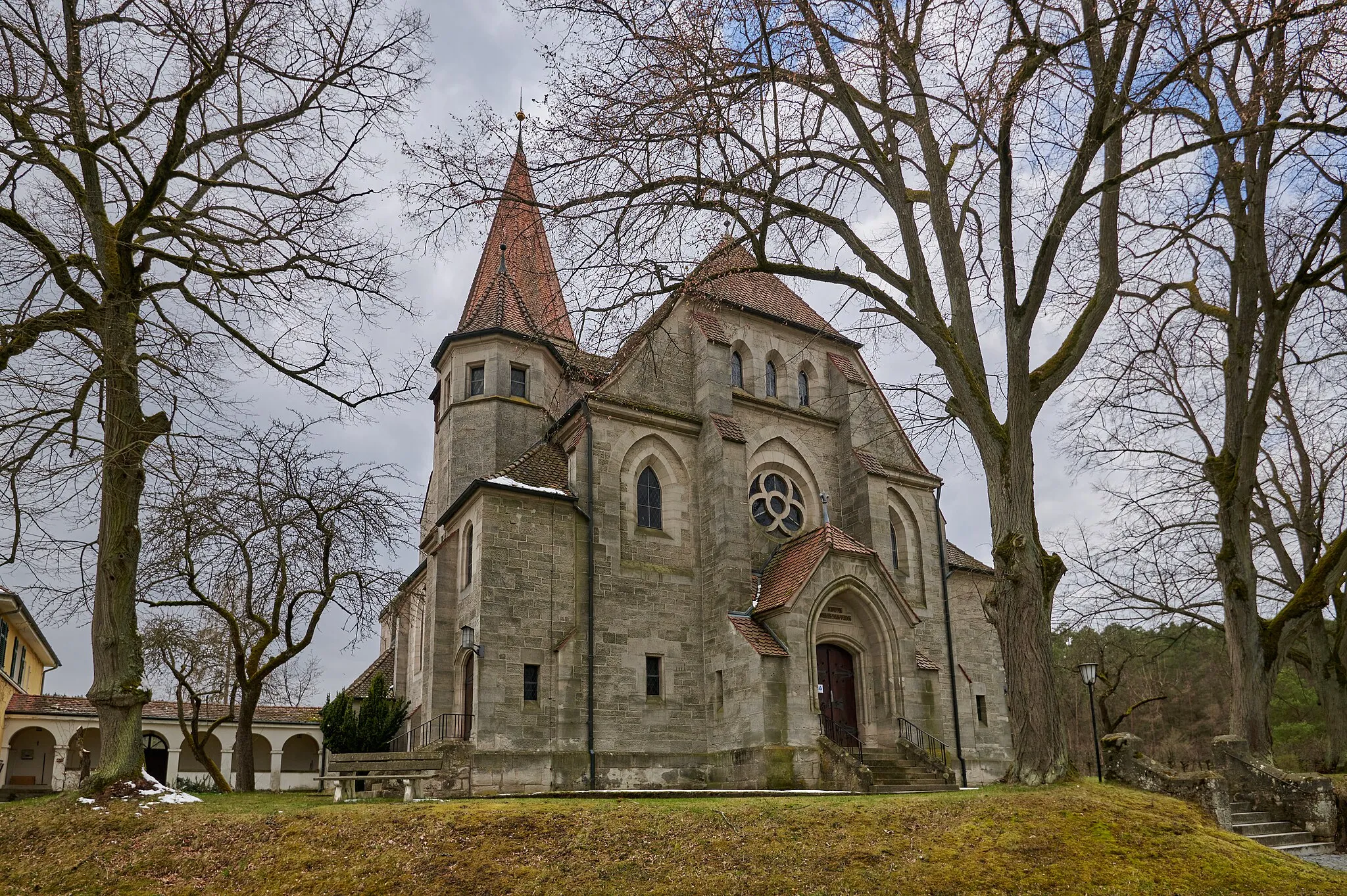
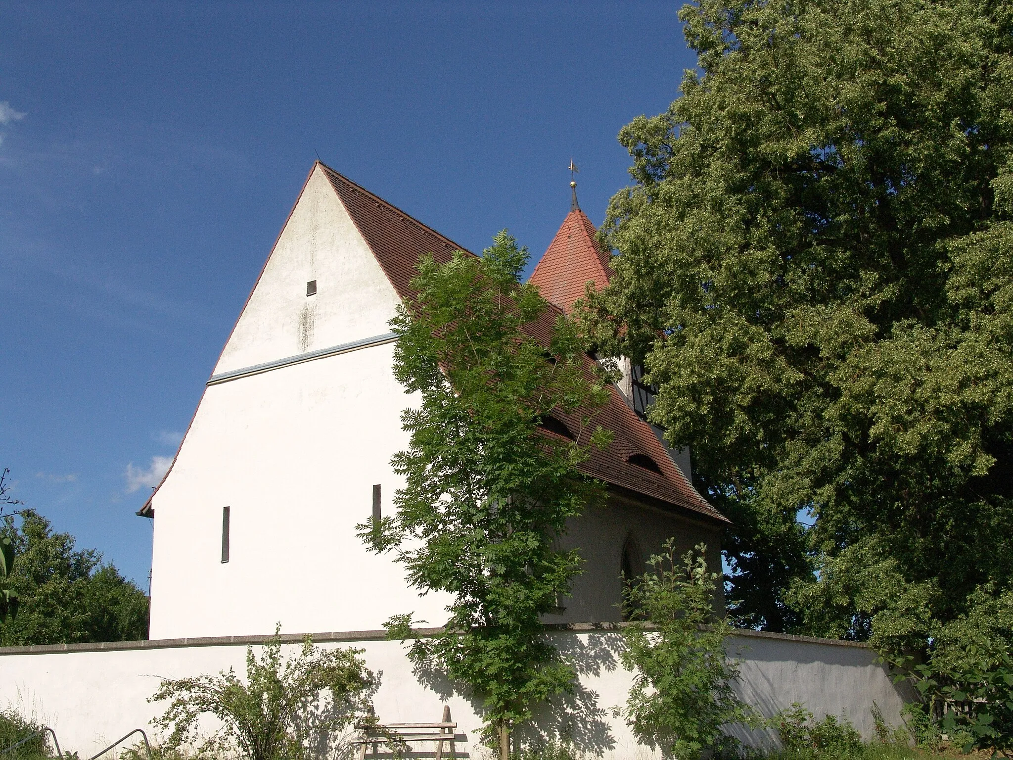
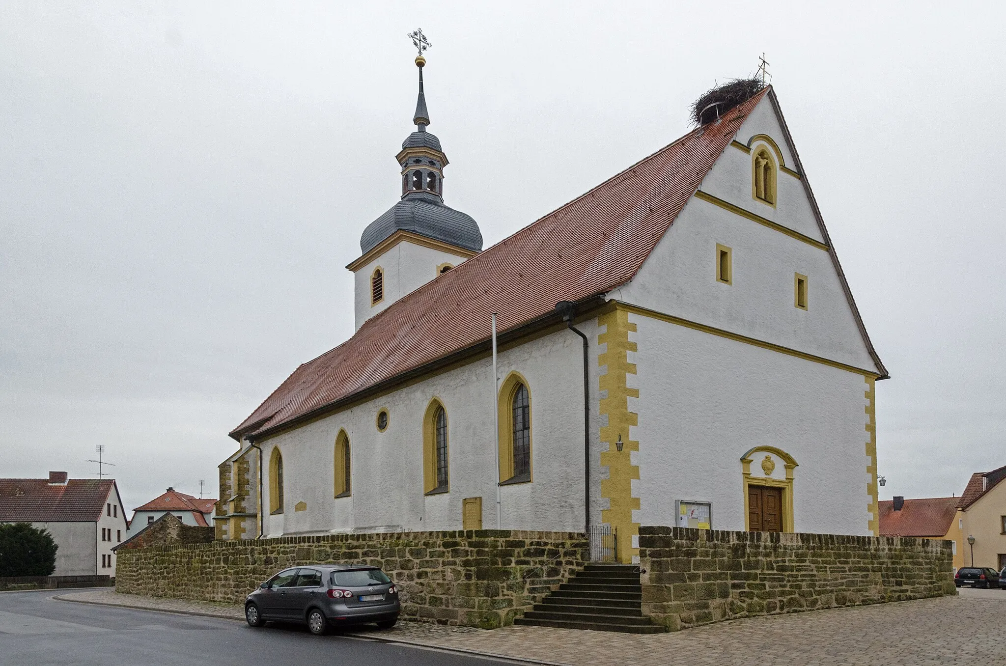
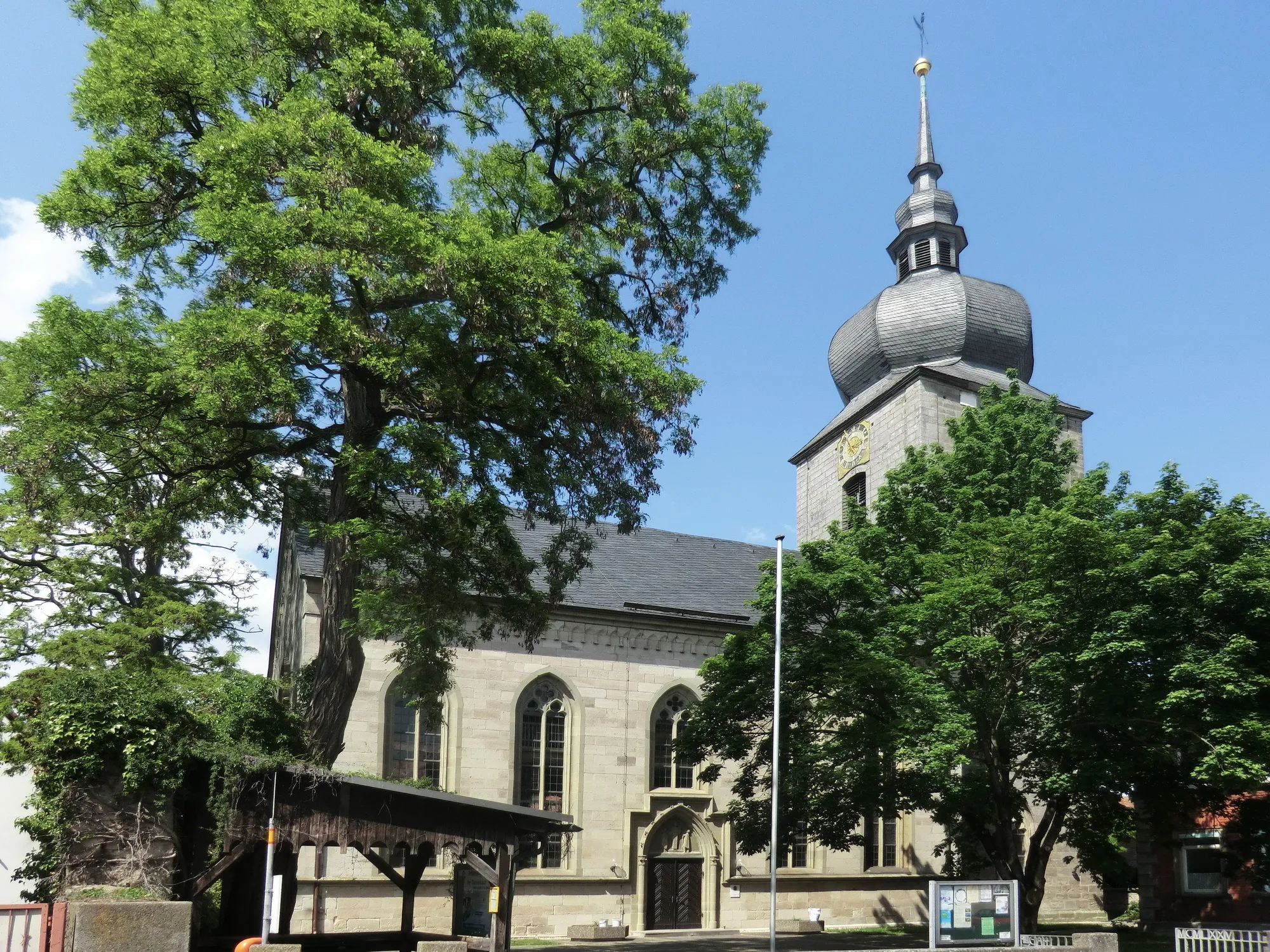
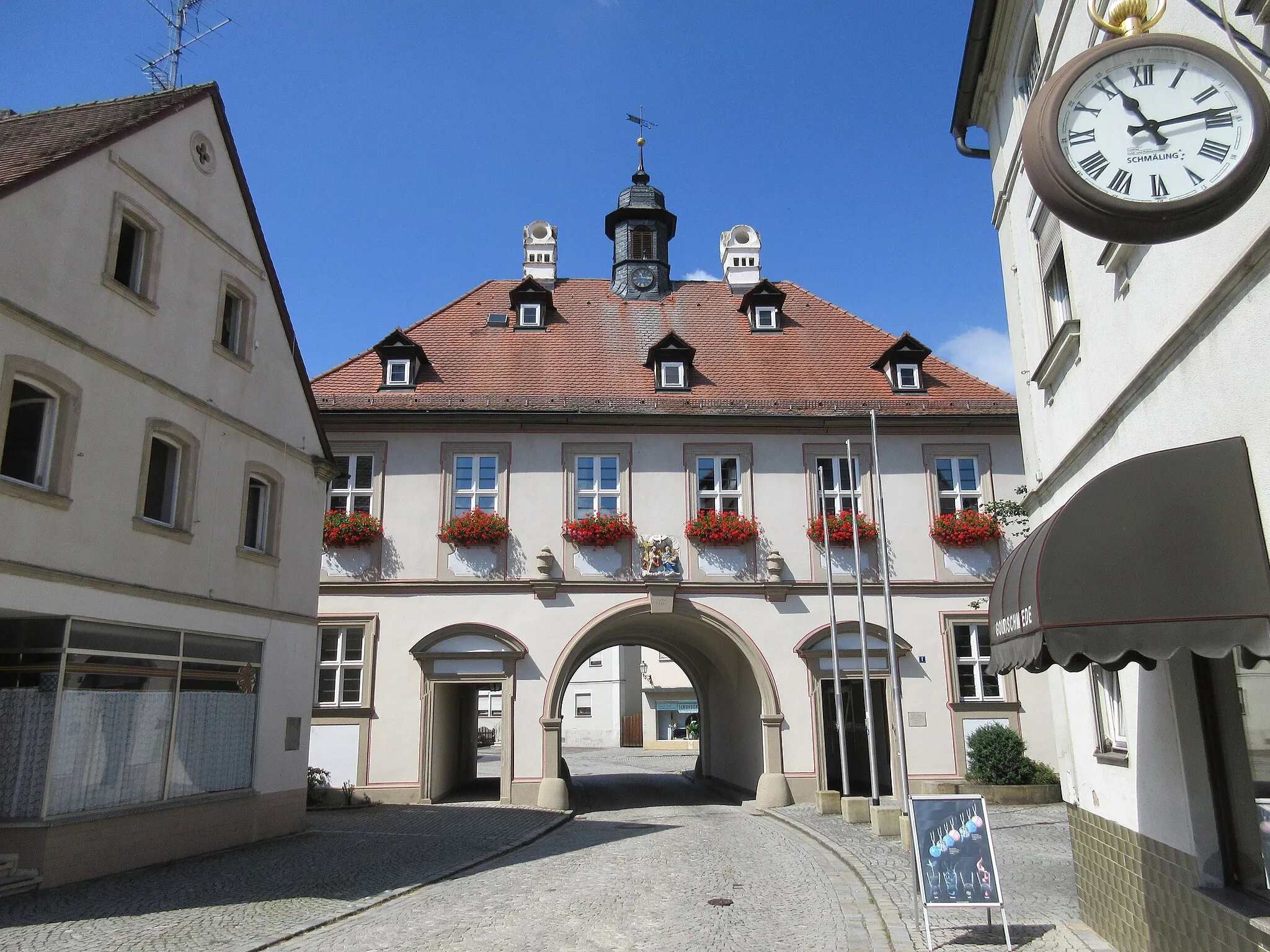
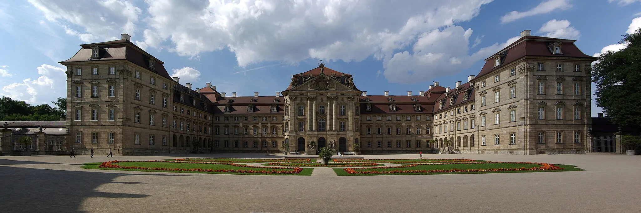
Schlüsselfeld is a small town located in the Oberfranken region of Germany. From a cyclist's perspective, it offers a mix of flat and hilly routes through the picturesque Bavarian countryside. The roads are well-maintained and quite suitable for cycling. Schlüsselfeld is also conveniently situated near the Steigerwald Nature Park, which offers beautiful trails for mountain biking enthusiasts. Overall, Schlüsselfeld is a good choice for road and gravel cyclists looking to explore the scenic beauty of Oberfranken.
Gravel adventure through charming villages
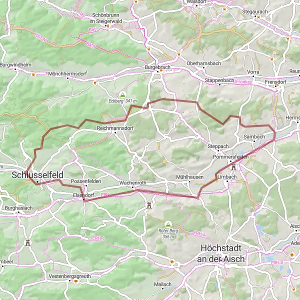
Embark on a satisfying gravel adventure through the idyllic village of Reichmannsdorf and its surrounding countryside. This route offers a mix of gravel roads, scenic landscapes, and cultural highlights. As you pedal through charming villages and explore the beauty of Oberfranken, you'll find yourself immersed in the rich history and atmosphere of the region.
Cycle through picturesque landscapes and visit charming villages
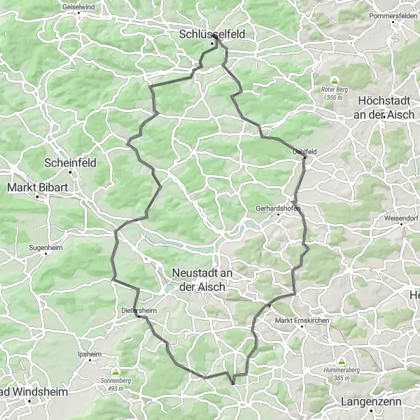
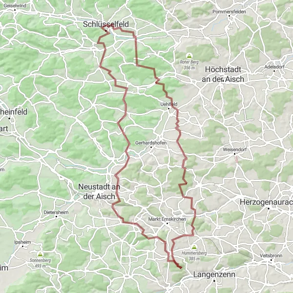
Discover the scenic beauty of the Oberfranken region with this 85-kilometer road cycling route. Meander through the German countryside, passing through Uehlfeld, Storchennest, and Marberg. With a total ascent of 1,022 meters, this route offers a moderate challenge for road cycling enthusiasts seeking to explore the picturesque landscapes and encounter charming villages along the way.
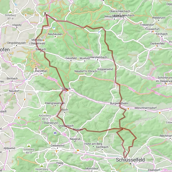
Embark on a picturesque gravel adventure through Oberfraken, Germany
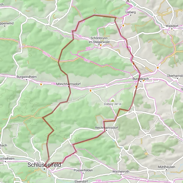
Explore the beautiful region of Oberfranken in Germany as you cycle through diverse landscapes and charming villages. This 51-kilometer route, starting near Schlüsselfeld, offers a mix of gravel paths and quiet roads, providing an exciting and unique experience for gravel enthusiasts.

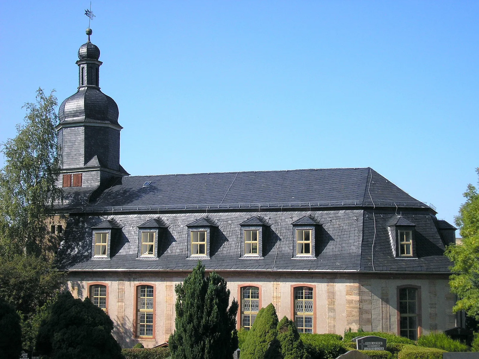
Conquer challenging terrains and experience the beauty of Oberfranken
Embark on an epic 122-kilometer road cycling journey through the enchanting landscapes of Oberfranken. Along this route, you will encounter picturesque towns and famous cycling spots, such as Burgebrach, Kreuzberg, and Effeltrich. With a total ascent of 1,057 meters, this route presents a challenging adventure for experienced cyclists seeking a legendary ride in Germany's cycling paradise.
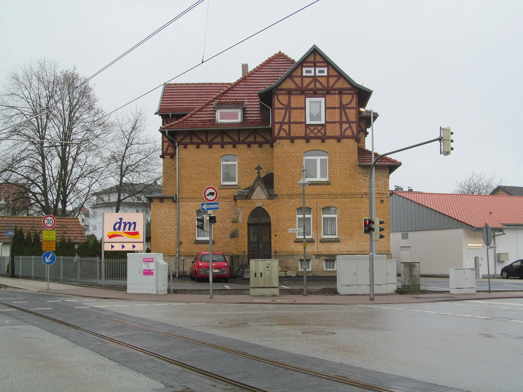
Schlüsselfeld Adventure
Gravel through forests and small villages
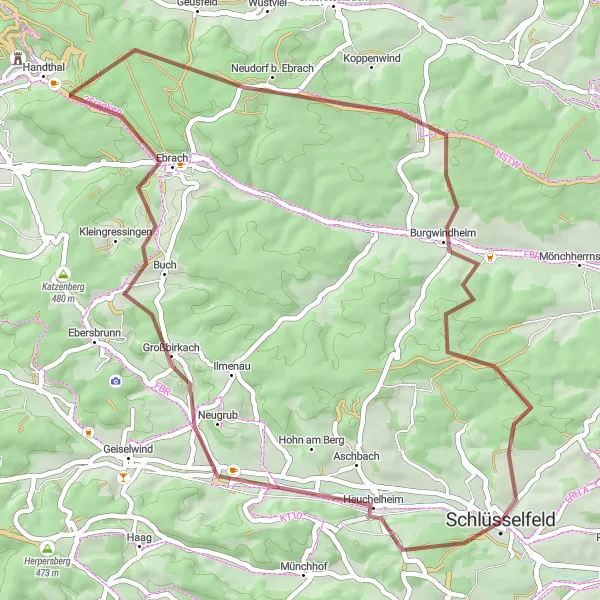
This scenic round-trip gravel route starting from Schlüsselfeld takes you through forests, picturesque villages, and rolling countryside. Enjoy the quiet roads, beautiful landscapes, and a few challenging climbs along the way. Whether you're a gravel enthusiast or simply seeking a unique cycling experience, this route offers a delightful adventure.
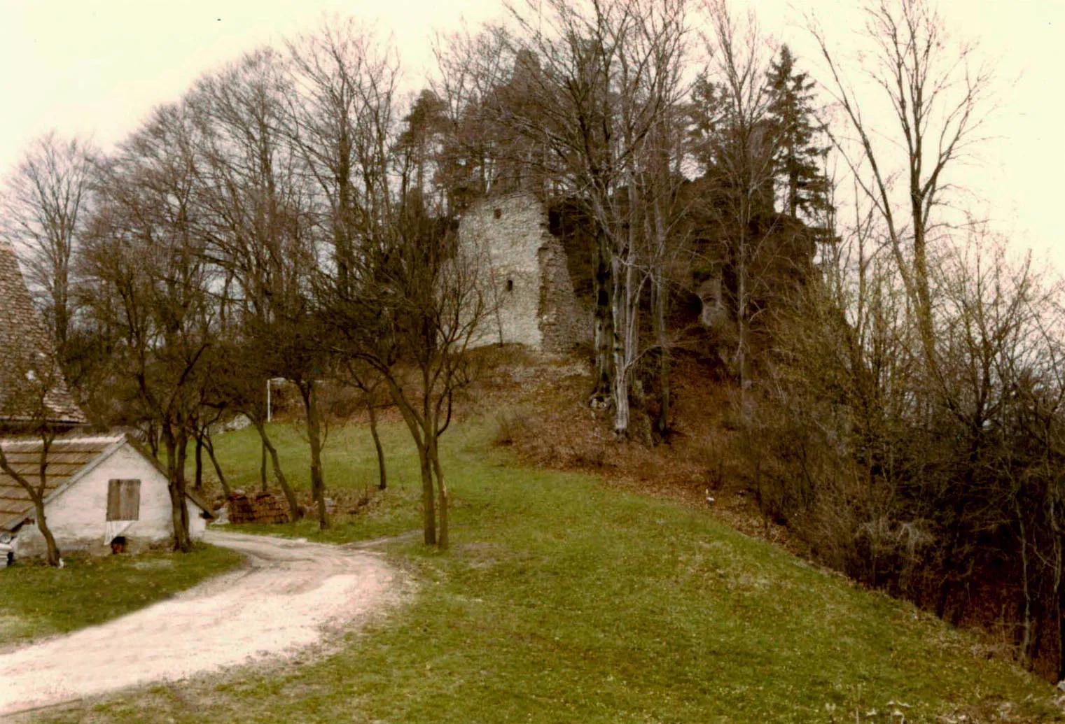
Steigerwald Panorama
Road cycling through picturesque landscapes
This road cycling route takes you through the breathtaking landscapes of Oberfranken, offering scenic views and charming villages along the way. With moderate climbs and smooth roads, the Steigerwald Panorama route is perfect for intermediate riders seeking a picturesque journey. Enjoy the beauty of the Franconian countryside and revel in the peaceful surroundings.
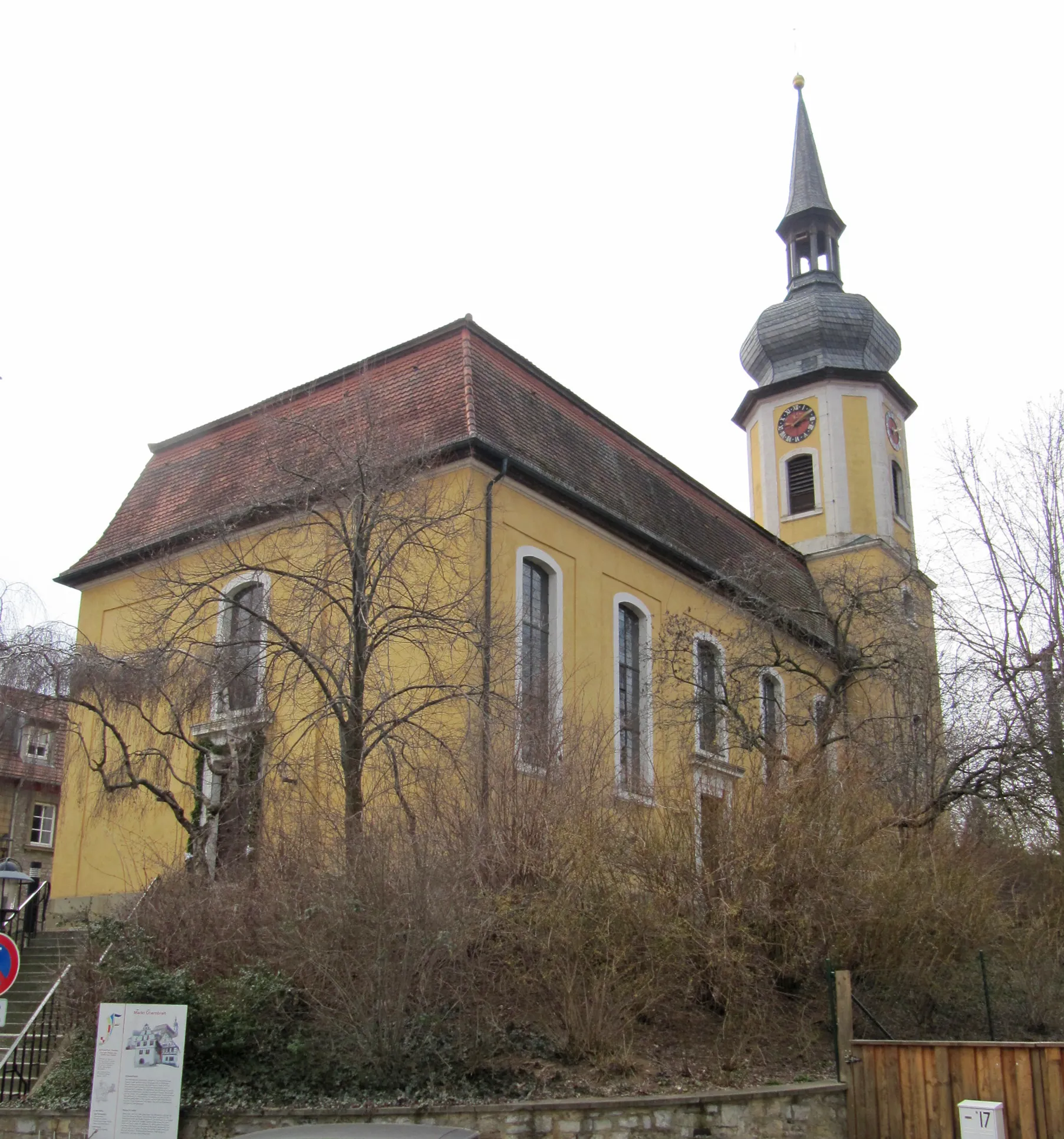
Zettmannsdorf Loop

Picturesque gravel route with historic highlights
Embark on this scenic gravel route starting from Schlüsselfeld and explore the charming villages, historical landmarks, and rolling countryside. This route offers a delightful mix of nature and culture, showcasing the beauty of the region. With moderate climbs and stunning vistas, the Zettmannsdorf Loop creates a memorable cycling experience for both leisure riders and gravel enthusiasts.
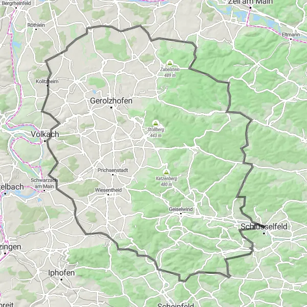
Take on a demanding route showcasing the beauty of Franconian countryside
Embark on a challenging road cycling adventure spanning 125 kilometers through the scenic Oberfranken region. This route takes you through historical towns and picturesque landscapes, including Markt Taschendorf, Oberscheinfeld, and Volkach. With a total ascent of 1,322 meters, this route is suitable for experienced cyclists looking for a demanding and rewarding ride.
Explore the charming villages of Uehlfeld, Hagenbüchach, and Rammach
Embark on a thrilling gravel adventure through the scenic Oberfranken region of Germany. This 88-kilometer route features varied terrains and picturesque landscapes, taking you through charming villages such as Uehlfeld, Hagenbüchach, and Rammach. With a total ascent of 1,223 meters, this challenging route is suitable for experienced cyclists looking for an off-road adventure.
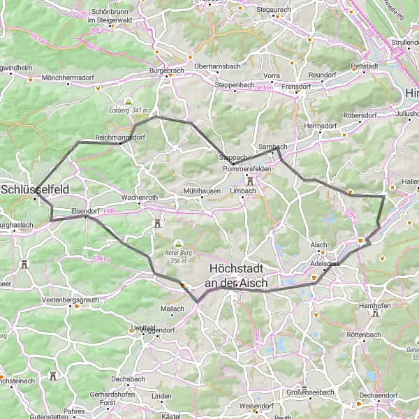
Discover scenic beauty of Burgebrach
Explore the scenic beauty surrounding Burgebrach with this enjoyable gravel route. As you cycle through rolling fields, vineyards, and charming villages, you'll be captivated by the picturesque landscapes that Oberfranken has to offer. The relatively shorter distance makes it ideal for a leisurely day excursion or a quick adventure.
Cycling routes nearby:


Nearby regions: