Challenging Road Cycling Adventure near Schlüsselfeld
A road cycling route starting from Schlusselfeld
Take on a demanding route showcasing the beauty of Franconian countryside
Map
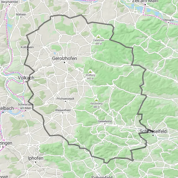
Embark on a challenging road cycling adventure spanning 125 kilometers through the scenic Oberfranken region. This route takes you through historical towns and picturesque landscapes, including Markt Taschendorf, Oberscheinfeld, and Volkach. With a total ascent of 1,322 meters, this route is suitable for experienced cyclists looking for a demanding and rewarding ride.
road
125 km
1322 m
Tough
Route profile
Highlights on the route
0 km
0 km
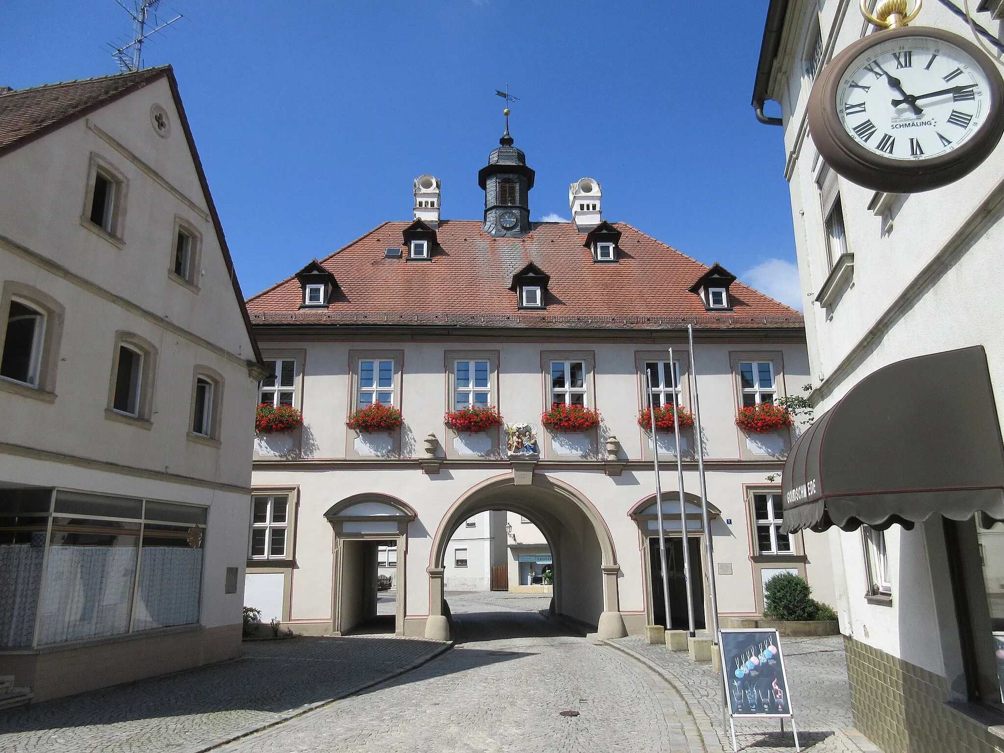
Start: Schlüsselfeld City centerSchlüsselfeld: Exploring the picturesque Bavarian countryside from Schlüsselfeld.
Schlüsselfeld is a small town located in the Oberfranken region of Germany. From a cyclist's perspective, it offers a mix of flat and hilly routes through the picturesque Bavarian countryside. The roads are well-maintained and quite suitable for cycling. Schlüsselfeld is also conveniently situated near the Steigerwald Nature Park, which offers beautiful trails for mountain biking enthusiasts. Overall, Schlüsselfeld is a good choice for road and gravel cyclists looking to explore the scenic beauty of Oberfranken.14 km
14 km
Markt TaschendorfVillageDiscover the captivating charm of Markt Taschendorf, characterized by its half-timbered houses and traditional Franconian atmosphere.
25 km
25 km
OberscheinfeldVillageCycle through Oberscheinfeld and revel in the stunning beauty of the surrounding vineyards and rolling hills.
36 km
36 km
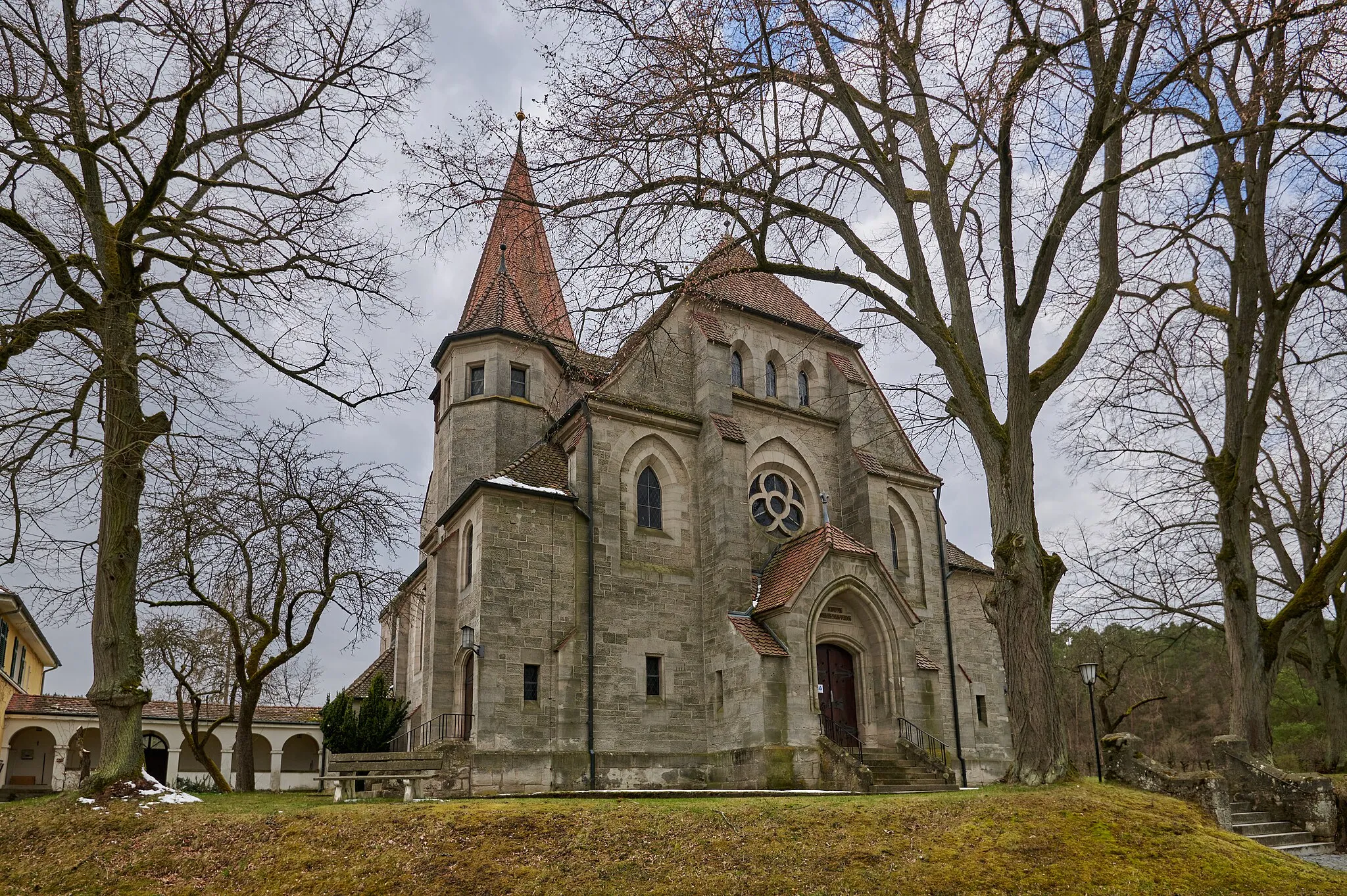
Schiller290 mPeakExplore Schiller, a historic town renowned for its well-preserved medieval architecture and vibrant cultural scene.
53 km
53 km
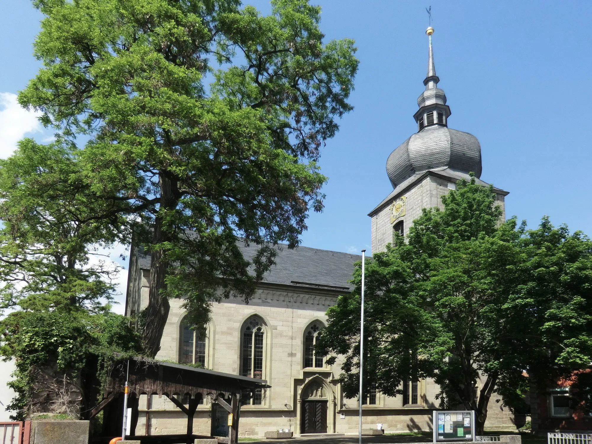
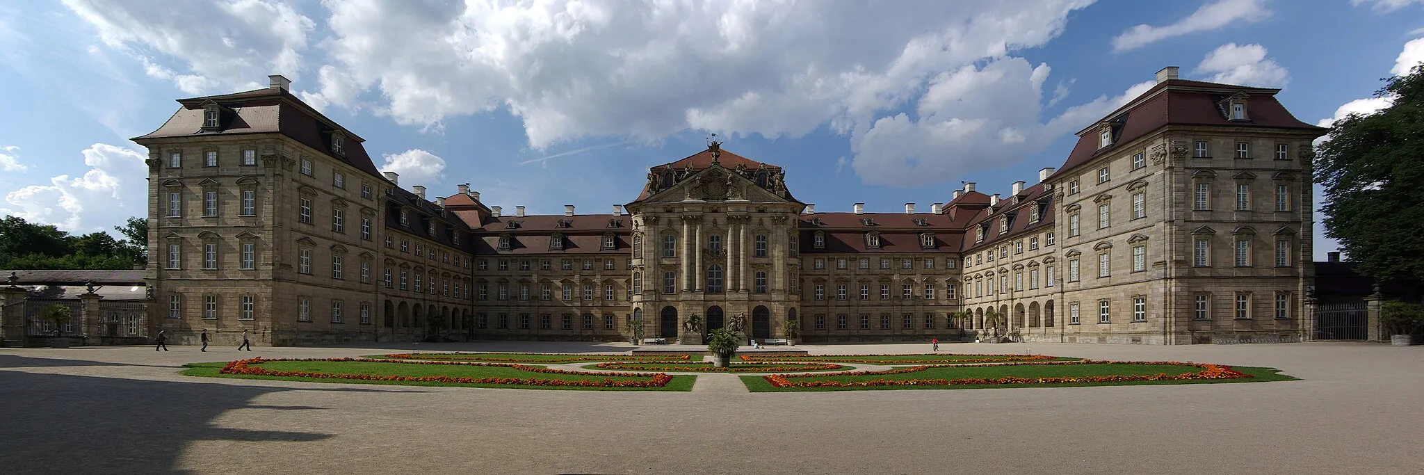
VolkachTownVisit the charming town of Volkach, located on the banks of the Main River and famous for its wine production and idyllic riverfront promenade.
73 km
73 km
GrettstadtVillageMake a stop at Grettstadt, a scenic village known for its natural beauty and peaceful atmosphere.
83 km
83 km
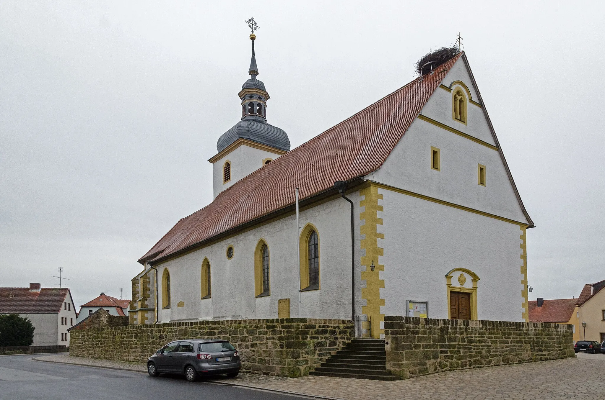
DonnersdorfVillageImmerse yourself in the rich history of Donnersdorf, explore its centuries-old buildings, and take in the grandeur of its medieval castle.
92 km
92 km
Bocksberg459 mPeakExperience the picturesque landscapes surrounding Bocksberg, offering panoramic views and picture-perfect cycling routes.
113 km
113 km
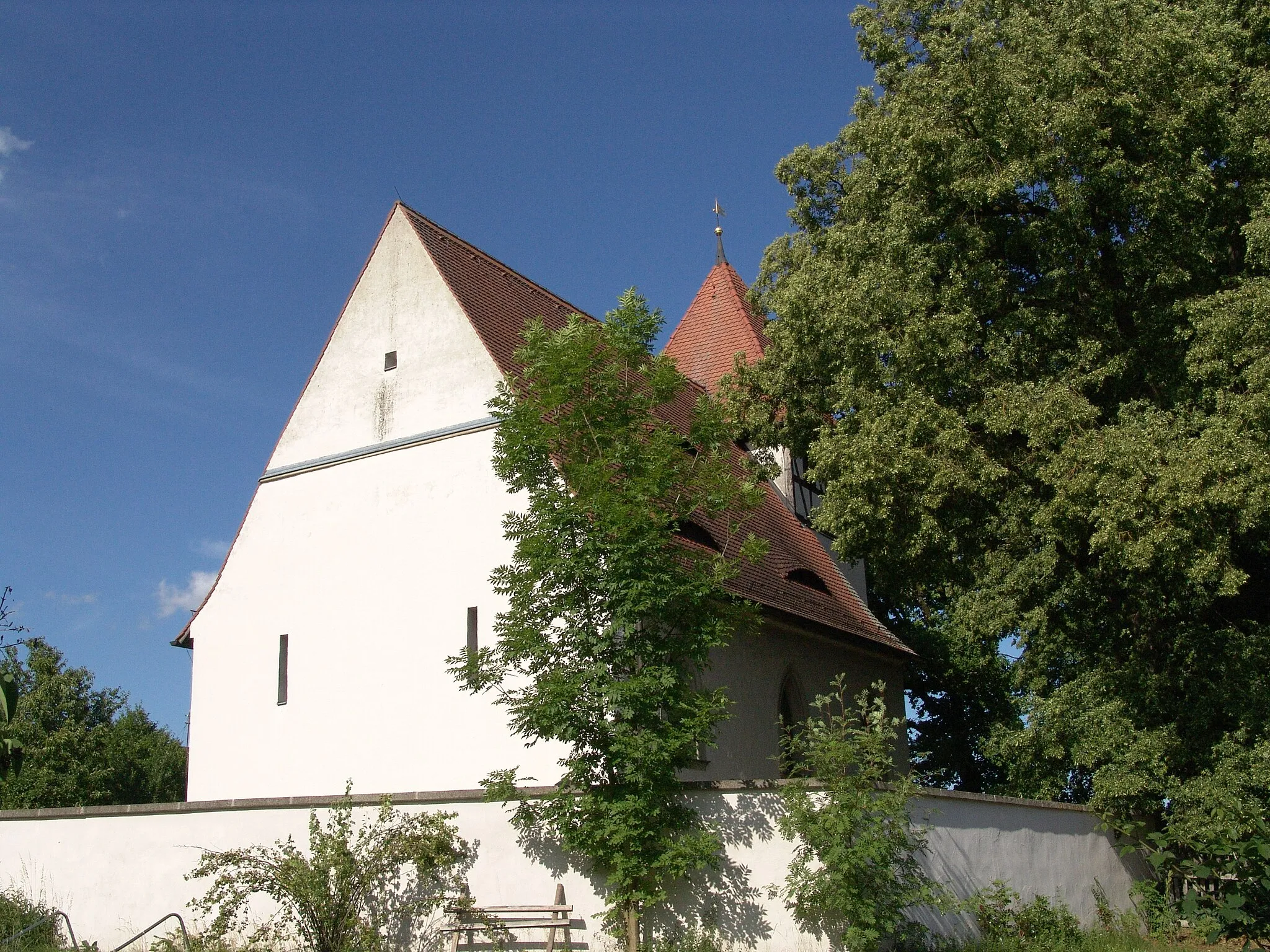
BurgwindheimVillageFeel the tranquility of Burgwindheim, a charming village boasting authentic Franconian architecture and breathtaking views.
121 km
121 km
ZiegelsambachVillageEnd your journey with a visit to Ziegelsambach, known for its historical significance and architectural gems, including a beautiful castle.
125 km
125 km
Finish: Schlüsselfeld City centerSchlüsselfeld: Exploring the picturesque Bavarian countryside from Schlüsselfeld.
Cycling routes from Schlusselfeld:
Schlüsselfeld Adventure Zettmannsdorf Loop Reichmannsdorf Escape Burgebrach Explorer Scenic Road Cycling Route near Schlüsselfeld Road Cycling Tour in Schlüsselfeld and Beyond Challenging Road Cycling Adventure near Schlüsselfeld Steigerwald Panorama Gravel Adventure through Franconian Countryside Epic Road Cycling Journey in Oberfranken Gravel Adventure Through Oberfranken
Cycling routes nearby: