Gravel Adventure through Franconian Countryside
A gravel cycling route starting from Schlusselfeld
Explore the charming villages of Uehlfeld, Hagenbüchach, and Rammach
Map
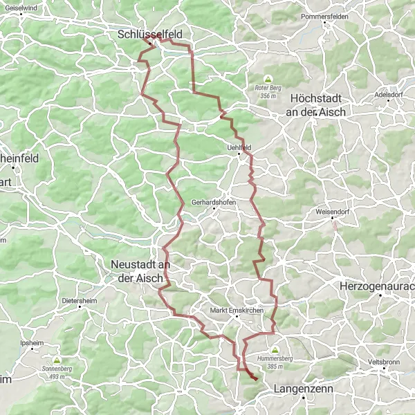
Embark on a thrilling gravel adventure through the scenic Oberfranken region of Germany. This 88-kilometer route features varied terrains and picturesque landscapes, taking you through charming villages such as Uehlfeld, Hagenbüchach, and Rammach. With a total ascent of 1,223 meters, this challenging route is suitable for experienced cyclists looking for an off-road adventure.
gravel
88 km
1223 m
Tough
Route profile
Highlights on the route
0 km
0 km
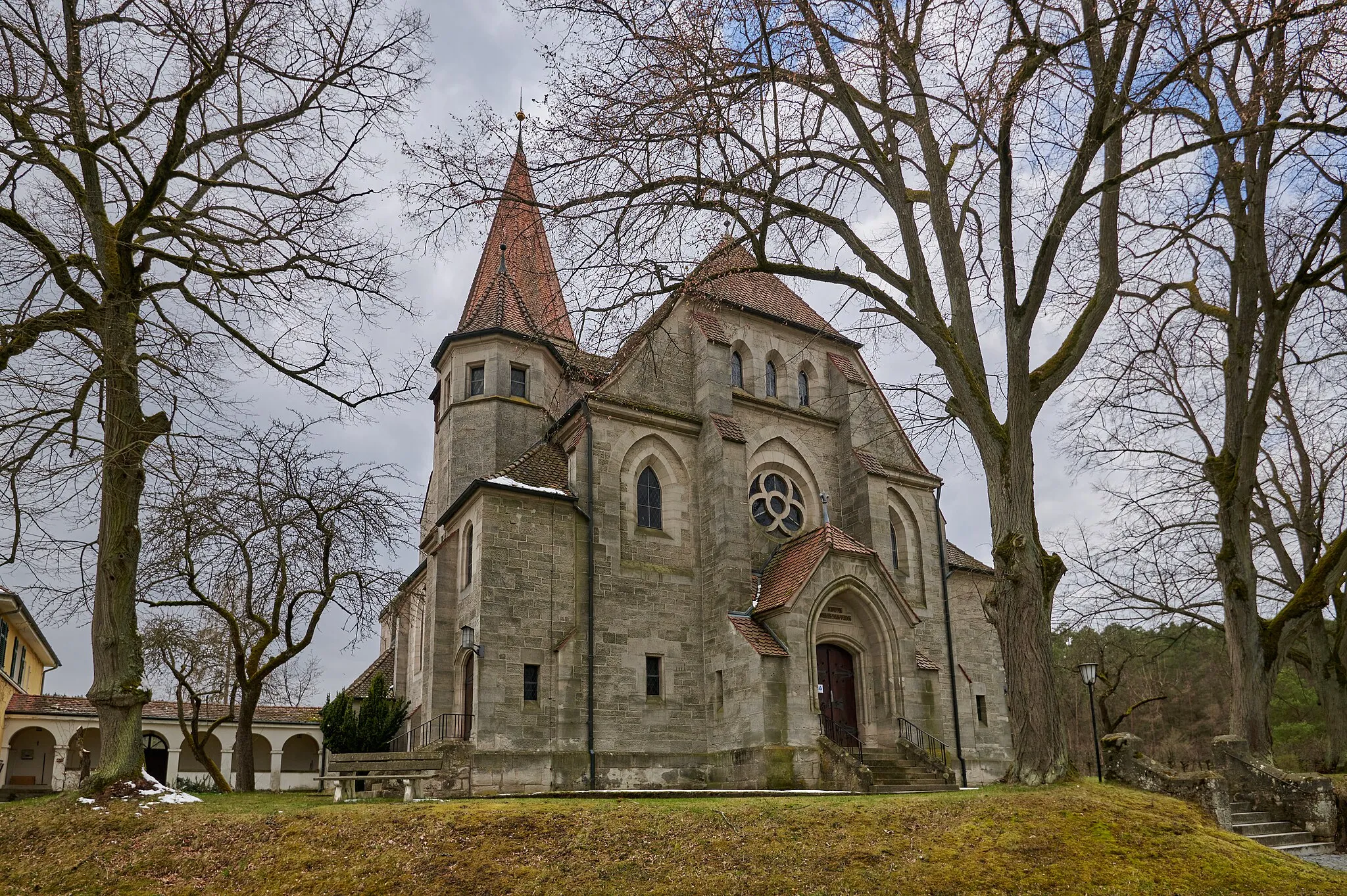
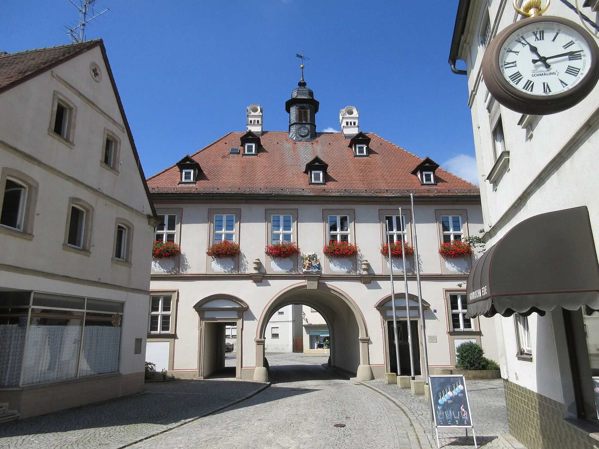
Start: Schlüsselfeld City centerSchlüsselfeld: Exploring the picturesque Bavarian countryside from Schlüsselfeld.
Schlüsselfeld is a small town located in the Oberfranken region of Germany. From a cyclist's perspective, it offers a mix of flat and hilly routes through the picturesque Bavarian countryside. The roads are well-maintained and quite suitable for cycling. Schlüsselfeld is also conveniently situated near the Steigerwald Nature Park, which offers beautiful trails for mountain biking enthusiasts. Overall, Schlüsselfeld is a good choice for road and gravel cyclists looking to explore the scenic beauty of Oberfranken.17 km
17 km
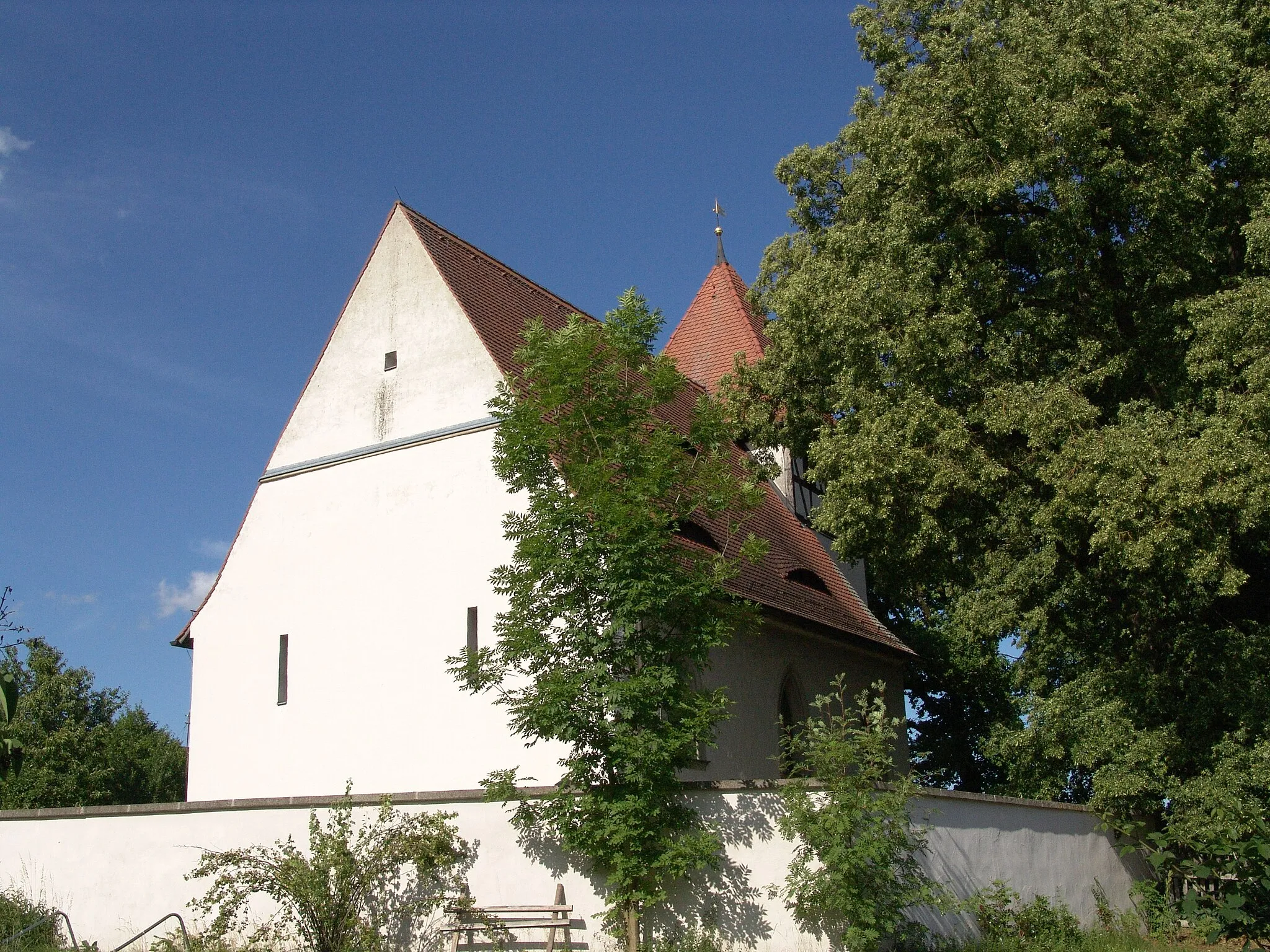
UehlfeldVillageDiscover the historic town of Uehlfeld, known for its traditional half-timbered houses and scenic countryside surrounding the area.
24 km
24 km
Steinberg346 mPeakMarvel at the beauty of Steinberg, a small village with a medieval castle situated atop a hill, offering stunning views of the surrounding landscape.
37 km
37 km
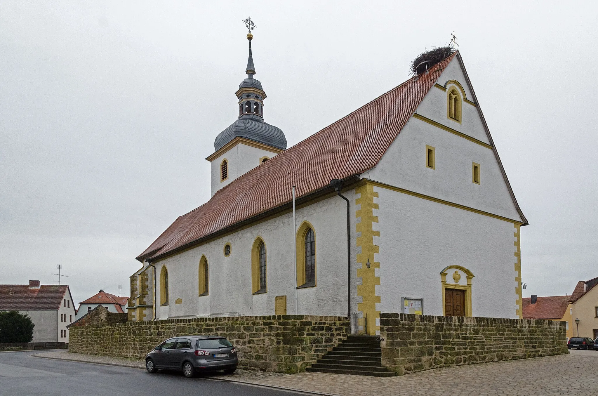
HagenbüchachVillageImmerse yourself in the natural beauty of Hagenbüchach, renowned for its rolling hills and lush green vineyards.
54 km
54 km
RennhofenVillageExperience the tranquility of Rennhofen, a peaceful village surrounded by idyllic meadows and forests.
62 km
62 km
DiespeckVillageFeel the adrenaline rush as you conquer the challenging terrain of Diespeck, with its steep ascents and thrilling descents.
69 km
69 km
Roßkopf347 mPeakReach the summit of Roßkopf and enjoy panoramic views of the Franconian countryside spread out beneath you.
79 km
79 km
Düllberg393 mPeakAdmire the medieval architecture of Düllberg, including its well-preserved castle that overlooks the village and surrounding farmland.
80 km
80 km
BreitenloheCastleDiscover the hidden gem of Breitenlohe, a charming village known for its traditional Bavarian architecture and serene atmosphere.
87 km
87 km
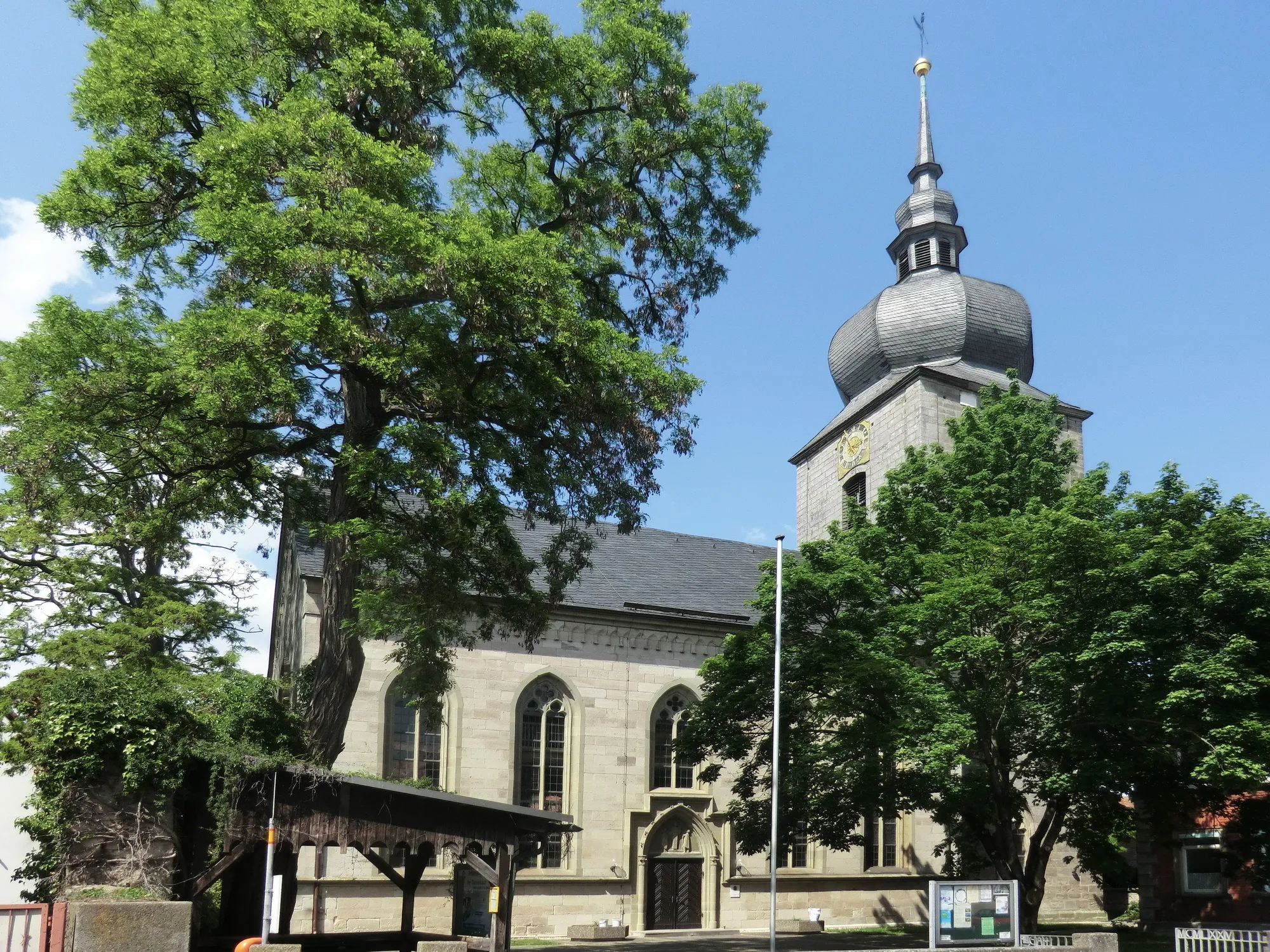
RambachVillageCycle through the scenic landscapes surrounding Rambach, home to quaint farmhouses and winding country roads.
88 km
88 km
Finish: Schlüsselfeld City centerSchlüsselfeld: Exploring the picturesque Bavarian countryside from Schlüsselfeld.
Cycling routes from Schlusselfeld:
Schlüsselfeld Adventure Zettmannsdorf Loop Reichmannsdorf Escape Burgebrach Explorer Scenic Road Cycling Route near Schlüsselfeld Road Cycling Tour in Schlüsselfeld and Beyond Challenging Road Cycling Adventure near Schlüsselfeld Steigerwald Panorama Gravel Adventure through Franconian Countryside Epic Road Cycling Journey in Oberfranken Gravel Adventure Through Oberfranken
Cycling routes nearby: