Scenic Road Cycling Route near Schlüsselfeld
A road cycling route starting from Schlusselfeld
Cycle through picturesque landscapes and visit charming villages
Map
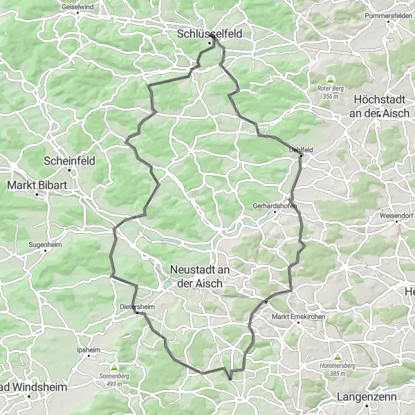
Discover the scenic beauty of the Oberfranken region with this 85-kilometer road cycling route. Meander through the German countryside, passing through Uehlfeld, Storchennest, and Marberg. With a total ascent of 1,022 meters, this route offers a moderate challenge for road cycling enthusiasts seeking to explore the picturesque landscapes and encounter charming villages along the way.
road
85 km
1022 m
Tough
Route profile
Highlights on the route
0 km
0 km
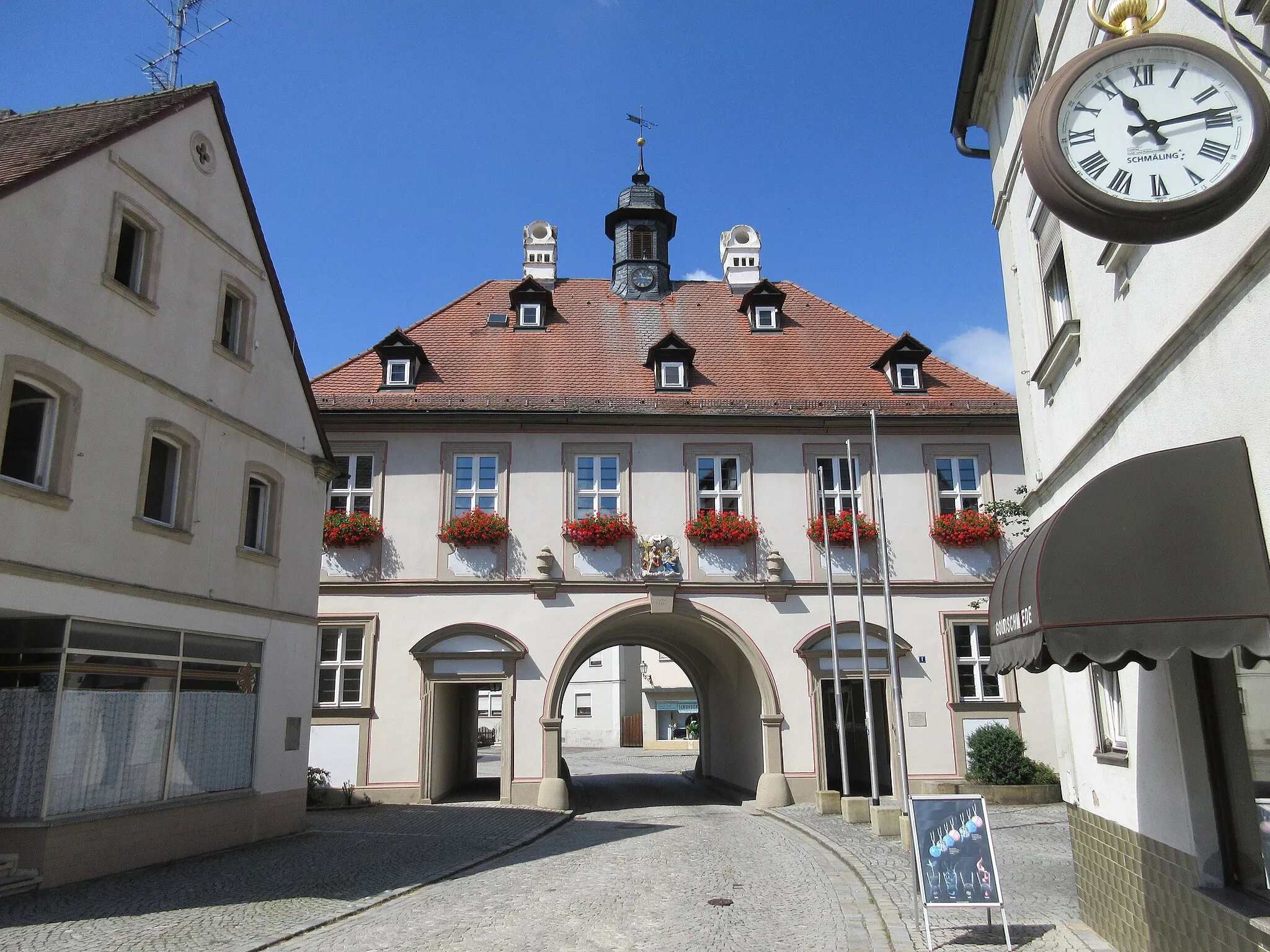
Start: Schlüsselfeld City centerSchlüsselfeld: Exploring the picturesque Bavarian countryside from Schlüsselfeld.
Schlüsselfeld is a small town located in the Oberfranken region of Germany. From a cyclist's perspective, it offers a mix of flat and hilly routes through the picturesque Bavarian countryside. The roads are well-maintained and quite suitable for cycling. Schlüsselfeld is also conveniently situated near the Steigerwald Nature Park, which offers beautiful trails for mountain biking enthusiasts. Overall, Schlüsselfeld is a good choice for road and gravel cyclists looking to explore the scenic beauty of Oberfranken.15 km
15 km
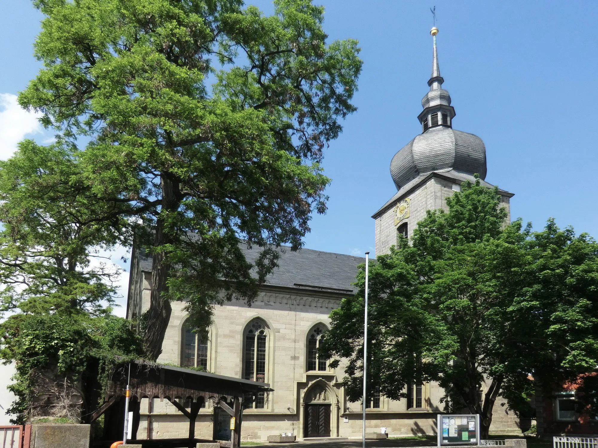
UehlfeldVillageExplore Uehlfeld, a quaint village rich in history and culture, with its distinctive Franconian architecture and charming market square.
16 km
16 km
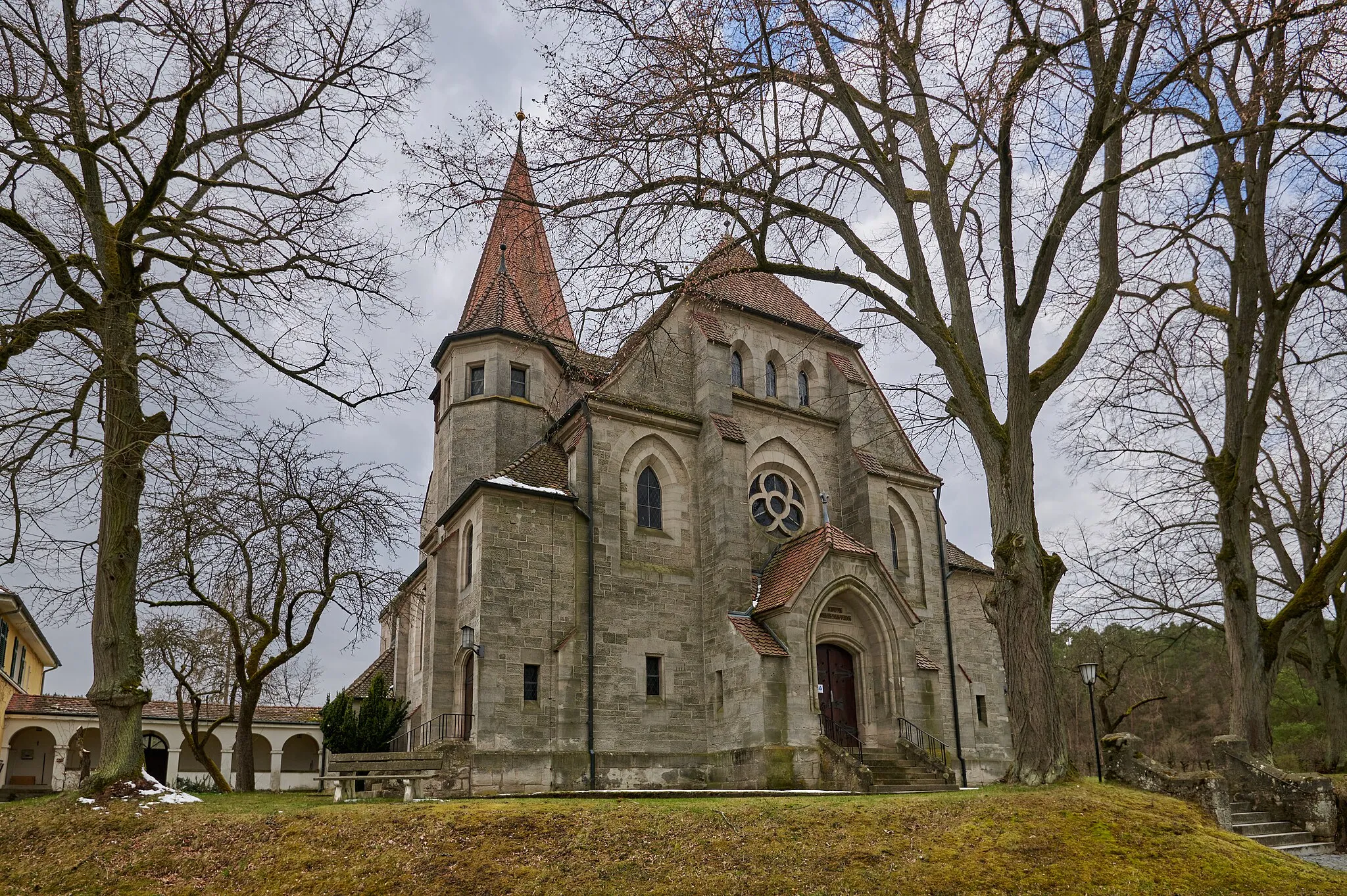
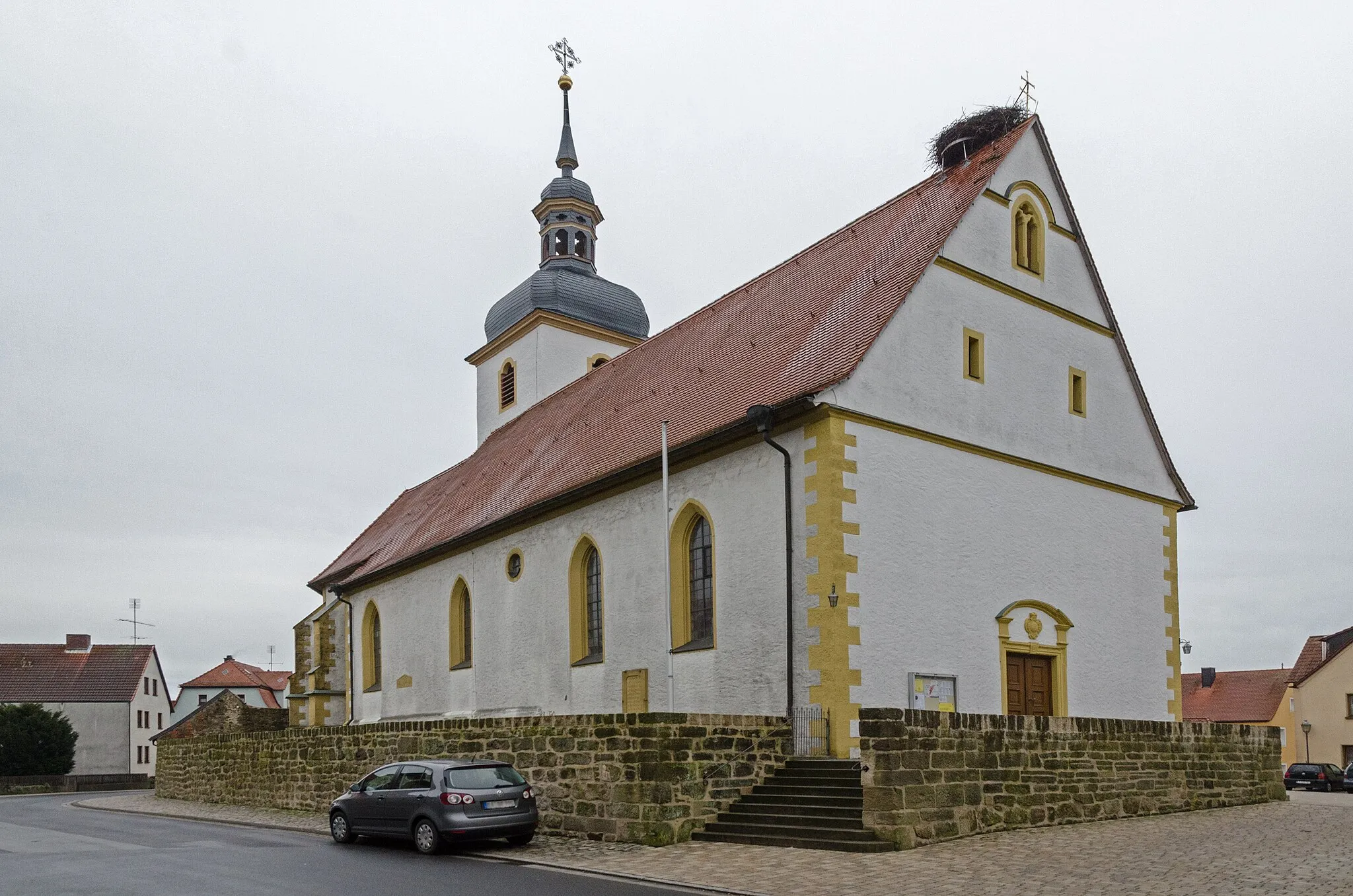
StorchennestViewpointPass through Storchennest, known for its large population of storks and beautiful views of their nesting sites.
52 km
52 km
Marberg323 mPeakCycle through the peaceful village of Marberg, surrounded by verdant fields and farmland typical of the Franconian countryside.
72 km
72 km
Hohe Föhren414 mPeakMarvel at the majestic Hohe Föhren, an ancient forest known for its towering pine trees and tranquil ambience.
74 km
74 km
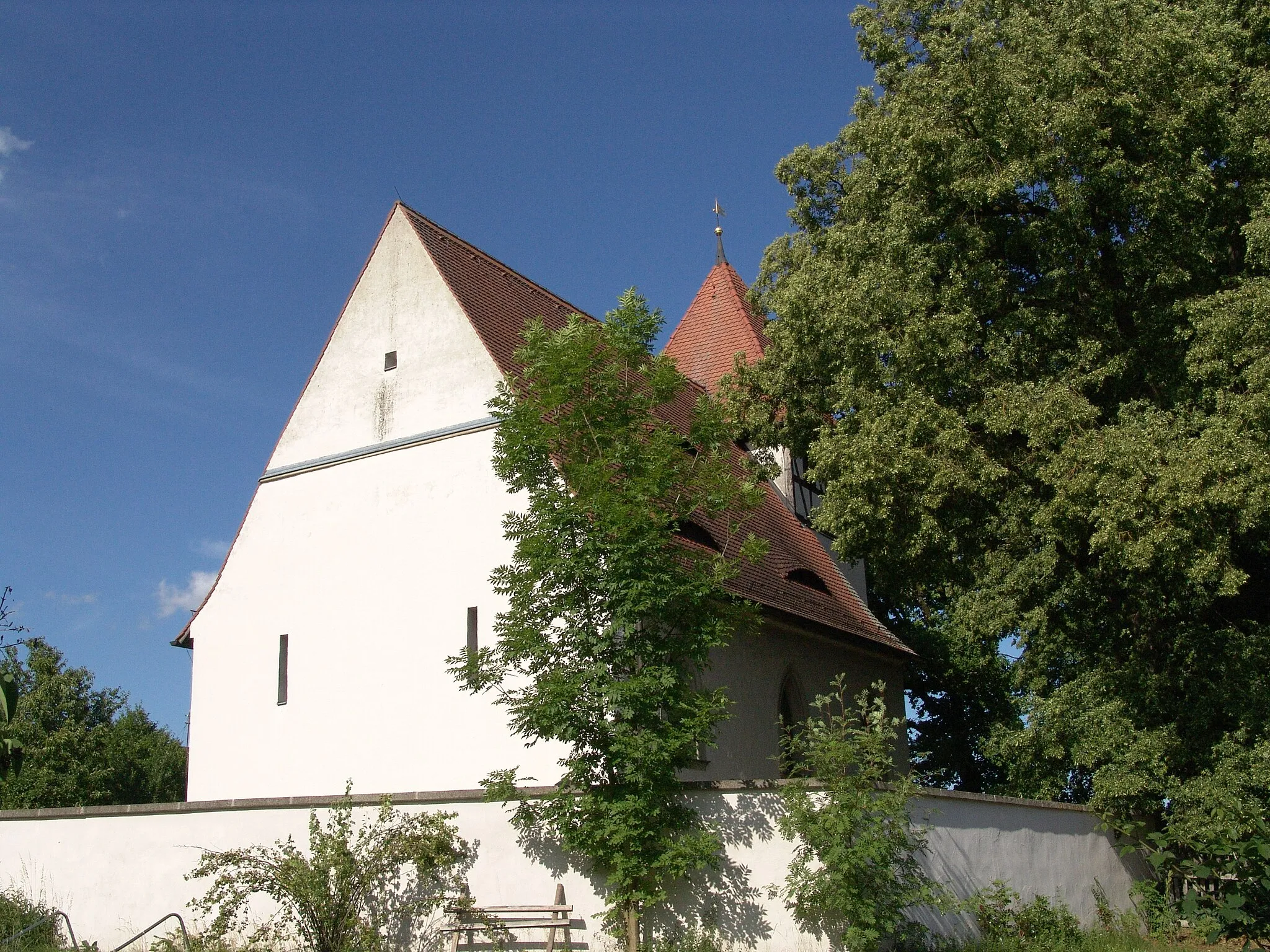
Markt TaschendorfVillageVisit Markt Taschendorf, a charming village boasting traditional Franconian architecture and beautiful surrounding landscapes.
85 km
85 km
Finish: Schlüsselfeld City centerSchlüsselfeld: Exploring the picturesque Bavarian countryside from Schlüsselfeld.
Cycling routes from Schlusselfeld:
Schlüsselfeld Adventure Zettmannsdorf Loop Reichmannsdorf Escape Burgebrach Explorer Scenic Road Cycling Route near Schlüsselfeld Road Cycling Tour in Schlüsselfeld and Beyond Challenging Road Cycling Adventure near Schlüsselfeld Steigerwald Panorama Gravel Adventure through Franconian Countryside Epic Road Cycling Journey in Oberfranken Gravel Adventure Through Oberfranken
Cycling routes nearby: