Cycling through scenic landscapes in Unterfranken.
Cycling routes from Geiselwind
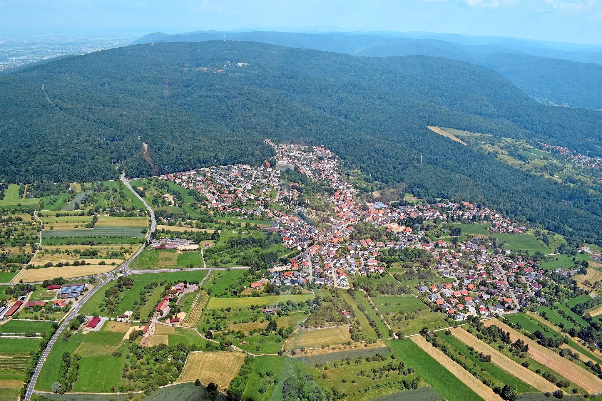
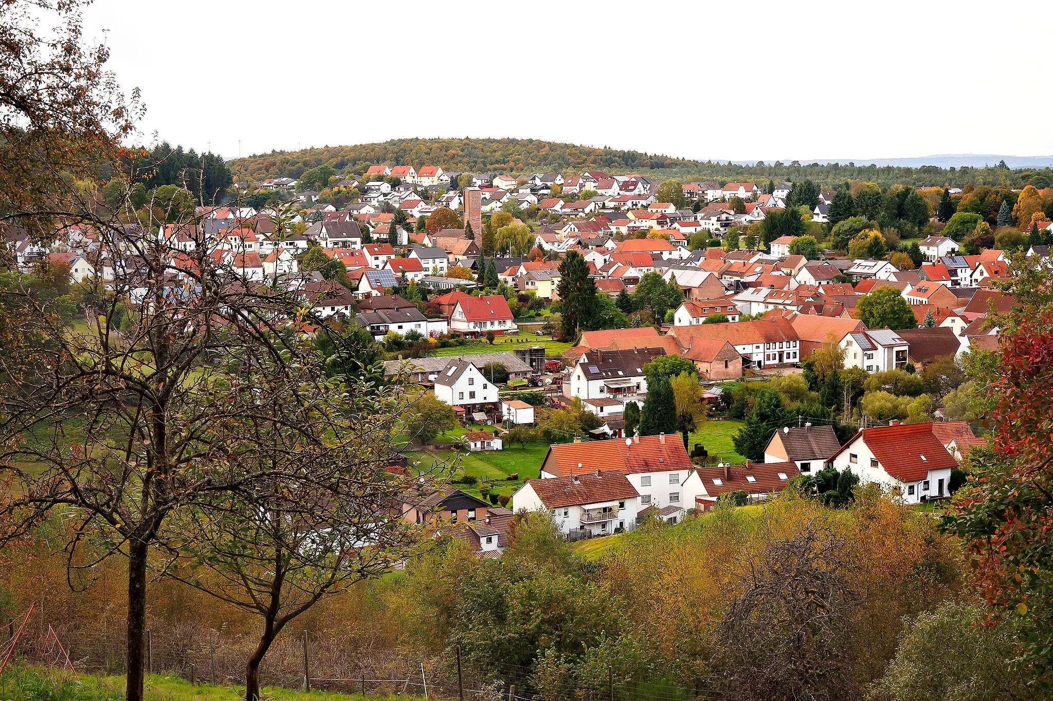
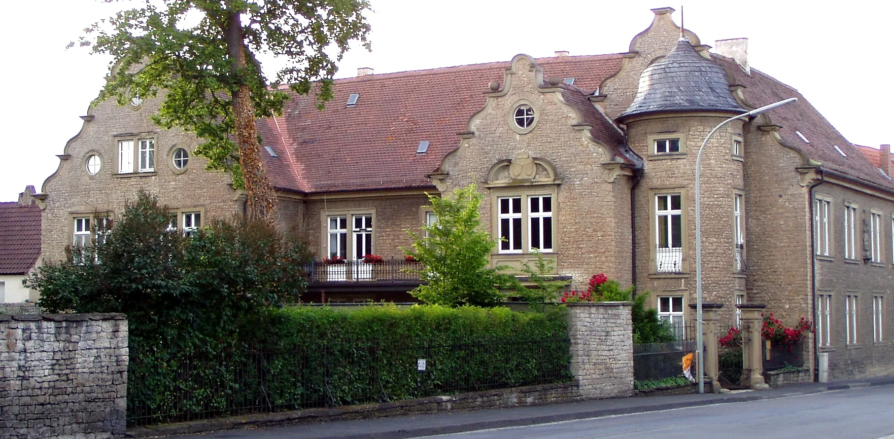
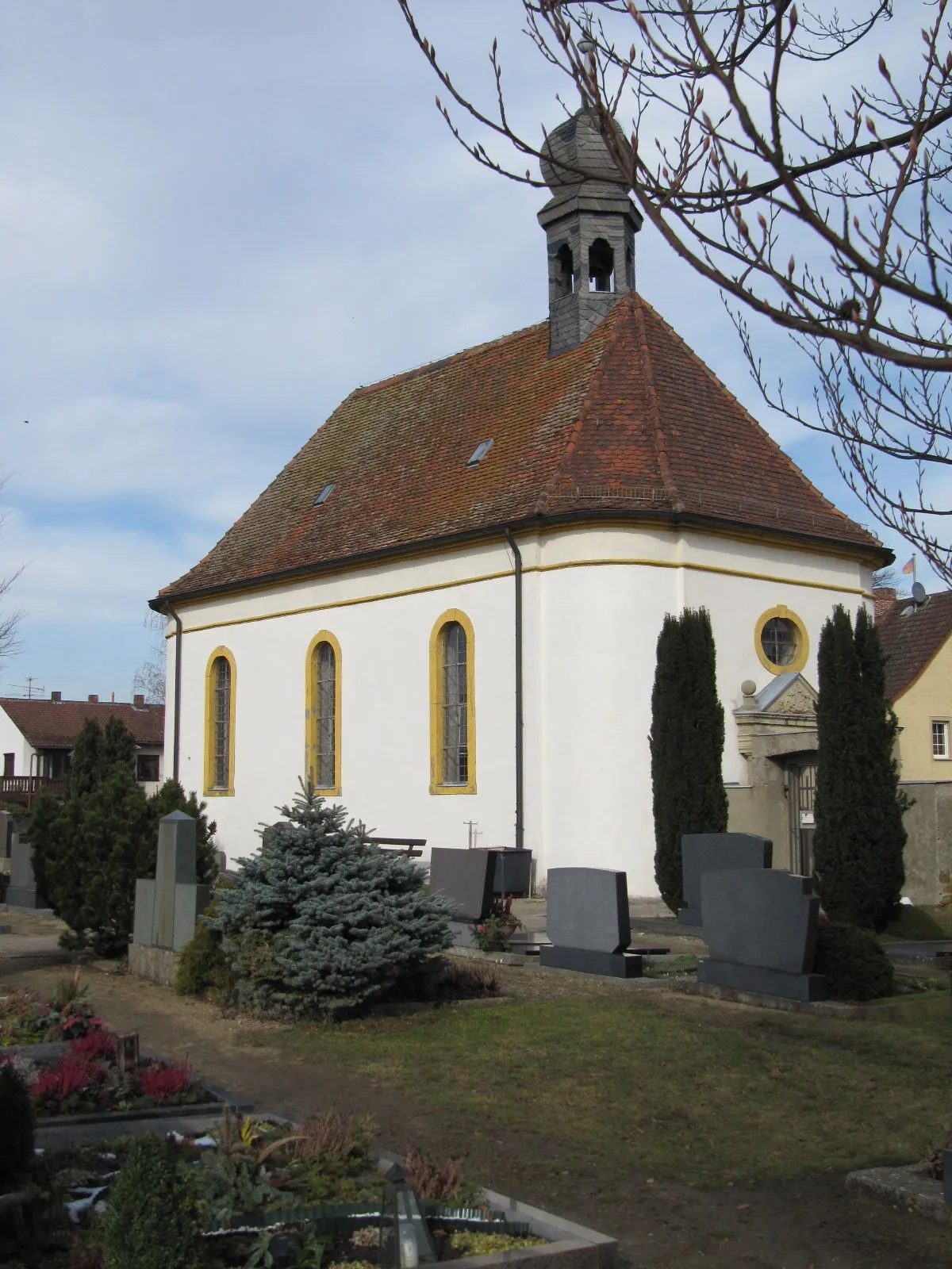
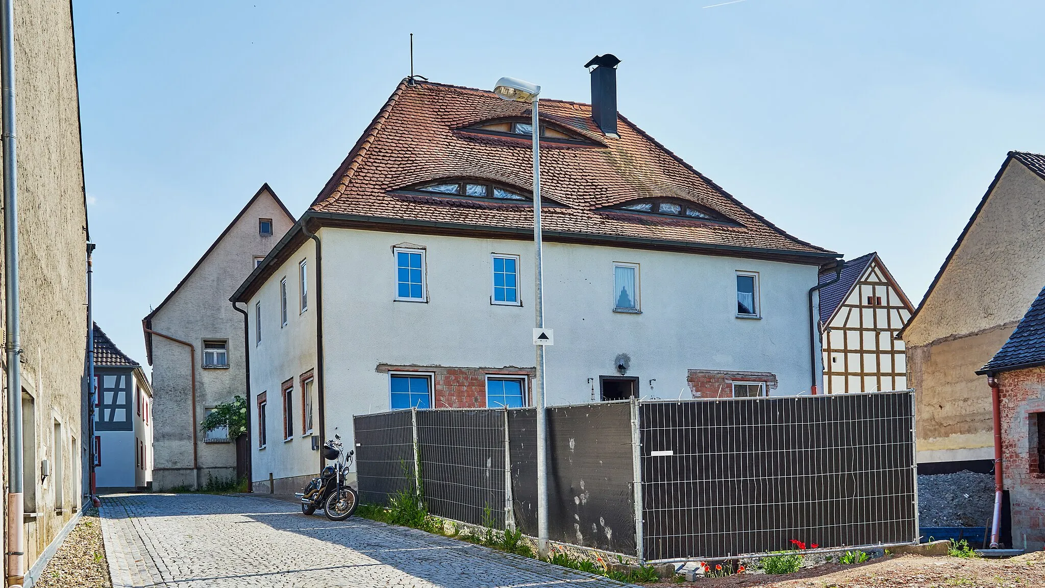
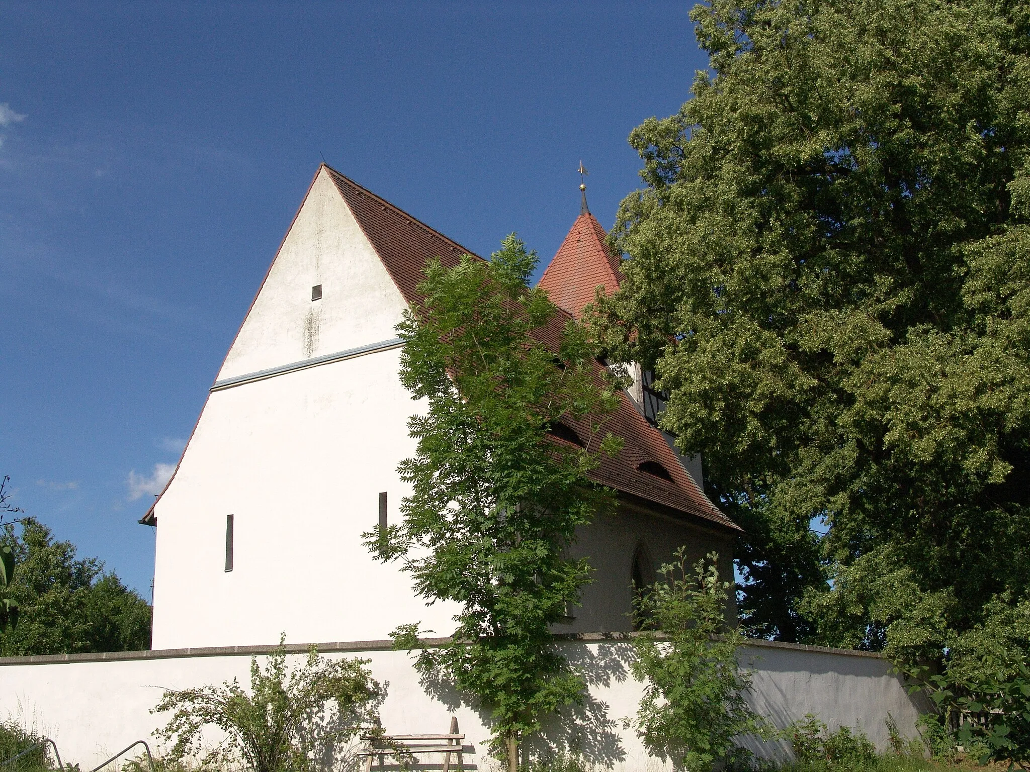
Geiselwind is a small town located in Unterfranken, Germany. As a road and gravel cyclist, Geiselwind offers a variety of cycling routes that cater to different skill levels. The surrounding countryside features beautiful landscapes, including rolling hills and picturesque villages. Cyclists can enjoy peaceful rides on well-maintained roads, with minimal traffic. One of the famous cycling-related spots in the area is the Drei-Franken-Stein, a granite stone marking the historical intersection of three ancient franconian territories. There are also some challenging climbs nearby, such as Kist-Thürnau which offers stunning views at the top. Overall, Geiselwind is a great destination for cyclists looking to explore the scenic beauty of Unterfranken.
Explore the hidden gems of the Franconian countryside on this road route.
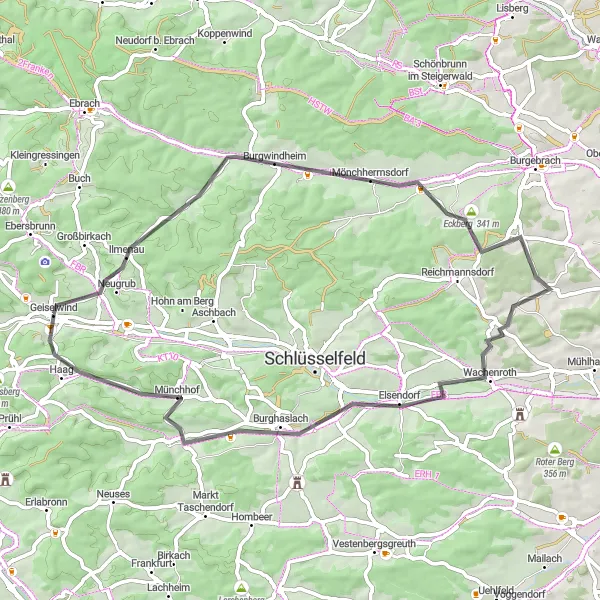
Embark on a road cycling adventure from Geiselwind, cycling through Burgwindheim, Eckberg, Treppendorf, Wachenroth, Kirchrimbach, Lohberg, and back to Geiselwind. The route covers a distance of 56 km with 619 meters of ascent. Highlights include the historic Burgwindheim, famous for its medieval castle, and the charming village of Wachenroth. Enjoy sweeping views of the Franconian countryside as you pedal through picturesque landscapes.
Scenic Geiselwind Loop
Ride through picturesque landscapes and charming villages
Embark on a scenic journey through the beautiful landscapes of Unterfranken. Start your ride in Geiselwind and be prepared to be captivated by charming villages and stunning rural scenery. This route offers a fantastic mix of challenging climbs and thrilling descents, making it an ideal adventure for experienced cycled enthusiasts.
Embark on an epic gravel adventure to conquer the Prühler Berg.
Venture into the rugged terrain of Franconia on this challenging gravel cycling route. Starting from Geiselwind, you will tackle the Prühler Berg climb, cycle through scenic landscapes, pass by Schloss Schwarzenberg, explore Markt Bibart, conquer Enzlarberg, ride up Rotes Hörnle, and finish with the thrilling descent from Top of the World. With 610 meters of ascent and a distance of 49 km, this route promises exhilarating off-road cycling and breathtaking views.

Cycle through picturesque towns and enchanting landscapes on this road route.
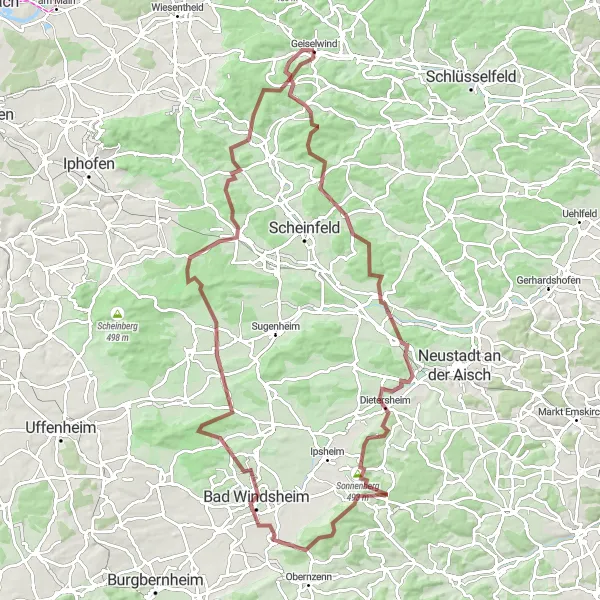
Embark on a scenic road cycling journey from Geiselwind through Market Taschendorf, Märzenberg, Klausberg, Dietersheim, Kühnberg, Sugenheim, Galgenbuck, Oberscheinfeld, and back to Geiselwind. With a total distance of 81 km and 973 meters of ascent, this route offers beautiful views of the Franconian region. The highlights include Markt Taschendorf, known for its charming market square, and Galgenbuck, which offers panoramic vistas over the surrounding countryside.
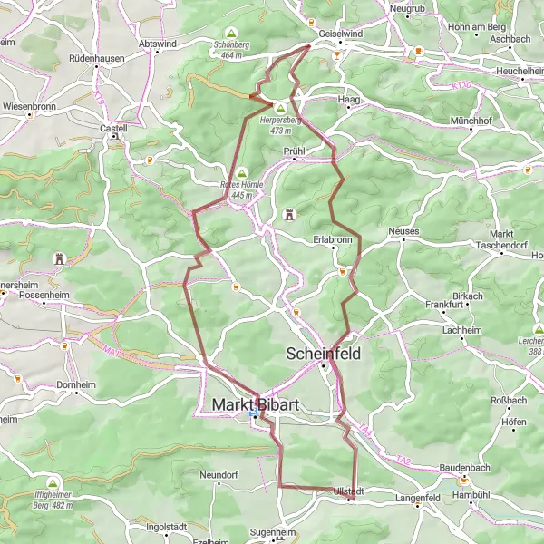
Explore the scenic countryside on this gravel route
This circular route takes you through the beautiful Unterfranken region, starting near Geiselwind. Enjoy the picturesque landscapes and charming villages along the way. The route includes a total ascent of 901 meters and covers a distance of 53 kilometers. With mostly gravel roads, it offers a unique cycling experience for those seeking adventure and a connection with nature.
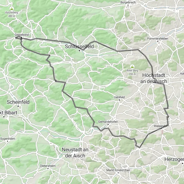
Take on the Lisberg challenge, an epic road cycling route through the Franconian countryside.
Embark on an epic road cycling adventure from Geiselwind, journeying through Ebrach, Euerberg, Unterschleichach, Lisberg, Eckberg, Schlüsselfeld, and Hutzelmühle before making your way back to Geiselwind. This challenging route spans 86 km with a total ascent of 1191 meters. Highlights include the picturesque town of Ebrach, known for its historic monastery, and Lisberg, famous for its ancient castle towering over the landscape. Experience the thrill of conquering various climbs and enjoy incredible vistas of the Franconian countryside.
Embark on an epic gravel adventure to the Top Of The World
Gear up for a thrilling and challenging ride from Geiselwind to the Top Of The World. This gravel route covers a distance of 103 kilometers and involves a total ascent of 1194 meters. Experience varied terrain, from rolling hills to steep climbs, as you journey through the beautiful landscapes of Unterfranken. Explore picturesque villages, enjoy panoramic views, and discover hidden gems along the way.
Conquer breathtaking climbs and enjoy panoramic views
Get ready for an epic cycling adventure in Unterfranken. This challenging route is designed for experienced cyclists looking for a thrilling challenge. Start your ride near Geiselwind and get ready to climb! Ascend to towering heights and enjoy breathtaking panoramic views over the rolling hills and picturesque landscapes of the region. The route promises a rewarding mix of challenging climbs, thrilling descents, and unforgettable highlights along the way.
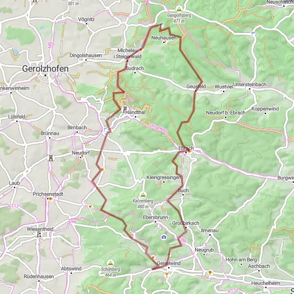
Kloster Ebrach and Füttersee
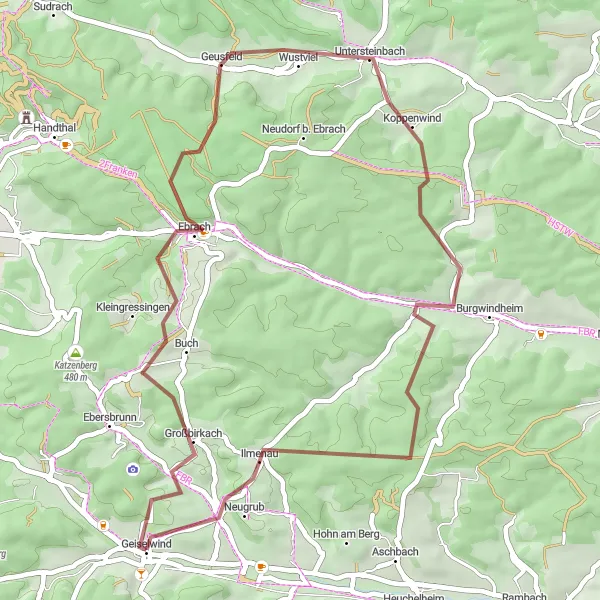
Explore the medieval beauty of Kloster Ebrach and enjoy the peaceful surroundings of Füttersee.
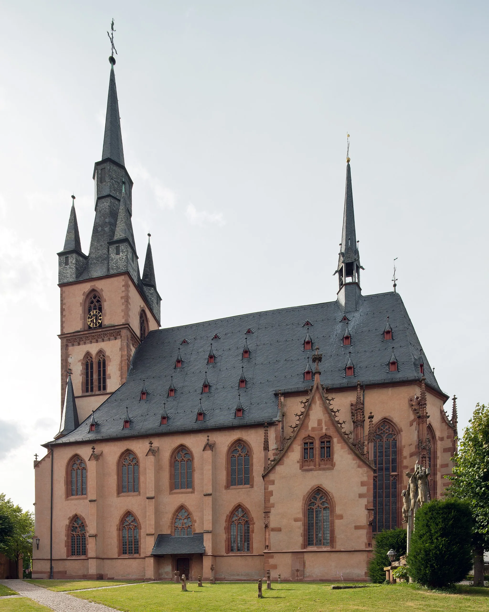
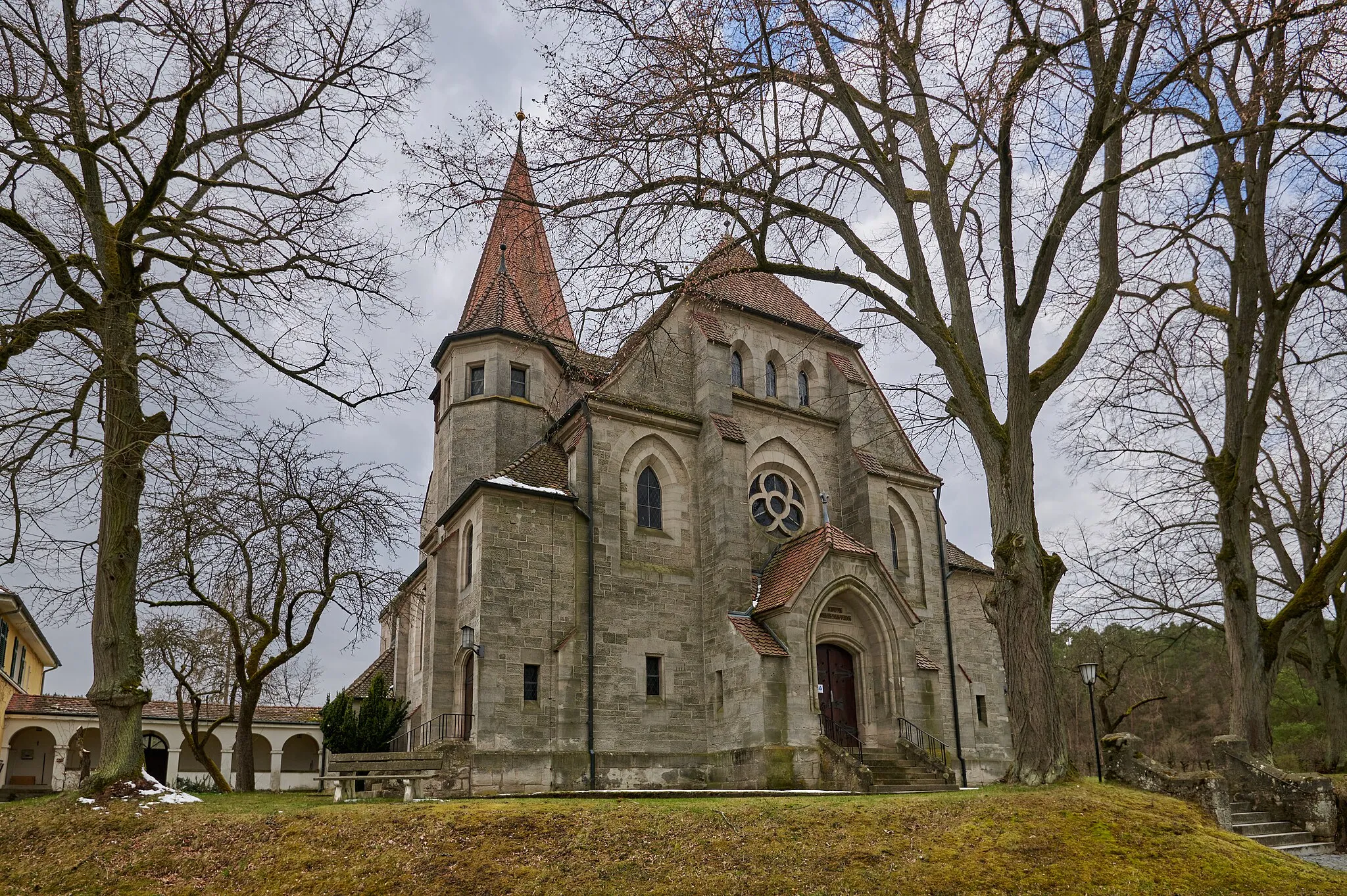
This scenic cycling route starting near Geiselwind takes you through quaint villages, rolling hills, and beautiful countryside. With a distance of 44 kilometers and an ascent of 761 meters, the route offers a challenging yet rewarding experience for well-trained amateur cyclists. As you ride through the picturesque region of Unterfranken, you'll be captivated by the charm of Kloster Ebrach, a historic monastery dating back to the 12th century. Take a moment to explore the impressive architecture and serene atmosphere of this hidden gem. Another highlight of the route is Füttersee, a tranquil lake surrounded by lush greenery. Relax and enjoy the beauty of nature before continuing your journey.
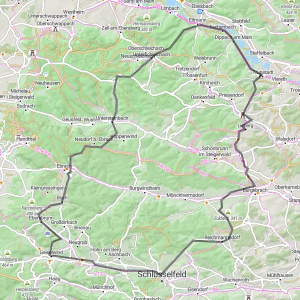
Experience gravel cycling at its best on this adventurous route through Franconia.
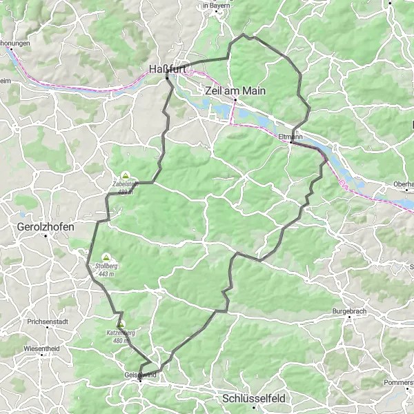
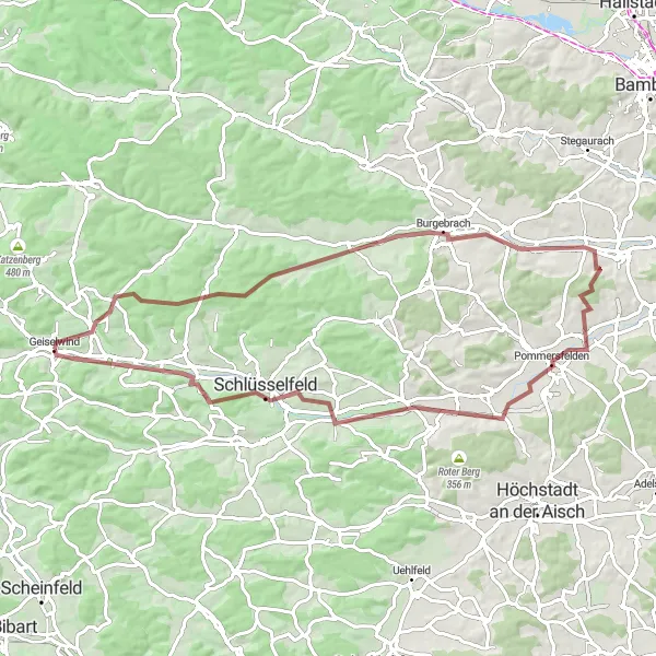
Embark on a thrilling gravel cycling adventure from Geiselwind, winding through Wüstenbuch, Burgebrach, Pommersfelden, Wachenroth, Heuchelheim, and back to Geiselwind. With a distance of 71 km and 607 meters of ascent, this route offers the perfect mix of scenic landscapes and off-road excitement. Highlights include the remote and tranquil Wüstenbuch, the picturesque village of Burgebrach with its historic charm, and Pommersfelden, known for its magnificent baroque palace and gardens.
Cycling routes nearby:


Nearby regions: