Geiselwind to Top Of The World Gravel Adventure
A gravel cycling route starting from Geiselwind
Embark on an epic gravel adventure to the Top Of The World
Map
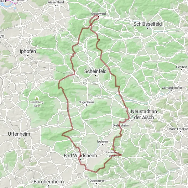
Gear up for a thrilling and challenging ride from Geiselwind to the Top Of The World. This gravel route covers a distance of 103 kilometers and involves a total ascent of 1194 meters. Experience varied terrain, from rolling hills to steep climbs, as you journey through the beautiful landscapes of Unterfranken. Explore picturesque villages, enjoy panoramic views, and discover hidden gems along the way.
gravel
103 km
1194 m
Tough
Route profile
Highlights on the route
0 km
0 km
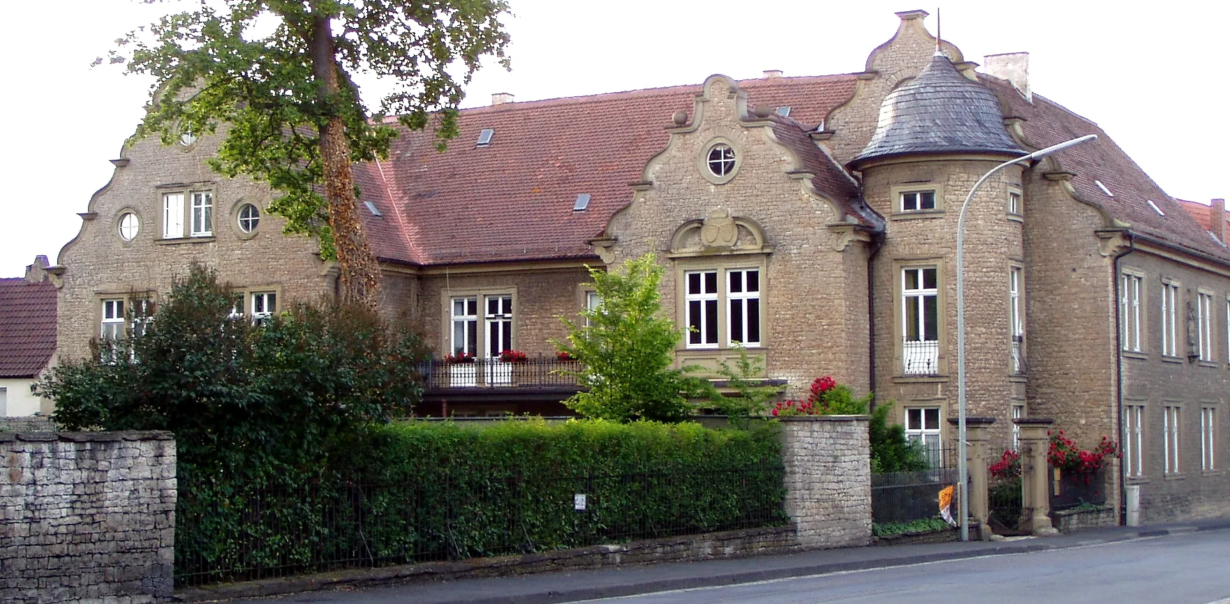
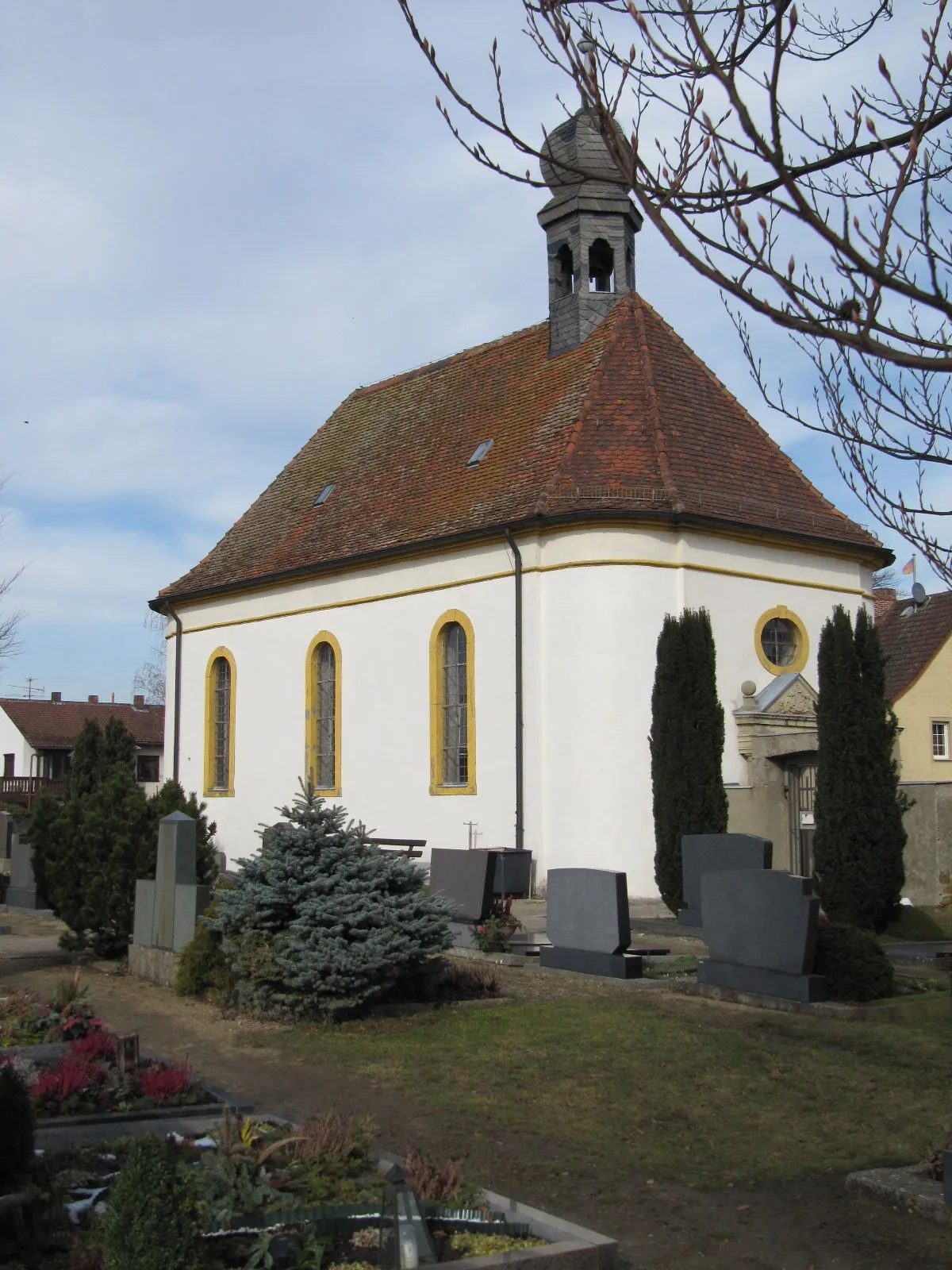
Start: Geiselwind Village centerGeiselwind: Cycling through scenic landscapes in Unterfranken.
Geiselwind is a small town located in Unterfranken, Germany. As a road and gravel cyclist, Geiselwind offers a variety of cycling routes that cater to different skill levels. The surrounding countryside features beautiful landscapes, including rolling hills and picturesque villages. Cyclists can enjoy peaceful rides on well-maintained roads, with minimal traffic. One of the famous cycling-related spots in the area is the Drei-Franken-Stein, a granite stone marking the historical intersection of three ancient franconian territories. There are also some challenging climbs nearby, such as Kist-Thürnau which offers stunning views at the top. Overall, Geiselwind is a great destination for cyclists looking to explore the scenic beauty of Unterfranken.0 km
0 km
GeiselwindVillageBegin your adventure in Geiselwind, a charming town with a rich history and vibrant atmosphere.
6 km
6 km
Prühler Berg436 mPeakConquer the Prühler Berg, a challenging climb that rewards you with stunning views.
23 km
23 km
HambühlVillageExplore the Hambühl and enjoy breathtaking views from its hilltop location.
31 km
31 km
Marberg323 mPeakVisit Marberg, a quaint village known for its traditional half-timbered houses and local craftsmanship.
33 km
33 km
DietersheimVillagePedal through the scenic Dietersheim and take in the beauty of its rural surroundings.
51 km
51 km
Mittelberg399 mPeakExperience the small village of Mittelberg and its charming rural atmosphere.
57 km
57 km
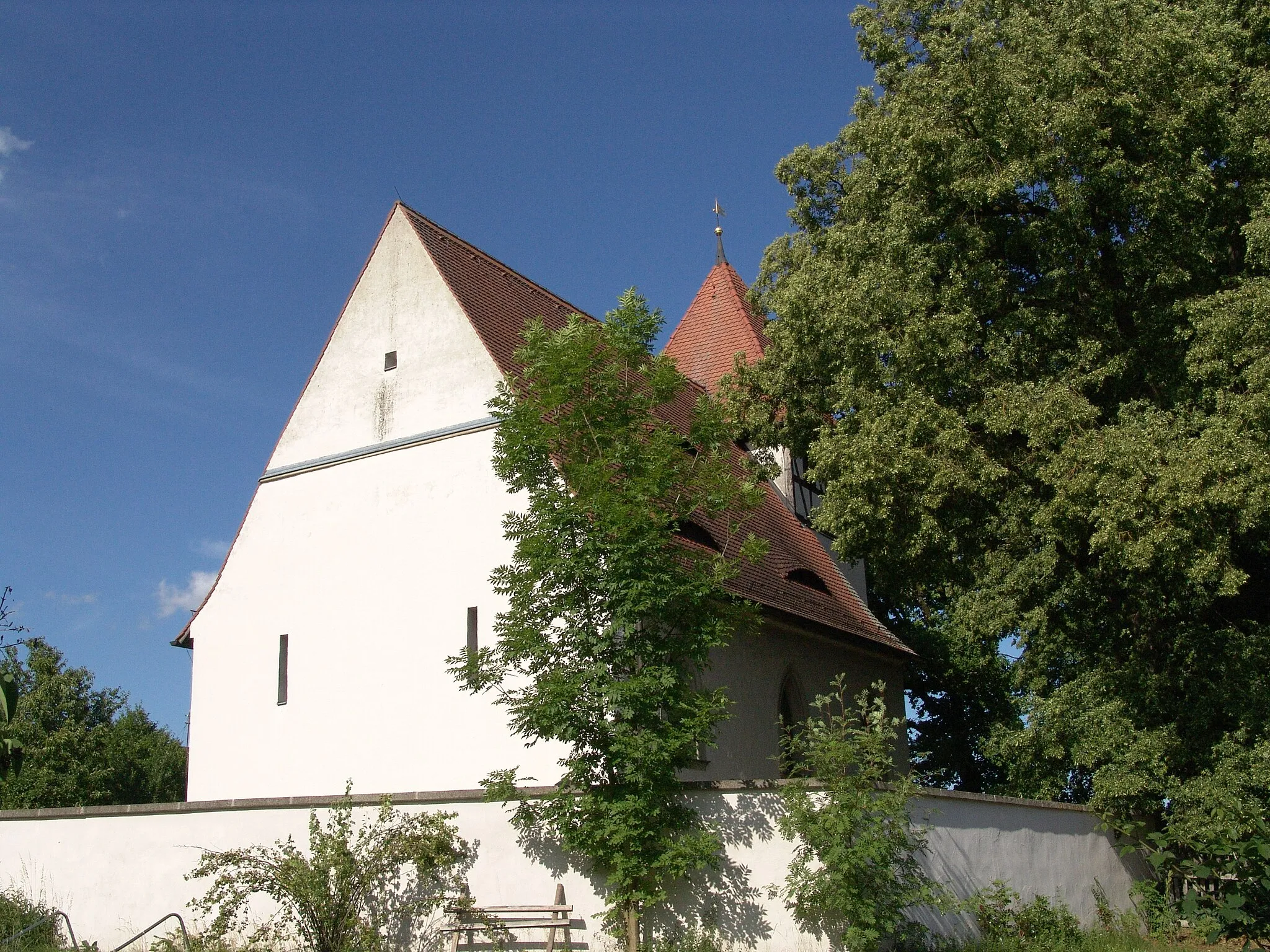
Bad WindsheimTownDiscover Bad Windsheim, a historic town with well-preserved architecture and a rich cultural heritage.
70 km
70 km
KrautostheimVillagePass through Krautostheim and admire its quaint charm and traditional farming culture.
77 km
77 km
Steinbürg426 mPeakVisit Steinbürg and enjoy its picturesque landscape characterized by vineyards and rolling hillsides.
94 km
94 km
Rotes Hörnle445 mPeakTake a break at Rotes Hörnle, a hill offering stunning views of the surrounding countryside.
102 km
102 km
Top Of The WorldAttractionReach the Top Of The World, the highest point of the route, and marvel at the breathtaking panoramic vistas.
103 km
103 km
Finish: Geiselwind Village centerGeiselwind: Cycling through scenic landscapes in Unterfranken.
Cycling routes from Geiselwind:
Geiselwind to Circuit In the Franconian Bell Geiselwind to Discover the Franconian Countryside The Gravel Adventure through Franconia Gravel Exploration: Prühler Berg Adventure Geiselwind to Lisberg Challenge Geiselwind to Glösberg Gravel Loop Scenic Geiselwind Loop The Ultimate Unterfranken Challenge Geiselwind Gravel Adventure Geiselwind to Top Of The World Gravel Adventure Kloster Ebrach and Füttersee
Cycling routes nearby: