Geiselwind Gravel Adventure
A gravel cycling route starting from Geiselwind
Embark on an exciting gravel adventure near Geiselwind
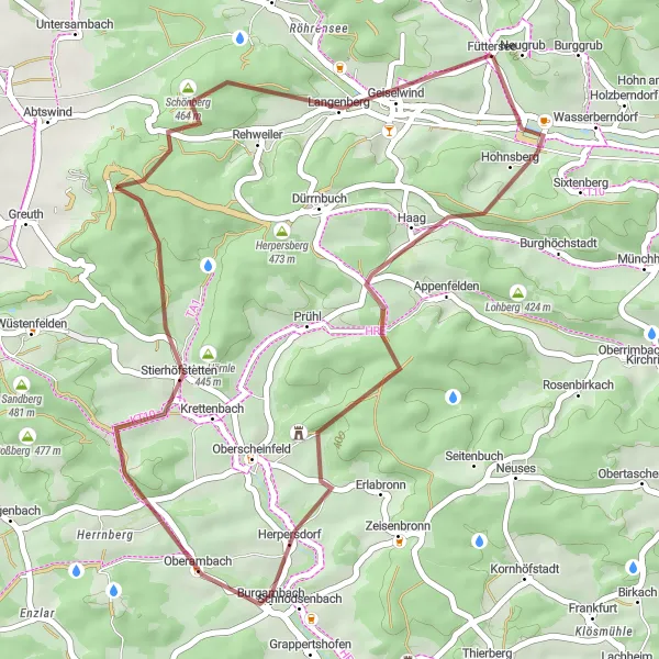
Map
Discover the thrill of off-road cycling on this exciting gravel adventure near Geiselwind. This route is perfect for gravel enthusiasts looking for a challenging yet rewarding ride. Get ready to tackle gravel paths and explore the stunning natural beauty of Unterfranken. With scenic landscapes and charming rural views, this route promises an adventurous experience like no other.
gravel
37 km
607 m
Tough
Route profile
Highlights on the route
0 km
0 km
Start: Füttersee Village centerGeiselwind: Cycling through scenic landscapes in Unterfranken.
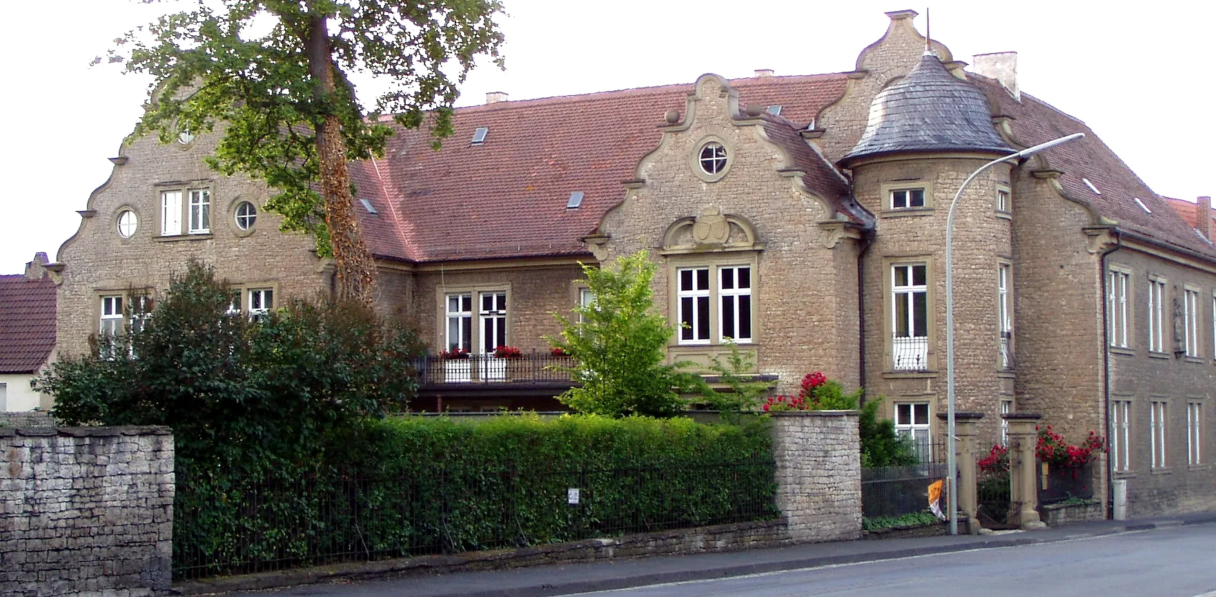
Geiselwind is a small town located in Unterfranken, Germany. As a road and gravel cyclist, Geiselwind offers a variety of cycling routes that cater to different skill levels. The surrounding countryside features beautiful landscapes, including rolling hills and picturesque villages. Cyclists can enjoy peaceful rides on well-maintained roads, with minimal traffic. One of the famous cycling-related spots in the area is the Drei-Franken-Stein, a granite stone marking the historical intersection of three ancient franconian territories. There are also some challenging climbs nearby, such as Kist-Thürnau which offers stunning views at the top. Overall, Geiselwind is a great destination for cyclists looking to explore the scenic beauty of Unterfranken.8 km
8 km
Prühler Berg436 mPeakAscend Prühler Berg and be rewarded with breathtaking views over the surrounding countryside and charming villages.
11 km
11 km
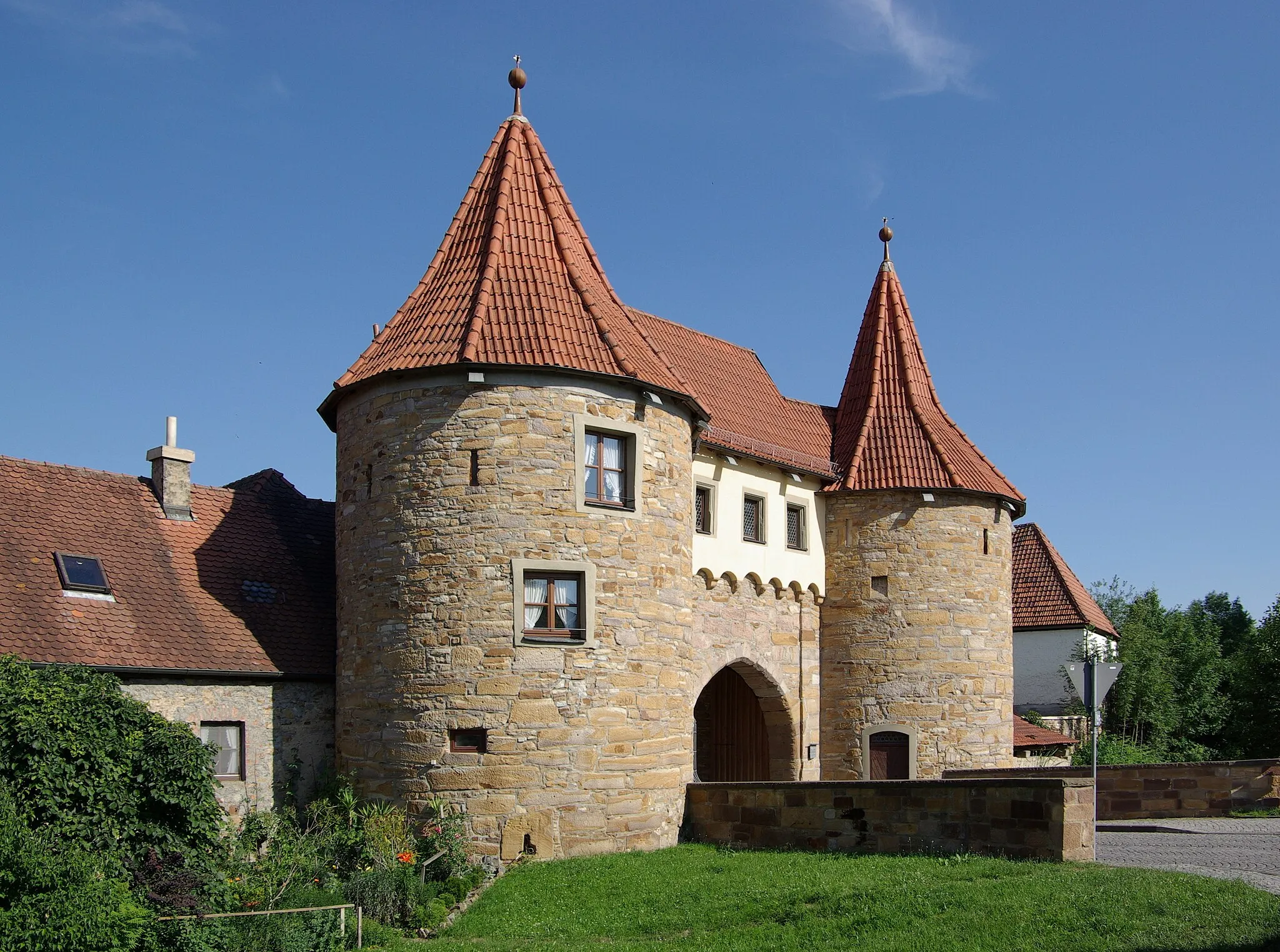
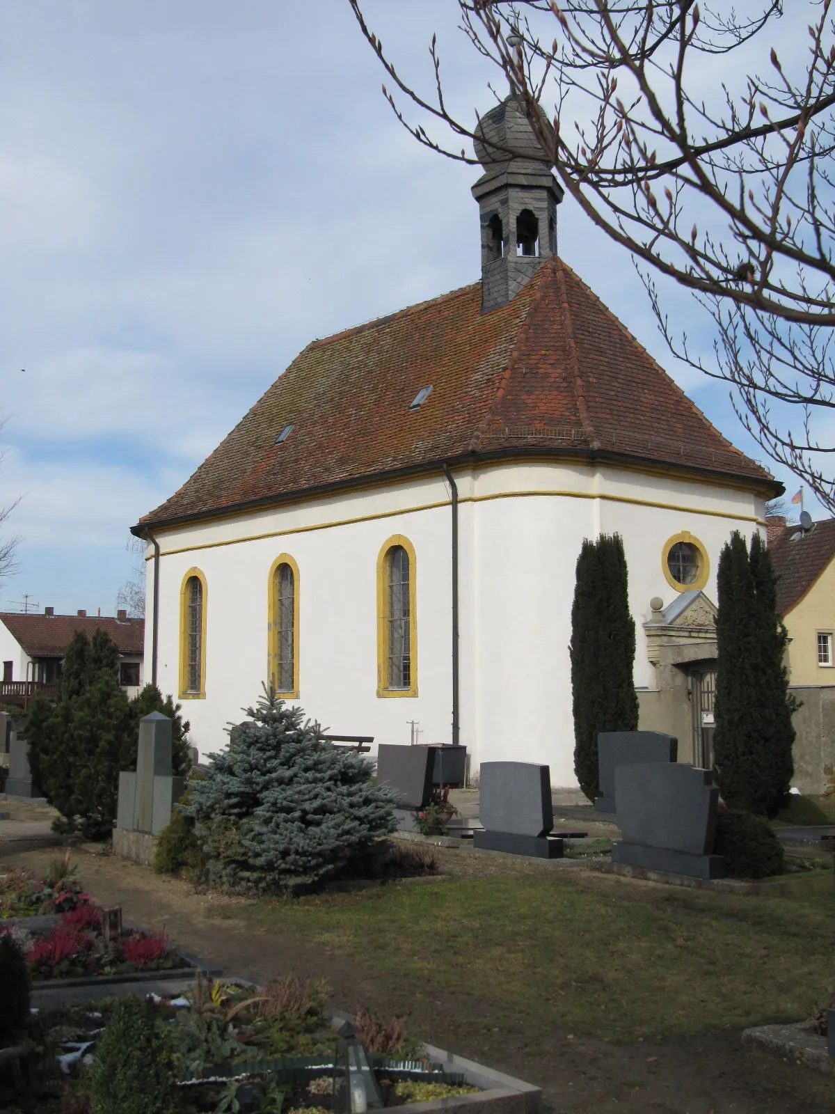
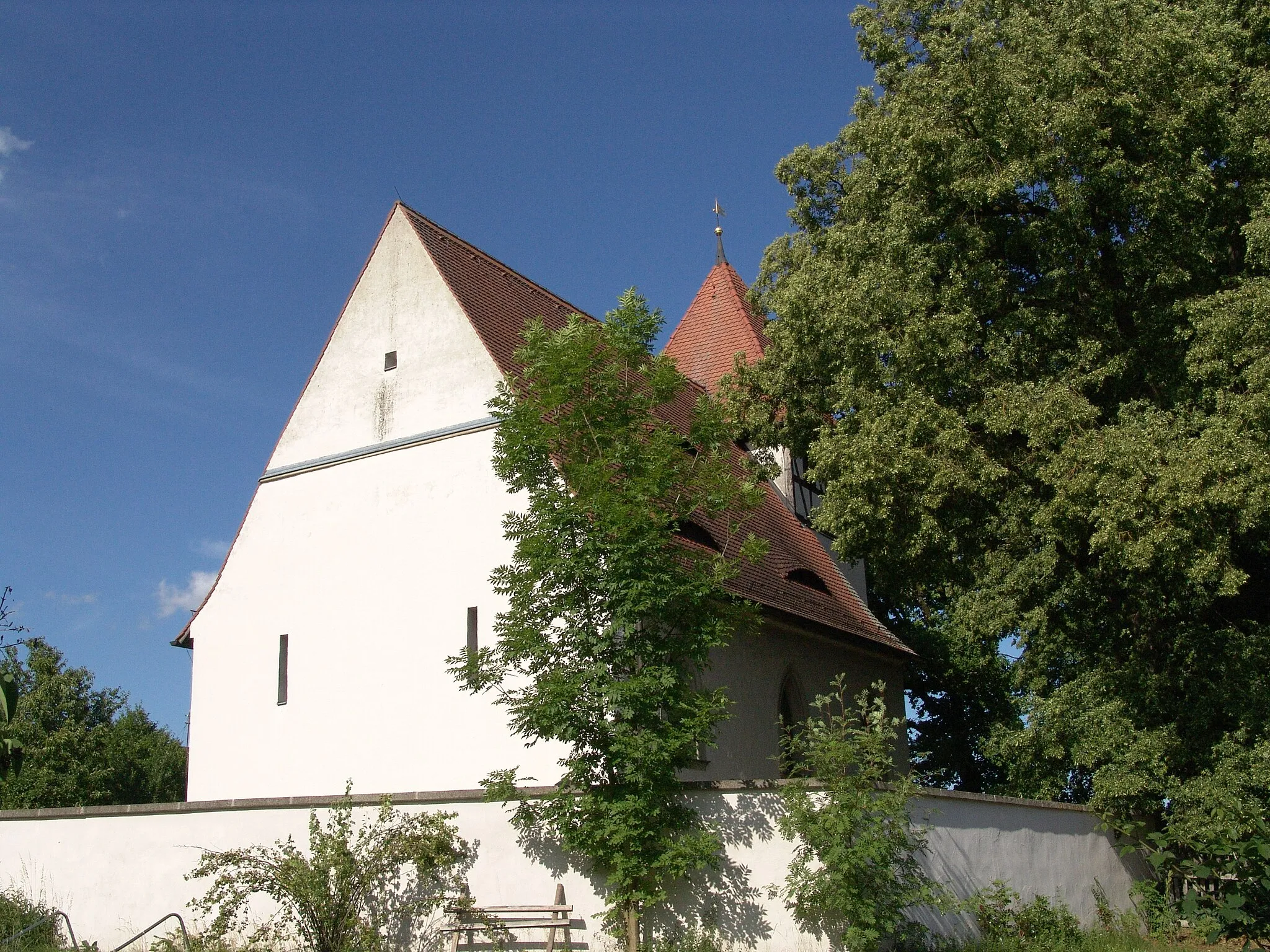
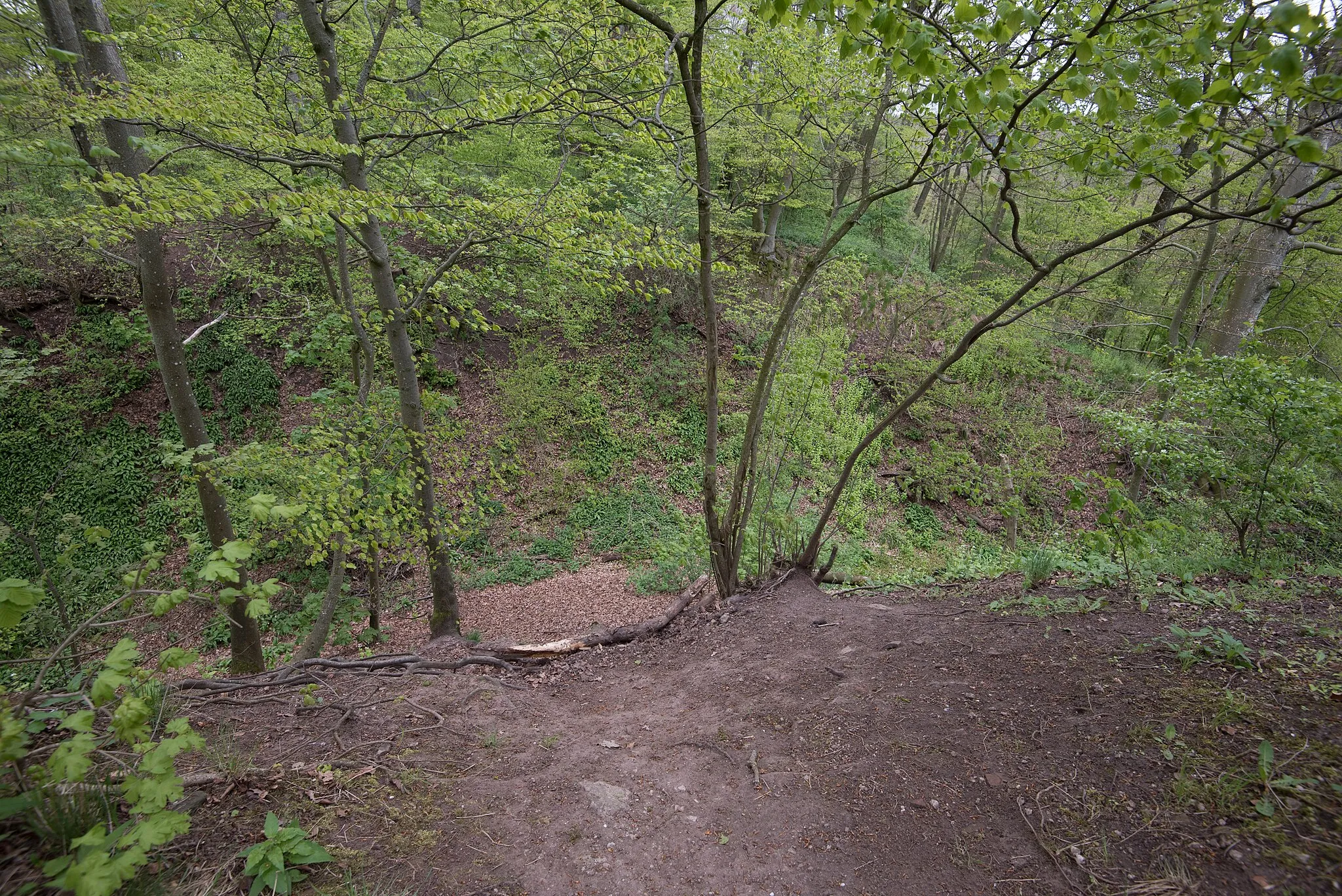
Ruine ScharfeneckCastle RuinsExplore the ruins of Scharfeneck and discover the fascinating history of this medieval fortress.
17 km
17 km
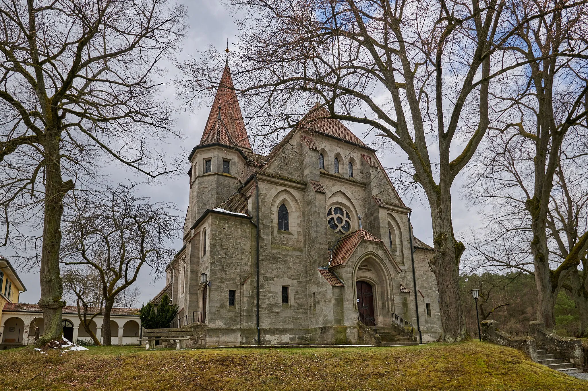
OberambachVillageCycle through the tranquil village of Oberambach, known for its picturesque landscapes and traditional Bavarian architecture.
23 km
23 km
Rotes Hörnle445 mPeakTake a break at Rotes Hörnle and enjoy a picnic surrounded by beautiful nature and stunning panoramic views.
29 km
29 km
Stickelsberg403 mPeakConquer Stickelsberg and feel the adrenaline rush as you cycle down the thrilling descent on the other side.
35 km
35 km
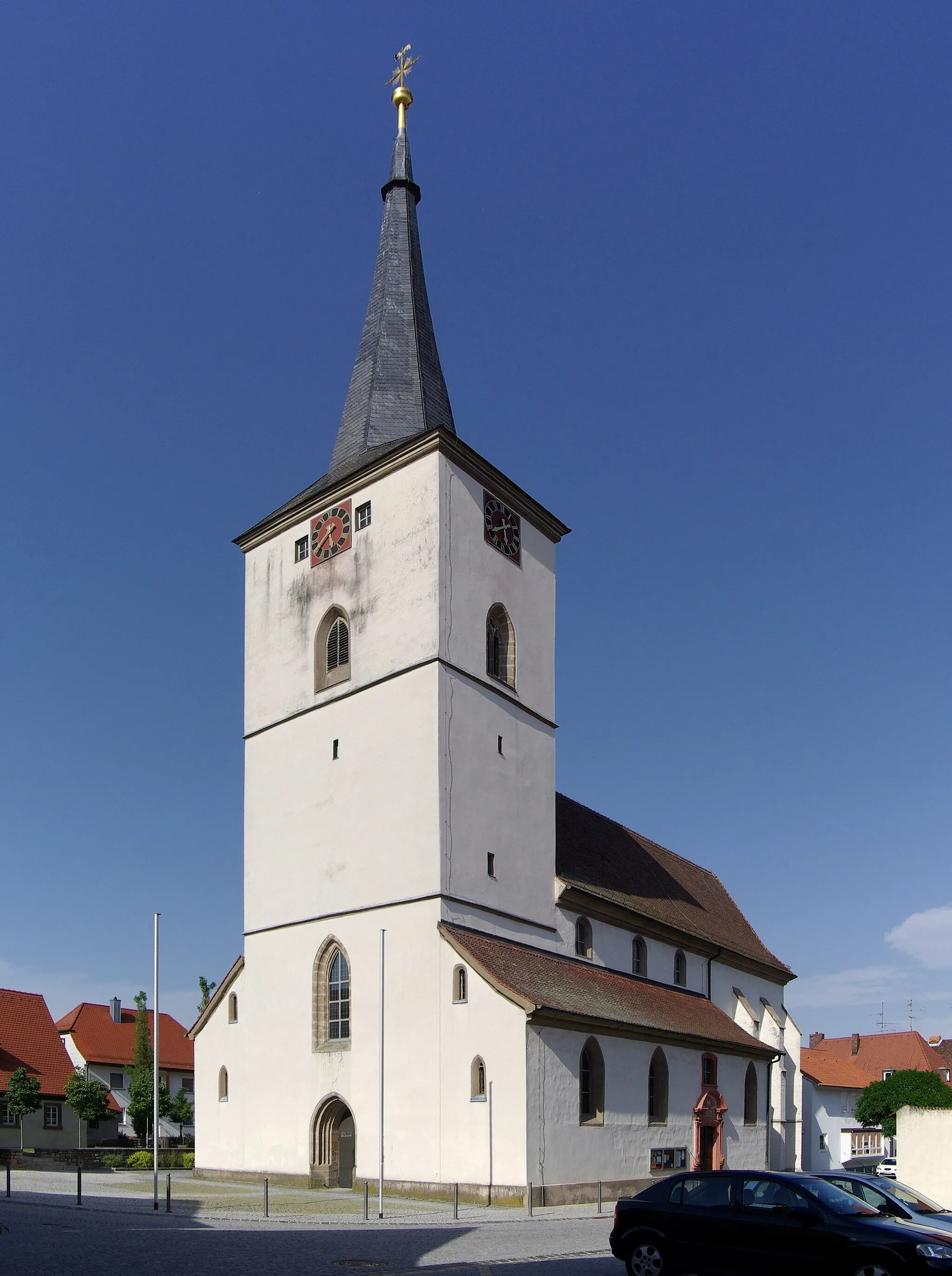
GeiselwindVillageFinish your gravel adventure in Geiselwind and celebrate your accomplishment with a hearty meal at one of the local restaurants.
37 km
37 km
Finish: Füttersee Village centerGeiselwind: Cycling through scenic landscapes in Unterfranken.
Cycling routes from Geiselwind:
Geiselwind to Circuit In the Franconian Bell Geiselwind to Discover the Franconian Countryside The Gravel Adventure through Franconia Gravel Exploration: Prühler Berg Adventure Geiselwind to Lisberg Challenge Geiselwind to Glösberg Gravel Loop Scenic Geiselwind Loop The Ultimate Unterfranken Challenge Geiselwind Gravel Adventure Geiselwind to Top Of The World Gravel Adventure Kloster Ebrach and Füttersee
Cycling routes nearby: