Discovering Münchsteinach
A gravel cycling route starting from Vestenbergsgreuth
Embark on an exciting gravel adventure in Münchsteinach
Map

For gravel enthusiasts seeking a thrilling outdoor adventure, this route in Münchsteinach is not to be missed. With a distance of 52 km and a challenging ascent of 668 meters, this ride offers a mix of rugged terrain, scenic landscapes, and cultural highlights. The off-road sections provide an exhilarating experience, while the charming town of Münchsteinach awaits with its distinctive architecture and welcoming atmosphere. Other highlights include the picturesque Langenfeld, the panoramic views from Grubsberg, the serene Leerberg, and the picturesque town of Scheinfeld. With an overall difficulty rating of 3, this route is suitable for well-trained amateur cyclists looking for a memorable gravel adventure.
gravel
52 km
668 m
Tough
Route profile
Highlights on the route
0 km
0 km
Start: Oberwinterbach Village centerVestenbergsgreuth: Meander through the picturesque Franconian countryside.
Vestenbergsgreuth is a locality located in Mittelfranken, Germany. From a cyclist's perspective, Vestenbergsgreuth offers scenic routes through the Franconian countryside. Cyclists can enjoy picturesque landscapes with rolling hills and quaint villages. The region is renowned for its well-maintained roads and bike paths, making it safe and enjoyable for riders of all levels. Notably, the nearby vineyards of Franconia offer opportunities for wine tasting, allowing cyclists to relax and indulge in local delicacies after a rewarding ride. Vestenbergsgreuth is a cycling-friendly area that caters to the diverse interests of both local and visiting cyclists.10 km
10 km
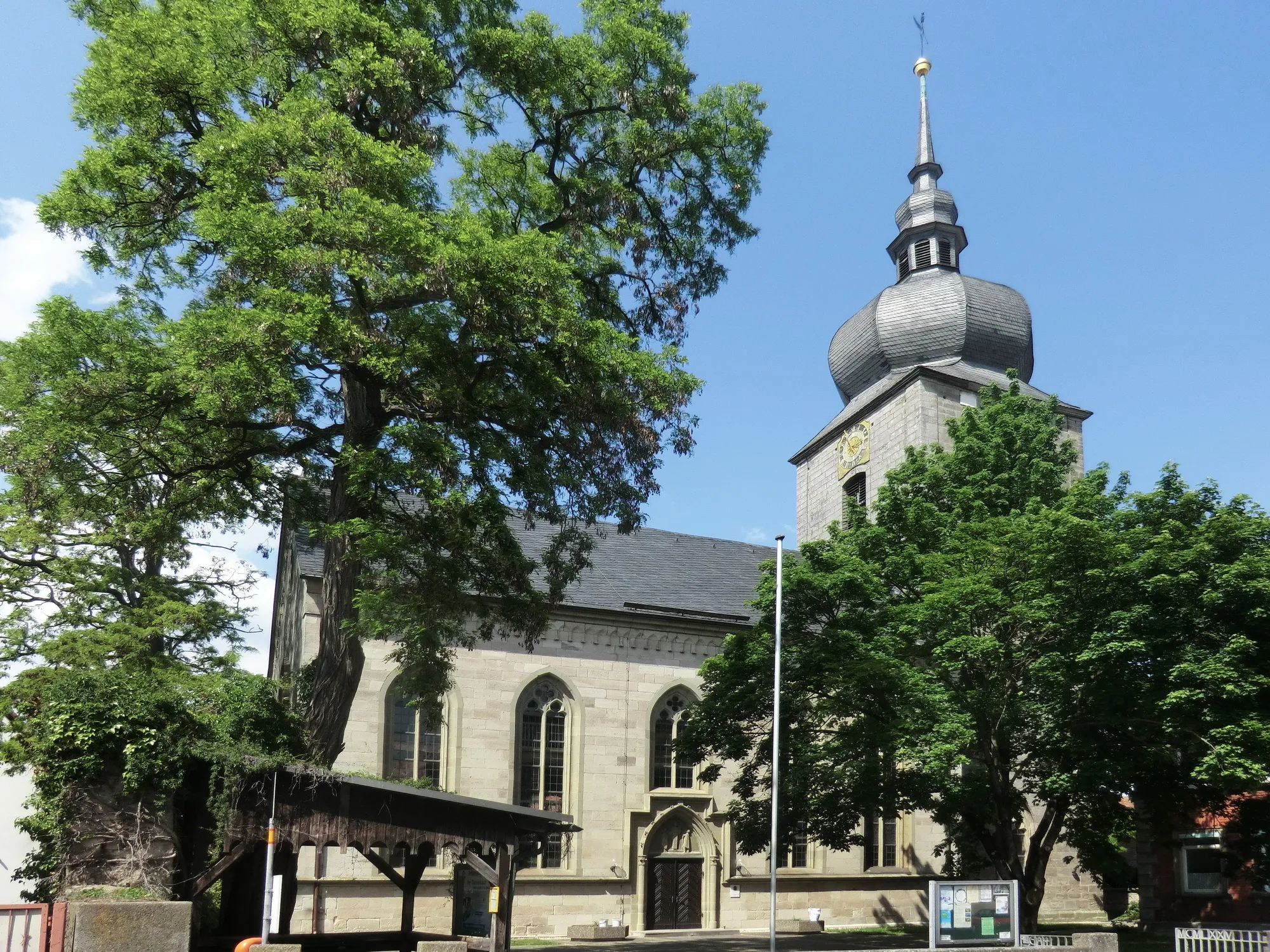
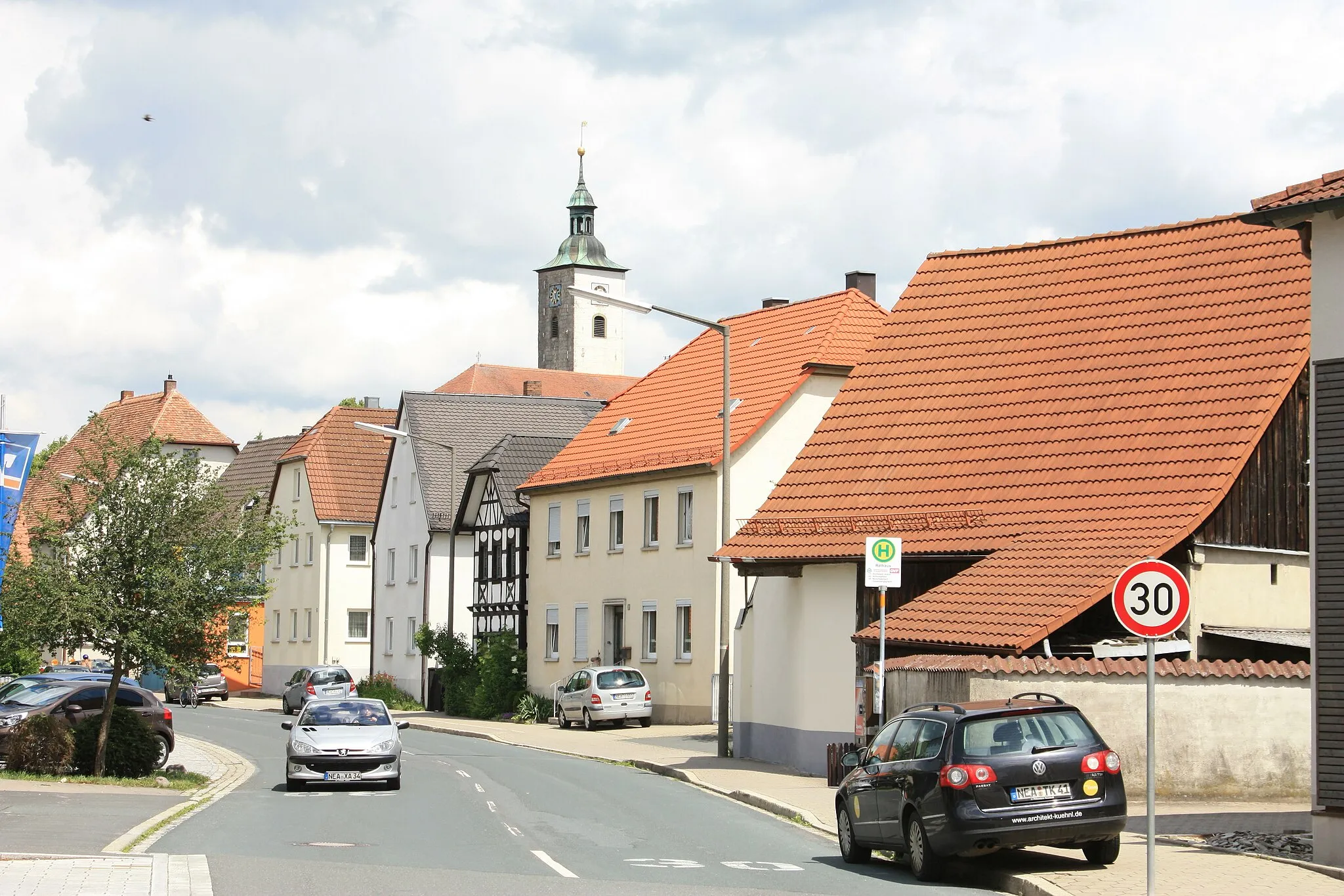
MünchsteinachVillageMünchsteinach is a quaint town known for its well-preserved timber-framed houses. Immerse yourself in the medieval atmosphere and explore the charming streets.
18 km
18 km
LangenfeldVillageLangenfeld offers breathtaking views of the surrounding countryside. Take a moment to enjoy the panoramic vistas and recharge amidst nature's beauty.
21 km
21 km
Grubsberg388 mPeakGrubsberg offers stunning panoramic views of the picturesque landscapes. Marvel at the natural beauty and soak in the tranquility from this vantage point.
30 km
30 km
Leerberg320 mPeakLeerberg is a peaceful spot surrounded by lush greenery and rolling hills. Take a break from your ride and enjoy the serene atmosphere.
34 km
34 km
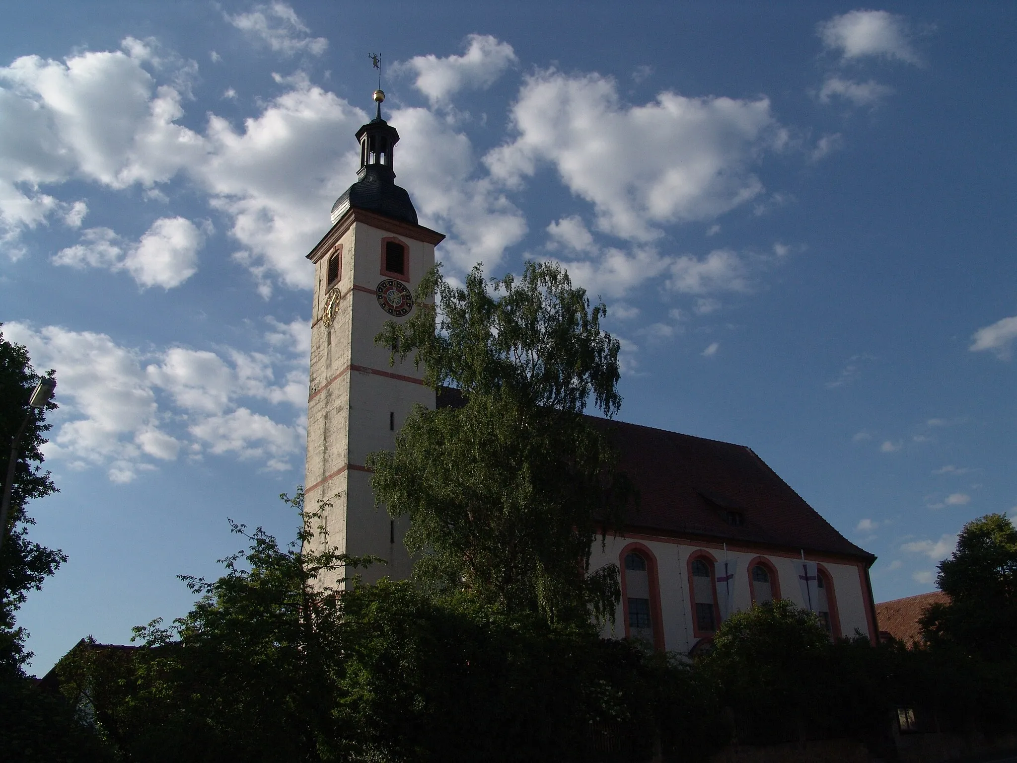
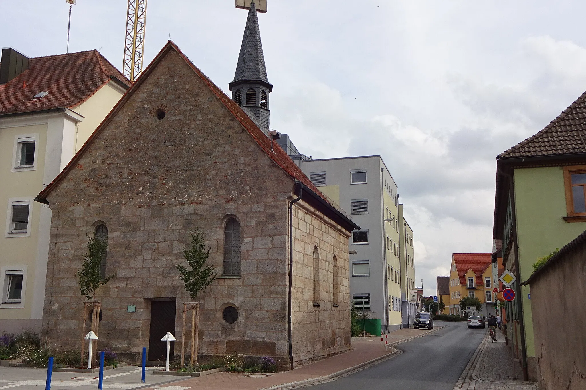
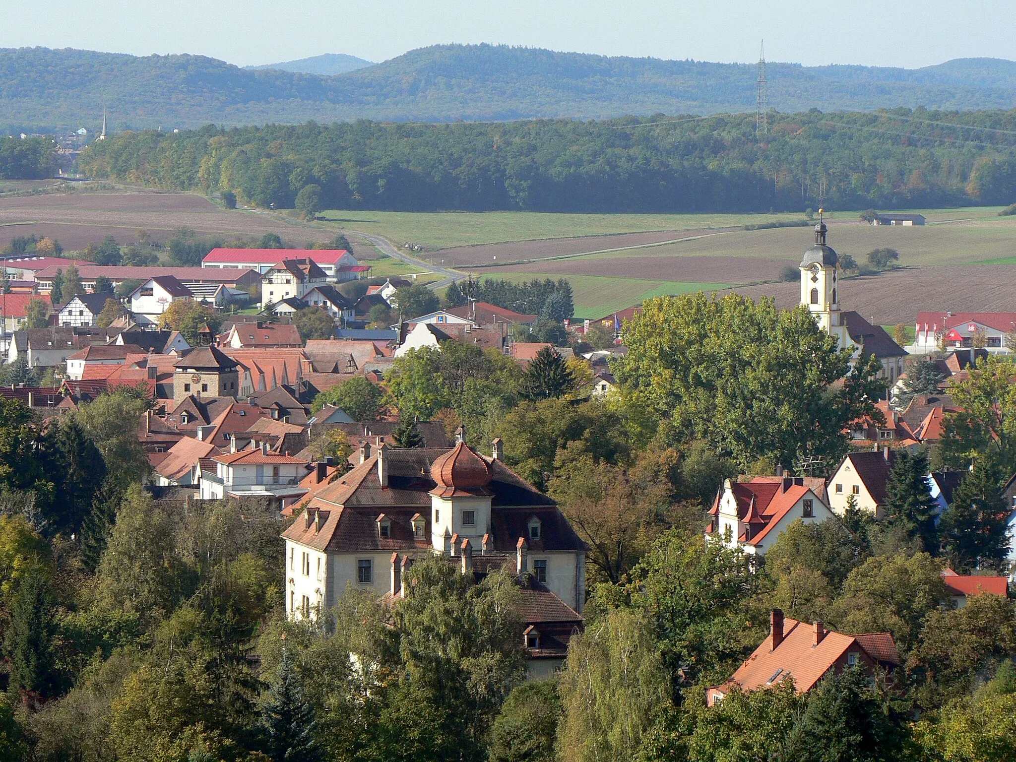
ScheinfeldTownScheinfeld is a charming town with a rich history. Immerse yourself in the local culture, explore the narrow streets, and admire the well-preserved architecture.
44 km
44 km
Markt TaschendorfVillageMarkt Taschendorf is a picturesque village known for its scenic landscapes and tranquil ambiance. Take a moment to appreciate the natural beauty and capture some memorable photographs.
49 km
49 km
Düllberg393 mPeakDüllberg is a hidden gem off the beaten path. With a beautiful chapel and panoramic views of the surrounding countryside, it's worth a stop to admire the beauty and embrace the serenity.
52 km
52 km
Finish: Oberwinterbach Village centerVestenbergsgreuth: Meander through the picturesque Franconian countryside.
Cycling routes from Vestenbergsgreuth:
Discover the Hillside Villages of Mittelfranken The Uehlfeld Adventure The Ultimate Gravel Adventure Scenic Loop from Gutenstetten to Vestenbergsgreuth The Charm of Gravel Cycling Roßkopf to Horn Road Cycling Adventure Discovering Münchsteinach Road Cycling Haven Gutenstetten to Markt Taschendorf Loop Gravel Adventure: Exploring Mittelfranken's Nature
Cycling routes nearby: