Road Route 1
A road cycling route starting from Uehlfeld
A challenging road ride with stunning views
Map
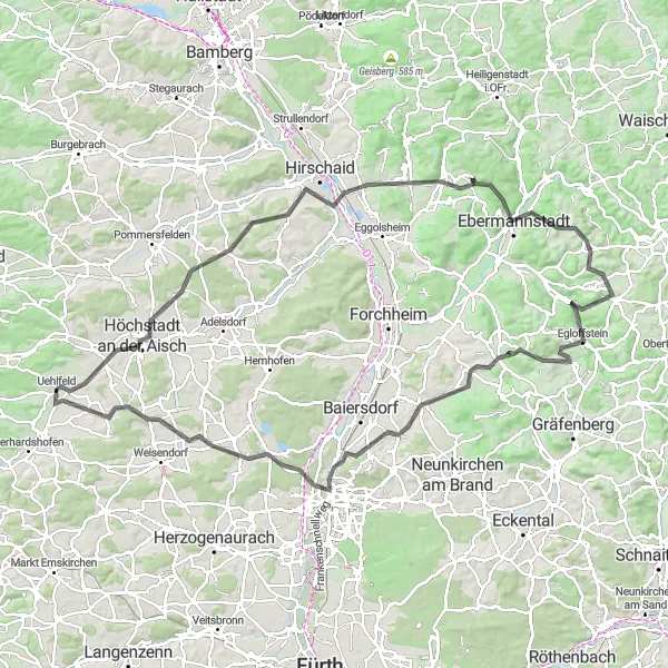
This scenic road route starting near Uehlfeld takes you through picturesque landscapes and charming villages. With a total of 1,397 meters of ascent over a distance of 120 kilometers, it offers a good challenge for well-trained amateur cyclists. The route passes through highlights such as the Lauberberg, Höchstadt an der Aisch, Altendorf, Ebermannstadt, and Almersberg. These places offer unique sights and interesting history, providing an enriching experience for riders. The difficulty of this route is rated 4 out of 5 due to the significant ascent, while its epicness is rated 3 out of 5 for its scenic beauty and cultural attractions.
road
120 km
1397 m
Tough
Route profile
Highlights on the route
0 km
0 km
Start: Uehlfeld Village centerUehlfeld: Charming locality with picturesque countryside routes and annual cycling festival.
Uehlfeld is a locality located in Mittelfranken, Germany. Cycling in Uehlfeld is a pleasant experience, with numerous well-marked cycling paths and quiet country roads to explore. The surrounding region boasts beautiful countryside scenery, dotted with charming villages and historical landmarks. Road cyclists and gravel cyclists will find suitable routes for all levels of difficulty. Uehlfeld is also known for hosting the annual Schneider Bike Festival, attracting cycling enthusiasts from all over the region. Overall, Uehlfeld provides a welcoming atmosphere for cyclists and offers a wealth of opportunities to explore the scenic surroundings on two wheels.2 km
2 km
Lauberberg308 mPeakThe Lauberberg offers breathtaking panoramic views of the surrounding countryside.
8 km
8 km
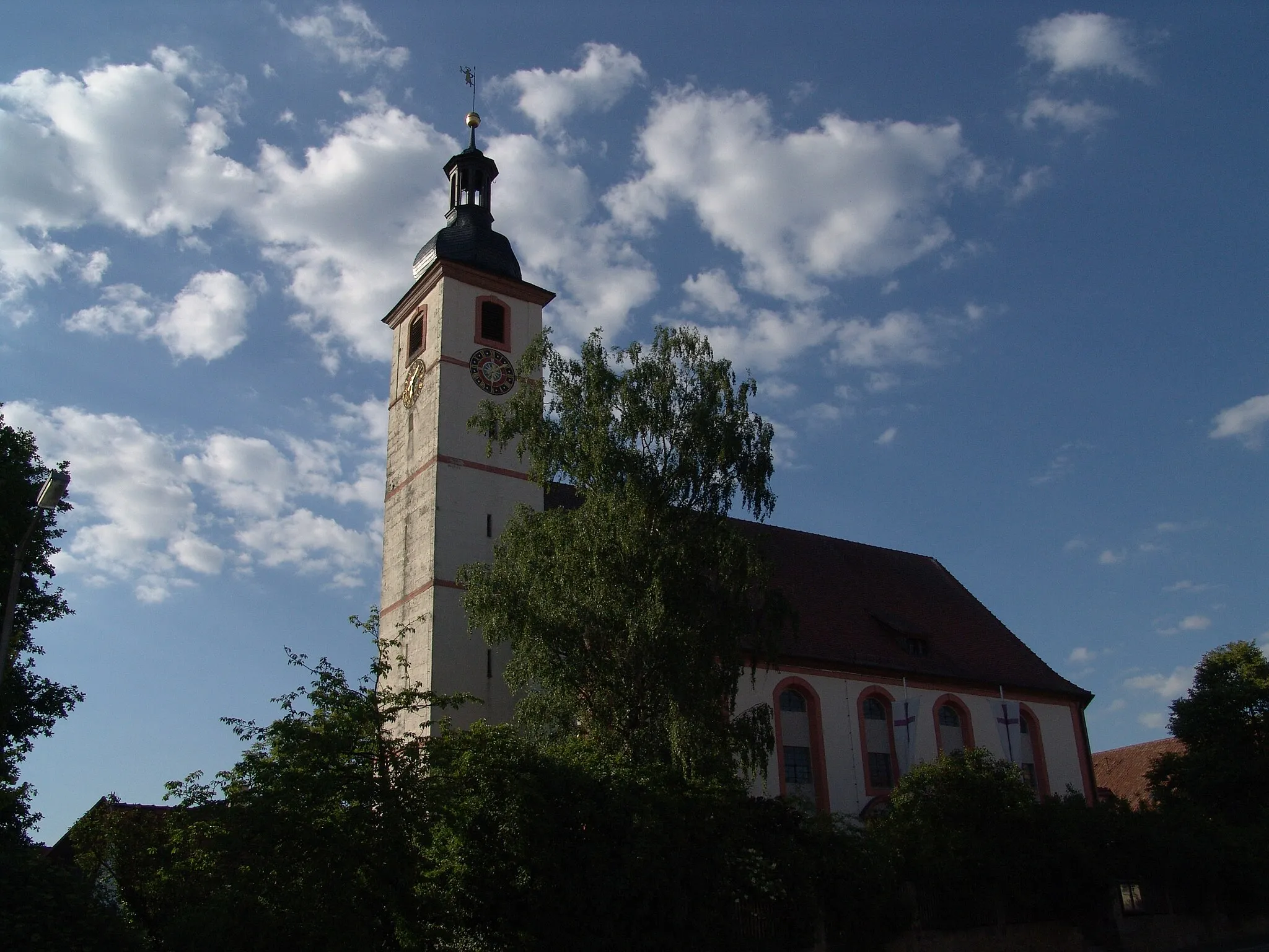
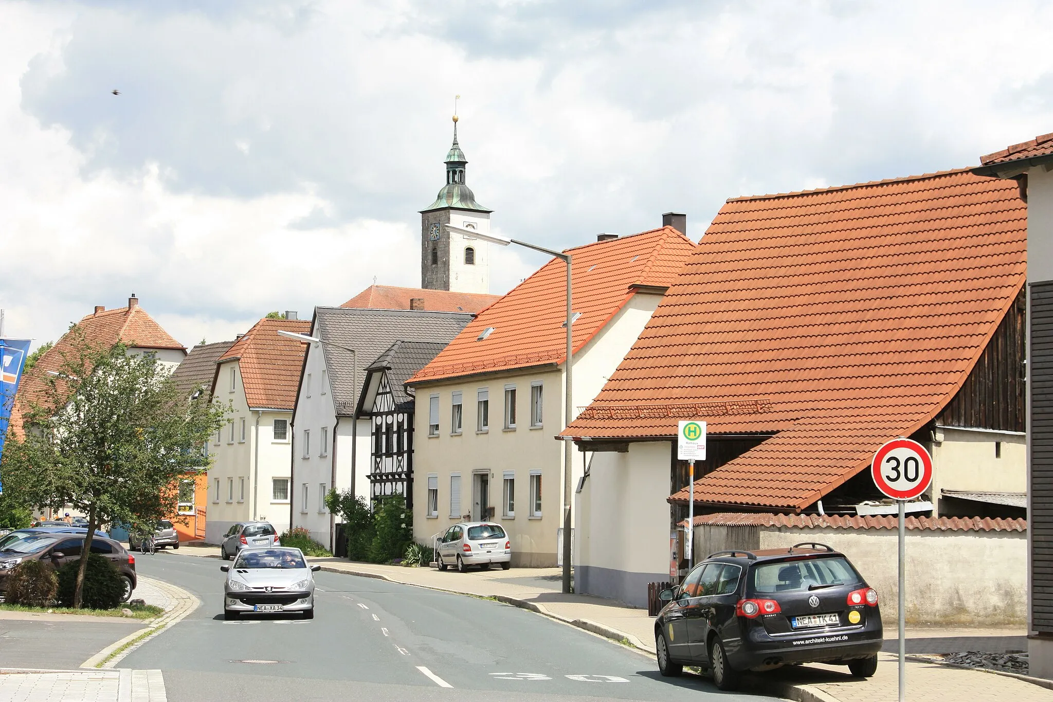
Höchstadt an der AischTownHöchstadt an der Aisch is a charming town with a rich history and beautiful architecture.
30 km
30 km
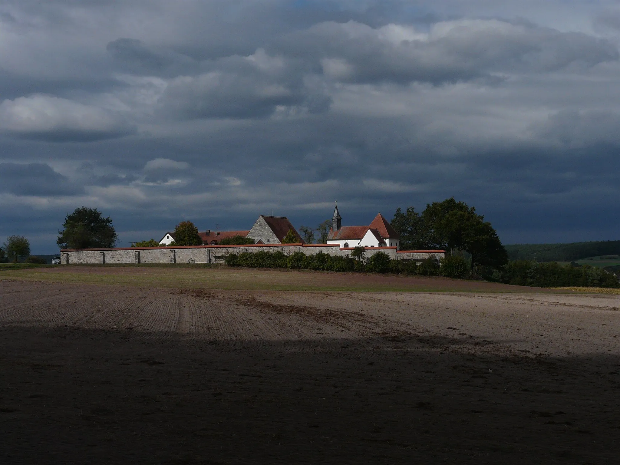
AltendorfVillageAltendorf is known for its traditional Franconian half-timbered houses and idyllic countryside.
33 km
33 km
Eggenberg326 mPeakEggenberg features a historic castle and expansive gardens, perfect for a relaxing break.
47 km
47 km
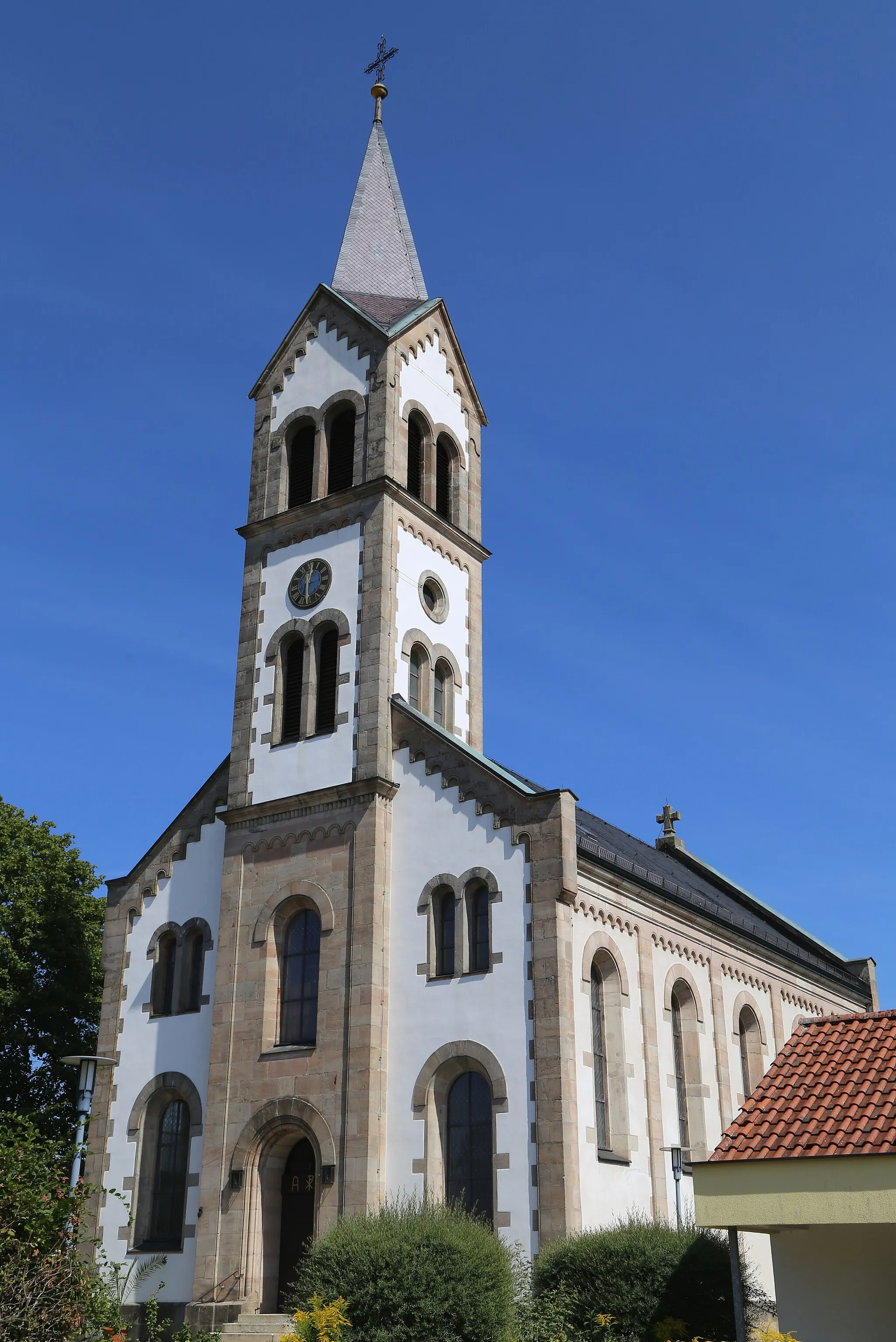
EbermannstadtTownEbermannstadt is a picturesque town nestled in a valley, surrounded by lush green hills.
57 km
57 km
Almersberg526 mPeakAlmersberg offers stunning views of rolling hills and vineyards, creating a romantic atmosphere.
71 km
71 km
Burgstein560 mPeakBurgstein is an ancient castle ruin with remnants of medieval walls and towers.
78 km
78 km
KunreuthVillageKunreuth is a charming village with narrow streets and half-timbered houses, showcasing traditional Franconian architecture.
86 km
86 km
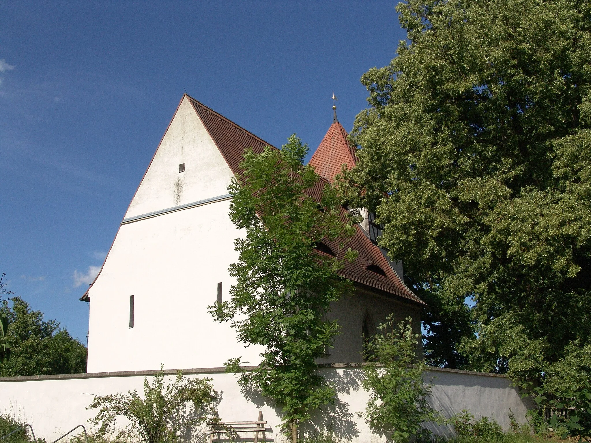
LangensendelbachVillageLangensendelbach is known for its beautiful medieval church and picturesque village center.
94 km
94 km
SkulpturengartenViewpointThe Skulpturengarten showcases an impressive collection of contemporary sculptures in a peaceful park setting.
102 km
102 km
HeßdorfVillageHeßdorf is a small town famous for its excellent beer, offering the opportunity to indulge in local culinary delights.
119 km
119 km
StorchennestViewpointStorchennest is a charming village where you can spot storks nesting on rooftops and in nearby fields.
120 km
120 km
Finish: Uehlfeld Village centerUehlfeld: Charming locality with picturesque countryside routes and annual cycling festival.
Cycling routes nearby: