Gravel Route 1
A gravel cycling route starting from Uehlfeld
An adventurous gravel ride with nature highlights
Map
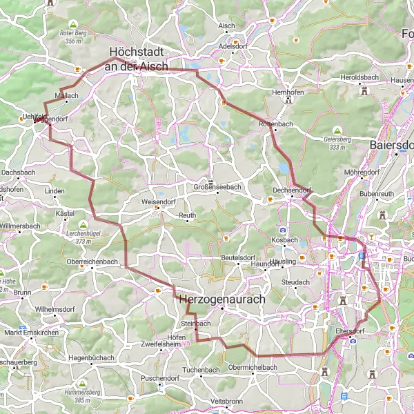
This gravel route starting near Uehlfeld takes cyclists on an adventurous journey through nature. With 475 meters of ascent over a distance of 72 kilometers, it is suitable for well-trained amateur cyclists. The highlights of this route include the Höchstadt-Blick, Vogelbeobachtungswand, and Hirtenberg. These spots offer unique opportunities for bird watching, breathtaking views, and rugged natural beauty. The route also passes through charming villages like Obermichelbach and Peppenhöchstädt, where riders can take a break and explore the local culture. The difficulty of this route is rated 2 out of 5 due to the moderate ascent, while its epicness is rated 3 out of 5 for its adventurous nature and scenic landscapes.
gravel
72 km
475 m
Chill
Route profile
Highlights on the route
0 km
0 km
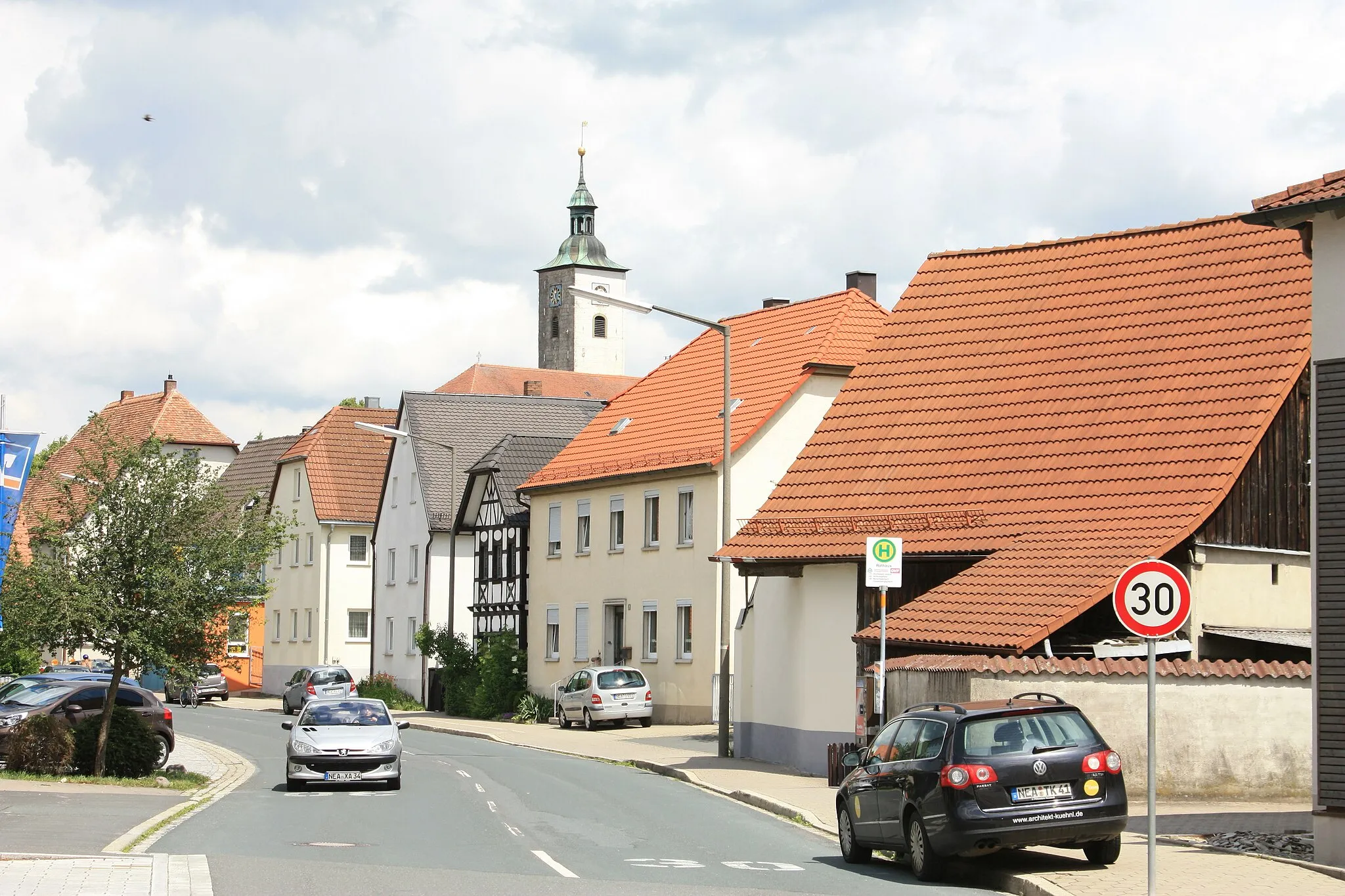
Start: Uehlfeld Village centerUehlfeld: Charming locality with picturesque countryside routes and annual cycling festival.
Uehlfeld is a locality located in Mittelfranken, Germany. Cycling in Uehlfeld is a pleasant experience, with numerous well-marked cycling paths and quiet country roads to explore. The surrounding region boasts beautiful countryside scenery, dotted with charming villages and historical landmarks. Road cyclists and gravel cyclists will find suitable routes for all levels of difficulty. Uehlfeld is also known for hosting the annual Schneider Bike Festival, attracting cycling enthusiasts from all over the region. Overall, Uehlfeld provides a welcoming atmosphere for cyclists and offers a wealth of opportunities to explore the scenic surroundings on two wheels.4 km
4 km
Höchstadt-BlickViewpointThe Höchstadt-Blick offers a stunning panoramic view of the surrounding countryside, ideal for nature enthusiasts.
9 km
9 km
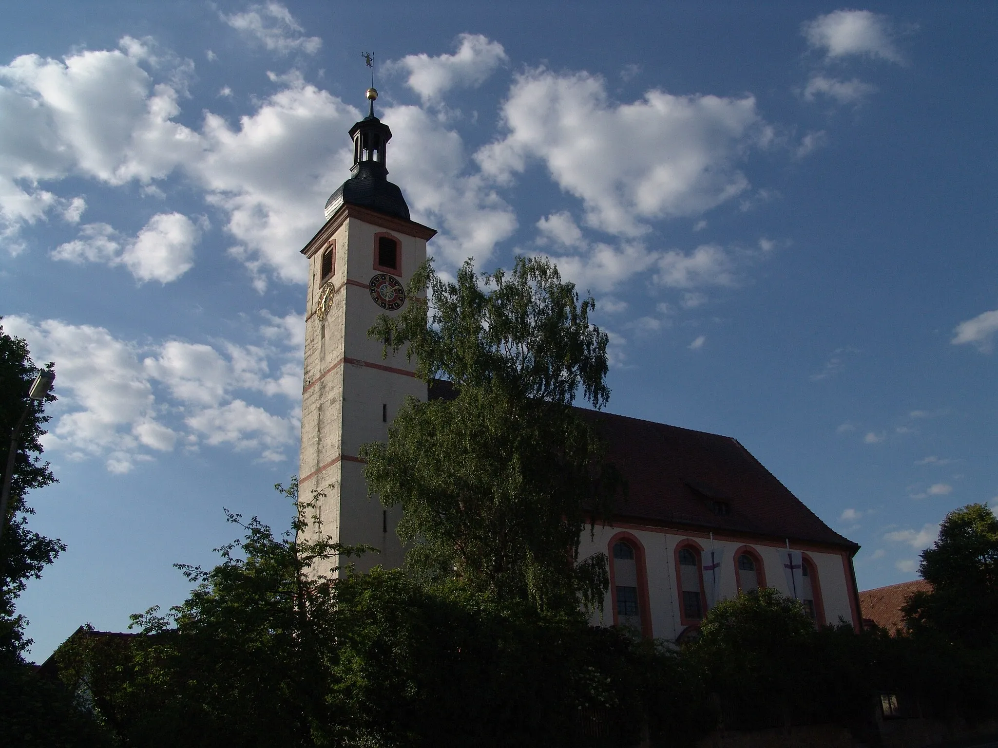
Höchstadt an der AischTownHöchstadt an der Aisch is a charming town with beautiful architecture and a rich historical background.
24 km
24 km
VogelbeobachtungswandViewpointThe Vogelbeobachtungswand is a bird observation wall, providing a unique opportunity to spot various bird species in their natural habitat.
33 km
33 km
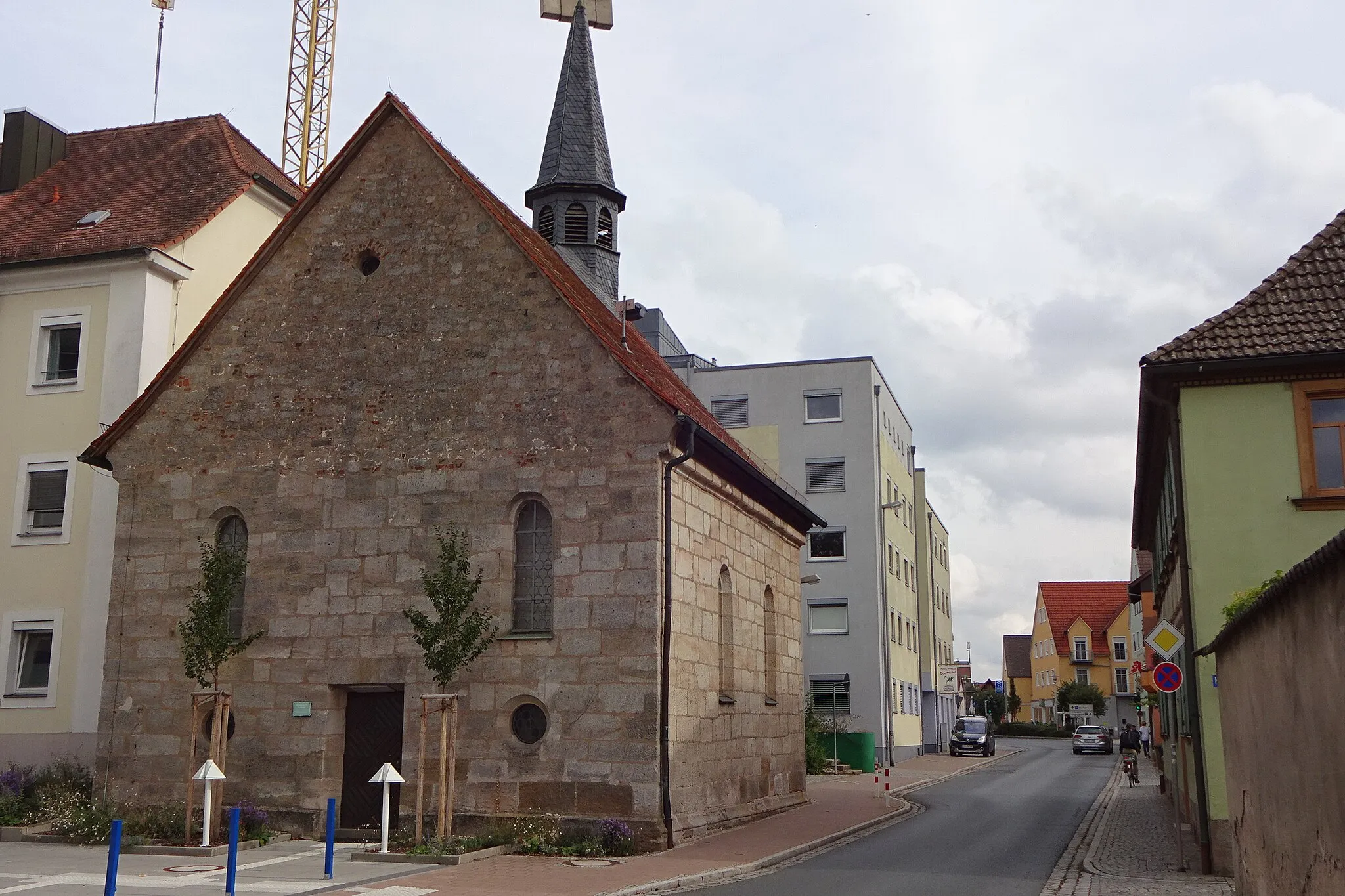
ErlangenCityErlangen is a vibrant university town known for its cultural diversity and lively atmosphere.
46 km
46 km
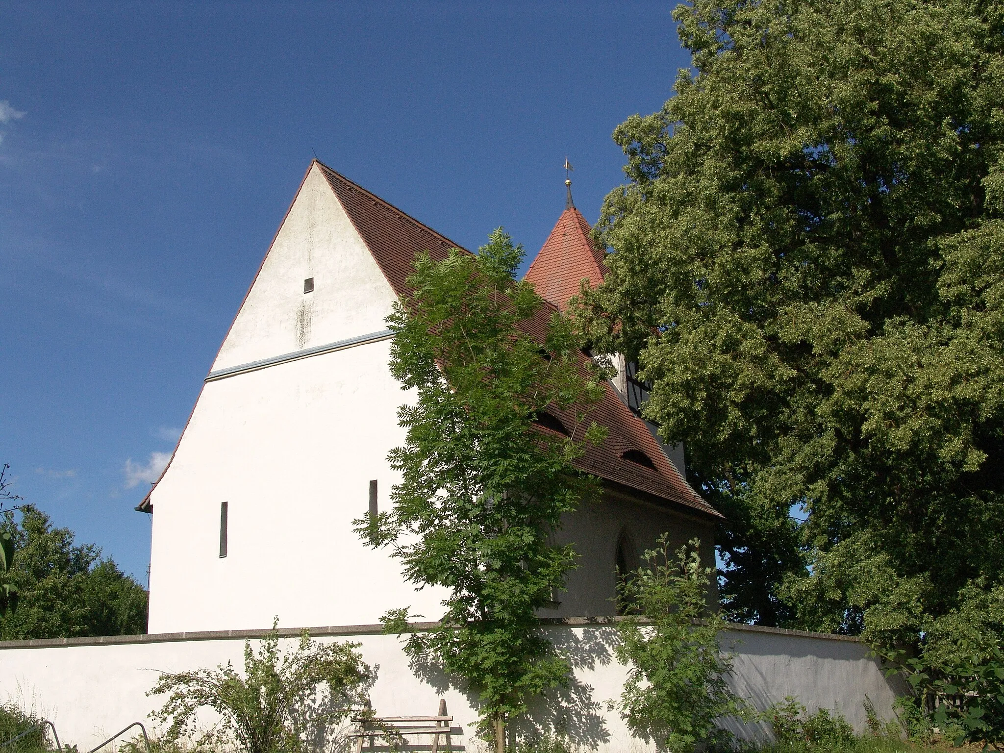
ObermichelbachVillageObermichelbach is a quaint village surrounded by picturesque landscapes, offering a peaceful and idyllic setting.
58 km
58 km
Hirtenberg344 mPeakHirtenberg is a hidden gem with breathtaking views and a tranquil atmosphere, perfect for a picnic stop.
69 km
69 km
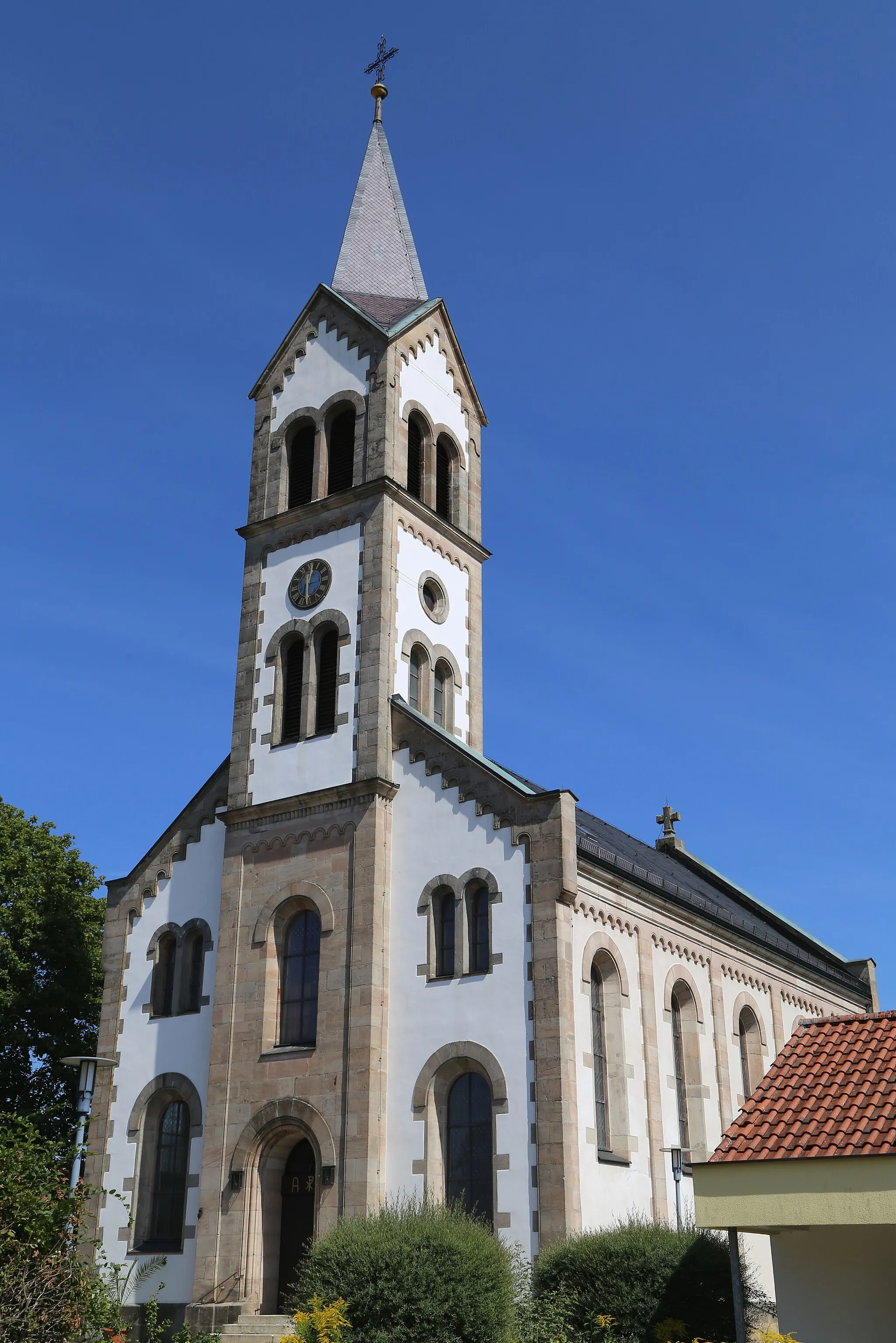
PeppenhöchstädtVillagePeppenhöchstädt is a small village surrounded by lush forests and rolling hills, providing a peaceful and natural escape.
72 km
72 km
Finish: Uehlfeld Village centerUehlfeld: Charming locality with picturesque countryside routes and annual cycling festival.
Cycling routes nearby: