Gravel Route 2
A gravel cycling route starting from Uehlfeld
A short but challenging gravel ride through hilly terrain
Map
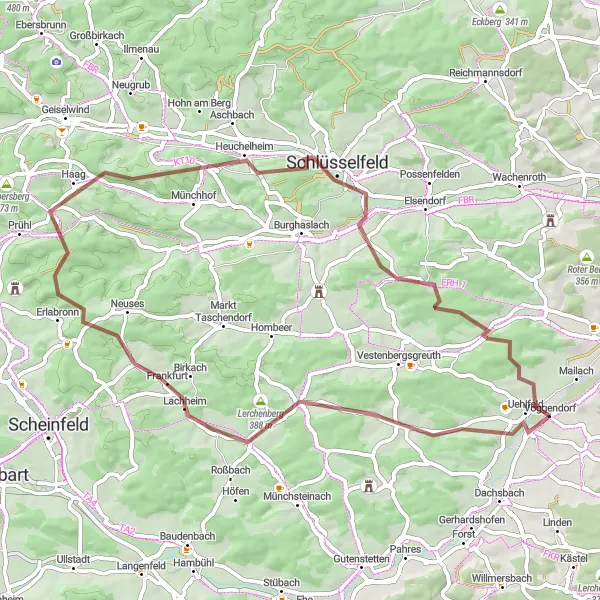
This challenging gravel route starting near Uehlfeld offers a thrilling adventure to cycling enthusiasts. With 689 meters of ascent over a distance of 57 kilometers, it is ideal for experienced amateur riders. The highlights of this route include Tragelhöchstädt, Prühler Berg and Uehlfeld. These spots showcase stunning natural scenery, including hills and forests. The route also passes through Lerchenberg, Schlüsselfeld, and other charming villages with unique local character. The difficulty of this route is rated 3 out of 5 due to the significant but manageable ascent, while its epicness is rated 2 out of 5 for its scenic beauty and challenging terrain.
gravel
57 km
689 m
Tough
Route profile
Highlights on the route
0 km
0 km
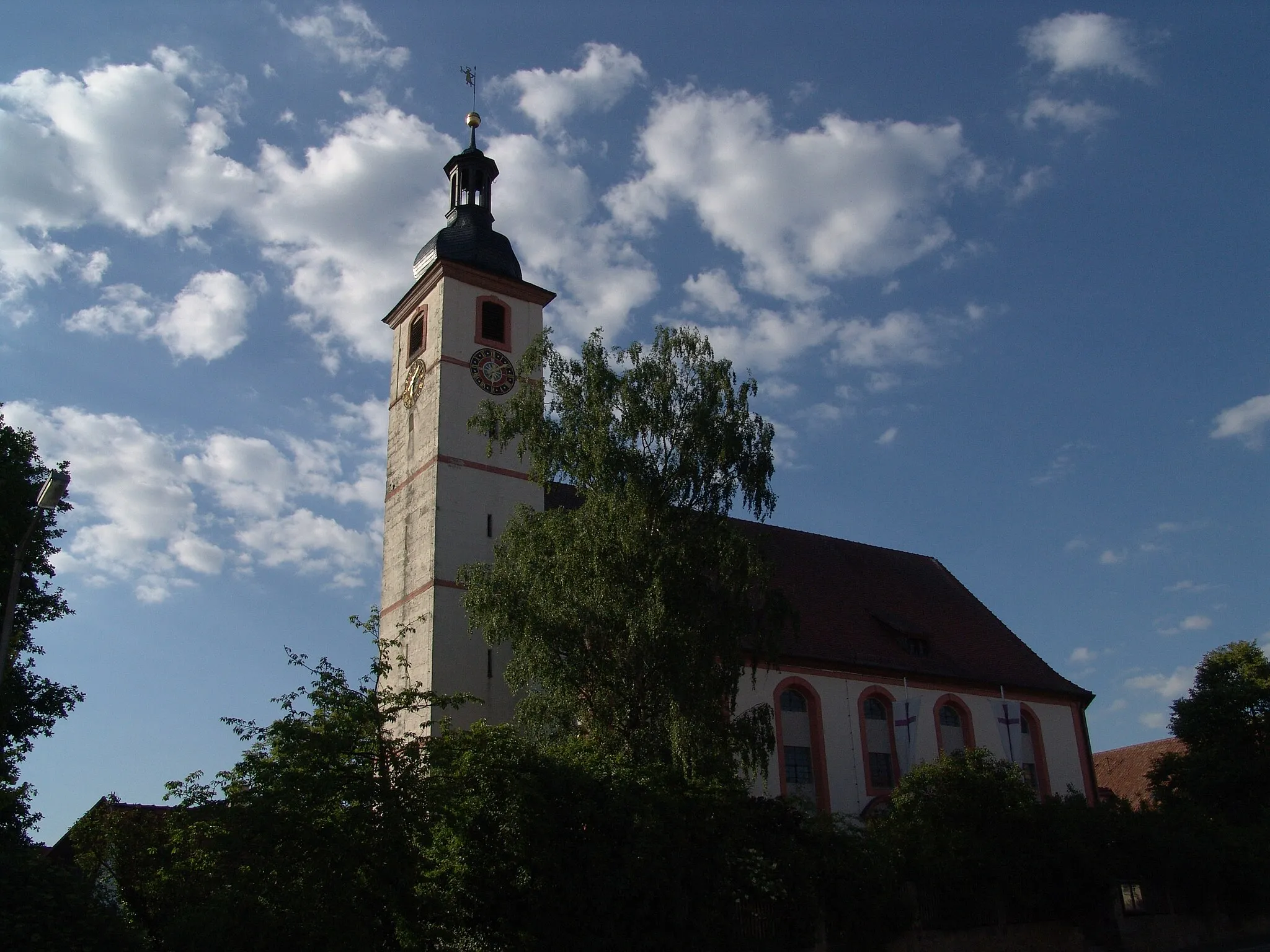
Start: Voggendorf Village centerUehlfeld: Charming locality with picturesque countryside routes and annual cycling festival.
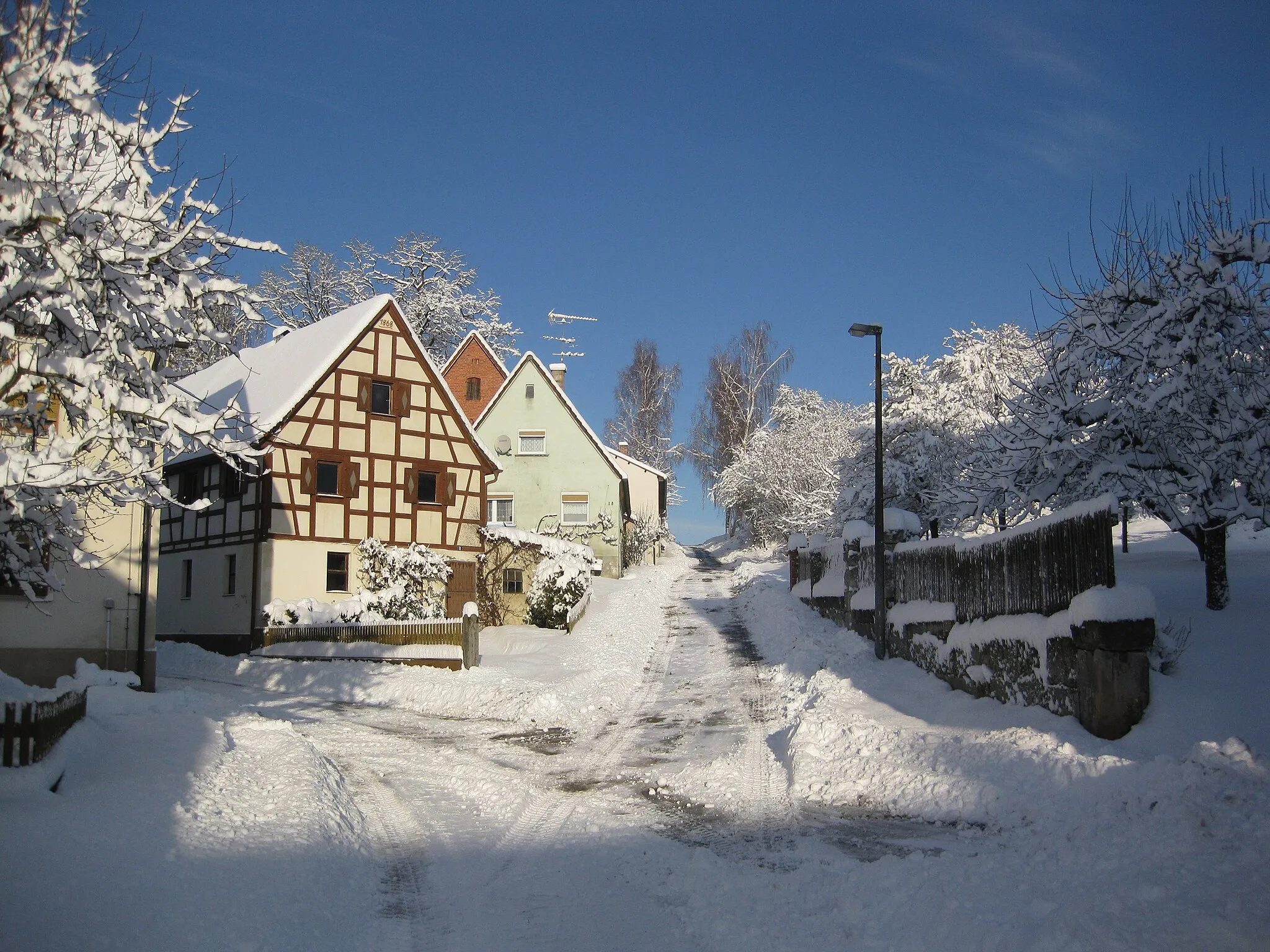
Uehlfeld is a locality located in Mittelfranken, Germany. Cycling in Uehlfeld is a pleasant experience, with numerous well-marked cycling paths and quiet country roads to explore. The surrounding region boasts beautiful countryside scenery, dotted with charming villages and historical landmarks. Road cyclists and gravel cyclists will find suitable routes for all levels of difficulty. Uehlfeld is also known for hosting the annual Schneider Bike Festival, attracting cycling enthusiasts from all over the region. Overall, Uehlfeld provides a welcoming atmosphere for cyclists and offers a wealth of opportunities to explore the scenic surroundings on two wheels.4 km
4 km
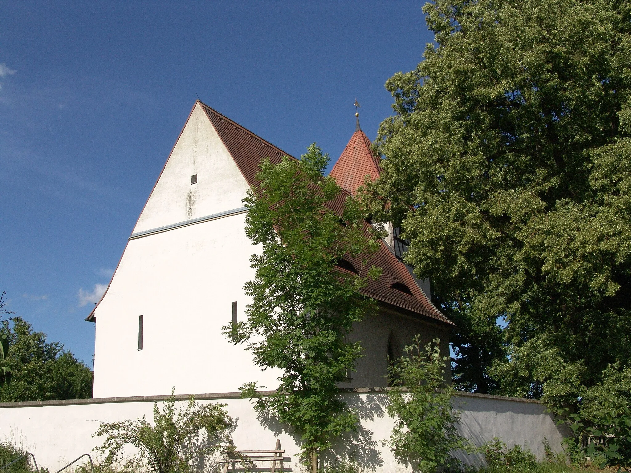
TragelhöchstädtVillageTragelhöchstädt is a hilly area offering stunning views, with challenging climbs that reward experienced riders.
12 km
12 km
Lerchenberg388 mPeakLerchenberg features rolling hills and beautiful landscapes, making it a favorite among cyclists.
27 km
27 km
Prühler Berg436 mPeakPrühler Berg offers a challenging ascent and rewards riders with breathtaking views of the surrounding countryside.
40 km
40 km
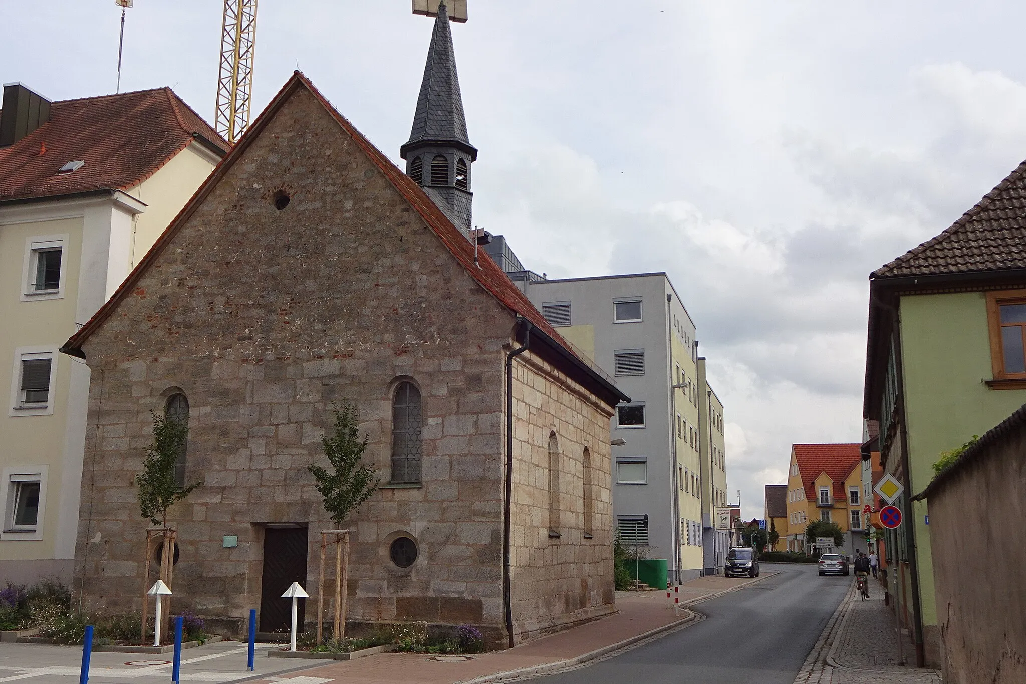
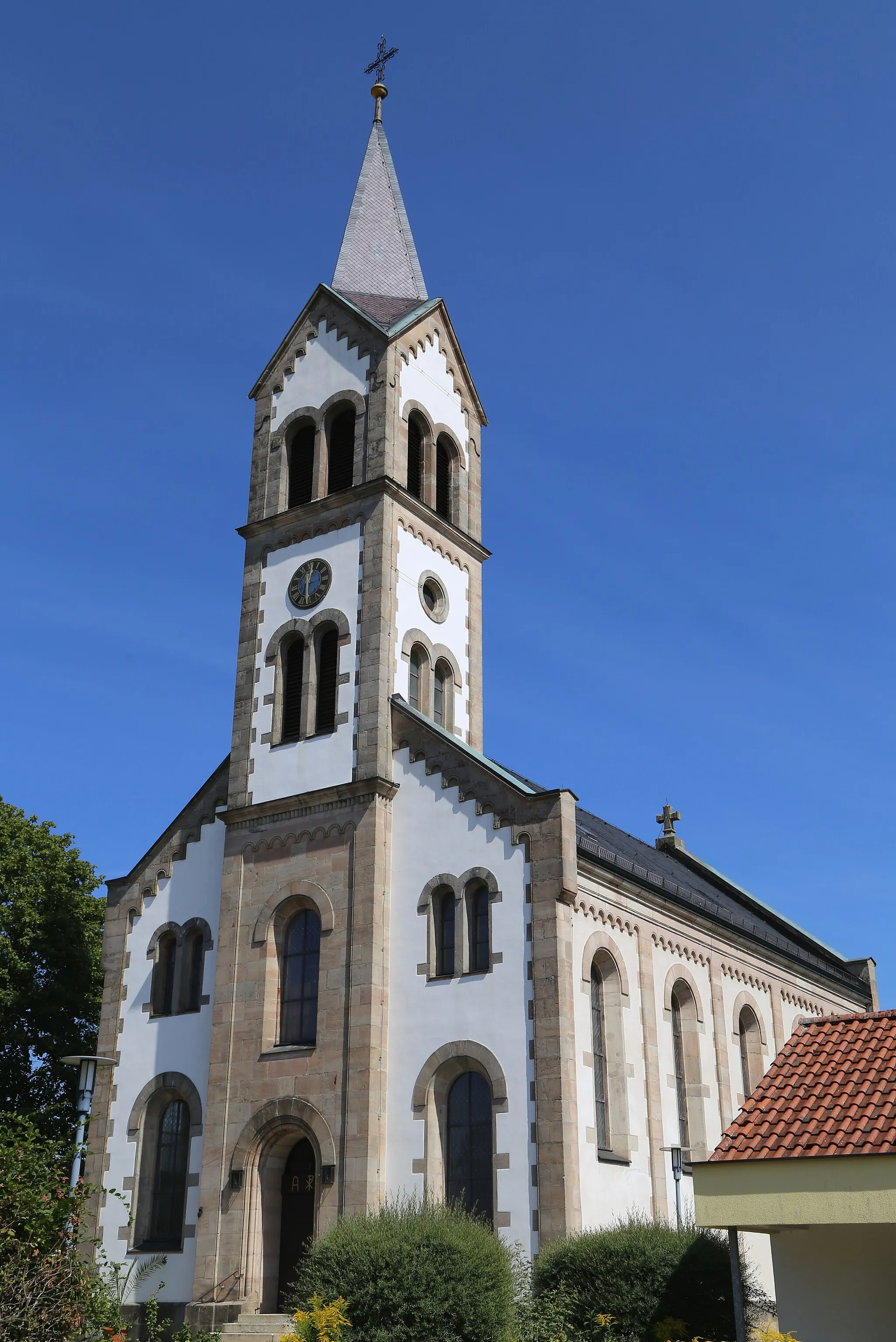
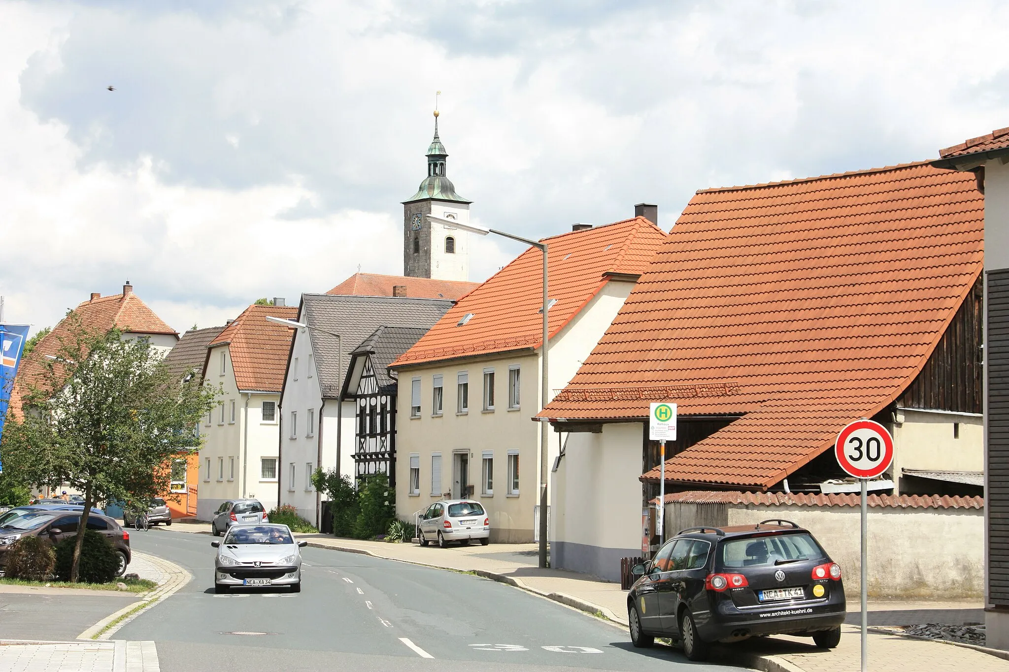
SchlüsselfeldTownSchlüsselfeld is a picturesque town known for its historic buildings and tranquil atmosphere.
56 km
56 km
UehlfeldVillageUehlfeld is the starting point of the route and serves as the gateway to beautiful hilly landscapes and forests.
57 km
57 km
Finish: Voggendorf Village centerUehlfeld: Charming locality with picturesque countryside routes and annual cycling festival.
Cycling routes nearby: