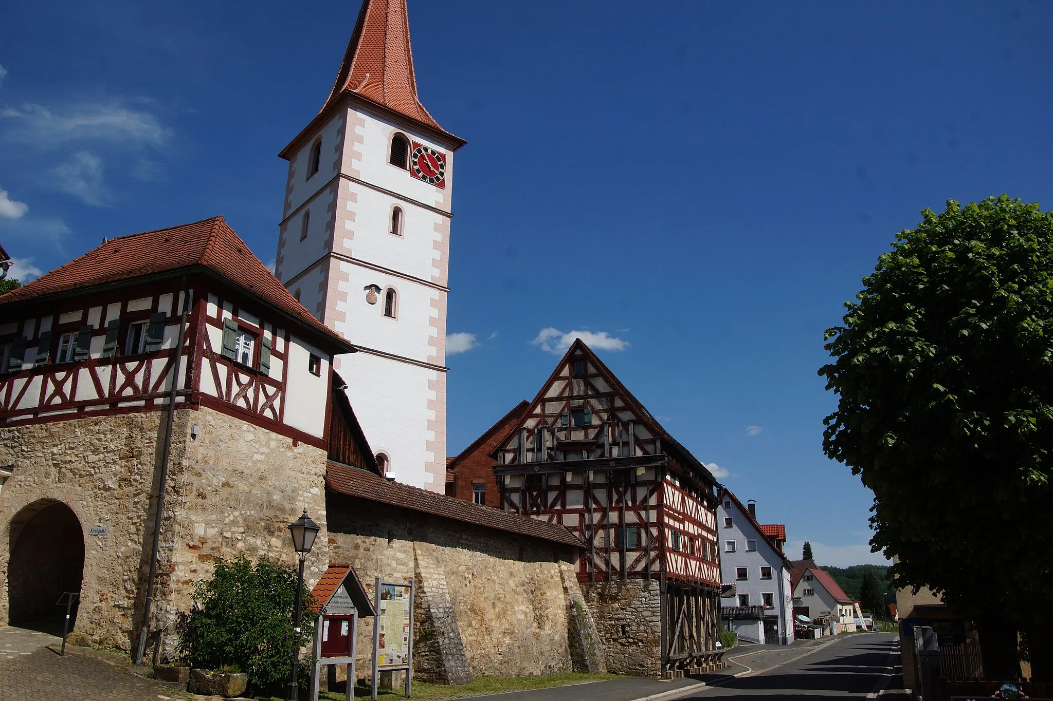
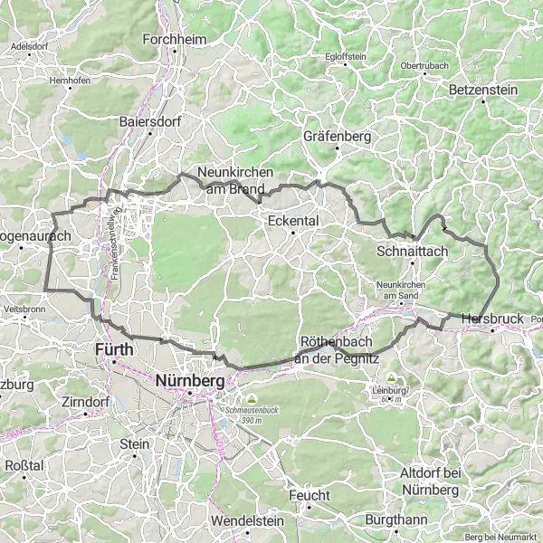
Embark on an unforgettable cycling adventure in Kirchensittenbach
Cycling routes from Kirchensittenbach
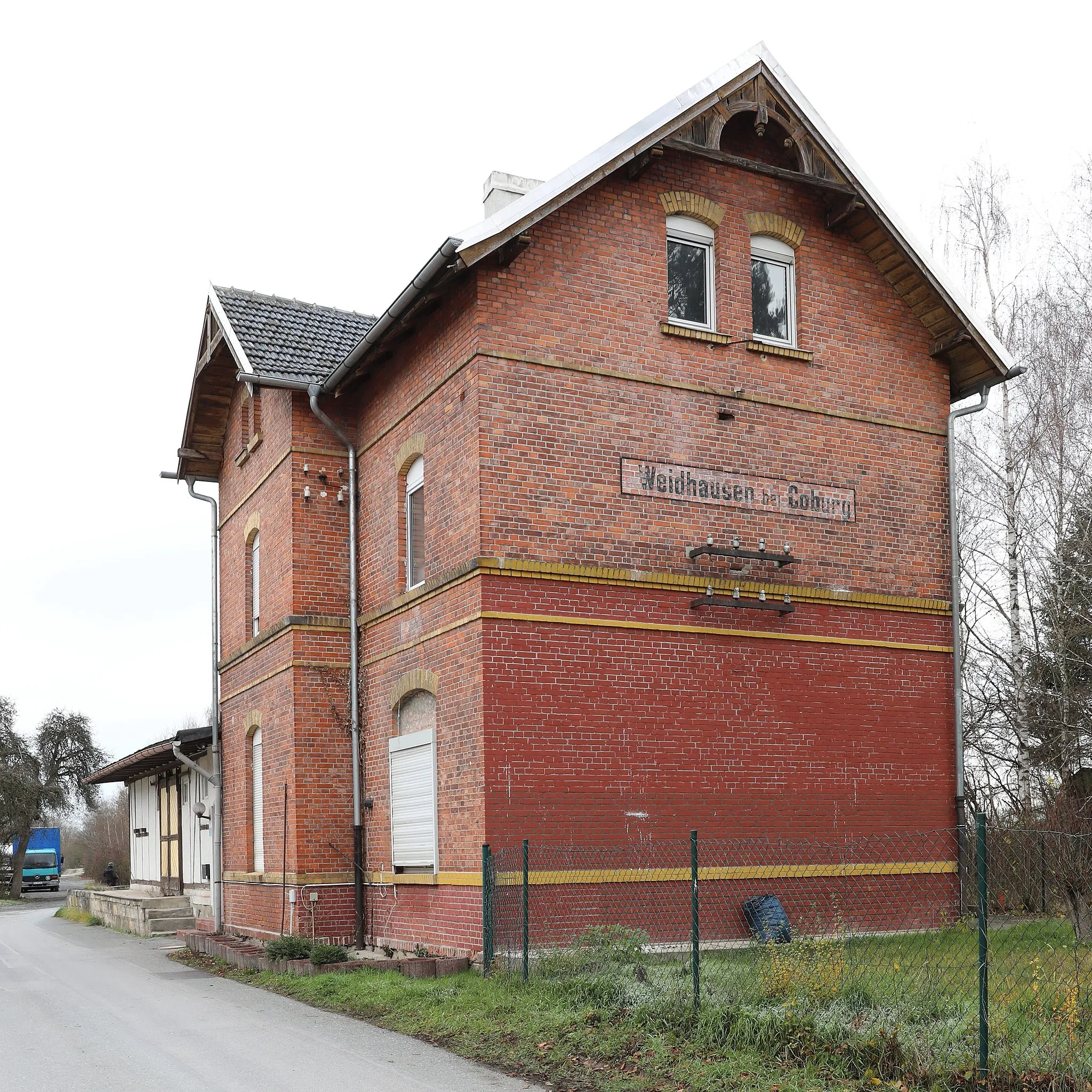
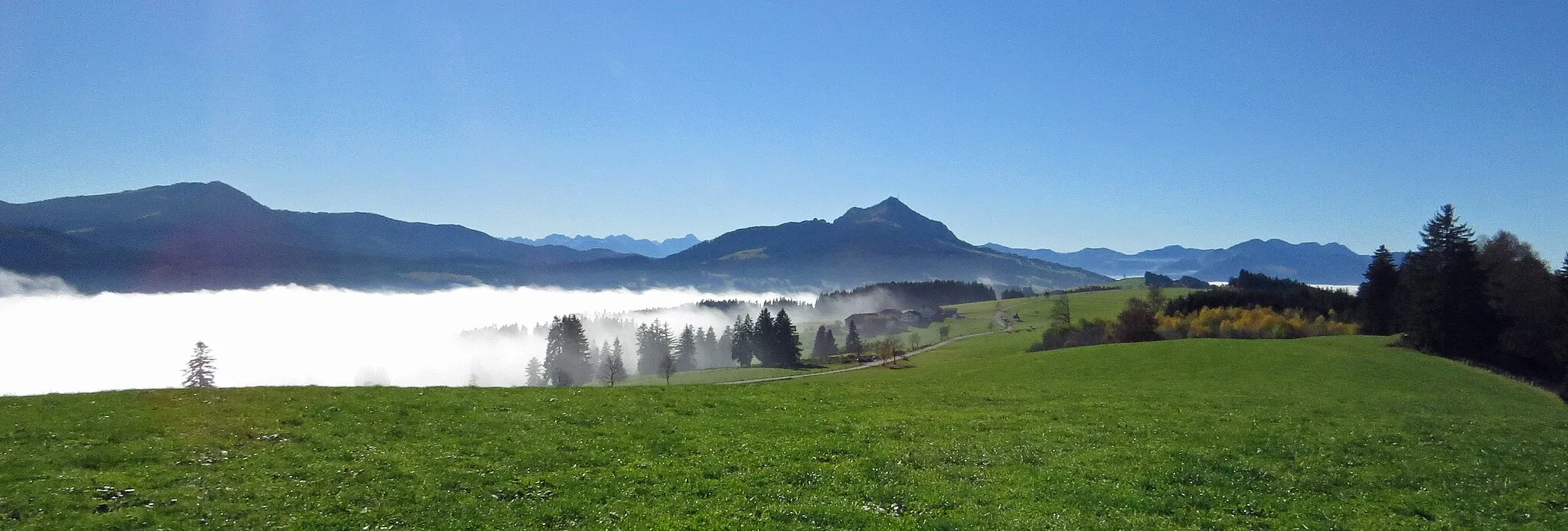
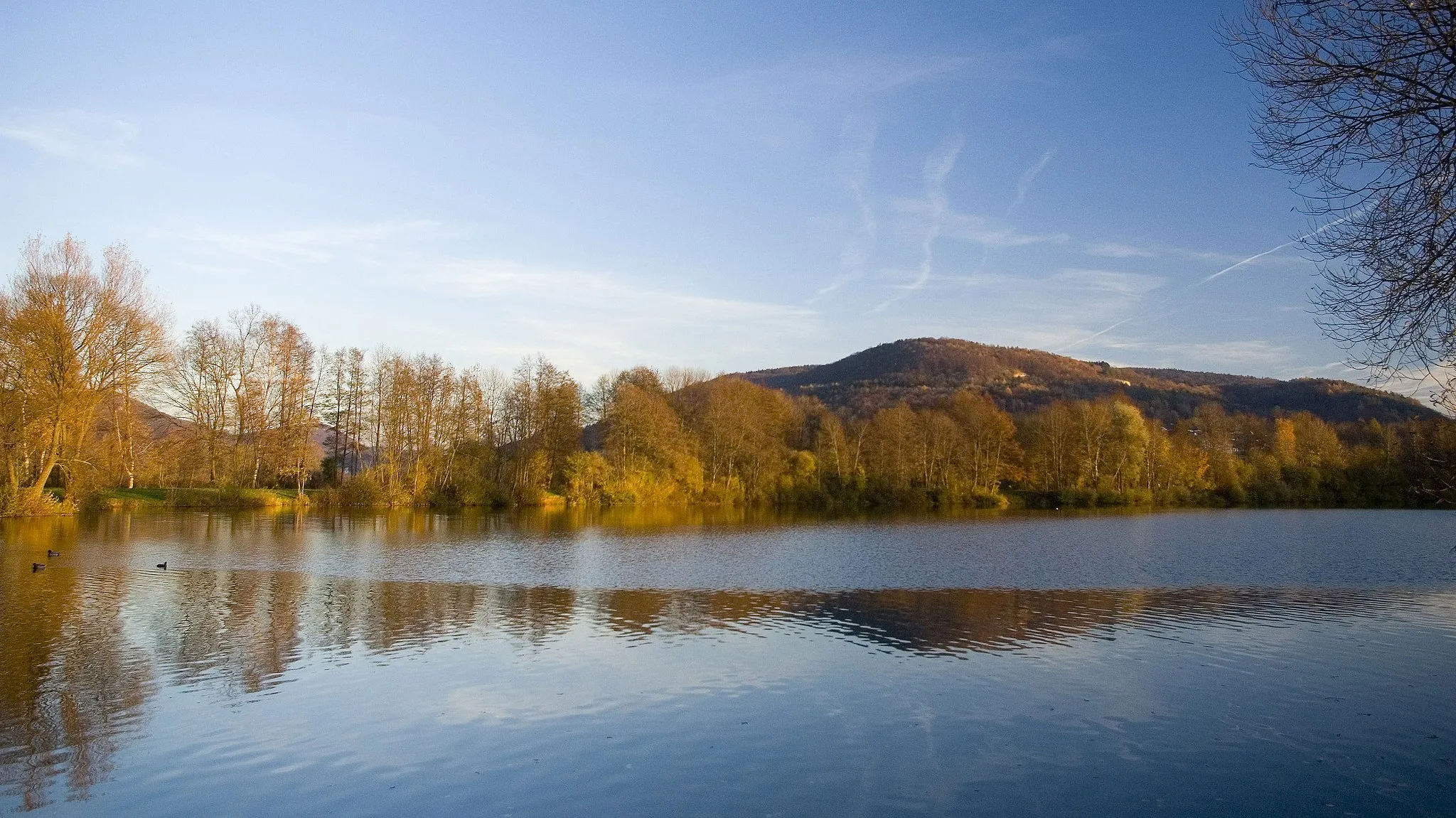
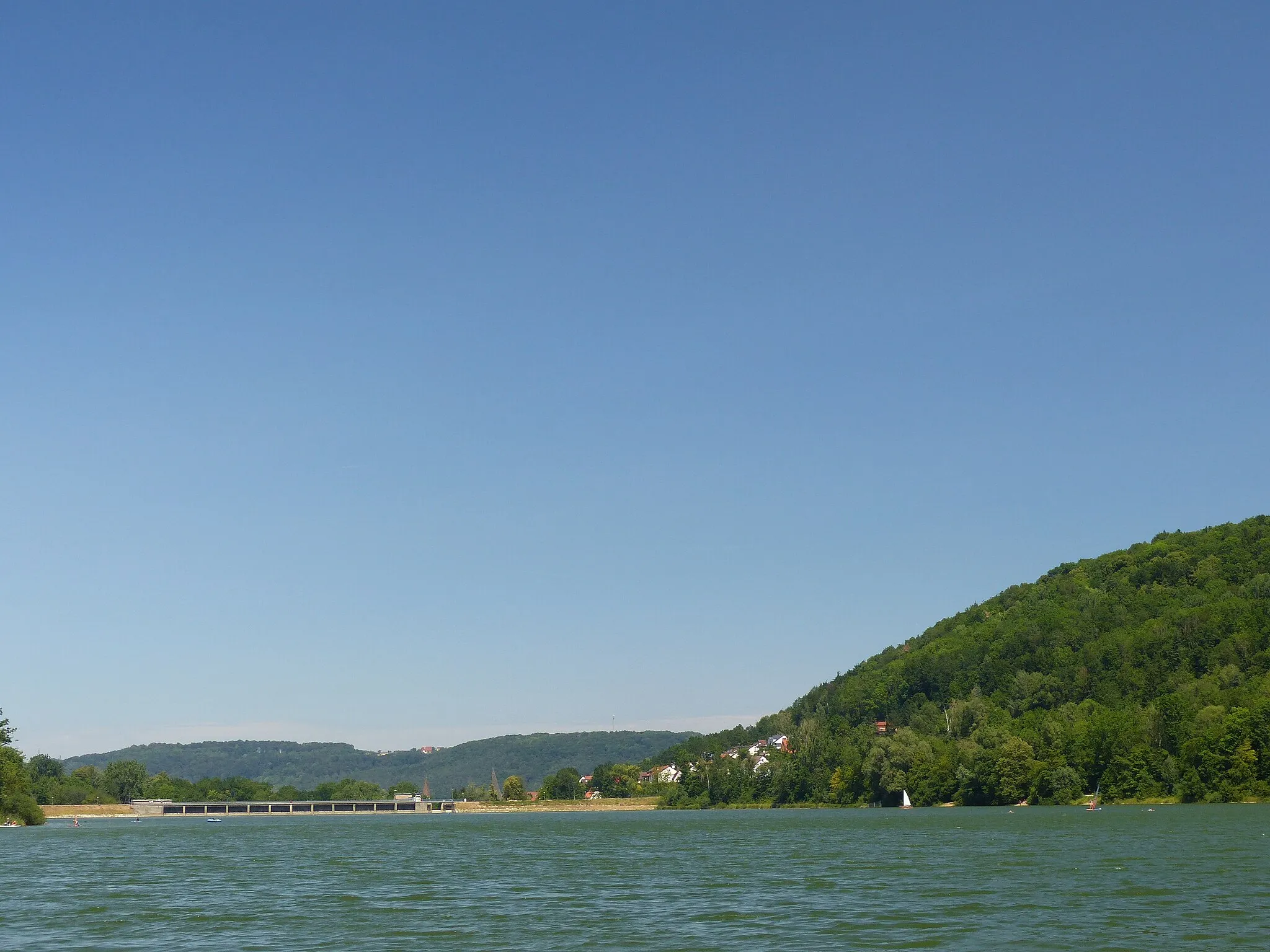
Kirchensittenbach, located in Mittelfranken, Germany, is a cyclist's paradise with its varied landscapes. From challenging mountainous terrains to idyllic countryside roads, there is something for every cyclist here. The area is famous for its proximity to the Franconian Switzerland Nature Park, offering stunning panoramic views and well-known climbs like the Ochsenkopf. Whether you're a road cyclist or prefer gravel routes, Kirchensittenbach has it all.
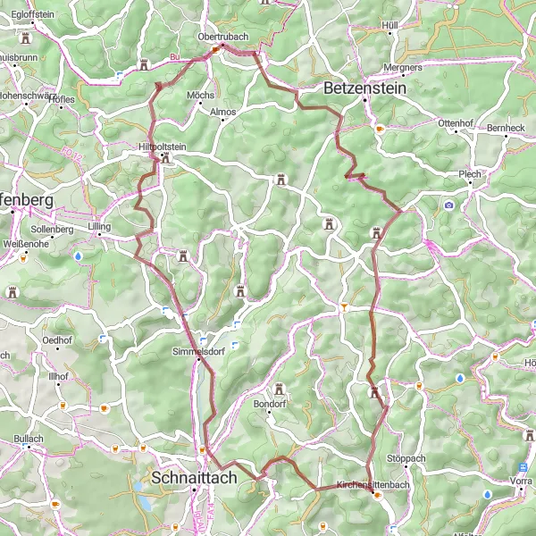
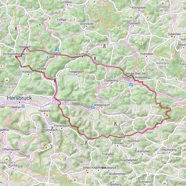
Embark on an exhilarating gravel adventure near Kirchensittenbach
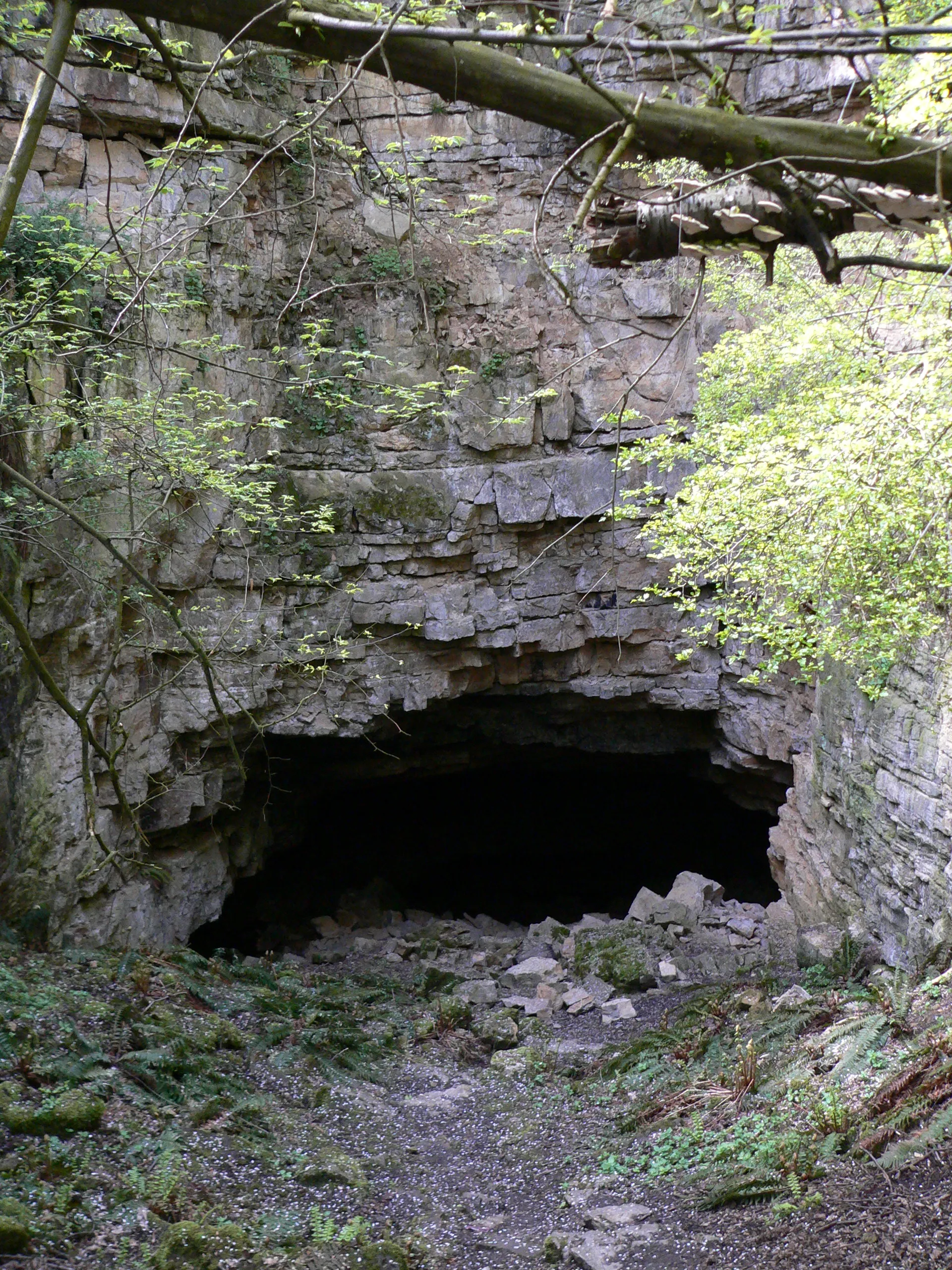
This gravel route offers a thrilling off-road cycling experience near Kirchensittenbach. Covering a distance of 49 km and featuring an ascent of 1003 meters, it is suitable for adventurous cyclists who enjoy the challenge of rough terrains. The route takes you through scenic forests, peaceful meadows, and rocky landscapes, providing a true sense of wilderness. Overall, this route offers a thrilling and immersive cycling experience amidst the natural beauty of the region.
Experience the scenic beauty and challenging terrain of Kirchensittenbach on this thrilling gravel adventure.
This gravel route near Kirchensittenbach takes you through picturesque landscapes, quaint villages, and challenging terrain. With a total ascent of 853 meters over a distance of 49 kilometers, this route offers a great mix of thrilling descents and satisfying climbs. Suitable for experienced gravel riders, it provides an exciting adventure with breathtaking views. Get ready to explore the Kleeberg, Reckenberg, Häuselsteiner Höhe, and other highlights along the way.
Experience the beauty of Kirchensittenbach on a scenic road cycling route with picturesque landscapes and charming villages.
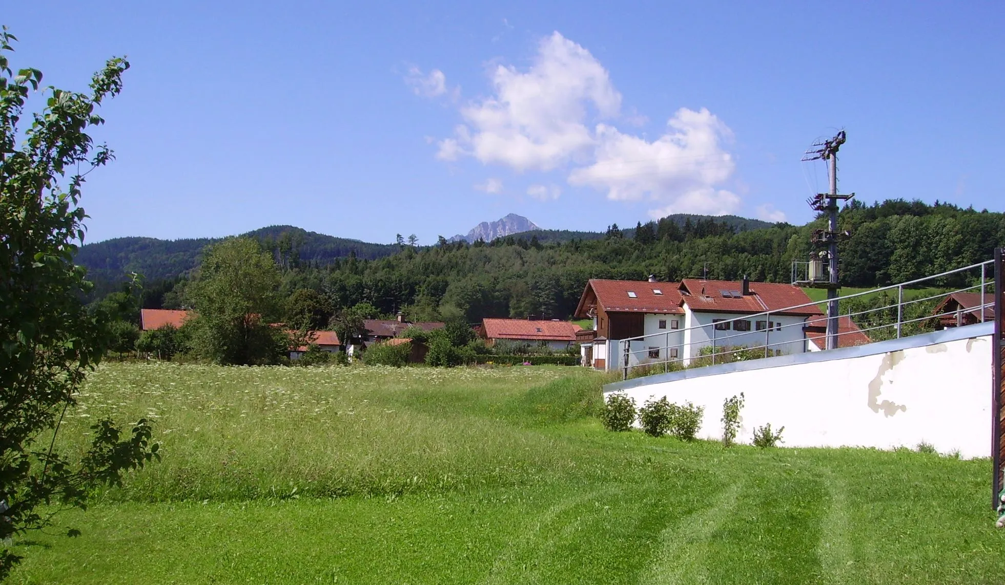
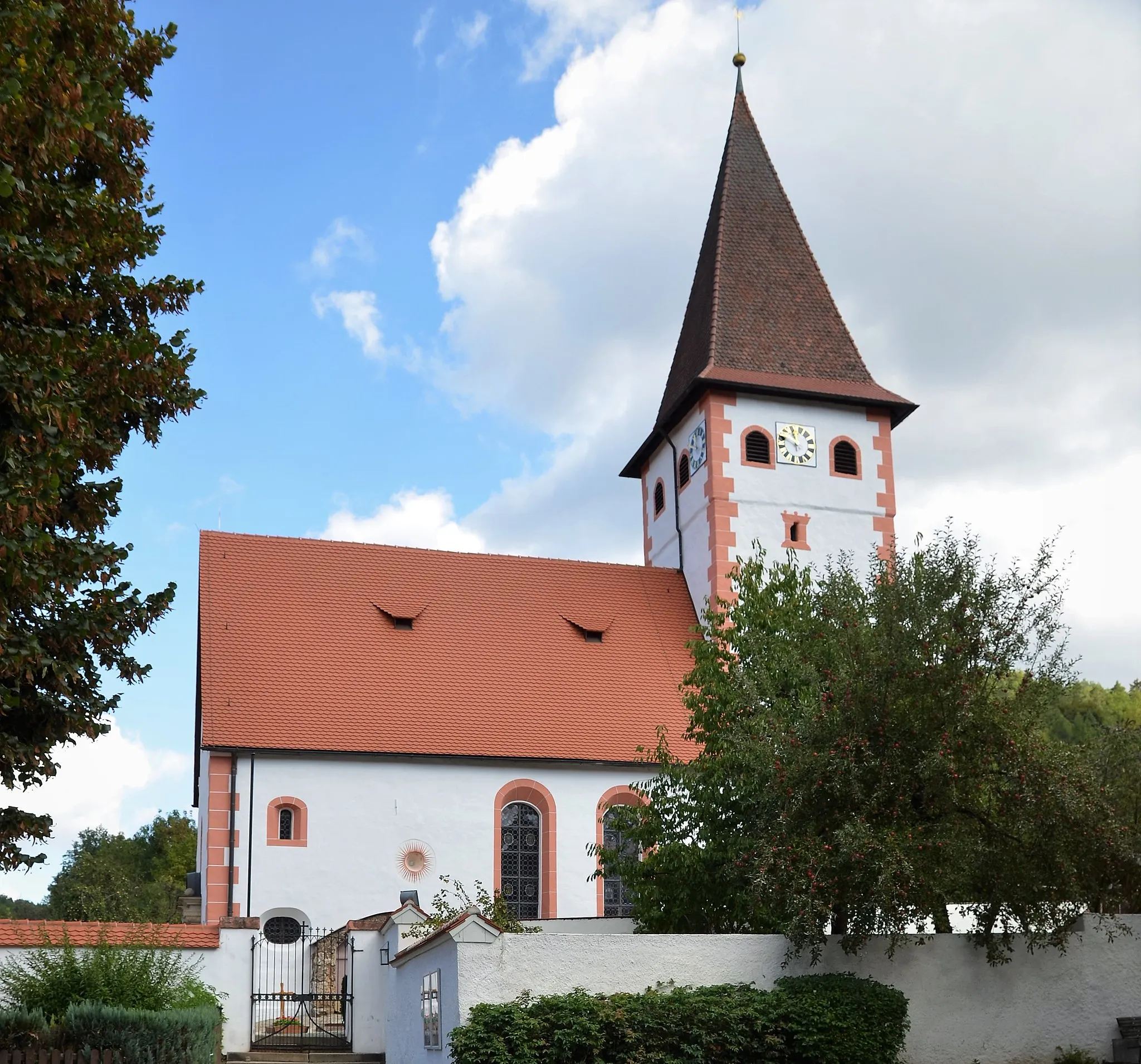
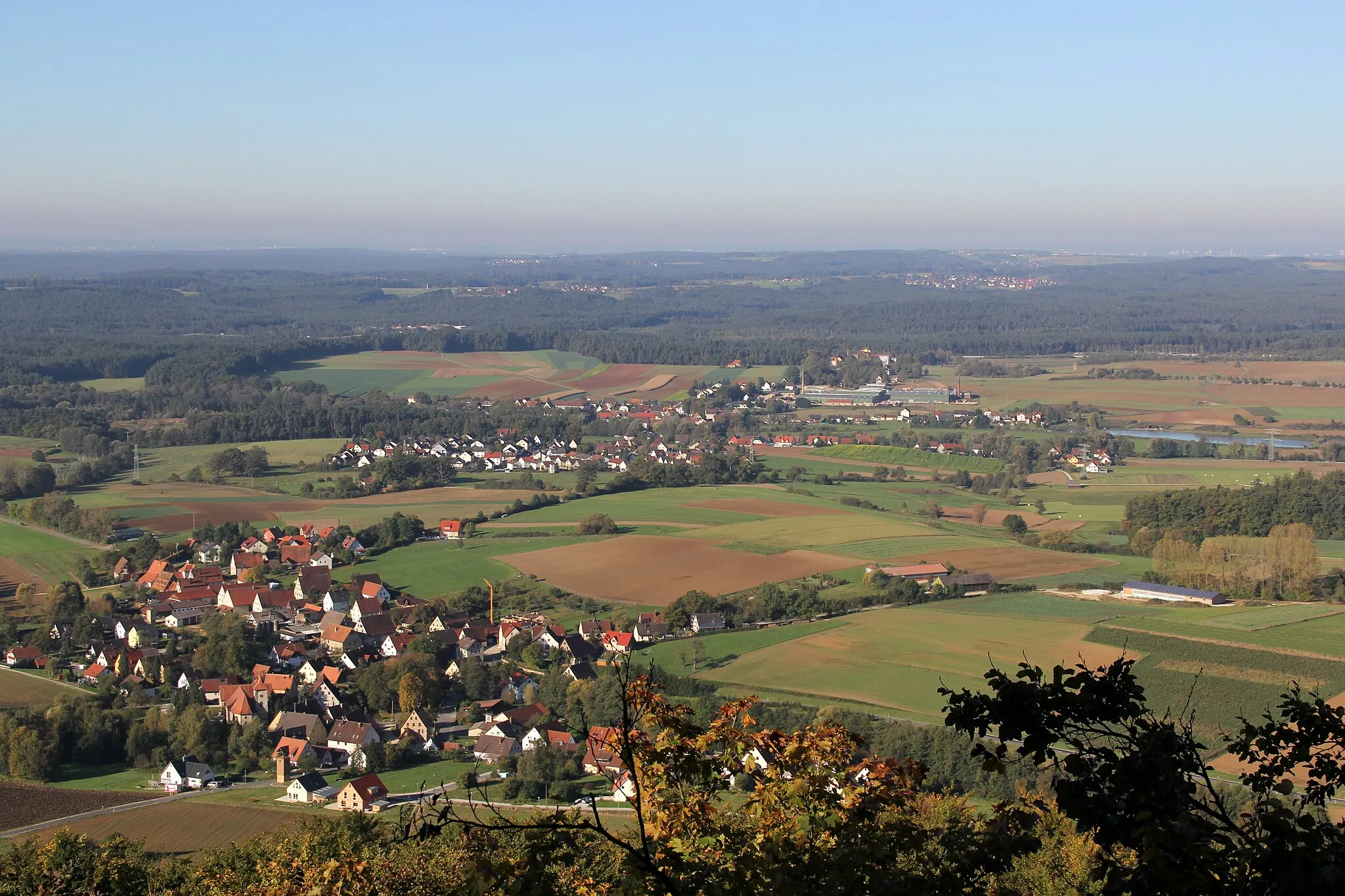
This road cycling route near Kirchensittenbach offers a breathtaking ride through rolling hills, stunning landscapes, and peaceful villages. With a total ascent of 542 meters over a distance of 40 kilometers, it provides a moderate challenge for road cyclists of all levels. Enjoy the beauty of Aspertshofen, Michelsberg, Gersdorf, and other highlights along the way. This route is perfect for riders who appreciate natural beauty and seek a relaxing yet rewarding cycling experience.
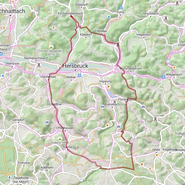
Embark on a thrilling gravel journey through the mesmerizing landscapes surrounding Kirchensittenbach.
This gravel route near Kirchensittenbach promises an exciting adventure for gravel enthusiasts who crave some adrenaline rush. With a total ascent of 1316 meters over a distance of 57 kilometers, this route unleashes a mix of challenging climbs and fast descents. Enjoy breathtaking views from Höhe, experience the thrill of riding through Hirschbach, and soak in the serenity of Tabernackel. Make sure not to miss the Kleeberg, Scheibe, Dollmannsberg, and other highlights along the way. Best suited for experienced riders seeking intense gravel activity.
Embark on a challenging road cycling journey to Auerberg and witness stunning landscapes
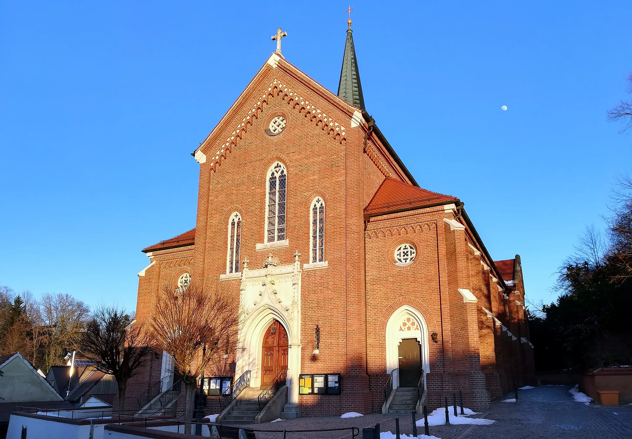
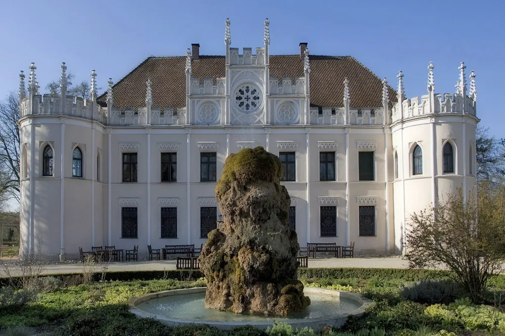
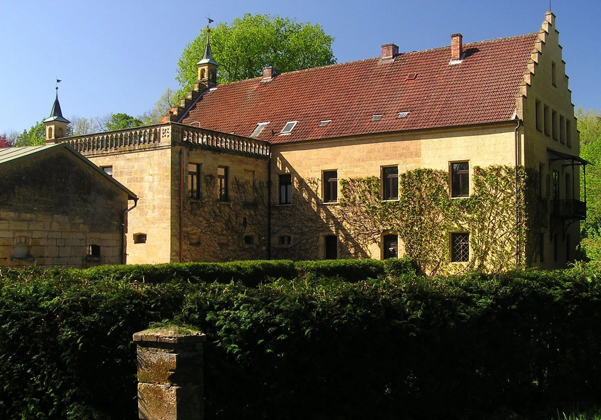
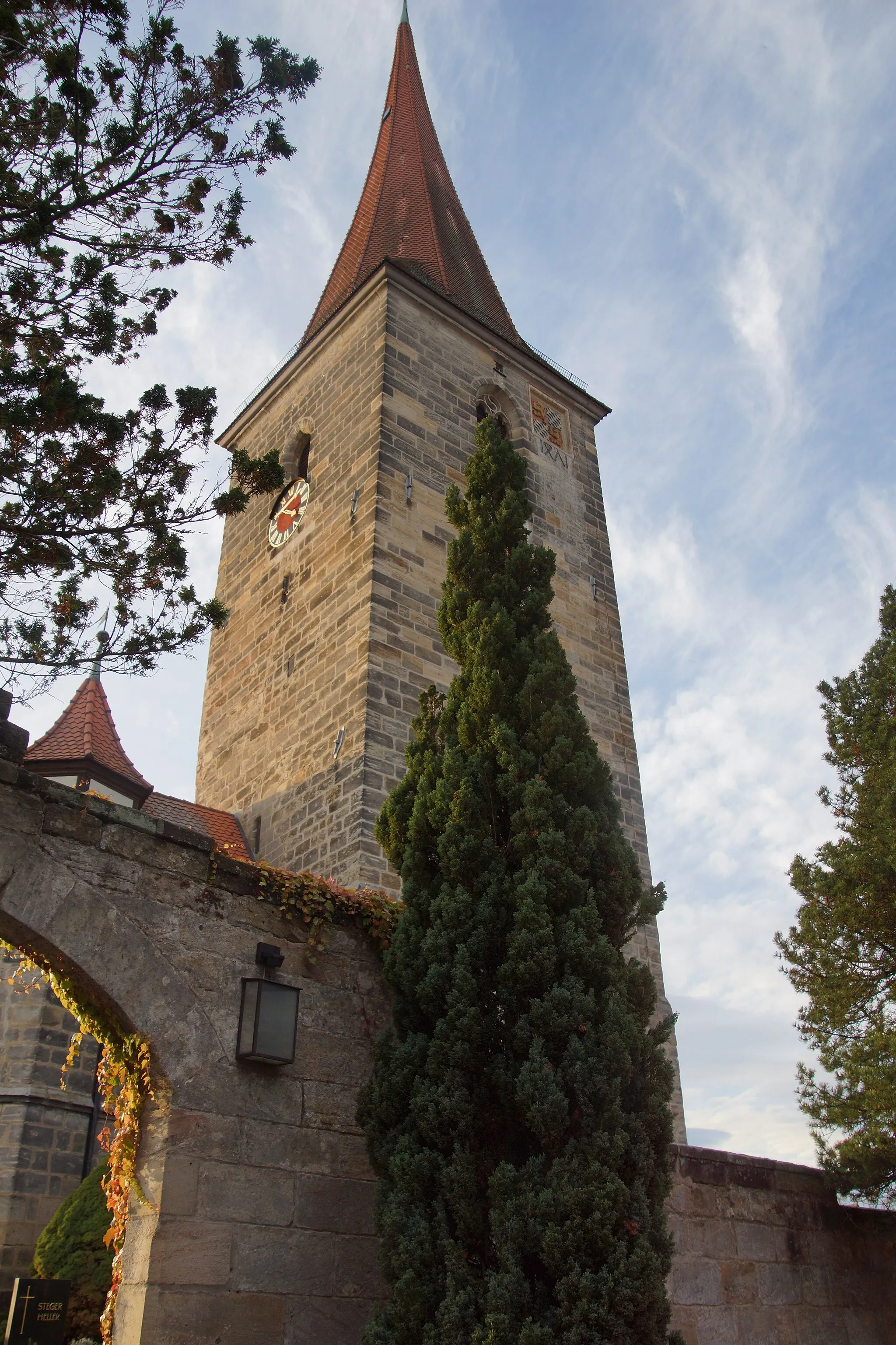
This challenging 67 km road cycling route takes you to Auerberg and other captivating highlights near Kirchensittenbach. With a notable ascent of 1235 meters, it is suitable for experienced cyclists seeking both a physical and scenic adventure. The route encompasses varying terrains, picturesque hilltop views, and historic landmarks that offer a rich cultural experience. Additionally, it provides an opportunity to explore the lesser-known attractions of the region. Overall, this challenging ride promises an exhilarating journey through captivating landscapes and diverse cultural attractions.

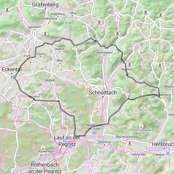
Cycle through the picturesque countryside surrounding Kirchensittenbach
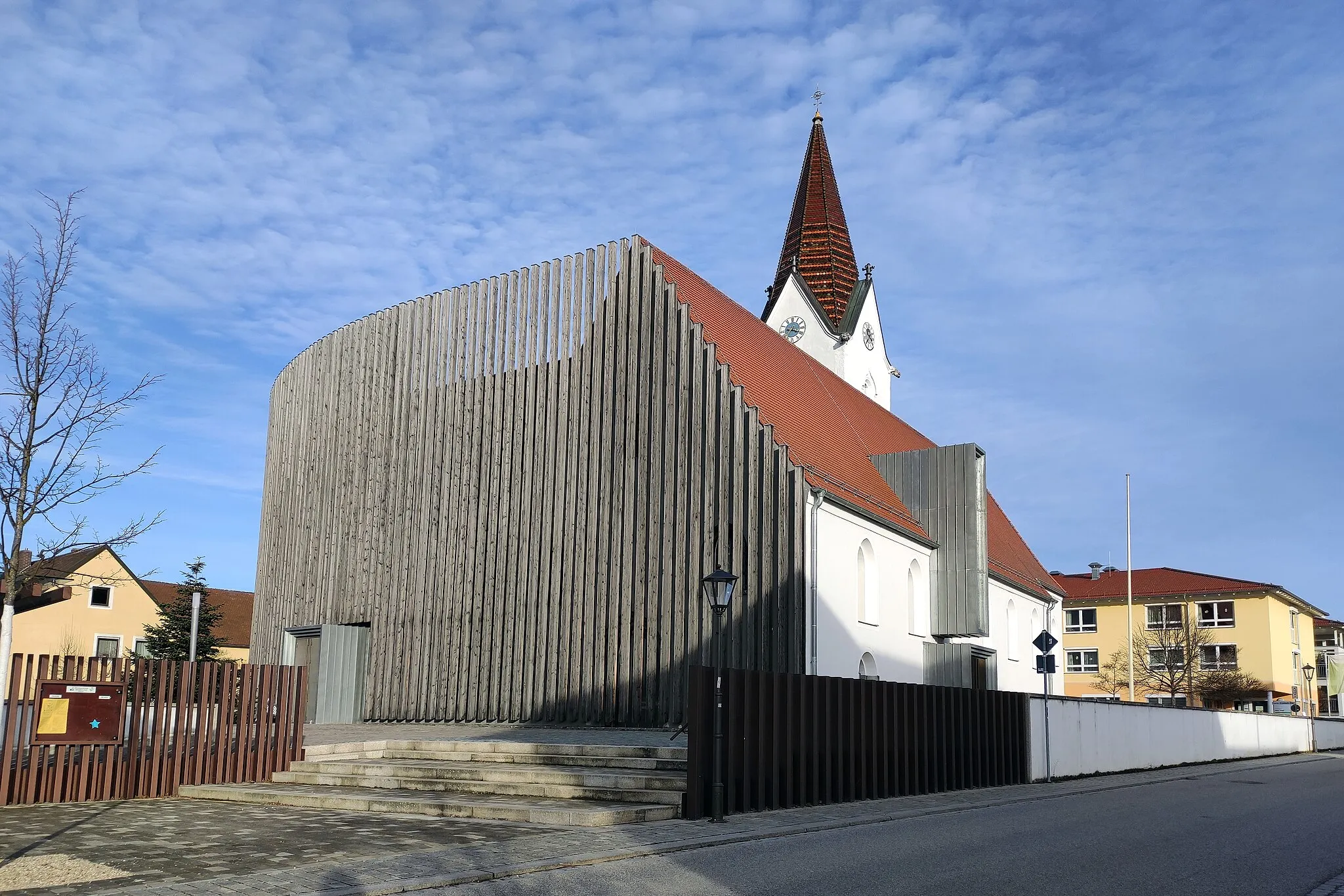
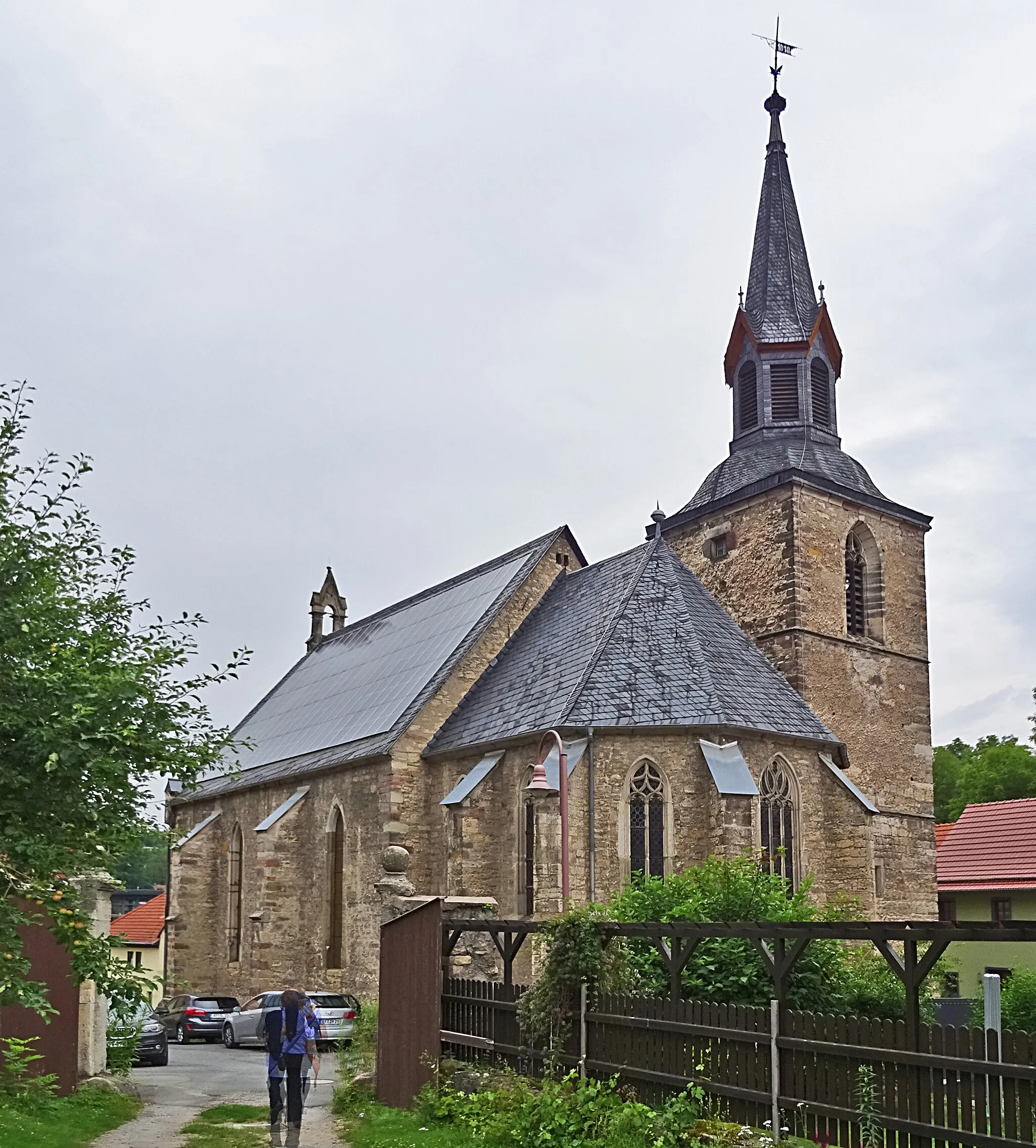
This route offers a scenic journey through the tranquil landscapes near Kirchensittenbach. With a total distance of 113 km and an ascent of 1606 meters, it is suitable for well-trained amateur cyclists. The route takes you through charming villages, dense forests, and rolling hills, providing breathtaking views along the way. Overall, this tour offers a delightful cycling experience amidst the beauty of Mittelfranken.

Explore the untamed beauty surrounding Kirchensittenbach on an exciting gravel ride
Embark on a thrilling adventure through the untamed beauty surrounding Kirchensittenbach on this 75 km long gravel ride. With an ascent of 1301 meters, this route is suitable for experienced gravel cyclists seeking a challenging and immersive experience amidst nature. You'll pedal through winding forest trails, magnificent rocky landscapes, and unexplored paths, encountering breathtaking views and enchanting forests along the way. Overall, this captivating route promises to be a memorable cycling journey for adventurous spirits.
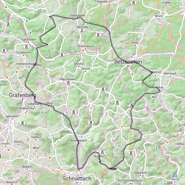
Embark on a road cycling adventure to Glatzenstein and explore scenic surroundings
This road cycling adventure spans 49 km and takes you through some of the most beautiful landscapes near Kirchensittenbach. With a moderate ascent of 923 meters, it is perfect for intermediate cyclists seeking a day filled with stunning vistas and pleasant riding. The route passes through charming villages, scenic overlooks, and historical landmarks, providing a memorable journey for cycling enthusiasts. Overall, this road cycling adventure offers the perfect blend of smooth riding, breathtaking views, and cultural explorations.
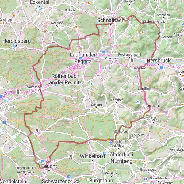
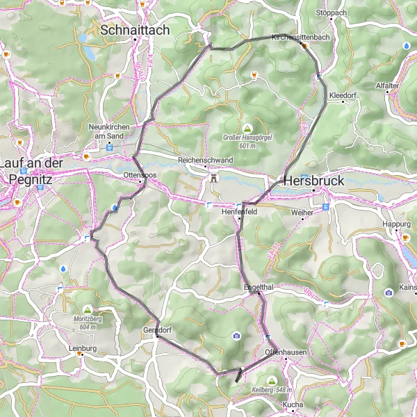
Explore the beauty of Kirchensittenbach on this scenic and challenging gravel route.
This gravel route near Kirchensittenbach invites you to explore the stunning landscapes and immerse yourself in nature. With a total ascent of 987 meters over a distance of 81 kilometers, this route offers a thrilling adventure for gravel enthusiasts. Discover the charm of Engelthal, Keilberg, Ungelstetten, and other highlights along the way. Suitable for experienced riders, this route promises an unforgettable journey filled with natural beauty and serene surroundings.
Embark on a challenging road cycling adventure through the stunning landscapes surrounding Kirchensittenbach.
This road cycling route near Kirchensittenbach takes you on a thrilling journey through varied terrain and scenic landscapes. With a total ascent of 1050 meters over a distance of 110 kilometers, it offers a challenging yet rewarding experience for road cyclists. Marvel at the beauty of Michelsberg, Bug, Platnersberg, and other highlights along the way. Suitable for experienced riders, this route guarantees an epic adventure that will test your endurance and showcase the natural beauty of the region.
Cycling routes nearby:


Nearby regions: