Discover the beauty of Neunkirchen am Sand through its scenic cycling routes.
Cycling routes from Neunkirchen am Sand
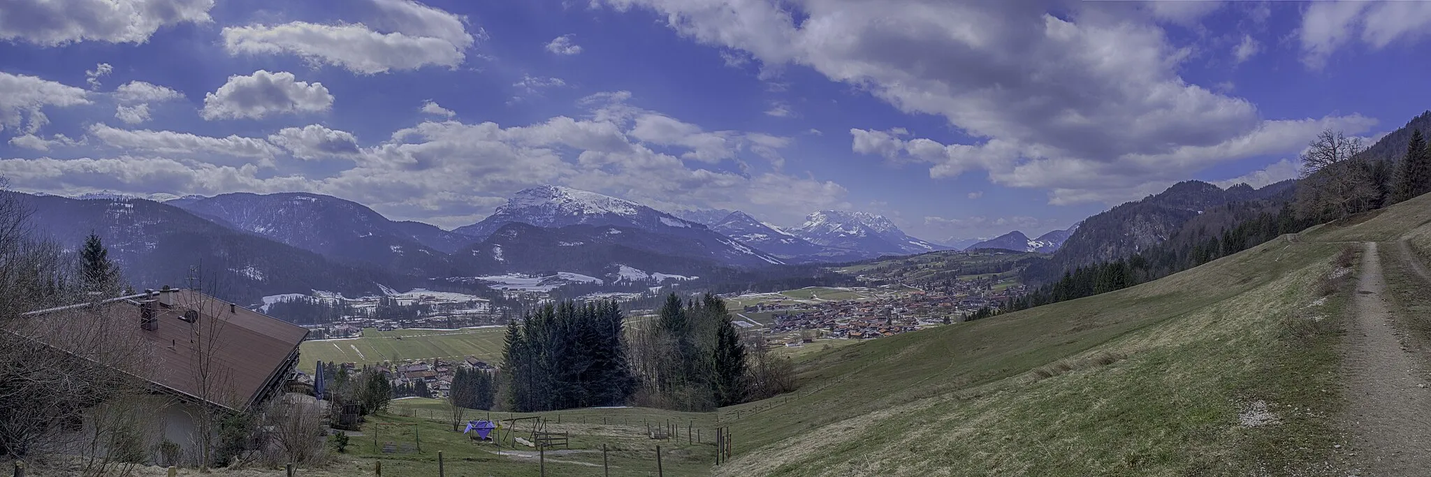
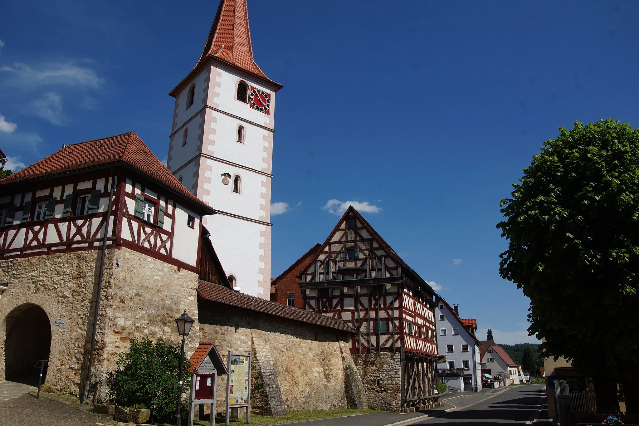
Neunkirchen am Sand, located in Mittelfranken, Germany, offers a variety of cycling opportunities. The region boasts scenic routes that wind through picturesque countryside and charming villages. Road and gravel cyclists can enjoy a peaceful and tranquil ride, away from busy traffic. Cyclists can also explore nearby attractions such as the Franconian Switzerland Nature Park, which offers stunning natural landscapes and well-known climbs for experienced riders.
Simmelsdorf Gravel Adventure
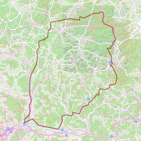
A thrilling gravel adventure through Simmelsdorf and beyond
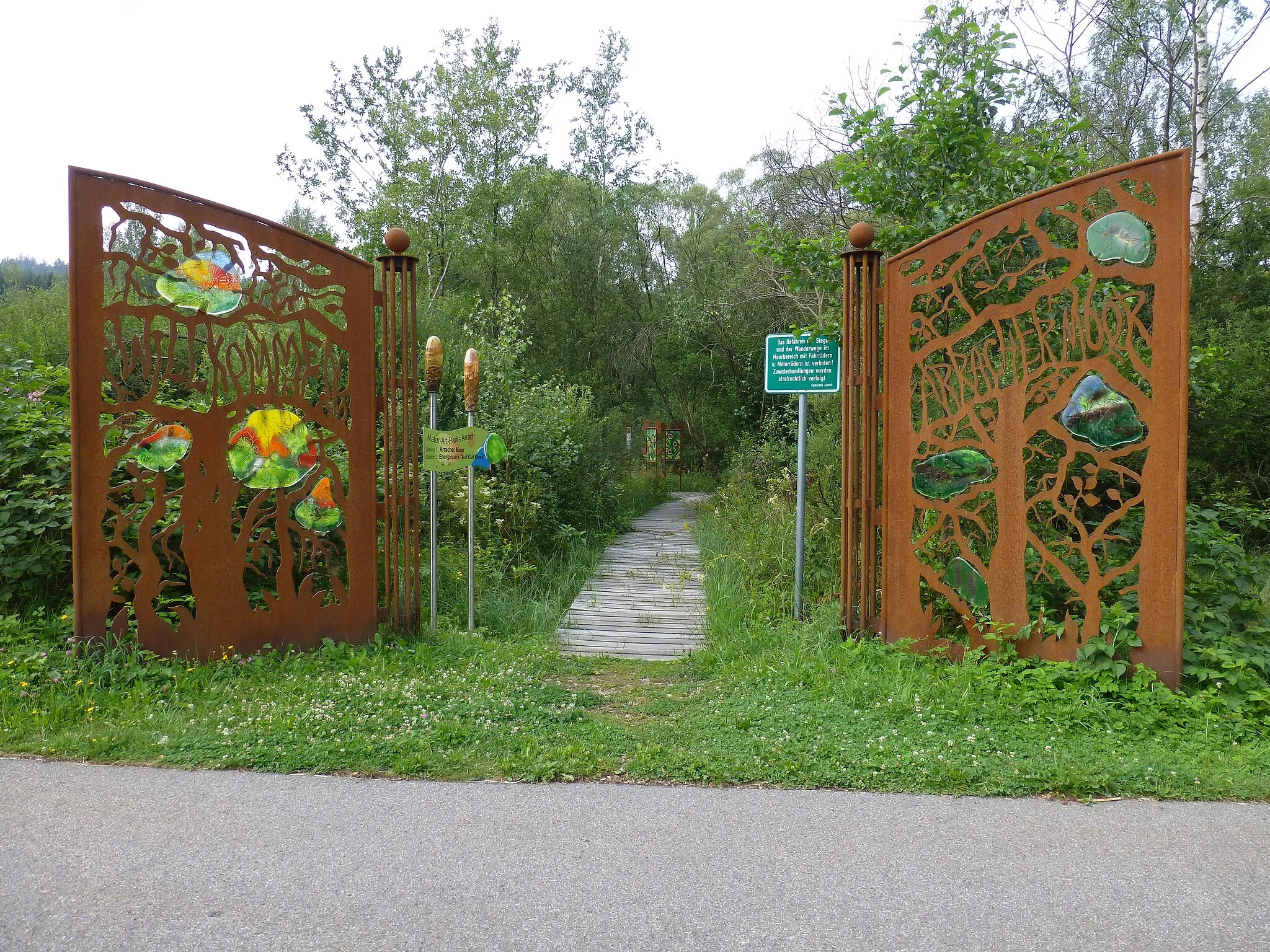
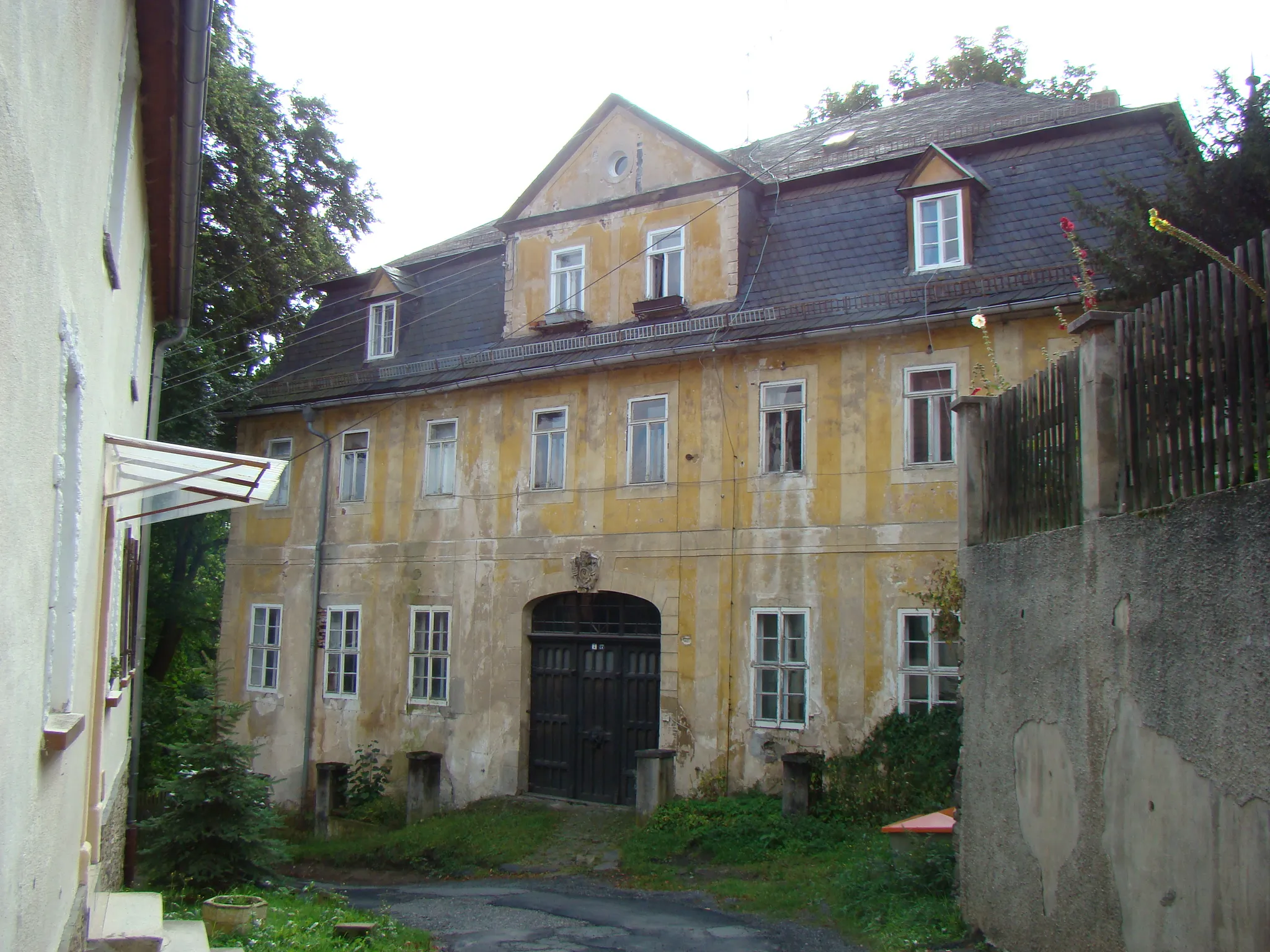
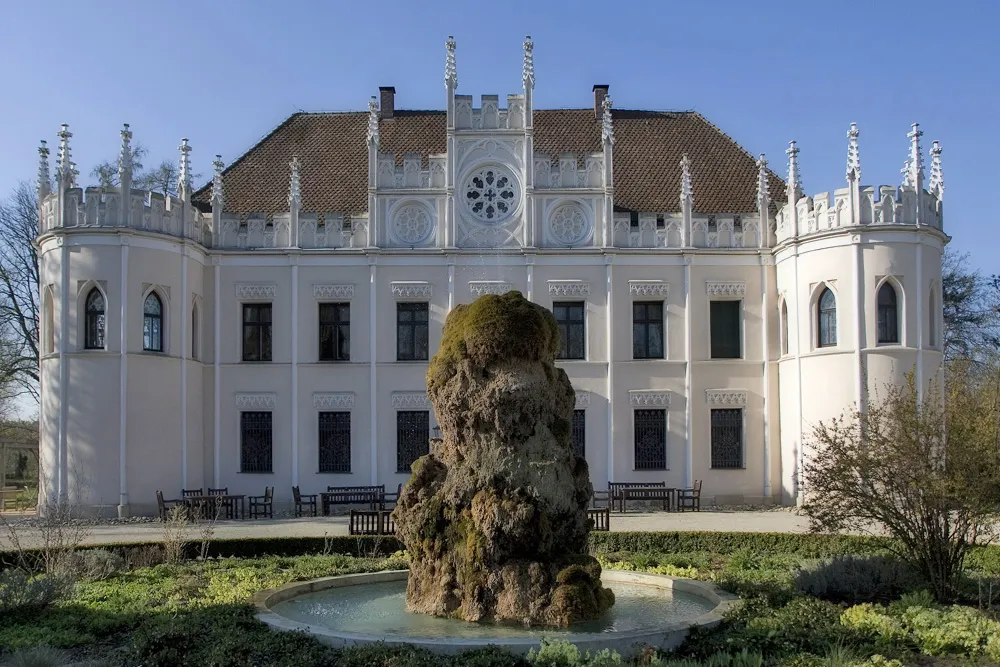
Explore the scenic landscapes and charming towns on this 81 km gravel route in Simmelsdorf. With a total ascent of 1314m, it offers a challenging ride for experienced cyclists. The route takes you to highlights such as the picturesque Mühlberg and the impressive Großer Wasserstein. Be sure to make a stop at the iconic Beobachtungsturm for a breathtaking panoramic view. Don't miss out on exploring the historic Burg Veldenstein and enjoying the stunning views from the top. End your adventure with a visit to the charming town of Reichenschwand.
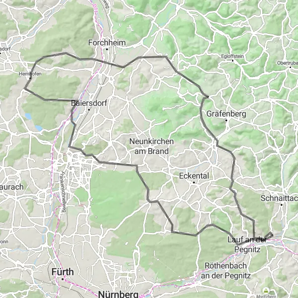
Immerse yourself in the scenic beauty of Neunkirchen am Sand on this road cycling route
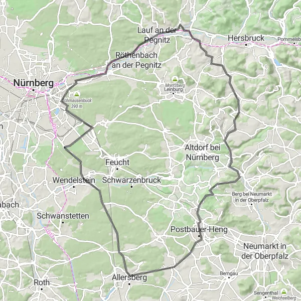
Get ready to be mesmerized by the breathtaking beauty of Neunkirchen am Sand on this road cycling route. With a total ascent of 990 meters and a distance of 97 kilometers, this loop offers a challenging yet rewarding experience for cyclists. The difficulty level is rated at 4, making it suitable for well-trained amateur cyclists seeking a thrilling adventure. Highlights along the way include Lauf an der Pegnitz, a charming town with a rich history and picturesque landscapes, Steinberg, a small village known for its beautiful natural surroundings, and Pinzberg, a scenic hilltop village with panoramic views.

A scenic gravel route with highlights like Simmelsdorf and Rothenberg
This distinctive gravel route takes you through the beautiful countryside near Neunkirchen am Sand. With a total ascent of 618 meters and a distance of 34 kilometers, it offers a challenging but rewarding cycling experience. The route highlights include Simmelsdorf, a charming village known for its historic buildings, and Rothenberg, a stunning hilltop castle with panoramic views. The difficulty level of this route is 3, making it suitable for well-trained amateurs. The epicness score is 4, as it offers picturesque landscapes and interesting cultural sites.
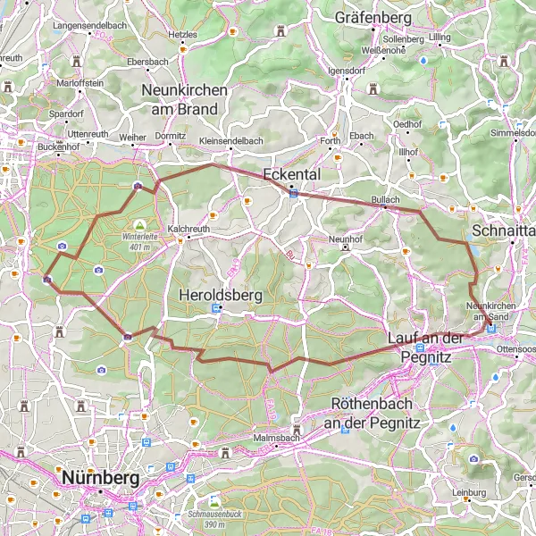
Discover the beauty of Lauf an der Pegnitz and Kleinsendelbach on this gravel tour
Embark on this 54-kilometer gravel tour exploring the picturesque towns of Lauf an der Pegnitz and Kleinsendelbach. With an ascent of 415 meters, it offers a moderately challenging ride. The highlights of this route include Lauf an der Pegnitz, a town known for its medieval architecture and charming old town. Another highlight is the Kleinsendelbach, a peaceful village surrounded by beautiful forested areas. This route is suitable for well-trained amateurs with a difficulty level of 3. The epicness score is 3 as it immerses you in the scenic beauty of Franconia.

Embark on an exciting road cycling adventure with stunning views
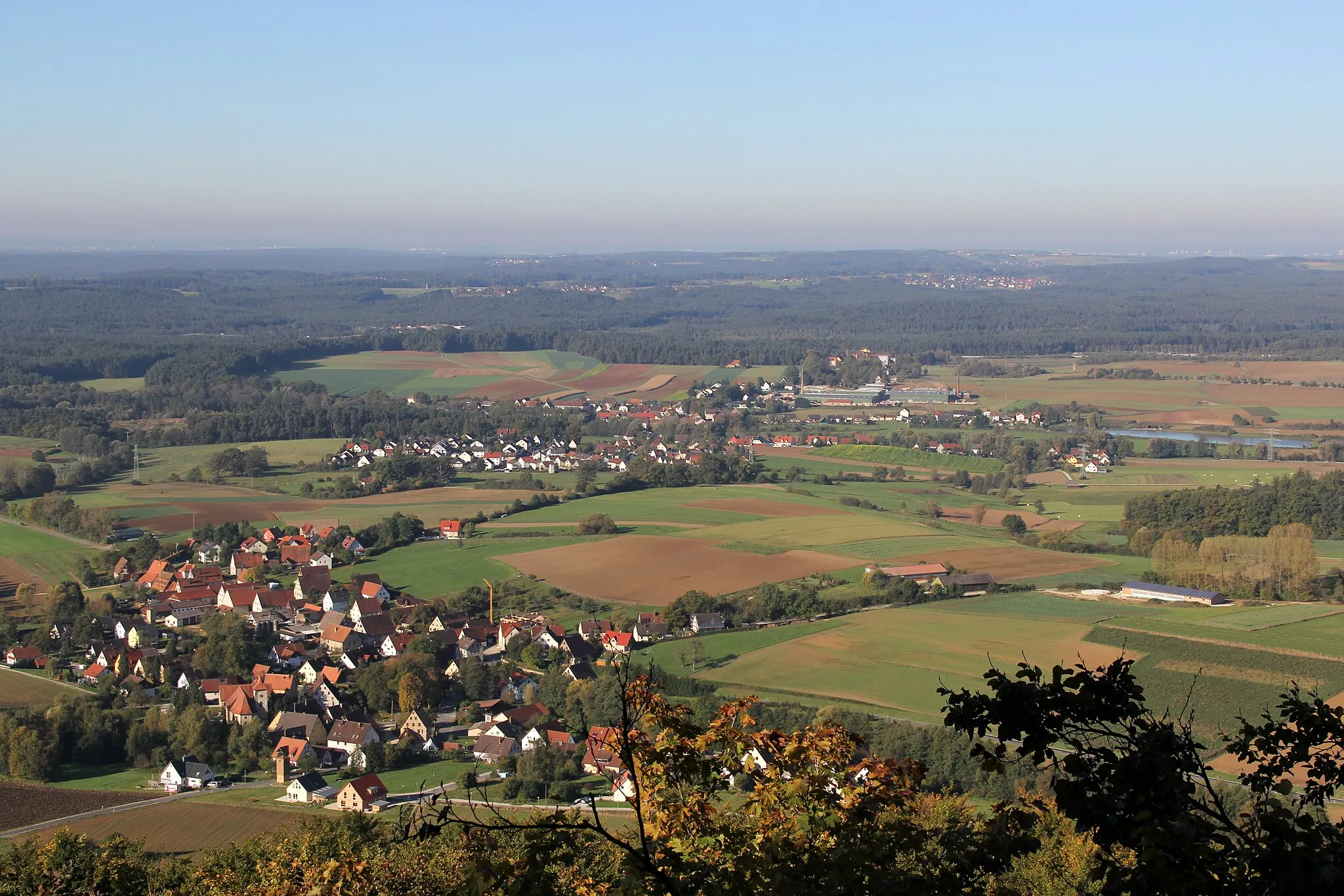
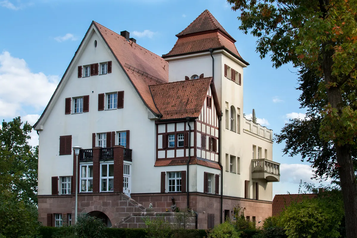
This road cycling route near Neunkirchen am Sand offers a thrilling adventure with beautiful landscapes and challenging climbs. With a total ascent of 1241 meters and a distance of 78 kilometers, it is suitable for well-trained amateur cyclists. The route has an epicness rating of 4, promising excitement and memorable moments. Highlights along the way include Eckental, a charming village known for its picturesque scenery, Rangener Berg, a challenging climb with stunning panoramic views, and Schloss Hundshaupten, a majestic castle surrounded by lush greenery.
Heroldsberg Scenic Road Ride

Discover the beauty of Heroldsberg through this road cycling route
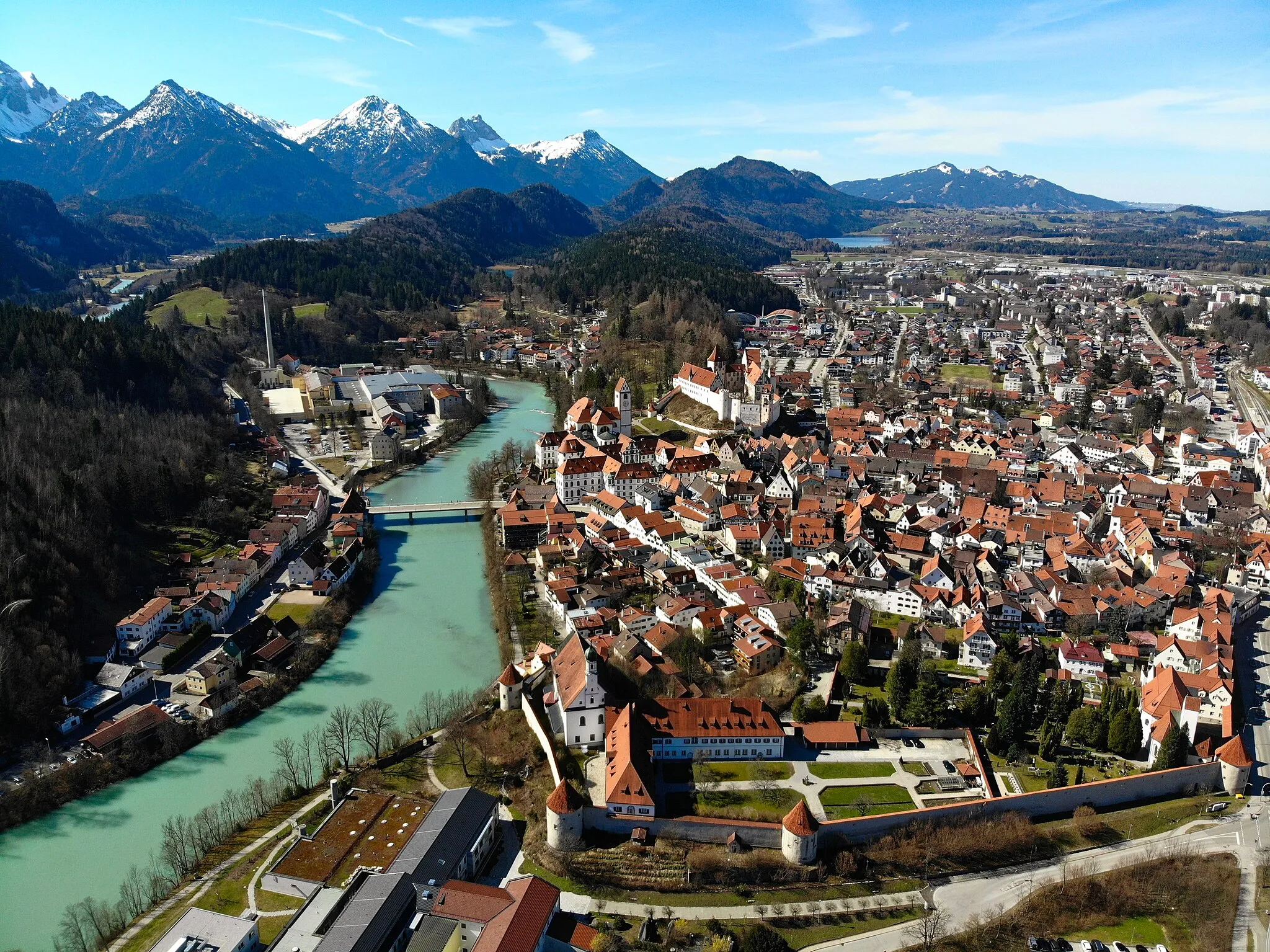
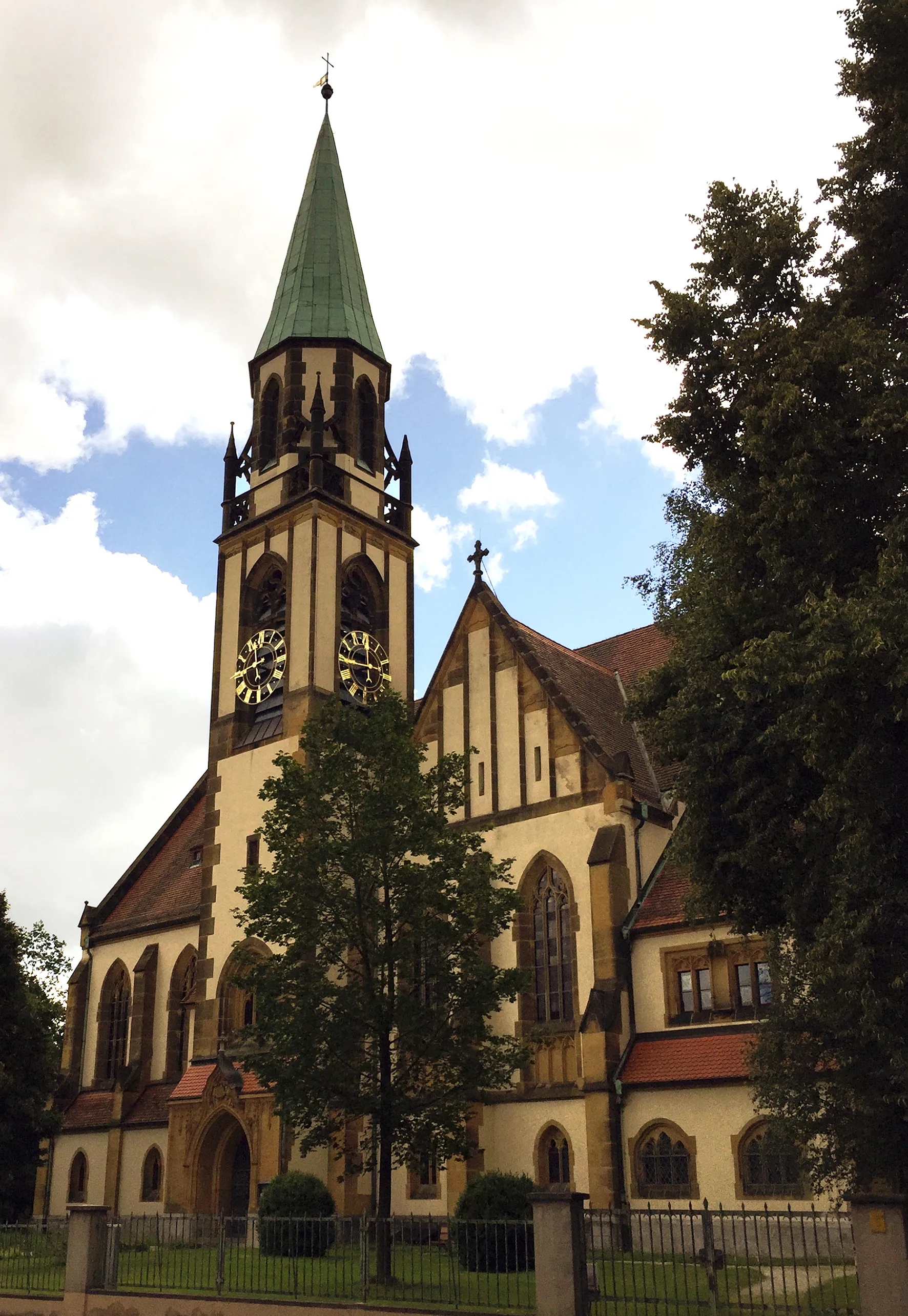
Experience the mesmerizing landscapes and historical sites on this 78 km road cycling route starting near Neunkirchen am Sand. With a total ascent of 1080m, it provides a challenging ride for intermediate cyclists. Pedal through Heroldsberg's scenic countryside and enjoy the tranquility of nature. Highlights include the charming Steinberg, the picturesque Pinzberg, and the historic Burgstein. Don't miss the stunning Thuisbrunn, surrounded by lush greenery. Make a stop at Wache to admire the architectural marvels. Finish your journey with a visit to Schnaittach, which is known for its rich history and vibrant atmosphere.
A picturesque gravel route through Neunkirchen am Sand and surroundings
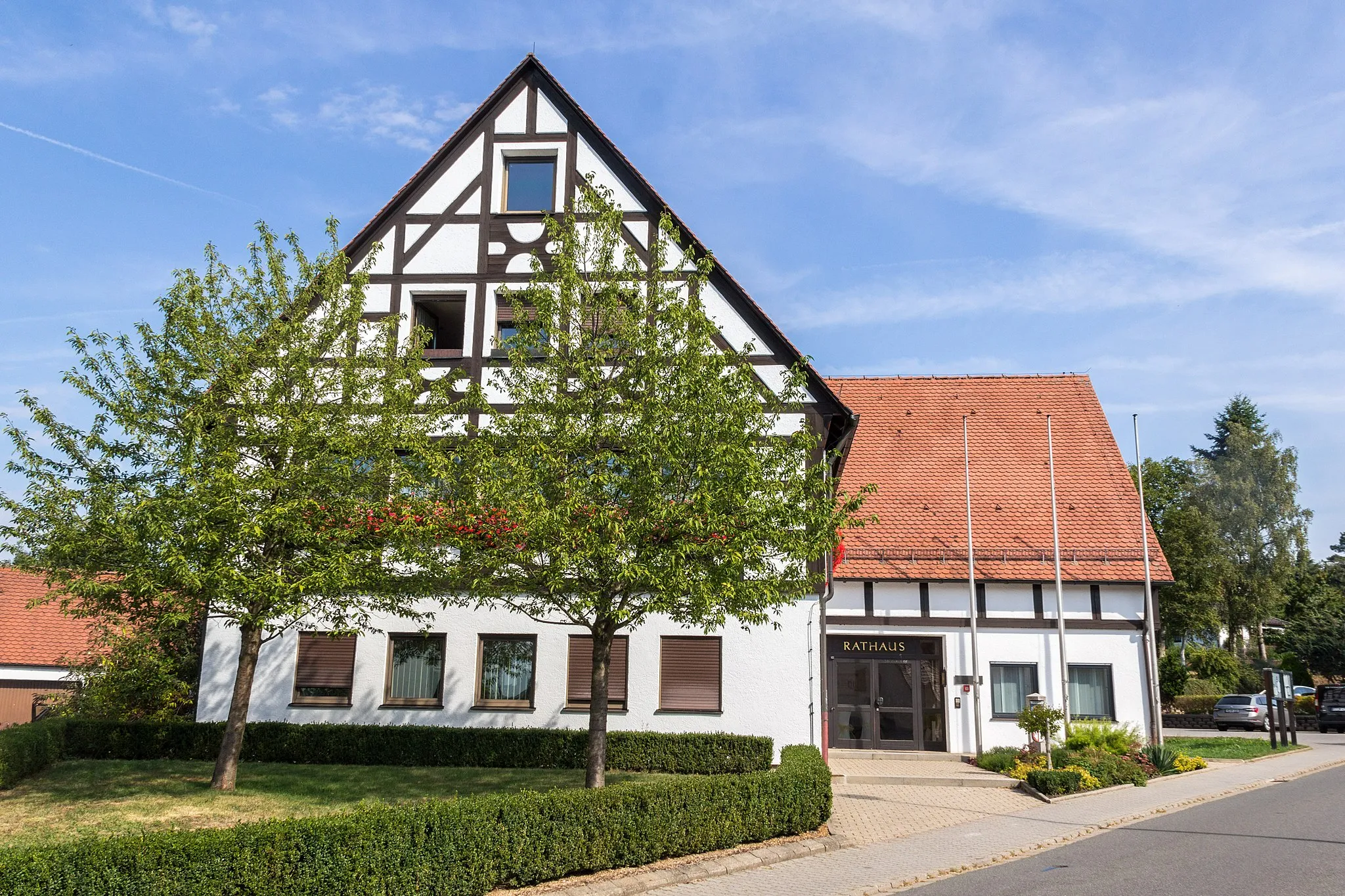
Explore the picturesque landscapes surrounding Neunkirchen am Sand on this 64 km gravel route. With a total ascent of 831m, it offers a moderate challenge for cyclists of all levels. Experience the stunning Doggerstollen and the enchanting Hohler Fels along the way. Bischberg is a highlight with its scenic beauty and serene atmosphere. Admire the architecture and cultural charm of Altdorf bei Nürnberg. Make a stop at Ottensoos for breathtaking panoramic views.
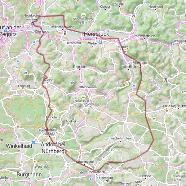
Experience the thrill of gravel cycling through hills and forests
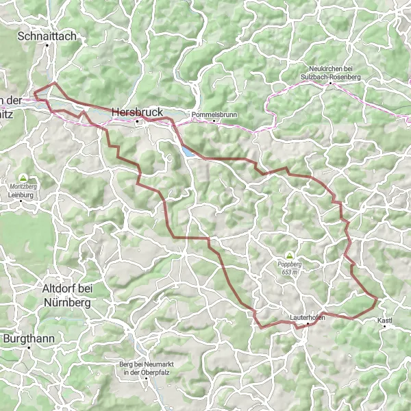
This route offers a thrilling gravel cycling adventure through the beautiful hills and forests near Neunkirchen am Sand. With a total ascent of 1361 meters and a distance of 82 kilometers, it is suitable for well-trained amateur cyclists. The epicness of the route is rated at 4, making it an exciting and challenging ride. Highlights along the route include Happurg, a charming village located 14 kilometers from the start, Hohler Fels, a stunning rock formation with historical significance, and Grasanger, a peaceful nature reserve with picturesque views.
Conquer the ultimate road cycling challenge through hills and valleys
This road cycling route near Neunkirchen am Sand is not for the faint-hearted, offering an epic challenge with its hilly terrain and breathtaking scenery. With a total ascent of 845 meters and a distance of 97 kilometers, it is suitable for experienced and well-trained cyclists seeking a strenuous adventure. The difficulty level is rated at 4, demanding a high level of physical fitness and endurance. Highlights on this challenging route include Ottensoos, a small village with idyllic charm, Keilberg, a picturesque mountain pass with stunning vistas, and Bug, a quaint Bavarian town known for its historic architecture and friendly locals.

A challenging road cycling route through Happurg and beyond
Challenge yourself with this 87 km road cycling route through the picturesque landscapes surrounding Happurg. With a total ascent of 907m, it offers a thrilling ride for experienced cyclists. Highlights include the stunning Michelsberg, the historical town of Happurg with its vibrant atmosphere, and the scenic Deinschwang. Take in the panoramic views from Schweineberg and Neumarkt in der Oberpfalz. Don't miss out on exploring the Großberg and the enchanting Burgthann. End your journey with a visit to Leinburg, known for its cultural attractions, and enjoy a fantastic view of Nürnberg-Blick. Finish your adventure in Ottensoos, a charming town with traditional Bavarian architecture.
Cycling routes nearby:


Nearby regions: