The Scenic Road Loop
A road cycling route starting from Neunkirchen am Sand
Immerse yourself in the scenic beauty of Neunkirchen am Sand on this road cycling route
Map
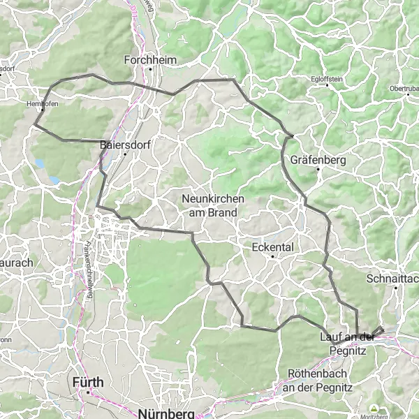
Get ready to be mesmerized by the breathtaking beauty of Neunkirchen am Sand on this road cycling route. With a total ascent of 990 meters and a distance of 97 kilometers, this loop offers a challenging yet rewarding experience for cyclists. The difficulty level is rated at 4, making it suitable for well-trained amateur cyclists seeking a thrilling adventure. Highlights along the way include Lauf an der Pegnitz, a charming town with a rich history and picturesque landscapes, Steinberg, a small village known for its beautiful natural surroundings, and Pinzberg, a scenic hilltop village with panoramic views.
road
97 km
990 m
Tough
Route profile
Highlights on the route
0 km
0 km
Start: Neunkirchen am Sand Village centerNeunkirchen am Sand: Discover the beauty of Neunkirchen am Sand through its scenic cycling routes.
Neunkirchen am Sand, located in Mittelfranken, Germany, offers a variety of cycling opportunities. The region boasts scenic routes that wind through picturesque countryside and charming villages. Road and gravel cyclists can enjoy a peaceful and tranquil ride, away from busy traffic. Cyclists can also explore nearby attractions such as the Franconian Switzerland Nature Park, which offers stunning natural landscapes and well-known climbs for experienced riders.4 km
4 km
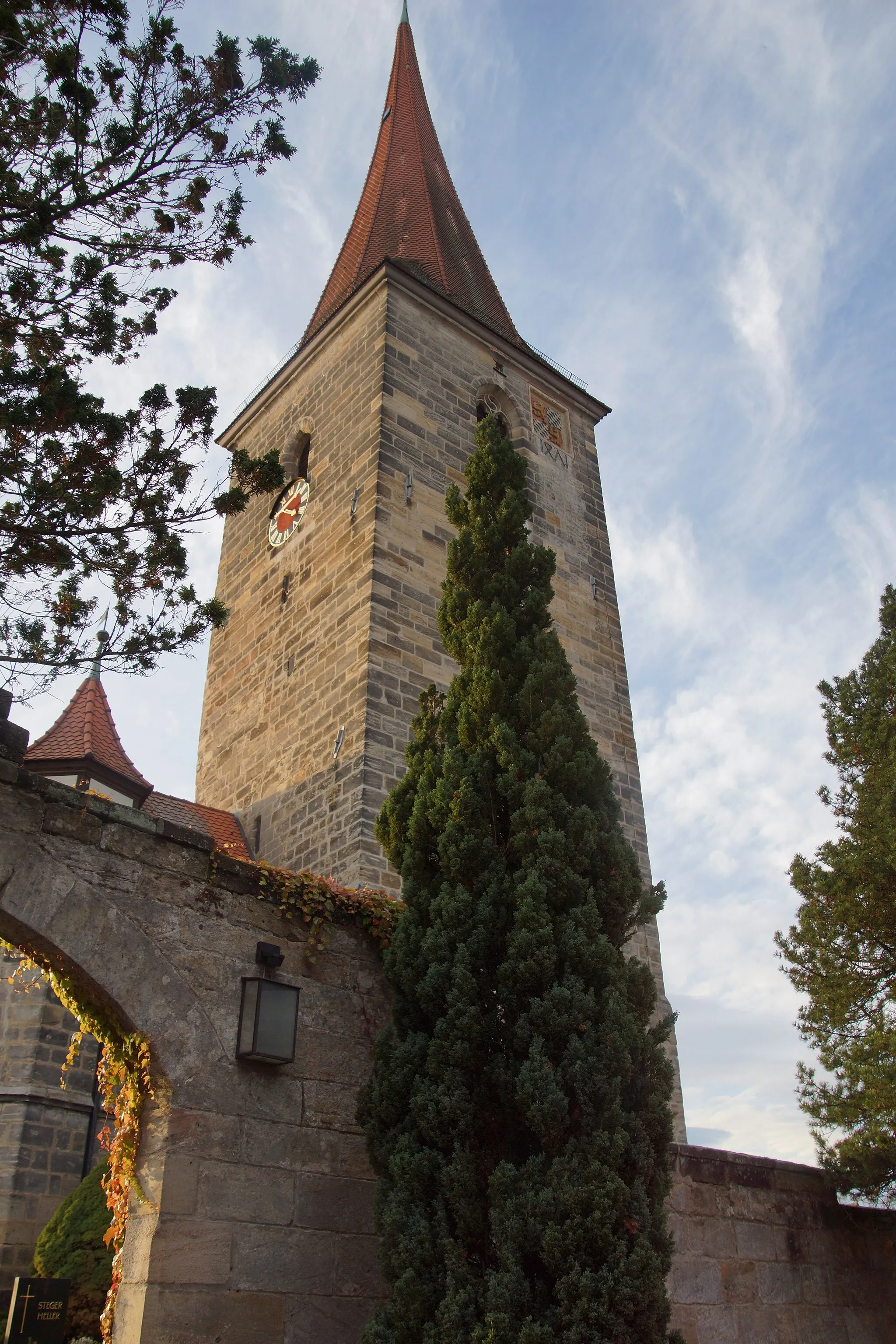
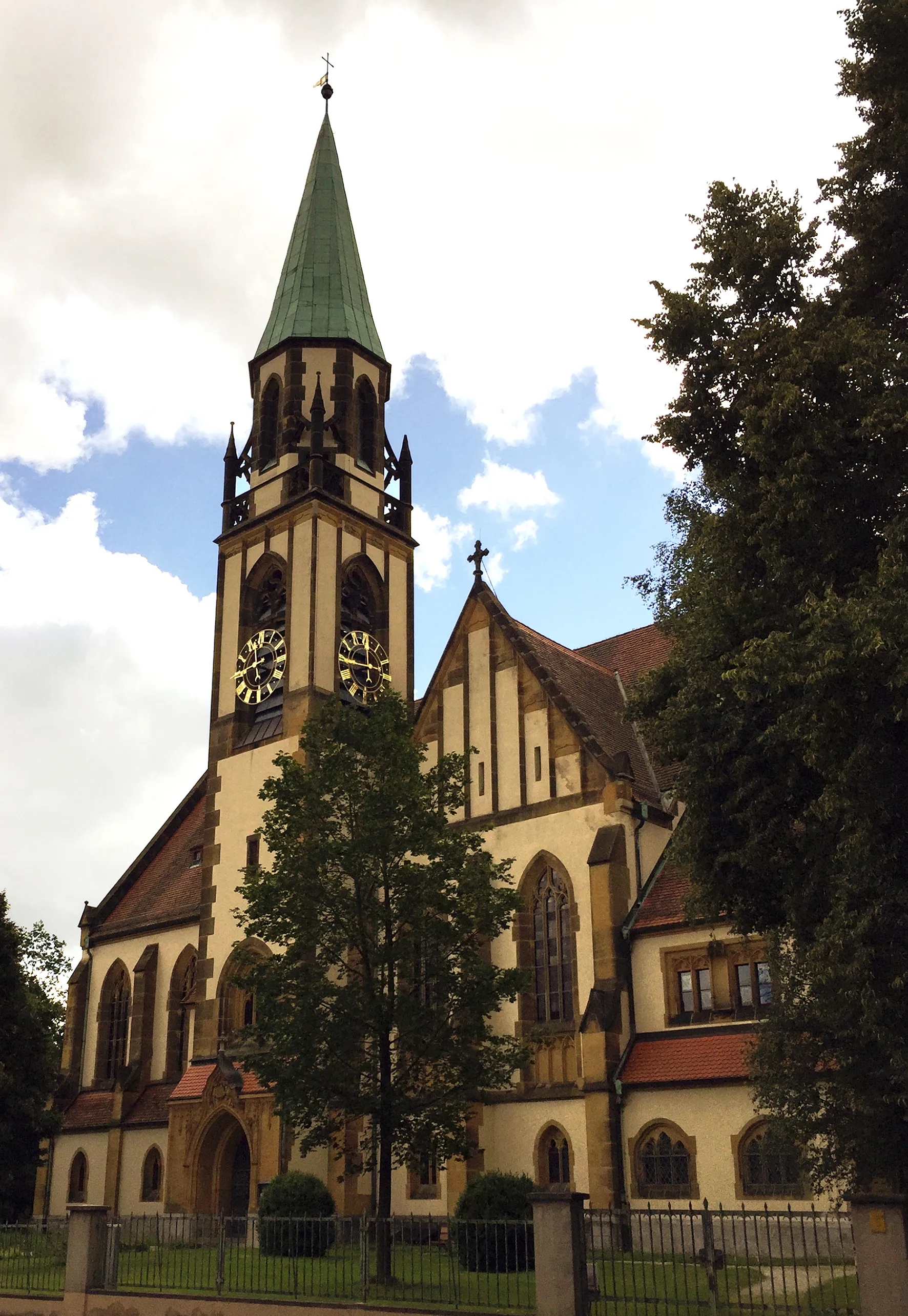
Lauf an der PegnitzTownExplore Lauf an der Pegnitz, a charming town with a rich history and stunning architecture.
7 km
7 km
Steinberg384 mPeakTake a moment to appreciate the natural beauty of Steinberg and its surrounding picturesque landscapes.
15 km
15 km
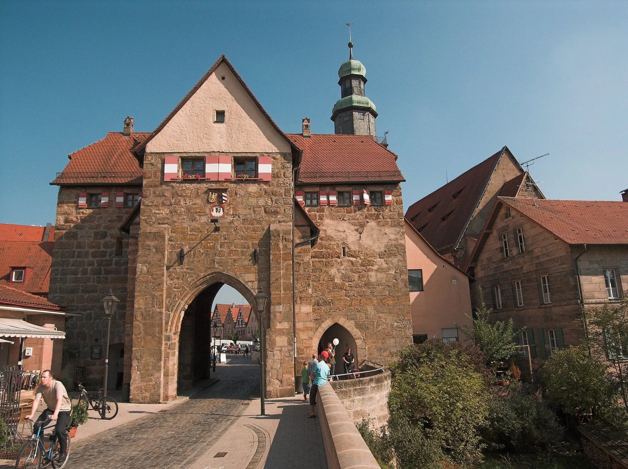
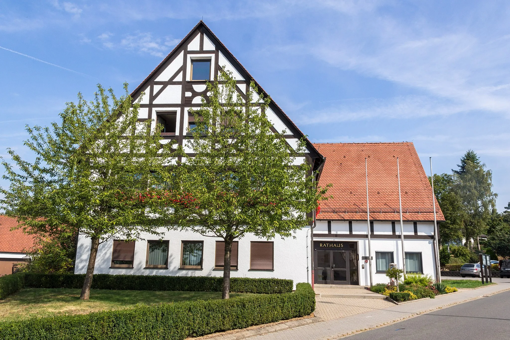
HeroldsbergTownDiscover the beauty of Heroldsberg, a charming village known for its well-preserved architecture and peaceful atmosphere.
19 km
19 km
Mistelberg418 mPeakEnjoy stunning panoramic views from the top of Mistelberg, a scenic hill located along the route.
35 km
35 km
BubenreuthVillageBubenreuth, a picturesque village known for its musical instrument manufacturing, is a perfect place to take a break and enjoy the tranquil surroundings.
41 km
41 km
Geiersberg333 mPeakClimb Geiersberg and marvel at the breathtaking views of Neunkirchen am Sand and the surrounding countryside.
61 km
61 km
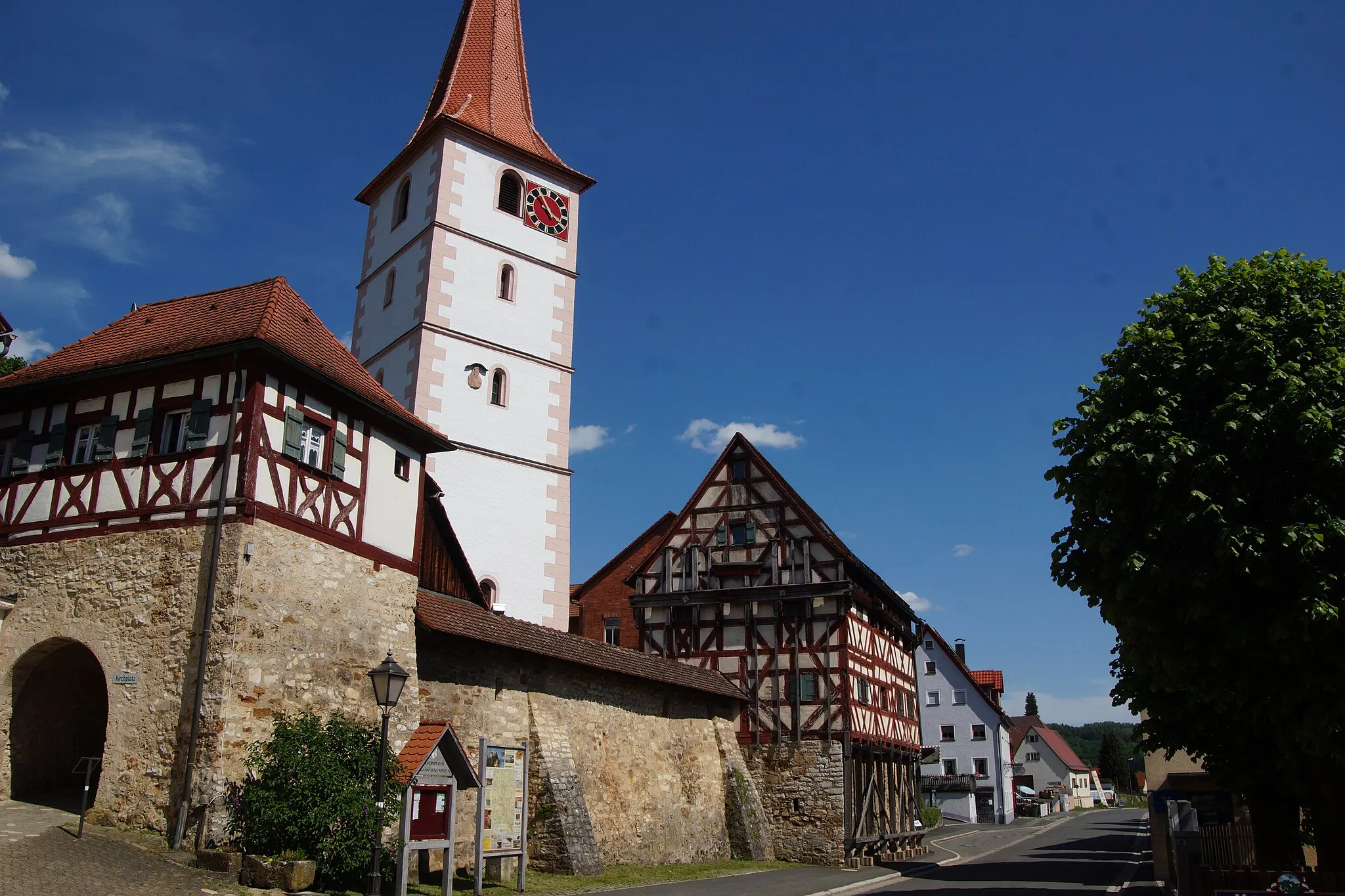
PinzbergVillageExplore Pinzberg, a charming hilltop village with stunning panoramic views and well-preserved half-timbered houses.
66 km
66 km
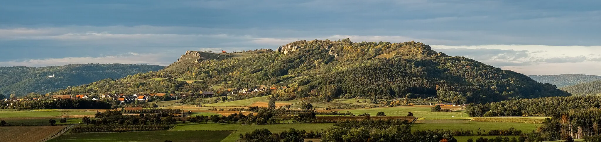
Rodenstein532 mPeakVisit Rodenstein, a historic castle perched on a hilltop and offering spectacular views of the Neunkirchen am Sand region.
78 km
78 km
Eberhardsberg533 mPeakExperience the beauty of Eberhardsberg, a picturesque hilltop village surrounded by lush green meadows and forests.
79 km
79 km
IgensdorfVillageIgensdorf, a charming Bavarian town known for its rustic architecture and charming atmosphere, is worth exploring during your ride.
90 km
90 km
ZiegelhütteHamletZiegelhütte, a scenic spot with a small stream and beautiful natural scenery, is perfect for a peaceful and relaxing break.
97 km
97 km
Finish: Neunkirchen am Sand Village centerNeunkirchen am Sand: Discover the beauty of Neunkirchen am Sand through its scenic cycling routes.
Cycling routes from Neunkirchen am Sand:
Simmelsdorf and Rothenberg Gravel Route Happurg Road Cycling Challenge Heroldsberg Scenic Road Ride The Gravel Challenge The Scenic Road Loop Simmelsdorf Gravel Adventure The Ultimate Road Challenge The Road Adventure Gravel Tour through Lauf an der Pegnitz and Kleinsendelbach Scenic Tour of Neunkirchen am Sand
Cycling routes nearby: