Discover Cycling Paradise in Mittelfranken, Germany
Cycling routes from Lauf an der Pegnitz
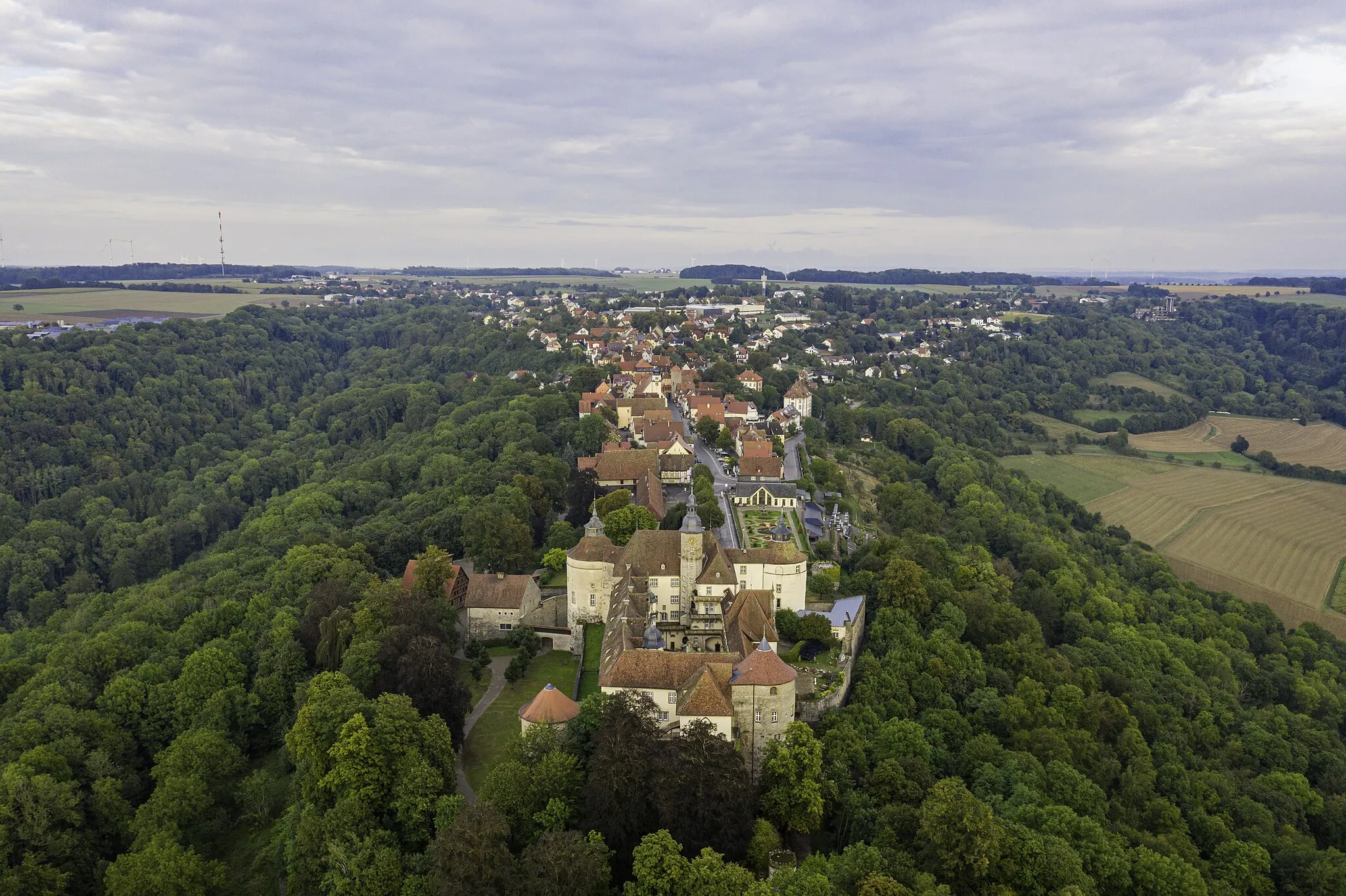
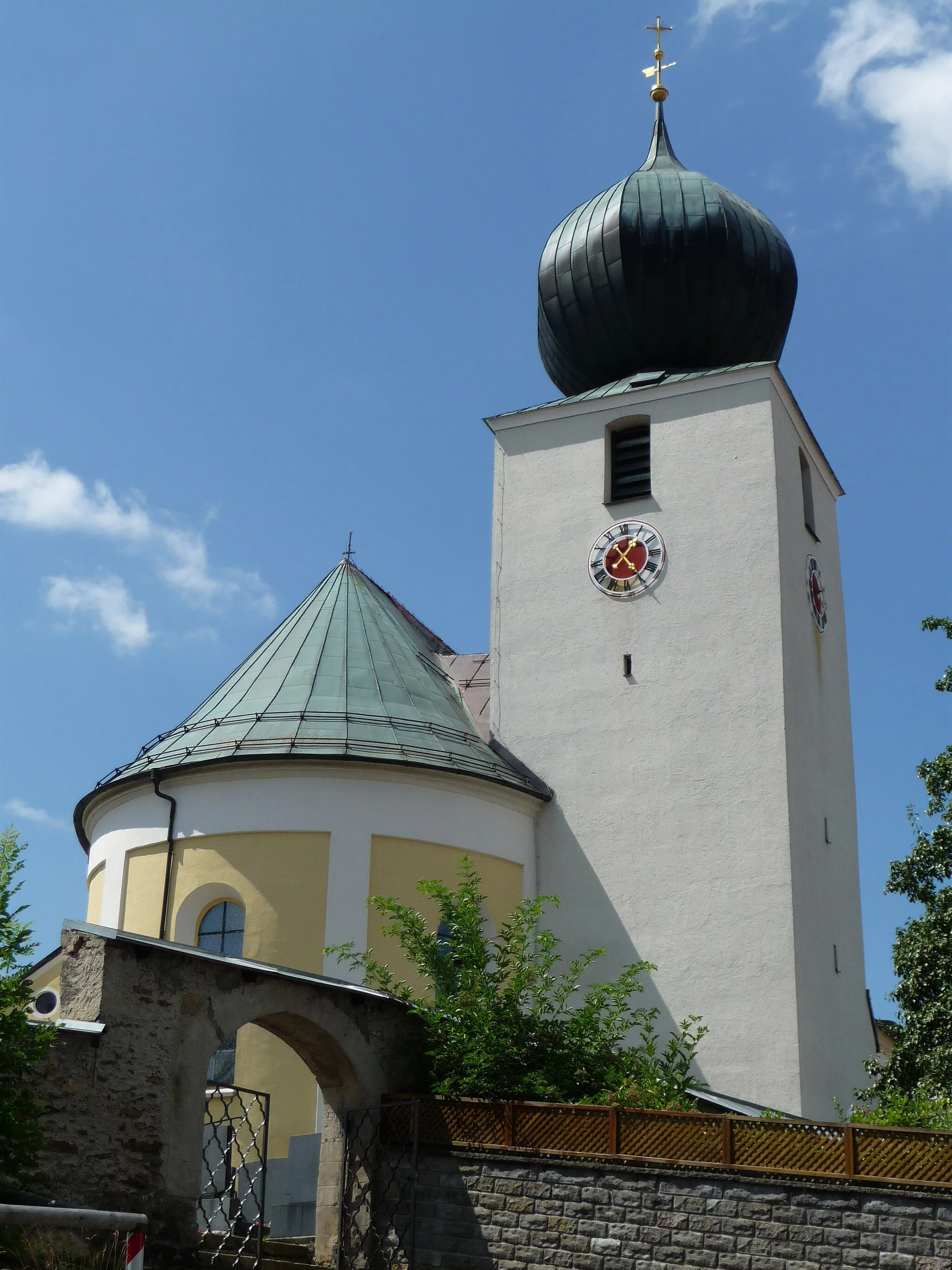
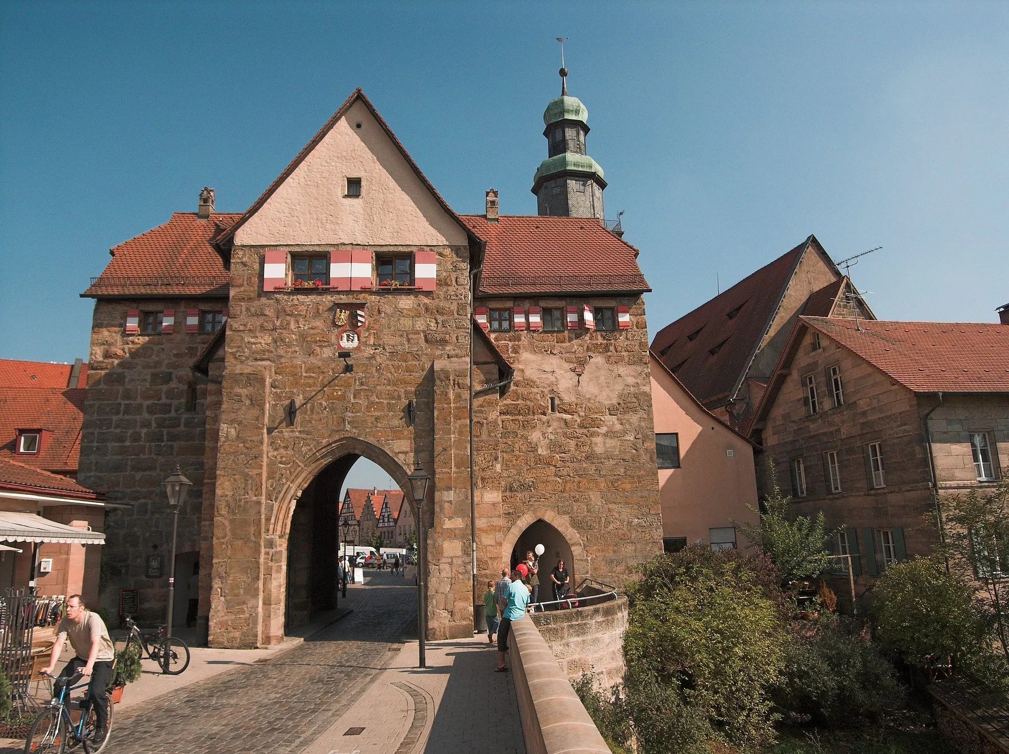
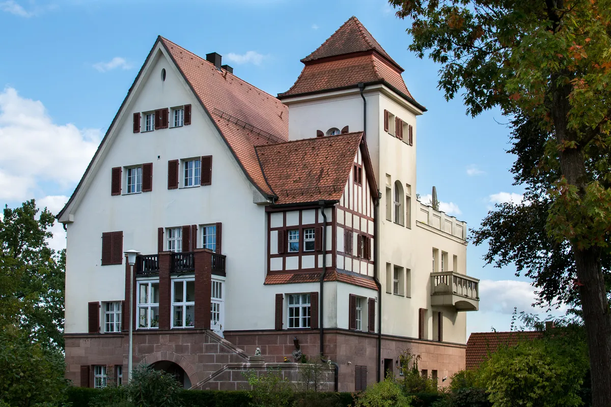
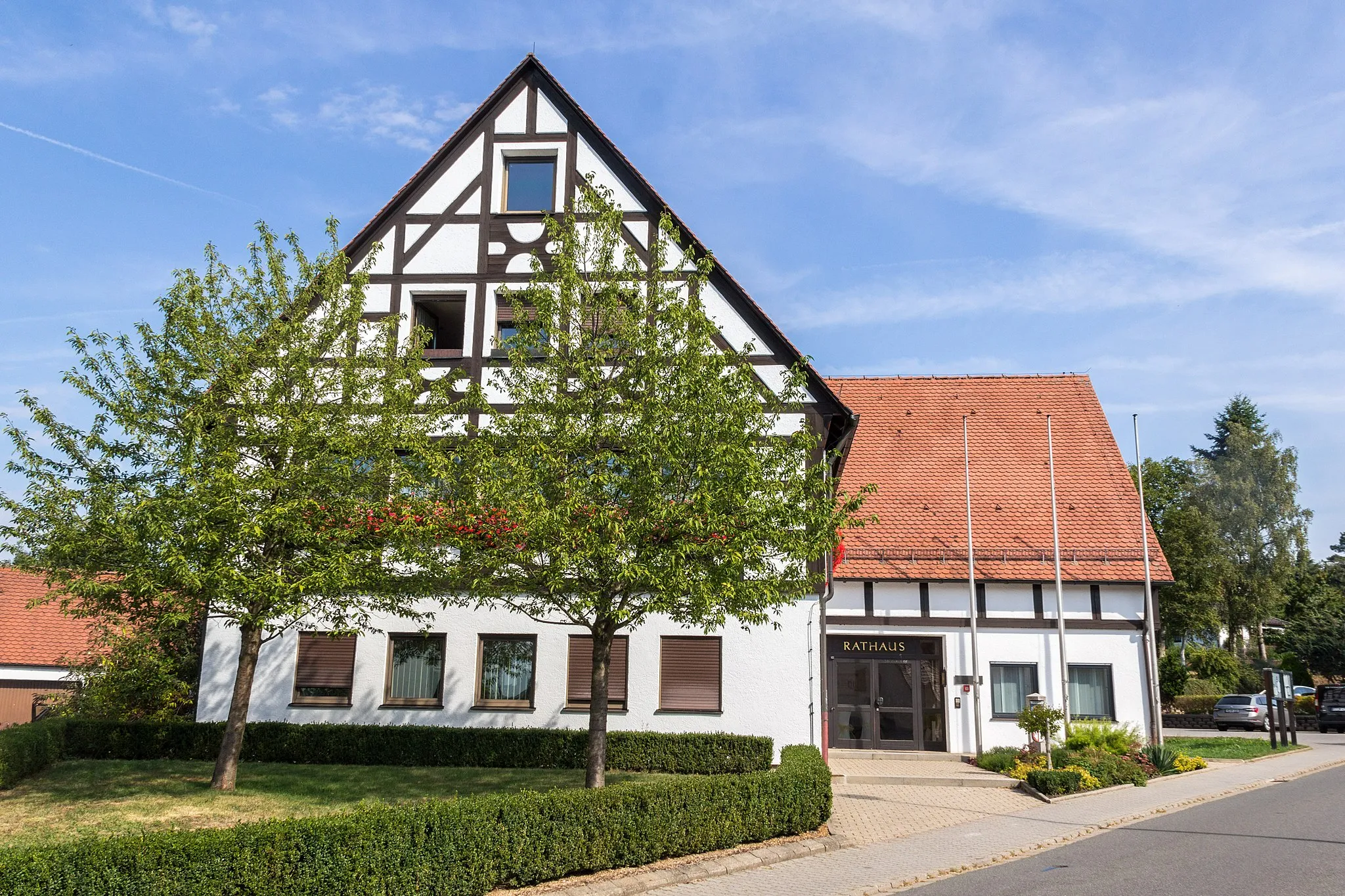
Lauf an der Pegnitz, located in Mittelfranken, Germany, is a charming locality that caters to the needs of all cycling enthusiasts. The region boasts a diverse range of cycling routes, including road and gravel trails, all set against a backdrop of stunning natural beauty. One of the major highlights for cyclists is the Schandlberg climb, a popular route known for its challenging inclines and breathtaking panoramic views. Lauf an der Pegnitz provides cyclist-friendly amenities such as bike rental services, repair shops, and cyclist-friendly accommodations. With its scenic landscapes and abundant cycling opportunities, Lauf an der Pegnitz is a top choice for those seeking outdoor adventure on their bikes.
Embark on an epic journey through challenging terrain
Get ready for an unforgettable adventure as you navigate through the undulating hills and picturesque countryside near Lauf an der Pegnitz. This round-trip cycling route is perfect for experienced riders looking for a challenging test of endurance and determination. With breathtaking landscapes and historic highlights along the way, this route promises an epic cycling experience in the heart of Germany.
Unveiling the Gravel Beauty

Discover the scenic gravel routes near Lauf an der Pegnitz
Satisfy your adventurous spirit with this gravel cycling route in the vicinity of Lauf an der Pegnitz. Suitable for experienced gravel riders, it showcases the stunning natural beauty of the region through challenging terrain and remote paths. With its unique mix of scenic landscapes and off-road exploration, this route is sure to leave a lasting impression on hardcore gravel enthusiasts.
The Adventurous Route

Embark on an adventurous gravel journey with scenic highlights
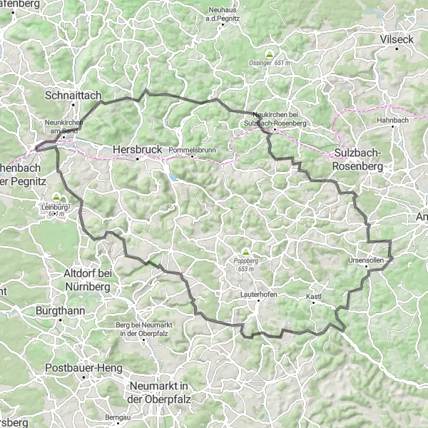
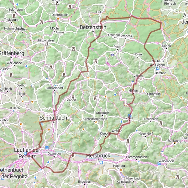
Get ready for an exciting gravel adventure starting at Lauf an der Pegnitz. This 86 km route with an ascent of 1205 meters is tailored for cyclists seeking thrilling off-road experiences. Explore the delightful village of Reichenschwand at 7 km, followed by the captivating Michelsberg at 11 km. Marvel at the picturesque Weigendorf at 23 km and the serene Trollberg at 28 km. Experience the beauty of Illschwang at 39 km and the stunning Ritzerberg at 43 km. Delve into the enchanting landscapes surrounding Poppberg at 50 km before reaching the scenic Raschbach at 67 km. Conclude your journey with challenging climbs up the Reuther Berg and reach the starting point at Lauf an der Pegnitz at 86 km.

Challenge your limits on a thrilling gravel adventure
Embark on an adrenaline-fueled gravel cycling route near Lauf an der Pegnitz, pushing your limits as you conquer challenging climbs and steep descents. This highly demanding route is reserved for expert gravel riders seeking an exceptional test of skill and endurance. With awe-inspiring landscapes along the way, conquer prominent climbs and celebrate magnificent triumphs on this ultimate cycling adventure.

Embark on a diverse cycling adventure with historical highlights
Immerse yourself in the rich history and natural beauty of the region with this round-trip cycling route near Lauf an der Pegnitz. Suitable for intermediate riders, it offers a mix of flat sections and moderate climbs, meandering through charming villages and magnificent landscapes. As you pedale, take a moment to appreciate the historical highlights that showcase the area's cultural heritage along the way.
The Scenic Road
Get ready for a scenic road journey through picturesque landscapes
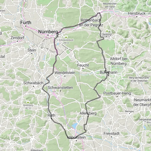
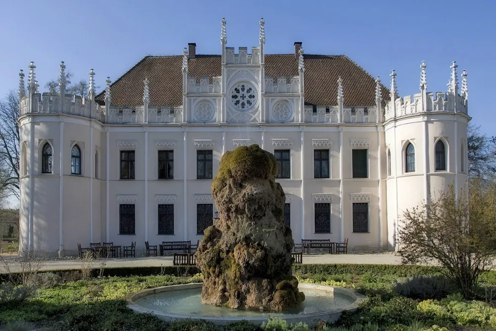
Prepare to be mesmerized by the stunning landscapes on this road cycling route starting from Lauf an der Pegnitz. Spanning 108 km with an ascent of 879 meters, this route will take you through rolling hills and picturesque towns. Discover the charm of Heiligenmühle at 9 km and soak in the beauty of Winkelhaid at 18 km. Enjoy the scenic Allersberg at 42 km and the breathtaking Steinerne Höhe at 61 km. Delight in the grandeur of Schloss Ratibor at 64 km and the tranquil beauty of Plöckendorf at 72 km. Admire the panoramic views from Eichenbühl at 84 km and Bug at 104 km before returning to the historic Lauf an der Pegnitz at 108 km.
Discover the countryside charm with picturesque highlights
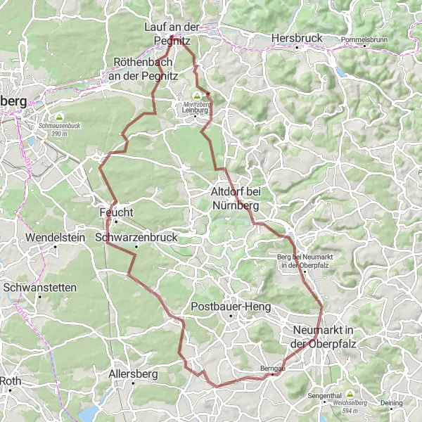
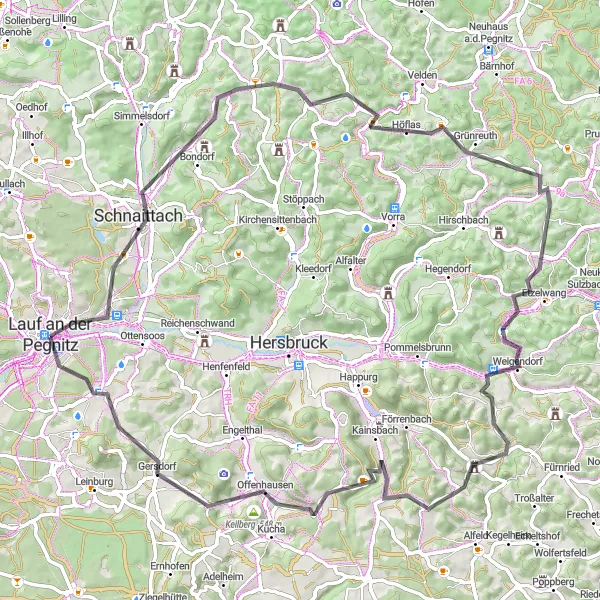
Experience the enchanting countryside charm with this gravel cycling route starting at Lauf an der Pegnitz. Covering a distance of 90 km with an ascent of 751 meters, this route takes you through scenic landscapes and picturesque towns. Marvel at the stunning Reuther Berg at 7 km and the tranquil beauty of Pühlhof at 10 km. Explore the historic town of Altdorf bei Nürnberg at 19 km and the captivating Neumarkt in der Oberpfalz at 35 km. Enjoy the breathtaking views from Staufer Berg at 38 km and Oberhembach at 58 km. Don't forget to visit the charming town of Feucht at 68 km and the famous Brunner Berg at 79 km.
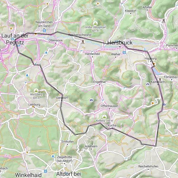
Experience the breathtaking beauty of the Franconian landscape on this thrilling gravel cycling route.
Get ready for a thrilling off-road adventure as you explore the picturesque countryside surrounding Lauf an der Pegnitz. This gravel cycling route takes you through stunning landscapes, charming villages, and historic landmarks. With a challenging ascent and a moderate distance, it's a great option for well-trained amateurs. Pedal your way through dense forests, rolling hills, and open meadows, and enjoy the peaceful atmosphere of the region. Along the way, you'll encounter several highlights, including the iconic Schloß Artelshofen and the impressive Beobachtungsturm observation tower. Whether you're a nature lover, history enthusiast, or simply seeking a thrilling cycling experience, this route promises to deliver.
Embark on a thrilling hilly adventure with stunning highlights
Challenge yourself with this hilly road cycling adventure starting at Lauf an der Pegnitz. Covering 82 km with an impressive ascent of 1507 meters, this route is designed for experienced cyclists seeking exhilarating challenges. Admire the charm of Hienberg at 12 km and Rupprechtstegen at 23 km as you conquer demanding ascents. Take in the breathtaking views from Platte at 25 km and Bocksberg at 33 km. Explore the unique landscapes surrounding Etzelwang at 39 km before reaching the scenic beauty of Hinterhaslach at 62 km. Conclude your journey with the thrilling climbs of the Reuther Berg and Reuth at 75 km and the final descent back to Lauf an der Pegnitz at 82 km.
Discover the lesser-known gems in the area
This round-trip cycling route takes you on a scenic journey near Lauf an der Pegnitz, exposing you to hidden treasures along the way. With a moderate difficulty level, it offers an enjoyable ride for most cyclists. Get ready to explore beautiful landscapes and uncover the rich history of the region.
Cycling routes nearby:


Nearby regions: