Hidden Treasures: A Loop near Lauf an der Pegnitz
A road cycling route starting from Lauf an der Pegnitz
Discover the lesser-known gems in the area
Map
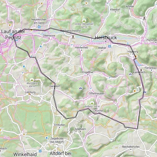
This round-trip cycling route takes you on a scenic journey near Lauf an der Pegnitz, exposing you to hidden treasures along the way. With a moderate difficulty level, it offers an enjoyable ride for most cyclists. Get ready to explore beautiful landscapes and uncover the rich history of the region.
road
49 km
578 m
Tough
Route profile
Highlights on the route
0 km
0 km
Start: Lauf an der Pegnitz City centerLauf an der Pegnitz: Discover Cycling Paradise in Mittelfranken, Germany
Lauf an der Pegnitz, located in Mittelfranken, Germany, is a charming locality that caters to the needs of all cycling enthusiasts. The region boasts a diverse range of cycling routes, including road and gravel trails, all set against a backdrop of stunning natural beauty. One of the major highlights for cyclists is the Schandlberg climb, a popular route known for its challenging inclines and breathtaking panoramic views. Lauf an der Pegnitz provides cyclist-friendly amenities such as bike rental services, repair shops, and cyclist-friendly accommodations. With its scenic landscapes and abundant cycling opportunities, Lauf an der Pegnitz is a top choice for those seeking outdoor adventure on their bikes.3 km
3 km
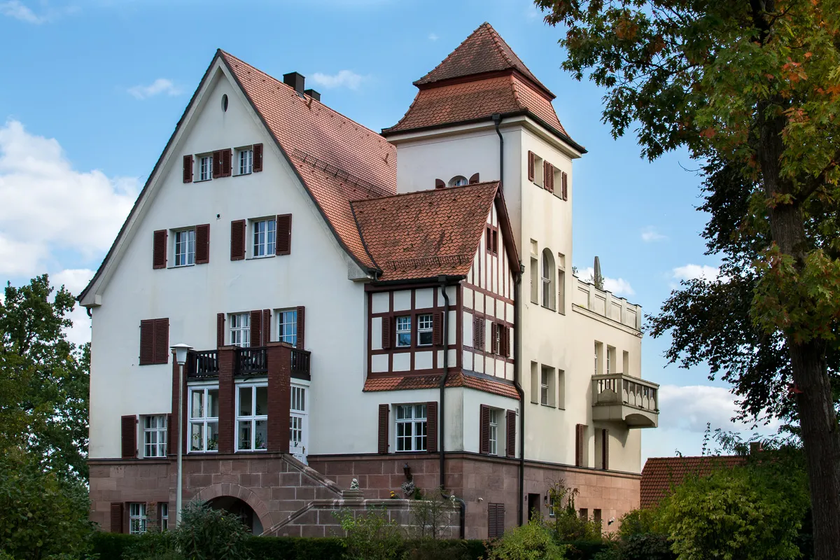
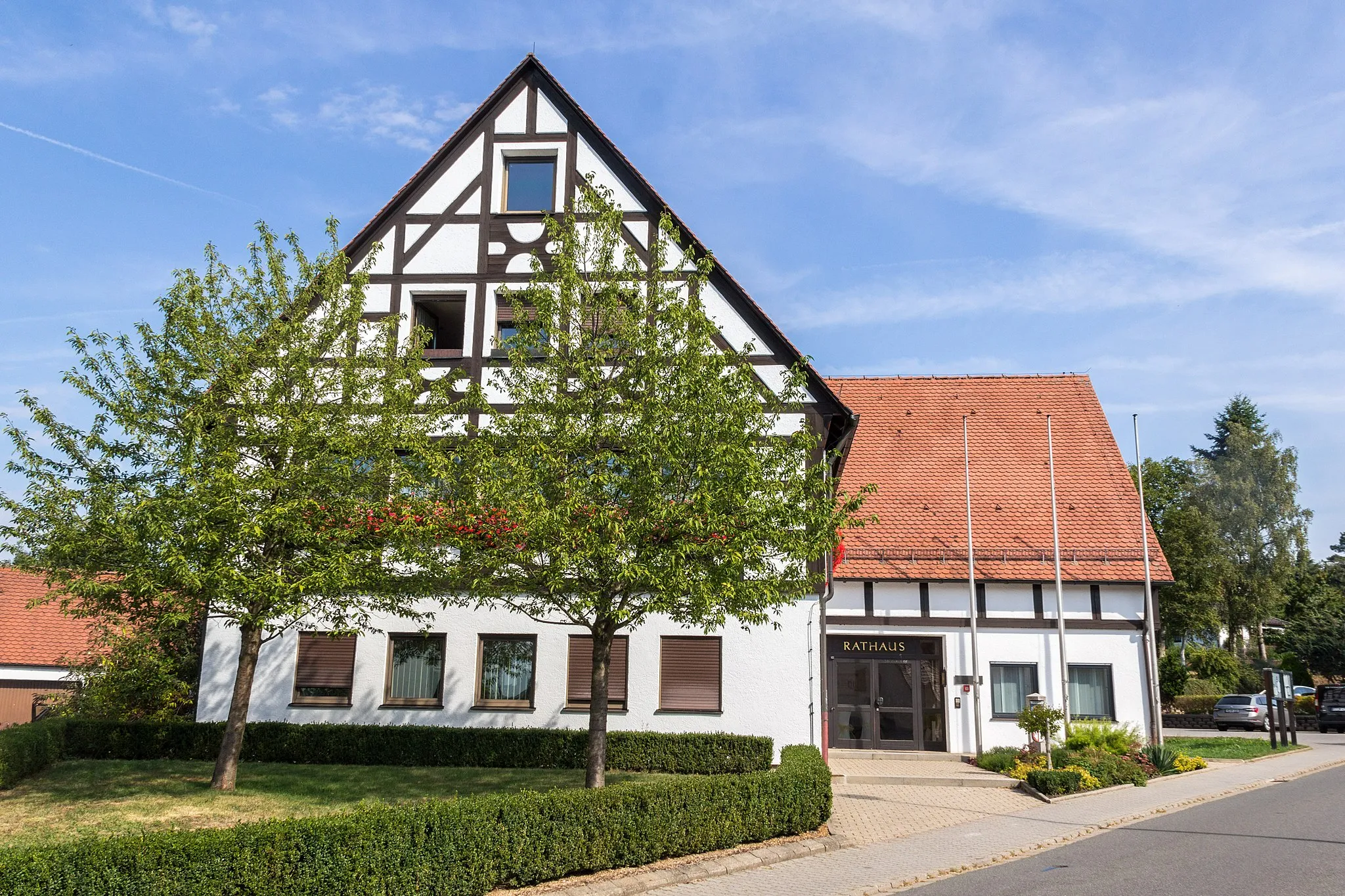
Neunkirchen am SandVillageMake a stop in Neunkirchen am Sand, a charming village with traditional half-timbered houses and a tranquil atmosphere.
11 km
11 km
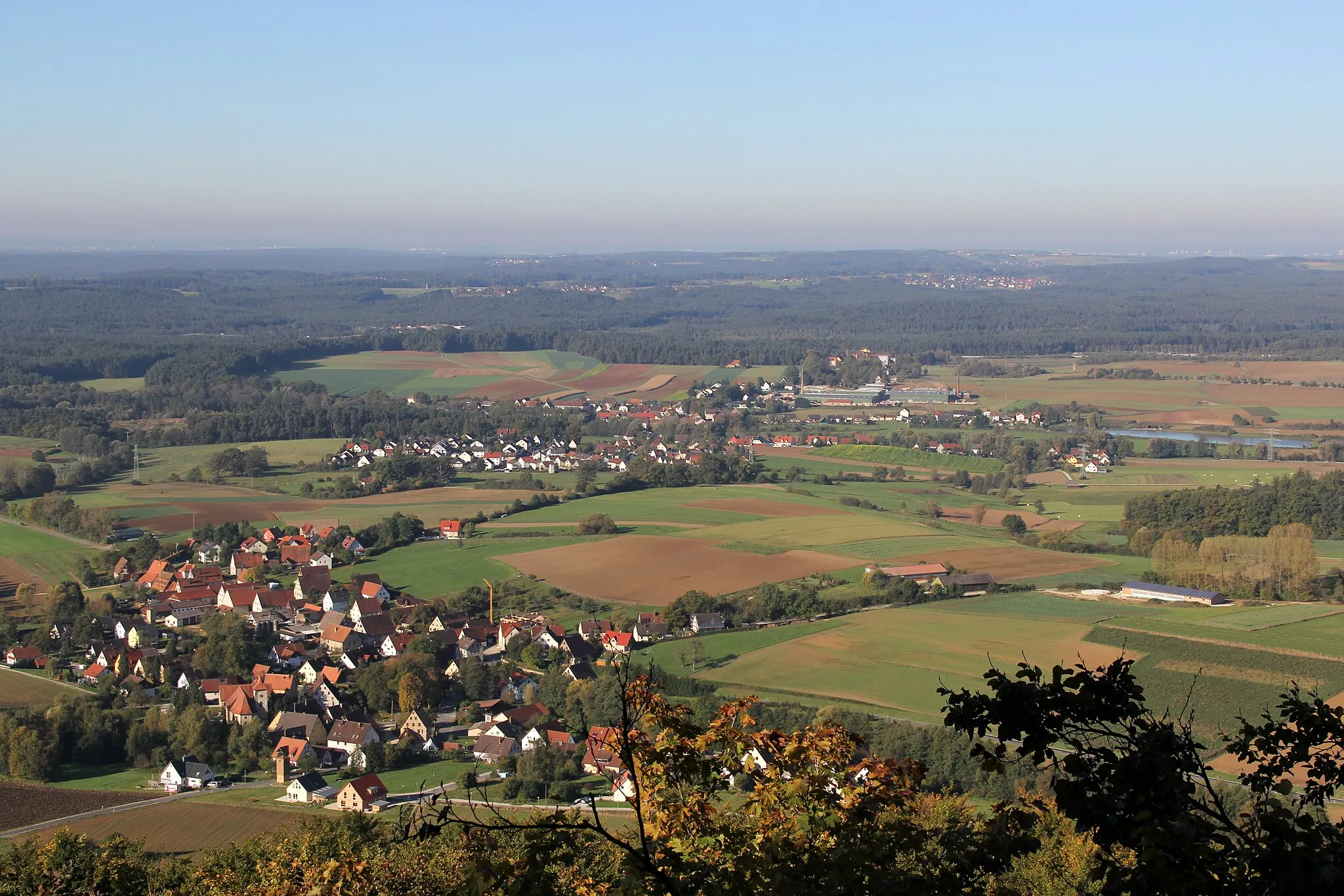
Michelsberg435 mPeak ViewpointClimb up Michelsberg to enjoy breathtaking panoramic views of the rolling hills and picturesque towns below.
16 km
16 km
DoggerstollenAttractionDiscover the Doggerstollen, a historic mine filled with fascinating stories from the region's mining past.
30 km
30 km
Asselberg554 mPeakChallenge yourself with the ascent of Asselberg, rewarded with magnificent vistas at the summit.
42 km
42 km
Reuther Berg538 mPeakConquer Reuther Berg, a challenging climb that offers a thrilling sense of accomplishment.
49 km
49 km
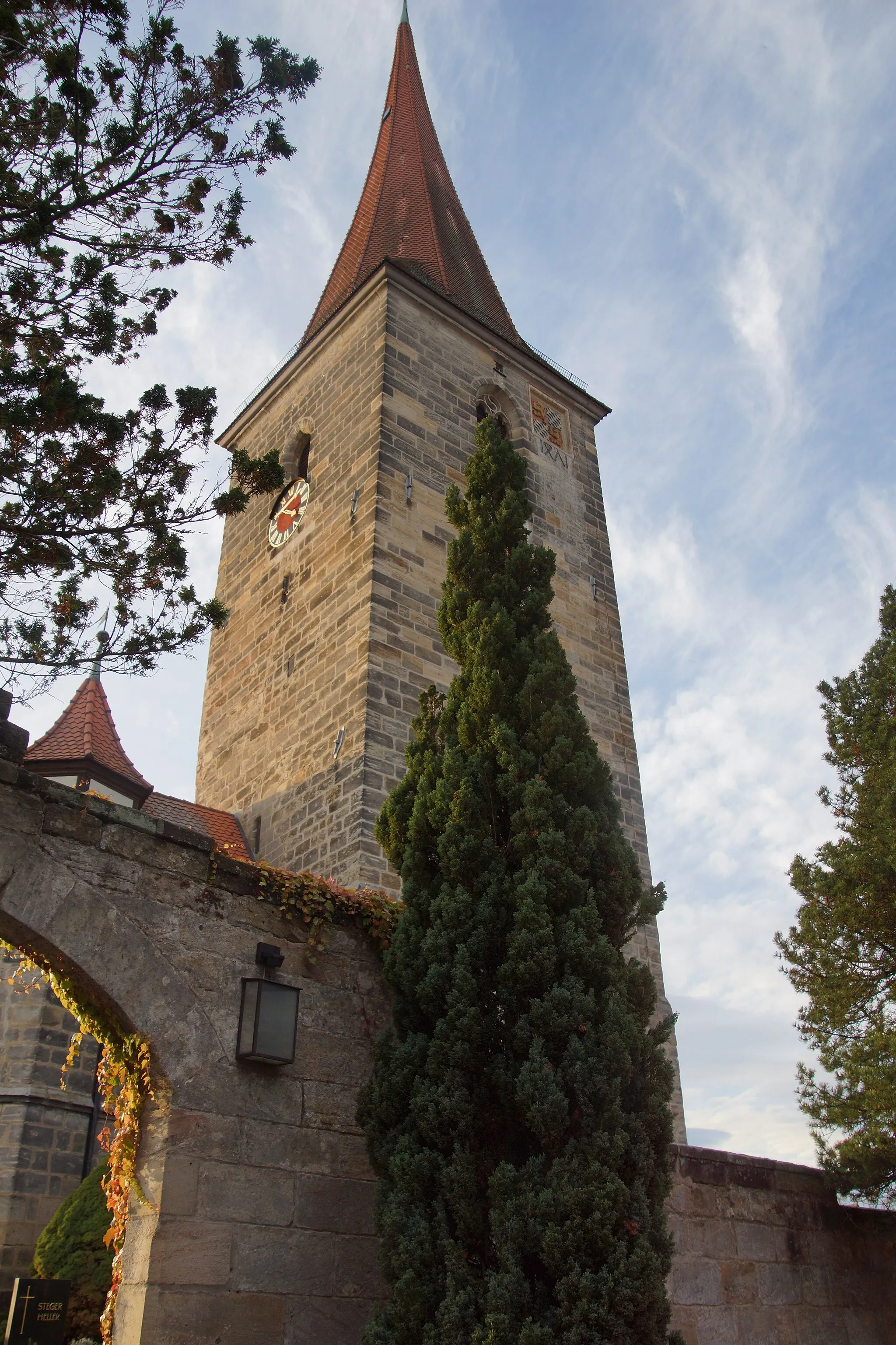
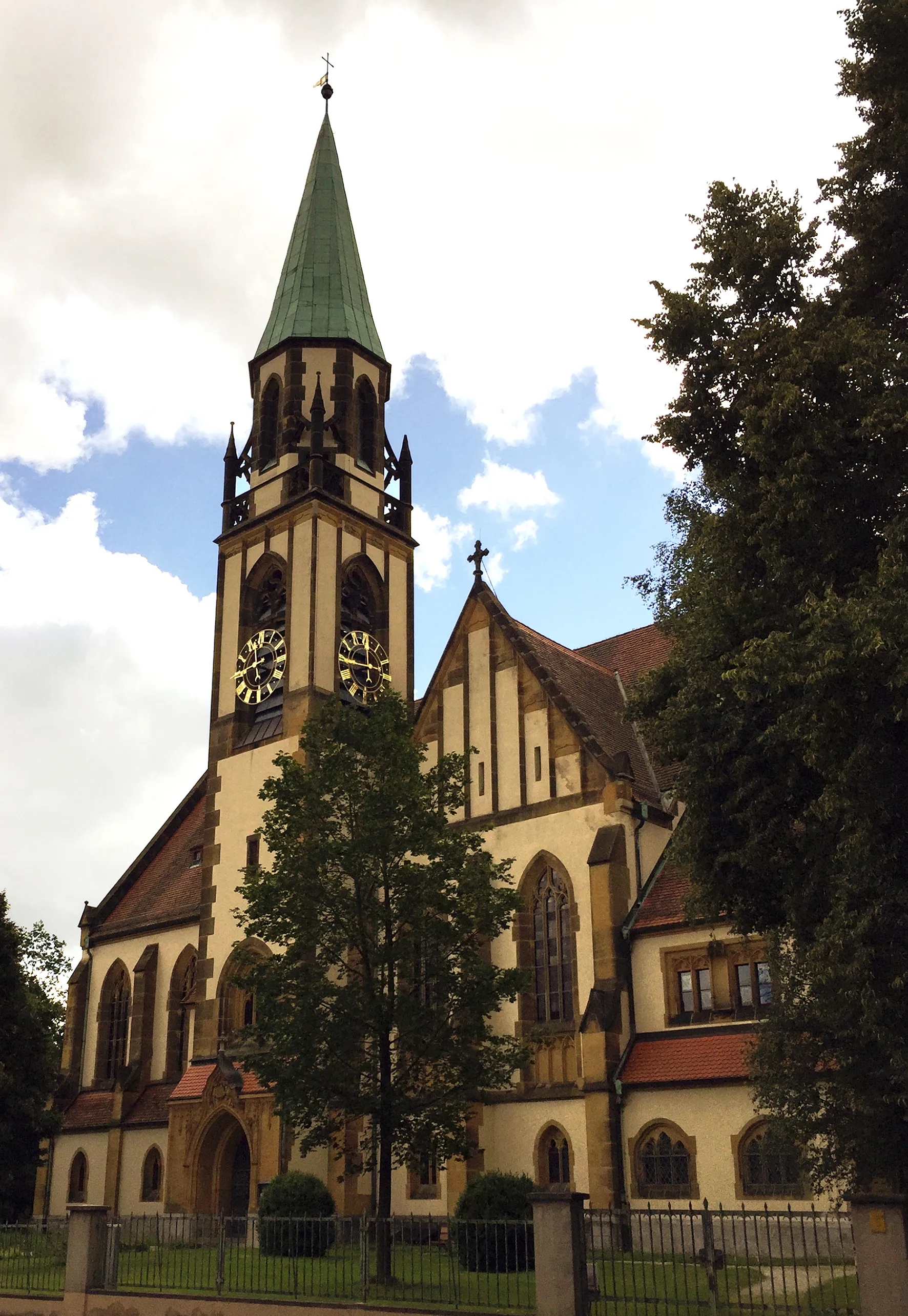
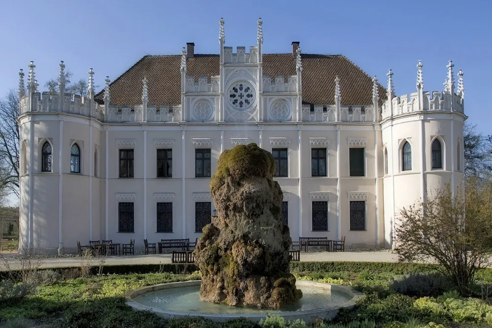
Lauf an der PegnitzTownVisit Lauf an der Pegnitz, a quaint town known for its architecture, historical sites, and riverfront charm.
49 km
49 km
Finish: Lauf an der Pegnitz City centerLauf an der Pegnitz: Discover Cycling Paradise in Mittelfranken, Germany
Cycling routes from Lauf an der Pegnitz:
The Gravel Adventure The Countryside Charm The Scenic Road The Hilly Adventure The Adventurous Route Hidden Treasures: A Loop near Lauf an der Pegnitz The Ultimate Adventure: Crossing the Hills A Journey through History and Nature Unveiling the Gravel Beauty The Gravel Grind: Conquer the Climes Scenic Gravel Adventure near Lauf an der Pegnitz
Cycling routes nearby: