Picturesque cycling paradise in Germany
Cycling routes from Ottensoos
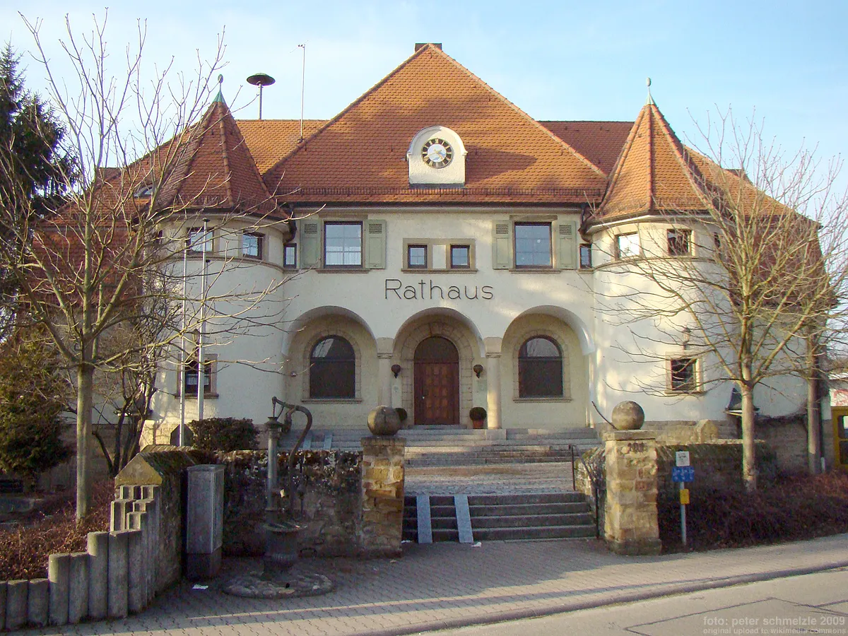
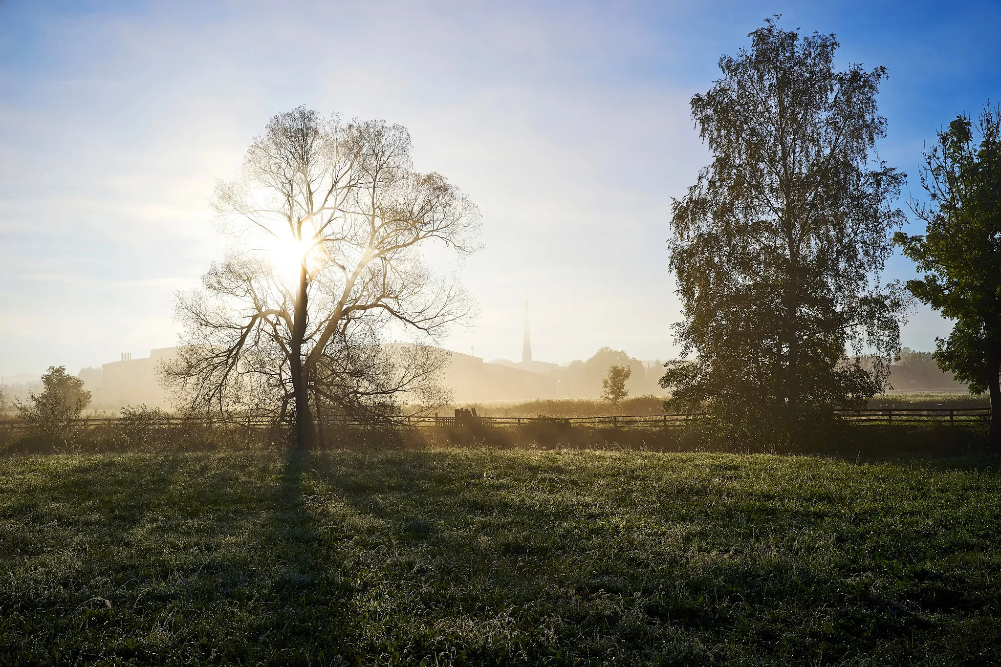
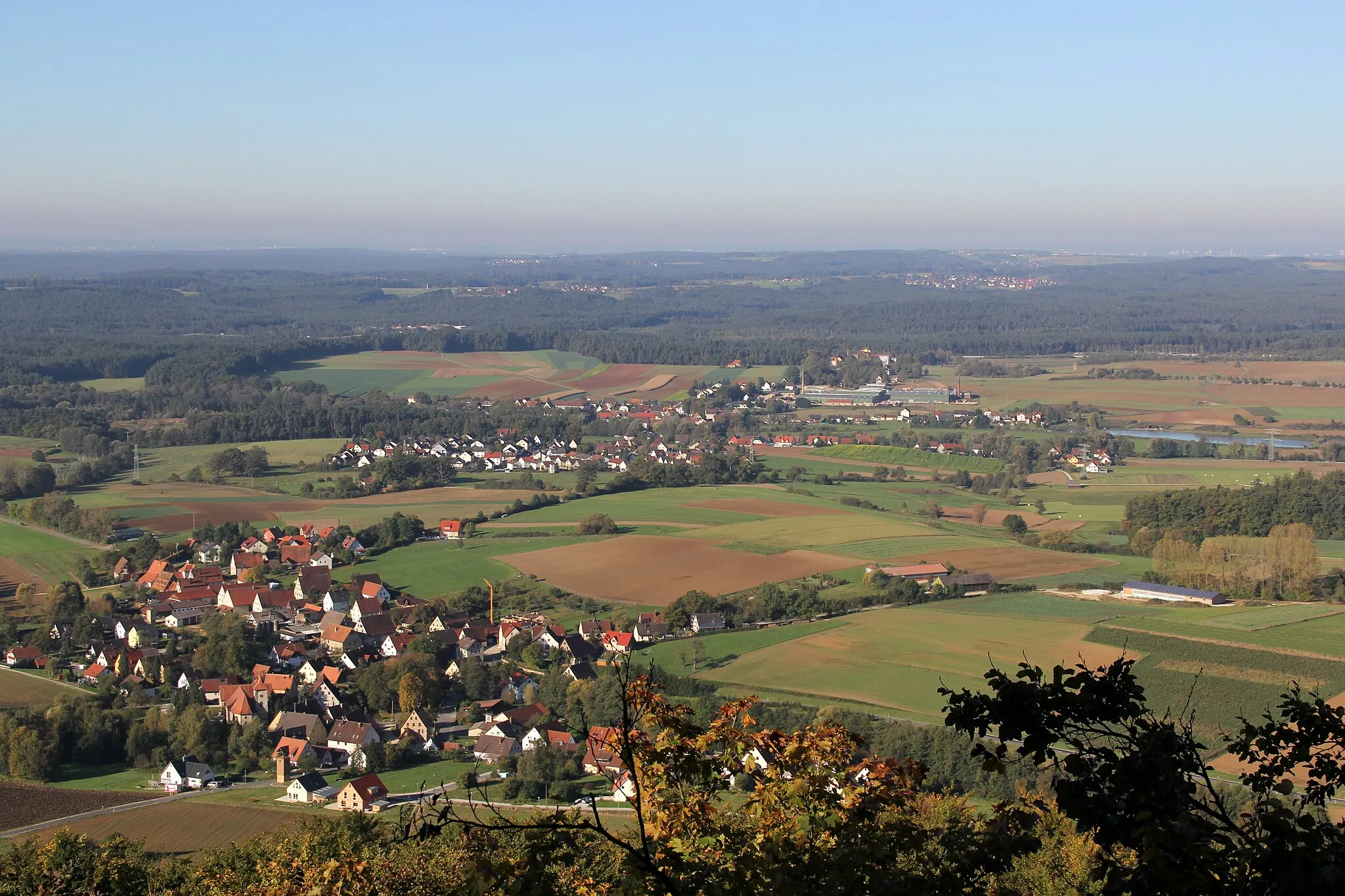
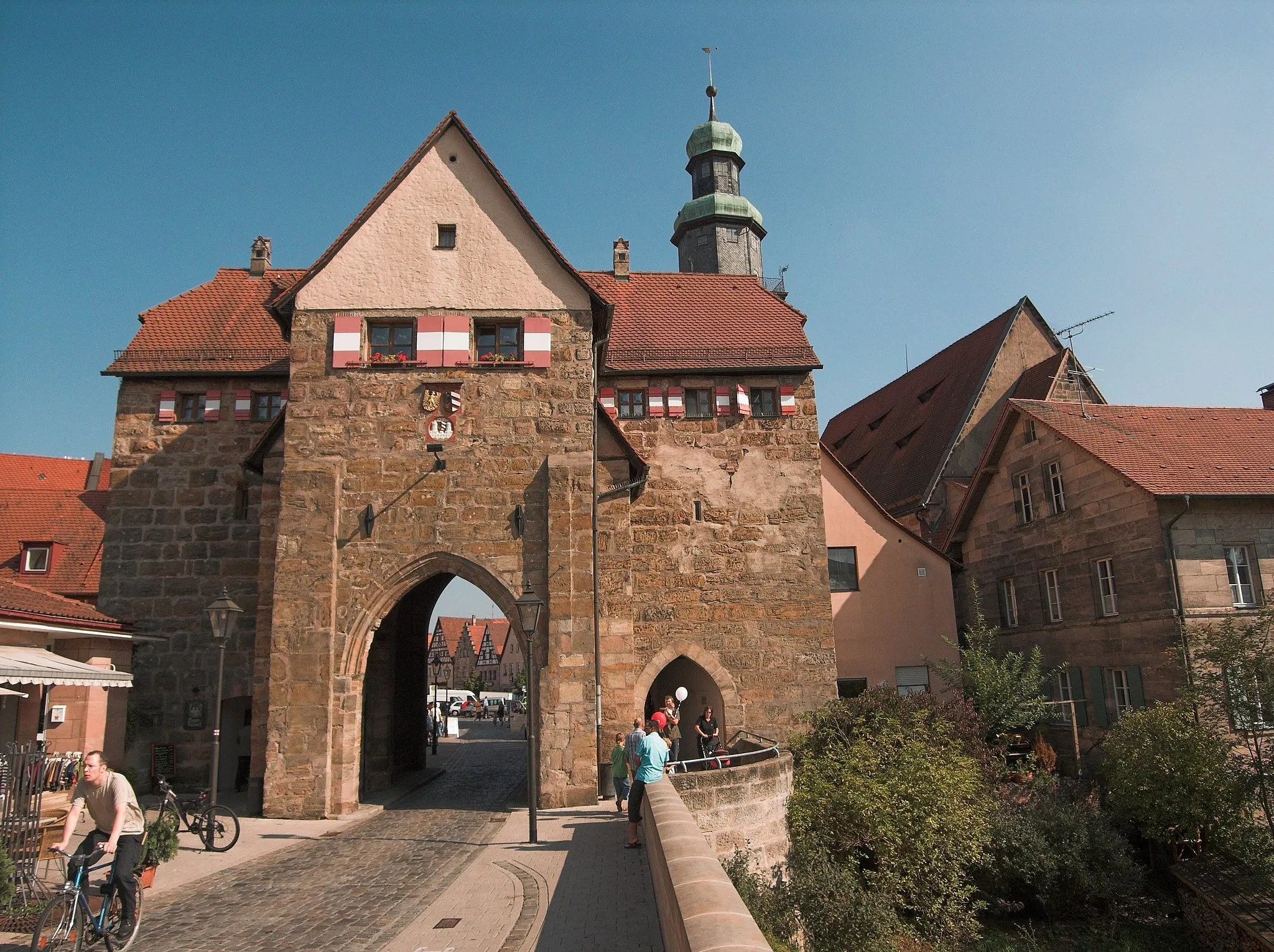
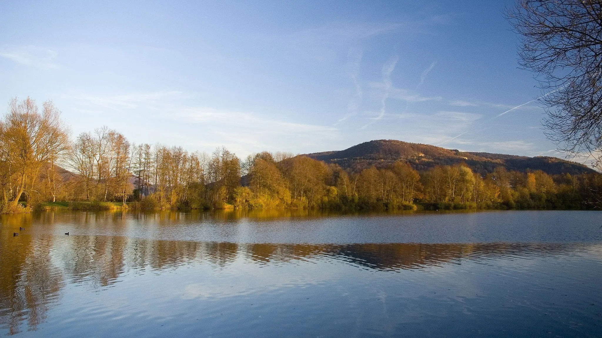
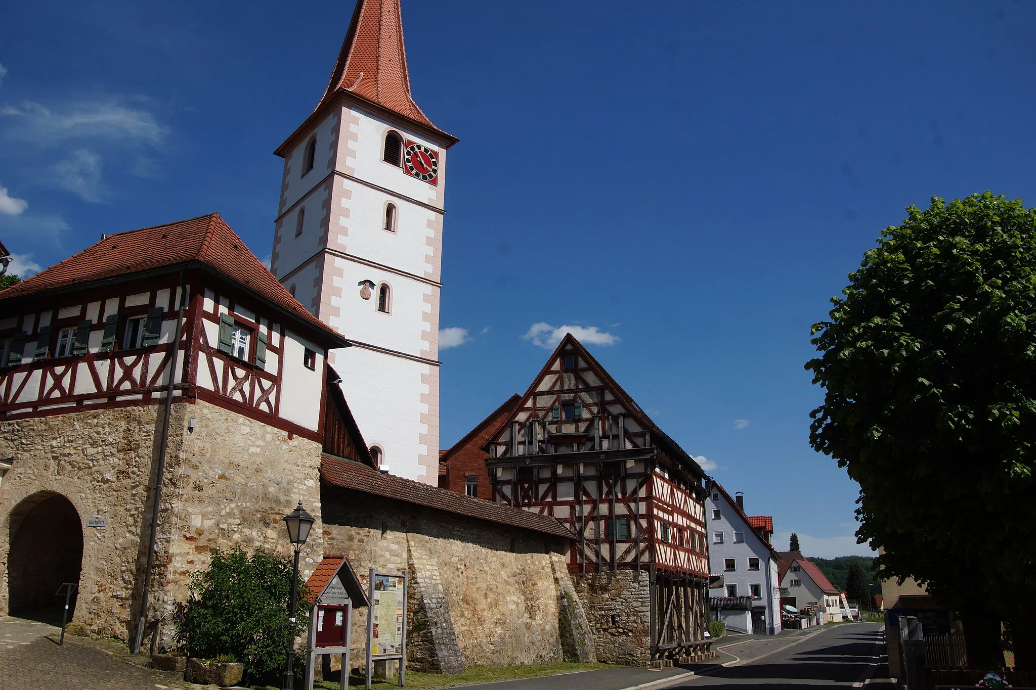
Ottensoos, situated in Mittelfranken, Germany, is a picturesque locality perfect for road and gravel cyclists. Surrounded by stunning landscapes of rolling hills, lush forests, and vineyards, Ottensoos offers an idyllic backdrop for cycling adventures. Cyclists can enjoy peaceful rides through the beautiful countryside and visit charming villages along the way. Notably, the nearby famous climb, Houbirg, is a popular spot for cyclists seeking a challenging ascent. With its scenic beauty and access to notable climbs, Ottensoos is a fantastic locale for cyclists looking for memorable rides.
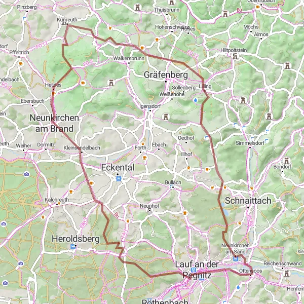
A challenging gravel route featuring the beauty of Hetzleser Berg and Kunreuth
Prepare for an exhilarating gravel adventure that will test your limits and reward you with breathtaking vistas. This challenging route takes you to the magnificent Hetzleser Berg and the charming village of Kunreuth. Experience the thrill of conquering demanding ascents and revel in the natural beauty of the Mittelfranken region.
The Hidden Gems
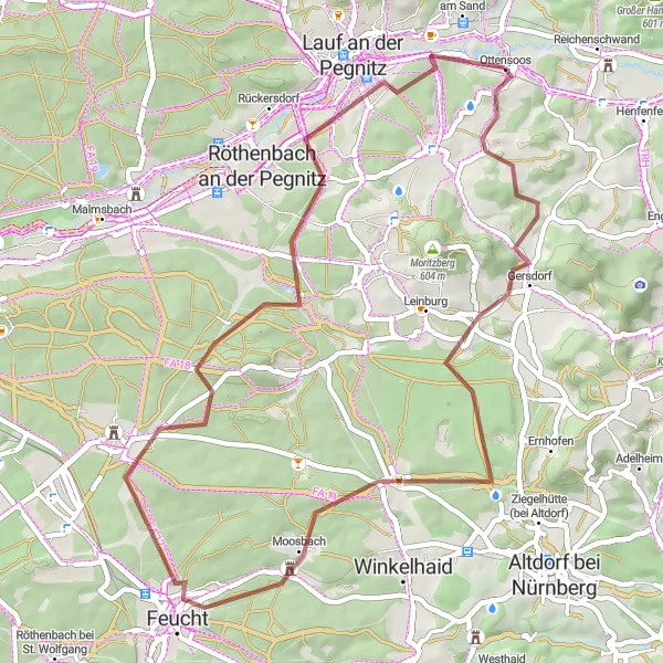
Unravel hidden gems on this gravel cycling route through Pötzling, Feucht, and Brunner Berg.
The Hidden Gems route offers a delightful gravel cycling adventure with 521 meters of ascent spread over 50 kilometers. As you explore the picturesque countryside, you'll discover hidden gems in Pötzling, Feucht, and Brunner Berg. This route is perfect for intermediate gravel riders who enjoy discovering off-the-beaten-track locations and beautiful landscapes. While not as challenging as some of the previous routes, it guarantees an enjoyable ride with interesting highlights along the way.
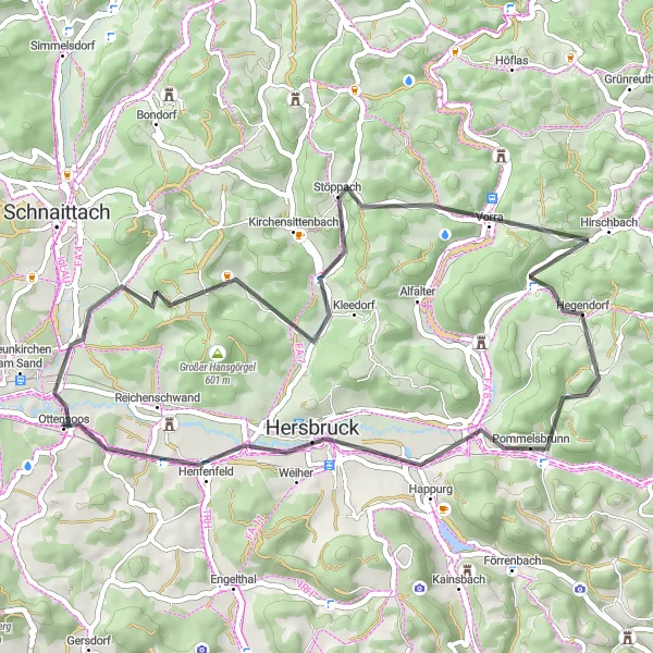
Admire the stunning Hirschbach valley while taking on this challenging road route.
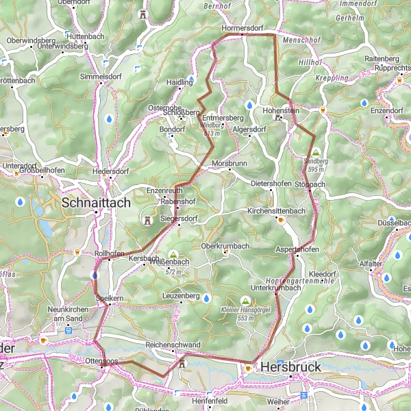
The Hirschbachtal route is a challenging road cycle with 787 meters of ascent over a distance of 47 kilometers. As you tackle the climbs, you'll be rewarded with breathtaking views of the Hirschbach valley. This route is perfect for experienced cyclists who enjoy tough uphill sections and scenic landscapes. Don't forget to stop by Glatzenstein, Oberkrumbach, Sandberg, Hirschbach, Herrenberg, and Henfenfeld, where you'll find interesting highlights along the way. The Hirschbach Loop offers a thrilling adventure for road cycling enthusiasts seeking both a physical and visual experience.
An exhilarating gravel ride with stunning views of Glatzenstein and Reichenschwand
This gravel route takes you on a thrilling adventure with breathtaking scenery. The ride is challenging but rewarding, offering a unique cycling experience in the Mittelfranken region of Germany. You'll encounter beautiful landscapes, including the majestic Glatzenstein rock formation and the picturesque town of Reichenschwand. The route is perfect for gravel enthusiasts who want to explore the area's natural beauty.
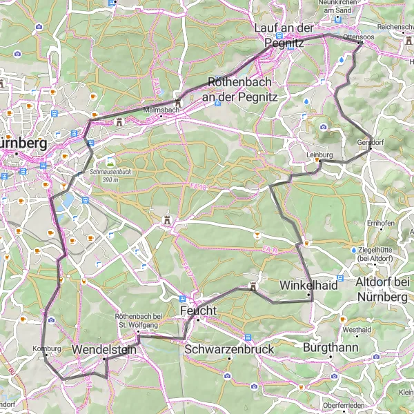
A road cycling adventure featuring the scenic beauty of Leinburg and the iconic Wendelstein mountain
Embark on a thrilling road cycling journey that combines stunning landscapes and challenging terrain. This route takes you through the captivating town of Leinburg, where you can immerse yourself in the local culture and enjoy the picturesque surroundings. As you continue your ride, the highlight awaits near the end - the legendary Wendelstein mountain. Conquer this iconic climb and reward yourself with breathtaking views from the summit.
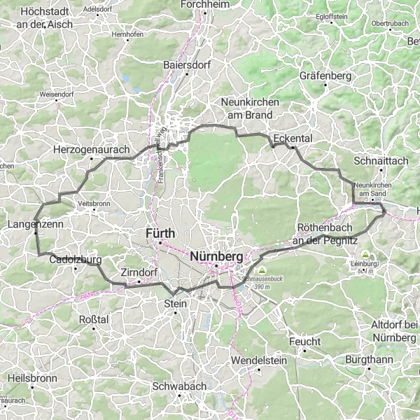
Embark on a breathtaking road cycling adventure exploring the landscapes near Nürnberg.
The Nürnberg Loop is an unforgettable road cycling route that spans 109 kilometers and covers 873 meters of ascent. This challenging journey takes you through a variety of landscapes, showcasing the beauty of the areas near Nürnberg. With highlights such as Schwaig bei Nürnberg, Eichelberg, Hainberg-Blick, Oberasbach, Cadolzburg, Aussichtsturm Cadolzburg, Langenzenn, Stockberg, Aussichtspunkt Wildschweingehege, Dormitz, and Neunkirchen am Sand, you'll have plenty of opportunities to immerse yourself in stunning surroundings. Designed for experienced cyclers seeking both a physical and visual adventure, the Nürnberg Loop offers a blend of excitement, natural wonders, and cultural treasures.
Schnaittach and Surroundings
Road cycling adventure through scenic landscapes near Ottensoos
Experience the beauty of Schnaittach and its surroundings on this road cycling route. With a distance of 56 km and an ascent of 799 m, you'll ride through picturesque villages and enjoy the rolling hills of Mittelfranken. Discover highlights like Sattelbogen, Plech, and Henfenfeld along the way.
Challenge your limits on this demanding road route, featuring multiple climbing sections.
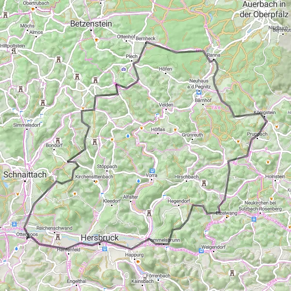
The Reichenschwand Challenge is an intense road cycling route that covers 1236 meters of ascent over a distance of 80 kilometers. This challenging ride is suitable for well-trained amateurs who are looking for an opportunity to push their limits. With its extensive climbing sections and rewarding descents, this route promises high levels of excitement and physical exertion. Highlights include Glatzenstein, Rothenberg, Weinberg, Plech, Mosenberg, Ossinger, Neutrasfelsen, Happurg, and Schloss Reichenschwand. Prepare yourself for an epic journey that will test both your strength and endurance.
Scenic Gravel Adventure

Explore the scenic beauty of Mittelfranken on this gravel route
Embark on a scenic gravel cycling adventure through the enchanting landscapes of Mittelfranken. With a distance of 75 km and an ascent of 876 m, you'll ride through idyllic villages and enjoy stunning views along the way. Highlights include Schmalzberg, Dormitz, and Rangener Berg.
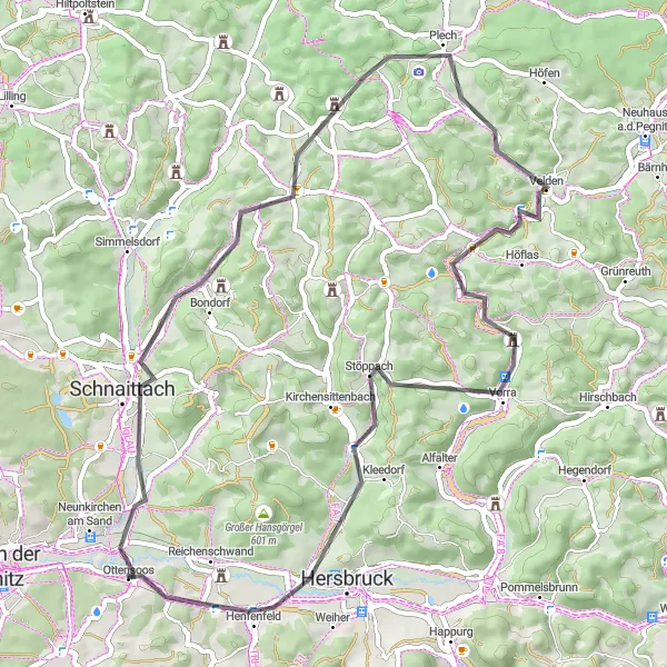
Challenging Gravel Route
A challenging gravel circuit with stunning landscapes
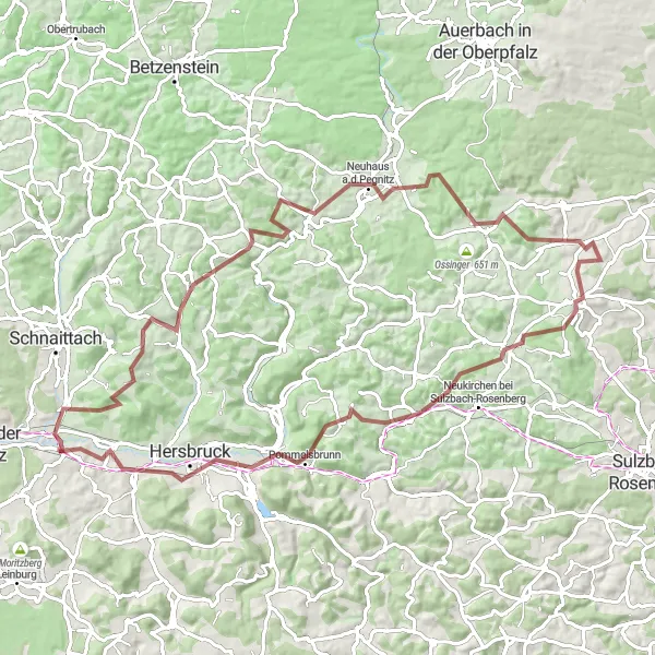
Get ready for a challenging gravel cycling adventure through beautiful landscapes near Ottensoos. This 84 km route with an ascent of 1470 m will test your endurance and reward you with breathtaking views. Highlights include Burg Veldenstein, Edelsfeld, and Happurg.
Cycling routes nearby:


Nearby regions: