The Gravel Challenge
A gravel cycling route starting from Neunkirchen am Sand
Experience the thrill of gravel cycling through hills and forests
Map
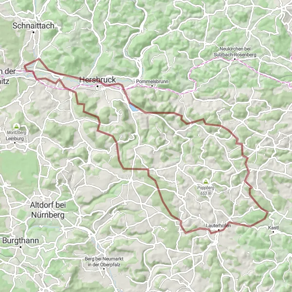
This route offers a thrilling gravel cycling adventure through the beautiful hills and forests near Neunkirchen am Sand. With a total ascent of 1361 meters and a distance of 82 kilometers, it is suitable for well-trained amateur cyclists. The epicness of the route is rated at 4, making it an exciting and challenging ride. Highlights along the route include Happurg, a charming village located 14 kilometers from the start, Hohler Fels, a stunning rock formation with historical significance, and Grasanger, a peaceful nature reserve with picturesque views.
gravel
82 km
1361 m
Tough
Route profile
Highlights on the route
0 km
0 km
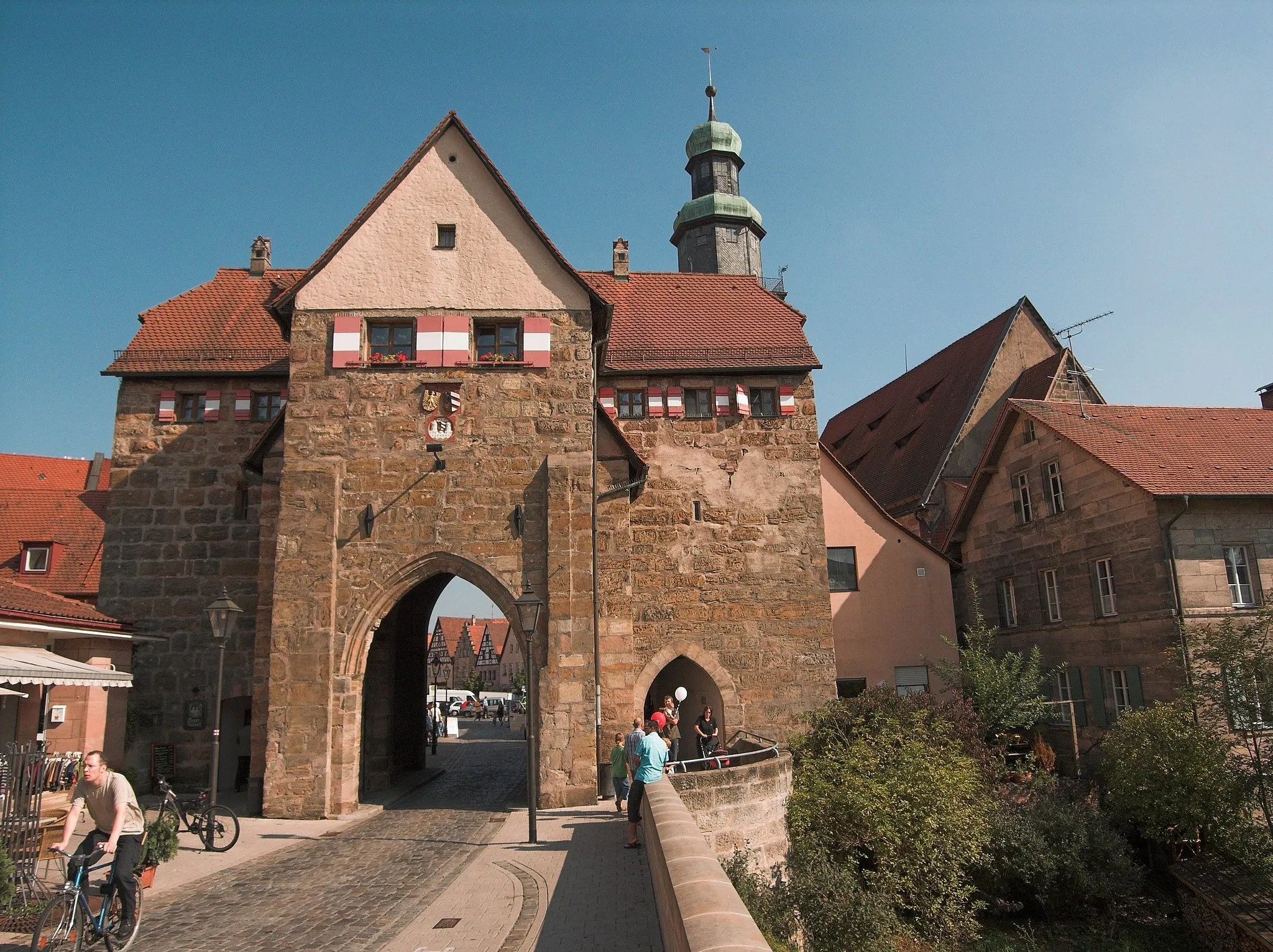
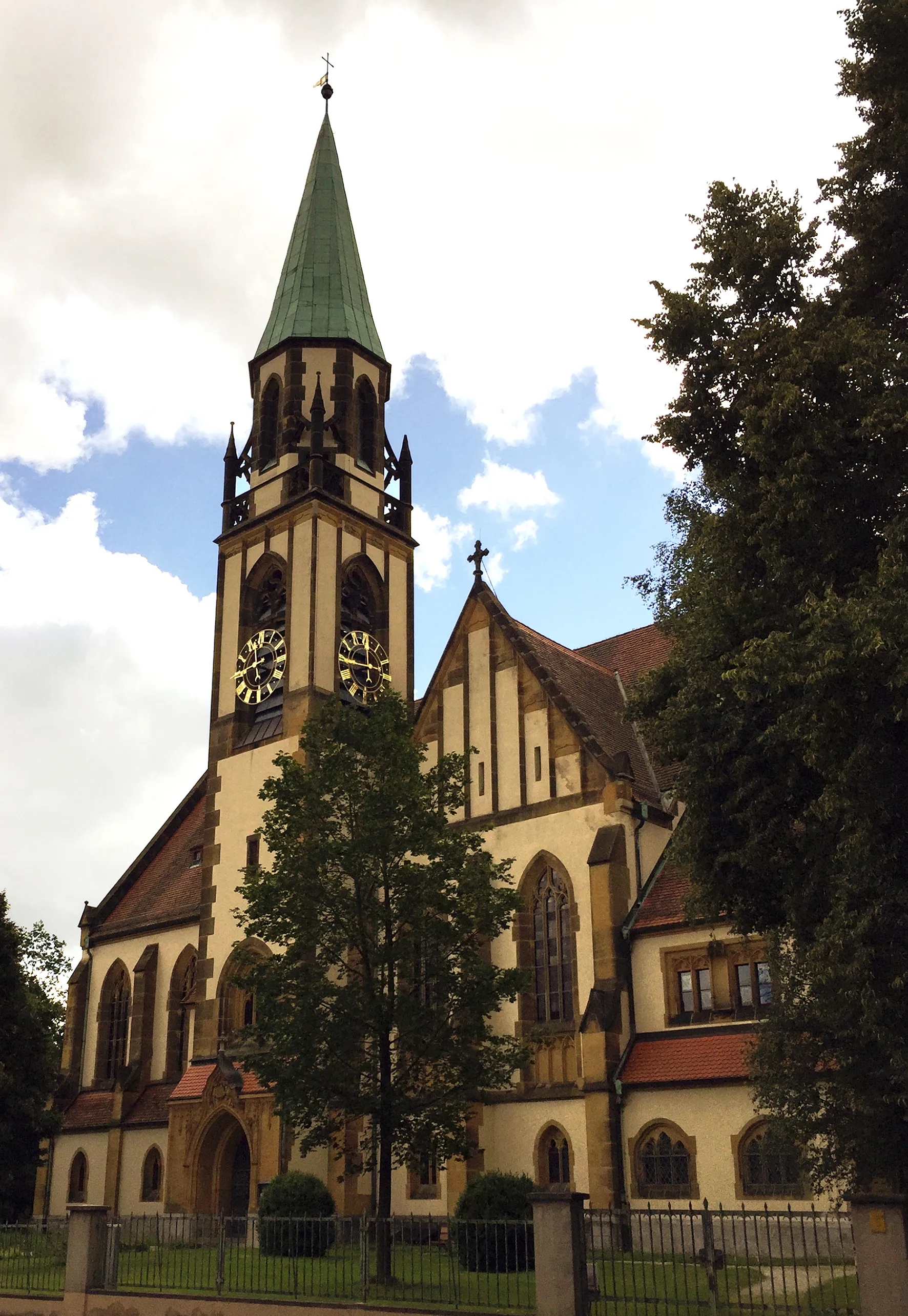
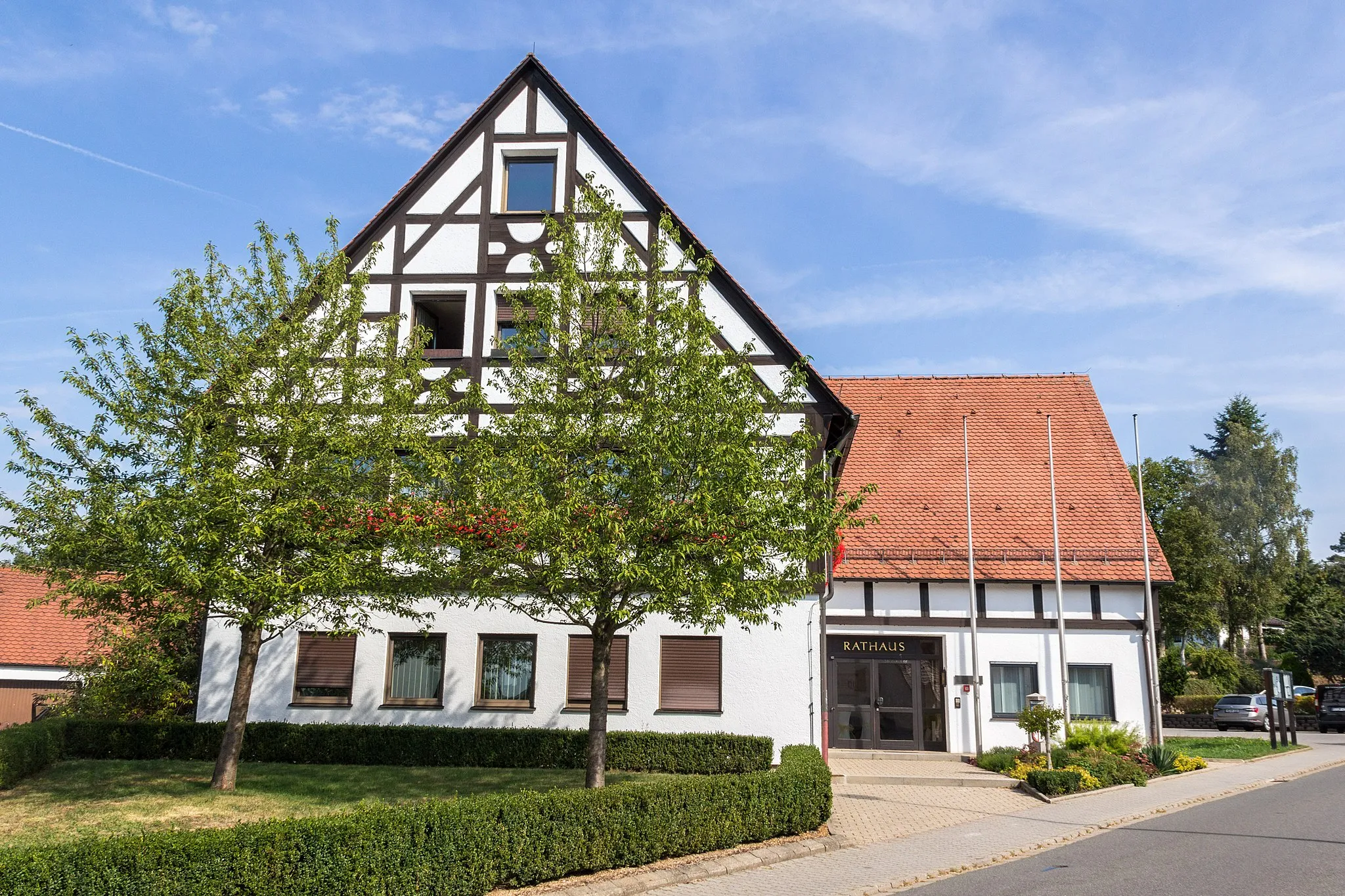
Start: Neunkirchen am Sand Village centerNeunkirchen am Sand: Discover the beauty of Neunkirchen am Sand through its scenic cycling routes.
Neunkirchen am Sand, located in Mittelfranken, Germany, offers a variety of cycling opportunities. The region boasts scenic routes that wind through picturesque countryside and charming villages. Road and gravel cyclists can enjoy a peaceful and tranquil ride, away from busy traffic. Cyclists can also explore nearby attractions such as the Franconian Switzerland Nature Park, which offers stunning natural landscapes and well-known climbs for experienced riders.14 km
14 km
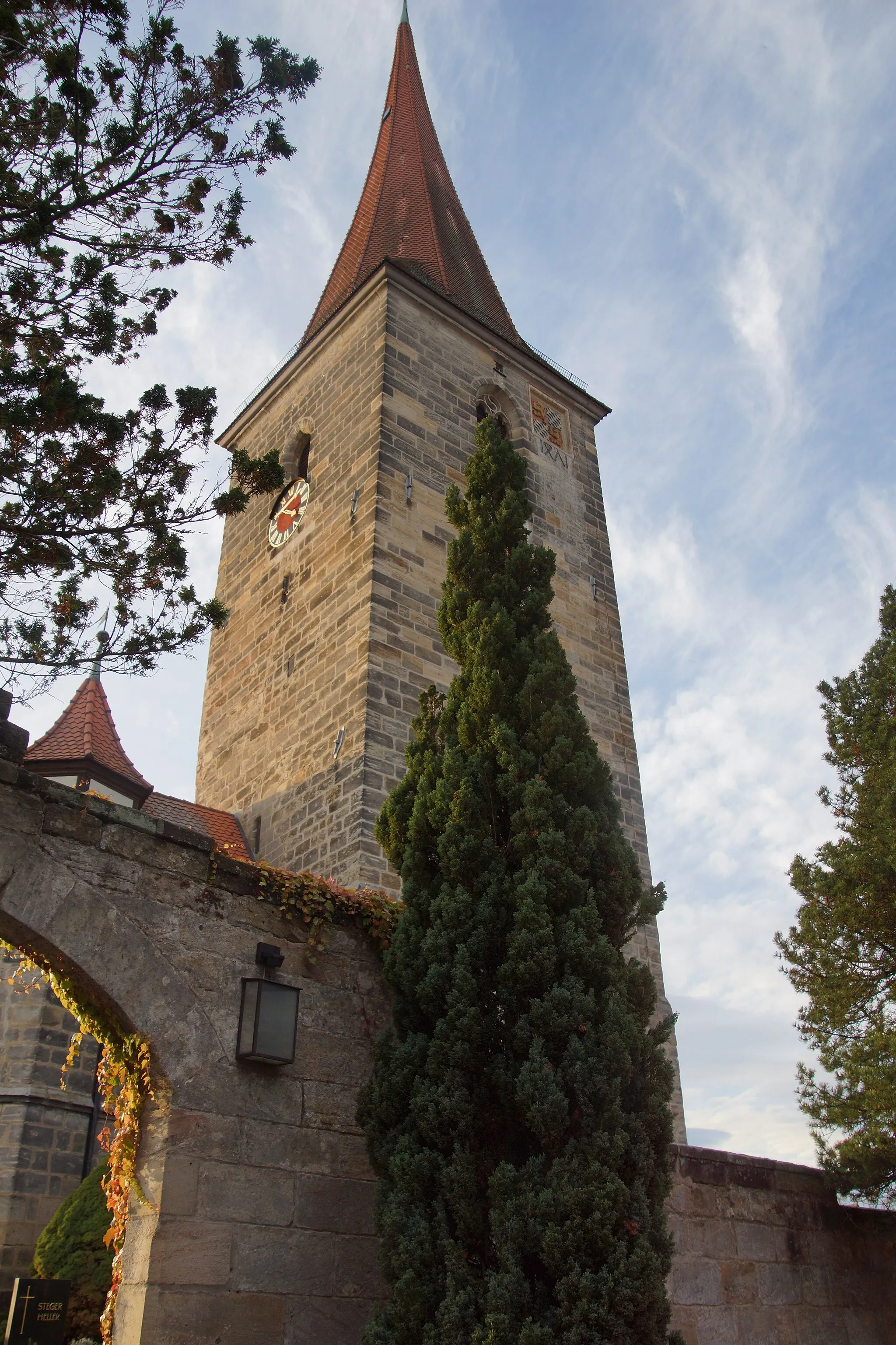
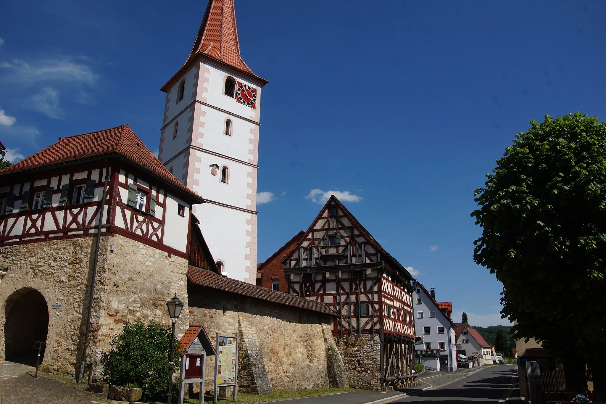
HappurgVillageVisit Happurg, a charming village known for its historic architecture and scenic beauty.
16 km
16 km
Hohler FelsViewpointExplore Hohler Fels, a unique rock formation that boasts stunning views and ancient caves.
27 km
27 km
Grasanger563 mPeakDiscover Grasanger, a tranquil nature reserve filled with diverse wildlife and scenic hiking trails.
46 km
46 km
LauterhofenVillageExperience Lauterhofen, a small town with a rich history and beautiful architecture.
50 km
50 km
Haunberg637 mPeakClimb Haunberg and enjoy panoramic views of the surrounding countryside.
70 km
70 km
Reschenberg530 mPeakStop by Reschenberg, a picturesque village nestled along the route, and admire its traditional Bavarian charm.
74 km
74 km
HenfenfeldVillagePass through Henfenfeld, a quaint Bavarian town with well-preserved medieval architecture.
82 km
82 km
Finish: Neunkirchen am Sand Village centerNeunkirchen am Sand: Discover the beauty of Neunkirchen am Sand through its scenic cycling routes.
Cycling routes from Neunkirchen am Sand:
Simmelsdorf and Rothenberg Gravel Route Happurg Road Cycling Challenge Heroldsberg Scenic Road Ride The Gravel Challenge The Scenic Road Loop Simmelsdorf Gravel Adventure The Ultimate Road Challenge The Road Adventure Gravel Tour through Lauf an der Pegnitz and Kleinsendelbach Scenic Tour of Neunkirchen am Sand
Cycling routes nearby: