The Ultimate Road Challenge
A road cycling route starting from Neunkirchen am Sand
Conquer the ultimate road cycling challenge through hills and valleys
Map
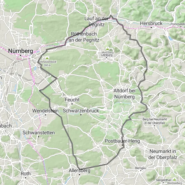
This road cycling route near Neunkirchen am Sand is not for the faint-hearted, offering an epic challenge with its hilly terrain and breathtaking scenery. With a total ascent of 845 meters and a distance of 97 kilometers, it is suitable for experienced and well-trained cyclists seeking a strenuous adventure. The difficulty level is rated at 4, demanding a high level of physical fitness and endurance. Highlights on this challenging route include Ottensoos, a small village with idyllic charm, Keilberg, a picturesque mountain pass with stunning vistas, and Bug, a quaint Bavarian town known for its historic architecture and friendly locals.
road
97 km
845 m
Tough
Route profile
Highlights on the route
0 km
0 km
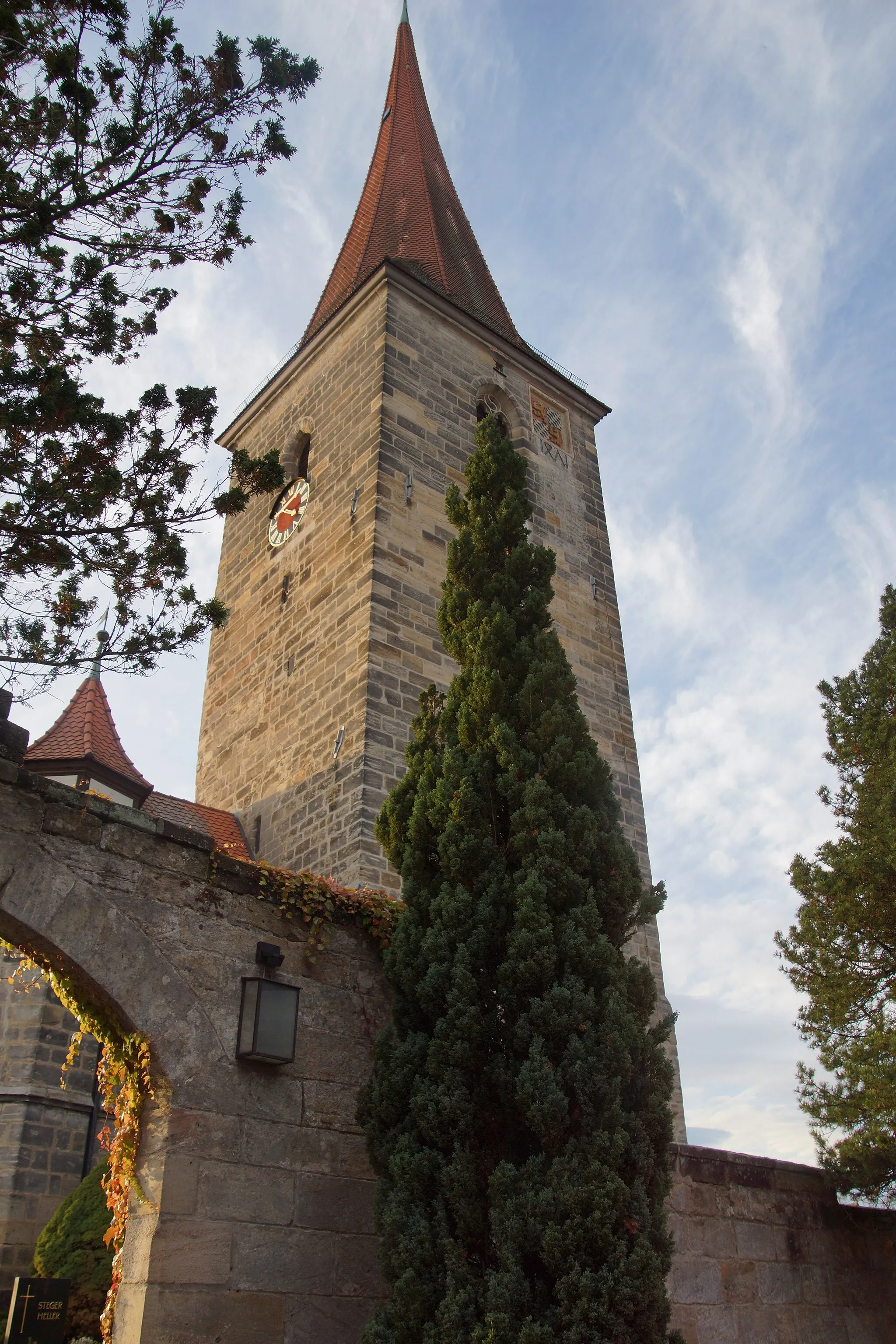
Start: Neunkirchen am Sand Village centerNeunkirchen am Sand: Discover the beauty of Neunkirchen am Sand through its scenic cycling routes.
Neunkirchen am Sand, located in Mittelfranken, Germany, offers a variety of cycling opportunities. The region boasts scenic routes that wind through picturesque countryside and charming villages. Road and gravel cyclists can enjoy a peaceful and tranquil ride, away from busy traffic. Cyclists can also explore nearby attractions such as the Franconian Switzerland Nature Park, which offers stunning natural landscapes and well-known climbs for experienced riders.2 km
2 km
OttensoosVillagePass through Ottensoos and admire the traditional Bavarian architecture of this charming village.
14 km
14 km
Keilberg548 mPeakConquer the Keilberg mountain pass, a challenging climb that rewards you with breathtaking views of the surrounding landscape.
36 km
36 km
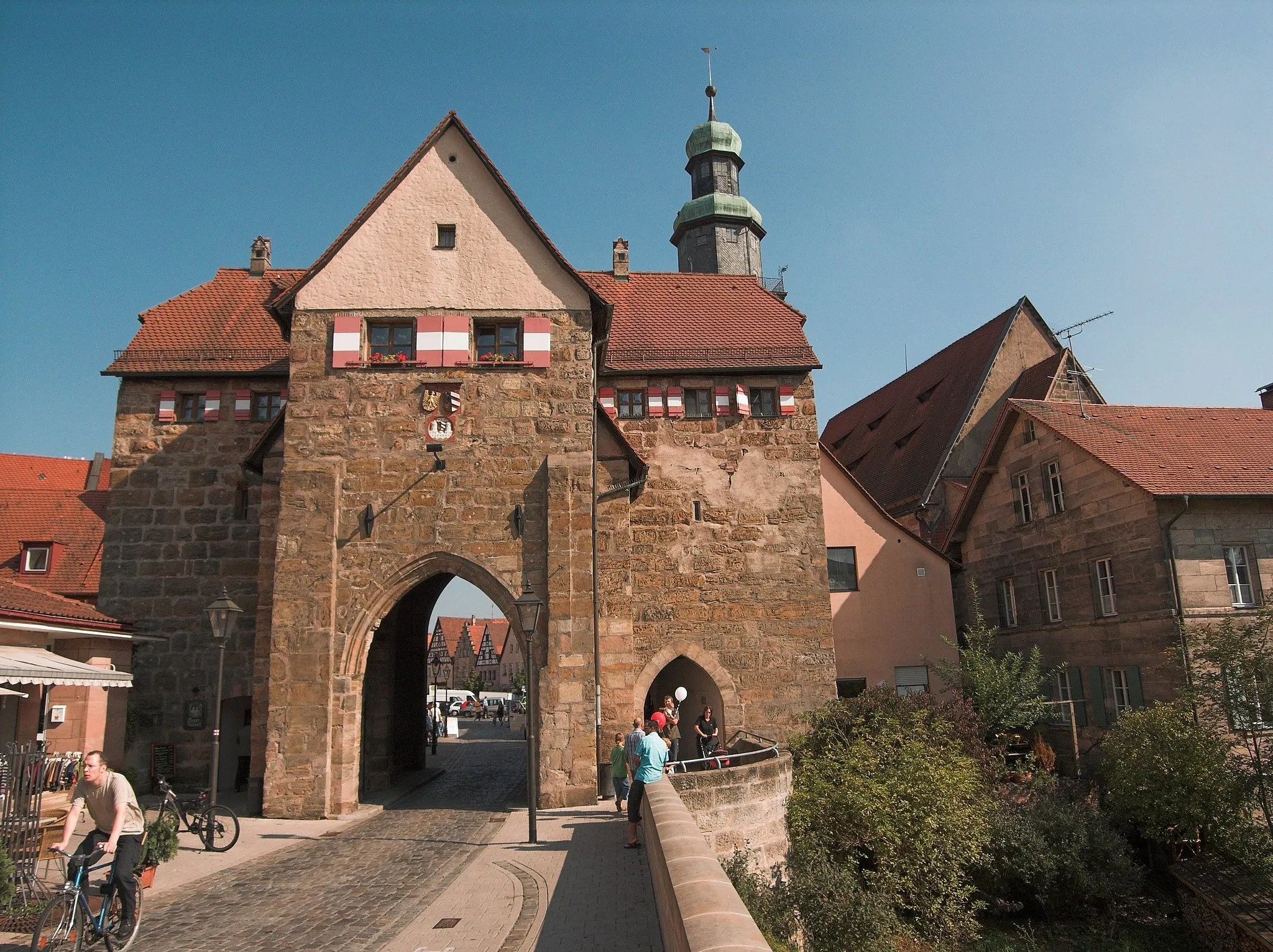
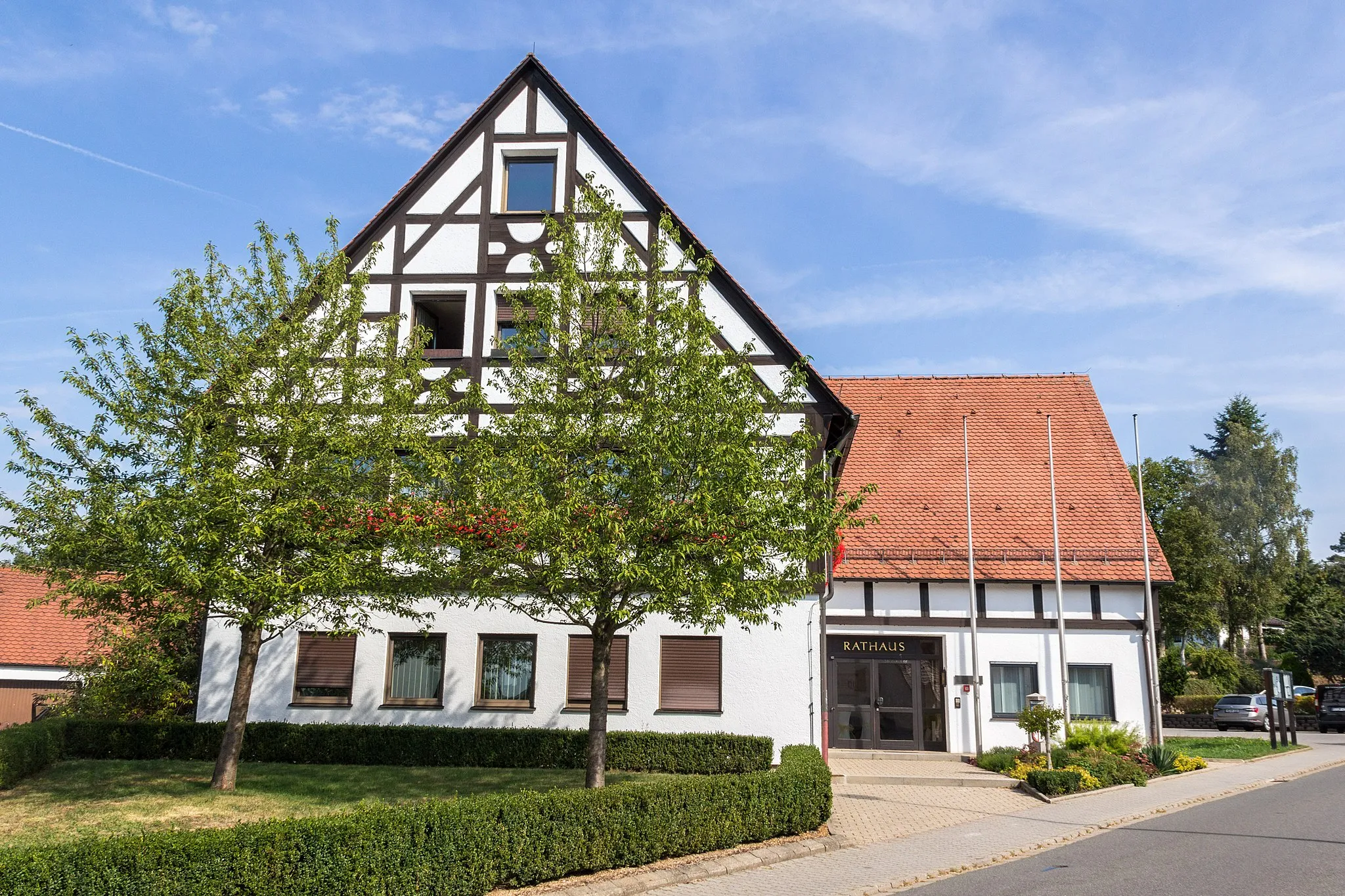
Postbauer-HengTownExplore Postbauer-Heng, a historic town with well-preserved medieval architecture and a lively local culture.
49 km
49 km
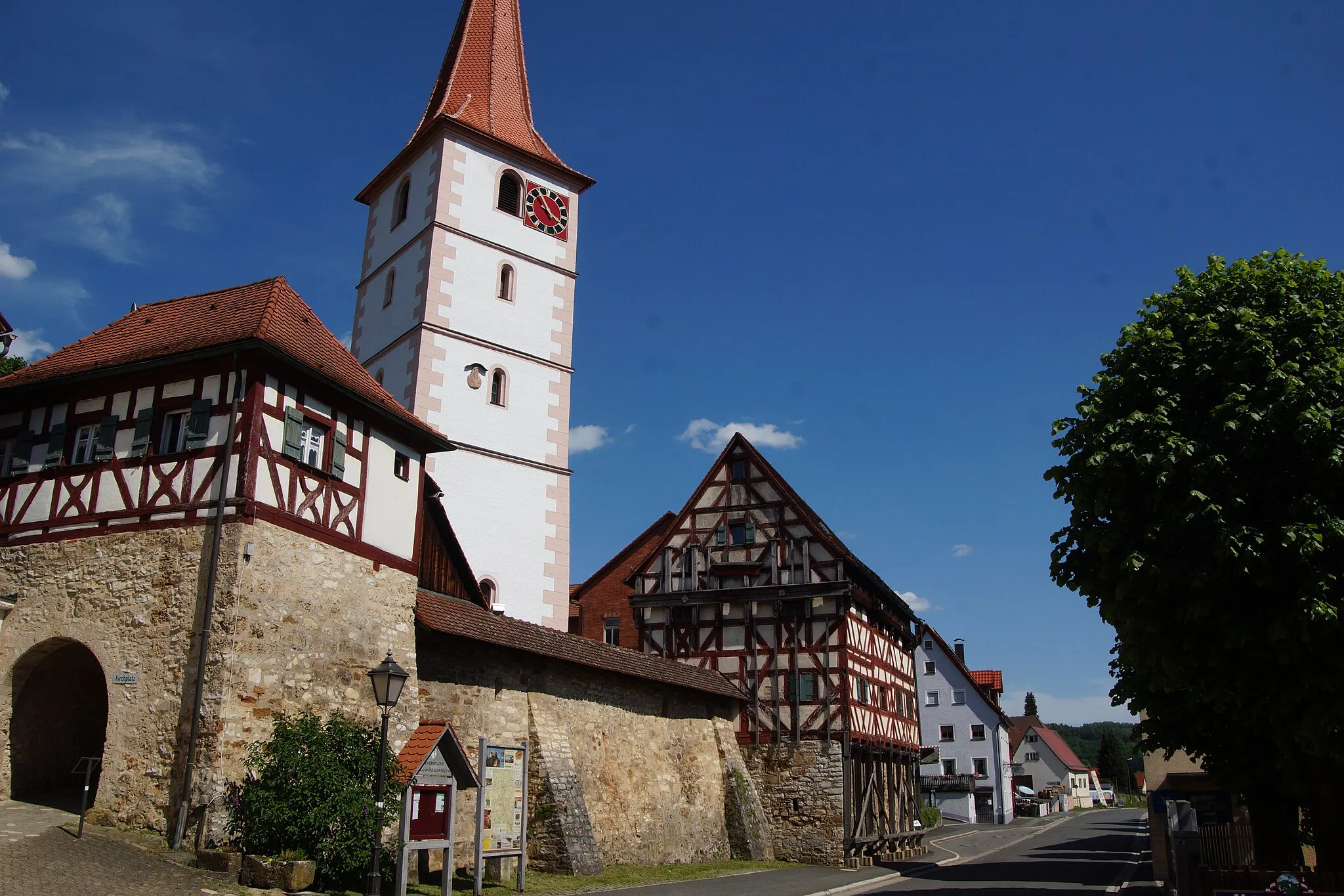
AllersbergTownVisit Allersberg, a charming Bavarian town known for its picturesque market square and traditional architecture.
49 km
49 km
Weinberg414 mPeakClimb the scenic hills of Weinberg and enjoy panoramic views of the surrounding countryside.
58 km
58 km
SperbersloheVillagePass through Sperberslohe, a small village surrounded by lush green fields and tranquil nature.
67 km
67 km
Eichenbühl362 mPeakStop by Eichenbühl, a quaint Bavarian village with charming half-timbered houses and a peaceful atmosphere.
89 km
89 km
Bug356 mPeakExperience the historic town of Bug, known for its well-preserved architecture and lively local culture.
89 km
89 km
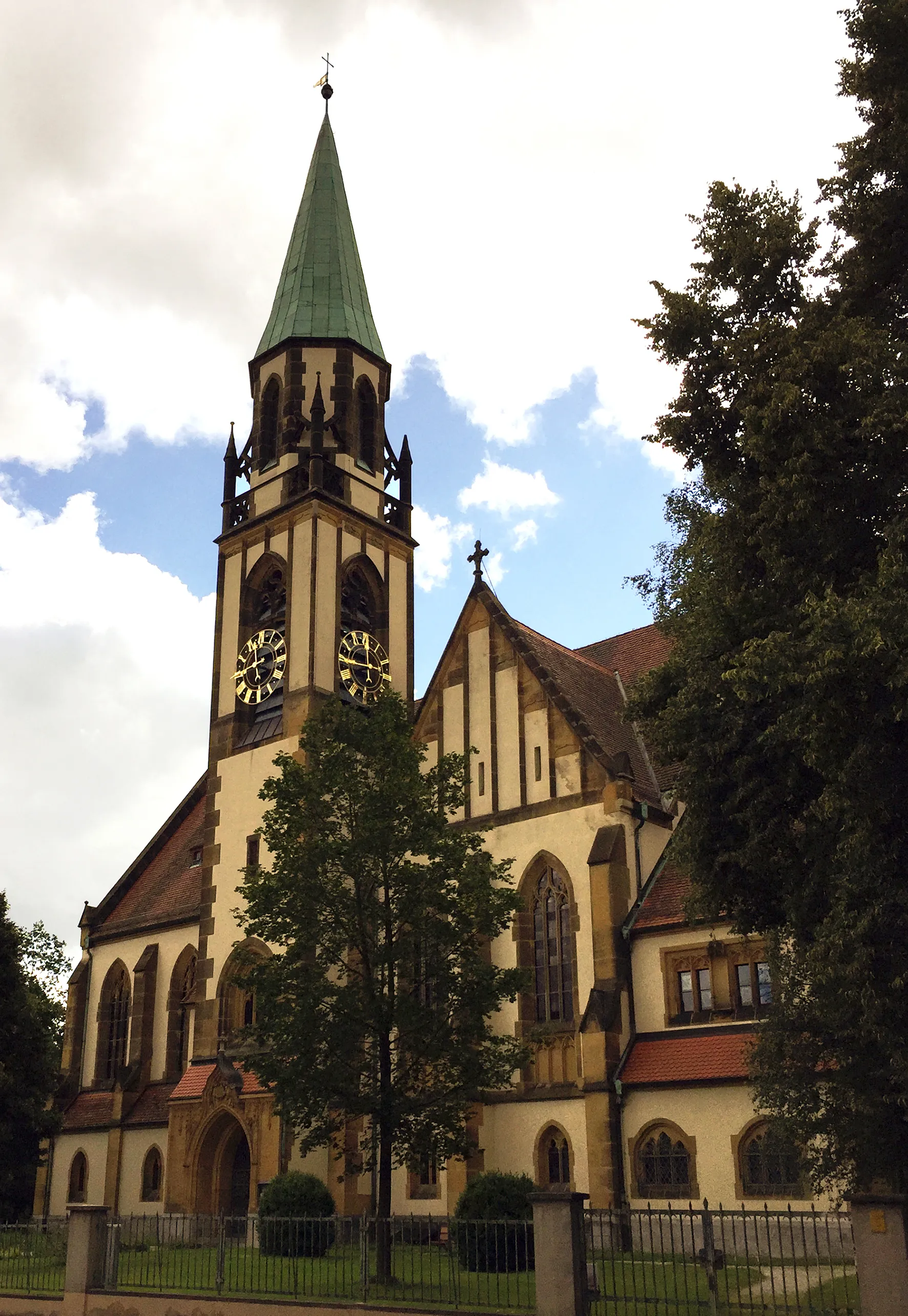
Röthenbach an der PegnitzTownRöthenbach an der Pegnitz, a picturesque town with a rich history and stunning natural beauty, is worth exploring during your ride.
97 km
97 km
Finish: Neunkirchen am Sand Village centerNeunkirchen am Sand: Discover the beauty of Neunkirchen am Sand through its scenic cycling routes.
Cycling routes from Neunkirchen am Sand:
Simmelsdorf and Rothenberg Gravel Route Happurg Road Cycling Challenge Heroldsberg Scenic Road Ride The Gravel Challenge The Scenic Road Loop Simmelsdorf Gravel Adventure The Ultimate Road Challenge The Road Adventure Gravel Tour through Lauf an der Pegnitz and Kleinsendelbach Scenic Tour of Neunkirchen am Sand
Cycling routes nearby: