The Hills of Mittelfranken
A road cycling route starting from Polsingen
A challenging road cycling route through the hills of Mittelfranken
Map
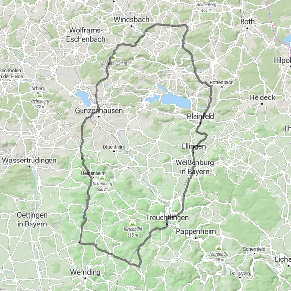
This road cycling route takes you through the beautiful hills of Mittelfranken, offering stunning views and challenging climbs. With a total ascent of 1275m and a distance of 118km, this route is ideal for experienced cyclists looking for a scenic and challenging ride. The route passes through highlights such as the Balsenmühle, Gunzenhausen, and the impressive Burg Abenberg. While this route is definitely not for the faint-hearted, the breathtaking landscapes and cultural landmarks along the way make it a truly epic cycling experience.
road
118 km
1275 m
Tough
Route profile
Highlights on the route
0 km
0 km
Start: Polsingen Village centerPolsingen: Peaceful locality with quiet country roads and flat terrain.
Polsingen, located in Mittelfranken, Germany, is a decent locality for road and gravel cyclists. The area offers quiet country roads with minimal traffic, making it a peaceful destination for cycling. The terrain is primarily flat, but there are some small hills to add variety to your rides. While there are no notable climbs in the immediate vicinity, Polsingen provides a relaxing and enjoyable cycling experience.9 km
9 km
BalsenmühleHamletStop by the historic Balsenmühle and learn about its rich history and significance in the region.
16 km
16 km
Hagbuck598 mPeakExplore the Hagbuck forest, known for its diverse flora and fauna, and enjoy a peaceful break in nature.
26 km
26 km
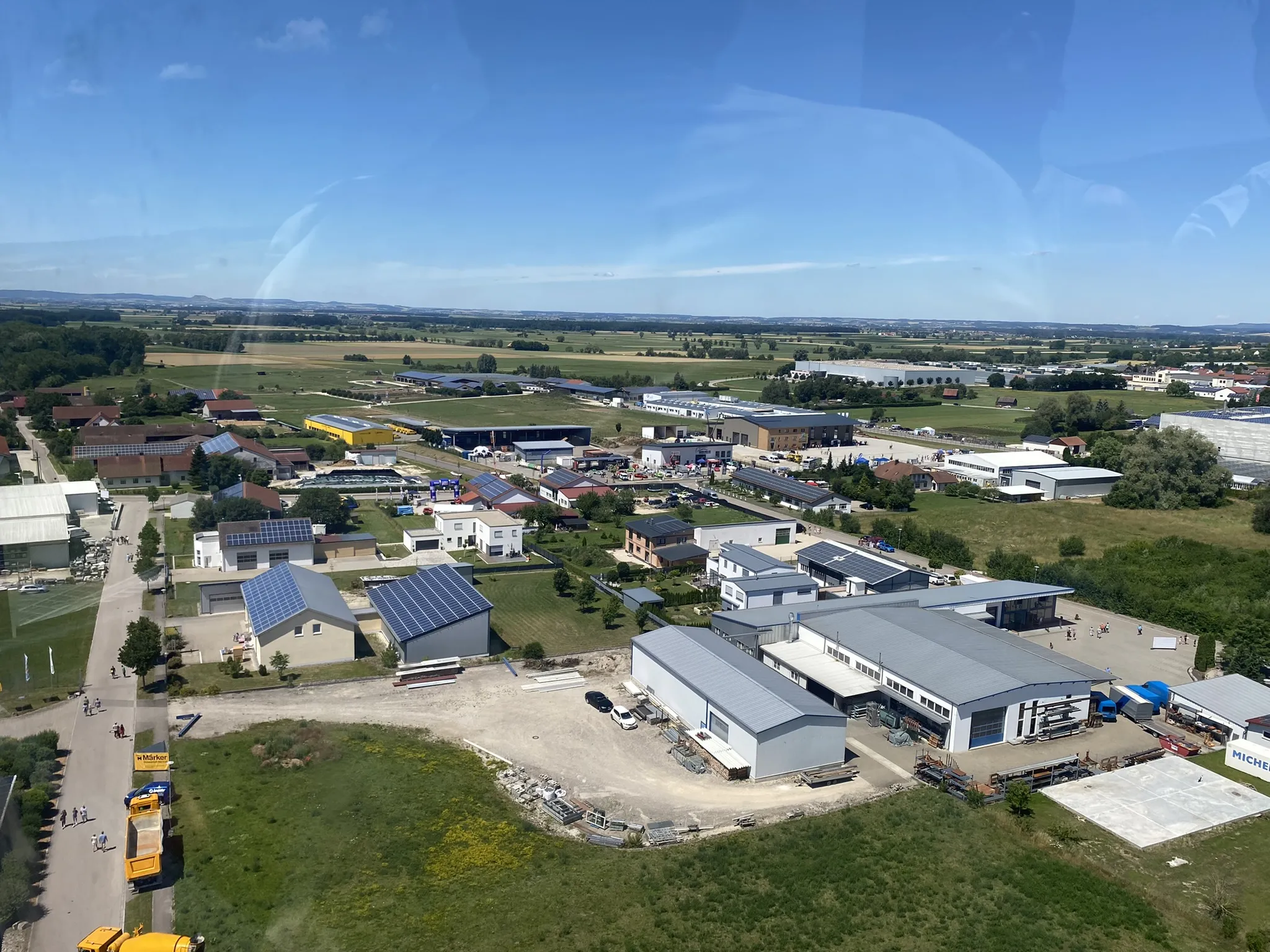
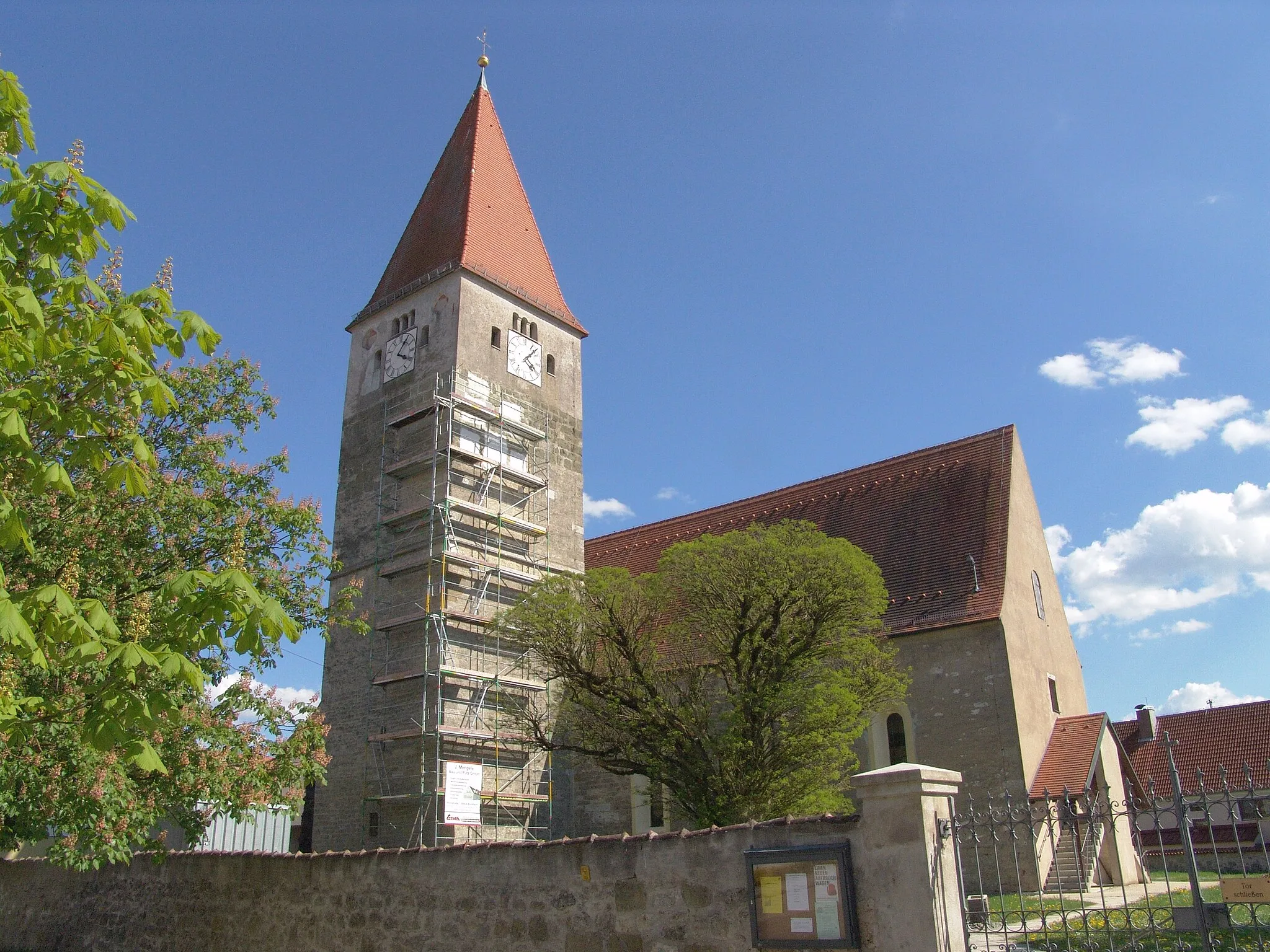
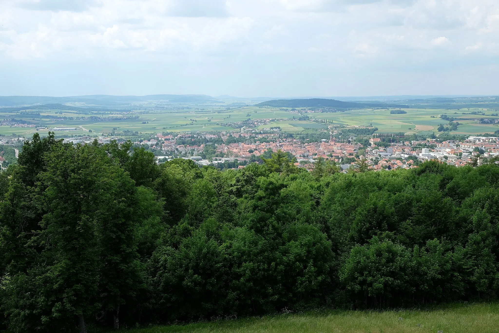
GunzenhausenTownVisit the charming town of Gunzenhausen, known for its picturesque streets and historic buildings.
36 km
36 km
Höhberg534 mPeakClimb up the Höhberg and marvel at the panoramic views of the surrounding countryside.
46 km
46 km
Goldberg419 mPeakMake a stop at the Goldberg, a ancient hill known for its archaeological excavations and historical significance.
53 km
53 km
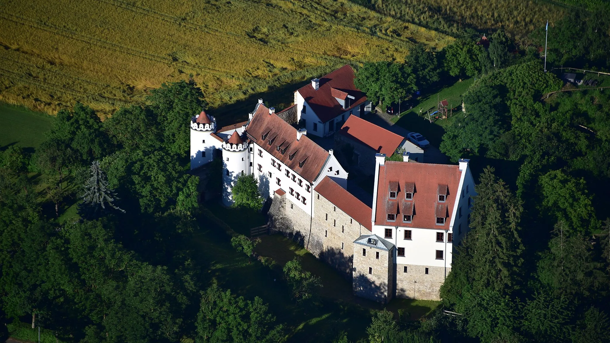
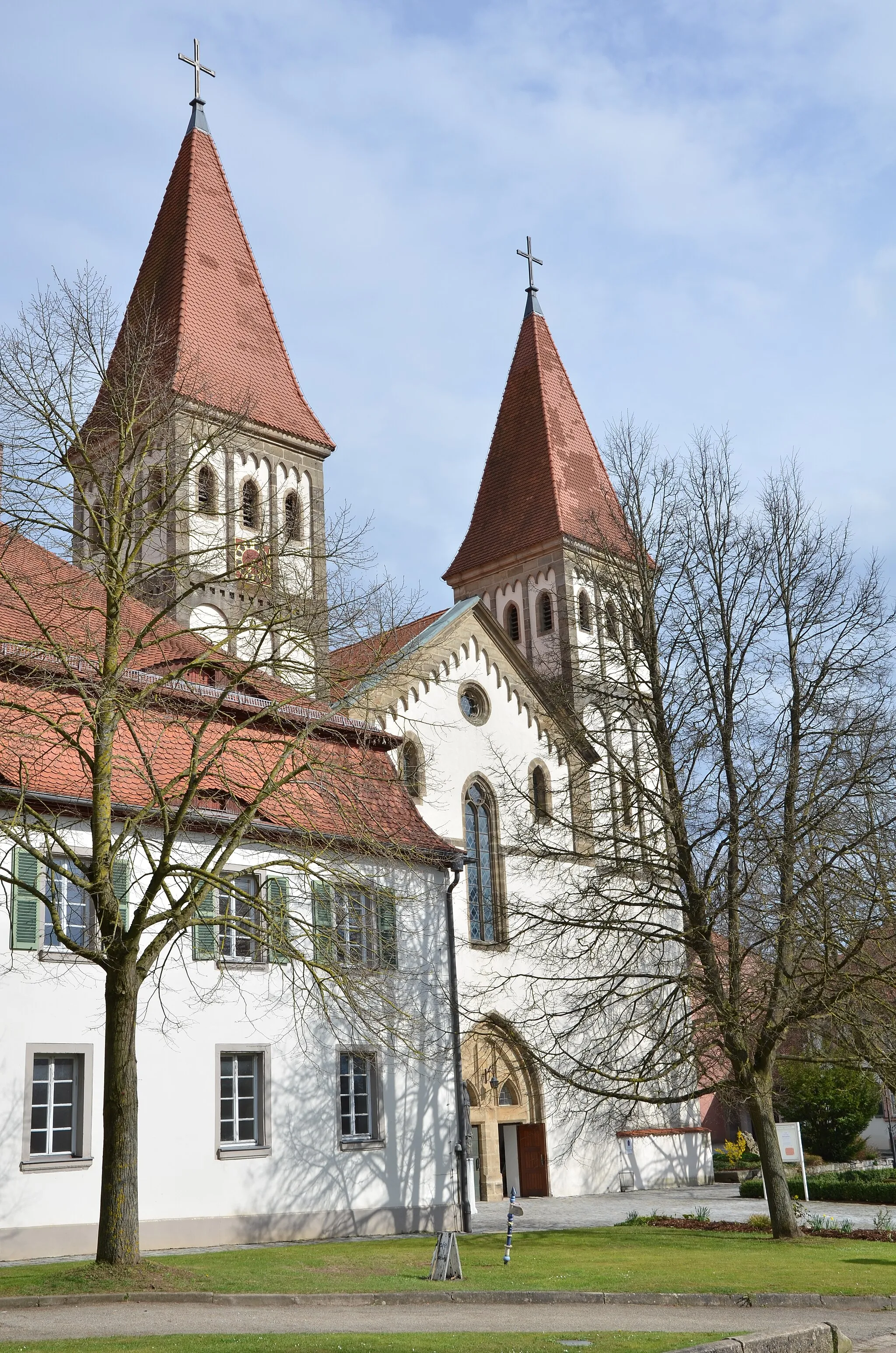
Burg AbenbergCastleDon't miss the opportunity to visit the majestic Burg Abenberg, a medieval castle with a fascinating architecture and history.
60 km
60 km
Hörlberg448 mPeakTake a detour to the Hörlberg lookout point and enjoy the stunning views of the Altmühltal Nature Park.
72 km
72 km
PleinfeldTownExplore the town of Pleinfeld, located on the shores of the beautiful Brombachsee lake and offering various recreational activities.
83 km
83 km
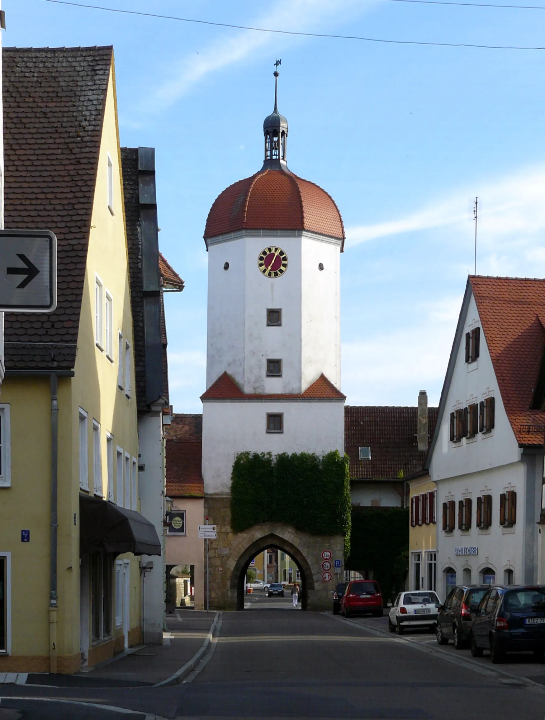
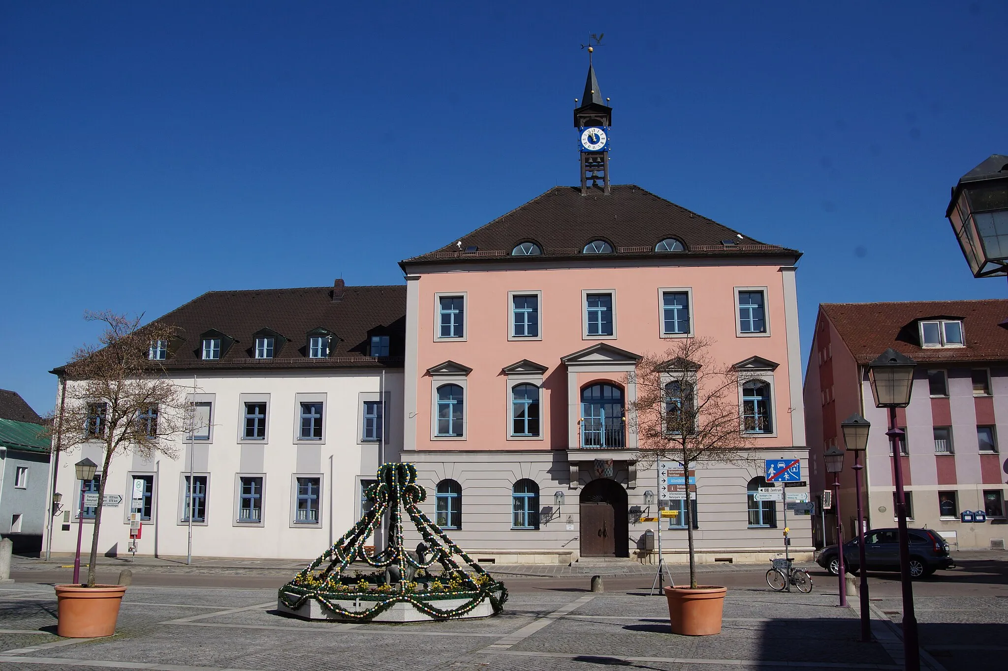
Weißenburg in BayernTownDiscover the historic town of Weißenburg in Bayern, known for its well-preserved Roman monuments and buildings.
93 km
93 km
Nagelberg542 mPeakVisit the Nagelberg, an iconic hill with a unique rock formation and captivating hiking trails.
111 km
111 km
WolferstadtVillageMake sure to stop at Wolferstadt, a charming village with a rich history and traditional Bavarian atmosphere.
116 km
116 km
Döckinger Berg562 mPeakChallenge yourself with the ascent of the Döckinger Berg, known for its steep slopes and rewarding views.
118 km
118 km
Finish: Polsingen Village centerPolsingen: Peaceful locality with quiet country roads and flat terrain.
Cycling routes from Polsingen:
Exploring Rural Landscapes Historic Castles and Charming Villages Cultural Heritage and Scenic Beauty Off-road Adventure in Nature's Wonderland Challenging Gravel Loop through Mittelfranken Picturesque Road Trip to Schloss Polsingen Scenic Loop across Polsingen Short Tour to Schloss Polsingen Gravel Adventure to Polsingen Hidden Gems and Breathtaking Views Gravel Adventure in the Countryside The Hills of Mittelfranken Exploring the Gravel Paths of Mittelfranken
Cycling routes nearby: