Mittelfranken Hilly Loop
A road cycling route starting from Schwarzenbruck
Experience the rolling hills of Mittelfranken on this challenging road cycling route.
Map
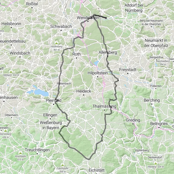
This 147 km road cycling route provides a challenging and scenic tour of Mittelfranken in Germany. With a total ascent of 1451 meters, you will experience the beautiful landscapes and small villages along the way. The route takes you through highlights such as Gsteinach, Lay, and Georgensgmünd.
road
147 km
1451 m
Tough
Route profile
Highlights on the route
0 km
0 km
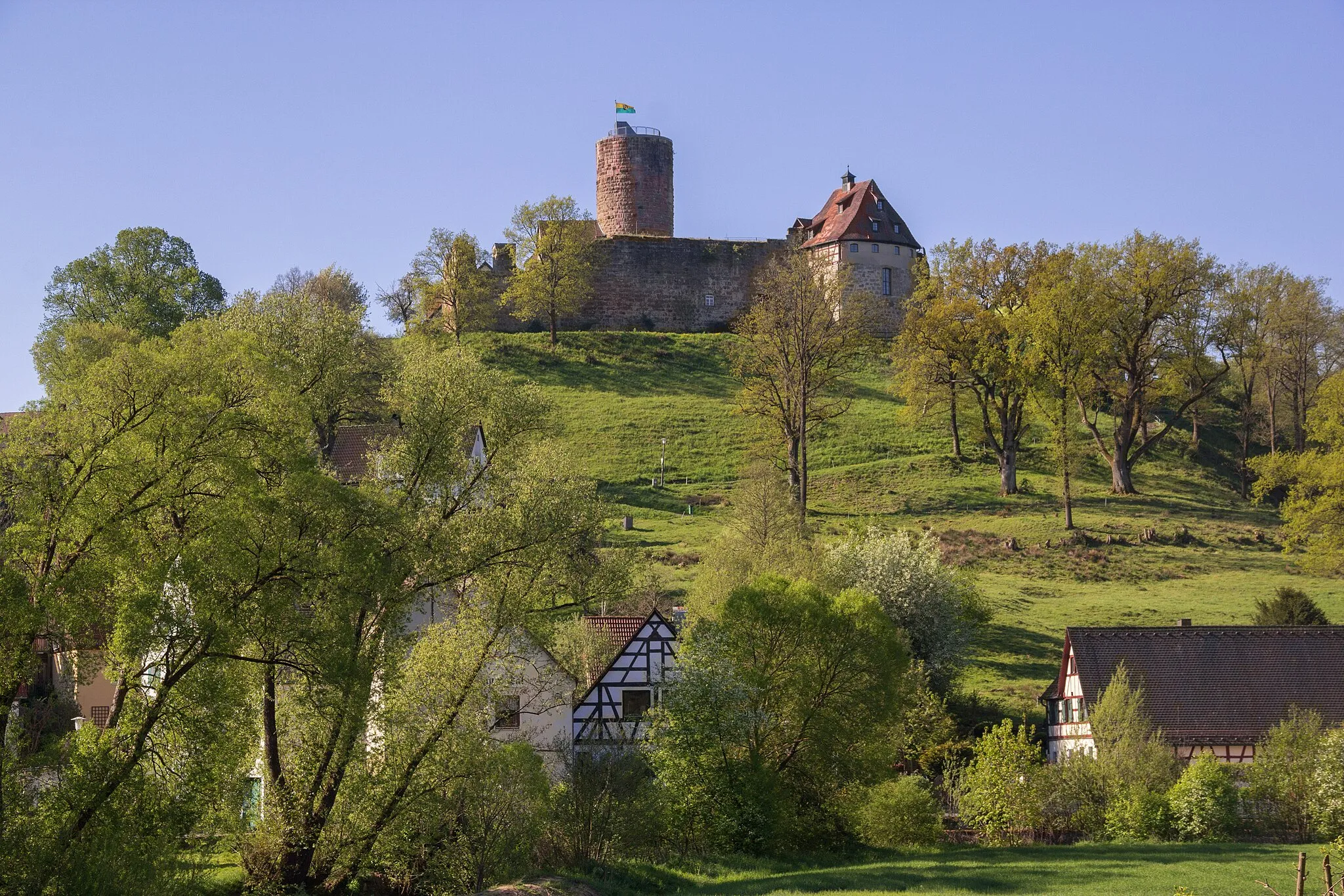
Start: Gsteinach Village centerSchwarzenbruck: Explore the scenic routes and charming streets of Schwarzenbruck, Germany.
Schwarzenbruck is a locality in the Mittelfranken region of Germany. It provides scenic routes for road and gravel cyclists to explore the Bavarian landscape. From Schwarzenbruck, cyclists can embark on journeys to popular destinations such as Nuremberg and the Franconian Lake District. The Altdorfer Forest and the Nürnberger Reichswald Forest offer nature-filled rides with beautiful views. Schwarzenbruck itself is a charming town with historical buildings and picturesque streets, adding to the overall cycling experience. Whether it's a casual ride or a challenging climb, Schwarzenbruck serves as a great base for cyclists looking to discover the wonders of the region.0 km
0 km
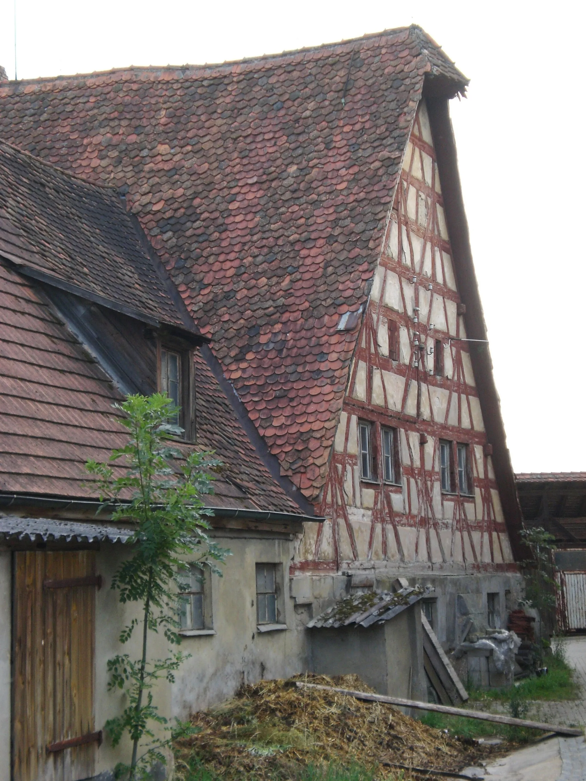
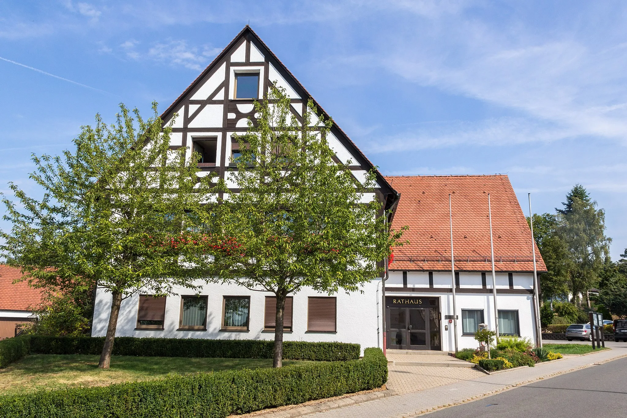
GsteinachVillageGsteinach is a picturesque village known for its traditional half-timbered houses and beautiful countryside views.
19 km
19 km
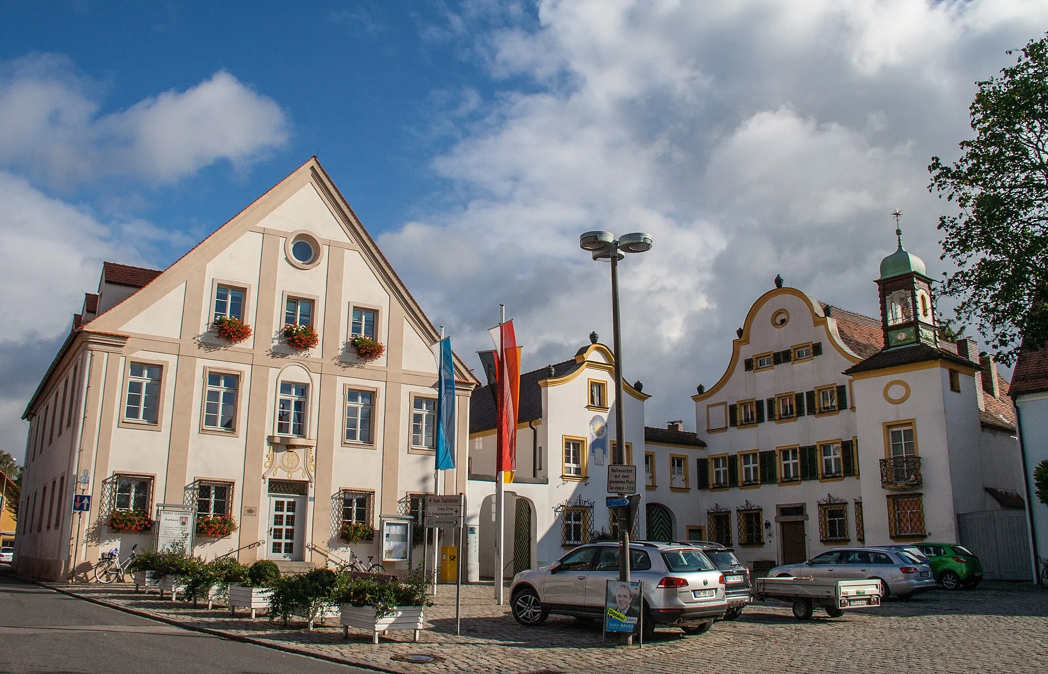
AllersbergTownAllersberg is a charming town with a historic marketplace and stunning architecture.
35 km
35 km
LayVillageLay is a peaceful village with a tranquil lake surrounded by lush forests.
42 km
42 km
SchwimbachVillageSchwimbach is a small hamlet located near a scenic river, offering a peaceful atmosphere for a short break.
47 km
47 km
Reuther PlatteViewpointReuther Platte is a hilltop with panoramic views of the surrounding countryside and forests.
55 km
55 km
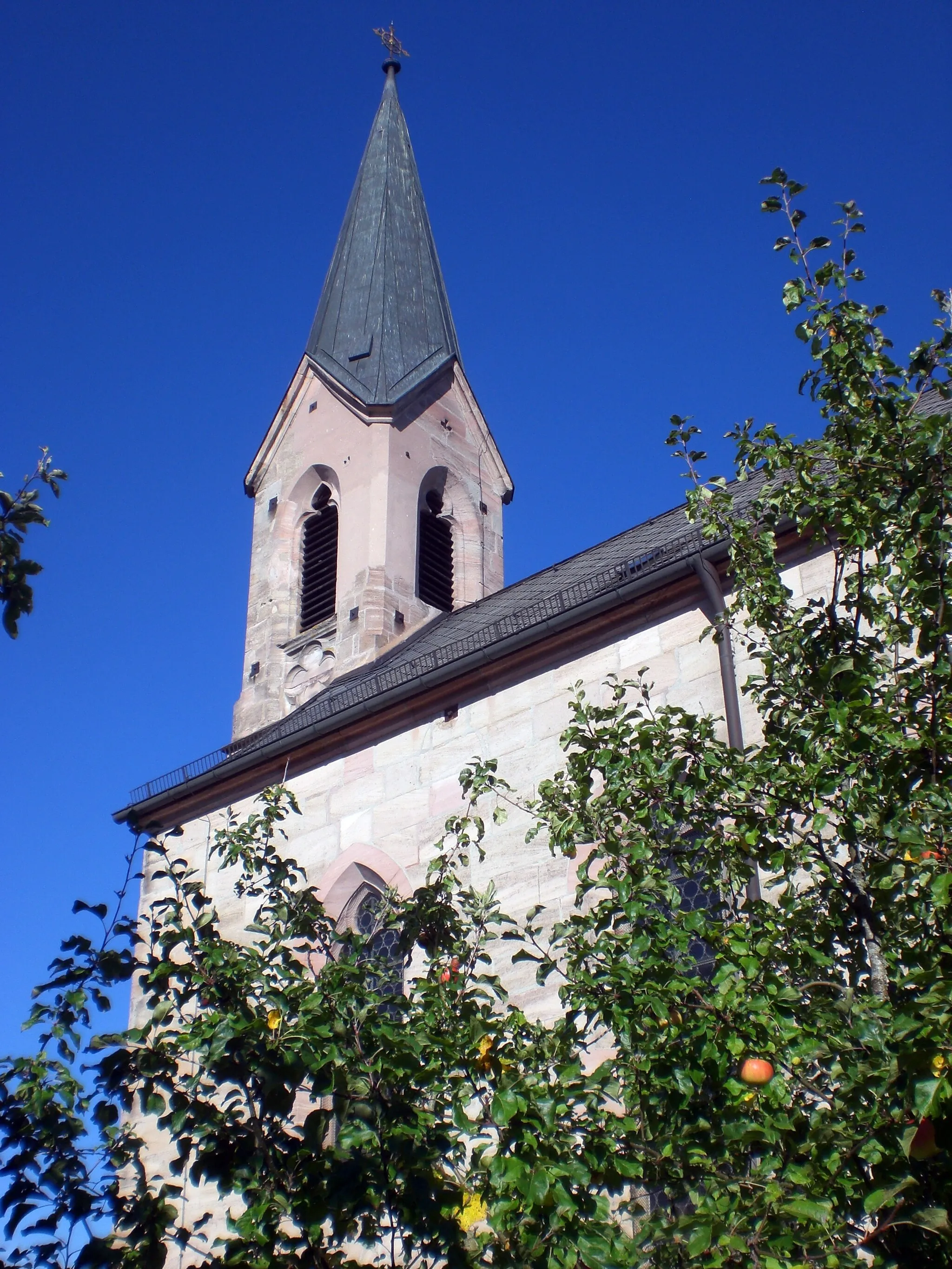
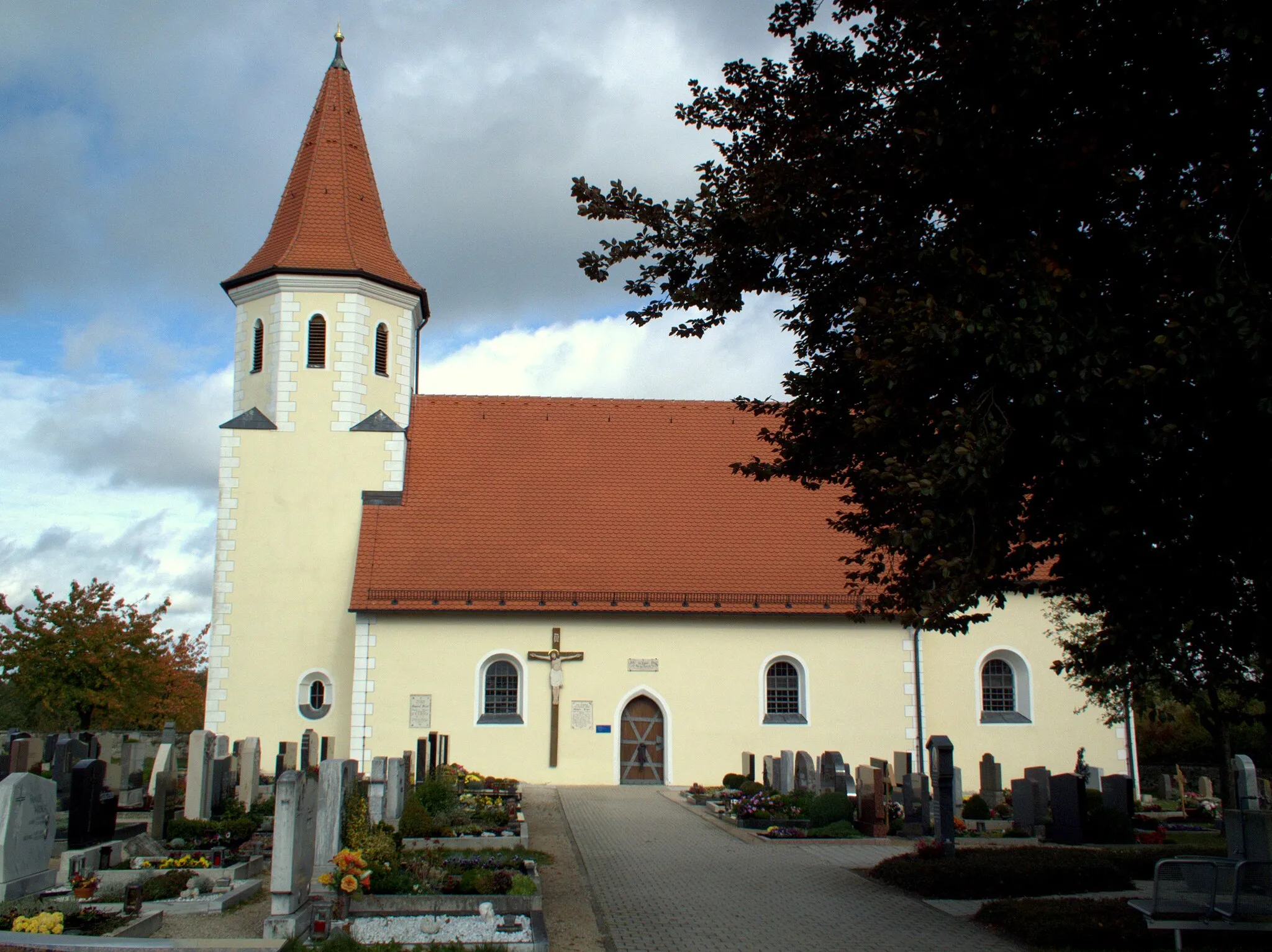
MantlachVillageMantlach features a beautiful church and a vibrant village square, perfect for a rest and enjoying the local culture.
75 km
75 km
DolineViewpointDoline is a natural depression surrounded by lush greenery and offers a peaceful spot to connect with nature during the ride.
83 km
83 km
Steinberg625 mPeakSteinberg is a picturesque village with historical buildings and spectacular views of the surrounding countryside.
95 km
95 km
Limes (Teufelsmauer)Castle RuinsLimes (Teufelsmauer) is an ancient Roman wall that served as a defensive barrier and boasts impressive ruins that showcase its historical significance.
111 km
111 km
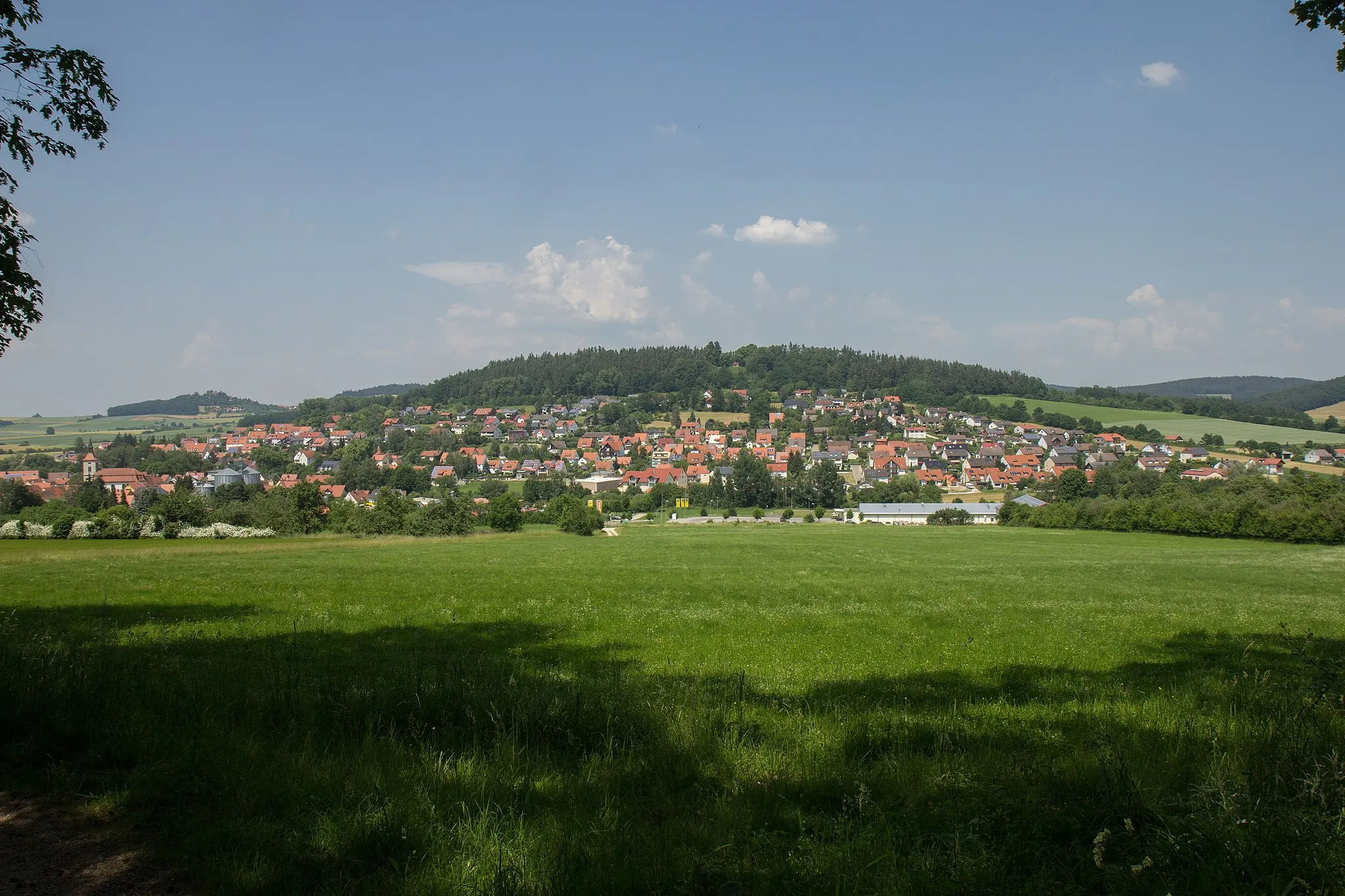
GeorgensgmündVillageGeorgensgmünd is a historic town where the Pegnitz and Rednitz rivers meet, offering beautiful waterfront views and charming architecture.
132 km
132 km
SchwanstettenTownSchwanstetten is a quaint village with a historic chapel and picturesque surroundings, perfect for a short rest before continuing the journey.
141 km
141 km
Röthenbach bei St. WolfgangVillageRöthenbach bei St. Wolfgang is a serene village situated amidst lush green fields, providing a peaceful place to recharge before heading back.
147 km
147 km
Finish: Gsteinach Village centerSchwarzenbruck: Explore the scenic routes and charming streets of Schwarzenbruck, Germany.
Cycling routes from Schwarzenbruck:
Schwabach Highlights Off-Road Adventure: Gravel and Nature Petzenschloß Escape Scenic Road Cycling Adventure in Mittelfranken Exploring Nature on Gravel Roads Gravel Adventures in the Heart of Mittelfranken Mittelfranken Hilly Loop The Ultimate Road Cycling Challenge in Mittelfranken Off-the-Beaten Path Gravel Exploration Pleinfeld Scenic Route Schwarzenbruck Gravel Adventure
Cycling routes nearby: