A haven for road and gravel cyclists with stunning landscapes and a renowned cycling store.
Cycling routes from Thalmassing
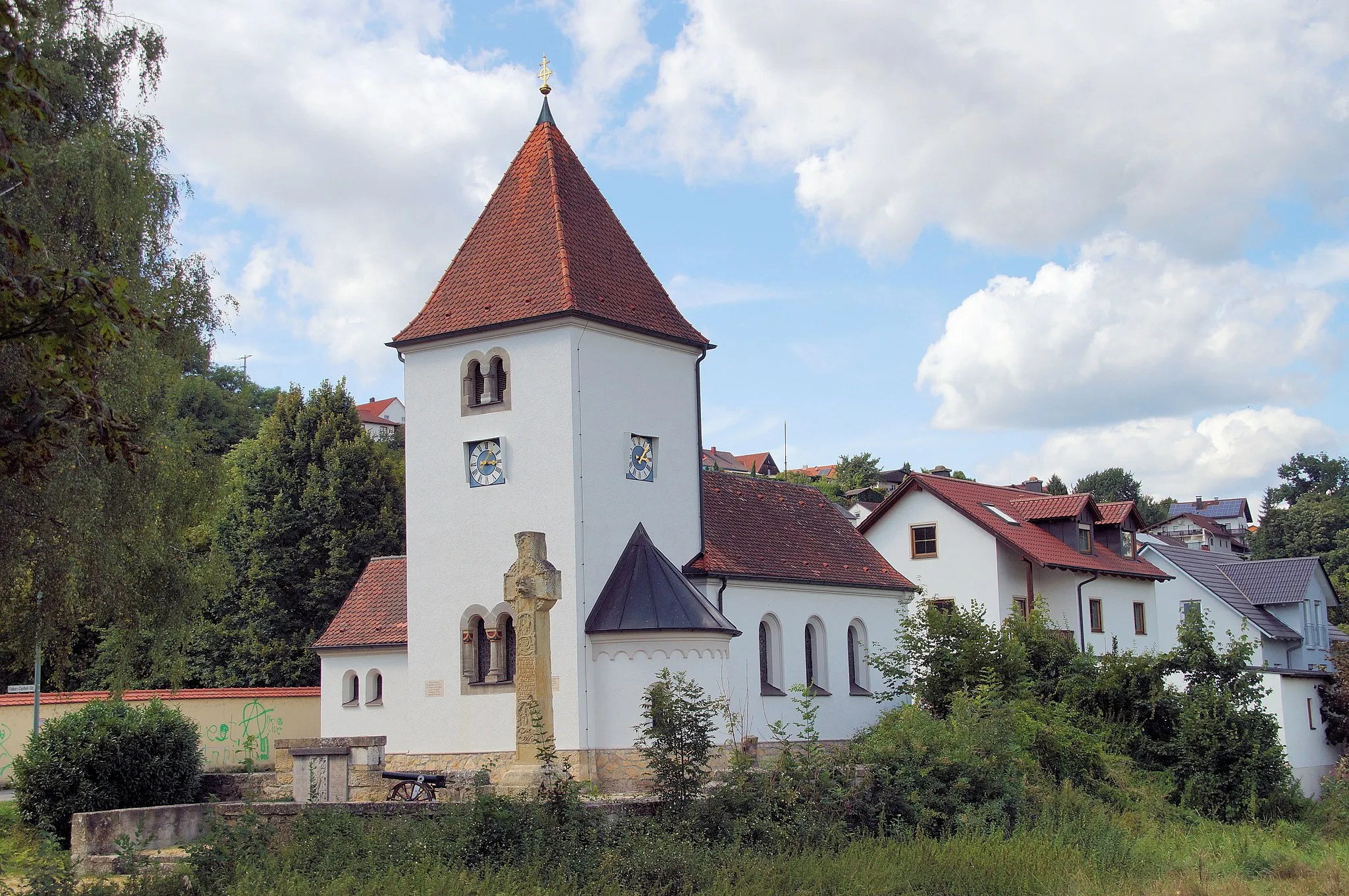
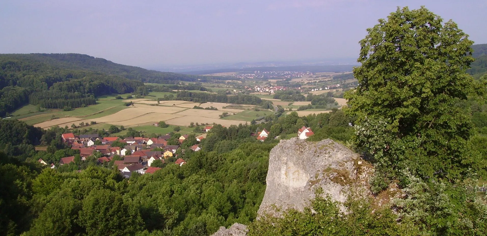
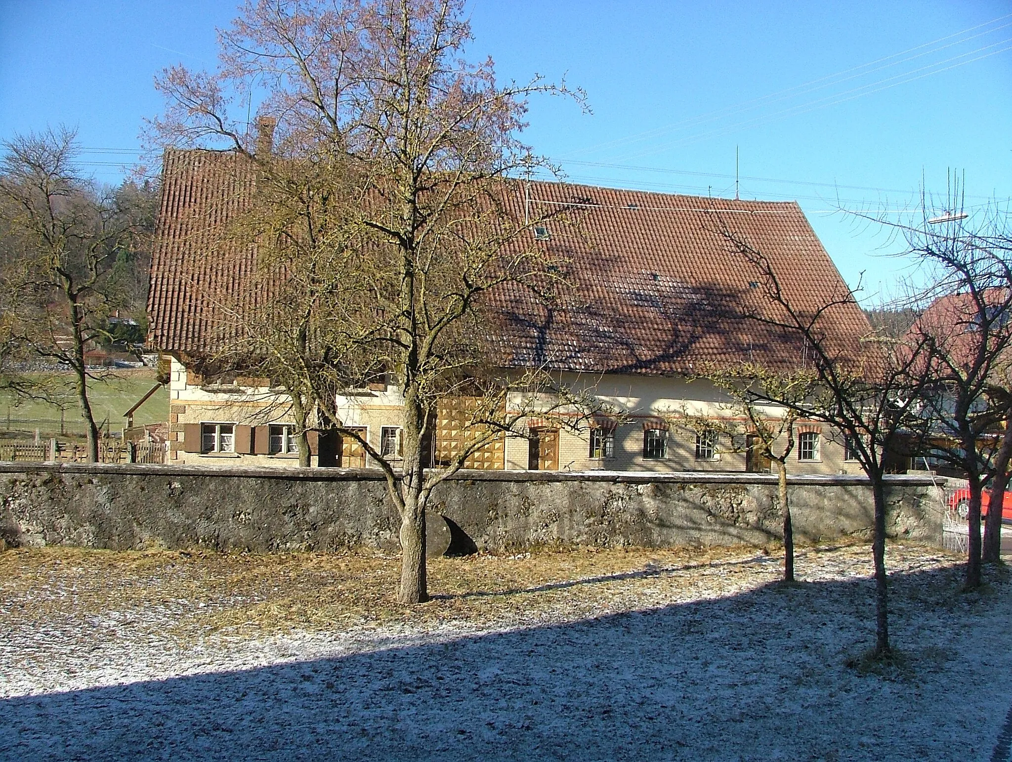
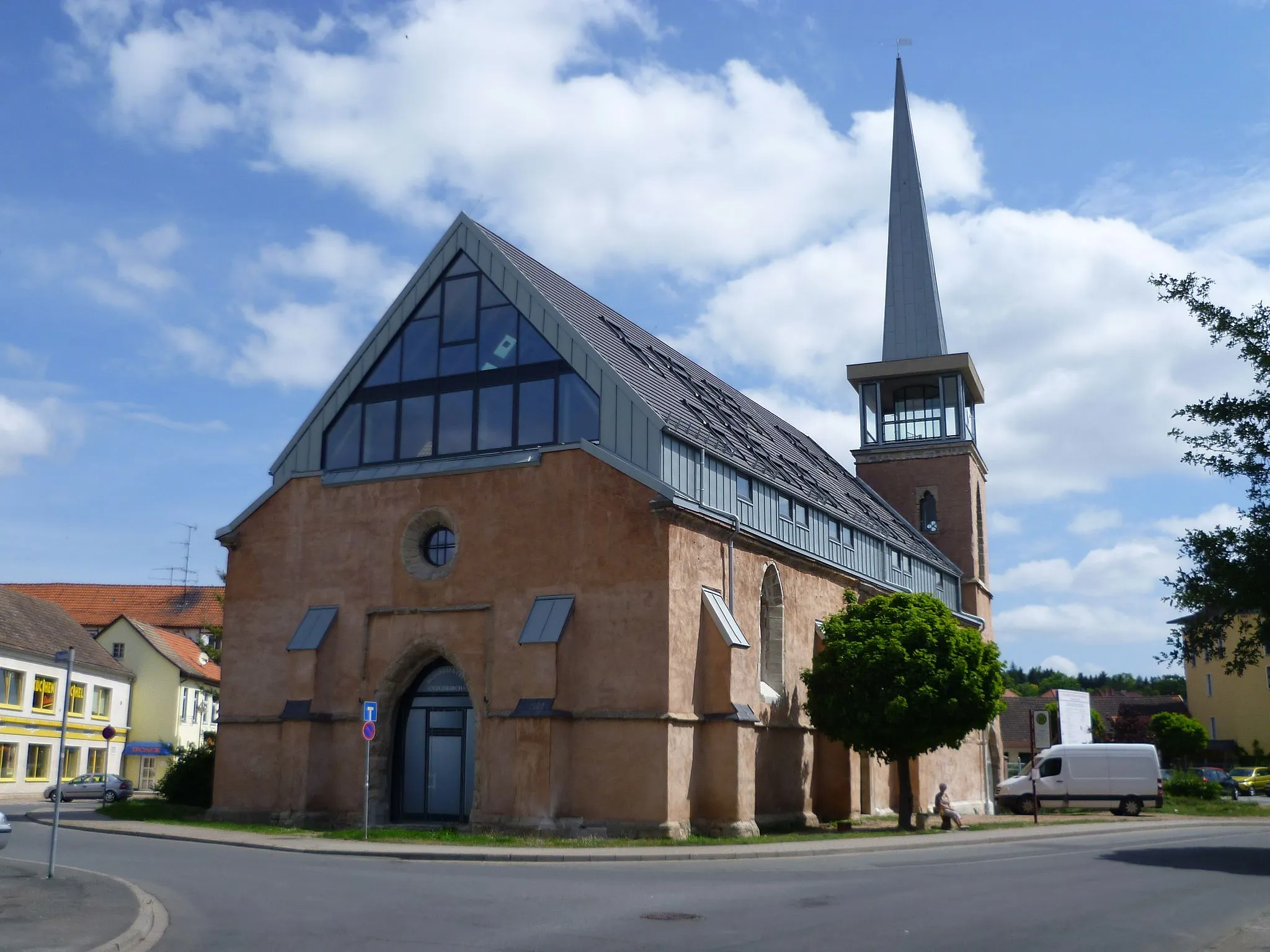
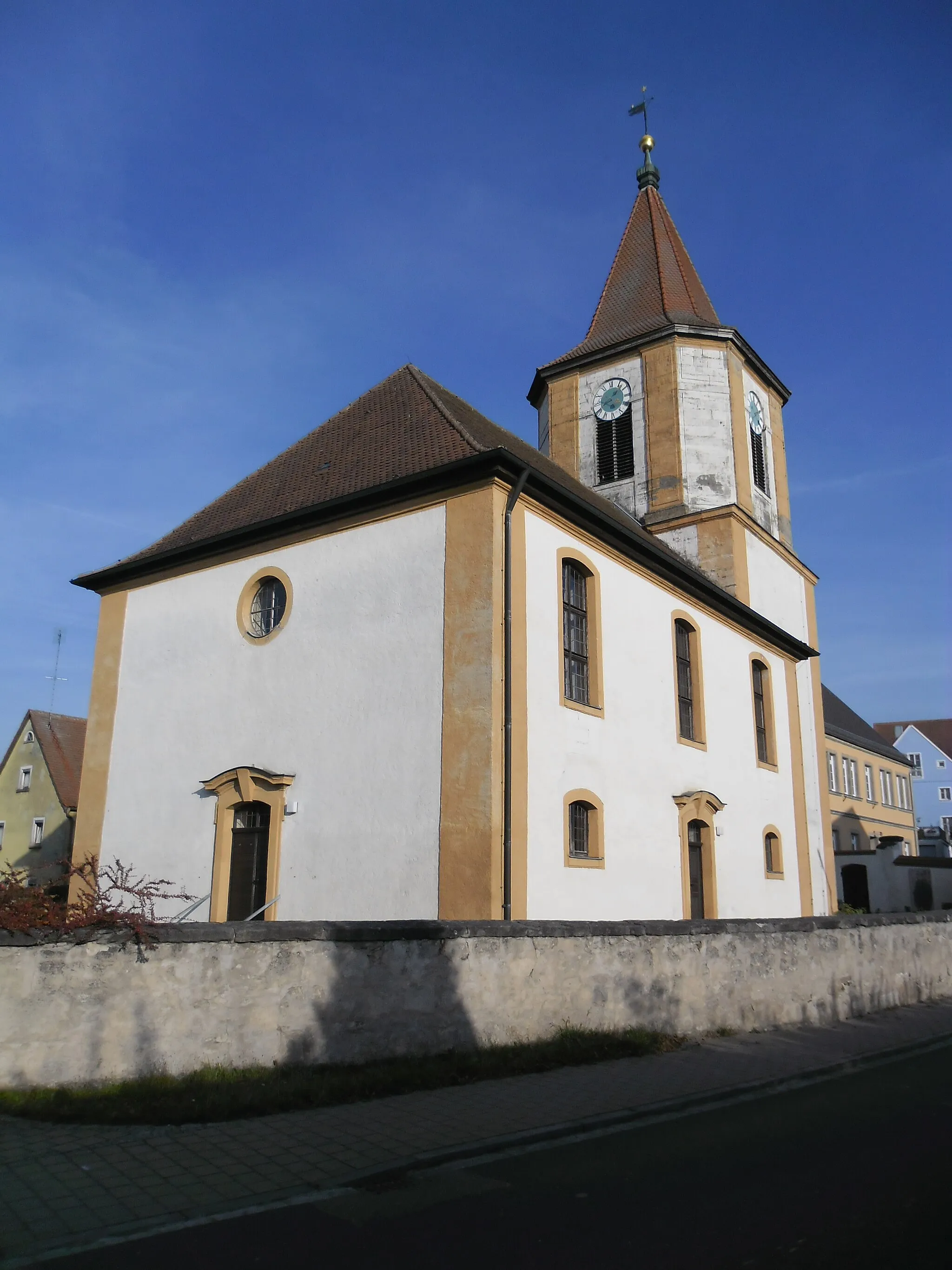
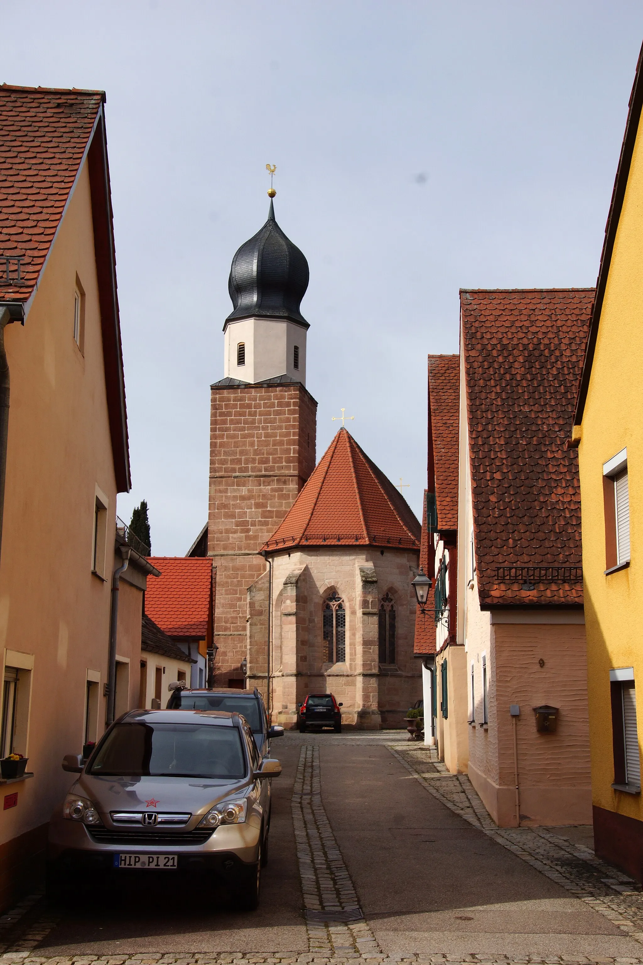
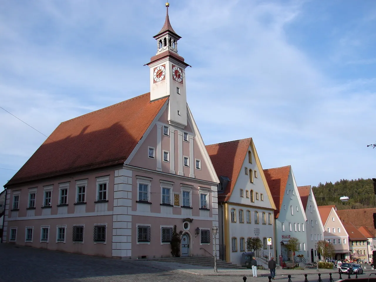
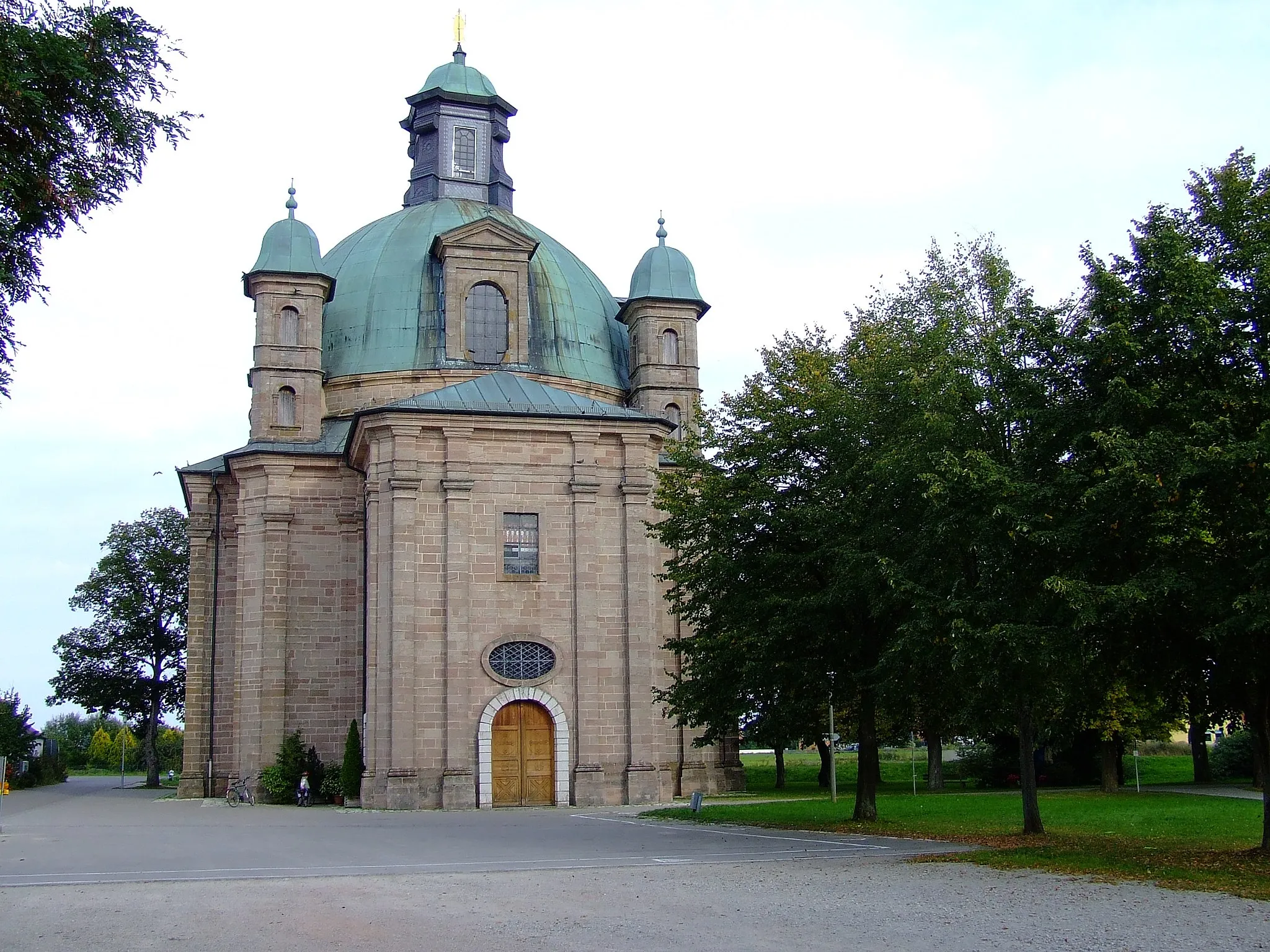
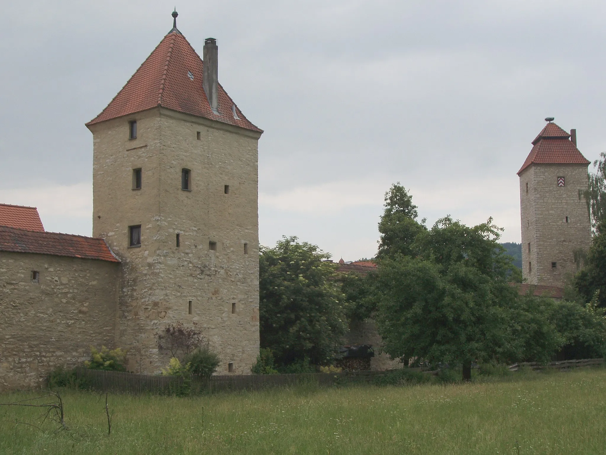
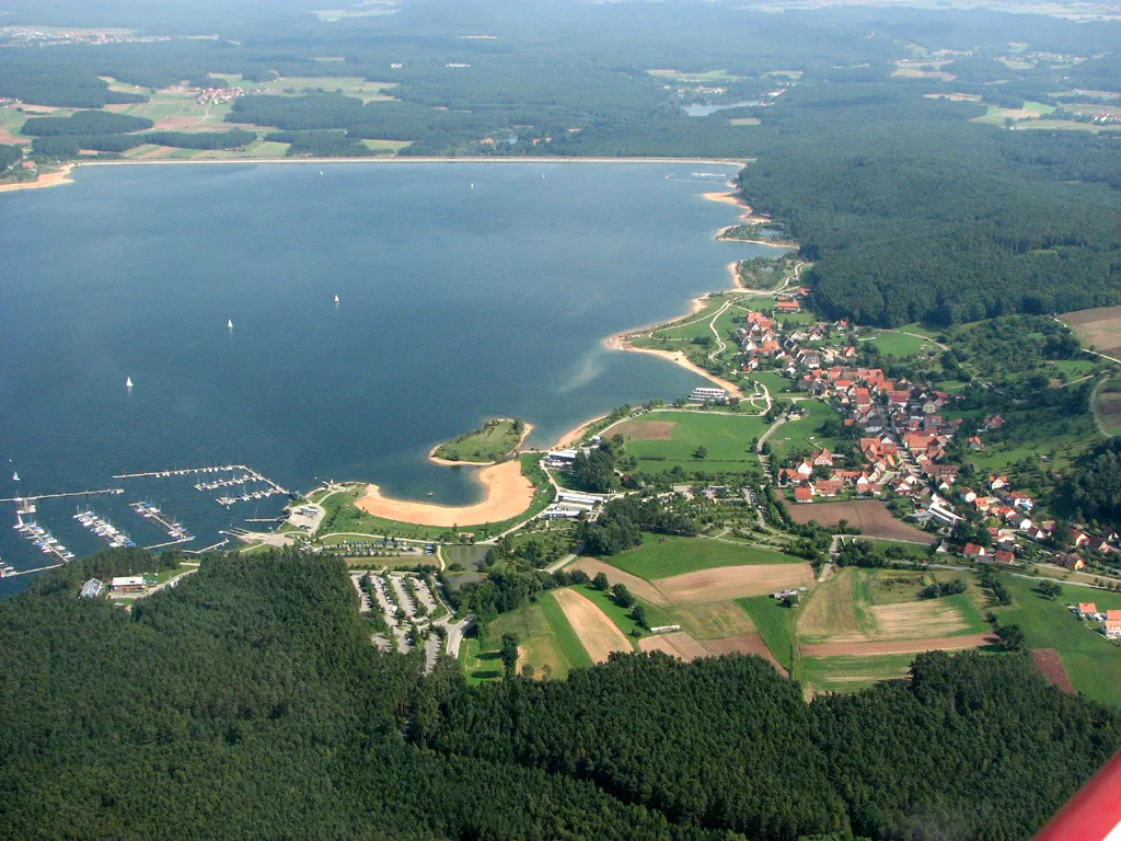
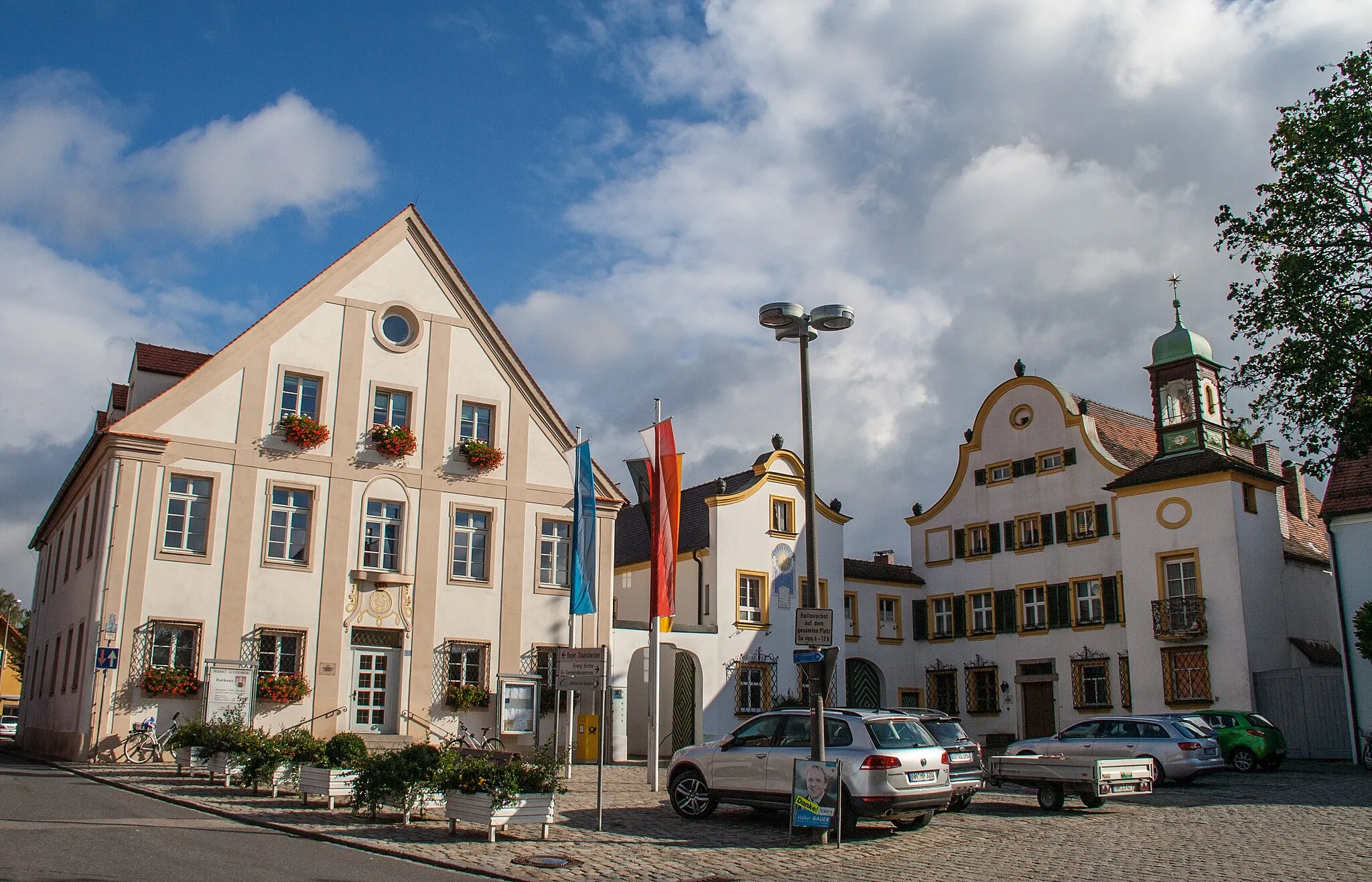
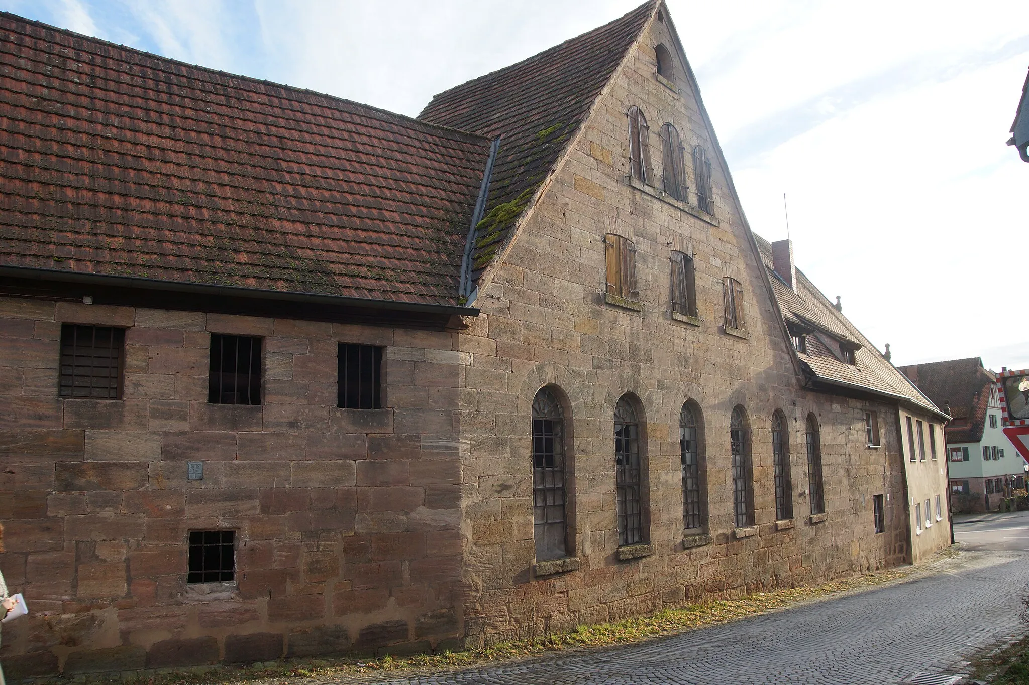
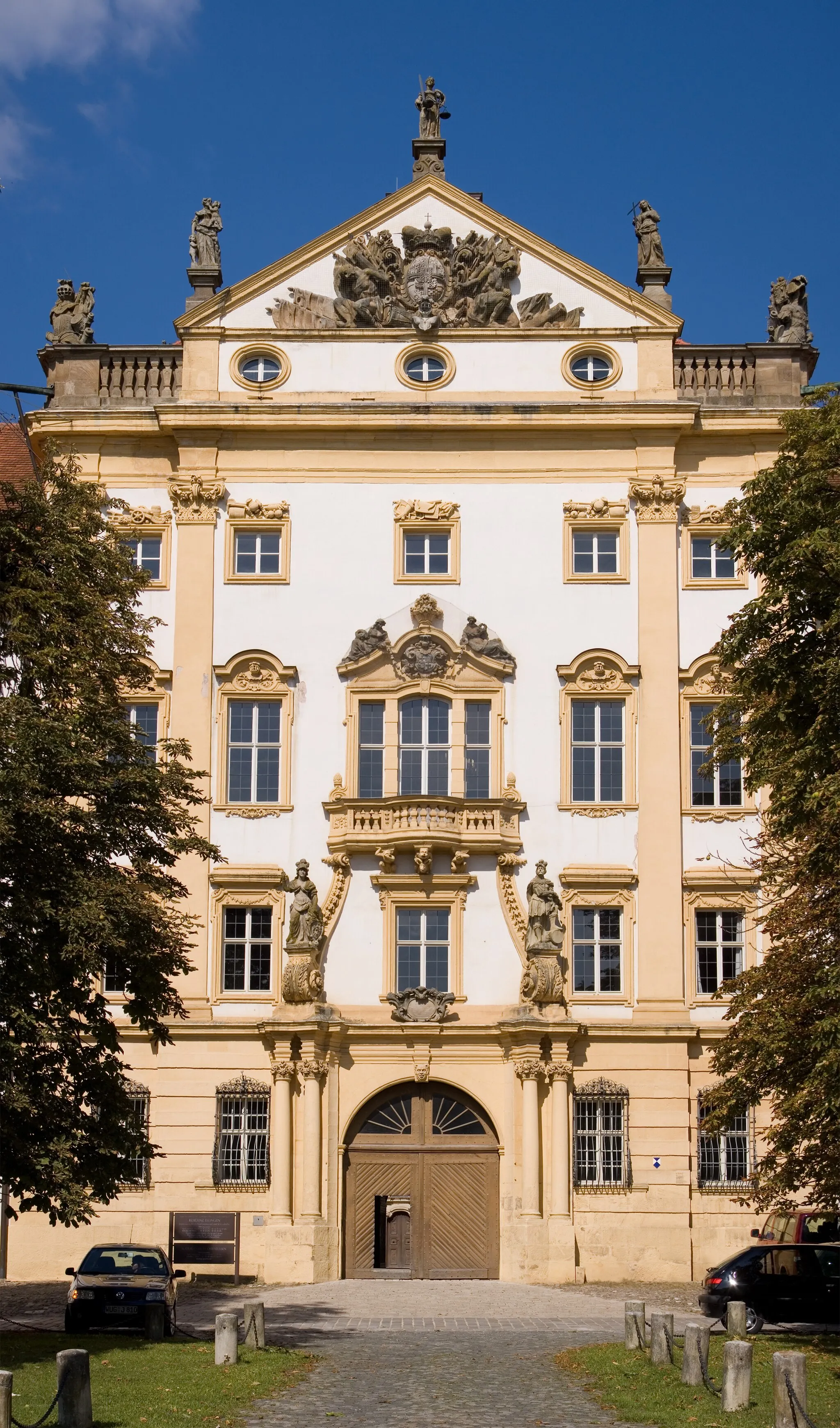
Thalmässing, situated in Mittelfranken, Germany, is a charming town that offers fantastic cycling opportunities for both road and gravel cyclists. The region is known for its rolling hills and scenic landscapes, providing a delightful riding experience. Thalmässing is also home to the renowned Critical Mass Sports store, where cyclists can find high-quality gear and equipment. In addition to its cycling-related attractions, the town features cultural highlights such as historical buildings and museums. With its picturesque surroundings and cyclist-friendly environment, Thalmässing is a must-visit destination for anyone passionate about cycling and adventure.
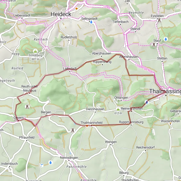
Enjoy a scenic gravel ride through Thalmässing and its surroundings
This 66 km gravel route takes you through the beautiful landscapes near Thalmässing in Mittelfranken, Germany. With an ascent of 700 meters, it offers a moderate challenge suitable for amateur cyclists. The route showcases various highlights along the way, providing opportunities to stop and explore the region's charm.
Experience the scenic countryside on this moderate road cycling route near Thalmässing
This 54 km road route is perfect for cyclists looking to explore the picturesque countryside near Thalmässing. With a 535-meter ascent, it offers a moderately challenging ride suitable for all skill levels. Along the way, you'll encounter various highlights that add to the touristic attractiveness of the route.
Thalmässing Gravel Exploration
Explore the off-road beauty around Thalmässing, including Altdorf and Ziegelhütte
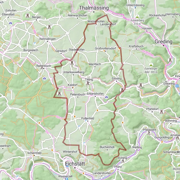
This gravel cycling route starting near Thalmässing spans across 63 kilometers, offering an off-road exploration opportunity. With an ascent of 840 meters, this route is recommended for experienced gravel riders seeking a challenge. Along the way, experience the scenic beauty of Altdorf at 12 kilometers and the charming village of Bechthal. Another highlight of this route is Ziegelhütte, known for its idyllic location amidst natural surroundings.
The Gersdorf Gravel Adventure
A gravel route through scenic landscapes and charming villages
Embark on a thrilling gravel adventure through the beautiful landscapes of Thalmässing and its surrounding areas. This 76-kilometer route offers a mix of challenging terrain and peaceful countryside, showcasing the best of Mittelfranken. Ride through picturesque villages, conquer steep climbs, and soak in the stunning views along the way. Get ready for an unforgettable cycling experience that will leave you wanting more.
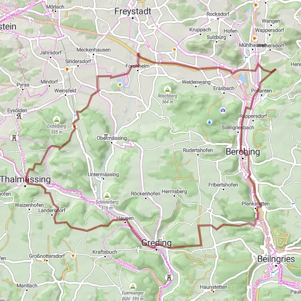
Thalmässing to Bürg Loop
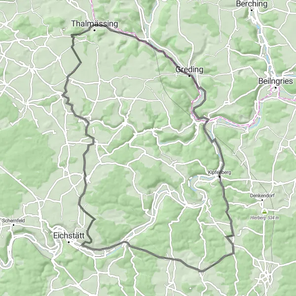
A scenic loop through Thalmässing with beautiful views of the Reuther Platte and Ilbling
This road cycling route takes you on a scenic loop from Thalmässing, providing stunning views of the Reuther Platte and Ilbling. With a total distance of 84 kilometers and an ascent of 827 meters, this route offers a moderate challenge for well-trained amateur cyclists. The highlights of this route include the Kleinhöbing village, situated at 5 kilometers from the starting point, and the historical Brandplatz at 27 kilometers. Make sure to also stop at Rothenberg, a picturesque point at 37 kilometers, and the charming town of Pfünz, known for its beautiful landscapes. The Bürg castle, located at 70 kilometers, is another highlight of this route.
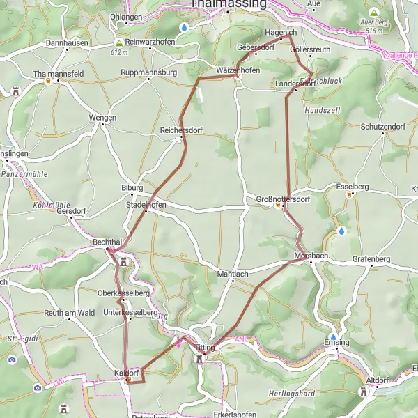
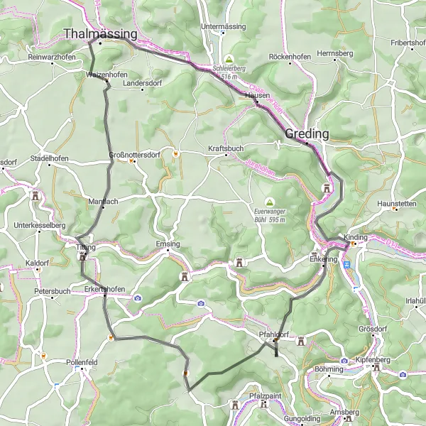
Embark on a scenic gravel adventure exploring the Reuther Platte and Bechthal
For gravel enthusiasts, this 29-kilometer adventure near Thalmässing offers a scenic route through the Reuther Platte and Bechthal. With an ascent of 459 meters, this route is suitable for all-level riders. Highlights of this gravel adventure include Reuther Platte, offering stunning vistas of the surrounding countryside, and Titting where you can expect beautiful tranquil scenery. Another highlight along the way is Bechthal, a charming village that captivates with its idyllic setting.
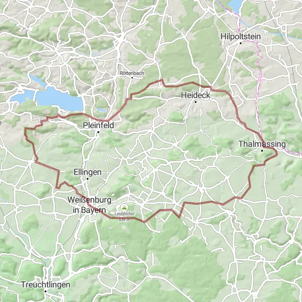
Embark on an epic road cycling adventure through Thalmässing and the surrounding region
This 129 km road route takes you through Thalmässing and its surroundings, offering a challenging yet rewarding experience. With 1330 meters of ascent, it is recommended for well-trained amateur cyclists. Along the way, you'll encounter several highlights that add to the touristic attractiveness of the route.
Discover the beauty of Thalmässing and its surroundings with this scenic gravel route
This 27 km gravel route takes you on a journey through the stunning landscapes around Thalmässing. With an ascent of 280 meters, it offers a relatively easy ride suitable for cyclists of all levels. Along the way, you'll encounter several highlights that enhance the overall experience.

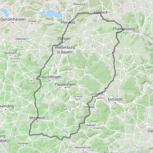
Experience the challenging ascent of Flüglinger Berg on this road cycling route
This road cycling route starting from Thalmässing offers a challenging climb up Flüglinger Berg. With a total distance of 91 kilometers and an ascent of 976 meters, this route is suitable for well-trained amateur cyclists looking for a challenging ride. Highlights include Gersdorf, an idyllic village at 9 kilometers, and the historical town of Pappenheim at 30 kilometers. As you continue along the route, admire the Bergfried tower at 30 kilometers and the stunning views from Lämmerberg at 39 kilometers. Other highlights of this route are Oberheumödern at 42 kilometers and the picturesque village of Flüglingen. True cycling enthusiasts won't want to miss the opportunity to test their skills climbing Flüglinger Berg at 56 kilometers.
Thalmässing Country Road Ride

Experience the challenge of Sollerberg and enjoy views from Niedermauk on this road cycling route starting from Thalmässing
Experience the challenge of Sollerberg on this scenic country road ride starting from Thalmässing. At 76 kilometers long with an ascent of 791 meters, this route provides a moderate challenge for amateur cyclists. The highlights include the idyllic village of Eysölden at 68 kilometers and a visit to Altenberg, known for its picturesque charm. Enjoy magnificent views from Niedermauk at 28 kilometers and take in the breathtaking landscapes of mäbenberg at 41 kilometers. As you continue closer to Thalmässing, relish in the enchanting scenery from Steinerne Höhe at 51 kilometers.
Cycling routes nearby:
Nearby regions: