Nuremberg Highlights
A road cycling route starting from Zirndorf
Discover the outskirts of Nuremberg
Map
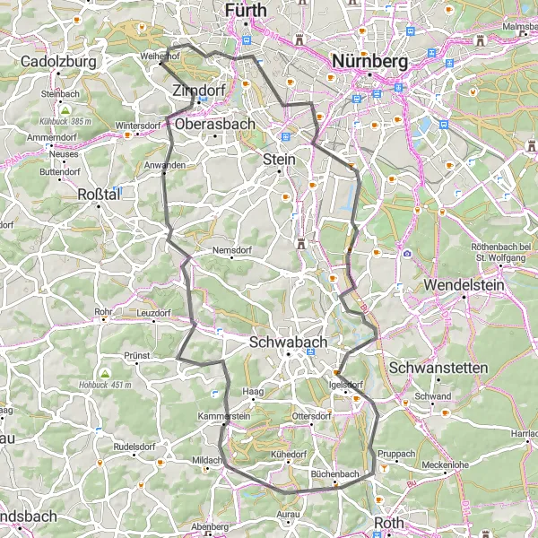
The Nuremberg Highlights route takes you through the outskirts of the vibrant city, offering a mix of urban and rural landscapes. This road cycling route covers a distance of 71 kilometers with a total ascent of 615 meters. It is moderately challenging, making it suitable for experienced cyclists. Along the way, you will pass by iconic landmarks such as the Fernmeldeturm Nürnberg, the Föhrenbuck viewpoint, and the historic town of Zirndorf. The route also offers stunning views from the Eichelberg and Kammerstein hills. This ride provides a unique perspective on Nuremberg and its surrounding areas, combining urban exploration with scenic countryside.
road
71 km
615 m
Tough
Route profile
Highlights on the route
0 km
0 km
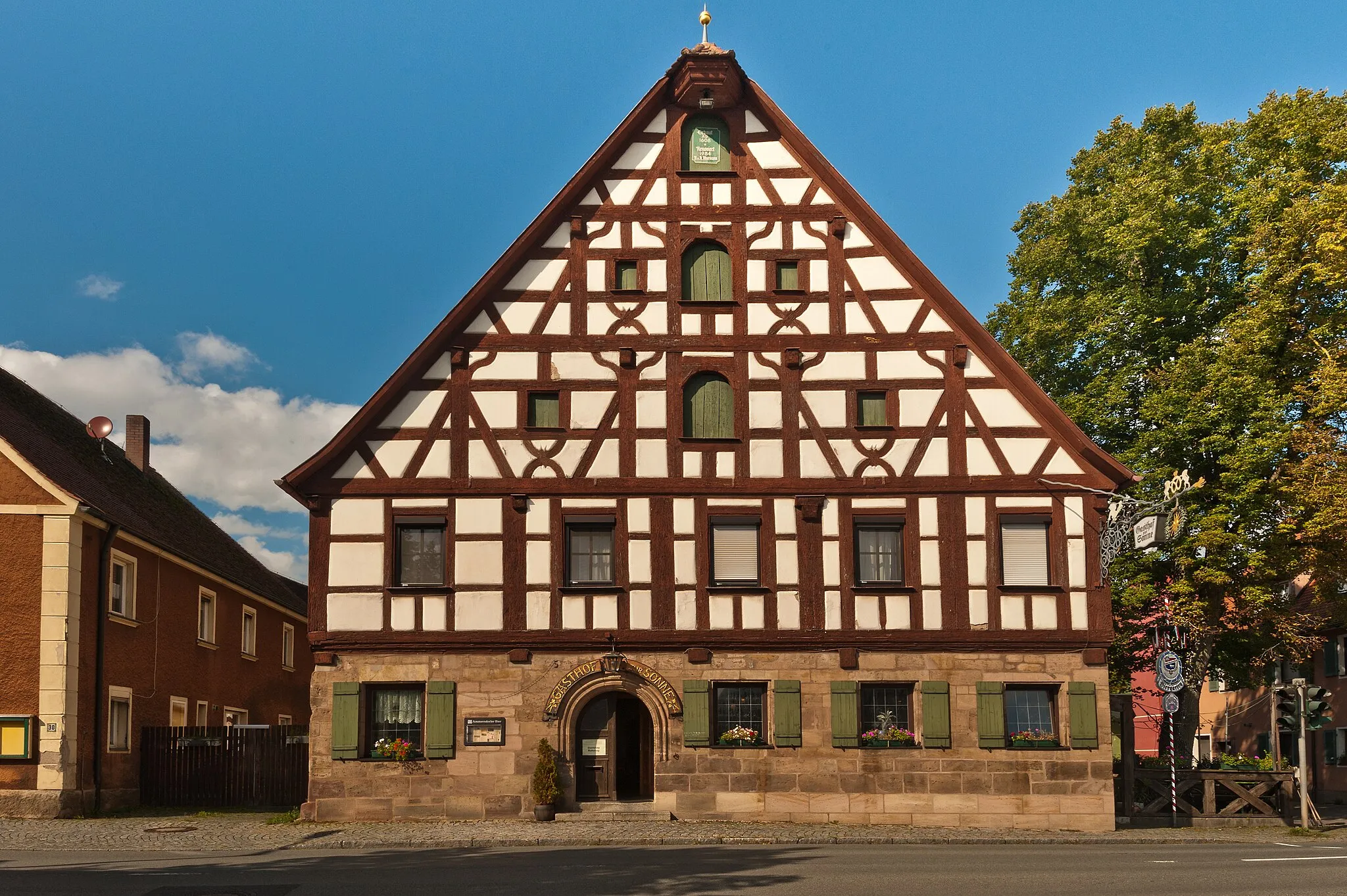
Start: Weiherhof Village centerZirndorf: Cycling Paradise in Mittelfranken
Zirndorf, located in Mittelfranken, Germany, is a great locality for road and gravel cycling. The region offers a variety of scenic routes and cycling paths, perfect for both casual and experienced cyclists. Cyclists can explore the beautiful countryside and enjoy the rolling hills and picturesque landscapes. Furthermore, Zirndorf is known for its proximity to the Franconian Switzerland region, which boasts a number of well-known climbs and challenging routes. With its cycling-friendly infrastructure and stunning surroundings, Zirndorf is a must-visit destination for cyclists of all levels.12 km
12 km
Fernmeldeturm NürnbergAttractionThe Fernmeldeturm Nürnberg is a telecommunications tower that boasts panoramic views of the city and its surroundings.
17 km
17 km
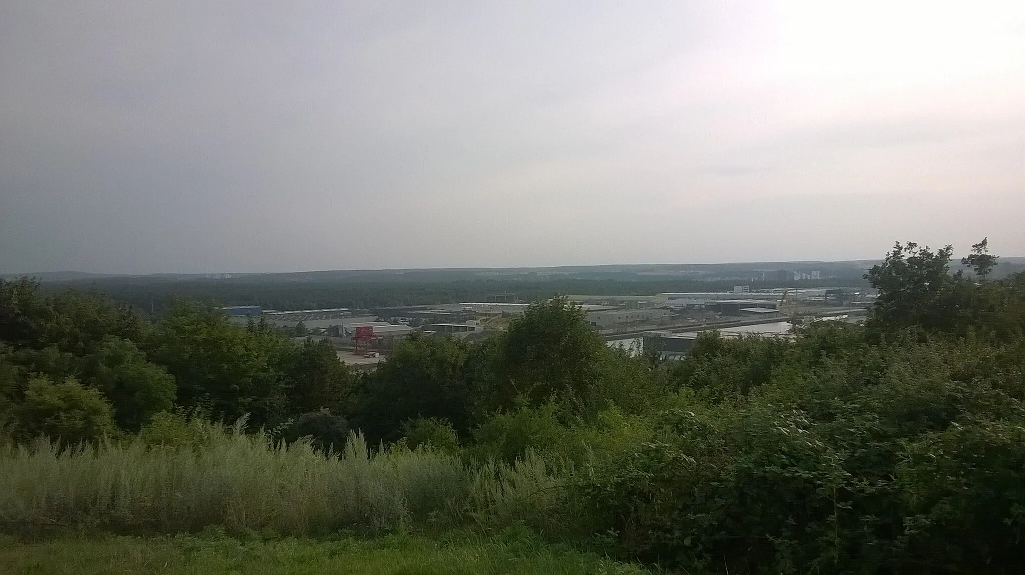
Föhrenbuck368 mPeakFöhrenbuck provides a breathtaking view of the Nuremberg area, with the city skyline in the distance.
32 km
32 km
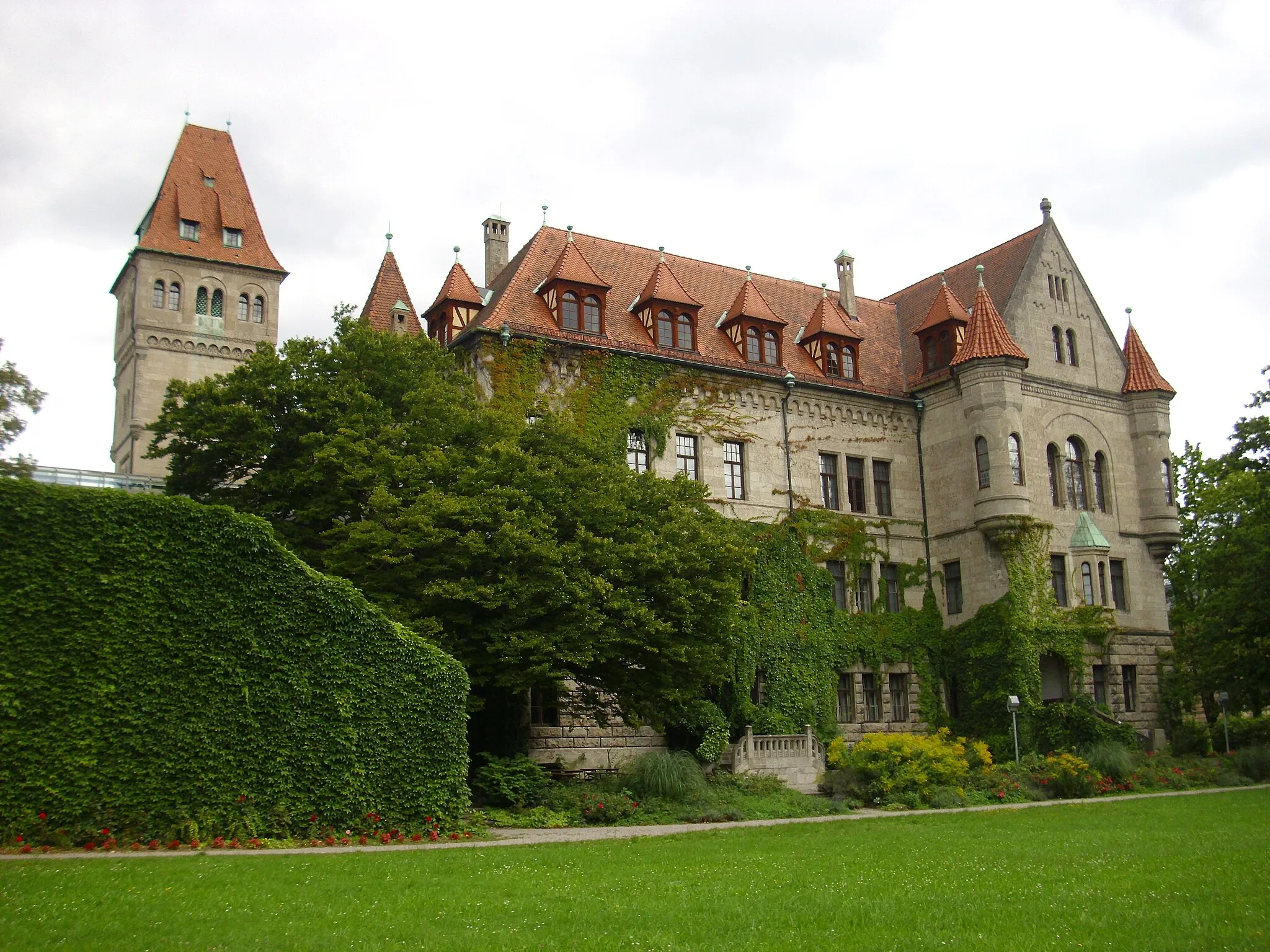
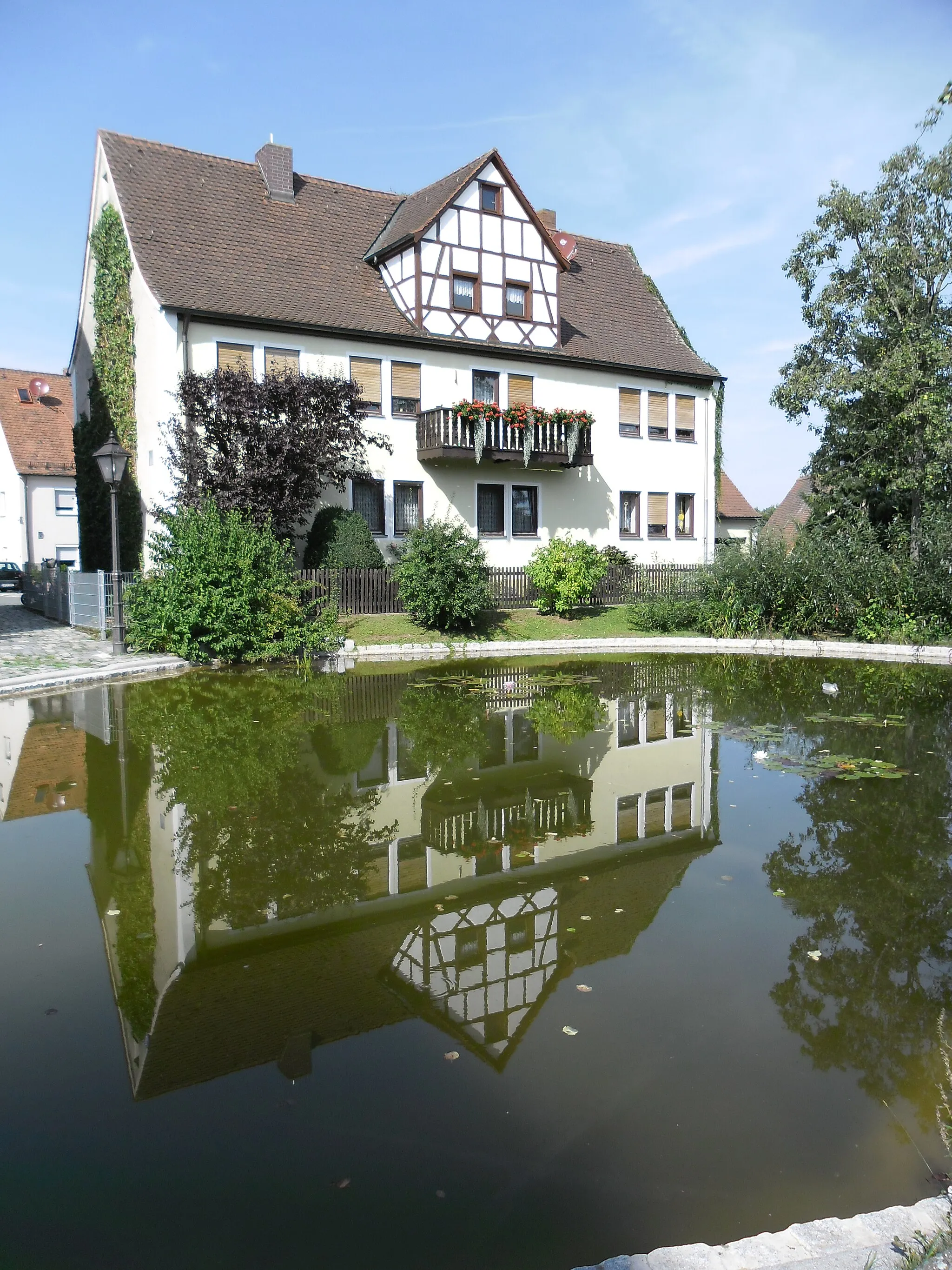
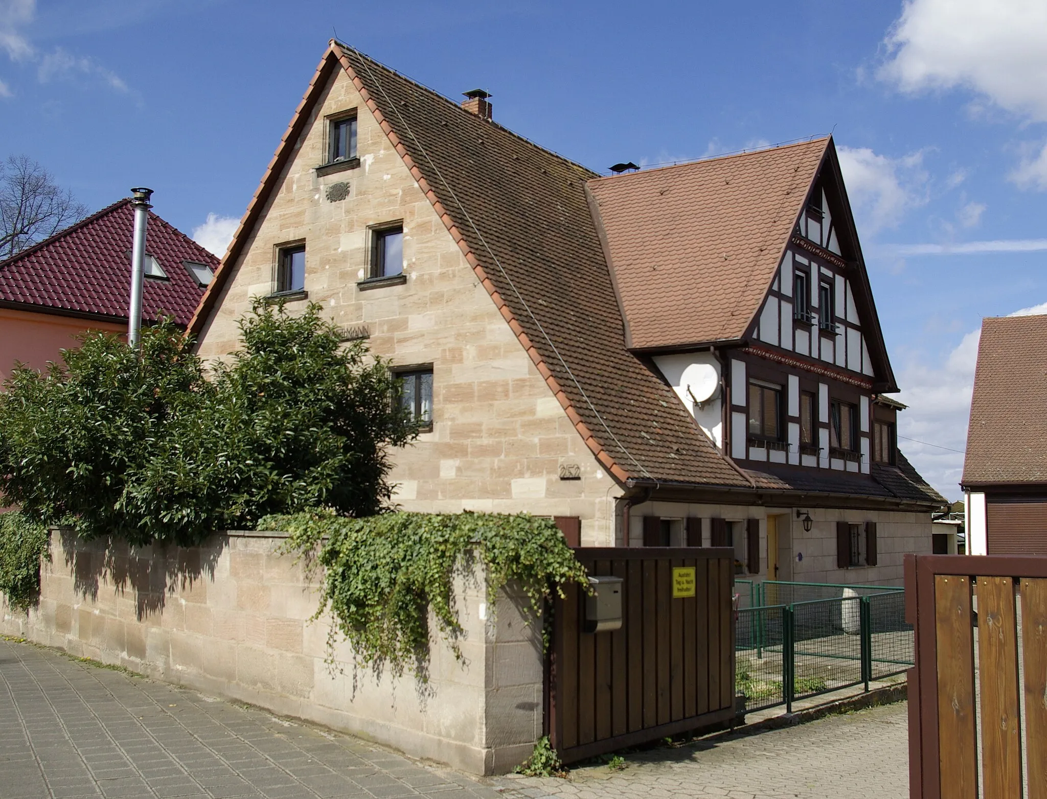
RednitzhembachVillageRednitzhembach is a picturesque town with a medieval castle and charming half-timbered houses.
43 km
43 km
Eichelberg436 mPeakEichelberg offers stunning views of the surrounding forests and farmland, perfect for nature enthusiasts.
46 km
46 km
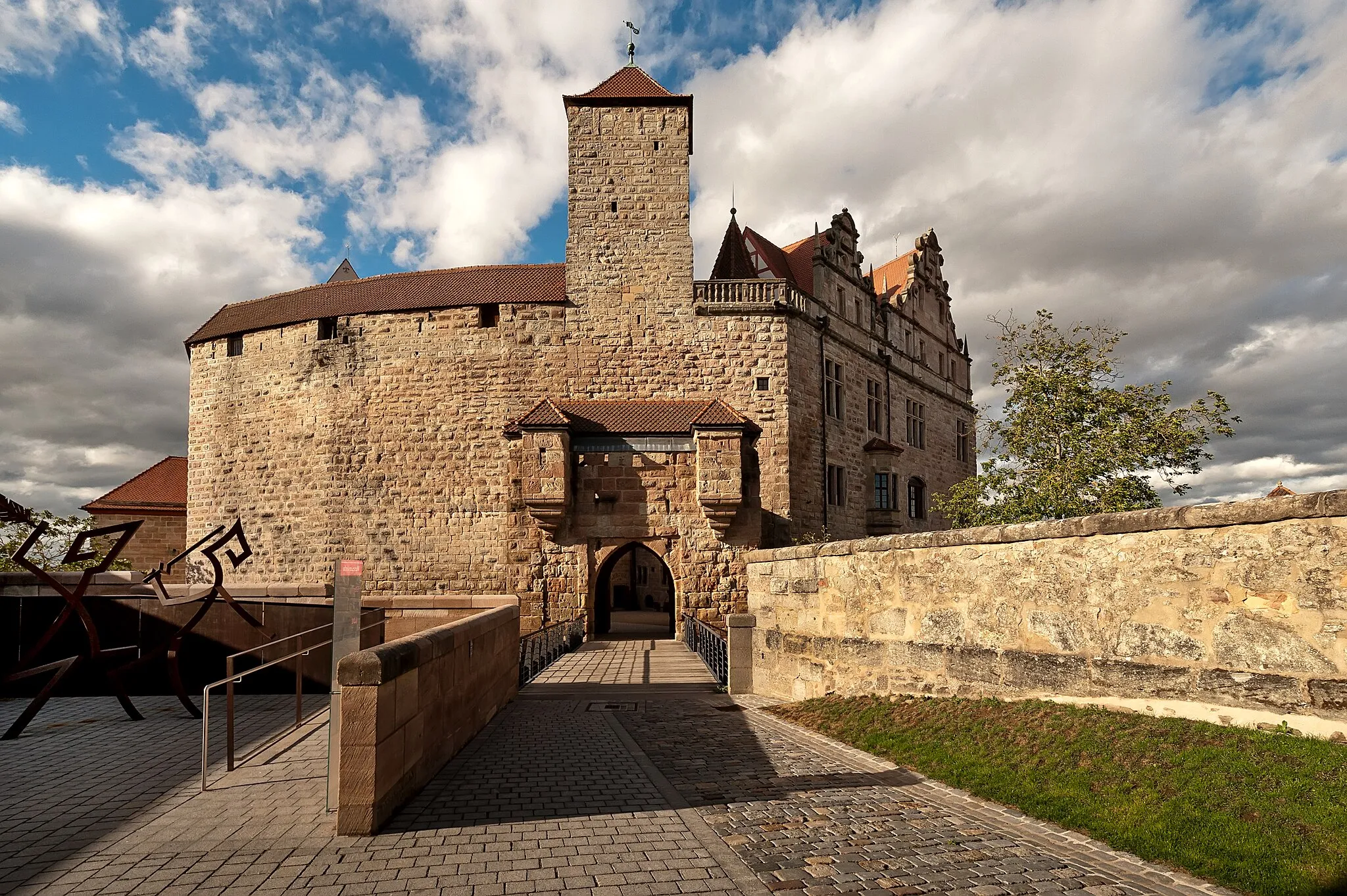
KammersteinVillageKammerstein is a small town known for its beautiful castle and idyllic location by the Rothsee lake.
69 km
69 km
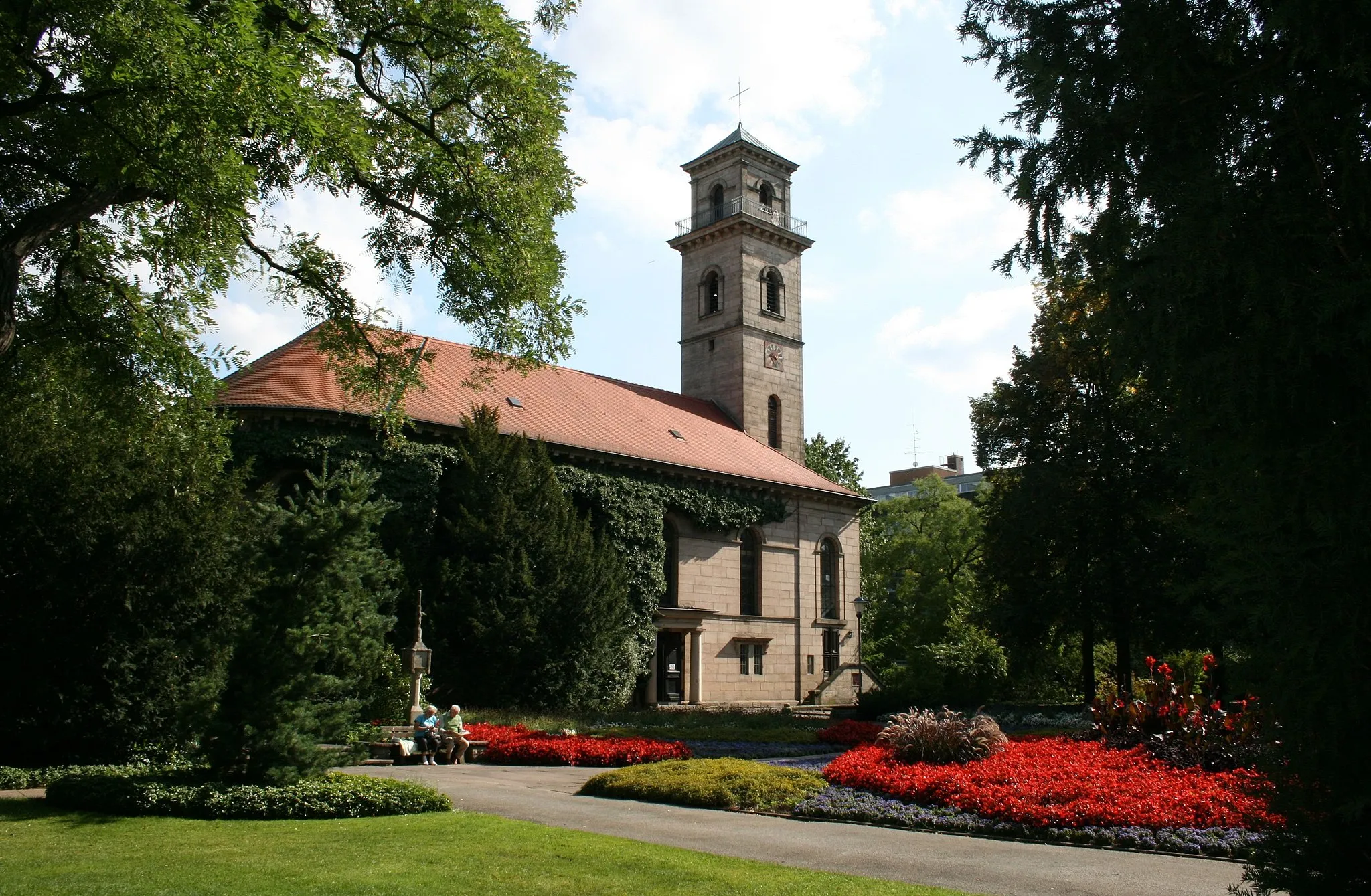
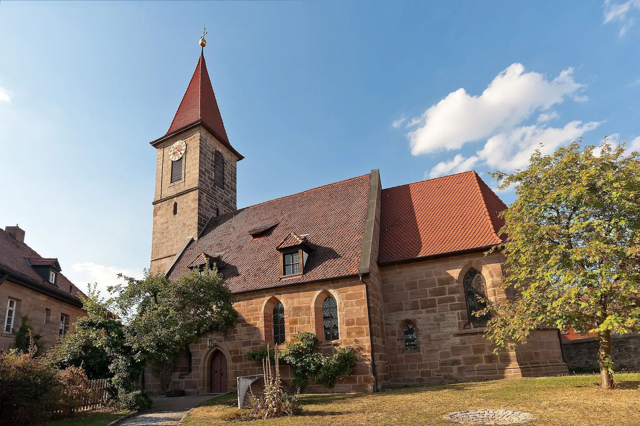
ZirndorfTownZirndorf is a historic town with well-preserved medieval buildings, including the impressive Stadtkirche Zirndorf.
70 km
70 km
Hensenberg363 mPeakHensenberg is a hill offering panoramic views of Nuremberg and the surrounding countryside.
71 km
71 km
Finish: Weiherhof Village centerZirndorf: Cycling Paradise in Mittelfranken
Cycling routes nearby: