Exploring Fürsteneck and Hoher Stein
A gravel cycling route starting from Buechlberg
Embark on a gravel adventure to Fürsteneck and Hoher Stein
Map
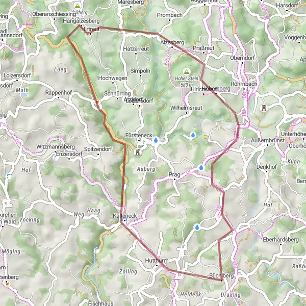
This gravel cycling route takes you on an exploration of the historic town of Fürsteneck and the magnificent Hoher Stein. With a total distance of 34 kilometers and an ascent of 759 meters, it offers an intermediate level of difficulty. The rugged terrain and off-road sections promise an exciting and challenging ride. Don't miss the opportunity to visit the impressive Aussichtsturm Büchlberg highlight, known for its stunning views of the surrounding landscape.
gravel
34 km
759 m
Tough
Route profile
Highlights on the route
0 km
0 km
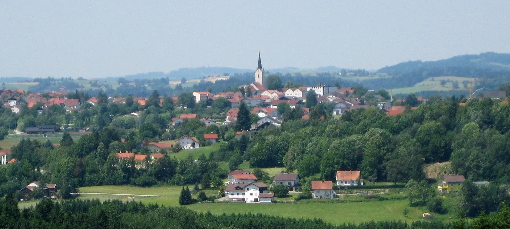
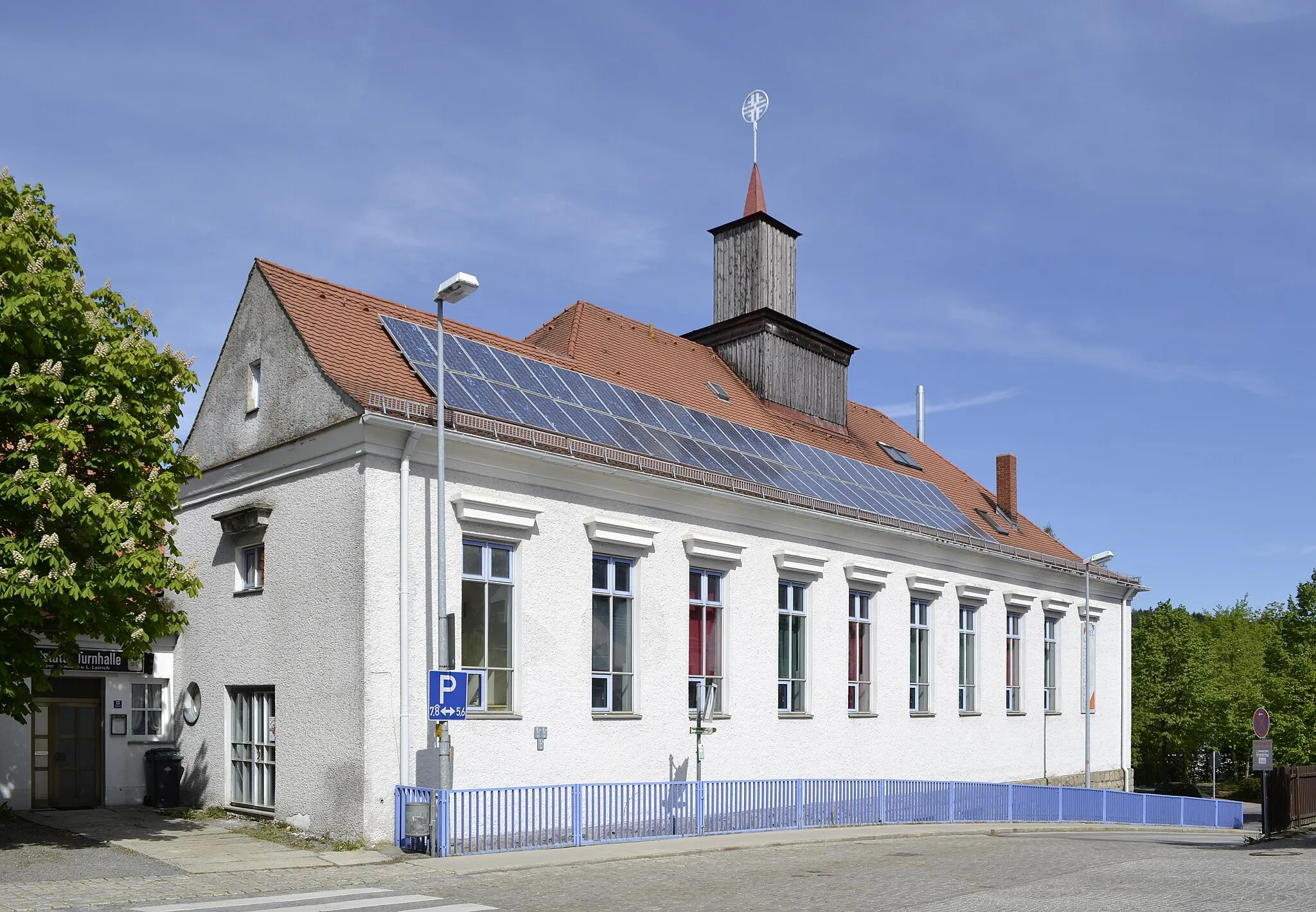
Start: Büchlberg Village centerBüchlberg: Discover the beauty of Bavaria while cycling through Büchlberg.
Büchlberg, situated in the Niederbayern region of Germany, offers a delightful cycling experience for both road and gravel cyclists. The locality is known for its diverse terrain, ranging from flat stretches along the Danube River to challenging hilly areas. Cyclists can enjoy scenic rides through charming Bavarian villages, surrounded by stunning landscapes. One of the prominent cycling attractions in Büchlberg is the 'Danube Cycle Path,' which is a popular route for long-distance cyclists. With its cycling-friendly infrastructure, beautiful surroundings, and the opportunity to explore the Danube River, Büchlberg is a fantastic destination for cycling enthusiasts from around the world.9 km
9 km
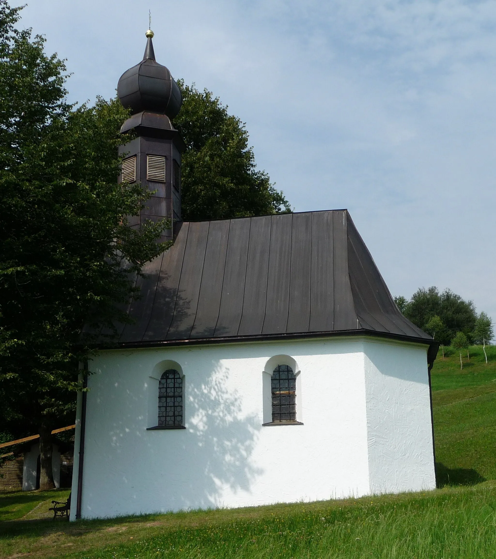
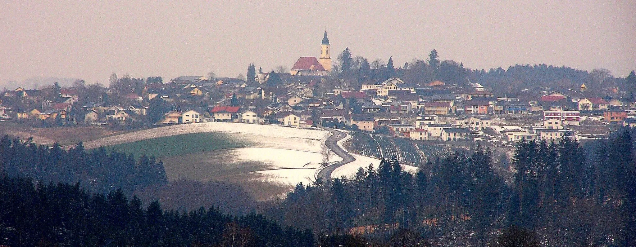
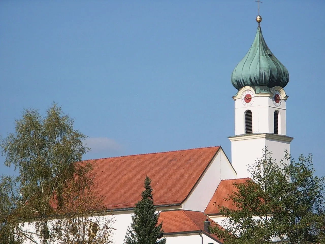
FürsteneckVillageFürsteneck is a charming town with a rich history. Explore its medieval castle and learn about its intriguing past.
23 km
23 km
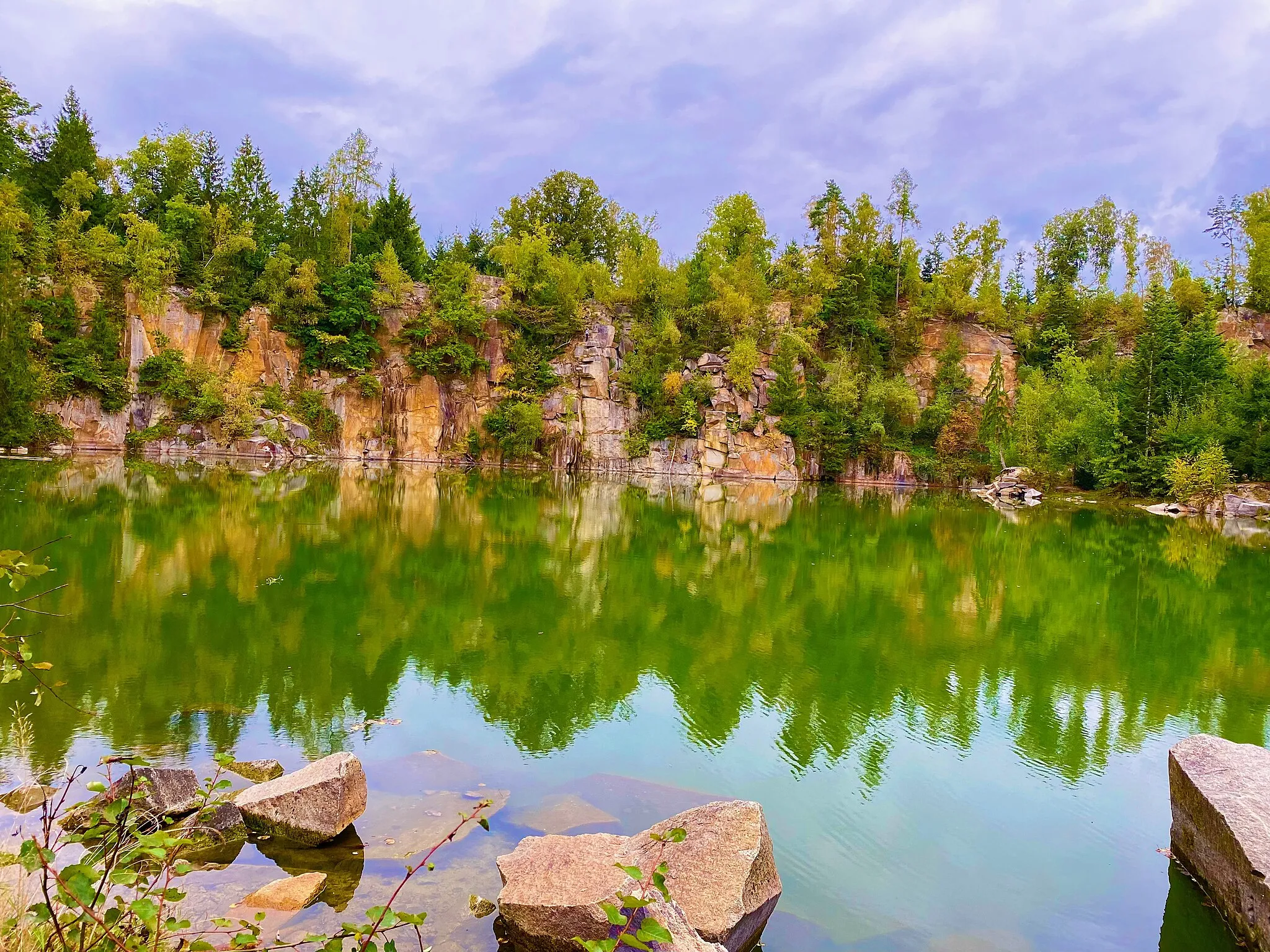
Hoher Stein583 mPeakHoher Stein is a majestic rock formation with panoramic views. Marvel at its natural beauty and enjoy the breathtaking scenery.
33 km
33 km
Aussichtsturm BüchlbergViewpointAussichtsturm Büchlberg offers unparalleled views of the surrounding landscapes. Take a moment to soak in the beauty and capture the perfect picture.
34 km
34 km
BüchlbergVillageBüchlberg, the starting point and endpoint of this route, is a picturesque village with a rich history. Discover its cultural heritage and enjoy the warm hospitality of the locals.
34 km
34 km
Finish: Büchlberg Village centerBüchlberg: Discover the beauty of Bavaria while cycling through Büchlberg.
Cycling routes from Buechlberg:
Gravel Adventure to Eberhardsberg and Oberfrauenwald Exploring Fürsteneck and Hoher Stein Scenic Road Cycling to Waldkirchen and Jandelsbrunn Through Steinberg and Hauzenberg Ultimate Challenge to Röhrnbach and Haidmühle Adventure through Kirchberg vorm Wald and Büchlberg Hohenau and Almberg Road Cycling Route Gravel Adventure from Büchlberg to Passau Nature and Adventure Cycling Route Salzweg and Donau Cycling Route The Diversity of Niederbayern: Büchlberg Gravel Adventure The Ultimate Gravel Adventure: Büchlberg to Schwarzenberg am Böhmerwald Discover the Breathtaking Beauty of Niederbayern: Hutthurm to Büchlberg
Cycling routes nearby: